Abbeville is a city in and the county seat of Henry County, in the southeast part of Alabama, United States. It is part of the Dothan, Alabama Metropolitan Statistical Area. At the 2020 census, the population was 2,358. It is the first city alphabetically, both by city and state, in the Rand McNally Road Atlas. It has two high schools: the public Abbeville High School and private Abbeville Christian Academy. Chapters of the Red Cross and Habitat for Humanity operate here.
| Name: | Abbeville city |
|---|---|
| LSAD Code: | 25 |
| LSAD Description: | city (suffix) |
| State: | Alabama |
| County: | Henry County |
| Elevation: | 449 ft (137 m) |
| Total Area: | 15.58 sq mi (40.36 km²) |
| Land Area: | 15.54 sq mi (40.26 km²) |
| Water Area: | 0.04 sq mi (0.11 km²) 0.32% |
| Total Population: | 2,358 |
| Population Density: | 151.71/sq mi (58.58/km²) |
| ZIP code: | 36310 |
| Area code: | 334 |
| FIPS code: | 0100124 |
| GNISfeature ID: | 112880 |
| Website: | www.cityofabbeville.org |
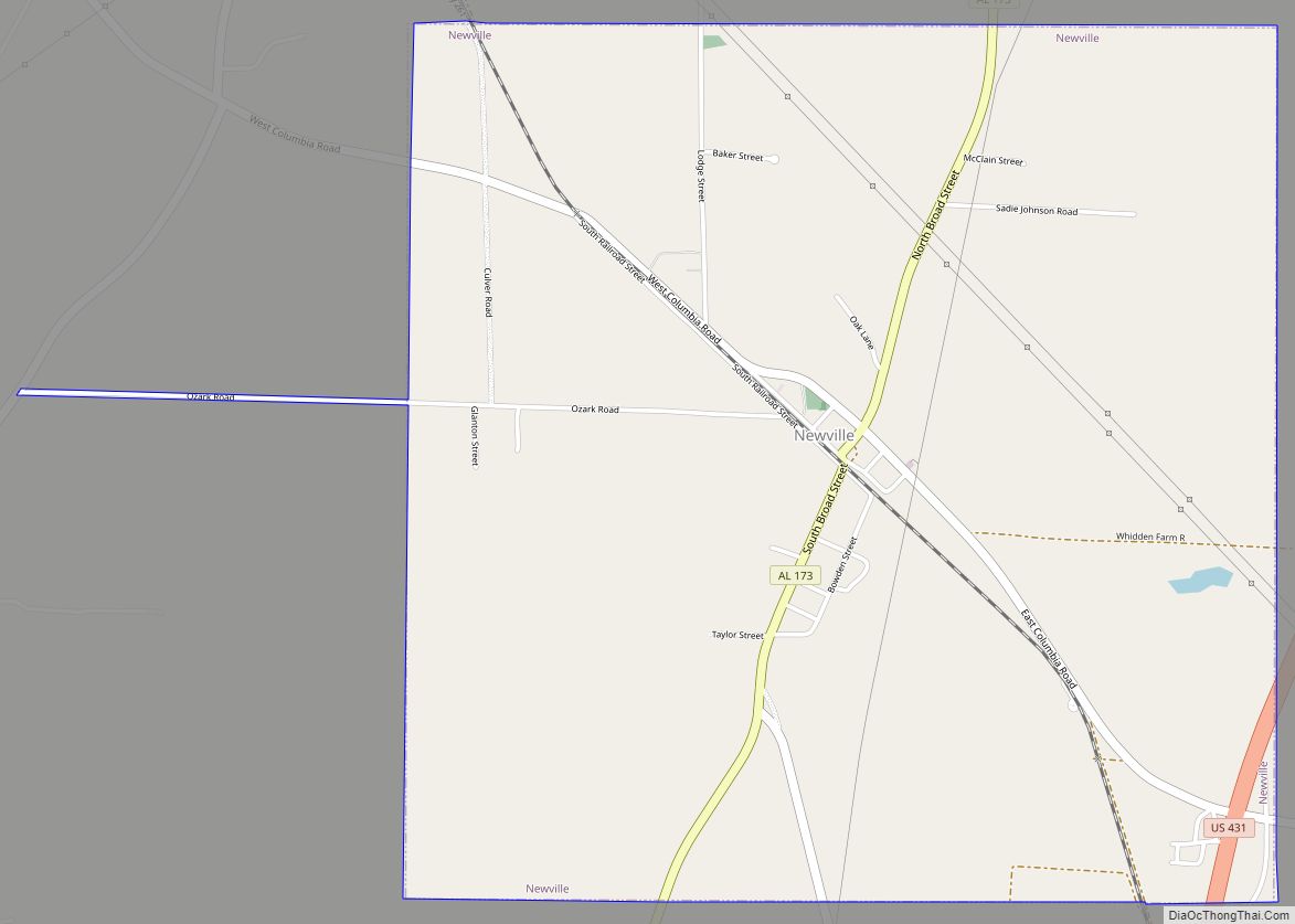
Online Interactive Map
Click on ![]() to view map in "full screen" mode.
to view map in "full screen" mode.
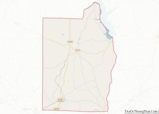
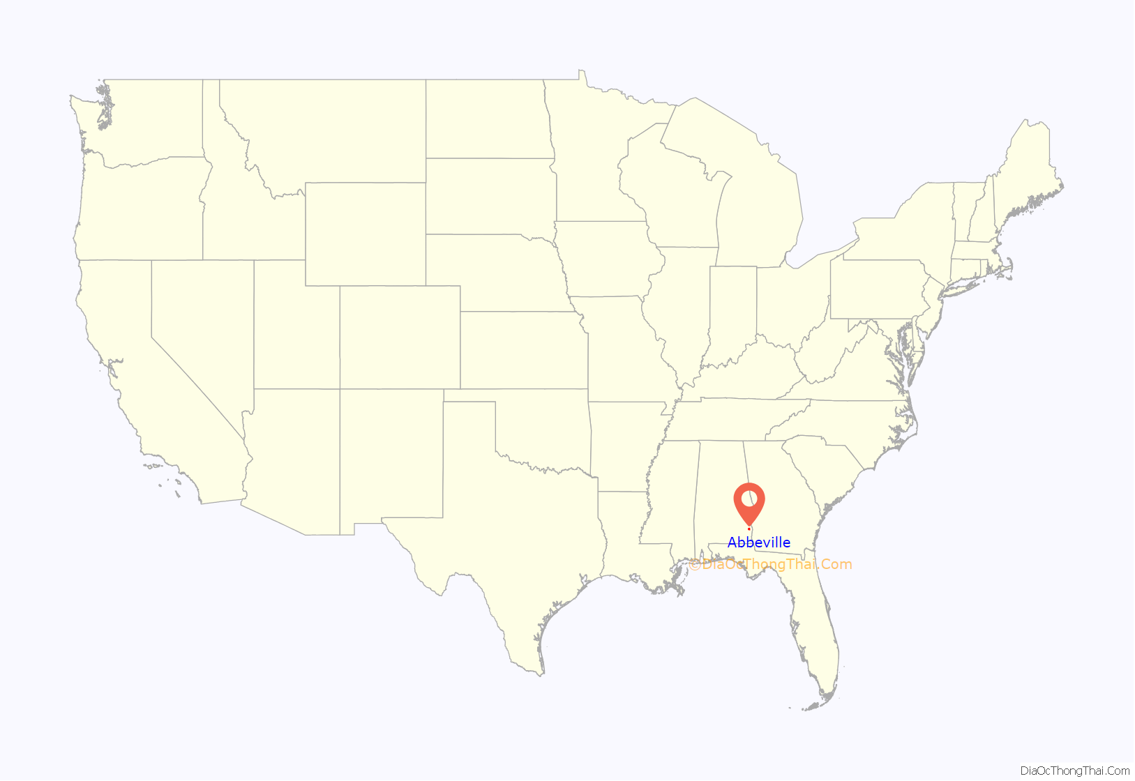
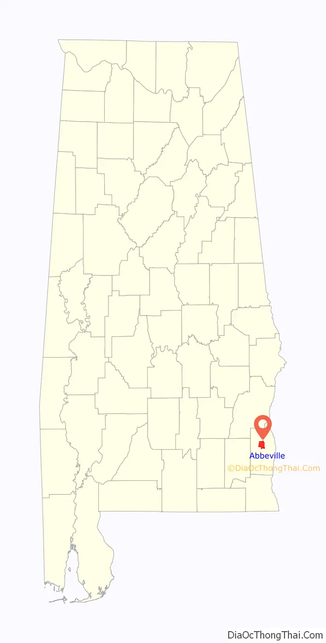
Abbeville location map. Where is Abbeville city?
History
European Americans set up an active trading post in Abbeville in Alabama Territory early in 1819. The first settler gateway to the wiregrass region was at Franklin, located fourteen miles west of Abbeville.
Locals say that the name derives from the Muscogee name for Abbey Creek, Yatta Abba, meaning “dogwood tree grove.”
Abbeville was designated as the Henry County seat in 1833; the seat had previously been Columbia. It was formally incorporated in 1853.
20th century to present
Abbeville suffered a catastrophic tragedy that wiped out most of the town when an arsonist almost burned the whole town to the ground on May 20, 1906. An entire block of Kirkland Street, the major portion of the business district, was destroyed. The nearby courthouse was almost lost but was saved through the efforts of the “bucket brigade” firefighters, who kept pouring water on the flat roof. During the week of June 28, 1906, a mechanic named Ward was arrested and charged with arson and starting the fire. His bond was set at $500. After his bail was paid, Mr. Ward fled Abbeville and the county and was never heard from again. Brick buildings were erected to replace the wooden structures that had been lost in the fire.
In February 1937, Wes Johnson, an 18-year-old African-American man, was accused of attacking a white woman and was arrested. He was abducted from the Henry County jail by a mob of 100 white men and lynched: shot and hanged to death. His body was found “bullet marked” and “swinging from a tree.” As was typical of lynchings, none of the members of the mob was charged with a crime. It has been suggested by local historians that Johnson and the white woman were engaged in a consensual sexual relationship, and the accusation of assault was merely a manufactured pretext for the lynching. Howell was featured on 60 Minutes on April 8, 2018 during an episode featuring Oprah Winfrey touring the new National Memorial for Peace and Justice in Montgomery, Alabama. Johnson is among the lynching victims memorialized there. Henry County is noted as among the 805 counties where lynchings took place. It had a total of 13 lynchings during the decades when this was frequent. In 1937 the Alabama Attorney General filed an impeachment against the Henry County sheriff for his failure to protect Johnson. An appeal was heard by the Alabama Supreme Court, which overturned the impeachment in June 1937. The Alabama Attorney General openly declared that Johnson was innocent of the charges against him.
In 1944, Recy Taylor, an African-American woman, was gang-raped by seven white men. Although the men admitted the rape to authorities, two grand juries subsequently declined to indict them. From a historic point of view, “the Recy Taylor case brought the building blocks of the Montgomery bus boycott together a decade earlier” than that event.
On November 5, 2002 Kirkland Street was hit by an F2 tornado. The tornado destroyed several single-family homes, mobile homes and many other homes and businesses. The damage at the Abbeville High School was deemed too costly to repair and was rebuilt in a new location. Downed power lines and uprooted trees were numerous and widespread. The Old Pioneer Cemetery was especially hard-hit.
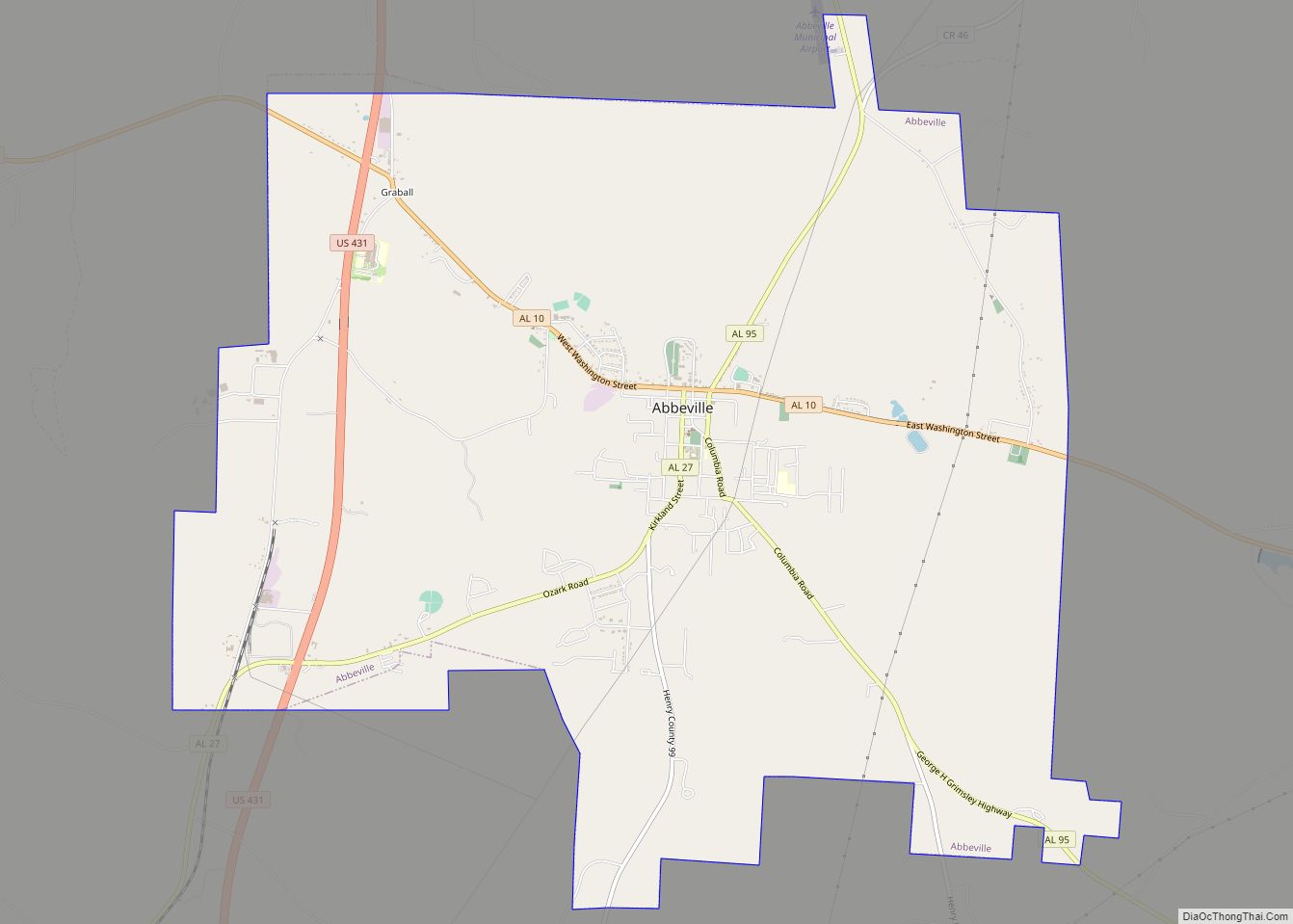
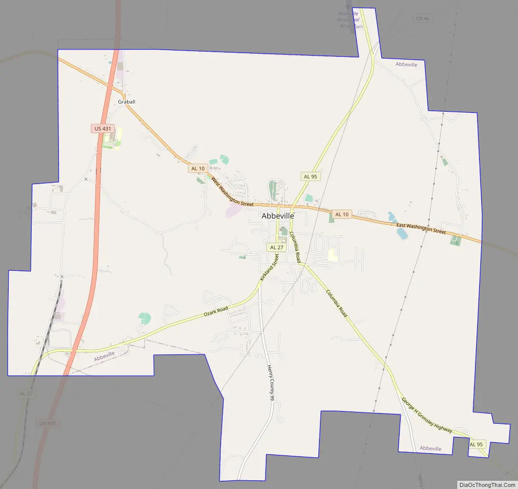
Abbeville Road Map
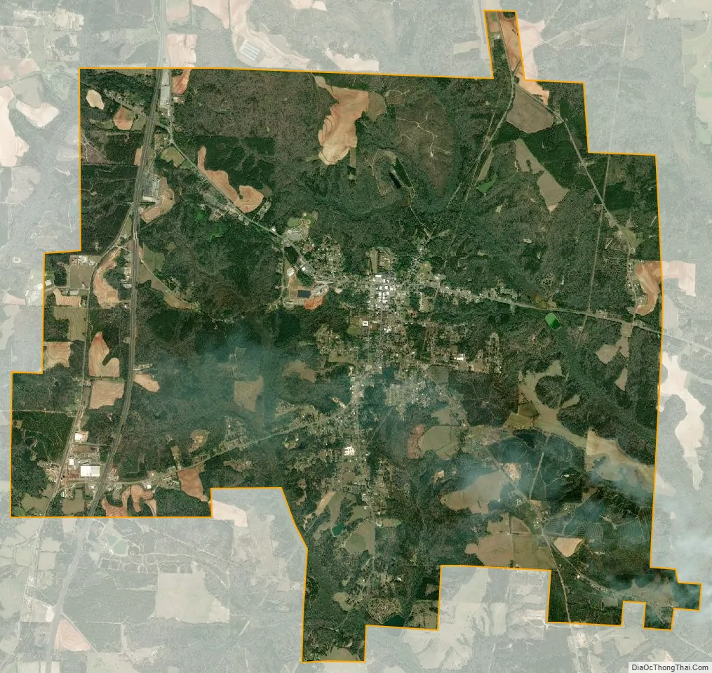
Abbeville city Satellite Map
Geography
Abbeville is located at 31°33′59″N 85°15′5″W / 31.56639°N 85.25139°W / 31.56639; -85.25139Coordinates: 31°33′59″N 85°15′5″W / 31.56639°N 85.25139°W / 31.56639; -85.25139 (31.566367, -85.251300).
The city is located in southeastern Alabama along U.S. Route 431, Alabama State Route 10, and Alabama State Route 27. U.S. 431 runs from north to south along the western side of the city as a four-lane divided highway, leading north 27 mi (43 km) to Eufaula and southwest 27 mi (43 km) to Dothan. AL-10 runs from west to east through the center of town as Washington Street, and leads east 13 mi (21 km) to the Georgia state line near Fort Gaines and northwest 17 mi (27 km) to Blue Springs. AL-27 leads southwest from the city 31 mi (50 km) to Ozark.
According to the U.S. Census Bureau, the city has a total area of 15.6 square miles (40 km), of which 15.6 square miles (40 km) is land and 0.1 square miles (0.26 km) (0.32%) is water.
Climate
The climate in this area is characterized by hot, humid summers and generally mild to cool winters. According to the Köppen Climate Classification system, Abbeville has a humid subtropical climate, abbreviated “Cfa” on climate maps.
See also
Map of Alabama State and its subdivision:- Autauga
- Baldwin
- Barbour
- Bibb
- Blount
- Bullock
- Butler
- Calhoun
- Chambers
- Cherokee
- Chilton
- Choctaw
- Clarke
- Clay
- Cleburne
- Coffee
- Colbert
- Conecuh
- Coosa
- Covington
- Crenshaw
- Cullman
- Dale
- Dallas
- De Kalb
- Elmore
- Escambia
- Etowah
- Fayette
- Franklin
- Geneva
- Greene
- Hale
- Henry
- Houston
- Jackson
- Jefferson
- Lamar
- Lauderdale
- Lawrence
- Lee
- Limestone
- Lowndes
- Macon
- Madison
- Marengo
- Marion
- Marshall
- Mobile
- Monroe
- Montgomery
- Morgan
- Perry
- Pickens
- Pike
- Randolph
- Russell
- Saint Clair
- Shelby
- Sumter
- Talladega
- Tallapoosa
- Tuscaloosa
- Walker
- Washington
- Wilcox
- Winston
- Alabama
- Alaska
- Arizona
- Arkansas
- California
- Colorado
- Connecticut
- Delaware
- District of Columbia
- Florida
- Georgia
- Hawaii
- Idaho
- Illinois
- Indiana
- Iowa
- Kansas
- Kentucky
- Louisiana
- Maine
- Maryland
- Massachusetts
- Michigan
- Minnesota
- Mississippi
- Missouri
- Montana
- Nebraska
- Nevada
- New Hampshire
- New Jersey
- New Mexico
- New York
- North Carolina
- North Dakota
- Ohio
- Oklahoma
- Oregon
- Pennsylvania
- Rhode Island
- South Carolina
- South Dakota
- Tennessee
- Texas
- Utah
- Vermont
- Virginia
- Washington
- West Virginia
- Wisconsin
- Wyoming