Alabaster is a city and southern suburb of Birmingham in Shelby County, Alabama, United States. At the 2020 census, the population was 33,284. Alabaster is the 16th largest city in Alabama by number of residents.
| Name: | Alabaster city |
|---|---|
| LSAD Code: | 25 |
| LSAD Description: | city (suffix) |
| State: | Alabama |
| County: | Shelby County |
| Elevation: | 584 ft (178 m) |
| Total Area: | 25.68 sq mi (66.50 km²) |
| Land Area: | 25.36 sq mi (65.69 km²) |
| Water Area: | 0.31 sq mi (0.81 km²) |
| Total Population: | 33,284 |
| ZIP code: | 35007, 35114 |
| FIPS code: | 0100820 |
| GNISfeature ID: | 2403069 |
| Website: | http://www.cityofalabaster.com |
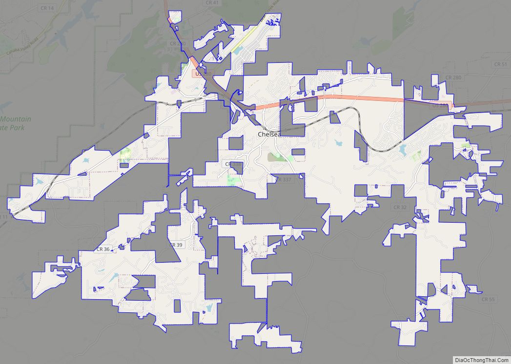
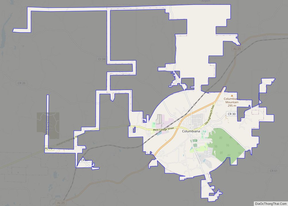
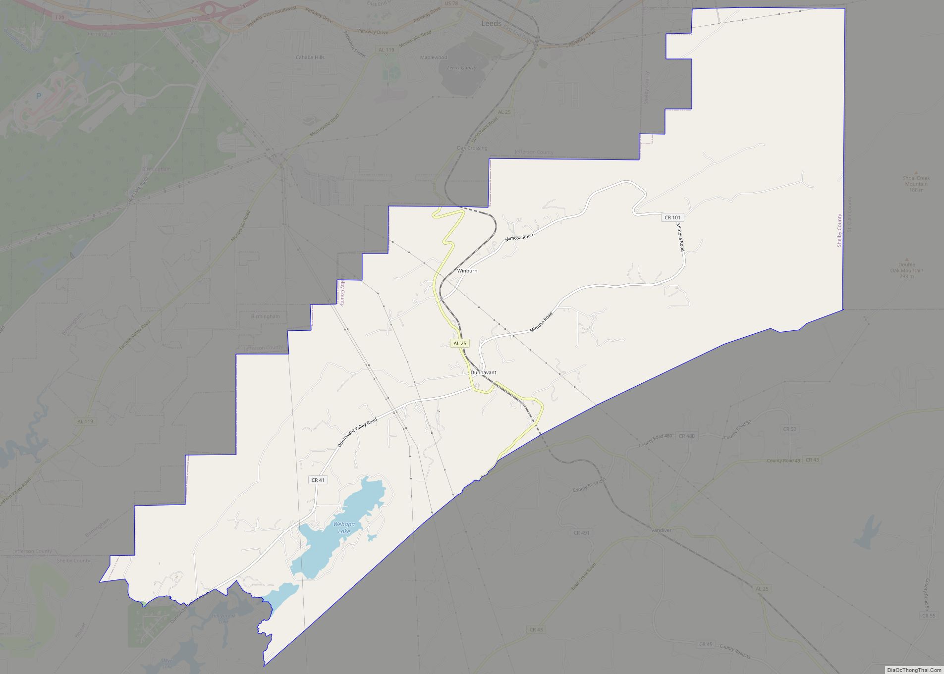
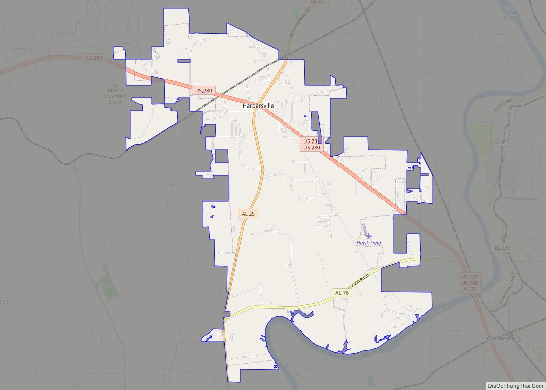
Online Interactive Map
Click on ![]() to view map in "full screen" mode.
to view map in "full screen" mode.
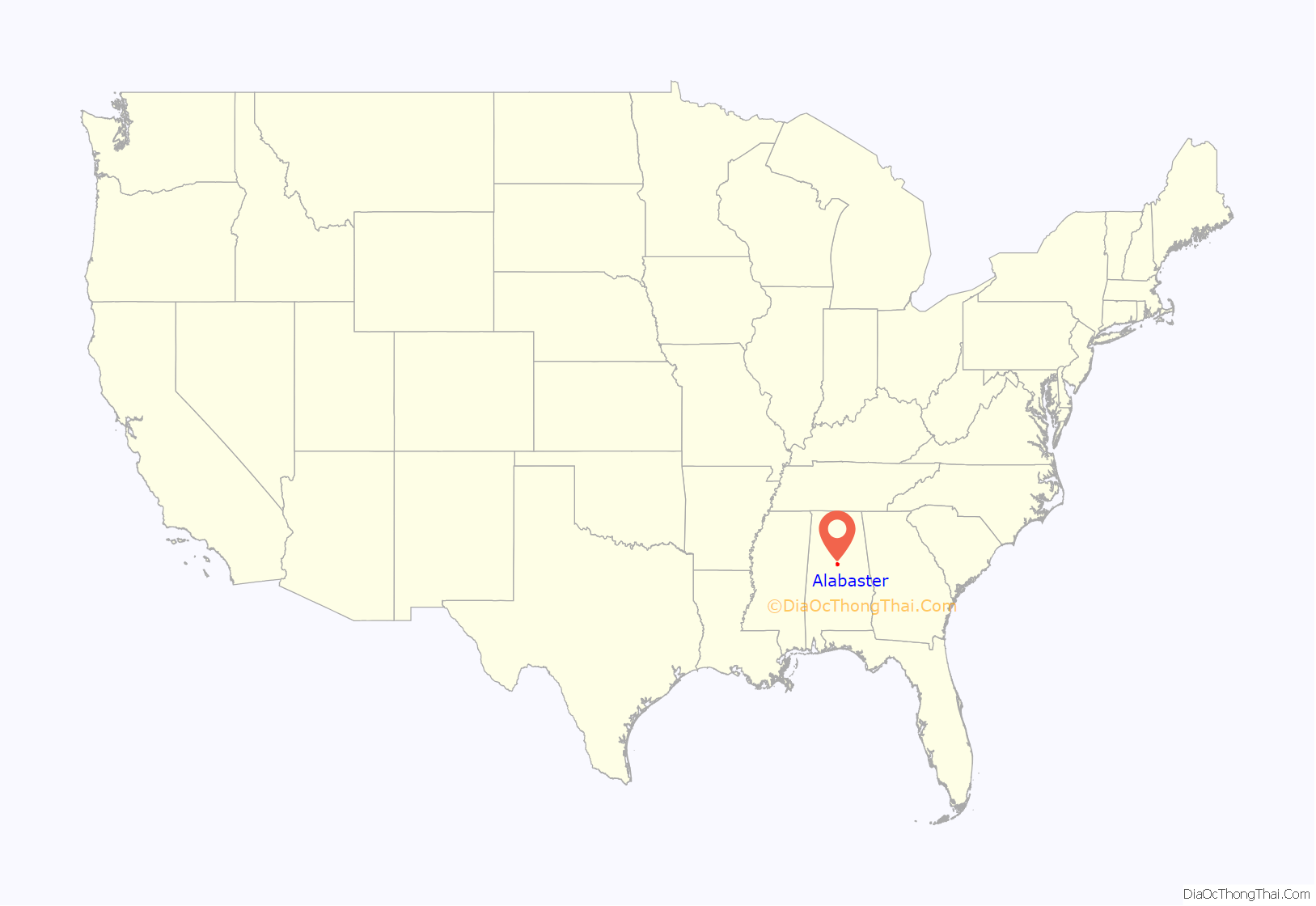
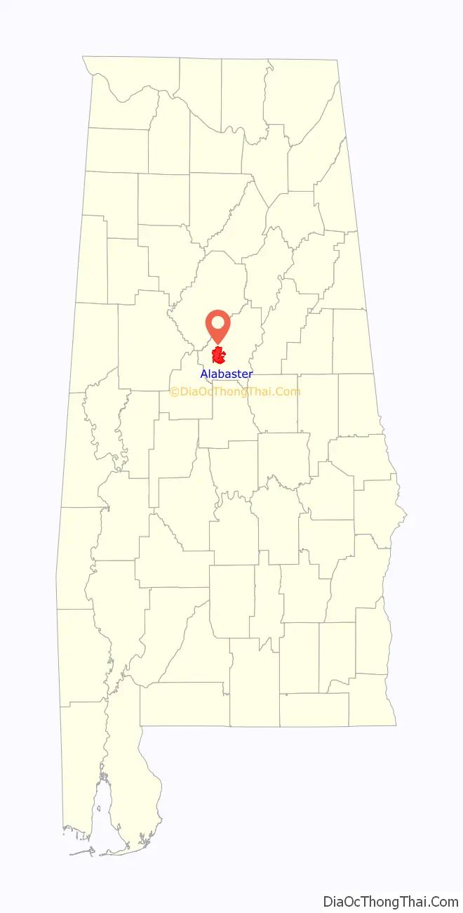
Alabaster location map. Where is Alabaster city?
History
George L. Scott Sr., an Alabaster pioneer, owned and operated Alabaster Lime Co., which mined this mineral. His shipping point was known as “Scott Rock.” Later, worker housing was built to accommodate some of the mine employees. The community was named Alabaster after the “white calcium carbonate mineral.”
The First Bank of Alabaster opened in 1952, and its president was George L. Scott Jr., who later was elected as the first mayor of Alabaster. The first attempt in 1952 to incorporate Alabaster failed. In January 1953, the petition was again filed, and on February 23, 1953, Alabaster was officially incorporated, with a favorable vote of 79 to 23, and 427 residing inhabitants. In 1955, the Alabaster Water and Gas Board was formed.
In 2015, the city announced that it was considering options to expand the area commonly known as the “Main Street Medical Mile” along Highway 31. The plans include not just expansion of medical facilities, but a civic center and different retail locations.
Additionally, it was announced in 2017 that a 350,000 square feet retail complex would be built at the corner of Highway 31 and Interstate 65. The new complex, currently named District 31, was slated to open in 2019, however as of 2020, the complex remained under construction.
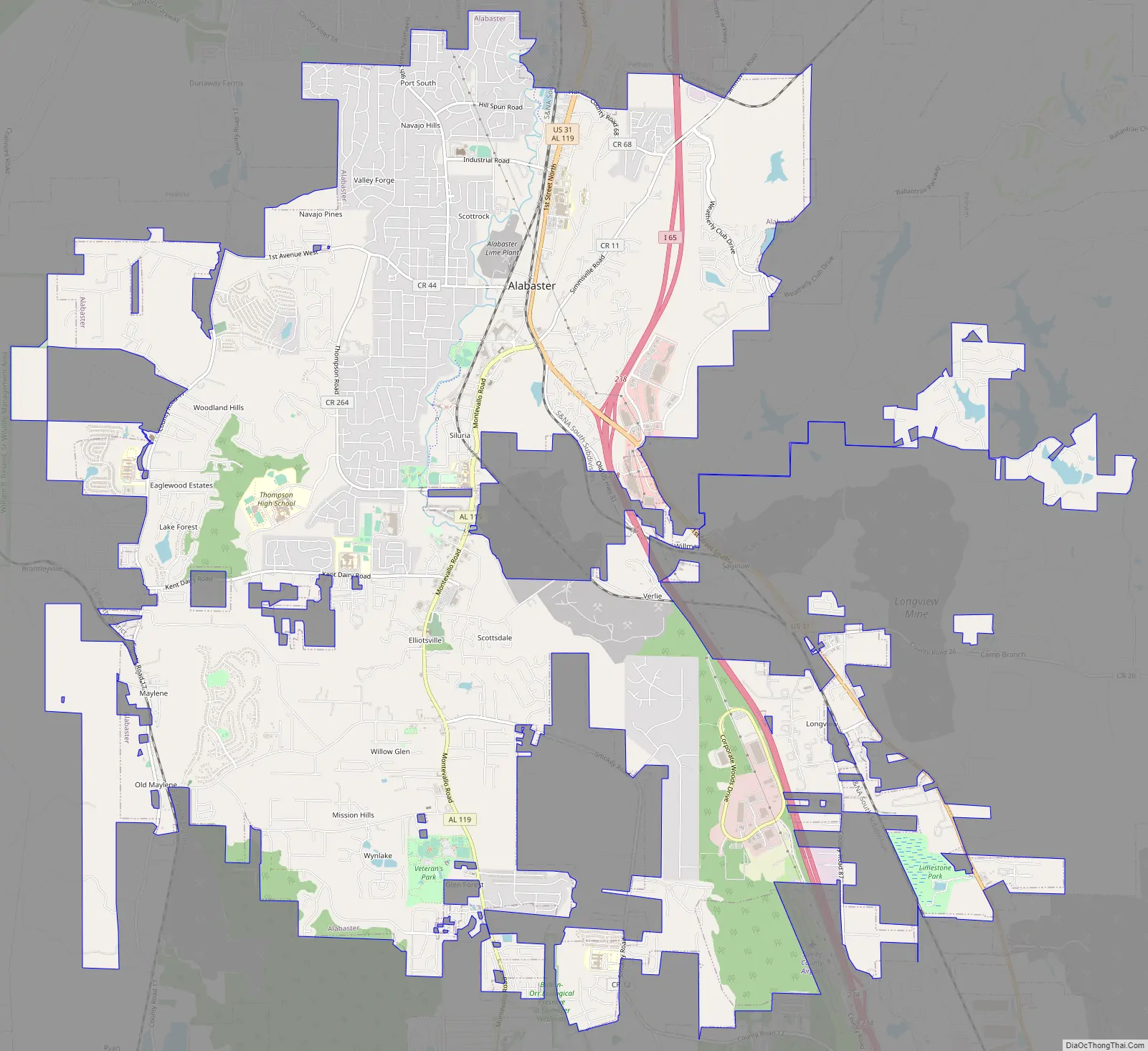
Alabaster Road Map
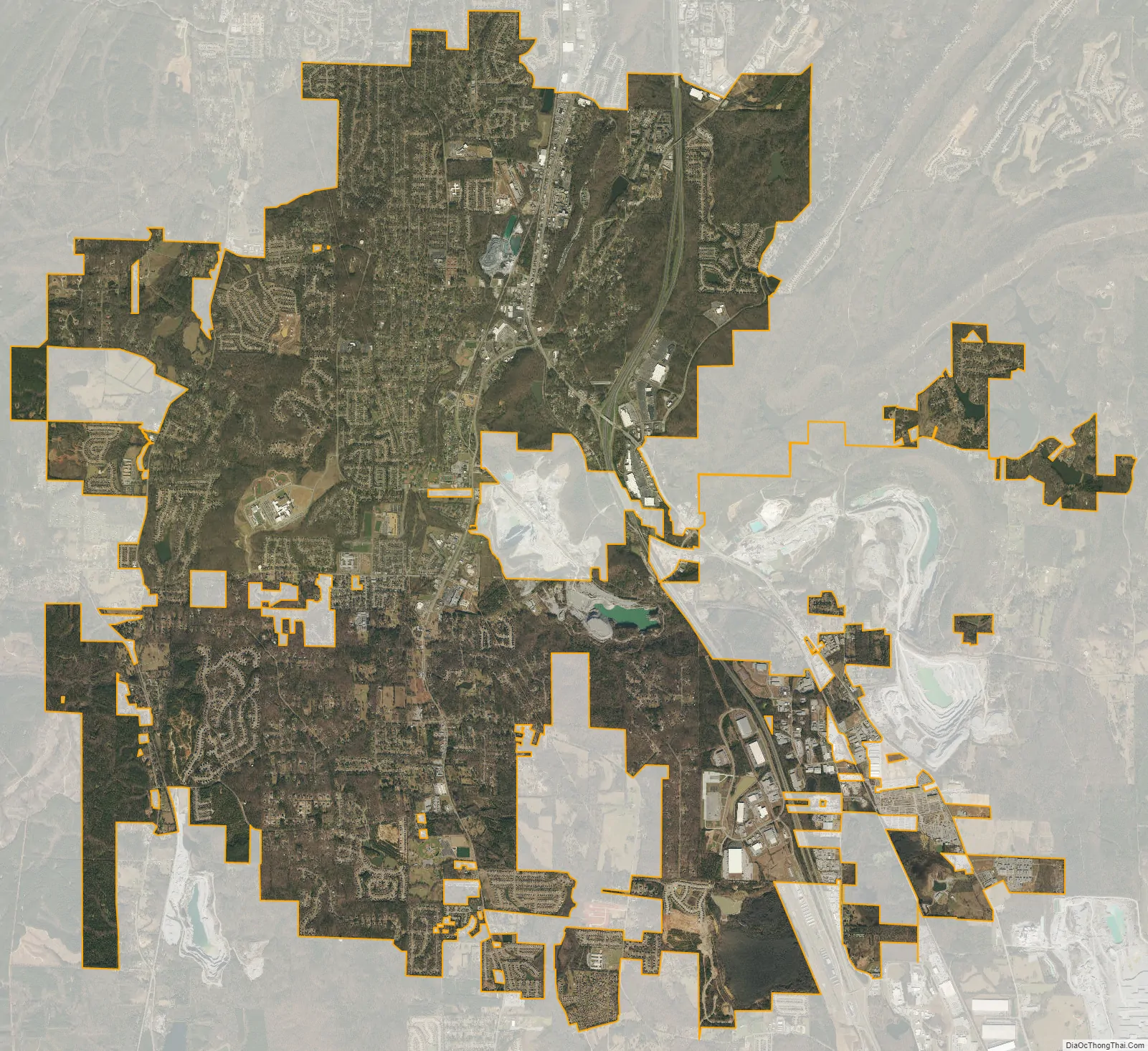
Alabaster city Satellite Map
Geography
Alabaster is located at 33°13′52″N 86°49′26″W / 33.23111°N 86.82389°W / 33.23111; -86.82389 (33.231162, −86.823829).
Alabaster mostly occupies the Cahaba and Opossum valleys, which are divided by the Pine Ridge that runs north to south. To the east and west, both valleys are flanked by parallel mountain ridges that locally run north to south, but are a part of a larger system of ridges that generally runs north-east to south-west (the tailing ends of the Appalachian foothills). The valleys are drained by small creeks (Buck Creek, Beaverdam Creek) that flow into the Cahaba River.
Access to the city from major highways is found from U.S. Route 31, which runs through the city, and via I-65 exit 238. Downtown Birmingham is 23 mi (37 km) north, and Montgomery is 69 mi (111 km) south, both via US-31 or I-65.
According to the U.S. Census Bureau, the city has a total area of 20.6 square miles (53 km), of which 20.5 square miles (53 km) is land and 0.1 square miles (0.26 km) (0.24%) is water.
Climate
According to the Köppen Climate Classification system, Alabaster has a humid subtropical climate, abbreviated “Cfa” on climate maps.
See also
Map of Alabama State and its subdivision:- Autauga
- Baldwin
- Barbour
- Bibb
- Blount
- Bullock
- Butler
- Calhoun
- Chambers
- Cherokee
- Chilton
- Choctaw
- Clarke
- Clay
- Cleburne
- Coffee
- Colbert
- Conecuh
- Coosa
- Covington
- Crenshaw
- Cullman
- Dale
- Dallas
- De Kalb
- Elmore
- Escambia
- Etowah
- Fayette
- Franklin
- Geneva
- Greene
- Hale
- Henry
- Houston
- Jackson
- Jefferson
- Lamar
- Lauderdale
- Lawrence
- Lee
- Limestone
- Lowndes
- Macon
- Madison
- Marengo
- Marion
- Marshall
- Mobile
- Monroe
- Montgomery
- Morgan
- Perry
- Pickens
- Pike
- Randolph
- Russell
- Saint Clair
- Shelby
- Sumter
- Talladega
- Tallapoosa
- Tuscaloosa
- Walker
- Washington
- Wilcox
- Winston
- Alabama
- Alaska
- Arizona
- Arkansas
- California
- Colorado
- Connecticut
- Delaware
- District of Columbia
- Florida
- Georgia
- Hawaii
- Idaho
- Illinois
- Indiana
- Iowa
- Kansas
- Kentucky
- Louisiana
- Maine
- Maryland
- Massachusetts
- Michigan
- Minnesota
- Mississippi
- Missouri
- Montana
- Nebraska
- Nevada
- New Hampshire
- New Jersey
- New Mexico
- New York
- North Carolina
- North Dakota
- Ohio
- Oklahoma
- Oregon
- Pennsylvania
- Rhode Island
- South Carolina
- South Dakota
- Tennessee
- Texas
- Utah
- Vermont
- Virginia
- Washington
- West Virginia
- Wisconsin
- Wyoming