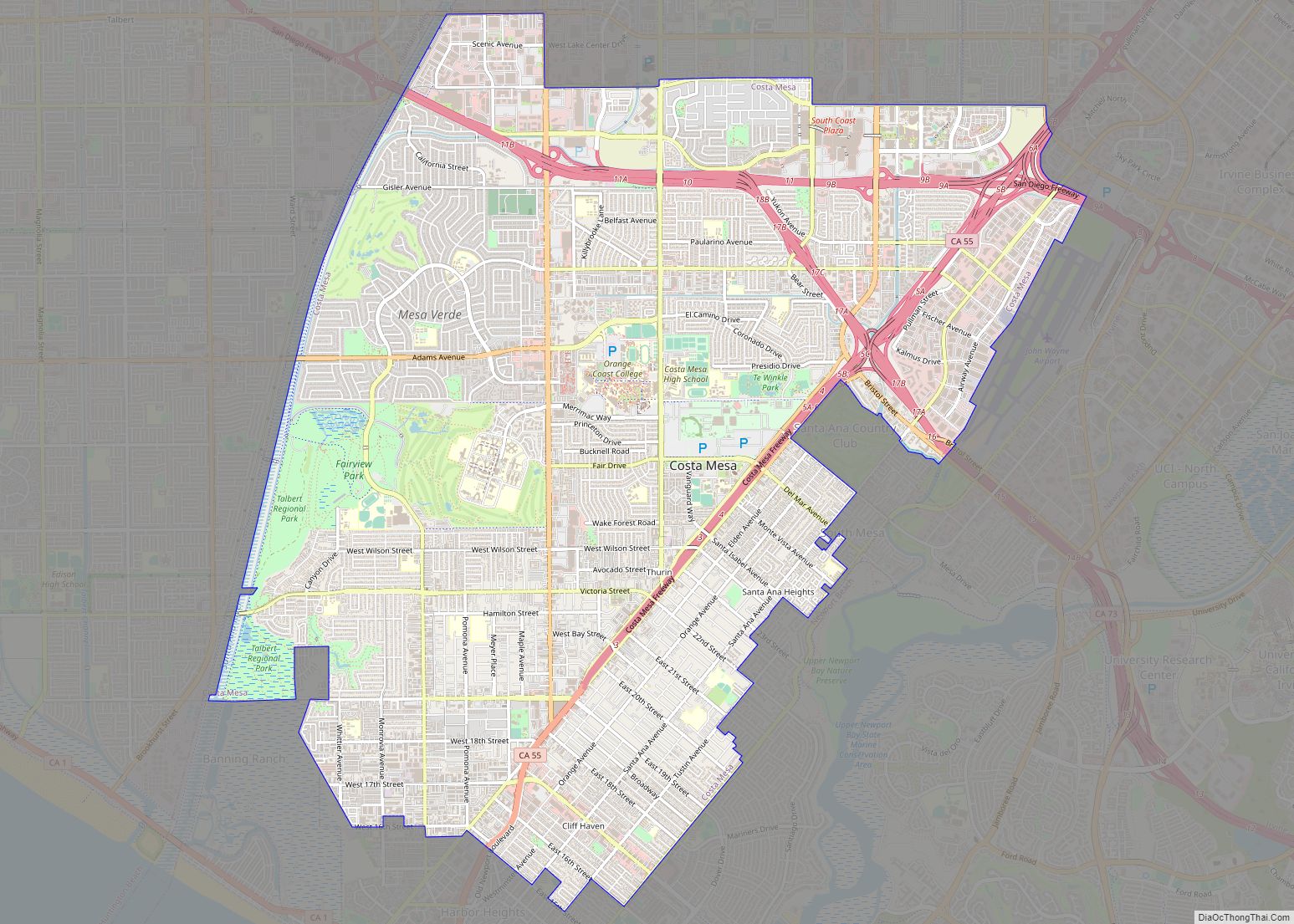
Costa Mesa (/ˌkoʊstə ˈmeɪsə/; Spanish for “Mesa Coast”) is a city in Orange County, California, United States. Since its incorporation in 1953, the city has grown from a semi-rural farming community of 16,840 to an urban area including part of the South Coast Plaza–John Wayne Airport edge city, one of the region’s largest commercial clusters, ... Read more
California Cities and Places
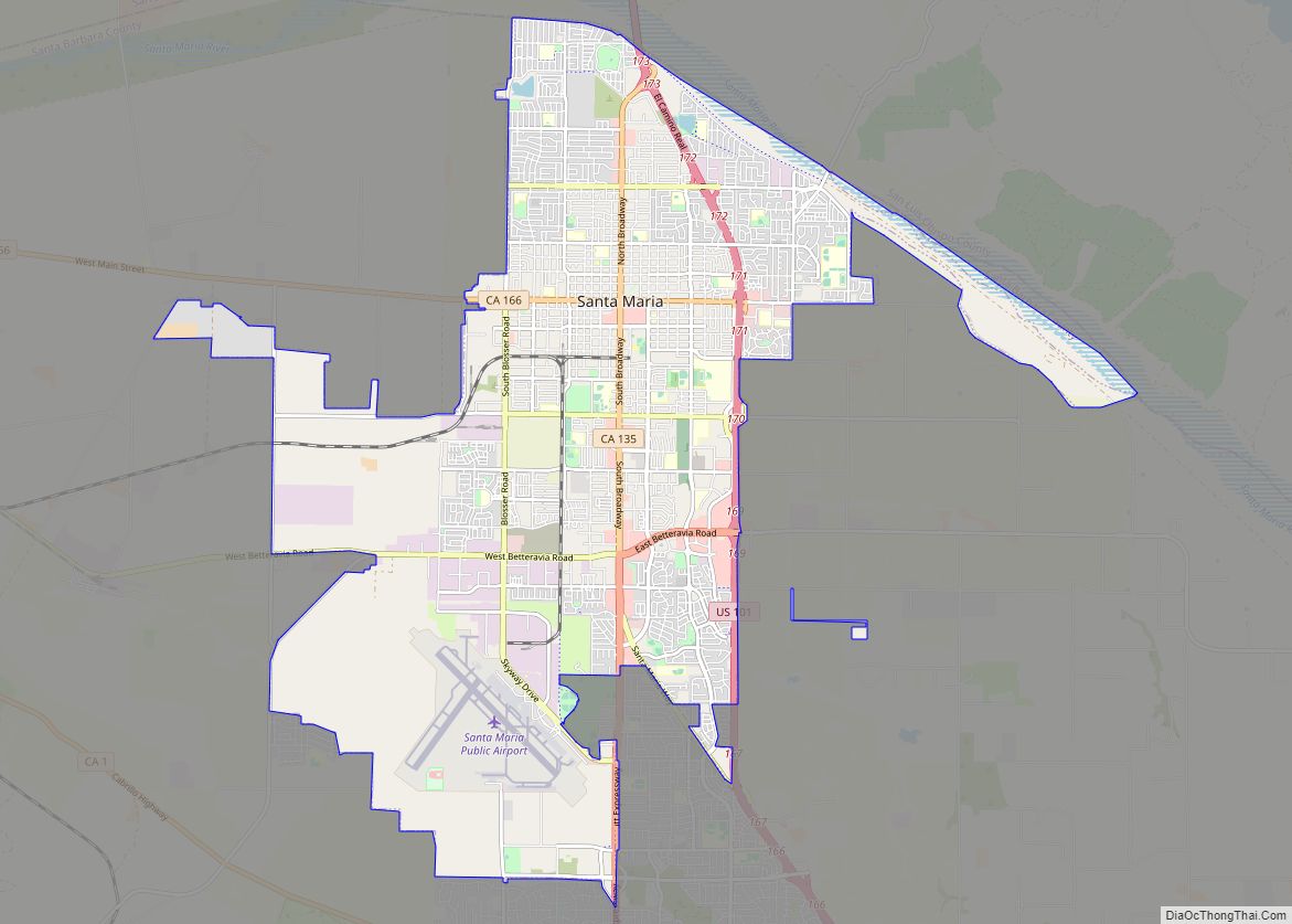
Santa Maria (Spanish for “St. Mary”) is a city in the Central Coast of California in northern Santa Barbara County. It is approximately 65 miles (105 km) northwest of Santa Barbara and 150 miles (240 km) northwest of downtown Los Angeles. Its population was 109,707 at the 2020 census, making it the most populous city in the ... Read more
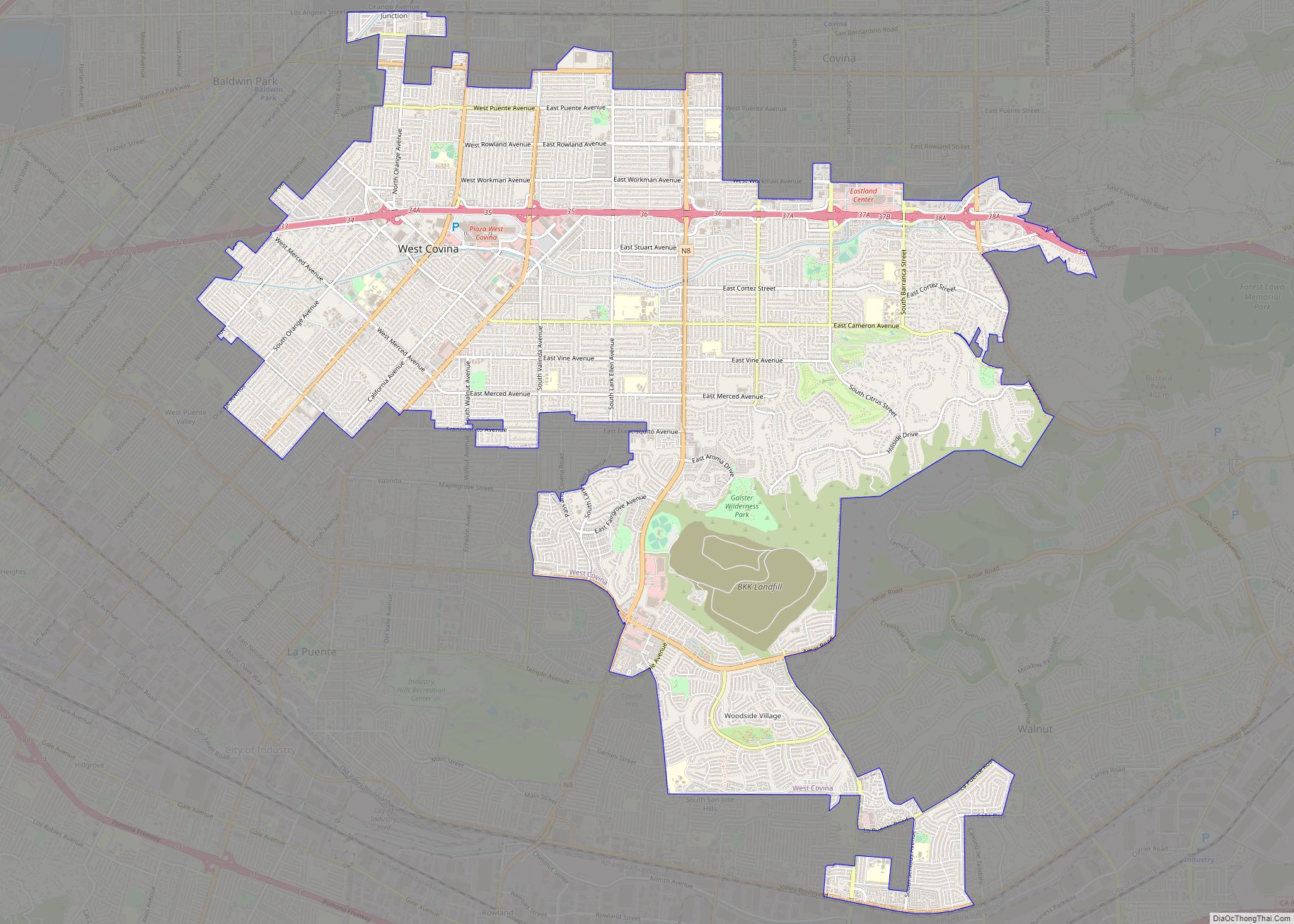
West Covina is a suburban city in Los Angeles County, California, United States. Located 19 miles (31 km) east of Downtown Los Angeles in the eastern San Gabriel Valley, it is part of Greater Los Angeles. The population for the city was 106,098 at the 2010 census. West Covina is bordered by Covina to the northeast, ... Read more
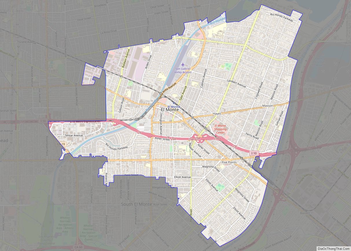
El Monte (Spanish for “The Mountain”) is a city in Los Angeles County, California, United States. The city lies in the San Gabriel Valley, east of the city of Los Angeles. El Monte’s slogan is “Welcome to Friendly El Monte” and is historically known as “The End of the Santa Fe Trail”. As of the ... Read more
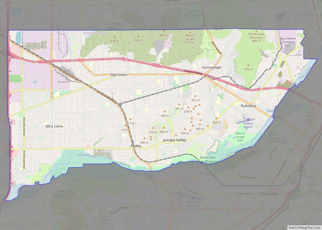
Jurupa Valley (Serrano: Hurumpa) is a city in the northwest corner of Riverside County, California, United States. It was the location of one of the earliest non-native settlements in the county, Rancho Jurupa. The Rancho was initially an outpost of the Mission San Gabriel Arcángel, then a Mexican land grant in 1838. The name is ... Read more
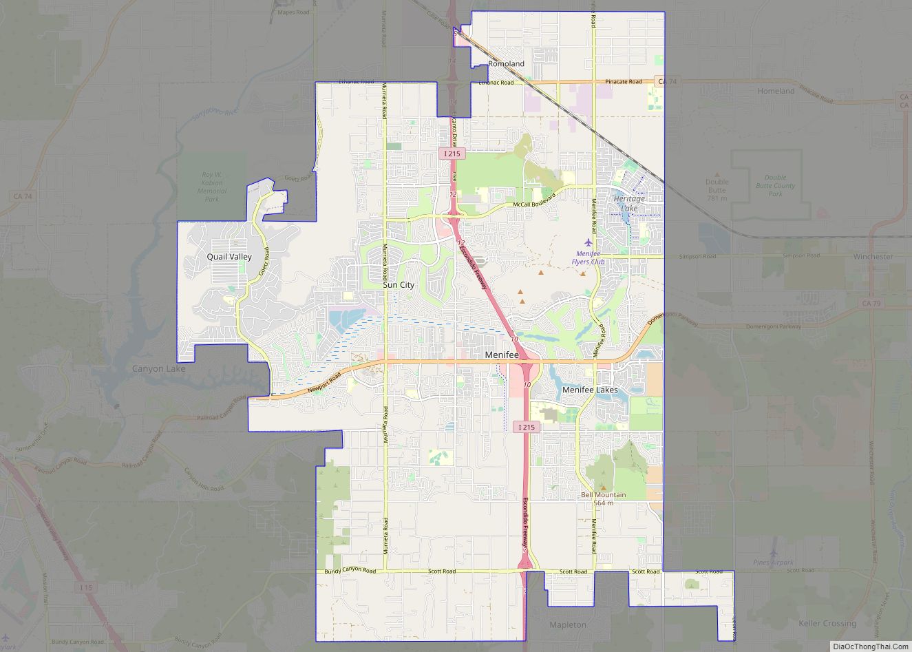
Menifee is a city in Riverside County, California, United States, and is part of the Inland Empire. Named after a local miner, Luther Menifee Wilson, it was settled in the 19th century, and established as an independent city in 2008. Since then, Menifee has become one of the fastest growing cities in California and the ... Read more
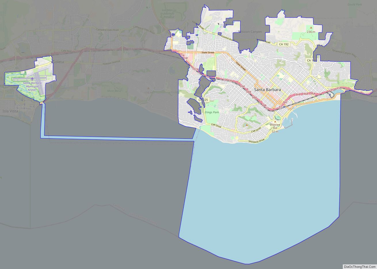
Santa Barbara (Spanish: Santa Bárbara, meaning ‘Saint Barbara’) is a coastal city in Santa Barbara County, California, of which it is also the county seat. Situated on a south-facing section of coastline, the longest such section on the West Coast of the United States, the city lies between the steeply rising Santa Ynez Mountains and ... Read more
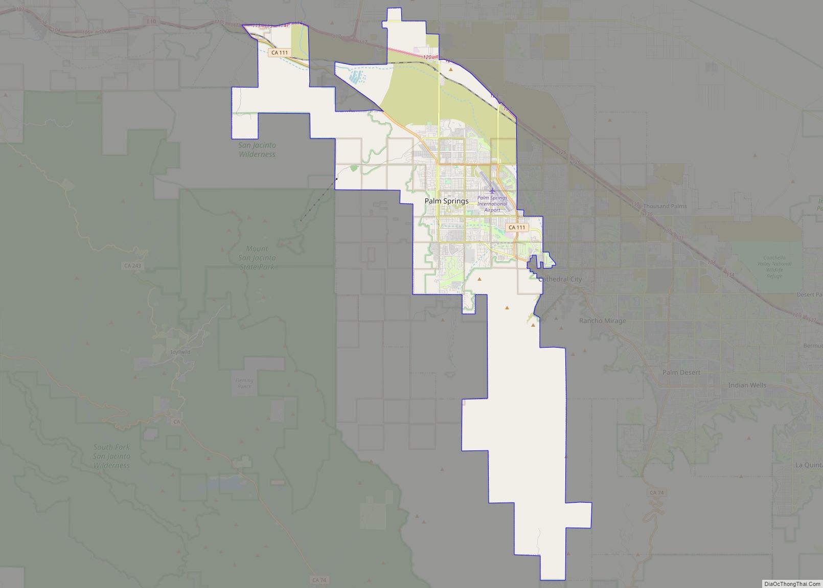
Palm Springs (Cahuilla: Séc-he) is a desert resort city in Riverside County, California, United States, within the Colorado Desert’s Coachella Valley. The city covers approximately 94 square miles (240 km), making it the largest city in Riverside County by land area. With multiple plots in checkerboard pattern, more than 10% of the city is part of ... Read more
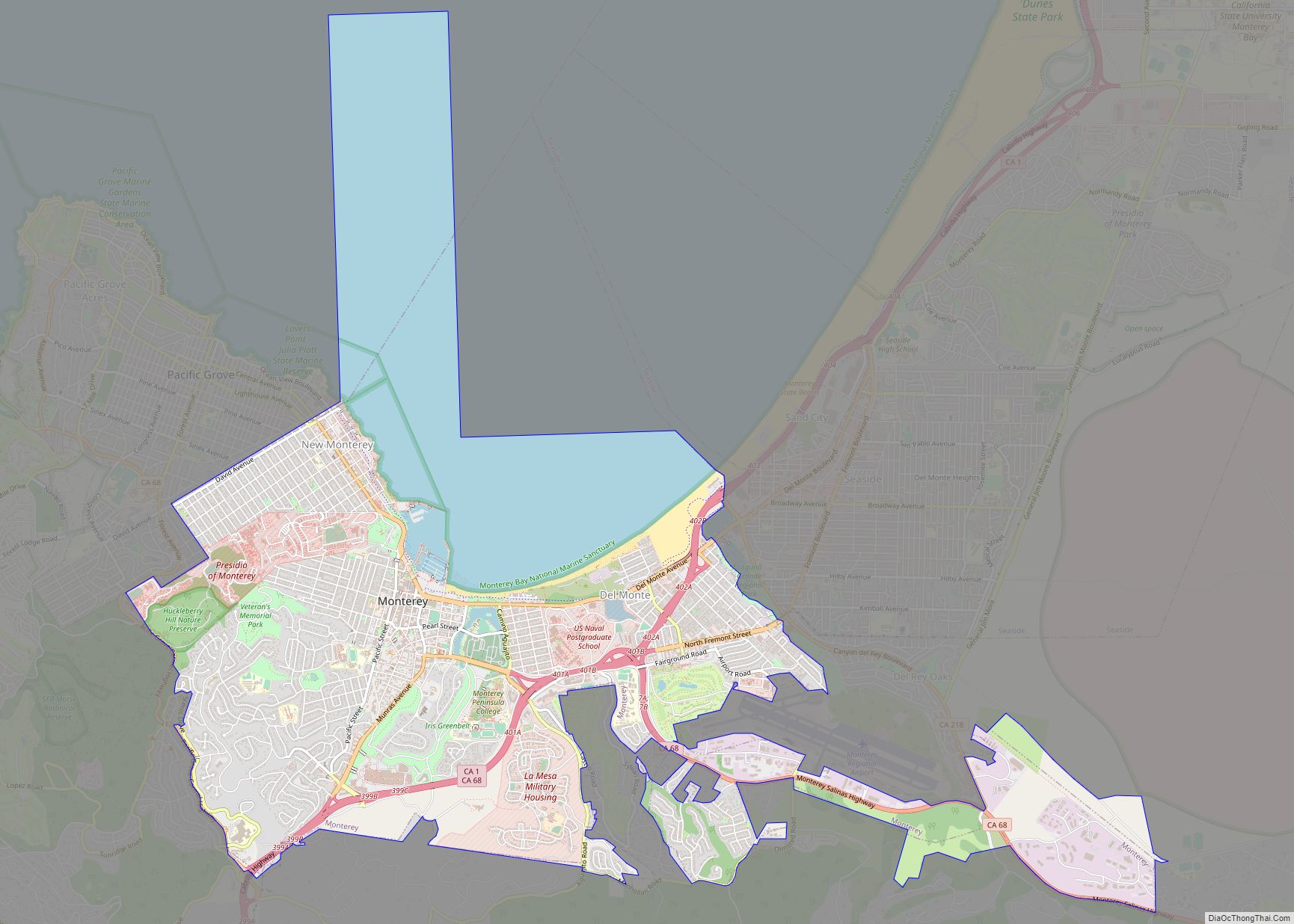
Monterey (/ˌmɑːntəˈreɪ/ (listen); Spanish: Monterrey) is a city located in Monterey County on the southern edge of Monterey Bay on the U.S. state of California‘s Central Coast. Founded on June 3, 1770, it functioned as the capital of Alta California under both Spain (1804–1821) and Mexico (1822–1846). During this period, Monterey hosted California’s first theater, ... Read more
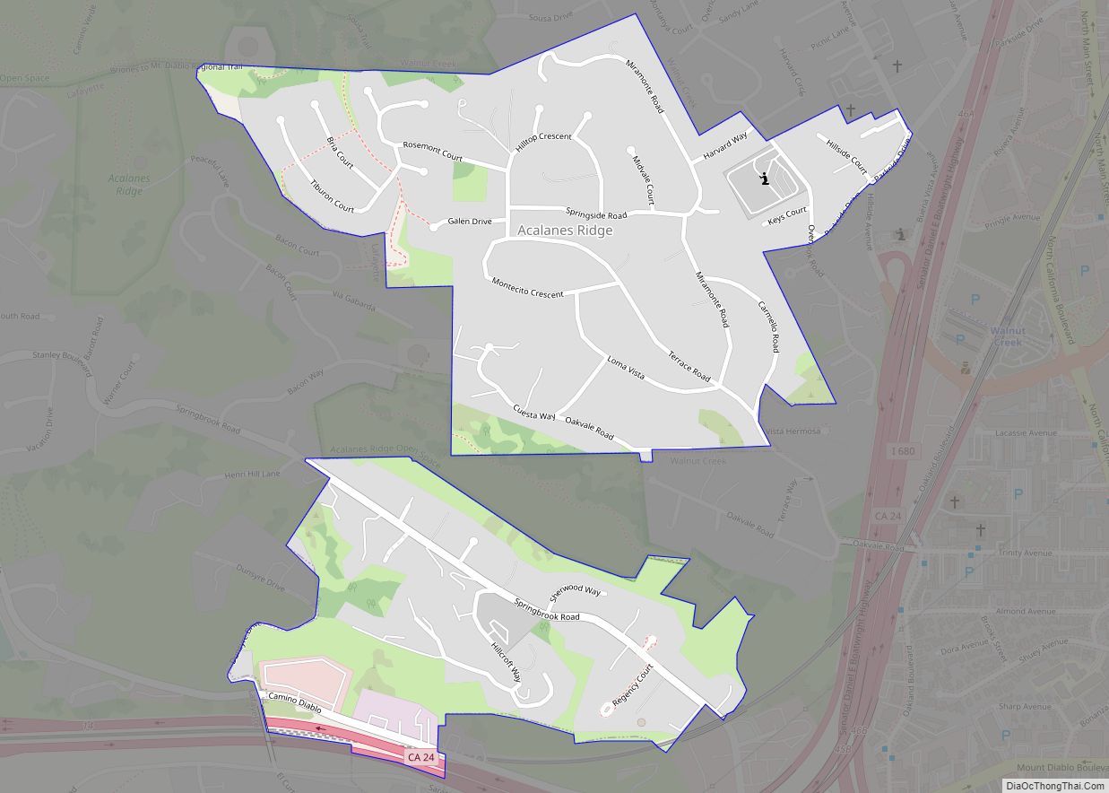
Acalanes Ridge is a census-designated place in Contra Costa County, California. Acalanes Ridge sits at an elevation of 499 feet (152 m). The population was 1,285 at the 2020 Census. Acalanes Ridge was created a census-designated place for the 2010 census, and comes alphabetically first among all census-designated places in California. Acalanes Ridge CDP overview: Name: ... Read more
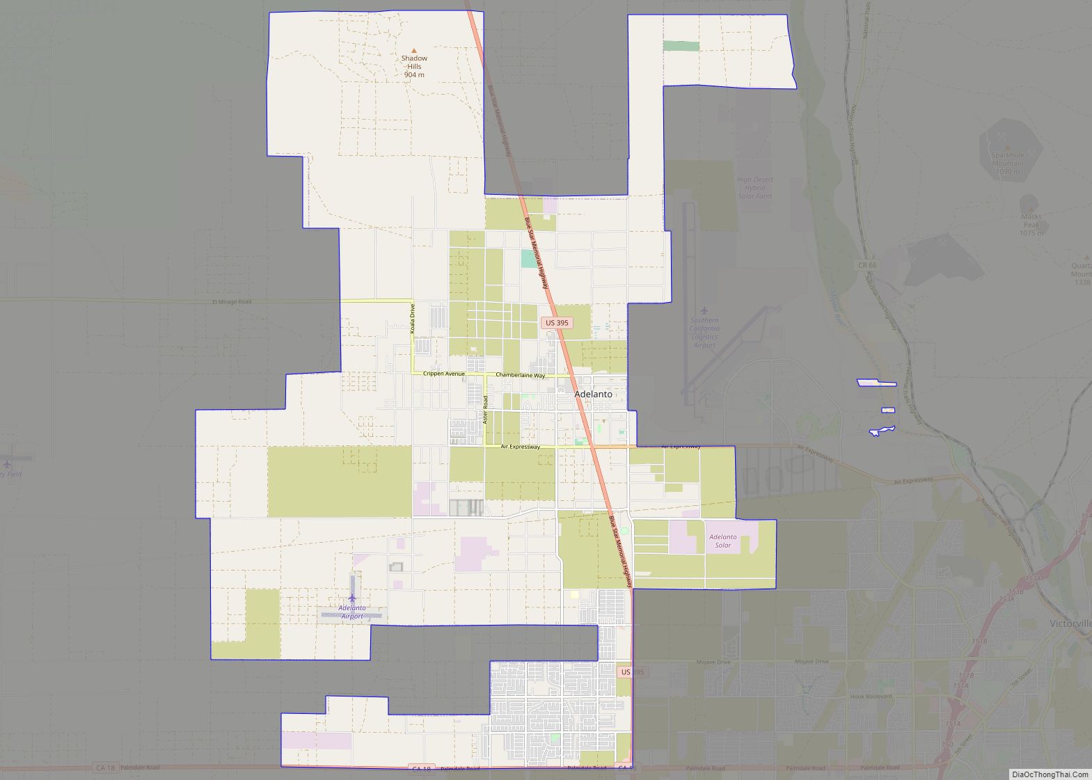
Adelanto (Spanish for “Advance”) is a city in San Bernardino County, California, United States. It is approximately 9 miles (14 km) northwest of Victorville in the Victor Valley area of the Mojave Desert, in the northern region of the Inland Empire. The population was 38,046 at the 2020 census. Adelanto city overview: Name: Adelanto city LSAD ... Read more
Acton (pronunciation) is an unincorporated census-designated place in Los Angeles County, California, near the Antelope Valley. According to the 2010 census, Acton had a population of 7,596. Acton is a small residential community located between the Sierra Pelona Mountains and the San Gabriel Mountains. It is off the Antelope Valley Freeway (Highway 14) south of ... Read more
