Monterey (/ˌmɑːntəˈreɪ/ (listen); Spanish: Monterrey) is a city located in Monterey County on the southern edge of Monterey Bay on the U.S. state of California‘s Central Coast. Founded on June 3, 1770, it functioned as the capital of Alta California under both Spain (1804–1821) and Mexico (1822–1846). During this period, Monterey hosted California’s first theater, public building, public library, publicly funded school, printing-press, and newspaper. It was originally the only port of entry for all taxable goods in California. In 1846, during the Mexican–American War of 1846–1848, the United States Flag was raised over the Customs House. After Mexico ceded California to the U.S. at the end of the war, Monterey hosted California’s first constitutional convention in 1849.
The city occupies a land area of 8.466 sq mi (21.93 km) and the city hall is at 26 feet (8 m) above sea level. The 2020 census recorded a population of 30,218.
Monterey and the surrounding area have attracted artists since the late 19th-century, and many celebrated painters and writers have lived in the area. Until the 1950s there was an abundant fishery. Monterey’s present-day attractions include the Monterey Bay Aquarium, Cannery Row, Fisherman’s Wharf, California Roots Music and Arts Festival, and the annual Monterey Jazz Festival.
| Name: | Monterey city |
|---|---|
| LSAD Code: | 25 |
| LSAD Description: | city (suffix) |
| State: | California |
| County: | Monterey County |
| Incorporated: | June 14, 1890 |
| Elevation: | 26 ft (8 m) |
| Total Area: | 12.27 sq mi (31.77 km²) |
| Land Area: | 8.65 sq mi (22.41 km²) |
| Water Area: | 3.62 sq mi (9.37 km²) 28.03% |
| Total Population: | 30,218 |
| Population Density: | 2,500/sq mi (950/km²) |
| ZIP code: | 93940–93944 |
| Area code: | 831 |
| FIPS code: | 0648872 |
| Website: | www.monterey.org |
Online Interactive Map
Click on ![]() to view map in "full screen" mode.
to view map in "full screen" mode.
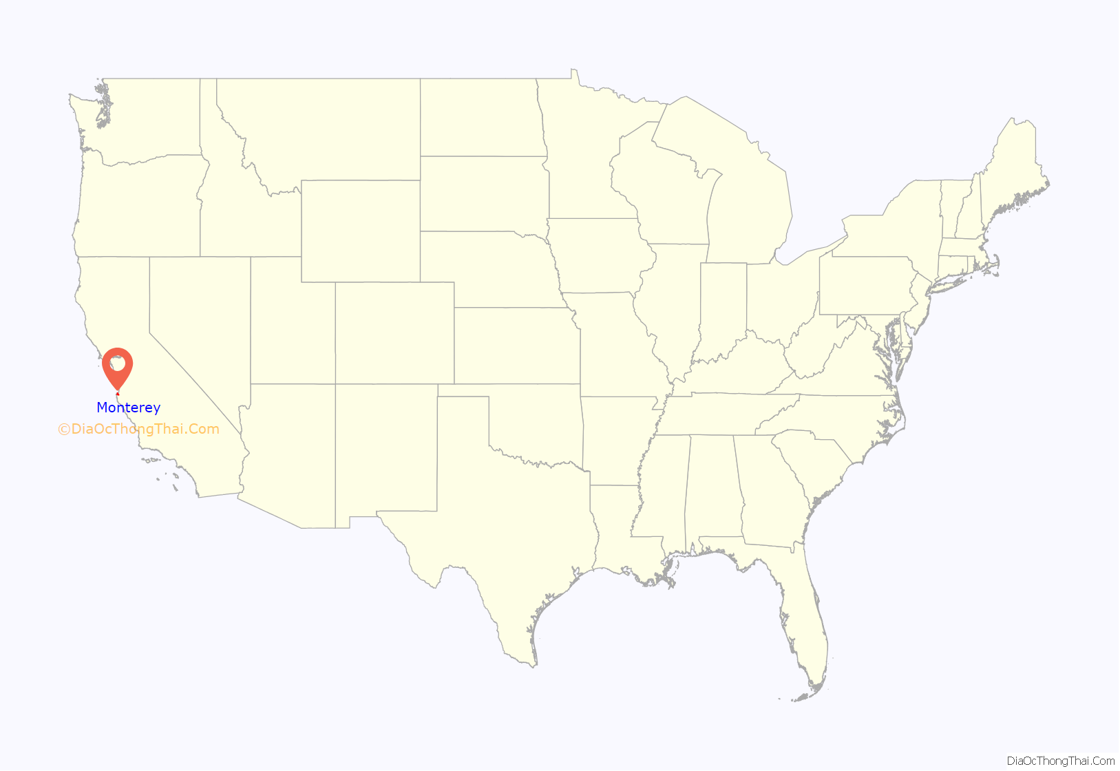
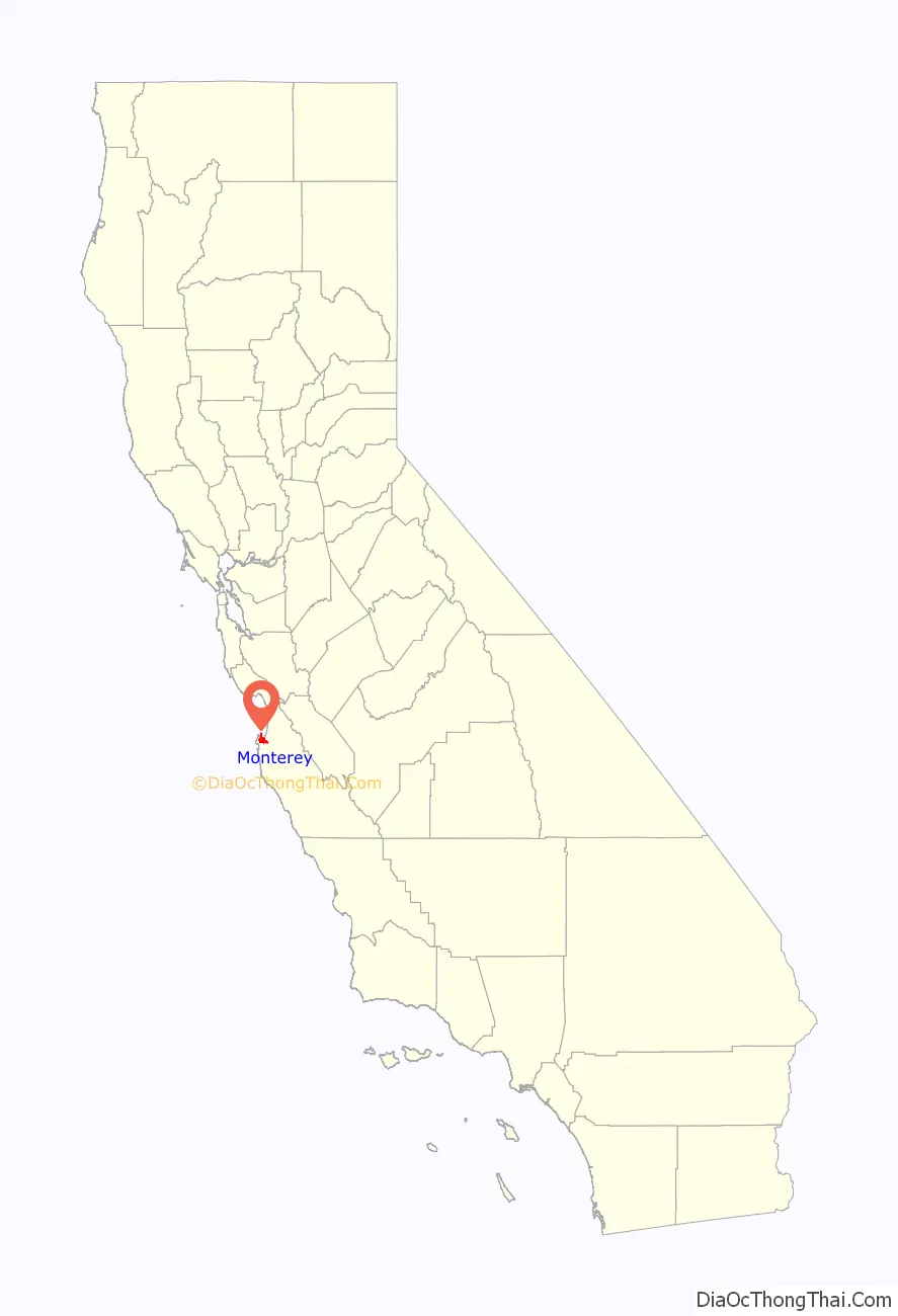
Monterey location map. Where is Monterey city?
History
Ohlone period
Long before the arrival of Spanish explorers, the Rumsen Ohlone tribe, one of seven linguistically distinct Ohlone groups in California, inhabited the area now known as Monterey. They subsisted by hunting, fishing and gathering food on and around the biologically rich Monterey Peninsula. Researchers have found a number of shell middens in the area and, based on the archaeological evidence, concluded the Ohlone’s primary marine food consisted at various times of mussels and abalone. A number of midden sites have been located along about 12 miles (19 km) of rocky coast on the Monterey Peninsula from the current site of Fishermans’ Wharf in Monterey to Carmel.
Spanish period
The city is named after Monterey Bay. The current bay’s name was given by Sebastián Vizcaíno in 1602. He anchored in what is now the Monterey harbor on December 16, and named it Puerto de Monterrey, in honor of the Conde de Monterrey, who was then the viceroy of New Spain. Monterrey is an alternate spelling of Monterrei, a municipality in the Galicia region of Spain from which the viceroy and his father (the Fourth Count of Monterrei) originated. Some variants of the city’s name are recorded as Monte Rey and Monterey. Monterey Bay had been described earlier by Juan Rodríguez Cabrillo, but he had given it a different name. Despite the explorations of Cabrillo and Vizcaino, and despite Spain’s frequent trading voyages between Asia and Mexico, the Spanish did not make Monterey Bay into a settled permanent harbor before the eighteenth century because it was too exposed to rough ocean currents and winds.
Despite Monterey’s limited use as a maritime port, the encroachments of other Europeans near California in the eighteenth century prompted the Spanish monarchy to try to better secure the region. As a result, it commissioned the Portola exploration and Alta California mission system. In 1769, the first European land exploration of Alta California, the Spanish Portolá expedition, traveled north from San Diego. They sought Vizcaíno’s Port of Monterey, which he had described as “a fine harbor sheltered from all winds” 167 years earlier. The explorers failed to recognize the place when they came to it on October 1, 1769. The party continued north as far as San Francisco Bay before turning back. On the return journey, they camped near one of Monterey’s lagoons on November 27, still not convinced they had found the place Vizcaíno had described. Franciscan missionary Juan Crespí noted in his diary, “We halted in sight of the Point of Pines (recognized, as was said, in the beginning of October) and camped near a small lagoon which has rather muddy water, but abounds in pasture and firewood.” Gaspar de Portolá returned by land to Monterey the next year, having concluded that he must have been at Vizcaíno’s Port of Monterey after all. The land party was met at Monterey by Junípero Serra, who traveled by sea. Portolá erected the Presidio of Monterey to defend the port and, on June 3, 1770, Serra founded the Cathedral of San Carlos Borromeo inside the presidio enclosure. Portolá returned to Mexico, replaced in Monterey by Captain Pedro Fages, who had been third in command on the exploratory expeditions. Fages became the second governor of Alta California, serving from 1770 to 1774. San Diego is the only city in California older than Monterey.
Serra’s missionary aims soon came into conflict with Fages and the soldiers, so he relocated and built a new mission in Carmel the following year to gain greater independence from Fages. The existing wood and adobe church remained in service to the nearby soldiers and became the Royal Presidio Chapel.
Monterey became the capital of the “Province of Both Californias” in 1777, and the chapel was renamed the Royal Presidio Chapel. The original church was destroyed by fire in 1789 and replaced by the present sandstone structure. It was completed in 1794 by Indian labor. In 1840, the chapel was rededicated to the patronage of Saint Charles Borromeo. The cathedral is the oldest continuously operating parish and the oldest stone building in California. It is also the oldest (and smallest) serving cathedral along with St. Louis Cathedral in New Orleans, Louisiana. It is the only existing presidio chapel in California and the only surviving building from the original Monterey Presidio.
The city was originally the only port of entry for all taxable goods in California. All shipments into California by sea were required to go through the Custom House, the oldest governmental building in the state and California’s Historic Landmark Number One. Built in three phases, the Spanish began construction of the Custom House in 1814, the Mexican government completed the center section in 1827, and the United States government finished the lower end in 1846.
On November 24, 1818, Argentine corsair Hippolyte Bouchard landed 7 km (4.3 mi) away from the Presidio of Monterey in a hidden creek. The fort’s resistance proved ineffective, and after an hour of combat the Argentine flag flew over it. The Argentines took the city for six days, during which time they stole the cattle and burned the fort, the artillery headquarters, the governor’s residence and the Spanish houses. The town’s residents were unharmed.
Mexican period
Mexico gained independence from Spain in 1821, but the civil and religious institutions of Alta California remained much the same until the 1830s, when the secularization of the missions converted most of the mission pasture lands into private land grant ranchos. In 1834, the San Carlos Cemetery was officially opened and interred many of the early local families.
Monterey was the site of the Battle of Monterey on July 7, 1846, during the Mexican–American War. It was on this date that John D. Sloat, Commodore in the United States Navy, raised the U.S. flag over the Monterey Custom House and claimed California for the United States.
In addition, many historic “firsts” occurred in Monterey. These include California’s first theater, brick house, publicly funded school, public building, public library, and printing press (which printed The Californian, California’s first newspaper.) Larkin House, one of Monterey State Historic Park’s National Historic Landmarks, built in the Mexican period by Thomas Oliver Larkin, is an early example of Monterey Colonial architecture. The Old Custom House, the historic district and the Royal Presidio Chapel are also National Historic Landmarks. The Cooper-Molera Adobe is a National Trust Historic Site.
American period
Colton Hall, built in 1849 by Walter Colton, originally served as both a public school and a government meeting place.
Monterey hosted California’s first constitutional convention in 1849, which composed the documents necessary to apply to the United States for statehood. Today it houses a small museum, while adjacent buildings serve as the seat of local government, and the Monterey post office (opened in 1849). Monterey was incorporated in 1890.
Thomas Albert Work built several of the buildings in Monterey including the three-story Del Mar hotel in 1895, at the corner of Sixteenth, and in 1900, bought into the First National Bank in Monterey, acquiring it in 1906. He was president of the bank for more than twenty years.
Monterey had long been famous for the abundant fishery in Monterey Bay. That changed in the 1950s when the local fishery business collapsed due to overfishing. A few of the old fishermen’s cabins from the early 20th century have been preserved as they originally stood along Cannery Row.
The city has a noteworthy history as a center for California painters in the late 19th and early 20th centuries. Such painters as Arthur Frank Mathews, Armin Hansen, Xavier Martinez, Rowena Meeks Abdy and Percy Gray lived or visited to pursue painting in the style of either En plein air or Tonalism.
In addition to painters, many noted authors have also lived in and around the Monterey area, including Robert Louis Stevenson, John Steinbeck, Ed Ricketts, Robinson Jeffers, Robert A. Heinlein, and Henry Miller.
More recently, Monterey has been recognized for its significant involvement in post-secondary learning of languages other than English and its major role in delivering translation and interpretation services around the world. In November 1995, California Governor Pete Wilson proclaimed Monterey as “the Language Capital of the World”.
On June 7, 2021, the new macOS Monterey operating system was presented at Apple’s Worldwide Developers Conference (WWDC2021) and named after the Monterey region.
Monterey Road Map


Monterey city Satellite Map

Geography
According to the United States Census Bureau, the city has a total area of 11.7 sq mi (30.4 km), of which 8.5 sq mi (21.9 km) is land and 3.3 sq mi (8.5 km) (28.05%) is water. Sand deposits in the northern coastal area comprise the sole known mineral resources. The city has several distinct districts, such as New Monterey, Del Monte, and Cannery Row.
Local soil is Quaternary Alluvium. Common soil series include the Baywood fine sand on the east side, Narlon loamy sand on the west side, Sheridan coarse sandy loam on hilly terrain, and the pale Tangair sand on hills supporting closed-cone pine habitat. The city is in a moderate to high seismic risk zone, the principal threat being the active San Andreas Fault approximately 26 miles (42 km) to the east. The Monterey Bay fault, which tracks three miles (4.8 km) to the north, is also active, as is the Palo Colorado fault seven miles (11 km) to the south. Also nearby, minor but potentially active, are the Berwick Canyon, Seaside, Tularcitos and Chupines faults.
Monterey Bay’s maximum credible tsunami for a 100-year interval has been calculated as a wave nine feet (2.7 m) high. The considerable undeveloped area in the northwest part of the city has a high potential for landslides and erosion.
The city is adjacent to the Monterey Bay National Marine Sanctuary, a federally protected ocean area extending 276 mi (444 km) along the coast. Sometimes this sanctuary is confused with the local bay which is also termed Monterey Bay.
Soquel Canyon State Marine Conservation Area, Portuguese Ledge State Marine Conservation Area, Pacific Grove Marine Gardens State Marine Conservation Area, Lovers Point State Marine Reserve, Edward F. Ricketts State Marine Conservation Area and Asilomar State Marine Reserve are marine protected areas established by the state of California in Monterey Bay. Like underwater parks, these marine protected areas help conserve ocean wildlife and marine ecosystems.
The California sea otter, a threatened subspecies, inhabits the local Monterey Bay marine environment, and a field station of The Marine Mammal Center is located in Monterey to support sea rescue operations in this section of the California coast. The rare San Joaquin kit fox is found in Monterey’s oak-forest and chaparral habitats. The chaparral, found mainly on the city’s drier eastern slopes, hosts such plants as manzanita, chamise and ceanothus. Additional species of interest (that is, potential candidates for endangered species status) are the Salinas kangaroo rat and the silver-sided legless lizard.
There is a variety of natural habitat in Monterey: littoral zone and sand dunes; closed-cone pine forest; and Monterey Cypress. There are no dairy farms in the city of Monterey; the semi-hard cheese known as Monterey Jack originated in nearby Carmel Valley, California, and is named after businessman and land speculator David Jacks.
The closed-cone pine habitat is dominated by Monterey pine, Knobcone pine and Bishop pine, and contains the rare Monterey manzanita. In the early 20th century the botanist Willis Linn Jepson characterized Monterey Peninsula’s forests as the “most important silva ever”, and encouraged Samuel F.B. Morse (a century younger than the inventor Samuel F. B. Morse) of the Del Monte Properties Company to explore the possibilities of preserving the unique forest communities. The dune area is no less important, as it hosts endangered species such as the vascular plants Seaside birds beak, Hickman’s potentilla and Eastwood’s Ericameria. Rare plants also inhabit the chaparral: Hickman’s onion, Yadon’s piperia (Piperia yadonii) and Sandmat manzanita. Other rare plants in Monterey include Hutchinson’s delphinium, Tidestrom lupine, Gardner’s yampah and Knotweed, the latter perhaps already extinct.
Monterey’s noise pollution has been mapped to define the principal sources of noise and to ascertain the areas of the population exposed to significant levels. Principal sources are the Monterey Regional Airport, State Route 1 and major arterial streets such as Munras Avenue, Fremont Street, Del Monte Boulevard, and Camino Aguajito. While most of Monterey is a quiet residential city, a moderate number of people in the northern part of the city are exposed to aircraft noise at levels in excess of 60 dB on the Community Noise Equivalent Level (CNEL) scale. The most intense source is State Route 1: all residents exposed to levels greater than 65 CNEL—about 1,600 people—live near State Route 1 or one of the principal arterial streets.
Climate
The climate of Monterey is regulated by its proximity to the Pacific Ocean resulting in a cool-summer Mediterranean climate (Köppen climate classification: Csb) and closely resembles that of an oceanic climate. The average high temperatures in the city range from 58.2 °F (14.6 °C) in December to 68.2 °F (20.1 °C) in September. Average annual precipitation is 17.11 inches (435 mm), with most rainfall occurring between October and April, with little to no precipitation falling during the summer months. There is an average of 72.1 days with measurable precipitation annually. Summers in Monterey are often cool and foggy. The cold surface waters cause even summer nights to be unusually cool for the latitude, opposite to on the U.S. east coast where coastal summer days and nights are much warmer. The extreme moderation is further underlined by the fact that Monterey is on a similar latitude in California as Death Valley – one of the hottest areas in the world.
During winter, snow occasionally falls in the higher elevations of the Santa Lucia Mountains and Gabilan Mountains that overlook Monterey, but snow in Monterey itself is extremely rare. A few unusual events in January 1962, February 1976, and December 1997 brought a light coating of snow to Monterey. In March 2006, a total of 3.2 inches (8.1 cm) fell in Monterey, including 2.2 inches (5.6 cm) on March 10, 2006. The snowfall on January 21, 1962, of 1.5 inches (3.8 cm), is remembered for delaying the Bing Crosby golf tournament in nearby Pebble Beach.
The record lowest temperature was 26 °F (−3.3 °C) on December 24, 1998 and January 13, 2007. Annually, there are an average of 1.3 days with highs that reach or exceed 90 °F (32 °C) and an average of 1.5 days with lows at or below the freezing mark.
The wettest year on record was 1998 with 434.81 inches (11,044 mm) of precipitation. The driest year was 2013 with 4.36 inches (111 mm). The most precipitation in one month was 13.73 inches (349 mm) in February 1998. The record maximum 24-hour precipitation was 3.55 inches (90 mm) on December 11, 2014.
See also
Map of California State and its subdivision:- Alameda
- Alpine
- Amador
- Butte
- Calaveras
- Colusa
- Contra Costa
- Del Norte
- El Dorado
- Fresno
- Glenn
- Humboldt
- Imperial
- Inyo
- Kern
- Kings
- Lake
- Lassen
- Los Angeles
- Madera
- Marin
- Mariposa
- Mendocino
- Merced
- Modoc
- Mono
- Monterey
- Napa
- Nevada
- Orange
- Placer
- Plumas
- Riverside
- Sacramento
- San Benito
- San Bernardino
- San Diego
- San Francisco
- San Joaquin
- San Luis Obispo
- San Mateo
- Santa Barbara
- Santa Clara
- Santa Cruz
- Shasta
- Sierra
- Siskiyou
- Solano
- Sonoma
- Stanislaus
- Sutter
- Tehama
- Trinity
- Tulare
- Tuolumne
- Ventura
- Yolo
- Yuba
- Alabama
- Alaska
- Arizona
- Arkansas
- California
- Colorado
- Connecticut
- Delaware
- District of Columbia
- Florida
- Georgia
- Hawaii
- Idaho
- Illinois
- Indiana
- Iowa
- Kansas
- Kentucky
- Louisiana
- Maine
- Maryland
- Massachusetts
- Michigan
- Minnesota
- Mississippi
- Missouri
- Montana
- Nebraska
- Nevada
- New Hampshire
- New Jersey
- New Mexico
- New York
- North Carolina
- North Dakota
- Ohio
- Oklahoma
- Oregon
- Pennsylvania
- Rhode Island
- South Carolina
- South Dakota
- Tennessee
- Texas
- Utah
- Vermont
- Virginia
- Washington
- West Virginia
- Wisconsin
- Wyoming


