Costa Mesa (/ˌkoʊstə ˈmeɪsə/; Spanish for “Mesa Coast”) is a city in Orange County, California, United States. Since its incorporation in 1953, the city has grown from a semi-rural farming community of 16,840 to an urban area including part of the South Coast Plaza–John Wayne Airport edge city, one of the region’s largest commercial clusters, with an economy based on retail, commerce, and light manufacturing. The city is home to the two tallest skyscrapers in Orange County. The population was 111,918 at the 2020 census.
| Name: | Costa Mesa city |
|---|---|
| LSAD Code: | 25 |
| LSAD Description: | city (suffix) |
| State: | California |
| County: | Orange County |
| Incorporated: | June 29, 1953 |
| Elevation: | 98 ft (30 m) |
| Total Area: | 15.81 sq mi (40.96 km²) |
| Land Area: | 15.81 sq mi (40.94 km²) |
| Water Area: | 0.01 sq mi (0.02 km²) 0.29% |
| Total Population: | 111,918 |
| Population Density: | 7,080.73/sq mi (2,733.85/km²) |
| Area code: | 714/657/949 |
| FIPS code: | 0616532 |
| Website: | www.costamesaca.gov |
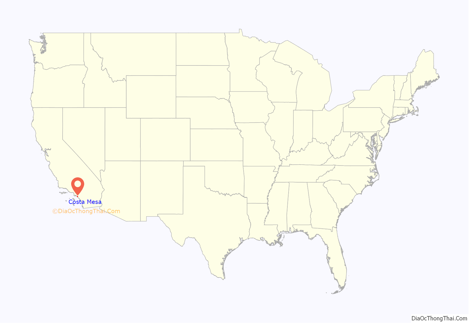
Online Interactive Map
Click on ![]() to view map in "full screen" mode.
to view map in "full screen" mode.
Costa Mesa location map. Where is Costa Mesa city?

History
Members of the Tongva and Acjachemen nations long inhabited the area. The Tongva villages of Lupukngna, at least 3,000 years old, and the shared Tongva and Acjachemen village of Genga, at least 9,500 years old, were located in the area on the bluffs along the Santa Ana River.
After the 1769 expedition of Gaspar de Portolà, a Spanish expedition led by Junípero Serra named the area Vallejo de Santa Ana (Valley of Saint Anne). On November 1, 1776, Mission San Juan Capistrano became the area’s first permanent European settlement in Alta California, New Spain.
In 1801, the Spanish Empire granted 62,500 acres (253 km) to Jose Antonio Yorba, which he named Rancho San Antonio. Yorba’s great rancho included the lands where the communities of Olive, Orange, Villa Park, Santa Ana, Tustin, Costa Mesa and Newport Beach stand today.
After the Mexican-American war, California became part of the United States, and American settlers arrived in this area and formed the town of Fairview in the 1880s near the modern intersection of Harbor Boulevard and Adams Avenue. However, a flood in 1889 wiped out the railroad serving the community, and it shriveled.
To the south, meanwhile, the community of Harper had arisen on a siding of the Santa Ana and Newport Railway, named after a local rancher. This town prospered on its agricultural goods. On May 11, 1920, Harper changed its name to Costa Mesa, which means “mountain coast” in Spanish. This is a reference to the city’s geography as being a plateau by the coast. Fanny Bixby Spencer and her husband sponsored the contest which selected the city’s new name.
Costa Mesa surged in population during and after World War II, as many thousands trained at Santa Ana Army Air Base and returned after the war with their families. Within three decades of incorporation, the city’s population had nearly quintupled.
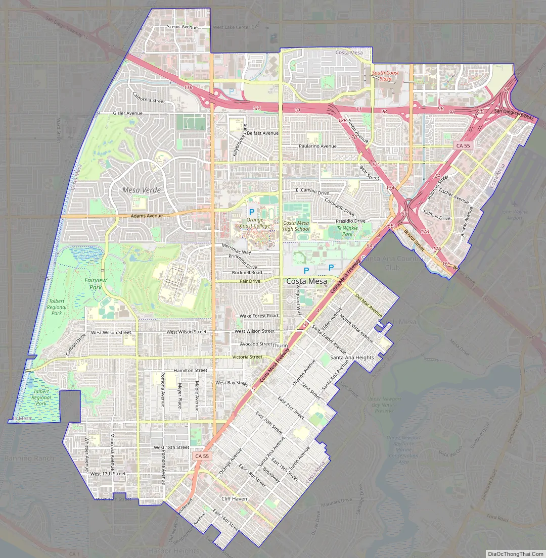
Costa Mesa Road Map
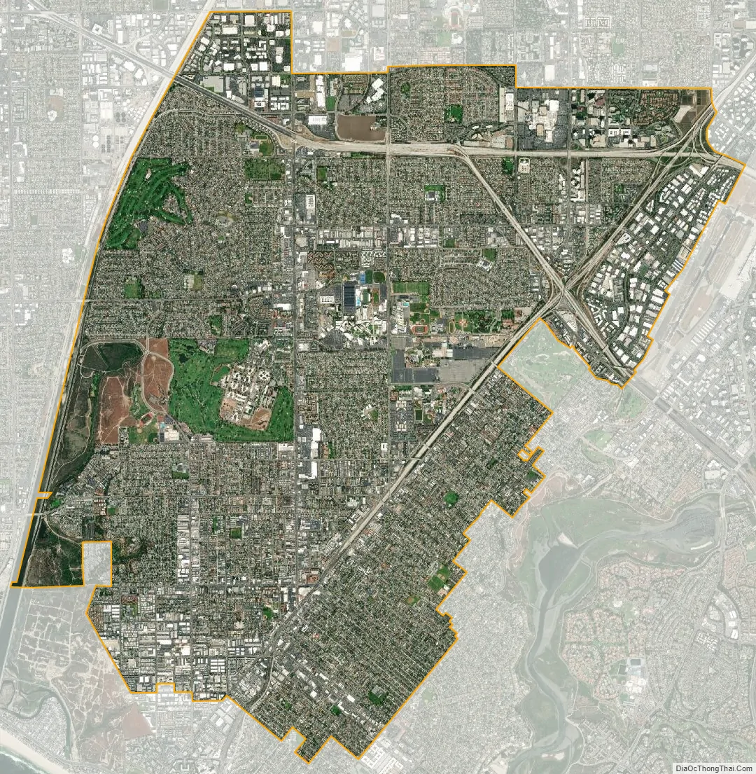
Costa Mesa city Satellite Map
Geography
Costa Mesa is located 37 miles (60 km) southeast of Los Angeles, 87 miles (140 km) northwest of San Diego and 425 miles (684 km) southeast of San Francisco. Costa Mesa encompasses a total of 16 square miles (41 km) with its southernmost border only 1 mile (1.6 km) from the Pacific Ocean. According to the United States Census Bureau, the city has a total area of 15.7 square miles (41 km). 15.7 square miles (41 km) of it is land and 0.05 square miles (0.13 km) of it (0.29%) is water.
Climate
Costa Mesa has a semi-arid climate (Köppen climate classification BSh) with mild temperatures year round. Rain falls primarily in the winter months and is close to nonexistent during the summer. Morning low clouds and fog are common due to its coastal location.
See also
Map of California State and its subdivision:- Alameda
- Alpine
- Amador
- Butte
- Calaveras
- Colusa
- Contra Costa
- Del Norte
- El Dorado
- Fresno
- Glenn
- Humboldt
- Imperial
- Inyo
- Kern
- Kings
- Lake
- Lassen
- Los Angeles
- Madera
- Marin
- Mariposa
- Mendocino
- Merced
- Modoc
- Mono
- Monterey
- Napa
- Nevada
- Orange
- Placer
- Plumas
- Riverside
- Sacramento
- San Benito
- San Bernardino
- San Diego
- San Francisco
- San Joaquin
- San Luis Obispo
- San Mateo
- Santa Barbara
- Santa Clara
- Santa Cruz
- Shasta
- Sierra
- Siskiyou
- Solano
- Sonoma
- Stanislaus
- Sutter
- Tehama
- Trinity
- Tulare
- Tuolumne
- Ventura
- Yolo
- Yuba
- Alabama
- Alaska
- Arizona
- Arkansas
- California
- Colorado
- Connecticut
- Delaware
- District of Columbia
- Florida
- Georgia
- Hawaii
- Idaho
- Illinois
- Indiana
- Iowa
- Kansas
- Kentucky
- Louisiana
- Maine
- Maryland
- Massachusetts
- Michigan
- Minnesota
- Mississippi
- Missouri
- Montana
- Nebraska
- Nevada
- New Hampshire
- New Jersey
- New Mexico
- New York
- North Carolina
- North Dakota
- Ohio
- Oklahoma
- Oregon
- Pennsylvania
- Rhode Island
- South Carolina
- South Dakota
- Tennessee
- Texas
- Utah
- Vermont
- Virginia
- Washington
- West Virginia
- Wisconsin
- Wyoming


