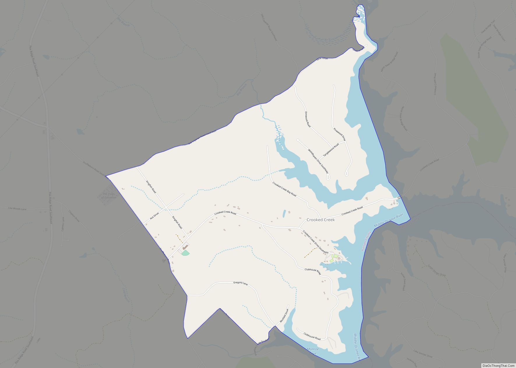
Crooked Creek is a census-designated place in Putnam County, Georgia, United States. Its population was 685 as of the 2020 census. The community is located on the western bank of the Oconee River. Crooked Creek CDP overview: Name: Crooked Creek CDP LSAD Code: 57 LSAD Description: CDP (suffix) State: Georgia County: Putnam County Elevation: 420 ft ... Read more
Georgia Cities and Places
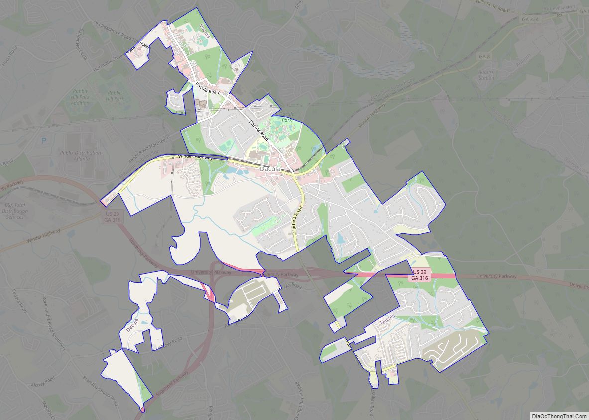
Dacula (/dəˈkjuːlə/ də-KEW-lə) is a city in Gwinnett County, Georgia, United States. It is an exurb of Atlanta, located approximately 37 miles (60 km) northeast of downtown. The population as of the 2010 census was 4,442, and the U.S. Census Bureau estimated the population to be 6,255 as of 2018. Dacula city overview: Name: Dacula city ... Read more
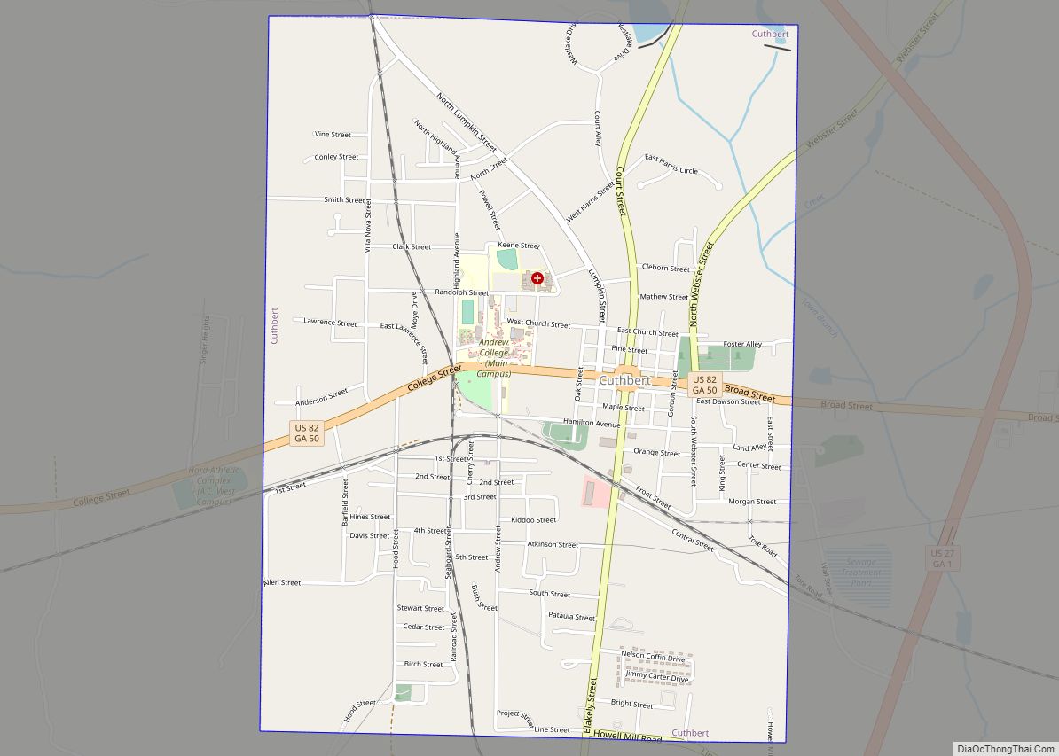
Cuthbert is a city in, and the county seat of, Randolph County, Georgia, United States. The population was 3,520 in 2019. Cuthbert city overview: Name: Cuthbert city LSAD Code: 25 LSAD Description: city (suffix) State: Georgia County: Randolph County Elevation: 466 ft (142 m) Total Area: 3.06 sq mi (7.92 km²) Land Area: 3.05 sq mi (7.89 km²) Water Area: 0.01 sq mi (0.04 km²) Total ... Read more
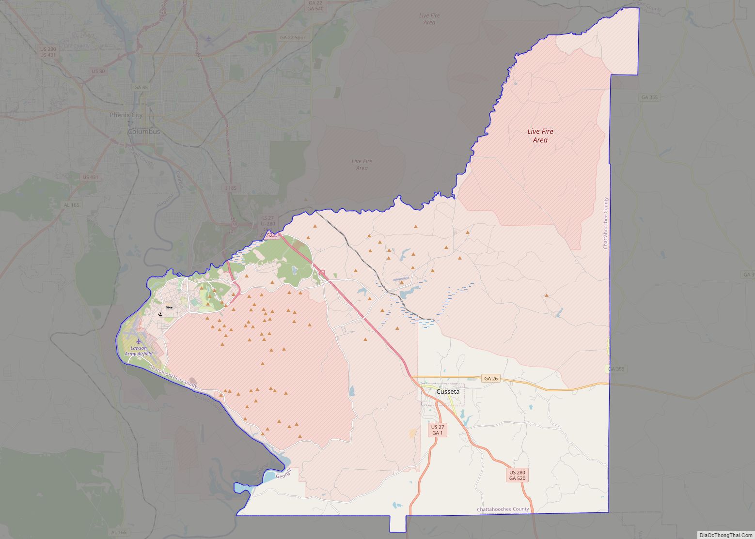
Cusseta-Chattahoochee County unified government overview: Name: Cusseta-Chattahoochee County unified government LSAD Code: UG LSAD Description: unified government (suffix) State: Georgia County: Chattahoochee County FIPS code: 1321017 Online Interactive Map Cusseta-Chattahoochee County online map. Source: Basemap layers from Google Map, Open Street Map (OSM), Arcgisonline, Wmflabs. Boundary Data from Database of Global Administrative Areas. Cusseta-Chattahoochee County ... Read more
Dallas is a city in, and the county seat of, Paulding County, Georgia, United States. The estimated population, as of 2010, was 11,544. Dallas is a northwestern exurb of Atlanta, located approximately 38 miles (61 km) from the downtown area. It was named for George M. Dallas, Vice President of the United States, under James K. ... Read more
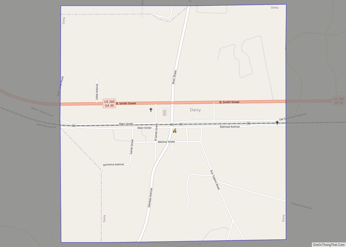
Daisy is a city in Evans County, Georgia, United States. The population was 129 at the 2010 census. Daisy city overview: Name: Daisy city LSAD Code: 25 LSAD Description: city (suffix) State: Georgia County: Evans County Elevation: 151 ft (46 m) Total Area: 1.02 sq mi (2.64 km²) Land Area: 0.96 sq mi (2.49 km²) Water Area: 0.06 sq mi (0.14 km²) Total Population: 159 Population ... Read more
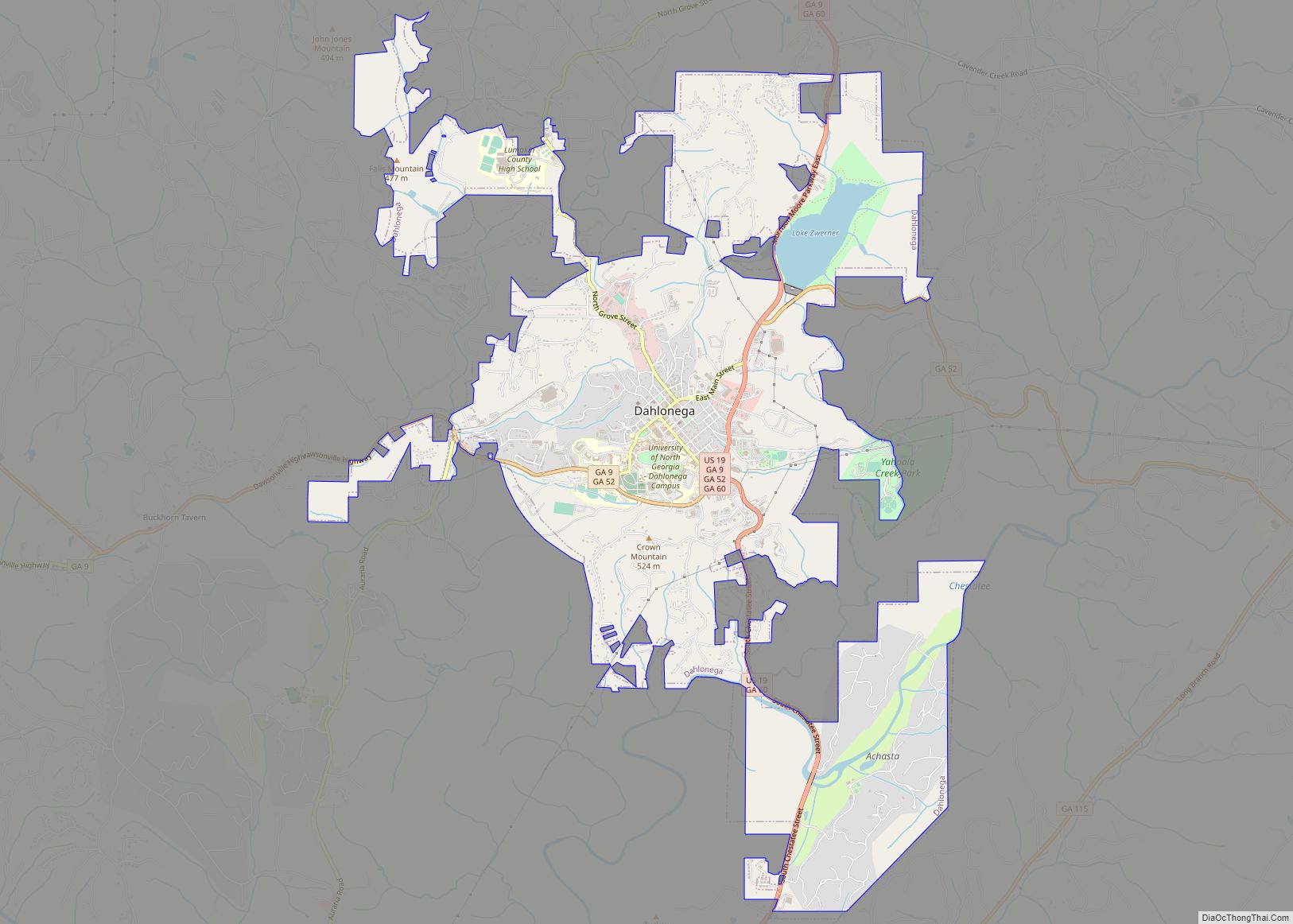
Dahlonega (/dəˈlɒnɪɡə/ də-LON-ig-ə) is the county seat of Lumpkin County, Georgia, United States. As of the 2010 census, the city had a population of 5,242, and in 2018 the population was estimated to be 6,884. Dahlonega is located at the north end of Georgia highway 400, a freeway which connects Dahlonega to Atlanta. Dahlonega was ... Read more
Dalton is a city and the county seat of Whitfield County, Georgia, United States. It is also the principal city of the Dalton Metropolitan Statistical Area, which encompasses all of Murray and Whitfield counties. As of the 2010 census, the city had a population of 33,128 people, with the total metropolitan area having a population ... Read more
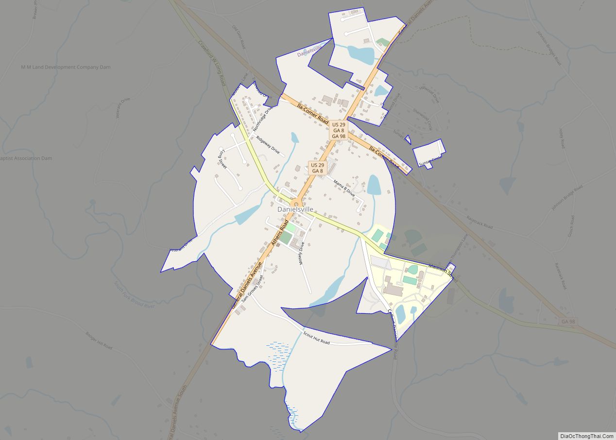
Danielsville is a city in Madison County, Georgia, United States. The population was 654 at the 2020 census, up from 560 in 2010. The city is the county seat of Madison County. Danielsville city overview: Name: Danielsville city LSAD Code: 25 LSAD Description: city (suffix) State: Georgia County: Madison County Elevation: 728 ft (222 m) Total Area: ... Read more
Damascus is a city in Early County, Georgia, United States. The population was 254 at the 2010 census. Damascus city overview: Name: Damascus city LSAD Code: 25 LSAD Description: city (suffix) State: Georgia County: Early County Elevation: 220 ft (67 m) Total Area: 1.77 sq mi (4.58 km²) Land Area: 1.76 sq mi (4.56 km²) Water Area: 0.01 sq mi (0.02 km²) Total Population: 212 Population ... Read more
Dasher is a town in Lowndes County, Georgia, United States. The population was 912 at the 2010 census, up from 834 at the 2000 census. Dasher town overview: Name: Dasher town LSAD Code: 43 LSAD Description: town (suffix) State: Georgia County: Lowndes County Incorporated: 1968 Elevation: 180 ft (55 m) Total Area: 4.96 sq mi (12.85 km²) Land Area: 4.60 sq mi ... Read more
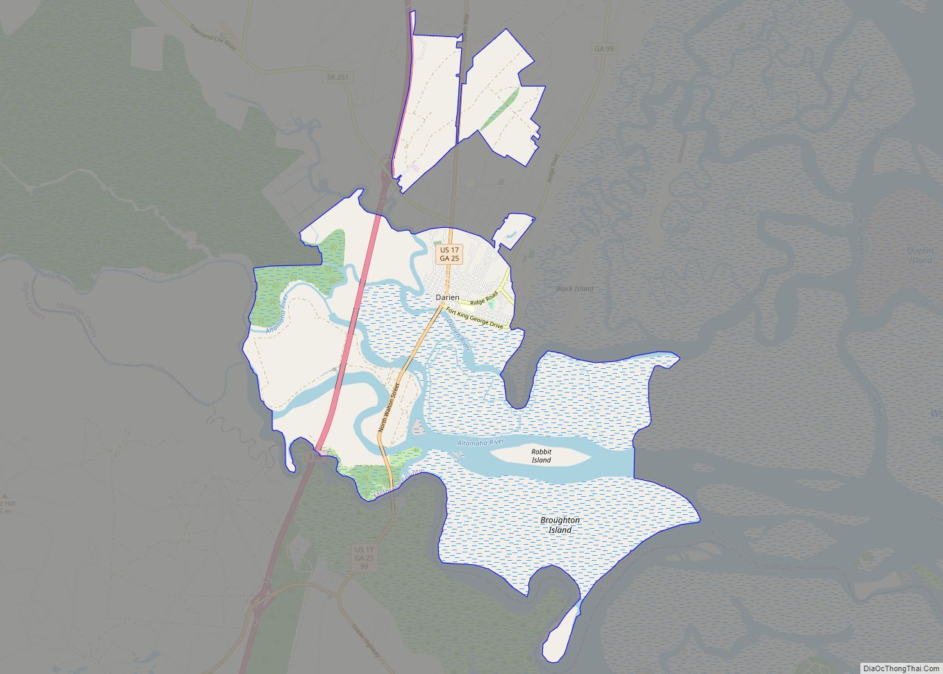
Darien (/dɛəriˈɛn/) is a city in and the county seat of McIntosh County, Georgia, United States. It lies on Georgia’s coast at the mouth of the Altamaha River, approximately 50 miles (80 kilometers) south of Savannah, and is part of the Brunswick, Georgia Metropolitan Statistical Area. It is the second oldest planned city in Georgia ... Read more
