Dahlonega (/dəˈlɒnɪɡə/ də-LON-ig-ə) is the county seat of Lumpkin County, Georgia, United States. As of the 2010 census, the city had a population of 5,242, and in 2018 the population was estimated to be 6,884.
Dahlonega is located at the north end of Georgia highway 400, a freeway which connects Dahlonega to Atlanta. Dahlonega was named as one of the best places to retire by the publication Real Estate Scorecard.
Dahlonega was the site of the first major Gold Rush in the United States beginning in 1829. The Dahlonega Gold Museum Historic Site which is located in the middle of the public square, was originally built in 1836 as the Lumpkin County Courthouse. In 1849, when local gold miners were considering heading west to join the California Gold Rush, Dr. Matthew Fleming Stephenson, the assayer at the Dahlonega Branch Mint, tried to persuade miners to stay in Dahlonega. Standing on the courthouse balcony and pointing at the distant Findley Ridge, Dr. Stephenson was recalled in his speech as saying: “Why go to California? In yonder hill lies more riches than anyone ever dreamed of. There’s millions in it,” This phrase was repeated by those miners who did make the journey to California and was shared in the mining camps of the west. Years later, the young Samuel Clemens, better known as the author Mark Twain, also heard of Stephenson’s phrase. Twain was so enthralled by the phrase “There’s Millions In It,” that he used it frequently in his book The Gilded Age. Over time, the phrase has been misquoted to the more well known “Thar’s gold in them thar hills.”
| Name: | Dahlonega city |
|---|---|
| LSAD Code: | 25 |
| LSAD Description: | city (suffix) |
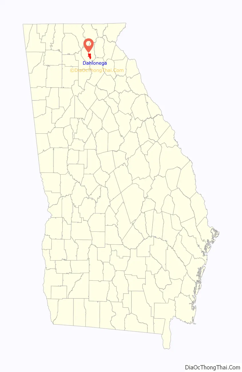
| State: | Georgia |
| County: | Lumpkin County |
| Elevation: | 1,450 ft (442 m) |
| Total Area: | 8.87 sq mi (22.97 km²) |
| Land Area: | 8.82 sq mi (22.84 km²) |
| Water Area: | 0.05 sq mi (0.14 km²) |
| Total Population: | 7,537 |
| Population Density: | 854.83/sq mi (330.06/km²) |
| ZIP code: | 30533, 30597 |
| Area code: | 706 |
| FIPS code: | 1321240 |
| GNISfeature ID: | 0355420 |
| Website: | dahlonega-ga.gov |
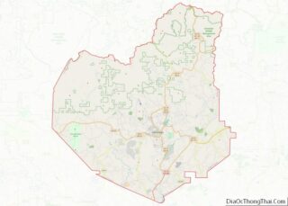
Online Interactive Map
Click on ![]() to view map in "full screen" mode.
to view map in "full screen" mode.
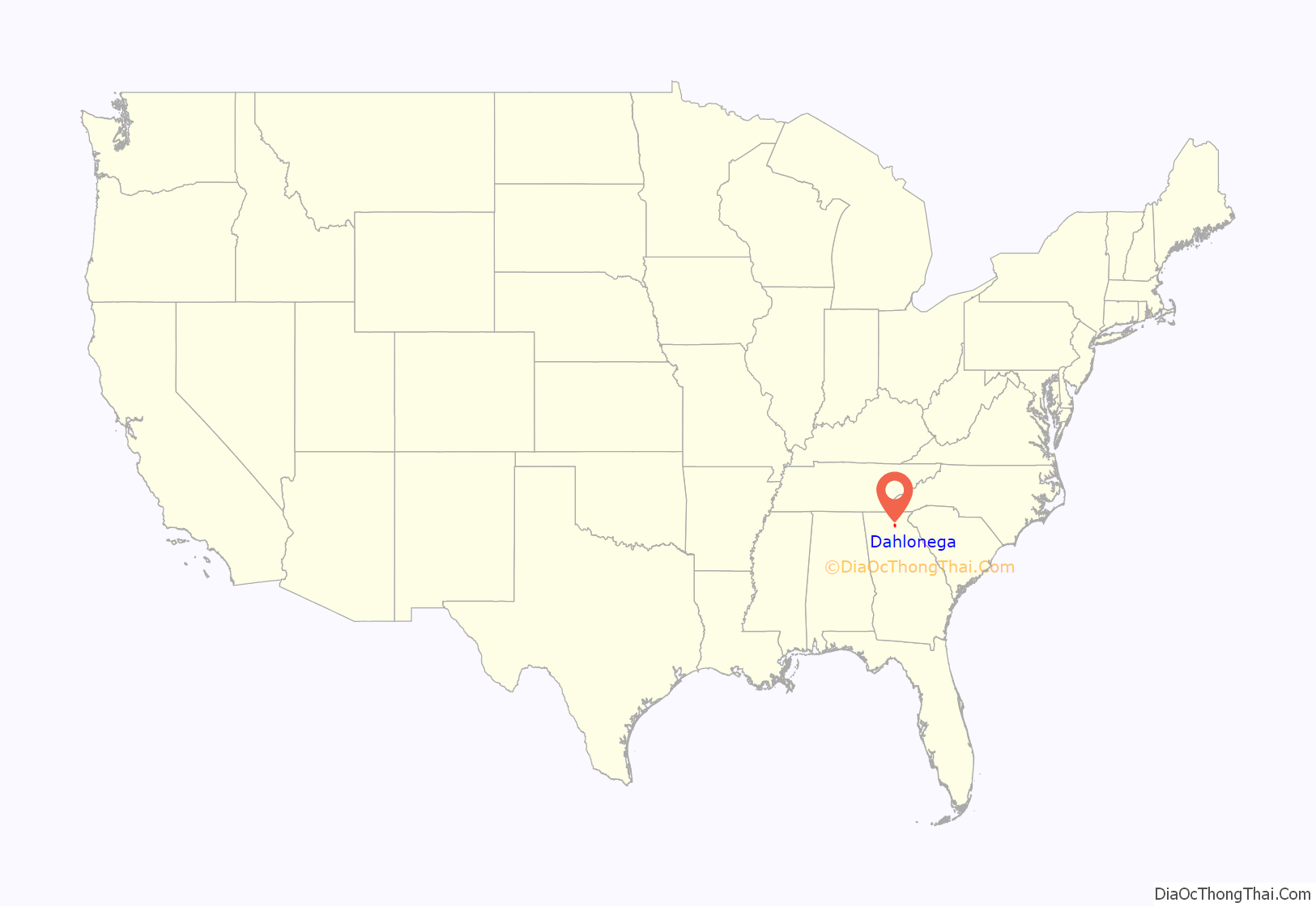
Dahlonega location map. Where is Dahlonega city?
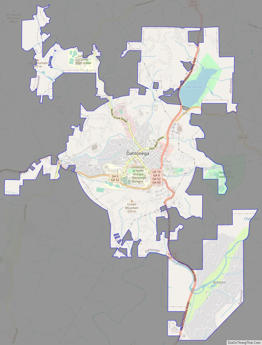
Dahlonega Road Map
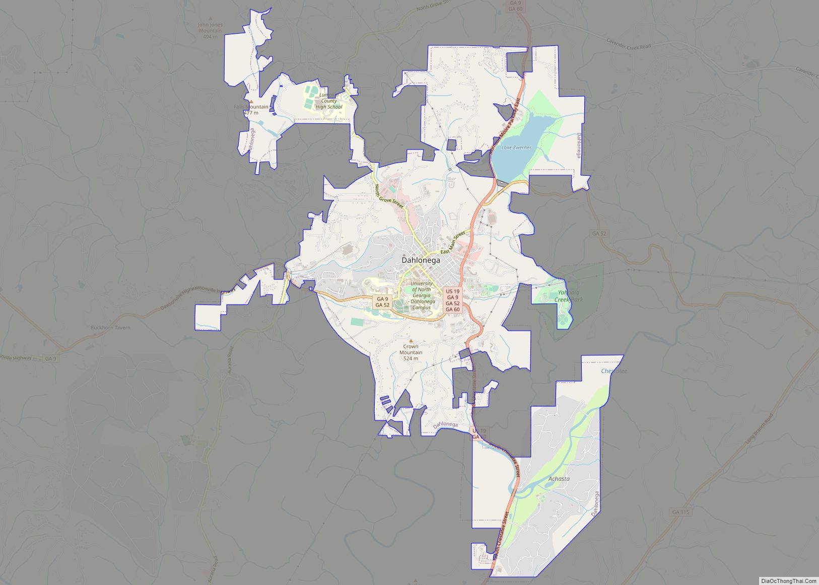
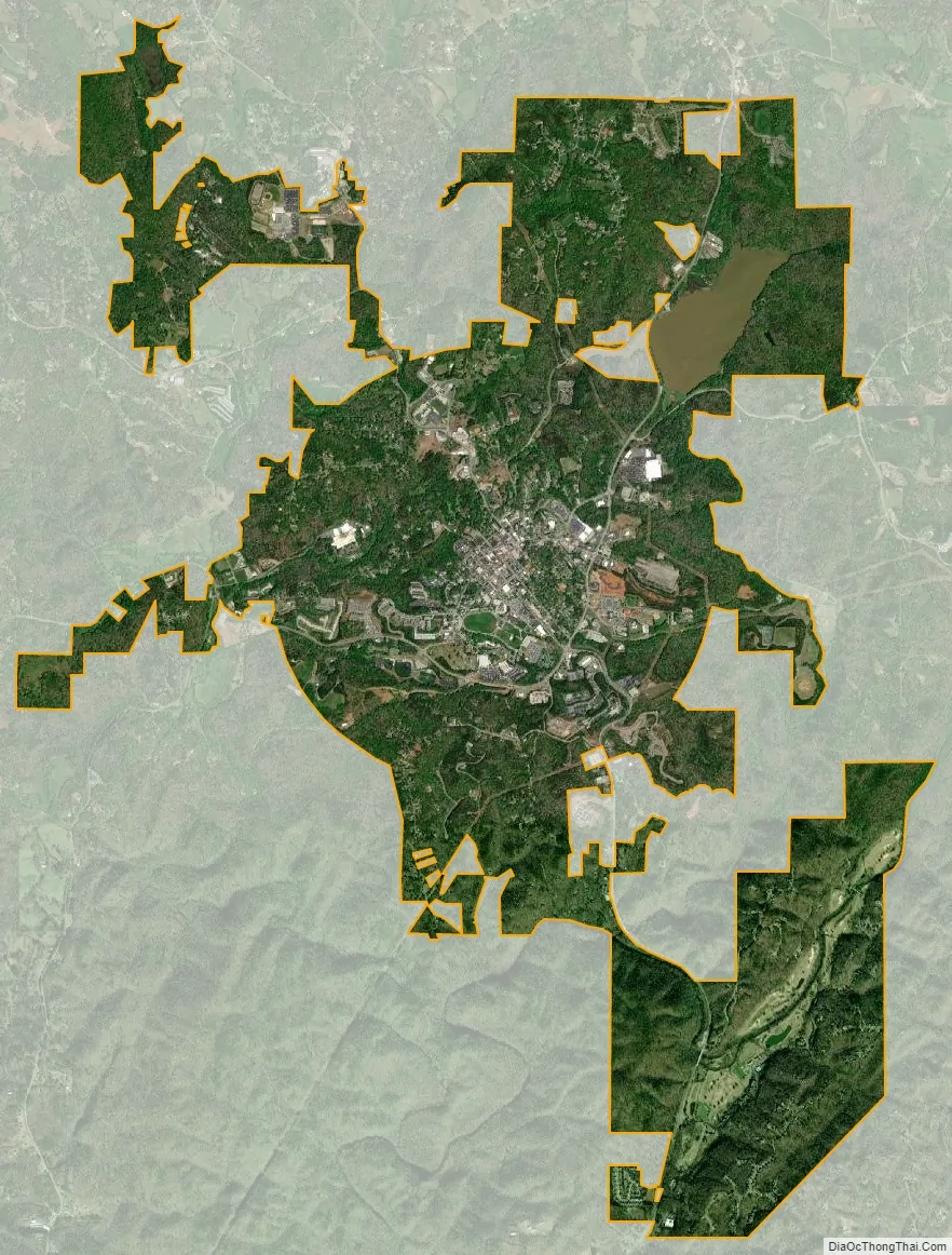
Dahlonega city Satellite Map
Geography
Dahlonega is located in central Lumpkin County at 34°31′57″N 83°59′06″W / 34.53250°N 83.98500°W / 34.53250; -83.98500 (34.5325, −83.9850). U.S. Route 19 passes through the east side of the city, leading north 34 mi (55 km) to Blairsville and south 65 mi (105 km) to Atlanta. Georgia State Route 400, a freeway which runs concurrently with US-19 to Atlanta, has its northern terminus 5 mi (8 km) south of the center of Dahlonega. State Routes 9 and 52 run concurrently around the south side of Dahlonega, joining US 19 on the southeast side. State Route 9 leads southwest 14 mi (23 km) to Dawsonville, while State Route 52 leads west 18 mi (29 km) to Amicalola Falls State Park. To the east State Route 52 leads 16 mi (26 km) to Clermont.
According to the United States Census Bureau, the city has a total area of 8.8 sq mi (22.9 km), of which 0.05 sq mi (0.14 km), or 0.60%, are water. The city is centered on a low ridge, with the west side draining to Cane Creek and the east side to Yahoola Creek. Both creeks flow south to the Chestatee River, part of the Chattahoochee River watershed. 1,720 ft (520 m) Crown Mountain is in the southern part of the city.
See also
Map of Georgia State and its subdivision:- Appling
- Atkinson
- Bacon
- Baker
- Baldwin
- Banks
- Barrow
- Bartow
- Ben Hill
- Berrien
- Bibb
- Bleckley
- Brantley
- Brooks
- Bryan
- Bulloch
- Burke
- Butts
- Calhoun
- Camden
- Candler
- Carroll
- Catoosa
- Charlton
- Chatham
- Chattahoochee
- Chattooga
- Cherokee
- Clarke
- Clay
- Clayton
- Clinch
- Cobb
- Coffee
- Colquitt
- Columbia
- Cook
- Coweta
- Crawford
- Crisp
- Dade
- Dawson
- Decatur
- DeKalb
- Dodge
- Dooly
- Dougherty
- Douglas
- Early
- Echols
- Effingham
- Elbert
- Emanuel
- Evans
- Fannin
- Fayette
- Floyd
- Forsyth
- Franklin
- Fulton
- Gilmer
- Glascock
- Glynn
- Gordon
- Grady
- Greene
- Gwinnett
- Habersham
- Hall
- Hancock
- Haralson
- Harris
- Hart
- Heard
- Henry
- Houston
- Irwin
- Jackson
- Jasper
- Jeff Davis
- Jefferson
- Jenkins
- Johnson
- Jones
- Lamar
- Lanier
- Laurens
- Lee
- Liberty
- Lincoln
- Long
- Lowndes
- Lumpkin
- Macon
- Madison
- Marion
- McDuffie
- McIntosh
- Meriwether
- Miller
- Mitchell
- Monroe
- Montgomery
- Morgan
- Murray
- Muscogee
- Newton
- Oconee
- Oglethorpe
- Paulding
- Peach
- Pickens
- Pierce
- Pike
- Polk
- Pulaski
- Putnam
- Quitman
- Rabun
- Randolph
- Richmond
- Rockdale
- Schley
- Screven
- Seminole
- Spalding
- Stephens
- Stewart
- Sumter
- Talbot
- Taliaferro
- Tattnall
- Taylor
- Telfair
- Terrell
- Thomas
- Tift
- Toombs
- Towns
- Treutlen
- Troup
- Turner
- Twiggs
- Union
- Upson
- Walker
- Walton
- Ware
- Warren
- Washington
- Wayne
- Webster
- Wheeler
- White
- Whitfield
- Wilcox
- Wilkes
- Wilkinson
- Worth
- Alabama
- Alaska
- Arizona
- Arkansas
- California
- Colorado
- Connecticut
- Delaware
- District of Columbia
- Florida
- Georgia
- Hawaii
- Idaho
- Illinois
- Indiana
- Iowa
- Kansas
- Kentucky
- Louisiana
- Maine
- Maryland
- Massachusetts
- Michigan
- Minnesota
- Mississippi
- Missouri
- Montana
- Nebraska
- Nevada
- New Hampshire
- New Jersey
- New Mexico
- New York
- North Carolina
- North Dakota
- Ohio
- Oklahoma
- Oregon
- Pennsylvania
- Rhode Island
- South Carolina
- South Dakota
- Tennessee
- Texas
- Utah
- Vermont
- Virginia
- Washington
- West Virginia
- Wisconsin
- Wyoming