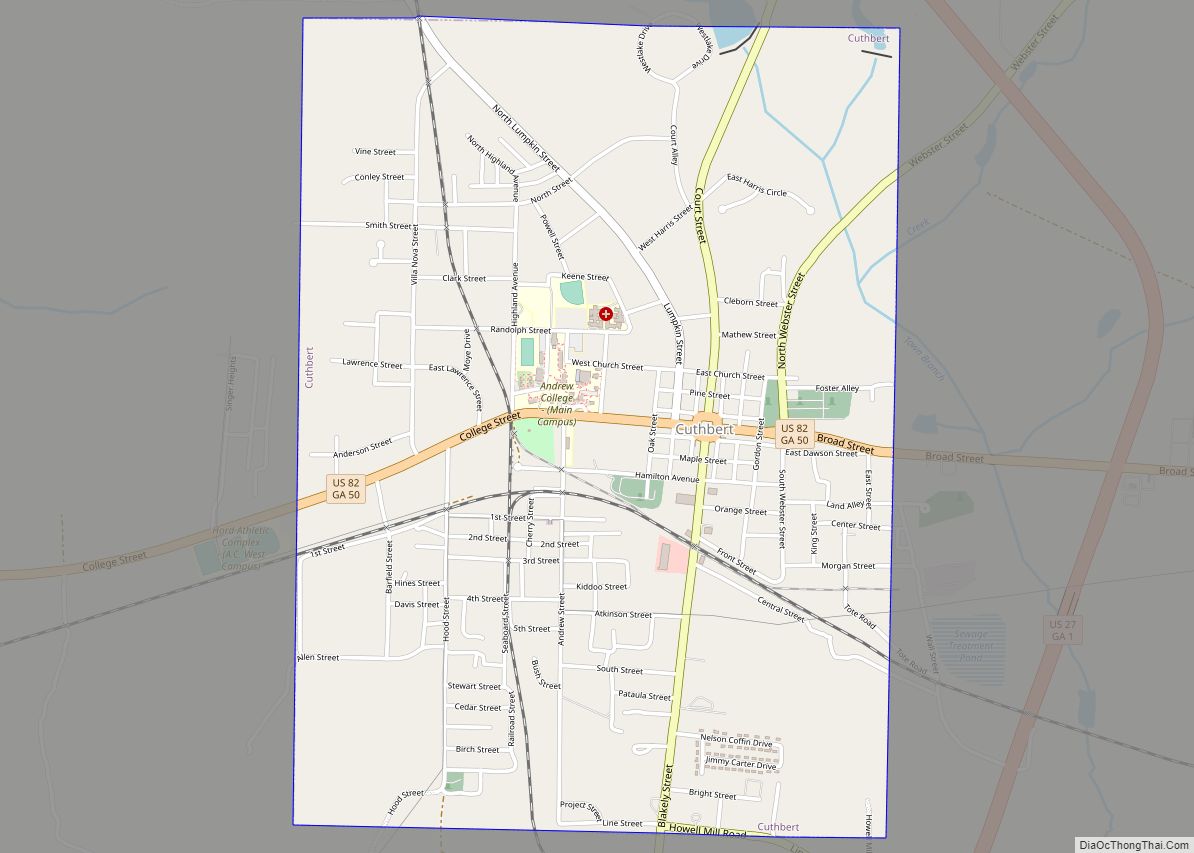
Cuthbert is a city in, and the county seat of, Randolph County, Georgia, United States. The population was 3,520 in 2019.
| Name: | Cuthbert city |
|---|---|
| LSAD Code: | 25 |
| LSAD Description: | city (suffix) |
| State: | Georgia |
| County: | Randolph County |
| Elevation: | 466 ft (142 m) |
| Total Area: | 3.06 sq mi (7.92 km²) |
| Land Area: | 3.05 sq mi (7.89 km²) |
| Water Area: | 0.01 sq mi (0.04 km²) |
| Total Population: | 3,143 |
| Population Density: | 1,031.85/sq mi (398.46/km²) |
| ZIP code: | 39840 |
| Area code: | 229 |
| FIPS code: | 1321072 |
| GNISfeature ID: | 0313227 |
Online Interactive Map
Click on ![]() to view map in "full screen" mode.
to view map in "full screen" mode.
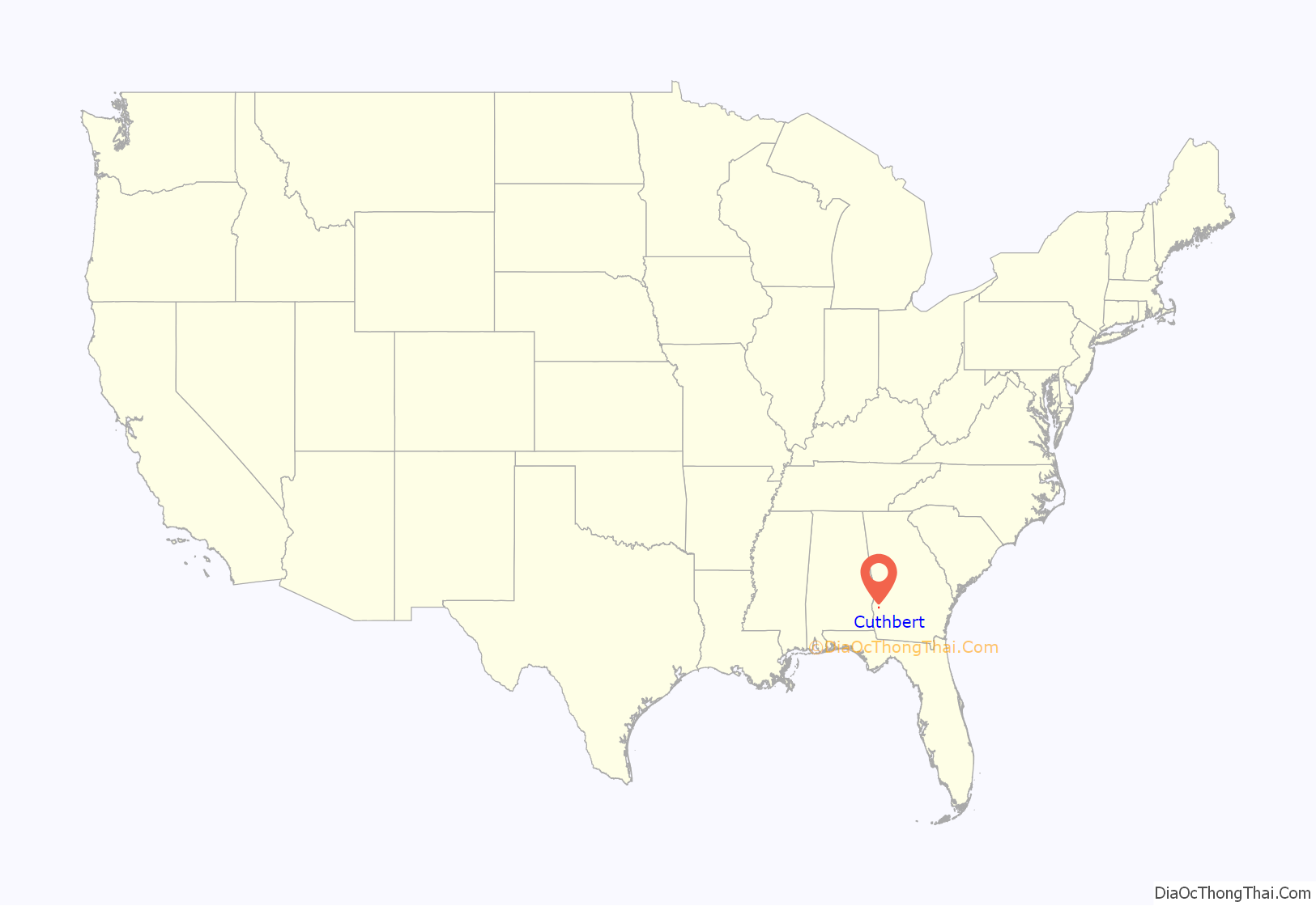
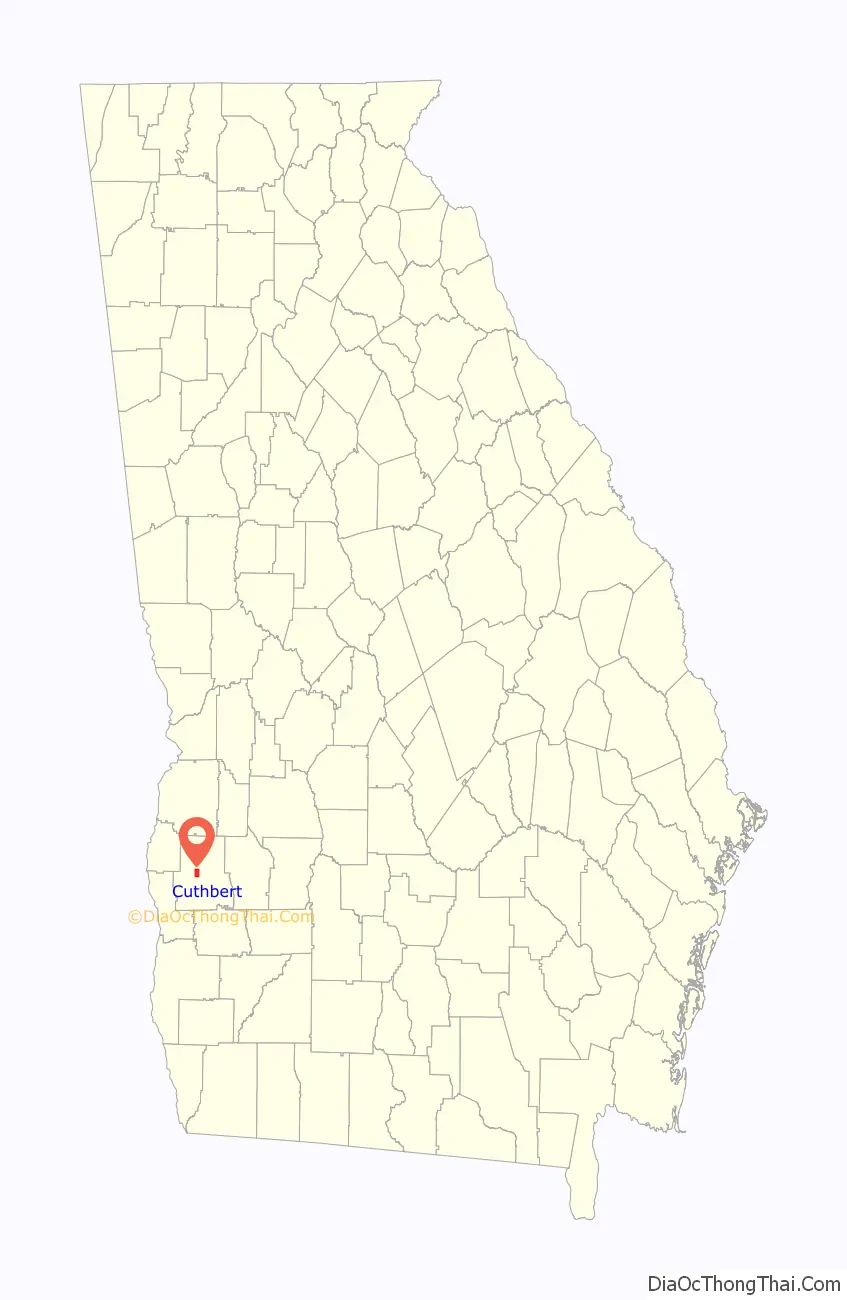
Cuthbert location map. Where is Cuthbert city?
History
Cuthbert was founded by European Americans in 1831 as seat of the newly formed Randolph County, after Indian Removal of the historic tribes to Indian Territory west of the Mississippi River. John Alfred Cuthbert, who represented Georgia in the U.S. House of Representatives from 1819 to 1821, is its namesake. The county was developed for cotton plantations, the major commodity crop, and the rural area had a high proportion of enslaved African-American workers. Cuthbert was incorporated as a town in 1834 and as a city in 1859, serving as the trading center for the area. The Central of Georgia Railway arrived in Cuthbert in the 1850s, stimulating trade and growth, and providing a means of getting cotton and other crops to market.
A few years before 2022, the city’s hospital closed.
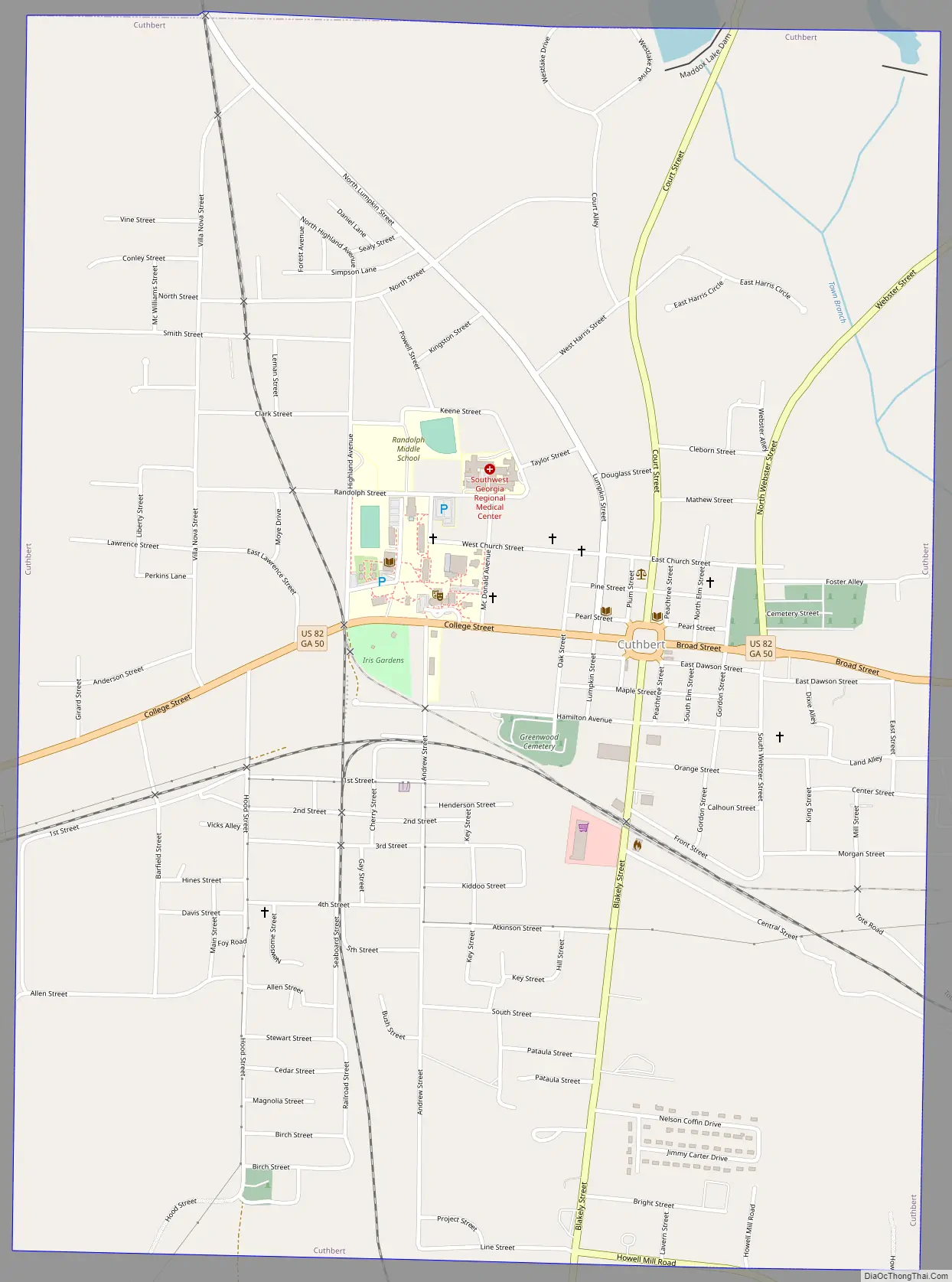
Cuthbert Road Map
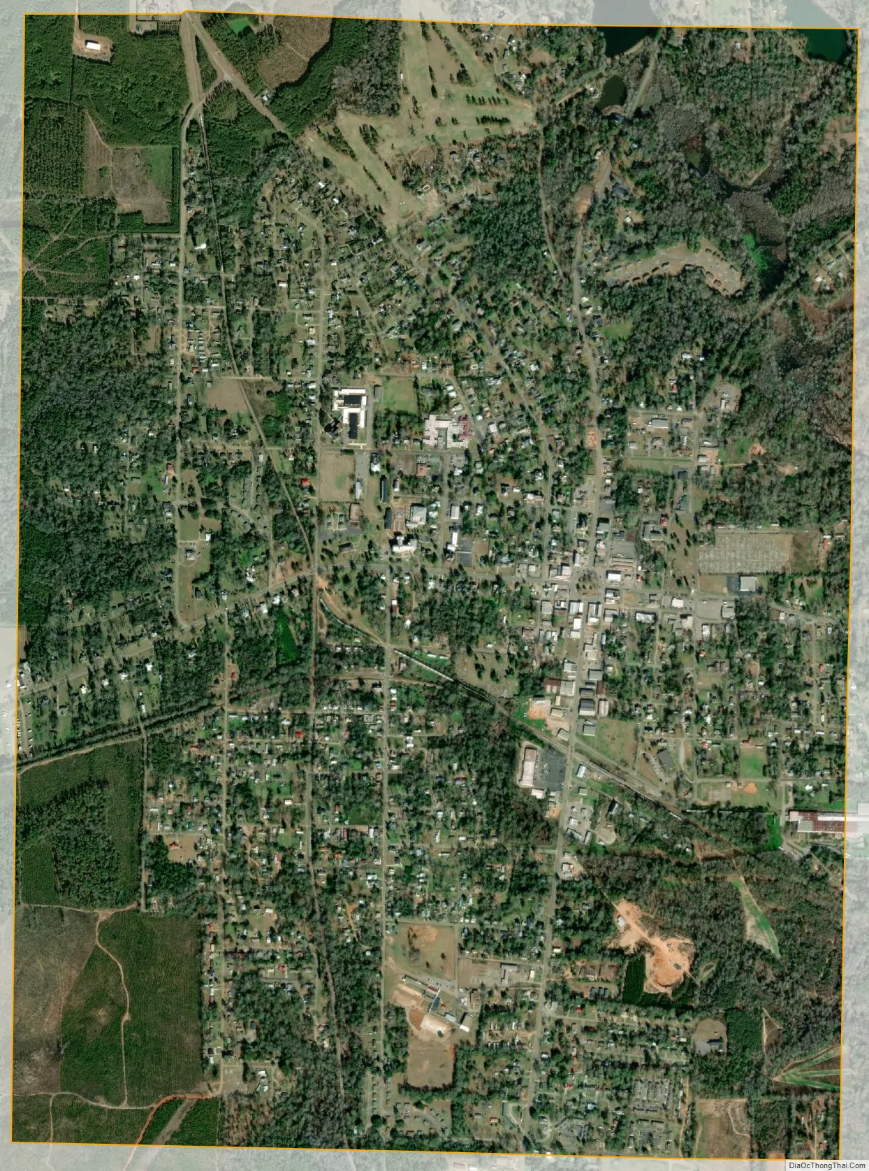
Cuthbert city Satellite Map
Geography
Cuthbert is located at 31º46’15” North, 84º47’37” West (31.770726, -84.793517). The city is located along U.S. Route 27 and U.S. Route 82. U.S. Route 27 passes east of the city leading north 57 miles (92 km) to Columbus and south 112 miles (180 km) to Tallahassee, Florida. U.S. Route 82 passes through the heart of the city leading east 45 miles (72 km) to Albany and west 26 miles (42 km) to Eufaula, Alabama. Other highways that pass through the city include Georgia State Route 266 and Georgia State Route 216.
According to the United States Census Bureau, the city has a total area of 3.0 square miles (7.8 km), all land.
Climate
See also
Map of Georgia State and its subdivision:- Appling
- Atkinson
- Bacon
- Baker
- Baldwin
- Banks
- Barrow
- Bartow
- Ben Hill
- Berrien
- Bibb
- Bleckley
- Brantley
- Brooks
- Bryan
- Bulloch
- Burke
- Butts
- Calhoun
- Camden
- Candler
- Carroll
- Catoosa
- Charlton
- Chatham
- Chattahoochee
- Chattooga
- Cherokee
- Clarke
- Clay
- Clayton
- Clinch
- Cobb
- Coffee
- Colquitt
- Columbia
- Cook
- Coweta
- Crawford
- Crisp
- Dade
- Dawson
- Decatur
- DeKalb
- Dodge
- Dooly
- Dougherty
- Douglas
- Early
- Echols
- Effingham
- Elbert
- Emanuel
- Evans
- Fannin
- Fayette
- Floyd
- Forsyth
- Franklin
- Fulton
- Gilmer
- Glascock
- Glynn
- Gordon
- Grady
- Greene
- Gwinnett
- Habersham
- Hall
- Hancock
- Haralson
- Harris
- Hart
- Heard
- Henry
- Houston
- Irwin
- Jackson
- Jasper
- Jeff Davis
- Jefferson
- Jenkins
- Johnson
- Jones
- Lamar
- Lanier
- Laurens
- Lee
- Liberty
- Lincoln
- Long
- Lowndes
- Lumpkin
- Macon
- Madison
- Marion
- McDuffie
- McIntosh
- Meriwether
- Miller
- Mitchell
- Monroe
- Montgomery
- Morgan
- Murray
- Muscogee
- Newton
- Oconee
- Oglethorpe
- Paulding
- Peach
- Pickens
- Pierce
- Pike
- Polk
- Pulaski
- Putnam
- Quitman
- Rabun
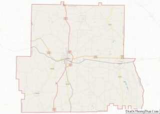
- Randolph
- Richmond
- Rockdale
- Schley
- Screven
- Seminole
- Spalding
- Stephens
- Stewart
- Sumter
- Talbot
- Taliaferro
- Tattnall
- Taylor
- Telfair
- Terrell
- Thomas
- Tift
- Toombs
- Towns
- Treutlen
- Troup
- Turner
- Twiggs
- Union
- Upson
- Walker
- Walton
- Ware
- Warren
- Washington
- Wayne
- Webster
- Wheeler
- White
- Whitfield
- Wilcox
- Wilkes
- Wilkinson
- Worth
- Alabama
- Alaska
- Arizona
- Arkansas
- California
- Colorado
- Connecticut
- Delaware
- District of Columbia
- Florida
- Georgia
- Hawaii
- Idaho
- Illinois
- Indiana
- Iowa
- Kansas
- Kentucky
- Louisiana
- Maine
- Maryland
- Massachusetts
- Michigan
- Minnesota
- Mississippi
- Missouri
- Montana
- Nebraska
- Nevada
- New Hampshire
- New Jersey
- New Mexico
- New York
- North Carolina
- North Dakota
- Ohio
- Oklahoma
- Oregon
- Pennsylvania
- Rhode Island
- South Carolina
- South Dakota
- Tennessee
- Texas
- Utah
- Vermont
- Virginia
- Washington
- West Virginia
- Wisconsin
- Wyoming