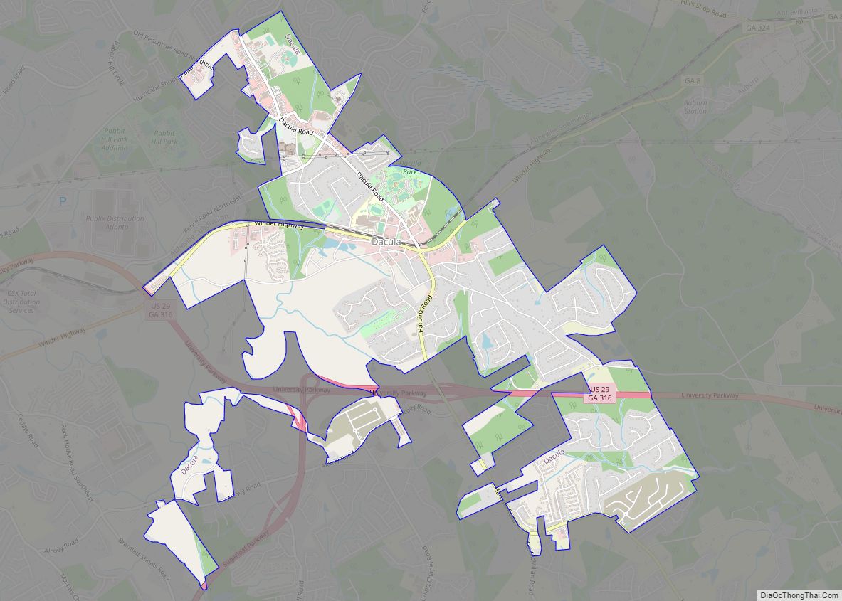
Dacula (/dəˈkjuːlə/ də-KEW-lə) is a city in Gwinnett County, Georgia, United States. It is an exurb of Atlanta, located approximately 37 miles (60 km) northeast of downtown. The population as of the 2010 census was 4,442, and the U.S. Census Bureau estimated the population to be 6,255 as of 2018.
| Name: | Dacula city |
|---|---|
| LSAD Code: | 25 |
| LSAD Description: | city (suffix) |
| State: | Georgia |
| County: | Gwinnett County |
| Elevation: | 1,122 ft (342 m) |
| Total Area: | 5.45 sq mi (14.11 km²) |
| Land Area: | 5.42 sq mi (14.03 km²) |
| Water Area: | 0.03 sq mi (0.08 km²) |
| Total Population: | 6,882 |
| Population Density: | 1,270.68/sq mi (490.65/km²) |
| ZIP code: | 30019 |
| Area code: | 770 |
| FIPS code: | 1321184 |
| GNISfeature ID: | 2404173 |
| Website: | daculaga.gov |
Online Interactive Map
Click on ![]() to view map in "full screen" mode.
to view map in "full screen" mode.
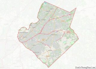
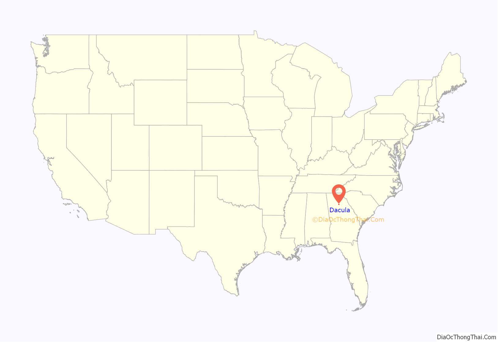
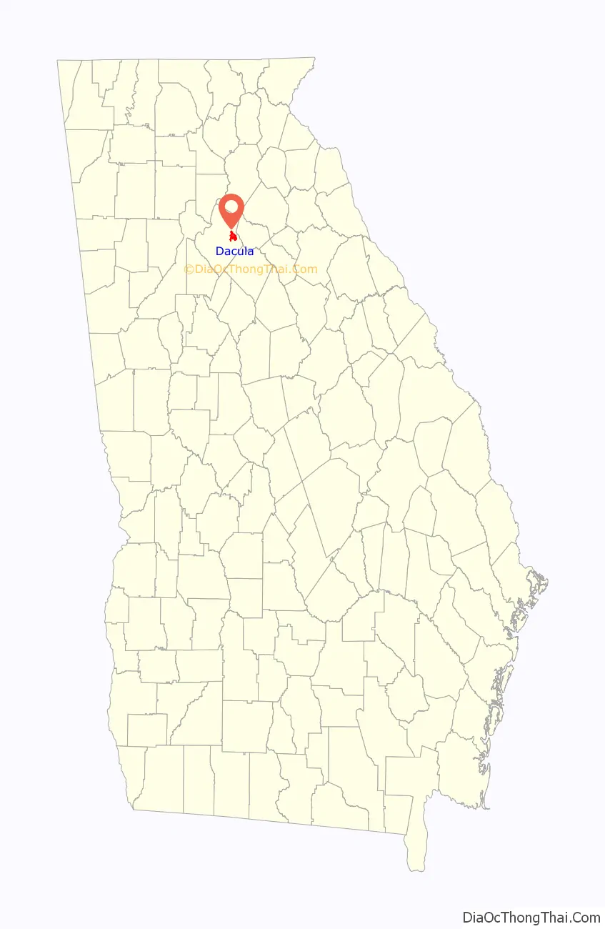
Dacula location map. Where is Dacula city?
History
The vicinity of Dacula was one of the first areas in present-day metropolitan Atlanta to be claimed by settlers (around the time of the War of 1812), but the area remained mostly undeveloped until the late 20th century. The Dacula area is home to some of the oldest buildings in greater Atlanta, such as the Elisha Winn House, which originally acted as the courthouse for Gwinnett County. Dacula itself began in the late 1800s under the name of Chinquapin Grove, where Dacula Elementary now stands. The town was renamed named “Hoke”, in 1891 after a Seaboard Air Line Railroad executive, but that name was changed due to the Post Office Department’s protest. Dacula’s name was formed from letters in Decatur and Atlanta, two cities to the west that were already prospering at the time of Dacula’s founding. The city was once home to a train station on a CSX line through northeast Georgia, although the station closed in the mid-1950s.
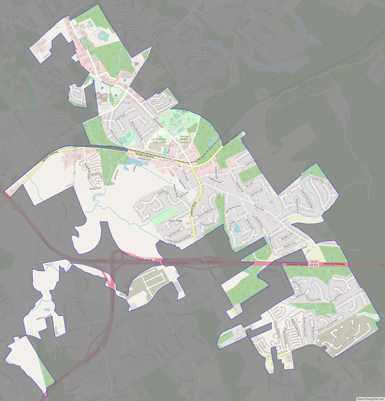
Dacula Road Map
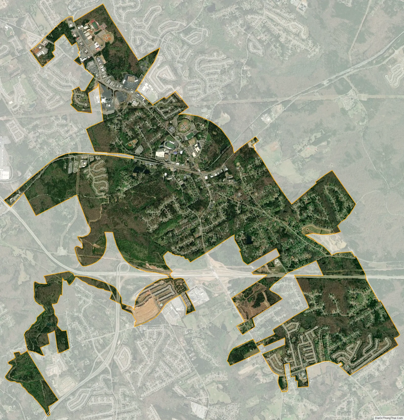
Dacula city Satellite Map
Geography
Dacula is located in eastern Gwinnett County, with U.S. Route 29 Business/Georgia State Route 8 (Winder Highway) the main road through the center of town. Business 29/SR 8 leads west 6 miles (10 km) to Lawrenceville, the county seat, and east 11 miles (18 km) to Winder. U.S. Route 29 (University Parkway) is a four-lane highway that bypasses Dacula to the south, with access from Harbins Road. University Parkway leads east 34 miles (55 km) to Athens and west 12 miles (19 km) to Interstate 85, which leads an additional 25 miles (40 km) southwest to downtown Atlanta.
According to the United States Census Bureau, Dacula has a total area of 5.0 square miles (12.9 km), of which 0.031 square miles (0.08 km), or 0.59%, is water.
The Dacula 30019 ZIP Code goes well beyond the city limits, resulting in mail delivery as far north as the unincorporated community of Hamilton Mill, south of Interstate 85.
See also
Map of Georgia State and its subdivision:- Appling
- Atkinson
- Bacon
- Baker
- Baldwin
- Banks
- Barrow
- Bartow
- Ben Hill
- Berrien
- Bibb
- Bleckley
- Brantley
- Brooks
- Bryan
- Bulloch
- Burke
- Butts
- Calhoun
- Camden
- Candler
- Carroll
- Catoosa
- Charlton
- Chatham
- Chattahoochee
- Chattooga
- Cherokee
- Clarke
- Clay
- Clayton
- Clinch
- Cobb
- Coffee
- Colquitt
- Columbia
- Cook
- Coweta
- Crawford
- Crisp
- Dade
- Dawson
- Decatur
- DeKalb
- Dodge
- Dooly
- Dougherty
- Douglas
- Early
- Echols
- Effingham
- Elbert
- Emanuel
- Evans
- Fannin
- Fayette
- Floyd
- Forsyth
- Franklin
- Fulton
- Gilmer
- Glascock
- Glynn
- Gordon
- Grady
- Greene
- Gwinnett
- Habersham
- Hall
- Hancock
- Haralson
- Harris
- Hart
- Heard
- Henry
- Houston
- Irwin
- Jackson
- Jasper
- Jeff Davis
- Jefferson
- Jenkins
- Johnson
- Jones
- Lamar
- Lanier
- Laurens
- Lee
- Liberty
- Lincoln
- Long
- Lowndes
- Lumpkin
- Macon
- Madison
- Marion
- McDuffie
- McIntosh
- Meriwether
- Miller
- Mitchell
- Monroe
- Montgomery
- Morgan
- Murray
- Muscogee
- Newton
- Oconee
- Oglethorpe
- Paulding
- Peach
- Pickens
- Pierce
- Pike
- Polk
- Pulaski
- Putnam
- Quitman
- Rabun
- Randolph
- Richmond
- Rockdale
- Schley
- Screven
- Seminole
- Spalding
- Stephens
- Stewart
- Sumter
- Talbot
- Taliaferro
- Tattnall
- Taylor
- Telfair
- Terrell
- Thomas
- Tift
- Toombs
- Towns
- Treutlen
- Troup
- Turner
- Twiggs
- Union
- Upson
- Walker
- Walton
- Ware
- Warren
- Washington
- Wayne
- Webster
- Wheeler
- White
- Whitfield
- Wilcox
- Wilkes
- Wilkinson
- Worth
- Alabama
- Alaska
- Arizona
- Arkansas
- California
- Colorado
- Connecticut
- Delaware
- District of Columbia
- Florida
- Georgia
- Hawaii
- Idaho
- Illinois
- Indiana
- Iowa
- Kansas
- Kentucky
- Louisiana
- Maine
- Maryland
- Massachusetts
- Michigan
- Minnesota
- Mississippi
- Missouri
- Montana
- Nebraska
- Nevada
- New Hampshire
- New Jersey
- New Mexico
- New York
- North Carolina
- North Dakota
- Ohio
- Oklahoma
- Oregon
- Pennsylvania
- Rhode Island
- South Carolina
- South Dakota
- Tennessee
- Texas
- Utah
- Vermont
- Virginia
- Washington
- West Virginia
- Wisconsin
- Wyoming