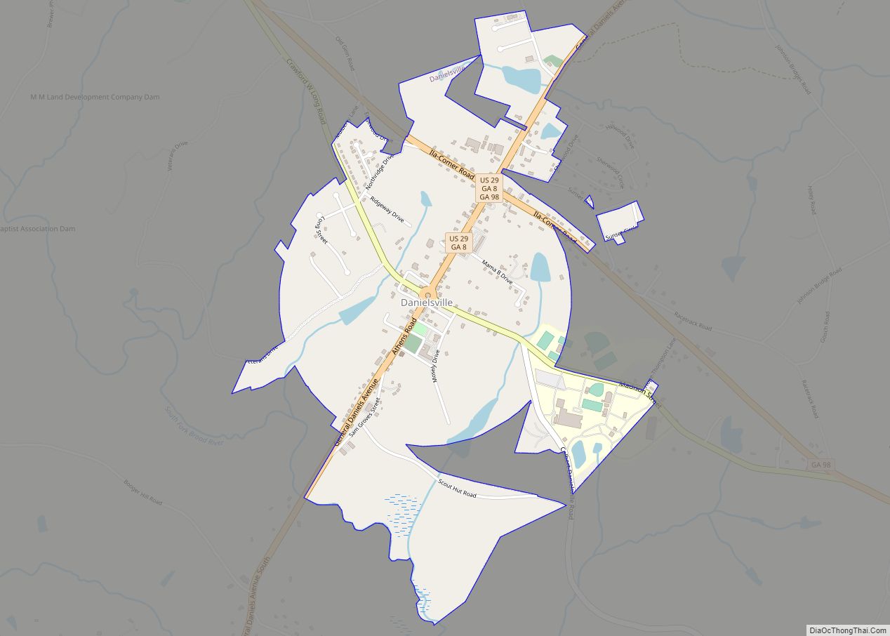
Danielsville is a city in Madison County, Georgia, United States. The population was 654 at the 2020 census, up from 560 in 2010. The city is the county seat of Madison County.
| Name: | Danielsville city |
|---|---|
| LSAD Code: | 25 |
| LSAD Description: | city (suffix) |
| State: | Georgia |
| County: | Madison County |
| Elevation: | 728 ft (222 m) |
| Total Area: | 1.48 sq mi (3.83 km²) |
| Land Area: | 1.45 sq mi (3.74 km²) |
| Water Area: | 0.03 sq mi (0.09 km²) |
| Total Population: | 654 |
| Population Density: | 452.28/sq mi (174.68/km²) |
| ZIP code: | 30633 |
| Area code: | 706 |
| FIPS code: | 1321632 |
| GNISfeature ID: | 0331511 |
| Website: | www.danielsvillega.com |
Online Interactive Map
Click on ![]() to view map in "full screen" mode.
to view map in "full screen" mode.
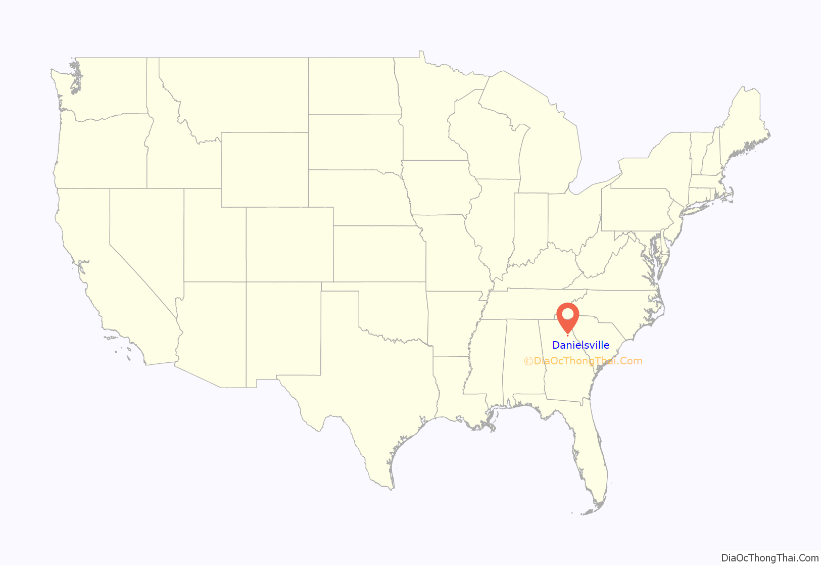
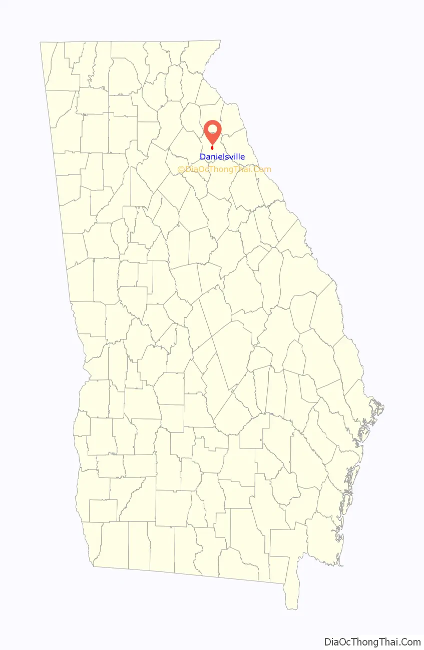
Danielsville location map. Where is Danielsville city?
History
Danielsville was named for General Allen Daniel (1772-1836), major-general of the Fourth Division of Georgia Militia 1812-17 and both state senator and representative from Elbert and Madison counties. He was Speaker of the Georgia House of Representatives in 1822. His father was at one time thought to be a Captain Allen Daniel of Virginia, a veteran of the Revolutionary War, but this has been disproved. In 1812, Danielsville was designated seat of the newly formed Madison County. Danielsville was incorporated as a town in 1817 and as a city in 1908.
Lynching of Lent Shaw
On April 11, 1936, a 45-year-old Black father of eleven children, called Lent Shaw in newspaper accounts as his name is misspelled in court documents, was arrested by Madison County police and taken to the county jail in Danielsville. His accuser, a white woman aged 22, alleged that Shaw was the man who had attacked her on April 10. Shaw claimed that he was at home at the time of the alleged attack.
By late evening, word had spread of Shaw’s arrest, and a mob of about 150 white county residents gathered at the jail, demanding Shaw be released to them. Sheriff T. L. Henley tried to break up the mob unsuccessfully. The mob began prying apart the brick wall of the jail when 74-year-old judge Berry Mosely, who had been confined to bed with an illness, arrived and began talking down the mob. In the meantime, the county sheriff began rounding up deputies and called in nearby National Guard soldiers. Judge Mosely ordered the sheriff to take Shaw to Grady Memorial Hospital in Atlanta. When the National Guard soldiers arrived, they backed a truck up to the jail and sped away to Athens before the mob could react. No one was severely injured in the incident, but the damaged jail had to be repaired. During transit, Shaw allegedly assaulted police officers escorting him, and the police responded by shooting him three times.
Two weeks later, Shaw was brought back to Danielsville to face trial. The mob reappeared, and Mosely again ordered Shaw moved away for his safety, this time to Royston. That location was not far enough to protect him from the mob, which followed Shaw to the jail there. In April 1936, in the middle of the night, the mob stormed the jail, shot Shaw multiple times, and lynched him, leaving his hanging body to be found later. His lynchers posed for pictures memorializing the barbaric event. His death was the 468th lynching in Georgia since 1889.
Images of the lynching, featuring Shaw’s battered corpse flanked by his attackers, were printed extensively by the national press including the Atlanta Daily World, The Crisis, The New York Times, and other newspapers. Shaw’s lynching is referenced in archival material from the NAACP archives at the Library of Congress, and the story has been preserved and explored by historians of racial violence including Dr. Nell Irvin Painter and Dr. Amy Louise Wood. Photographs of the lynching are also featured in author Richard Wright’s landmark book, 12 Million Black Voices. To date, none of Shaw’s murderers have been publicly identified or brought to justice, though many of their faces are clearly displayed in photos of the lynching.
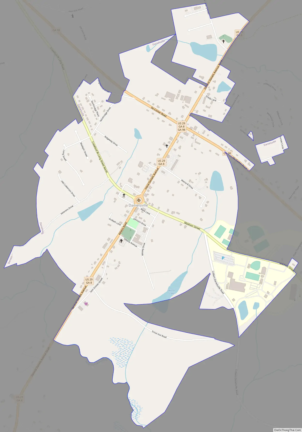
Danielsville Road Map
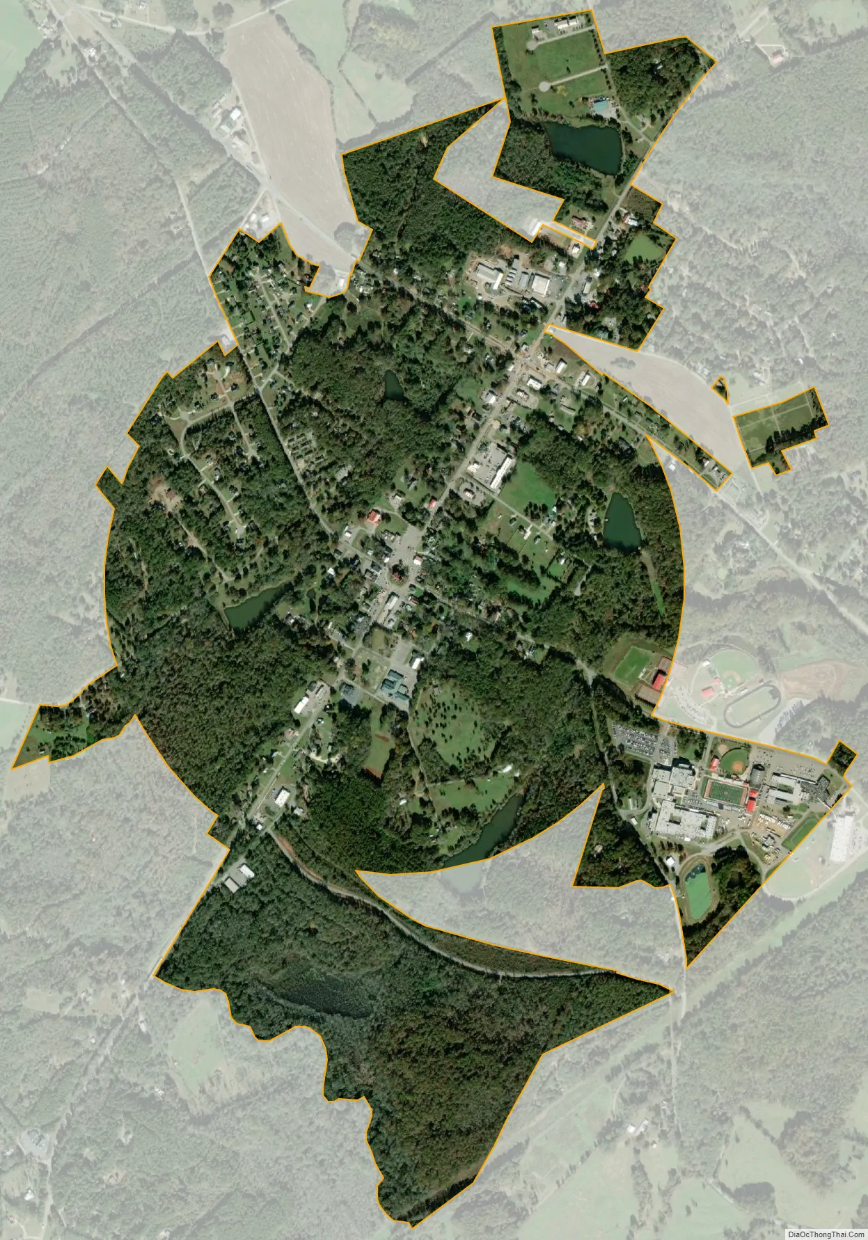
Danielsville city Satellite Map
Geography
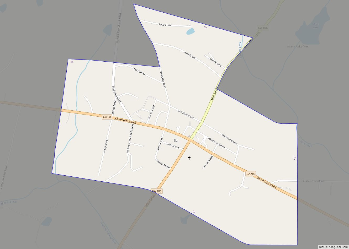
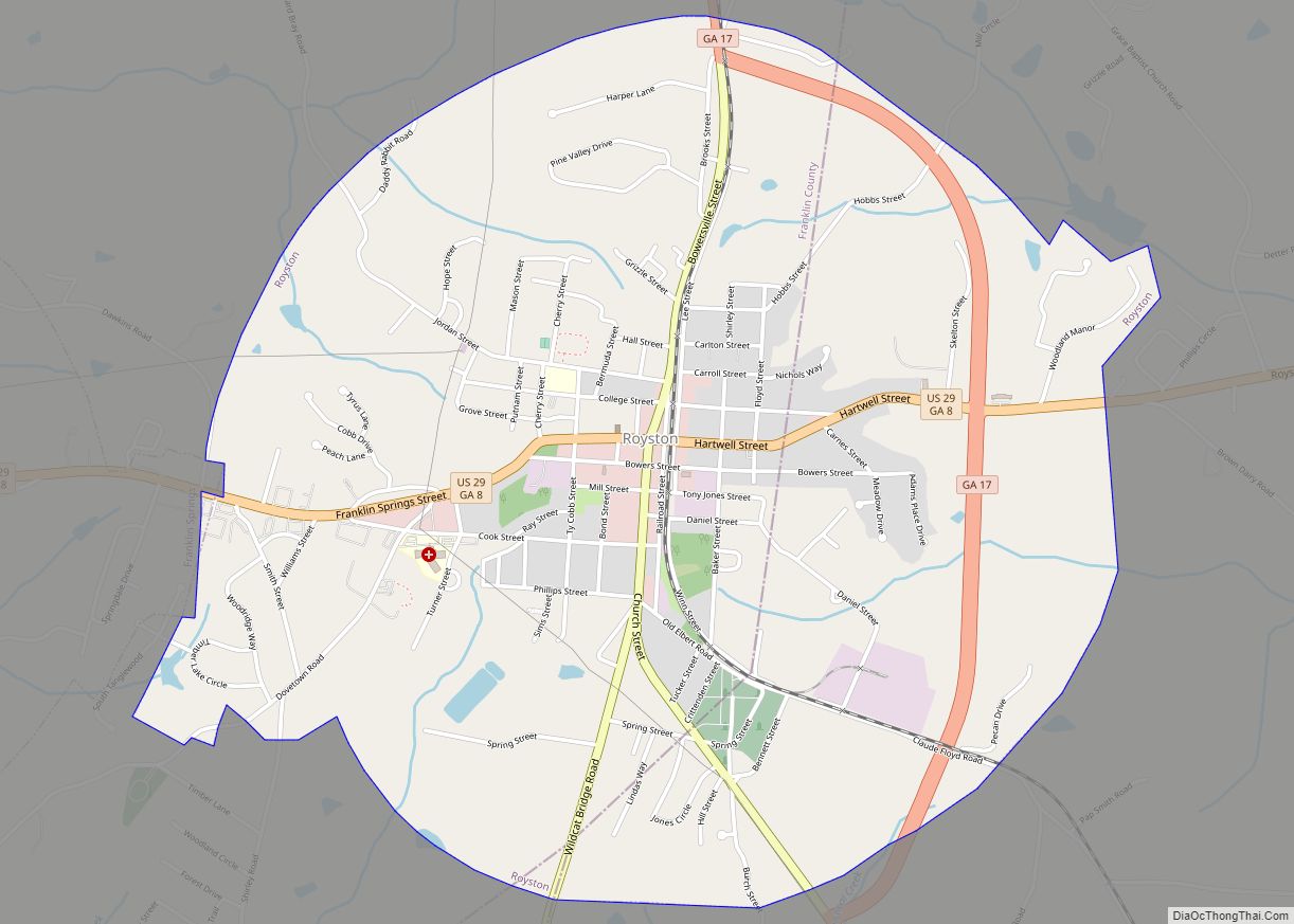
Danielsville is located in central Madison County at 34°7′27″N 83°12′59″W / 34.12417°N 83.21639°W / 34.12417; -83.21639 (34.124244, -83.216496). The city lies 15 miles (24 km) northeast of Athens and the same distance southwest of Royston along U.S. Route 29. Georgia State Route 98 passes through the northeastern part of Danielsville, leading northwest 5 miles (8 km) to Ila and southeast 8 miles (13 km) to Comer.
According to the United States Census Bureau, Danielsville has a total area of 1.5 square miles (3.9 km), of which 0.03 square miles (0.08 km), or 2.30%, are water. The city is drained to the south by tributaries of the South Fork of the Broad River, part of the Savannah River watershed.
Climate
See also
Map of Georgia State and its subdivision:- Appling
- Atkinson
- Bacon
- Baker
- Baldwin
- Banks
- Barrow
- Bartow
- Ben Hill
- Berrien
- Bibb
- Bleckley
- Brantley
- Brooks
- Bryan
- Bulloch
- Burke
- Butts
- Calhoun
- Camden
- Candler
- Carroll
- Catoosa
- Charlton
- Chatham
- Chattahoochee
- Chattooga
- Cherokee
- Clarke
- Clay
- Clayton
- Clinch
- Cobb
- Coffee
- Colquitt
- Columbia
- Cook
- Coweta
- Crawford
- Crisp
- Dade
- Dawson
- Decatur
- DeKalb
- Dodge
- Dooly
- Dougherty
- Douglas
- Early
- Echols
- Effingham
- Elbert
- Emanuel
- Evans
- Fannin
- Fayette
- Floyd
- Forsyth
- Franklin
- Fulton
- Gilmer
- Glascock
- Glynn
- Gordon
- Grady
- Greene
- Gwinnett
- Habersham
- Hall
- Hancock
- Haralson
- Harris
- Hart
- Heard
- Henry
- Houston
- Irwin
- Jackson
- Jasper
- Jeff Davis
- Jefferson
- Jenkins
- Johnson
- Jones
- Lamar
- Lanier
- Laurens
- Lee
- Liberty
- Lincoln
- Long
- Lowndes
- Lumpkin
- Macon
- Madison
- Marion
- McDuffie
- McIntosh
- Meriwether
- Miller
- Mitchell
- Monroe
- Montgomery
- Morgan
- Murray
- Muscogee
- Newton
- Oconee
- Oglethorpe
- Paulding
- Peach
- Pickens
- Pierce
- Pike
- Polk
- Pulaski
- Putnam
- Quitman
- Rabun
- Randolph
- Richmond
- Rockdale
- Schley
- Screven
- Seminole
- Spalding
- Stephens
- Stewart
- Sumter
- Talbot
- Taliaferro
- Tattnall
- Taylor
- Telfair
- Terrell
- Thomas
- Tift
- Toombs
- Towns
- Treutlen
- Troup
- Turner
- Twiggs
- Union
- Upson
- Walker
- Walton
- Ware
- Warren
- Washington
- Wayne
- Webster
- Wheeler
- White
- Whitfield
- Wilcox
- Wilkes
- Wilkinson
- Worth
- Alabama
- Alaska
- Arizona
- Arkansas
- California
- Colorado
- Connecticut
- Delaware
- District of Columbia
- Florida
- Georgia
- Hawaii
- Idaho
- Illinois
- Indiana
- Iowa
- Kansas
- Kentucky
- Louisiana
- Maine
- Maryland
- Massachusetts
- Michigan
- Minnesota
- Mississippi
- Missouri
- Montana
- Nebraska
- Nevada
- New Hampshire
- New Jersey
- New Mexico
- New York
- North Carolina
- North Dakota
- Ohio
- Oklahoma
- Oregon
- Pennsylvania
- Rhode Island
- South Carolina
- South Dakota
- Tennessee
- Texas
- Utah
- Vermont
- Virginia
- Washington
- West Virginia
- Wisconsin
- Wyoming