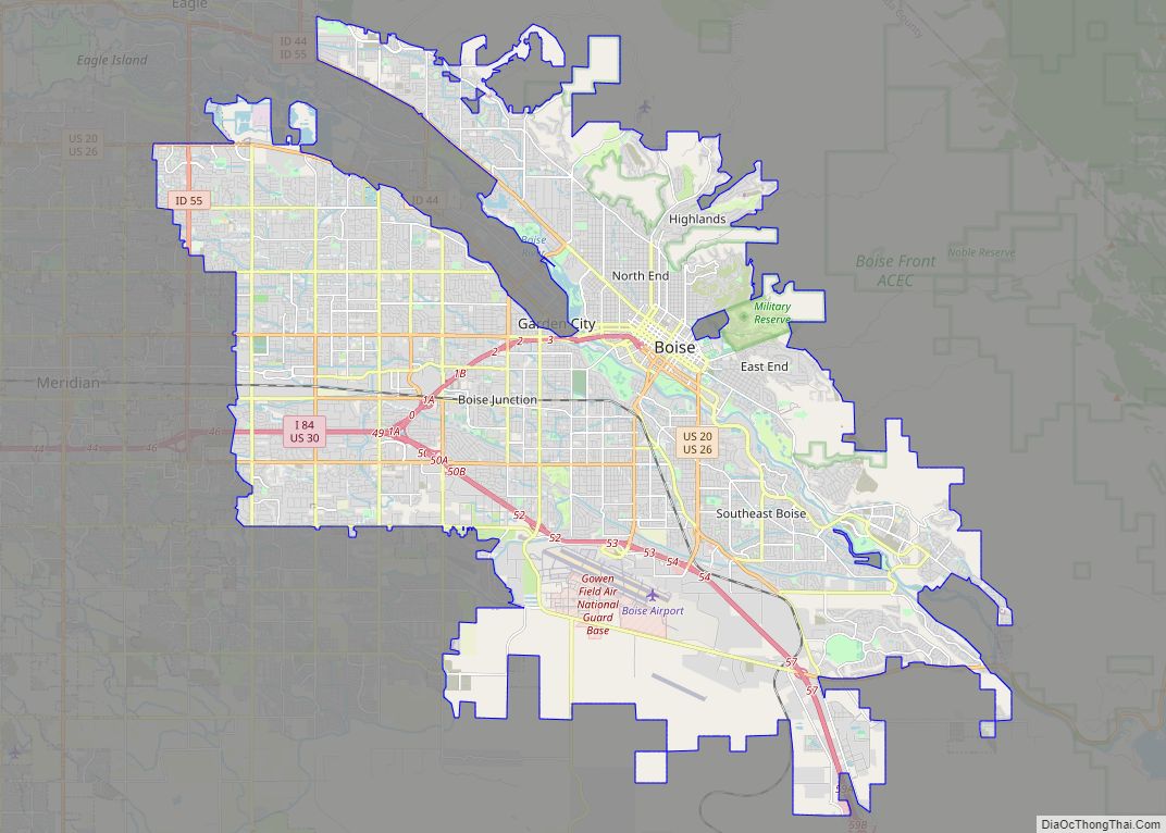
Boise City city overview: Name: Boise City city LSAD Code: 25 LSAD Description: city (suffix) State: Idaho County: Ada County FIPS code: 1608830 Discover the city of Boise, Idaho with our comprehensive map collection. We offer a range of maps that feature the city’s highway/road map, things to do, and a reference map of Boise. ... Read more
Idaho Cities and Places
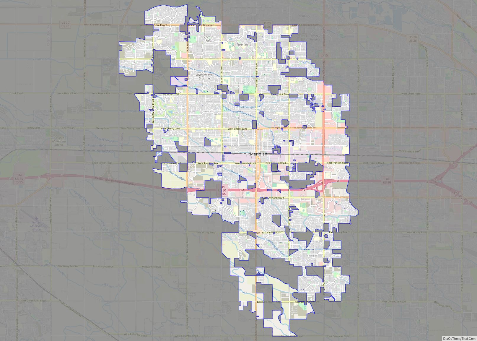
Meridian is a city located in Ada County in the U.S. state of Idaho. As of the 2020 census, the population of Meridian was 117,635, making it the second largest city in the county and Idaho after Boise, the state capital. Meridian is considered the state’s fastest-growing city and among the fastest-growing cities in the ... Read more
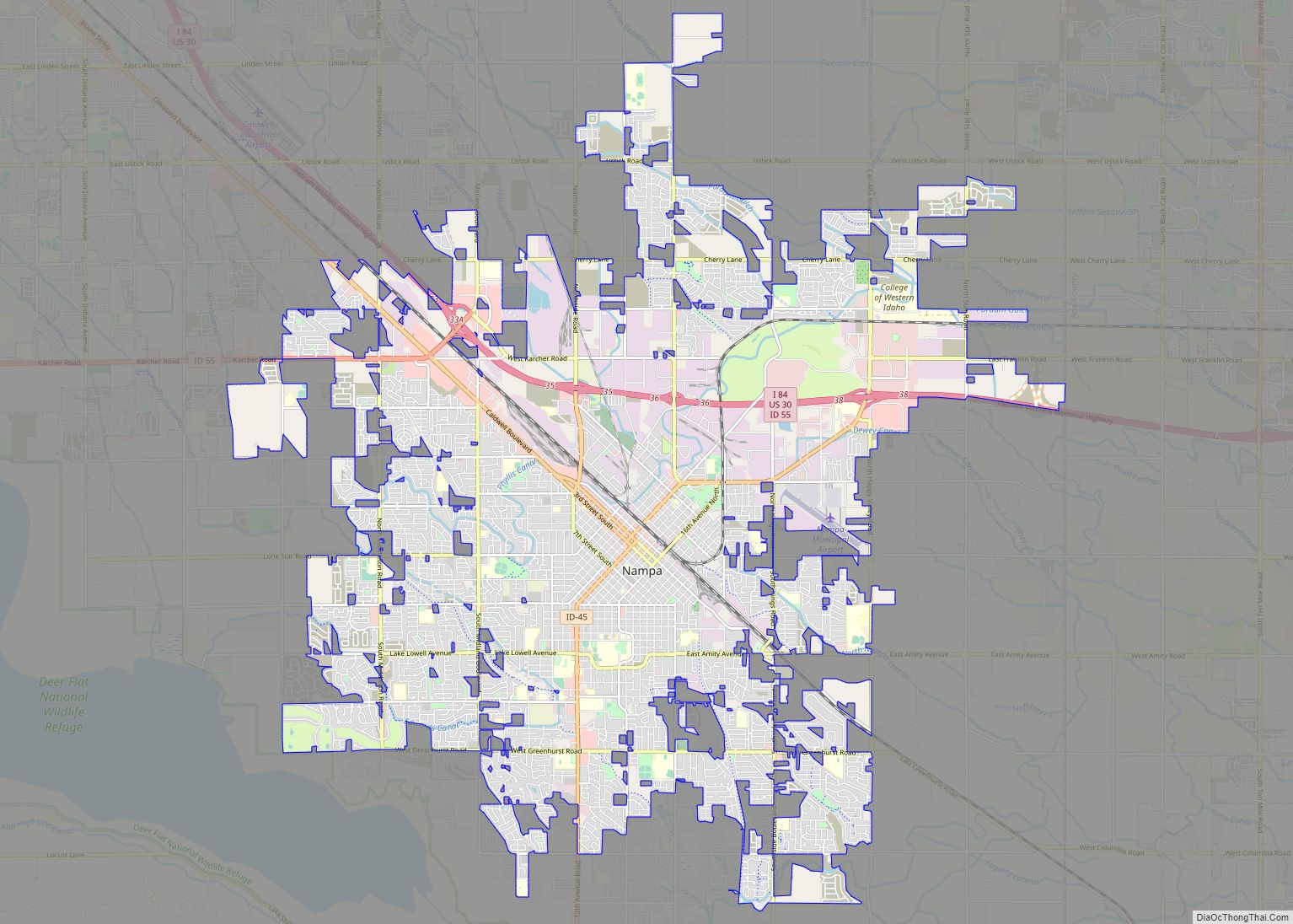
Nampa (/ˈnæmpə/ (listen)) is the largest city in Canyon County, Idaho, United States. Its population was 100,200 at the time of the 2020 Census. It is Idaho’s third-most populous city. Nampa is about 20 miles (32 km) west of Boise along Interstate 84, and six miles (10 km) west of Meridian. It is the second principal ... Read more
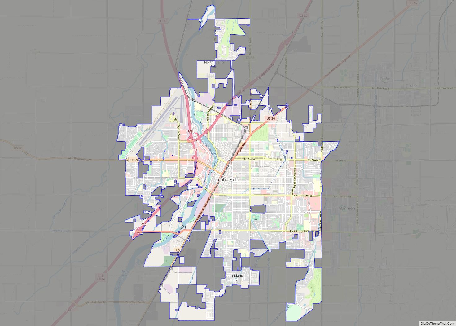
Idaho Falls is a city in and the county seat of Bonneville County, Idaho, United States. It is the state’s largest city outside the Boise metropolitan area. As of the 2020 census, the population of Idaho Falls was 64,818. In the 2010 census, the population of Idaho Falls was 56,813 (2019 estimate: 62,888), with a ... Read more
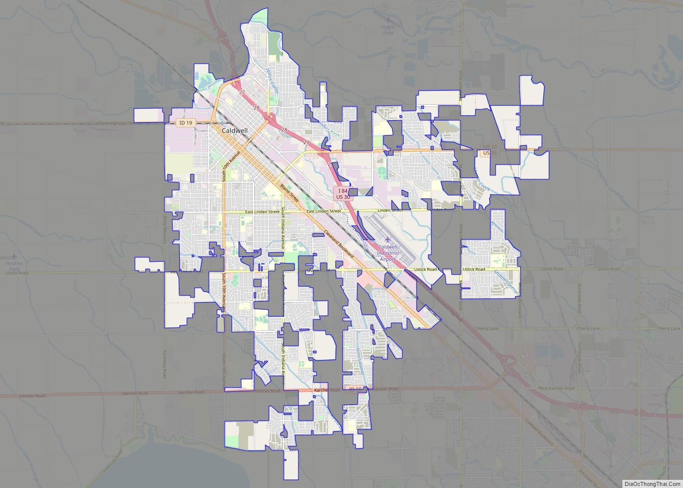
Caldwell (locally CALL-dwel) is a city in and the county seat of Canyon County, Idaho. The population was 59,996 at the time of the 2020 United States census. Caldwell is considered part of the Boise metropolitan area. Caldwell is the location of the College of Idaho. Caldwell city overview: Name: Caldwell city LSAD Code: 25 ... Read more
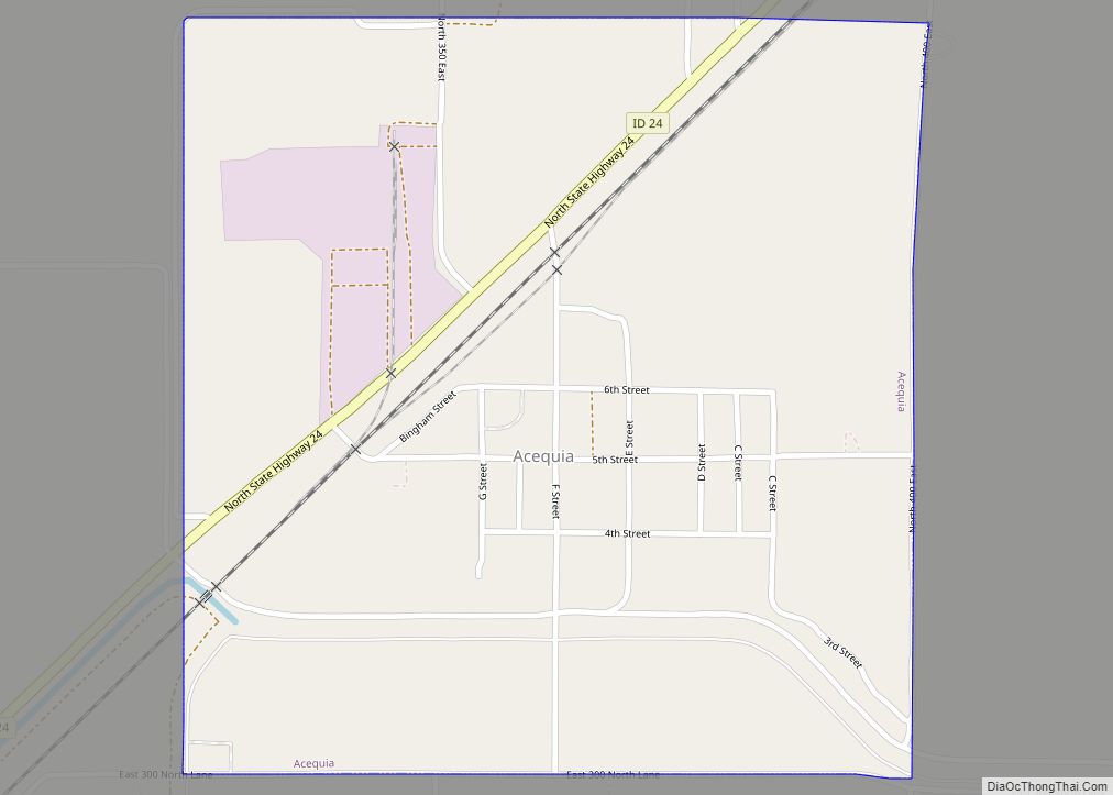
Acequia (pronounced ah-SEE-kwa) is a city in Minidoka County, Idaho, United States. The population was 131 at the 2020 census. It is part of the Burley, Idaho Micropolitan Statistical Area. The town is named for the Spanish word for canal. Acequia city overview: Name: Acequia city LSAD Code: 25 LSAD Description: city (suffix) State: Idaho ... Read more
Aberdeen is a city in Bingham County, Idaho, United States. The community was named after Aberdeen, in Scotland. The population was 1,994 at the 2010 census, up from 1,840 in 2000. Aberdeen city overview: Name: Aberdeen city LSAD Code: 25 LSAD Description: city (suffix) State: Idaho County: Bingham County Elevation: 4,403 ft (1,342 m) Total Area: 1.03 sq mi ... Read more
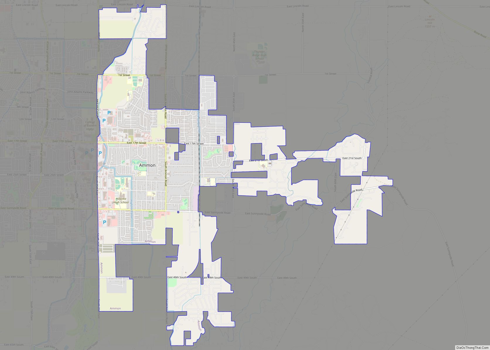
Ammon, the city “Where Tomorrow Begins,” is a suburb city located directly between the Ammon foothills on the east and the city of Idaho Falls on the west, in Bonneville County, Idaho, United States. As of the 2010 US Census, the population of Ammon was 13,816. By the 2020 census, Ammon’s population had grown to ... Read more
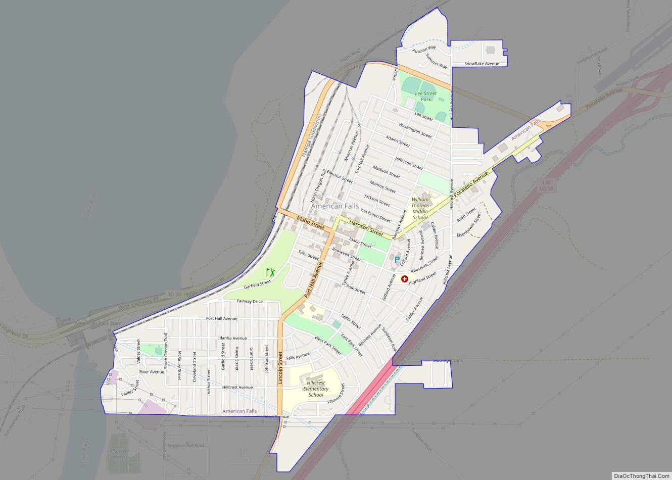
American Falls is a city in and the county seat of Power County, Idaho. The population was 4,457 at the time of the 2010 census. American Falls city overview: Name: American Falls city LSAD Code: 25 LSAD Description: city (suffix) State: Idaho County: Power County Elevation: 4,406 ft (1,343 m) Total Area: 1.61 sq mi (4.18 km²) Land Area: 1.61 sq mi ... Read more
Albion is a city in Cassia County, Idaho, United States. It is part of the Burley, Idaho Micropolitan Statistical Area. The population was 234 at the 2020 census. Albion was the county seat of Cassia County from 1879 to 1918. Albion is one of the few cities in the Magic Valley region of Idaho founded ... Read more
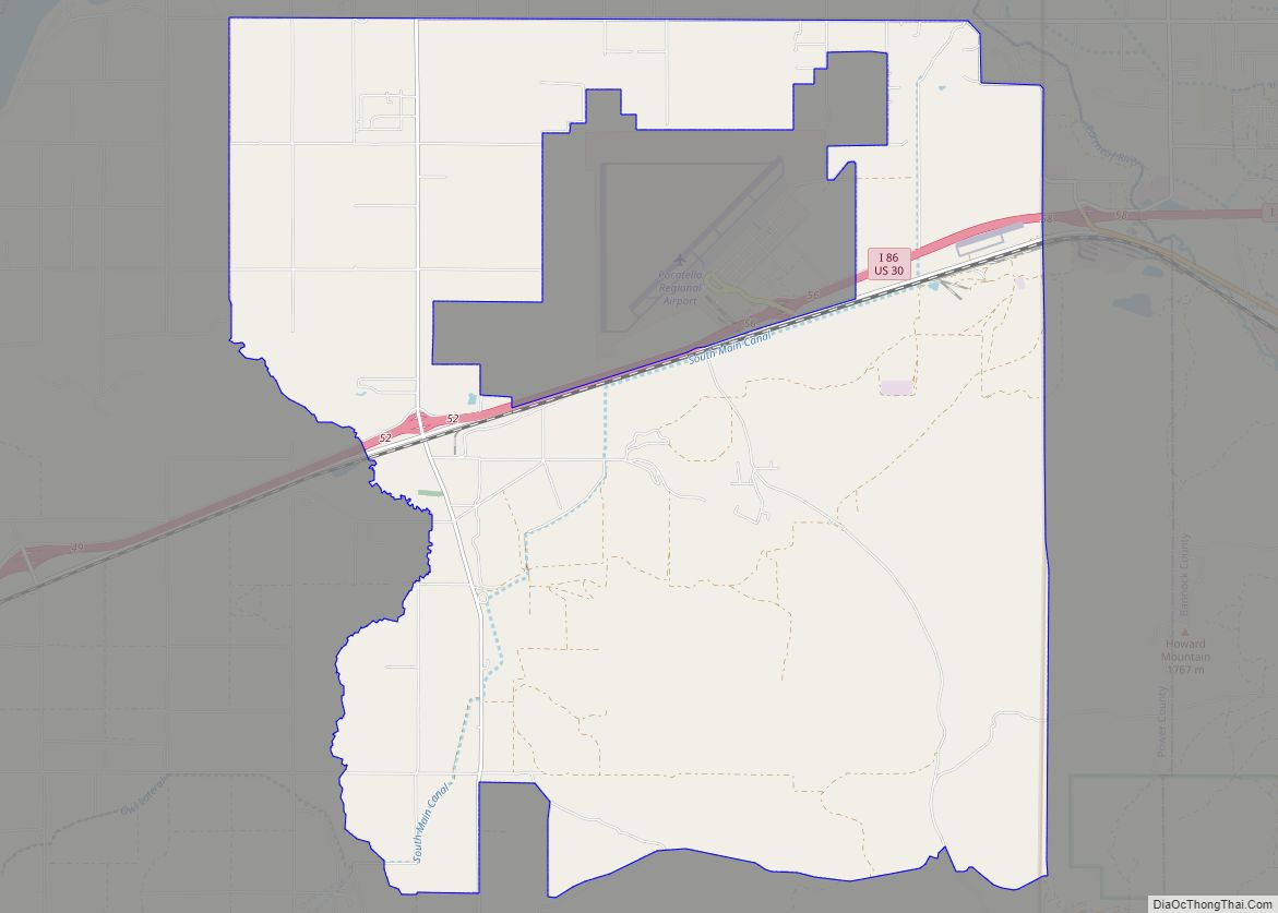
Arbon Valley is a census-designated place (CDP) in Power County, Idaho, in the United States. As of the 2010 census, the CDP population was 599. It lies within the Fort Hall Indian Reservation, just west of the city of Pocatello. Arbon Valley CDP overview: Name: Arbon Valley CDP LSAD Code: 57 LSAD Description: CDP (suffix) ... Read more
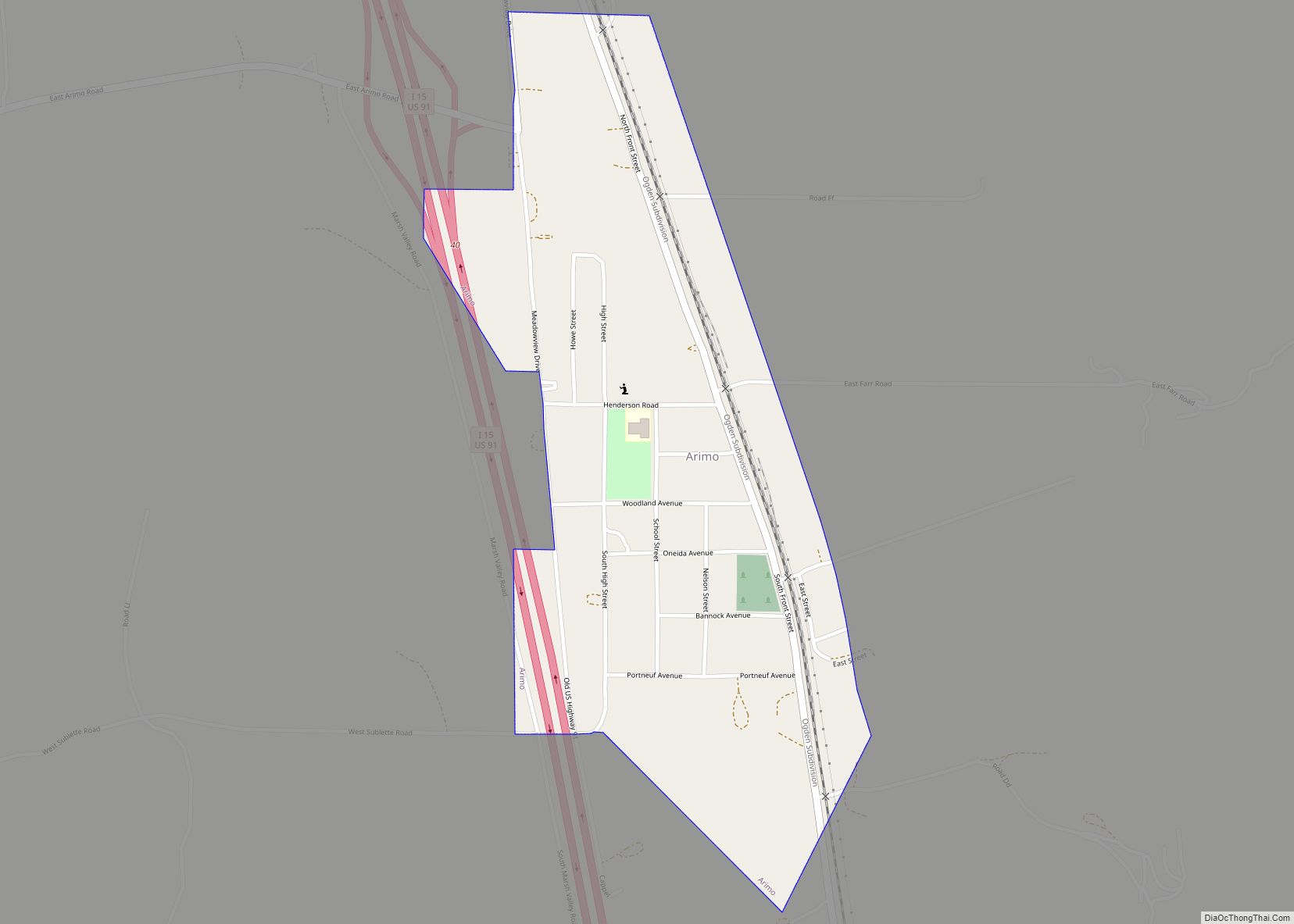
Arimo is a city in the Marsh Valley in central Bannock County, Idaho, United States, that is part of the ‘Pocatello Metropolitan Statistical Area’. The population was 355 at the 2010 census. Arimo city overview: Name: Arimo city LSAD Code: 25 LSAD Description: city (suffix) State: Idaho County: Bannock County Elevation: 4,744 ft (1,446 m) Total Area: ... Read more
