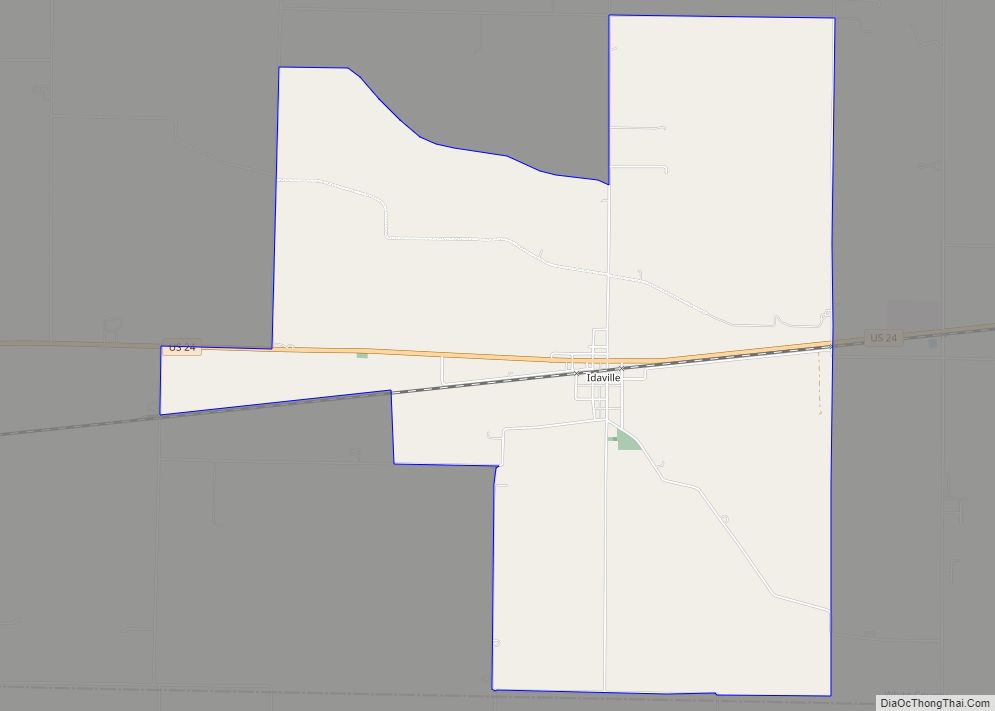
Idaville is a census-designated place in Lincoln Township, White County, in the U.S. state of Indiana. Idaville CDP overview: Name: Idaville CDP LSAD Code: 57 LSAD Description: CDP (suffix) State: Indiana County: White County Elevation: 715 ft (218 m) Total Area: 5.84 sq mi (15.11 km²) Land Area: 5.84 sq mi (15.11 km²) Water Area: 0.00 sq mi (0.00 km²) Total Population: 440 Population Density: 75.39/sq mi ... Read more
Indiana Cities and Places
Jamestown is a town in Jackson Township, Boone County and Eel River Township, Hendricks County, Indiana, United States. The population was 958 at the 2010 census. Jamestown town overview: Name: Jamestown town LSAD Code: 43 LSAD Description: town (suffix) State: Indiana County: Boone County, Hendricks County Elevation: 951 ft (290 m) Total Area: 0.90 sq mi (2.32 km²) Land Area: ... Read more
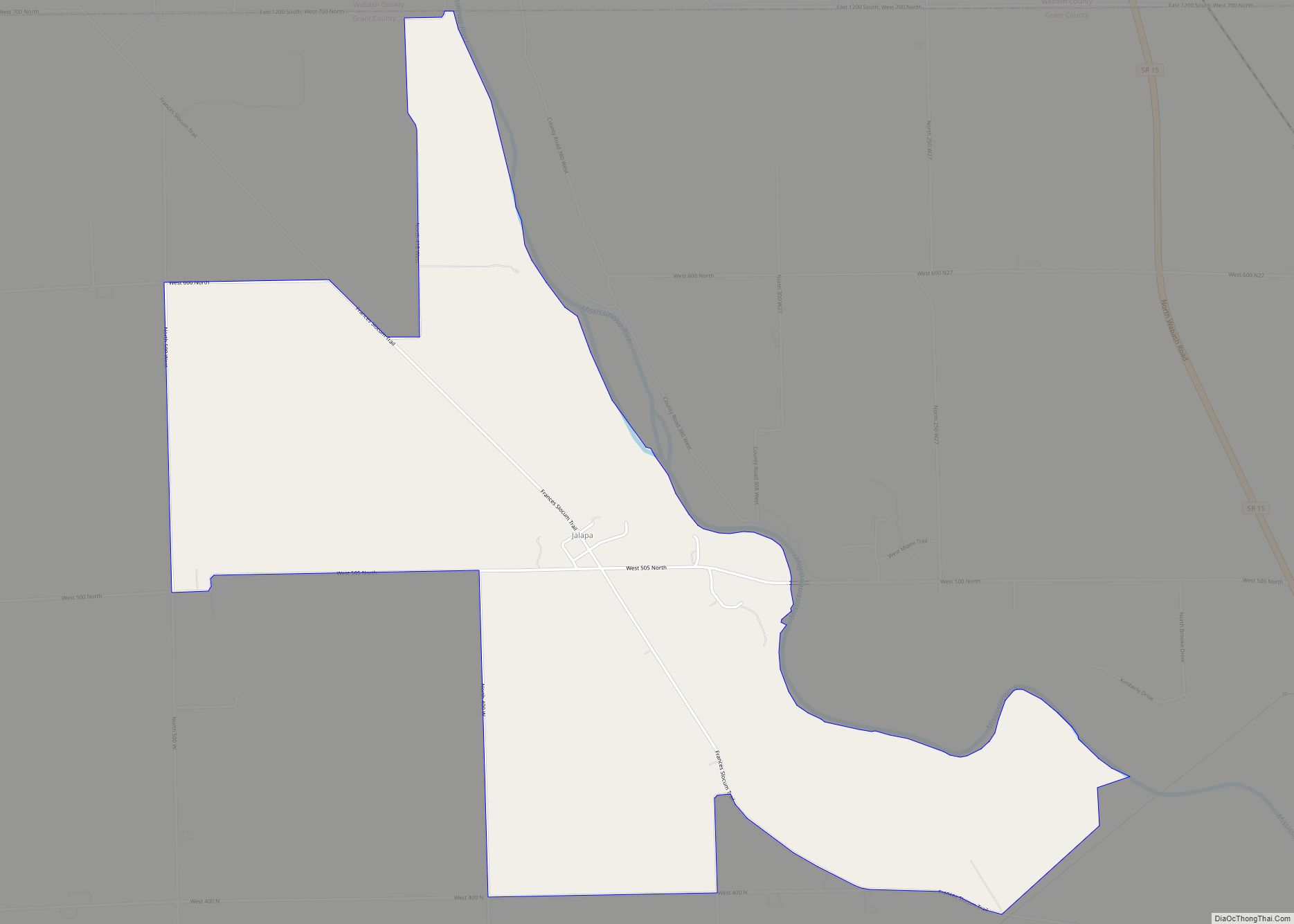
Jalapa is an unincorporated community and census-designated place (CDP) in Pleasant Township, Grant County, Indiana, United States. As of the 2010 census it had a population of 171. The site of the Battle of the Mississinewa, fought during the War of 1812, is nearby. Jalapa CDP overview: Name: Jalapa CDP LSAD Code: 57 LSAD Description: ... Read more
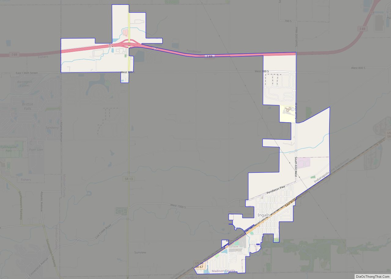
Ingalls is a town in Green Township, Madison County, Indiana, United States. It is part of the Indianapolis–Carmel–Anderson metropolitan statistical area. The population was 2,223 at the 2020 census. Ingalls town overview: Name: Ingalls town LSAD Code: 43 LSAD Description: town (suffix) State: Indiana County: Madison County Elevation: 866 ft (264 m) Total Area: 3.04 sq mi (7.88 km²) Land ... Read more
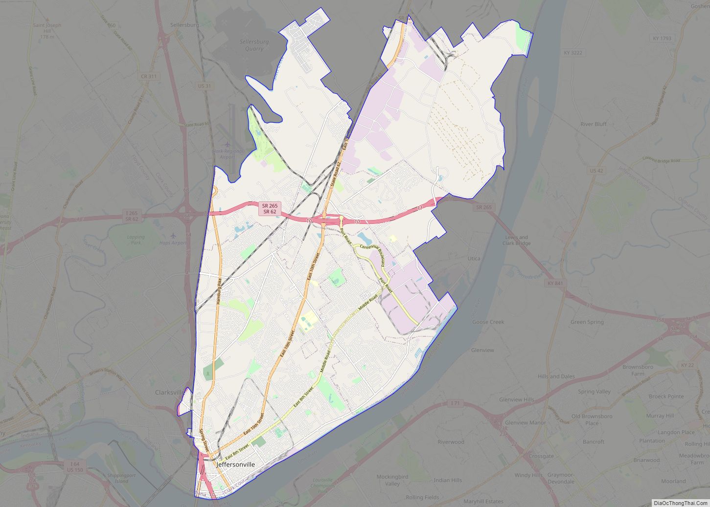
Jeffersonville is a city and the county seat of Clark County, Indiana, United States, situated along the Ohio River. Locally, the city is often referred to by the abbreviated name Jeff. It lies directly across the Ohio River to the north of Louisville, Kentucky, along I-65. The population was 49,447 at the 2020 census. Jeffersonville ... Read more
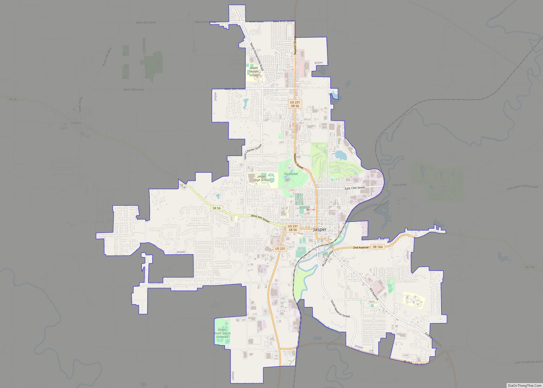
Jasper is a city in, and the county seat of, Dubois County, Indiana, United States, located along the Patoka River. The population was 16,703 at the 2020 census making it the 48th largest city in Indiana. On November 4, 2007, Dubois County returned to the Eastern Time Zone, after having moved to the Central Time ... Read more
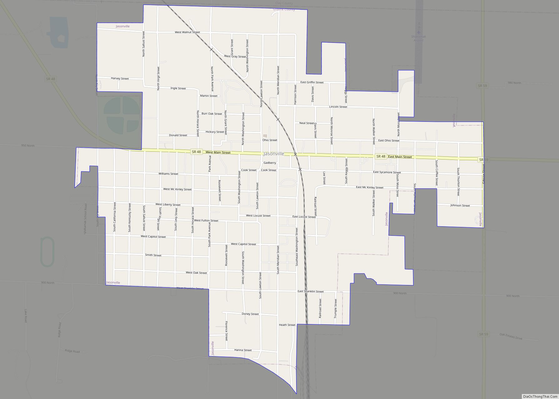
Jasonville is a city in Greene County, Indiana, United States. The population was 1,966 as of the 2020 census. It is the westernmost community in the Bloomington, Indiana, Metropolitan Statistical Area, approximately 15 miles closer to Terre Haute than to Bloomington. Jasonville city overview: Name: Jasonville city LSAD Code: 25 LSAD Description: city (suffix) State: ... Read more
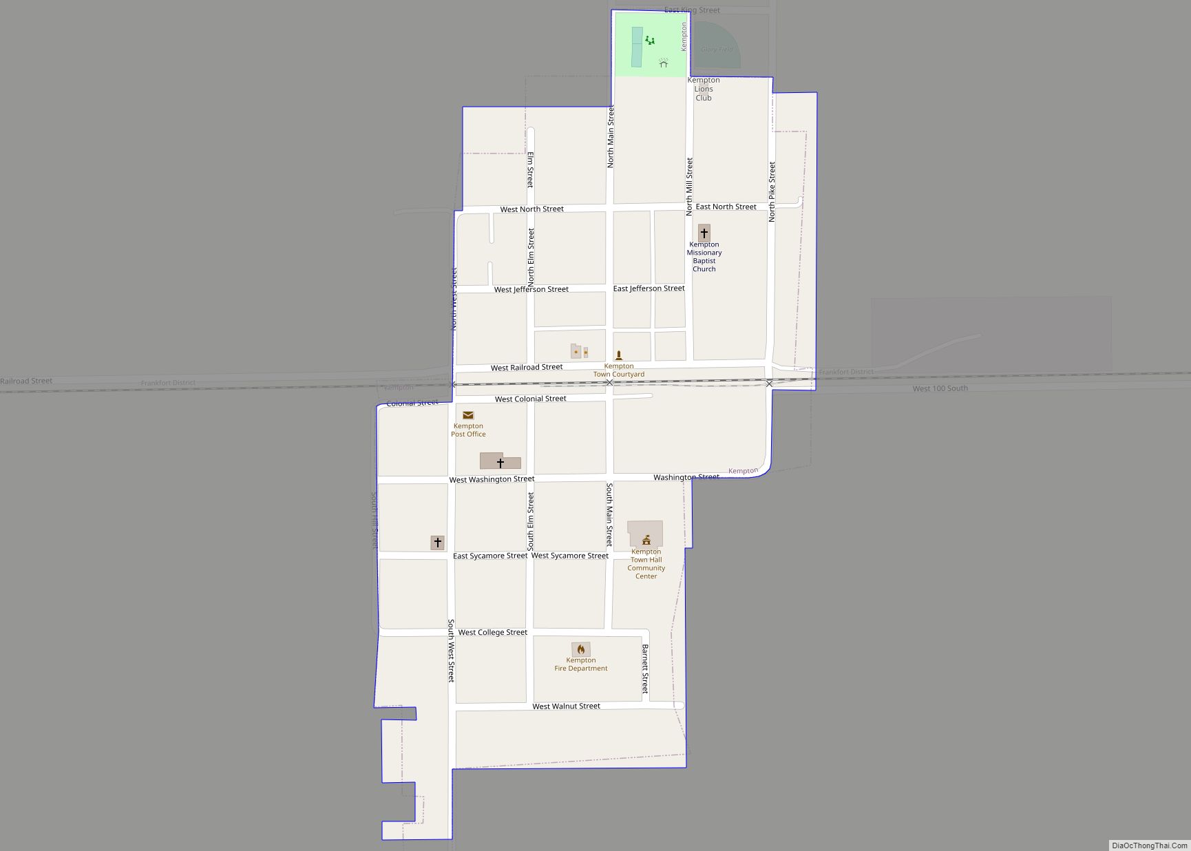
Kempton is a town in Jefferson Township, Tipton County, in the U.S. state of Indiana. The population was 335 at the 2010 census. It is part of the Kokomo, Indiana Metropolitan Statistical Area. Kempton town overview: Name: Kempton town LSAD Code: 43 LSAD Description: town (suffix) State: Indiana County: Tipton County Elevation: 919 ft (280 m) Total ... Read more
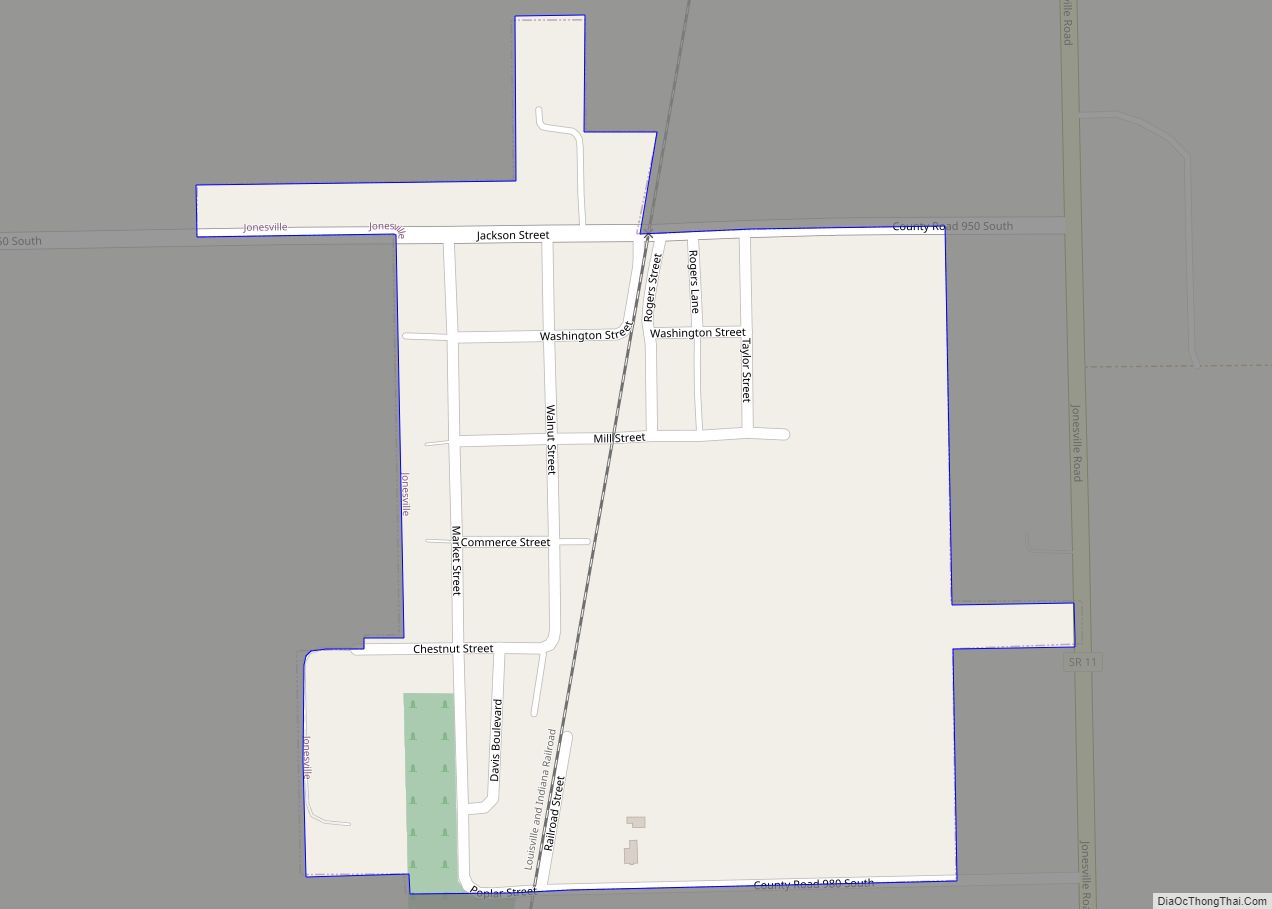
Jonesville is a town in Wayne Township, Bartholomew County, in the U.S. state of Indiana. The population was 177 at the 2010 census. It is part of the Columbus, Indiana metropolitan statistical area. Jonesville town overview: Name: Jonesville town LSAD Code: 43 LSAD Description: town (suffix) State: Indiana County: Bartholomew County Elevation: 594 ft (181 m) Total ... Read more
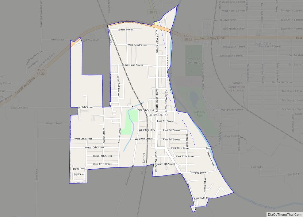
Jonesboro is a city in Grant County, Indiana, United States, located along the Mississinewa River opposite Gas City. The population was 1,756 at the 2010 census. According to the 2010 census, Jonesboro had the third smallest population of a city in Indiana. Jonesboro city overview: Name: Jonesboro city LSAD Code: 25 LSAD Description: city (suffix) ... Read more
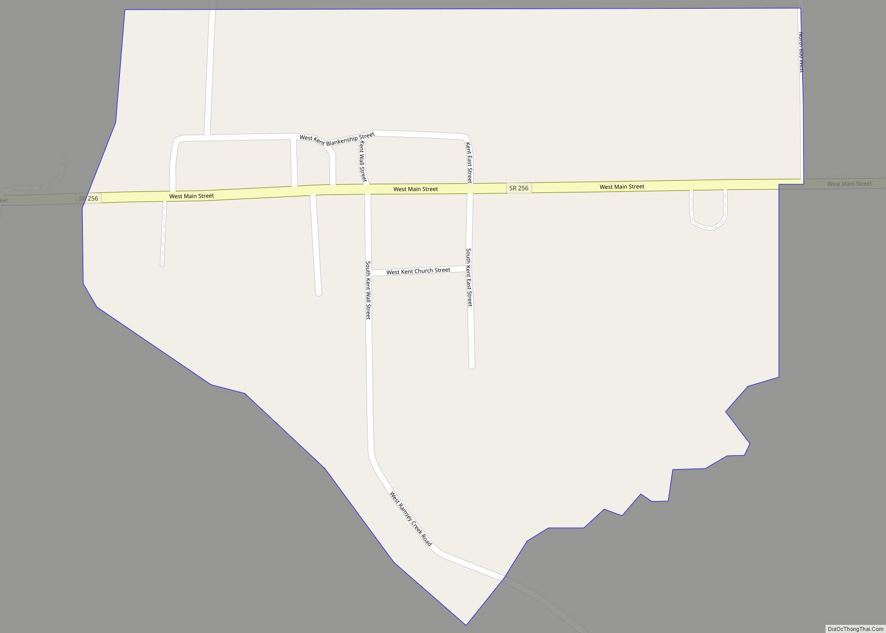
Kent is an unincorporated community and census-designated place (CDP) in Republican Township, Jefferson County, Indiana, United States. As of the 2010 census it had a population of 70. Kent CDP overview: Name: Kent CDP LSAD Code: 57 LSAD Description: CDP (suffix) State: Indiana County: Jefferson County Elevation: 712 ft (217 m) Total Area: 0.07 sq mi (0.18 km²) Land Area: ... Read more
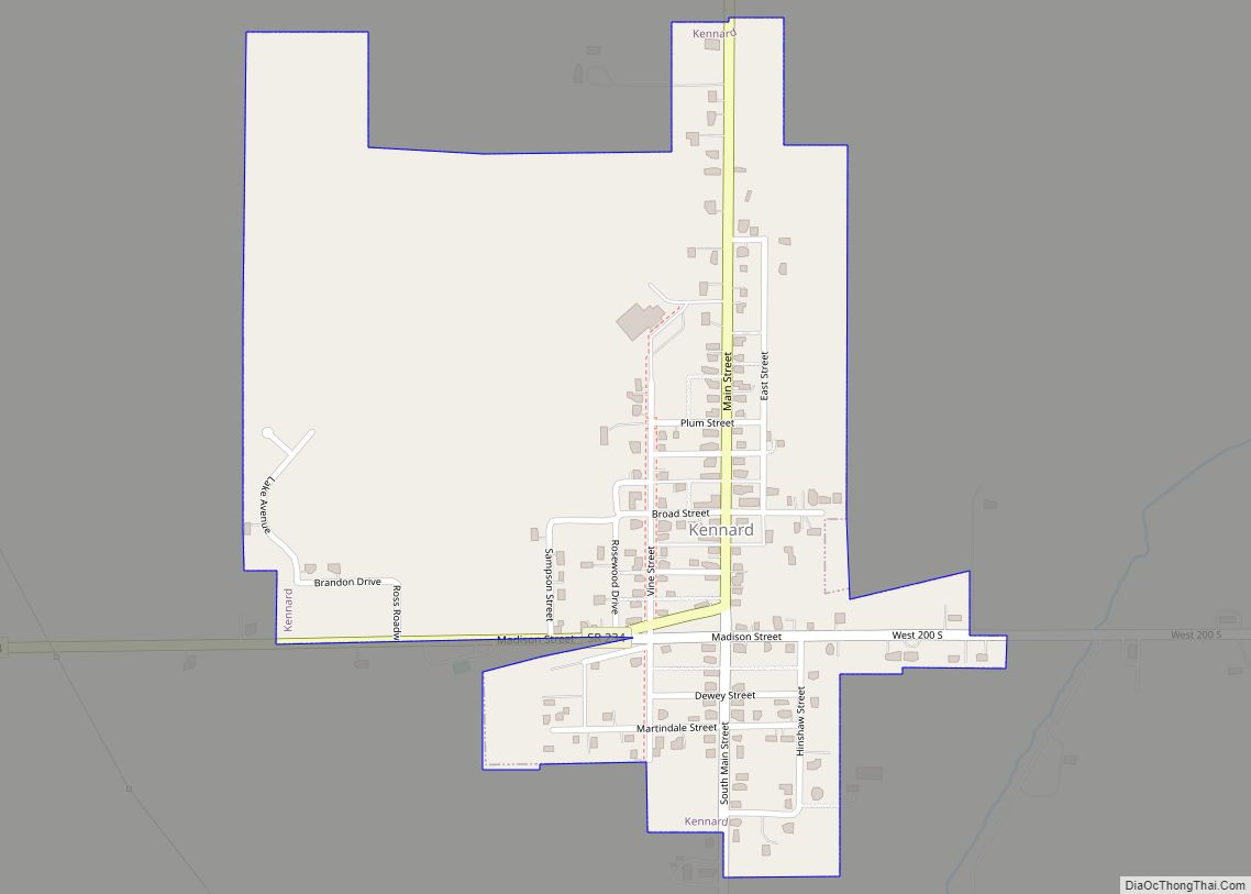
Kennard is a town in Greensboro Township, Henry County, Indiana, United States. The population was 471 at the 2010 census. Kennard town overview: Name: Kennard town LSAD Code: 43 LSAD Description: town (suffix) State: Indiana County: Henry County Elevation: 1,040 ft (317 m) Total Area: 0.42 sq mi (1.10 km²) Land Area: 0.42 sq mi (1.10 km²) Water Area: 0.00 sq mi (0.00 km²) Total Population: ... Read more
