Ingalls is a town in Green Township, Madison County, Indiana, United States. It is part of the Indianapolis–Carmel–Anderson metropolitan statistical area. The population was 2,223 at the 2020 census.
| Name: | Ingalls town |
|---|---|
| LSAD Code: | 43 |
| LSAD Description: | town (suffix) |
| State: | Indiana |
| County: | Madison County |
| Elevation: | 866 ft (264 m) |
| Total Area: | 3.04 sq mi (7.88 km²) |
| Land Area: | 3.01 sq mi (7.79 km²) |
| Water Area: | 0.04 sq mi (0.10 km²) |
| Total Population: | 2,223 |
| Population Density: | 739.52/sq mi (285.49/km²) |
| ZIP code: | 46048 |
| Area code: | 317 |
| FIPS code: | 1836342 |
| GNISfeature ID: | 0436815 |
| Website: | townofingalls.us |
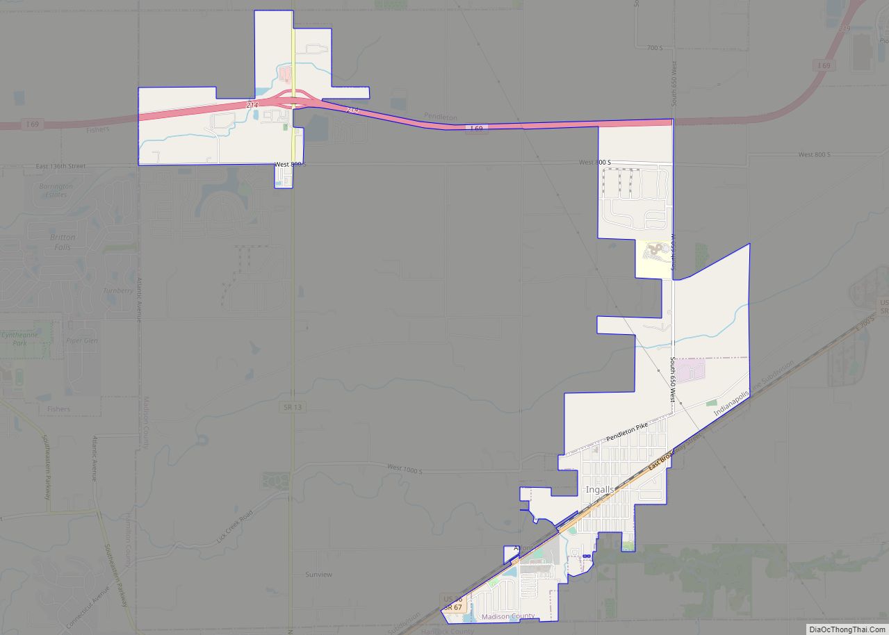
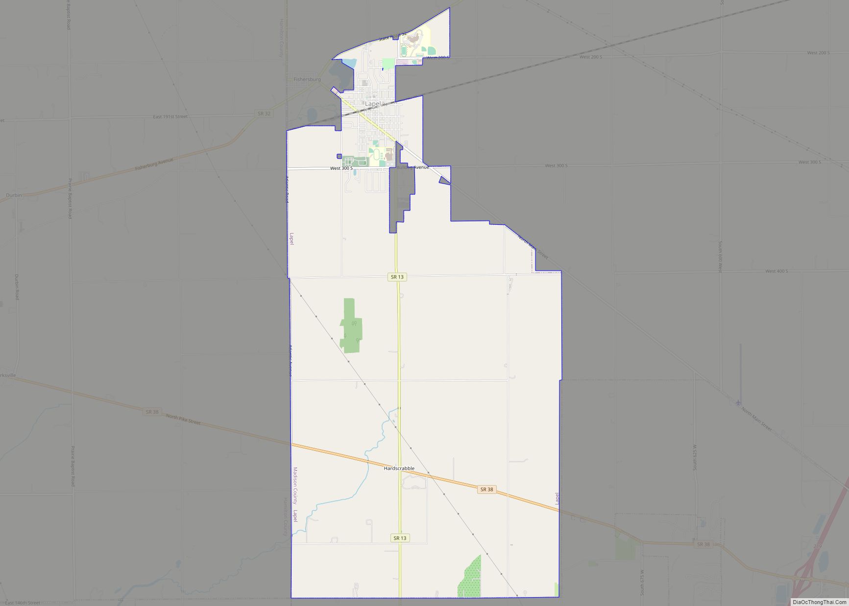
Online Interactive Map
Click on ![]() to view map in "full screen" mode.
to view map in "full screen" mode.
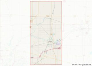
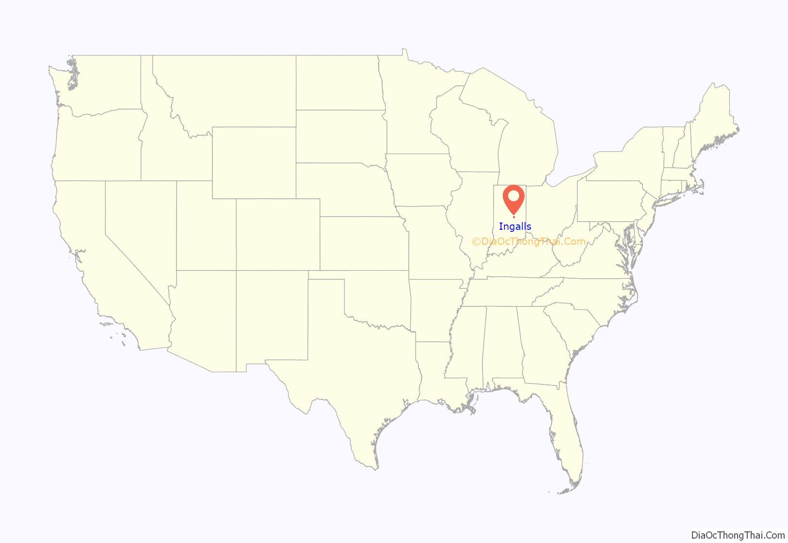
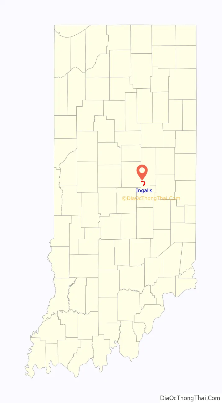
Ingalls location map. Where is Ingalls town?
History
Ingalls was platted in 1893. It was named in honor of Melville E. Ingalls, a railroad official.
Ingalls Road Map
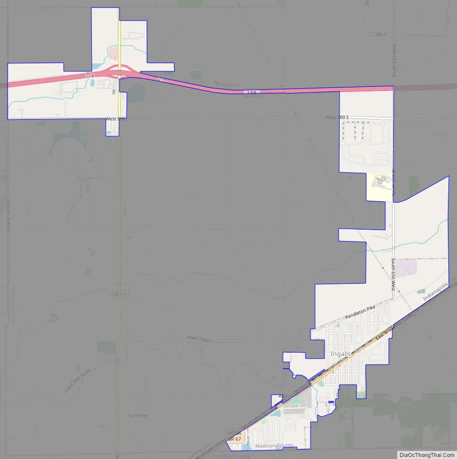
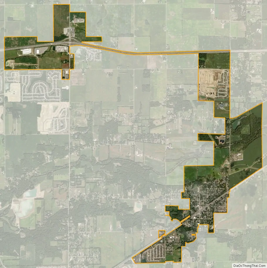
Ingalls city Satellite Map
Geography
Ingalls is located in the southwest corner of Madison County at 39°57′27″N 85°48′9″W / 39.95750°N 85.80250°W / 39.95750; -85.80250 (39.957440, -85.802397). It is bordered to the north by the towns of Pendleton and Lapel, to the west by the cities of Noblesville and Fishers in Hamilton County, and to the south by the town of Fortville in Hancock County.
U.S. Route 36 runs through the center of Ingalls as Broadway Street, leading northeast 4 miles (6 km) to the center of Pendleton and southwest 3 miles (5 km) to the center of Fortville. Interstate 69 runs through a northwestern extension of the town limits, leading northeast 12 miles (19 km) to Anderson, the Madison county seat, and southwest 26 miles (42 km) to Indianapolis.
According to the U.S. Census Bureau, Ingalls has a total area of 3.04 square miles (7.87 km), of which 0.04 square miles (0.10 km), or 1.25%, are water. Fall Creek crosses the town north of its center, flowing southwest to join the White River in downtown Indianapolis.
See also
Map of Indiana State and its subdivision:- Adams
- Allen
- Bartholomew
- Benton
- Blackford
- Boone
- Brown
- Carroll
- Cass
- Clark
- Clay
- Clinton
- Crawford
- Daviess
- De Kalb
- Dearborn
- Decatur
- Delaware
- Dubois
- Elkhart
- Fayette
- Floyd
- Fountain
- Franklin
- Fulton
- Gibson
- Grant
- Greene
- Hamilton
- Hancock
- Harrison
- Hendricks
- Henry
- Howard
- Huntington
- Jackson
- Jasper
- Jay
- Jefferson
- Jennings
- Johnson
- Knox
- Kosciusko
- LaGrange
- Lake
- Lake Michigan
- LaPorte
- Lawrence
- Madison
- Marion
- Marshall
- Martin
- Miami
- Monroe
- Montgomery
- Morgan
- Newton
- Noble
- Ohio
- Orange
- Owen
- Parke
- Perry
- Pike
- Porter
- Posey
- Pulaski
- Putnam
- Randolph
- Ripley
- Rush
- Saint Joseph
- Scott
- Shelby
- Spencer
- Starke
- Steuben
- Sullivan
- Switzerland
- Tippecanoe
- Tipton
- Union
- Vanderburgh
- Vermillion
- Vigo
- Wabash
- Warren
- Warrick
- Washington
- Wayne
- Wells
- White
- Whitley
- Alabama
- Alaska
- Arizona
- Arkansas
- California
- Colorado
- Connecticut
- Delaware
- District of Columbia
- Florida
- Georgia
- Hawaii
- Idaho
- Illinois
- Indiana
- Iowa
- Kansas
- Kentucky
- Louisiana
- Maine
- Maryland
- Massachusetts
- Michigan
- Minnesota
- Mississippi
- Missouri
- Montana
- Nebraska
- Nevada
- New Hampshire
- New Jersey
- New Mexico
- New York
- North Carolina
- North Dakota
- Ohio
- Oklahoma
- Oregon
- Pennsylvania
- Rhode Island
- South Carolina
- South Dakota
- Tennessee
- Texas
- Utah
- Vermont
- Virginia
- Washington
- West Virginia
- Wisconsin
- Wyoming