Jamestown is a town in Jackson Township, Boone County and Eel River Township, Hendricks County, Indiana, United States. The population was 958 at the 2010 census.
| Name: | Jamestown town |
|---|---|
| LSAD Code: | 43 |
| LSAD Description: | town (suffix) |
| State: | Indiana |
| County: | Boone County, Hendricks County |
| Elevation: | 951 ft (290 m) |
| Total Area: | 0.90 sq mi (2.32 km²) |
| Land Area: | 0.90 sq mi (2.32 km²) |
| Water Area: | 0.00 sq mi (0.00 km²) |
| Total Population: | 942 |
| Population Density: | 1,052.51/sq mi (406.22/km²) |
| ZIP code: | 46147 |
| Area code: | 765 |
| FIPS code: | 1837692 |
| GNISfeature ID: | 0436931 |
| Website: | http://jamestownin.com/ |
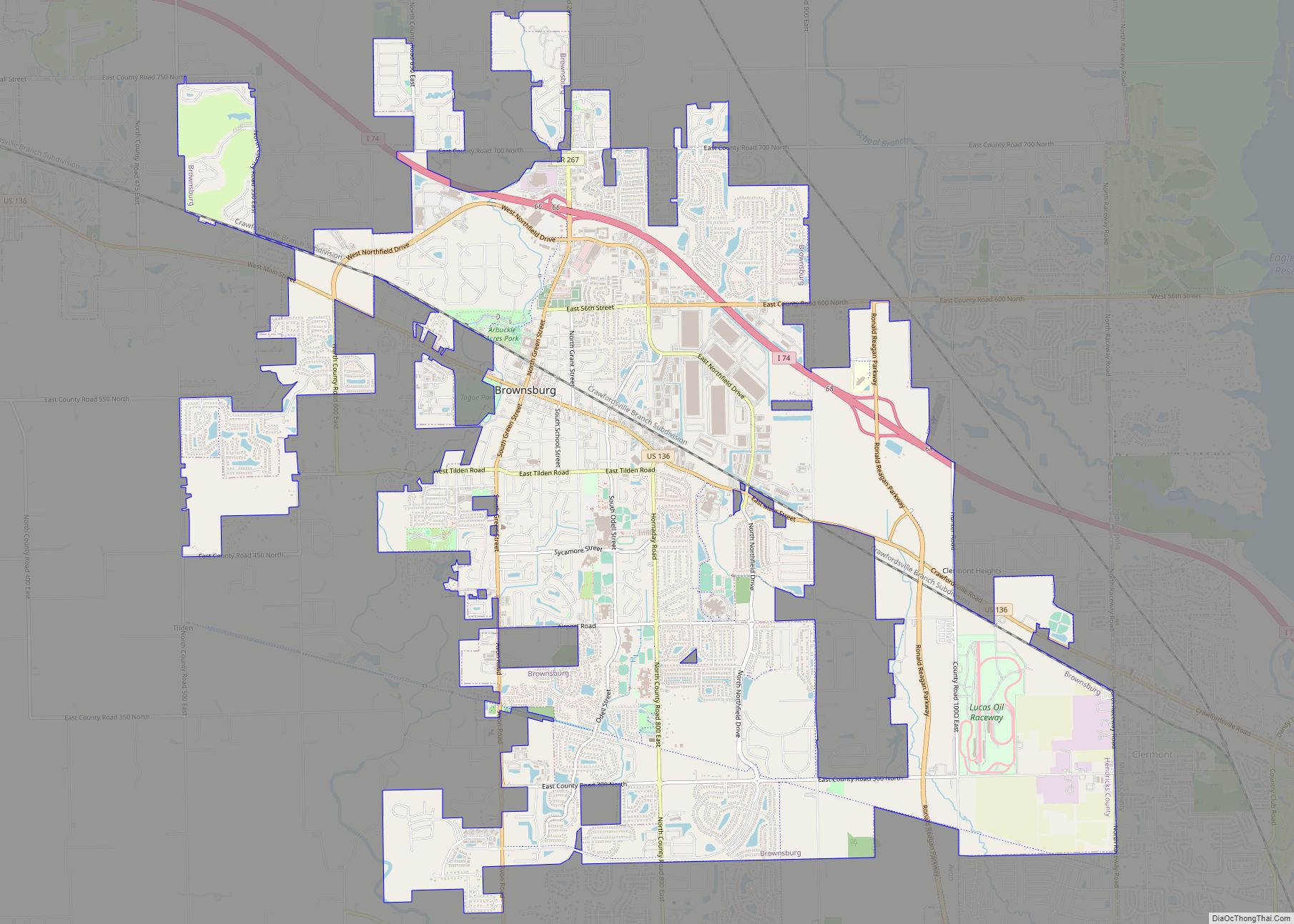
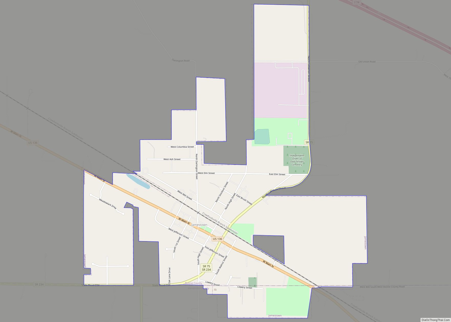
Online Interactive Map
Click on ![]() to view map in "full screen" mode.
to view map in "full screen" mode.
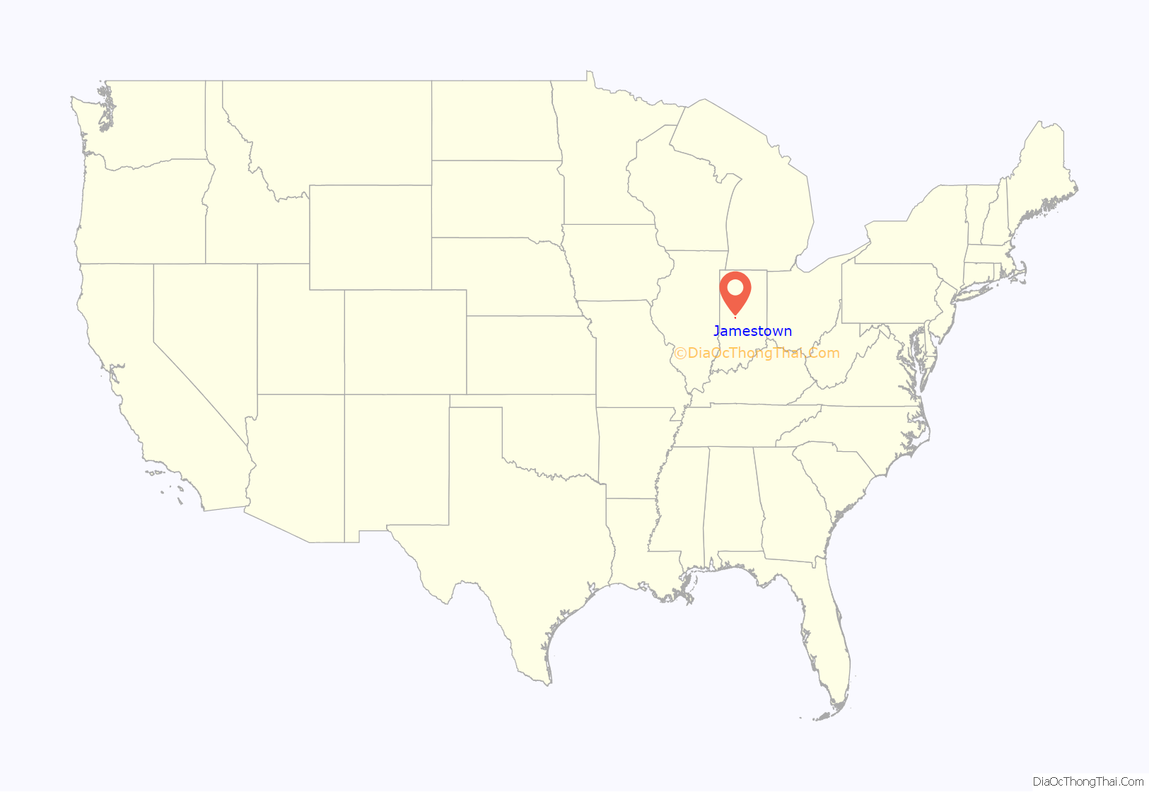
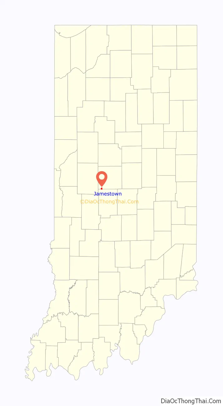
Jamestown location map. Where is Jamestown town?
History
Jamestown was established in 1830, and was platted in 1832. The town was named for its founder, James Mattock.
The town served as the original county seat of Boone County until 1831 when the legislature required that the county seat be moved towards the center of the district. In 1869, the Indianapolis, Bloomington and Western Railway (Later the Peoria and Eastern) came through the center of town on what was then Washington Street. The railroad remains today as the CSX Crawfordsville Sub and is the mainline from Indianapolis and Avon to Chicago. Additionally, Terre Haute, Indianapolis and Eastern Traction Company operated interurban service through Jamestown beginning in 1912 until its demise adjacent to the Big Four railroad, the remnants still being visible north of the railroad right of way.
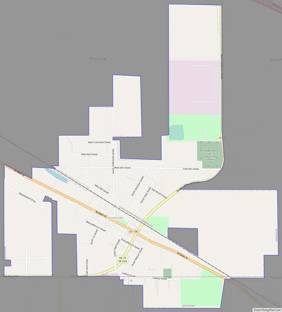
Jamestown Road Map
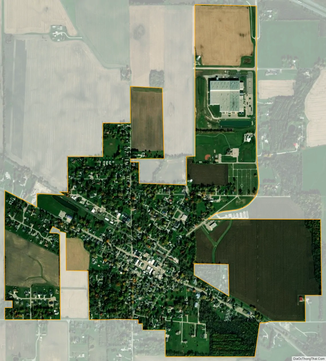
Jamestown city Satellite Map
Geography
Jamestown is located at 39°55′34″N 86°37′39″W / 39.92611°N 86.62750°W / 39.92611; -86.62750 (39.926244, -86.627460).
According to the 2010 census, Jamestown has a total area of 0.88 square miles (2.28 km), all land.
See also
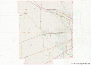
Map of Indiana State and its subdivision:- Adams
- Allen
- Bartholomew
- Benton
- Blackford
- Boone
- Brown
- Carroll
- Cass
- Clark
- Clay
- Clinton
- Crawford
- Daviess
- De Kalb
- Dearborn
- Decatur
- Delaware
- Dubois
- Elkhart
- Fayette
- Floyd
- Fountain
- Franklin
- Fulton
- Gibson
- Grant
- Greene
- Hamilton
- Hancock
- Harrison
- Hendricks
- Henry
- Howard
- Huntington
- Jackson
- Jasper
- Jay
- Jefferson
- Jennings
- Johnson
- Knox
- Kosciusko
- LaGrange
- Lake
- Lake Michigan
- LaPorte
- Lawrence
- Madison
- Marion
- Marshall
- Martin
- Miami
- Monroe
- Montgomery
- Morgan
- Newton
- Noble
- Ohio
- Orange
- Owen
- Parke
- Perry
- Pike
- Porter
- Posey
- Pulaski
- Putnam
- Randolph
- Ripley
- Rush
- Saint Joseph
- Scott
- Shelby
- Spencer
- Starke
- Steuben
- Sullivan
- Switzerland
- Tippecanoe
- Tipton
- Union
- Vanderburgh
- Vermillion
- Vigo
- Wabash
- Warren
- Warrick
- Washington
- Wayne
- Wells
- White
- Whitley
- Alabama
- Alaska
- Arizona
- Arkansas
- California
- Colorado
- Connecticut
- Delaware
- District of Columbia
- Florida
- Georgia
- Hawaii
- Idaho
- Illinois
- Indiana
- Iowa
- Kansas
- Kentucky
- Louisiana
- Maine
- Maryland
- Massachusetts
- Michigan
- Minnesota
- Mississippi
- Missouri
- Montana
- Nebraska
- Nevada
- New Hampshire
- New Jersey
- New Mexico
- New York
- North Carolina
- North Dakota
- Ohio
- Oklahoma
- Oregon
- Pennsylvania
- Rhode Island
- South Carolina
- South Dakota
- Tennessee
- Texas
- Utah
- Vermont
- Virginia
- Washington
- West Virginia
- Wisconsin
- Wyoming