Jasonville is a city in Greene County, Indiana, United States. The population was 1,966 as of the 2020 census. It is the westernmost community in the Bloomington, Indiana, Metropolitan Statistical Area, approximately 15 miles closer to Terre Haute than to Bloomington.
| Name: | Jasonville city |
|---|---|
| LSAD Code: | 25 |
| LSAD Description: | city (suffix) |
| State: | Indiana |
| County: | Greene County |
| Elevation: | 633 ft (193 m) |
| Total Area: | 1.27 sq mi (3.30 km²) |
| Land Area: | 1.27 sq mi (3.28 km²) |
| Water Area: | 0.01 sq mi (0.02 km²) |
| Total Population: | 1,983 |
| Population Density: | 1,563.88/sq mi (603.89/km²) |
| ZIP code: | 47438 |
| Area code: | 812 |
| FIPS code: | 1837764 |
| GNISfeature ID: | 0436943 |
Online Interactive Map
Click on ![]() to view map in "full screen" mode.
to view map in "full screen" mode.
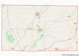
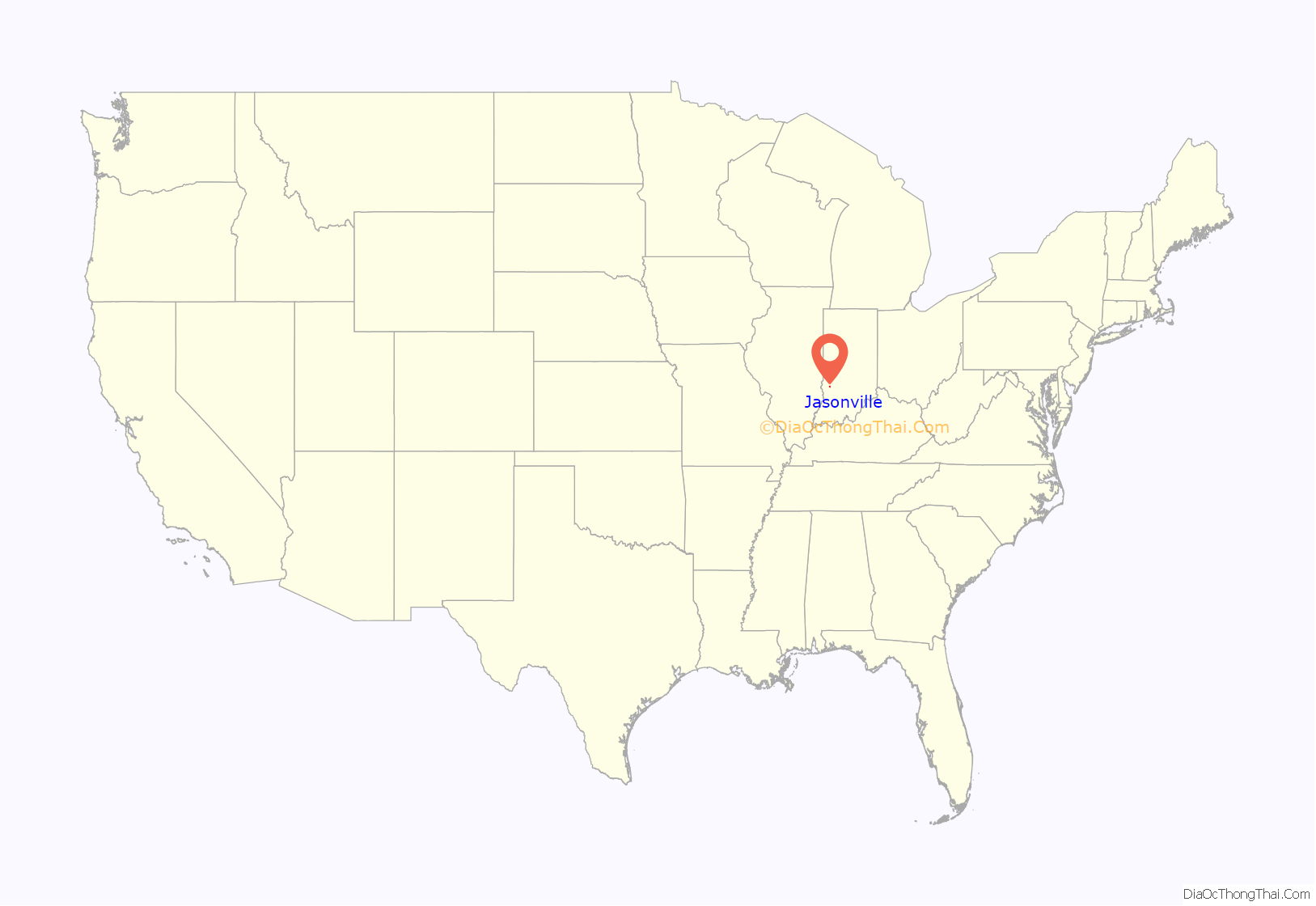
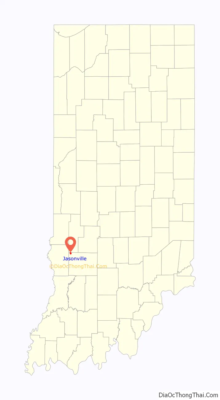
Jasonville location map. Where is Jasonville city?
History
Jasonville was founded in 1858. It was named for one of its founders, Jason Rogers.
Jasonville, Indiana, is rich in history including a big fire in 1914, a booming mining community of the past, and the establishment of Shakamak State Park. Jasonville’s motto is “Gateway to Shakamak” as Shakamak State Park is only 1 mile from the town.
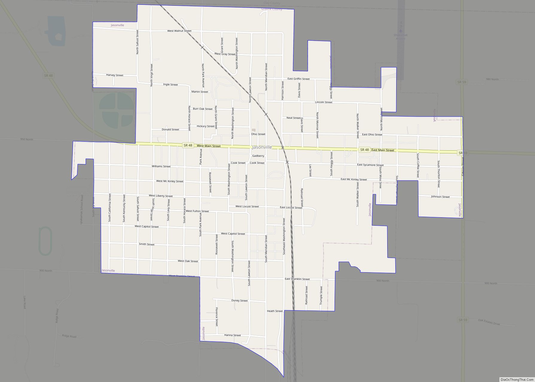
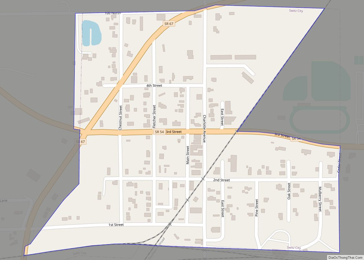
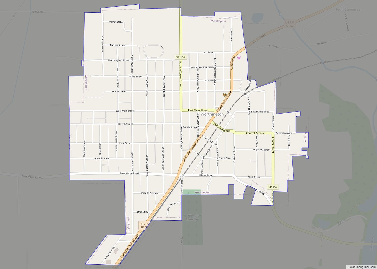
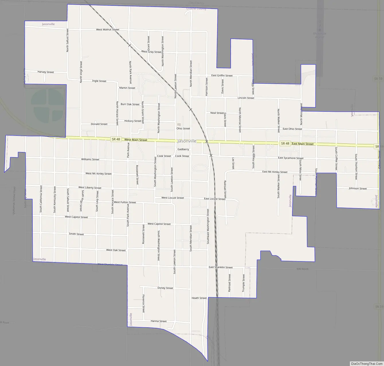
Jasonville Road Map
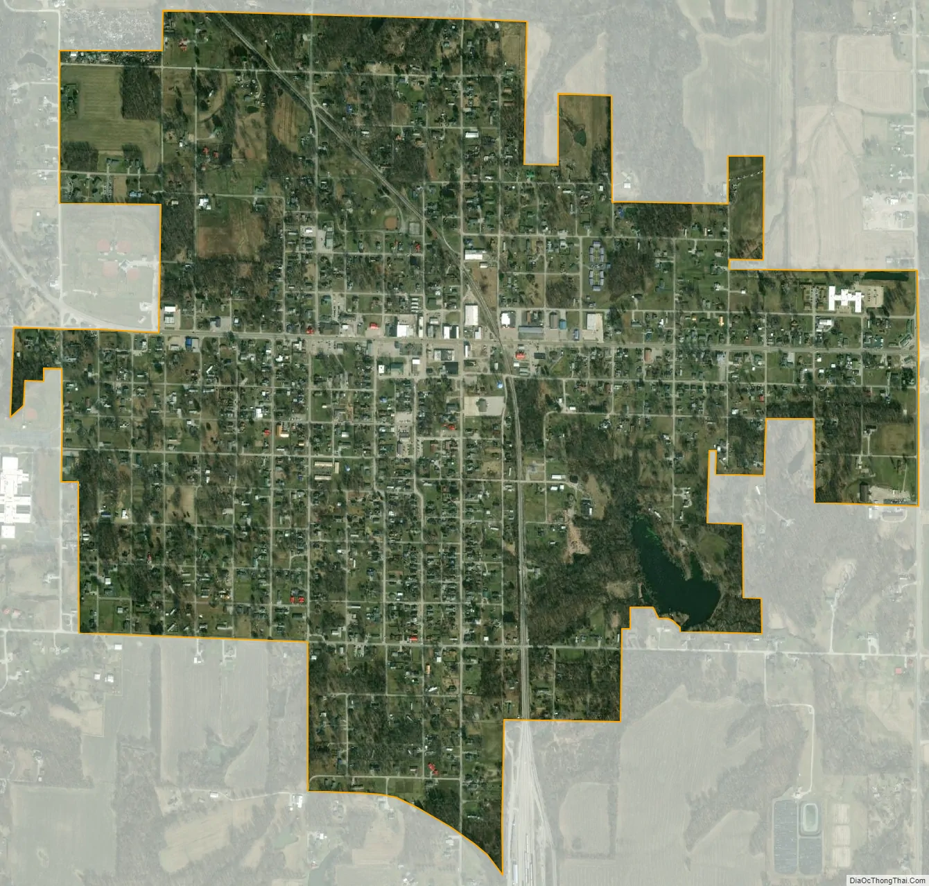
Jasonville city Satellite Map
Geography
Jasonville is located at 39°9′41″N 87°12′4″W / 39.16139°N 87.20111°W / 39.16139; -87.20111 (39.161511, -87.201027).
According to the 2010 census, Jasonville has a total area of 1.31 square miles (3.39 km), all land.
See also
Map of Indiana State and its subdivision:- Adams
- Allen
- Bartholomew
- Benton
- Blackford
- Boone
- Brown
- Carroll
- Cass
- Clark
- Clay
- Clinton
- Crawford
- Daviess
- De Kalb
- Dearborn
- Decatur
- Delaware
- Dubois
- Elkhart
- Fayette
- Floyd
- Fountain
- Franklin
- Fulton
- Gibson
- Grant
- Greene
- Hamilton
- Hancock
- Harrison
- Hendricks
- Henry
- Howard
- Huntington
- Jackson
- Jasper
- Jay
- Jefferson
- Jennings
- Johnson
- Knox
- Kosciusko
- LaGrange
- Lake
- Lake Michigan
- LaPorte
- Lawrence
- Madison
- Marion
- Marshall
- Martin
- Miami
- Monroe
- Montgomery
- Morgan
- Newton
- Noble
- Ohio
- Orange
- Owen
- Parke
- Perry
- Pike
- Porter
- Posey
- Pulaski
- Putnam
- Randolph
- Ripley
- Rush
- Saint Joseph
- Scott
- Shelby
- Spencer
- Starke
- Steuben
- Sullivan
- Switzerland
- Tippecanoe
- Tipton
- Union
- Vanderburgh
- Vermillion
- Vigo
- Wabash
- Warren
- Warrick
- Washington
- Wayne
- Wells
- White
- Whitley
- Alabama
- Alaska
- Arizona
- Arkansas
- California
- Colorado
- Connecticut
- Delaware
- District of Columbia
- Florida
- Georgia
- Hawaii
- Idaho
- Illinois
- Indiana
- Iowa
- Kansas
- Kentucky
- Louisiana
- Maine
- Maryland
- Massachusetts
- Michigan
- Minnesota
- Mississippi
- Missouri
- Montana
- Nebraska
- Nevada
- New Hampshire
- New Jersey
- New Mexico
- New York
- North Carolina
- North Dakota
- Ohio
- Oklahoma
- Oregon
- Pennsylvania
- Rhode Island
- South Carolina
- South Dakota
- Tennessee
- Texas
- Utah
- Vermont
- Virginia
- Washington
- West Virginia
- Wisconsin
- Wyoming