Kent is an unincorporated community and census-designated place (CDP) in Republican Township, Jefferson County, Indiana, United States. As of the 2010 census it had a population of 70.
| Name: | Kent CDP |
|---|---|
| LSAD Code: | 57 |
| LSAD Description: | CDP (suffix) |
| State: | Indiana |
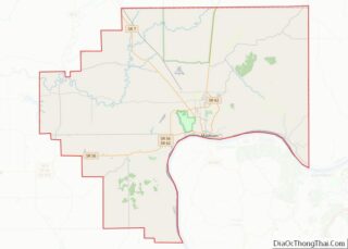
| County: | Jefferson County |
| Elevation: | 712 ft (217 m) |
| Total Area: | 0.07 sq mi (0.18 km²) |
| Land Area: | 0.07 sq mi (0.18 km²) |
| Water Area: | 0.00 sq mi (0.00 km²) |
| Total Population: | 90 |
| Population Density: | 1,323.53/sq mi (512.58/km²) |
| ZIP code: | 47250 |
| FIPS code: | 1839510 |
| GNISfeature ID: | 437251 |
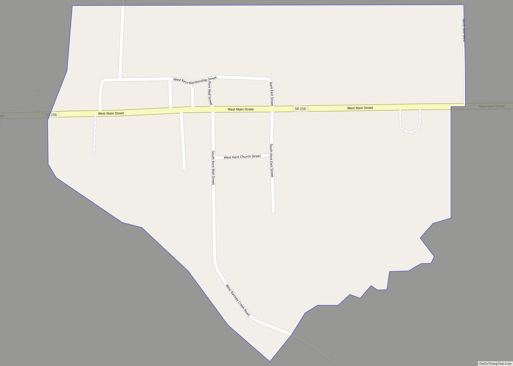
Online Interactive Map
Click on ![]() to view map in "full screen" mode.
to view map in "full screen" mode.
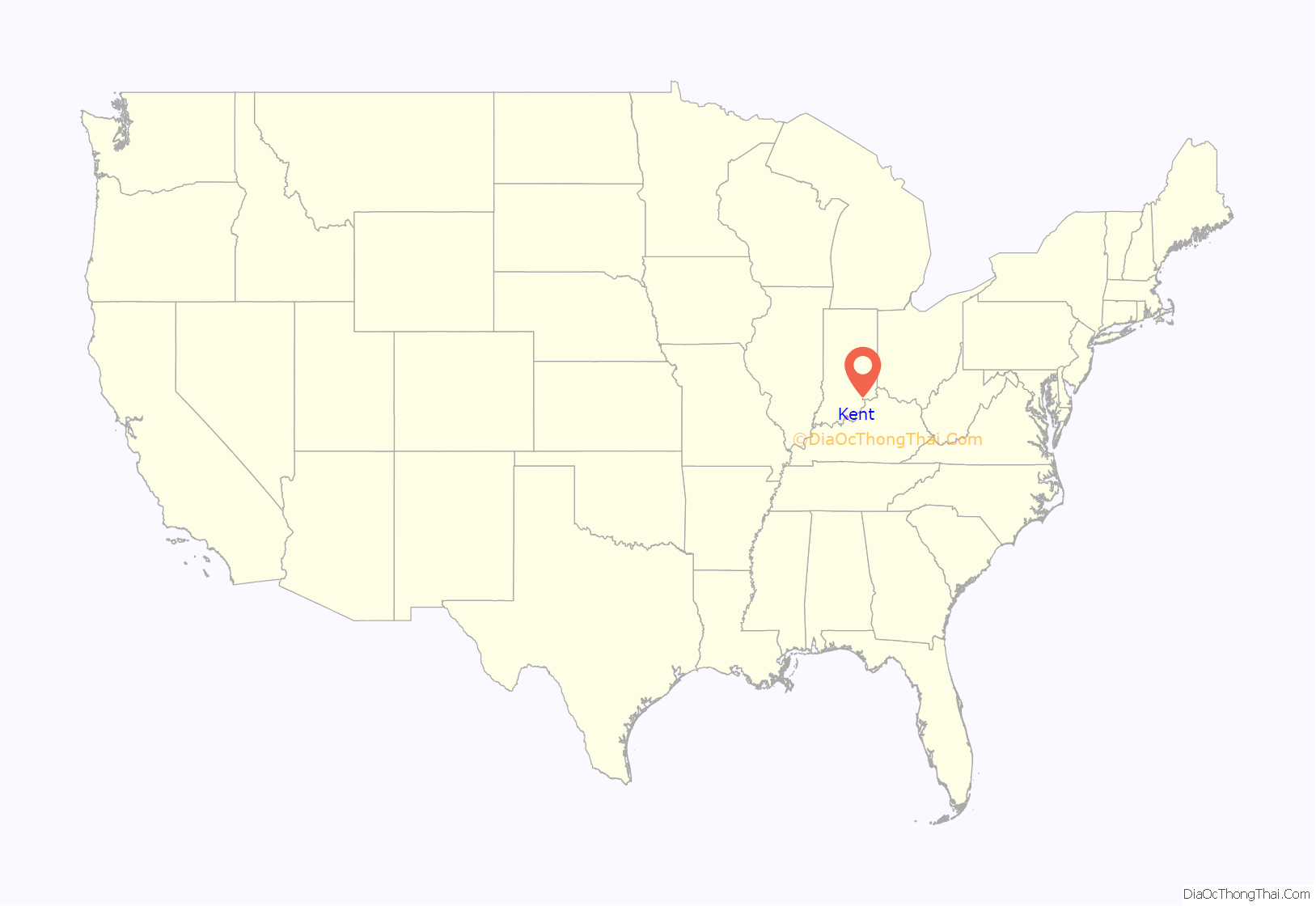
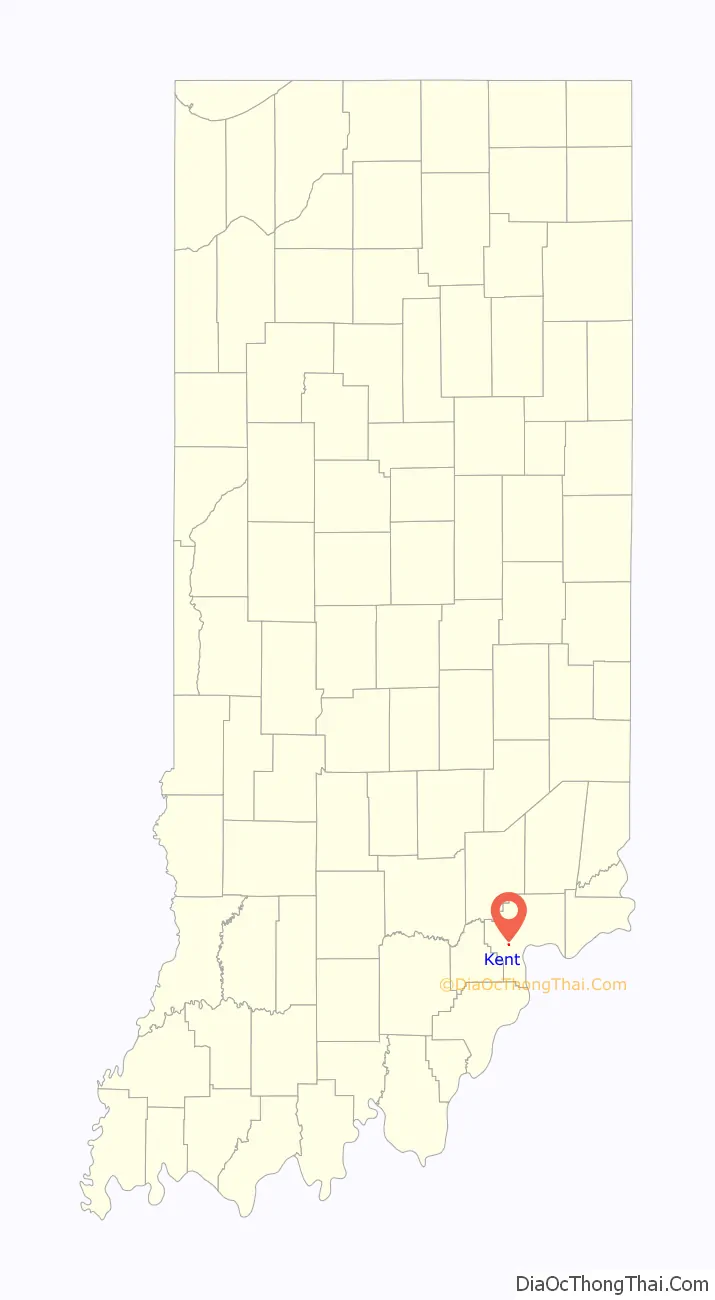
Kent location map. Where is Kent CDP?
History
Kent was platted in 1853. It was named for James Kent, a New York jurist. The Kent post office was discontinued in 1965.
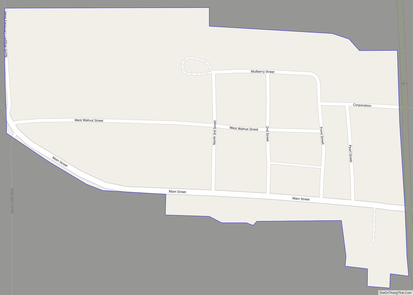
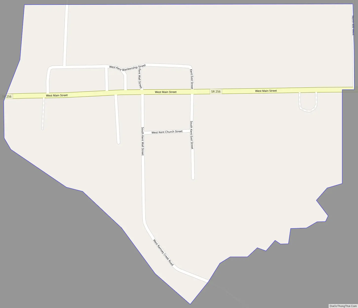
Kent Road Map
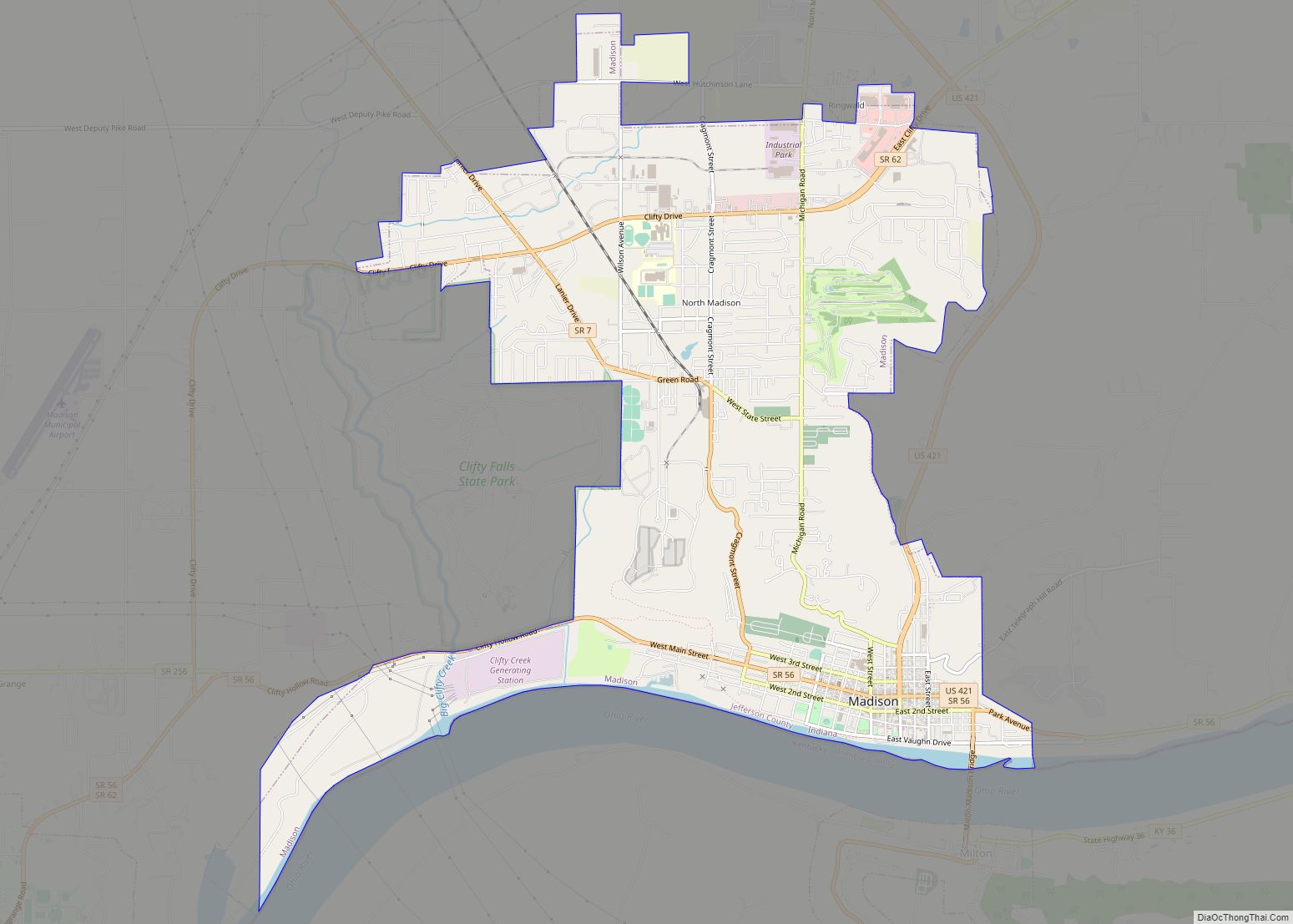
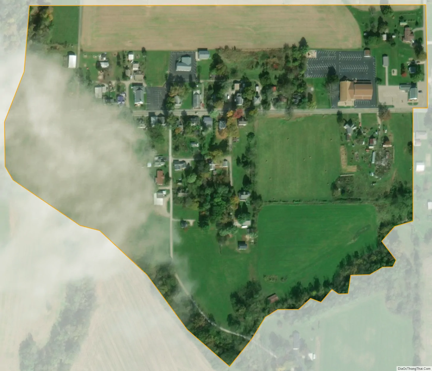
Kent city Satellite Map
Geography
Kent is located in western Jefferson County at 38°44′16″N 85°32′24″W / 38.73778°N 85.54000°W / 38.73778; -85.54000, in the northeast part of Republican Township. Indiana State Road 256 passes through the community, leading east 8 miles (13 km) to Madison, the county seat, and west 14 miles (23 km) to Austin.
According to the U.S. Census Bureau, the Kent CDP has an area of 0.10 square miles (0.27 km), all of it recorded as land. The community sits on the east side of Little Creek, a north-flowing tributary of Big Creek, a major northwest-flowing tributary of the Muscatatuck River, which is part of the White River watershed.
See also
Map of Indiana State and its subdivision:- Adams
- Allen
- Bartholomew
- Benton
- Blackford
- Boone
- Brown
- Carroll
- Cass
- Clark
- Clay
- Clinton
- Crawford
- Daviess
- De Kalb
- Dearborn
- Decatur
- Delaware
- Dubois
- Elkhart
- Fayette
- Floyd
- Fountain
- Franklin
- Fulton
- Gibson
- Grant
- Greene
- Hamilton
- Hancock
- Harrison
- Hendricks
- Henry
- Howard
- Huntington
- Jackson
- Jasper
- Jay
- Jefferson
- Jennings
- Johnson
- Knox
- Kosciusko
- LaGrange
- Lake
- Lake Michigan
- LaPorte
- Lawrence
- Madison
- Marion
- Marshall
- Martin
- Miami
- Monroe
- Montgomery
- Morgan
- Newton
- Noble
- Ohio
- Orange
- Owen
- Parke
- Perry
- Pike
- Porter
- Posey
- Pulaski
- Putnam
- Randolph
- Ripley
- Rush
- Saint Joseph
- Scott
- Shelby
- Spencer
- Starke
- Steuben
- Sullivan
- Switzerland
- Tippecanoe
- Tipton
- Union
- Vanderburgh
- Vermillion
- Vigo
- Wabash
- Warren
- Warrick
- Washington
- Wayne
- Wells
- White
- Whitley
- Alabama
- Alaska
- Arizona
- Arkansas
- California
- Colorado
- Connecticut
- Delaware
- District of Columbia
- Florida
- Georgia
- Hawaii
- Idaho
- Illinois
- Indiana
- Iowa
- Kansas
- Kentucky
- Louisiana
- Maine
- Maryland
- Massachusetts
- Michigan
- Minnesota
- Mississippi
- Missouri
- Montana
- Nebraska
- Nevada
- New Hampshire
- New Jersey
- New Mexico
- New York
- North Carolina
- North Dakota
- Ohio
- Oklahoma
- Oregon
- Pennsylvania
- Rhode Island
- South Carolina
- South Dakota
- Tennessee
- Texas
- Utah
- Vermont
- Virginia
- Washington
- West Virginia
- Wisconsin
- Wyoming