Jasper is a city in, and the county seat of, Dubois County, Indiana, United States, located along the Patoka River. The population was 16,703 at the 2020 census making it the 48th largest city in Indiana. On November 4, 2007, Dubois County returned to the Eastern Time Zone, after having moved to the Central Time Zone the previous year. Land use in the area is primarily agricultural. The Indiana Baseball Hall of Fame, which honors players and others associated with the national pastime who were born or lived in Indiana, is located in Jasper.
| Name: | Jasper city |
|---|---|
| LSAD Code: | 25 |
| LSAD Description: | city (suffix) |
| State: | Indiana |
| County: | Dubois County |
| Founded: | 1818 |
| Elevation: | 466 ft (142 m) |
| Total Area: | 13.34 sq mi (34.55 km²) |
| Land Area: | 13.25 sq mi (34.32 km²) |
| Water Area: | 0.09 sq mi (0.23 km²) |
| Total Population: | 16,703 |
| Population Density: | 1,260.51/sq mi (486.68/km²) |
| ZIP code: | 47546, 47547, 47549 |
| Area code: | 812 & 930 |
| FIPS code: | 1837782 |
| GNISfeature ID: | 2395458 |
| Website: | http://www.jasperindiana.gov |
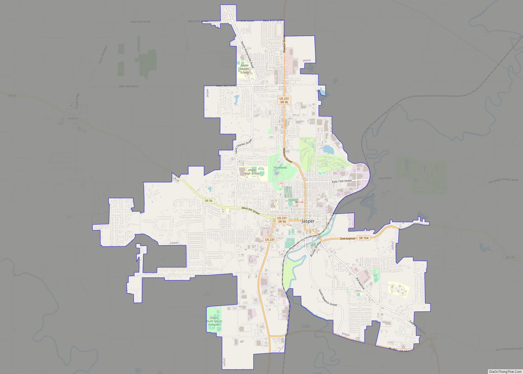
Online Interactive Map
Click on ![]() to view map in "full screen" mode.
to view map in "full screen" mode.
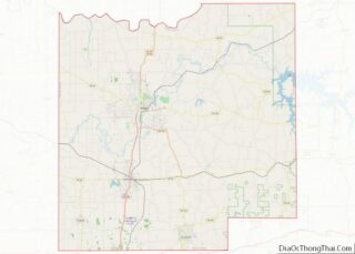
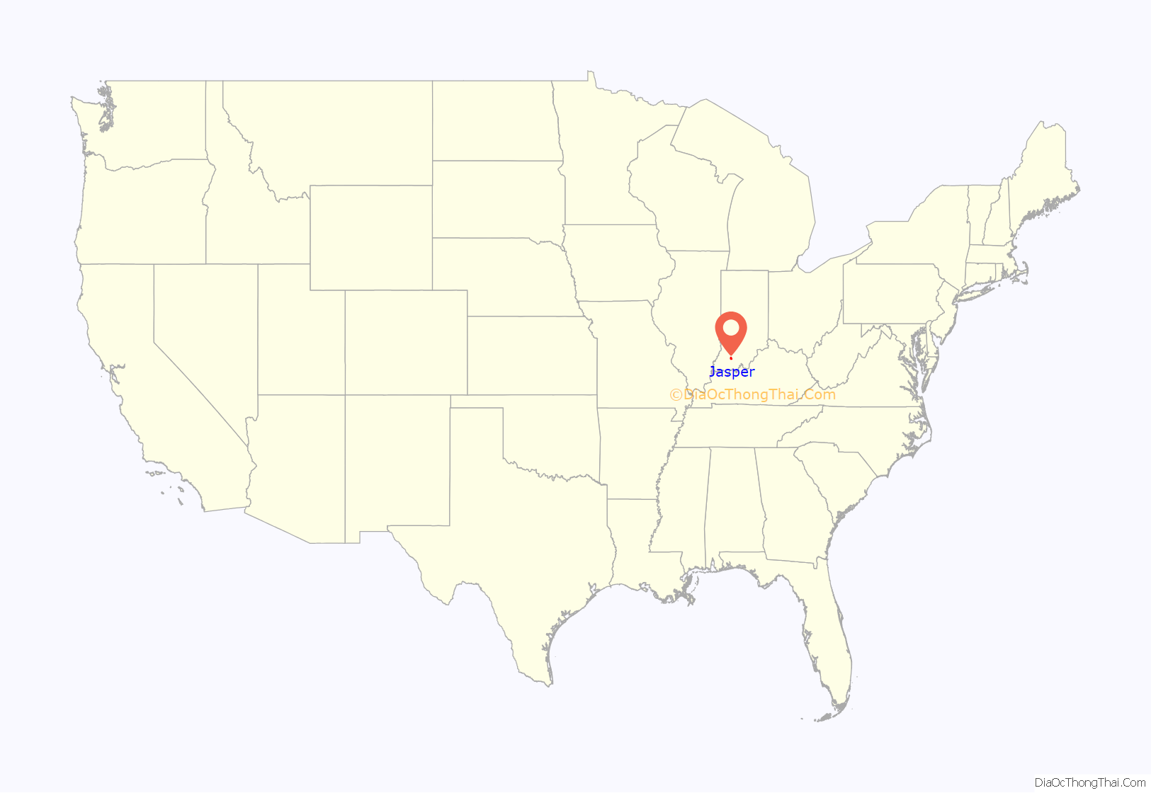
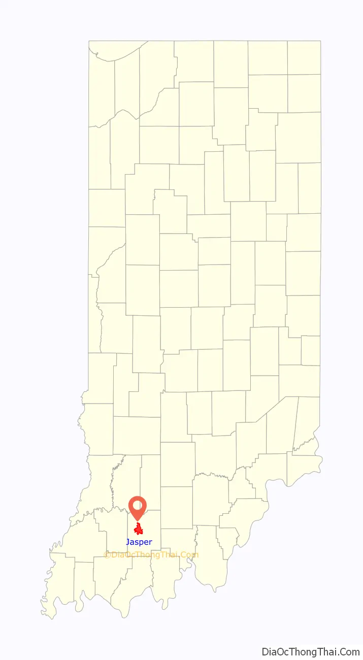
Jasper location map. Where is Jasper city?
History
Jasper was founded in 1818. The Enlow family were the first settlers of the town. Jasper was originally going to be named “Eleanor” after the wife of early settler Joseph Enlow, but she opted to suggest a name herself, and named the city after a passage in the Bible (Revelation 21:19).
Jasper was not officially platted until 1830. That year, the community became the new county seat of Dubois County, succeeding Portersville.
The Jasper post office has been in operation since 1832. During the New Deal era, Jessie Hull Mayer won a federal commission to paint a mural as part of the Section of Painting and Sculpture′s projects, later called the Section of Fine Arts, of the Treasury Department. Indiana Farming Scene in Late Autumn depicts a harvest scene on a farmstead, with no indication of the town. In 1975, the painting was featured as part of a film, Art for Main Street: The Indiana Post Office Murals, produced by the Indiana Historical Society.
Jasper was incorporated as a town in 1866, and was incorporated into a city in 1915.
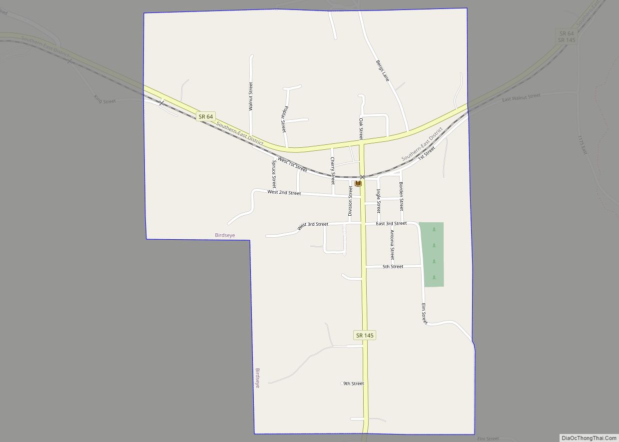
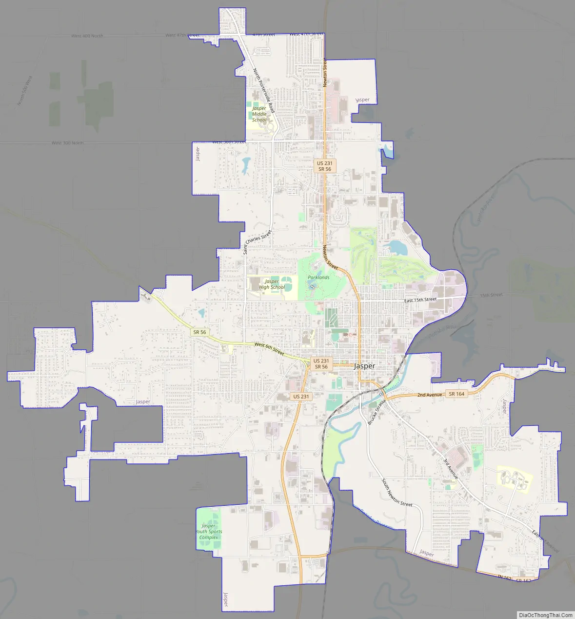
Jasper Road Map
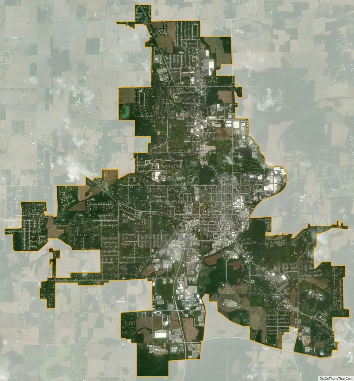
Jasper city Satellite Map
Geography
According to the 2010 census, Jasper has a total area of 13.191 square miles (34.16 km), of which 13.1 square miles (33.93 km) (or 99.31%) is land and 0.091 square miles (0.24 km) (or 0.69%) is water.
The city is located in the townships of Bainbridge, Madison and Boone.
Climate
The climate in this area is characterized by hot, humid summers and generally cool winters. According to the Köppen Climate Classification system, Jasper, IN has a humid subtropical climate, abbreviated “Cfa” on climate maps.
See also
Map of Indiana State and its subdivision:- Adams
- Allen
- Bartholomew
- Benton
- Blackford
- Boone
- Brown
- Carroll
- Cass
- Clark
- Clay
- Clinton
- Crawford
- Daviess
- De Kalb
- Dearborn
- Decatur
- Delaware
- Dubois
- Elkhart
- Fayette
- Floyd
- Fountain
- Franklin
- Fulton
- Gibson
- Grant
- Greene
- Hamilton
- Hancock
- Harrison
- Hendricks
- Henry
- Howard
- Huntington
- Jackson
- Jasper
- Jay
- Jefferson
- Jennings
- Johnson
- Knox
- Kosciusko
- LaGrange
- Lake
- Lake Michigan
- LaPorte
- Lawrence
- Madison
- Marion
- Marshall
- Martin
- Miami
- Monroe
- Montgomery
- Morgan
- Newton
- Noble
- Ohio
- Orange
- Owen
- Parke
- Perry
- Pike
- Porter
- Posey
- Pulaski
- Putnam
- Randolph
- Ripley
- Rush
- Saint Joseph
- Scott
- Shelby
- Spencer
- Starke
- Steuben
- Sullivan
- Switzerland
- Tippecanoe
- Tipton
- Union
- Vanderburgh
- Vermillion
- Vigo
- Wabash
- Warren
- Warrick
- Washington
- Wayne
- Wells
- White
- Whitley
- Alabama
- Alaska
- Arizona
- Arkansas
- California
- Colorado
- Connecticut
- Delaware
- District of Columbia
- Florida
- Georgia
- Hawaii
- Idaho
- Illinois
- Indiana
- Iowa
- Kansas
- Kentucky
- Louisiana
- Maine
- Maryland
- Massachusetts
- Michigan
- Minnesota
- Mississippi
- Missouri
- Montana
- Nebraska
- Nevada
- New Hampshire
- New Jersey
- New Mexico
- New York
- North Carolina
- North Dakota
- Ohio
- Oklahoma
- Oregon
- Pennsylvania
- Rhode Island
- South Carolina
- South Dakota
- Tennessee
- Texas
- Utah
- Vermont
- Virginia
- Washington
- West Virginia
- Wisconsin
- Wyoming