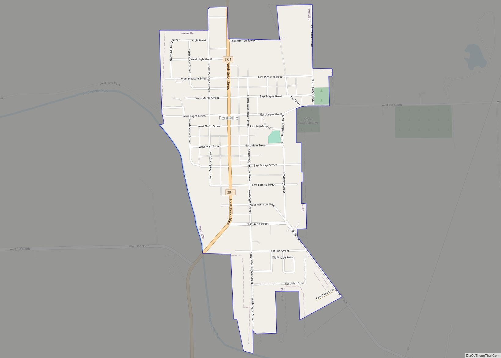
Pennville is a town in Penn Township, Jay County, Indiana, United States. The population was 701 at the 2010 census. Pennville town overview: Name: Pennville town LSAD Code: 43 LSAD Description: town (suffix) State: Indiana County: Jay County Elevation: 879 ft (268 m) Total Area: 0.50 sq mi (1.29 km²) Land Area: 0.50 sq mi (1.29 km²) Water Area: 0.00 sq mi (0.00 km²) Total Population: ... Read more
Indiana Cities and Places
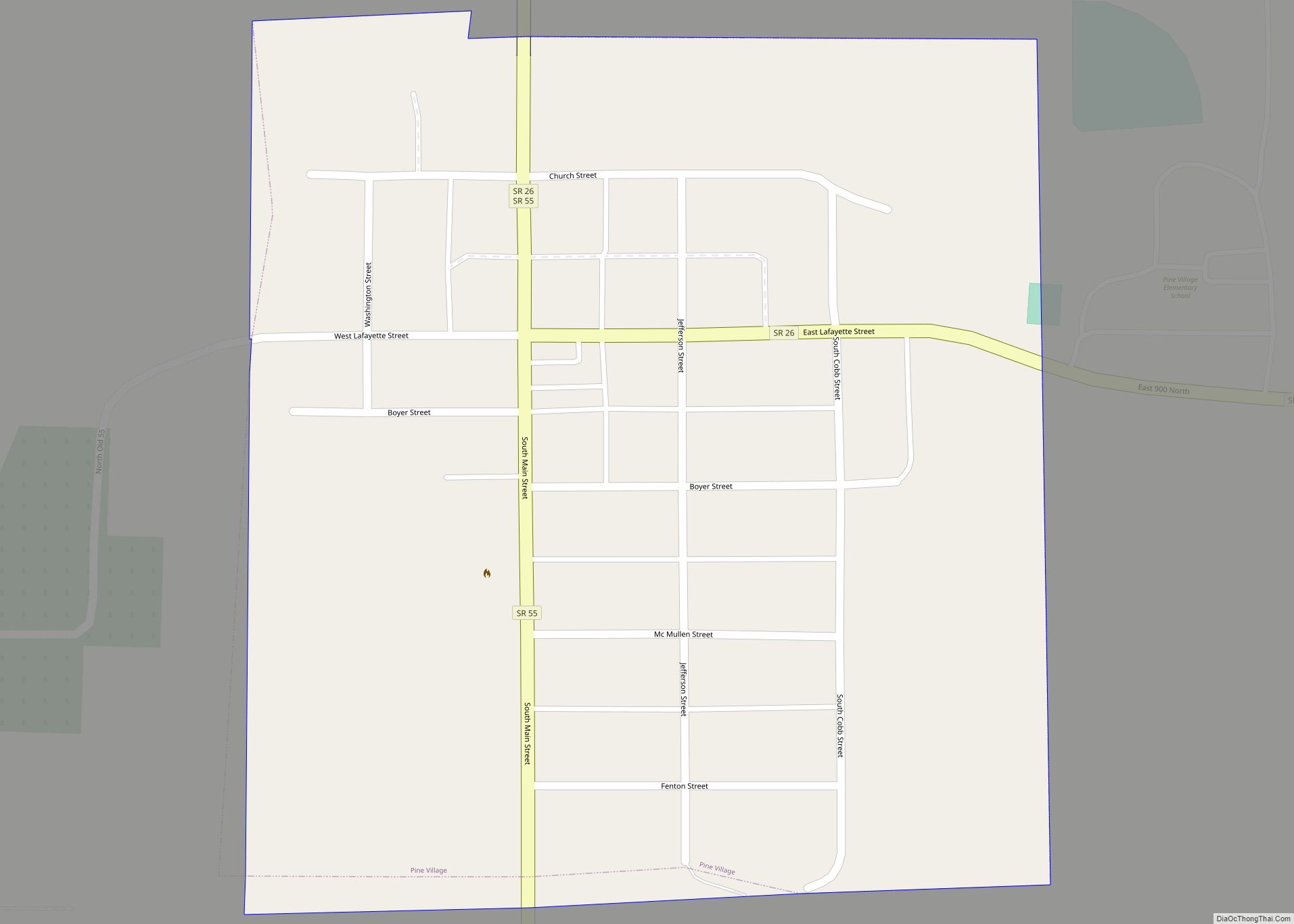
Pine Village is a town in Adams Township, Warren County, in the U.S. state of Indiana. The population was 217 at the 2010 census. Pine Village town overview: Name: Pine Village town LSAD Code: 43 LSAD Description: town (suffix) State: Indiana County: Warren County Founded: 1851 Elevation: 692 ft (211 m) Total Area: 0.12 sq mi (0.31 km²) Land Area: ... Read more
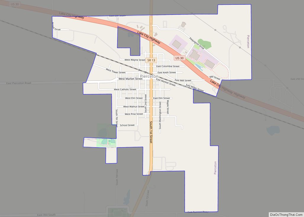
Pierceton is a town in Washington Township, Kosciusko County, in the U.S. state of Indiana. The population was 1,015 at the 2010 census. Pierceton town overview: Name: Pierceton town LSAD Code: 43 LSAD Description: town (suffix) State: Indiana County: Kosciusko County Elevation: 928 ft (283 m) Total Area: 1.25 sq mi (3.23 km²) Land Area: 1.25 sq mi (3.23 km²) Water Area: 0.00 sq mi ... Read more
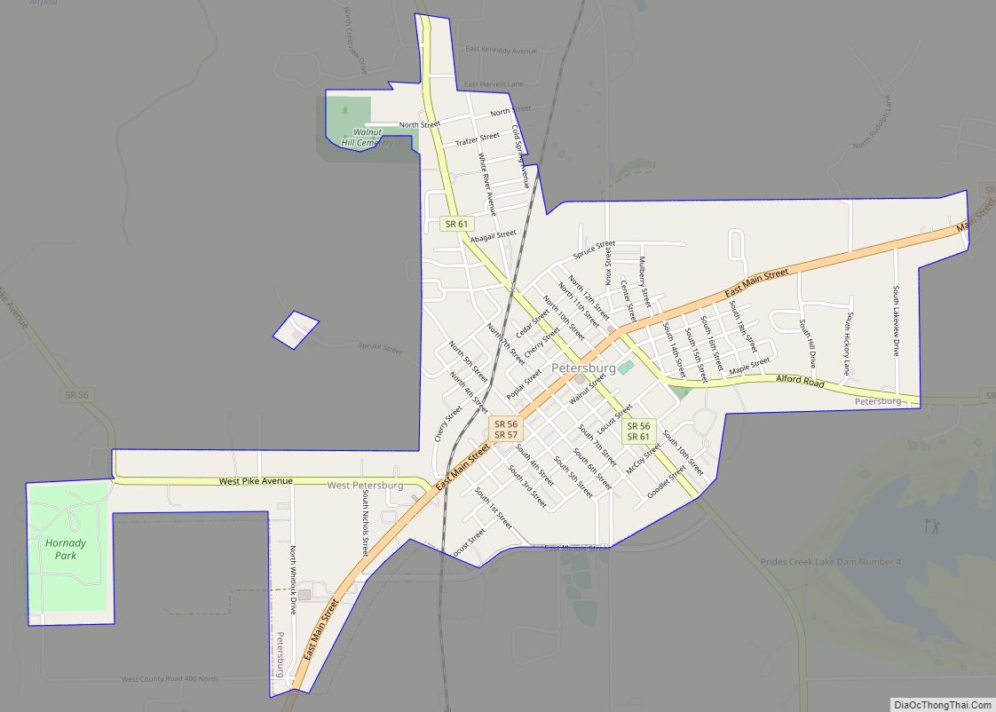
Petersburg is a city within Washington Township and the county seat of Pike County, in the U.S. state of Indiana. The population was 2,383 at the 2010 census. Petersburg is part of the Jasper Micropolitan Statistical Area. Petersburg city overview: Name: Petersburg city LSAD Code: 25 LSAD Description: city (suffix) State: Indiana County: Pike County ... Read more
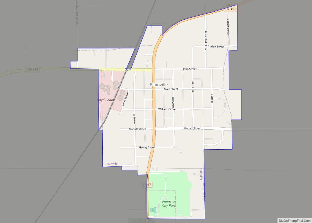
Plainville is a town in Steele Township, Daviess County, Indiana, United States. The population was 476 at the 2010 census. The former high school mascot was the Plainville Midgets. Plainville town overview: Name: Plainville town LSAD Code: 43 LSAD Description: town (suffix) State: Indiana County: Daviess County Elevation: 472 ft (144 m) Total Area: 0.34 sq mi (0.89 km²) Land ... Read more
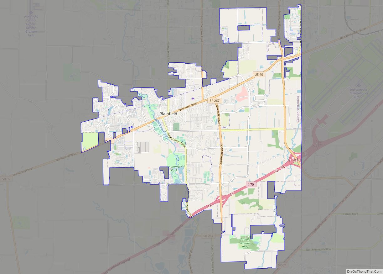
Plainfield is a town in Guilford, Liberty, and Washington townships, Hendricks County, Indiana, United States. The population was 27,631 at the 2010 census, and in 2019 the estimated population was 35,287. Plainfield town overview: Name: Plainfield town LSAD Code: 43 LSAD Description: town (suffix) State: Indiana County: Hendricks County Incorporated: 1839 Elevation: 715 ft (218 m) Total ... Read more
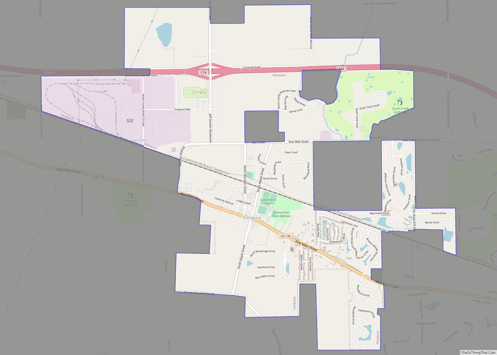
Pittsboro is a town in Middle Township, Hendricks County, Indiana, United States. The population was 2,928 at the 2010 Census, up from 1,588 at the 2000 census. By 2018 the estimated population was 3,480. Pittsboro town overview: Name: Pittsboro town LSAD Code: 43 LSAD Description: town (suffix) State: Indiana County: Hendricks County Elevation: 938 ft (286 m) ... Read more
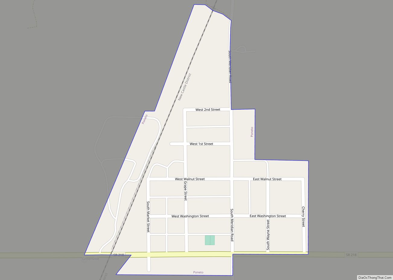
Poneto is a town in Chester, Harrison and Liberty townships, Wells County, in the U.S. state of Indiana. The population was 166 at the 2010 census. Poneto town overview: Name: Poneto town LSAD Code: 43 LSAD Description: town (suffix) State: Indiana County: Wells County Elevation: 850 ft (259 m) Total Area: 0.12 sq mi (0.30 km²) Land Area: 0.12 sq mi (0.30 km²) ... Read more
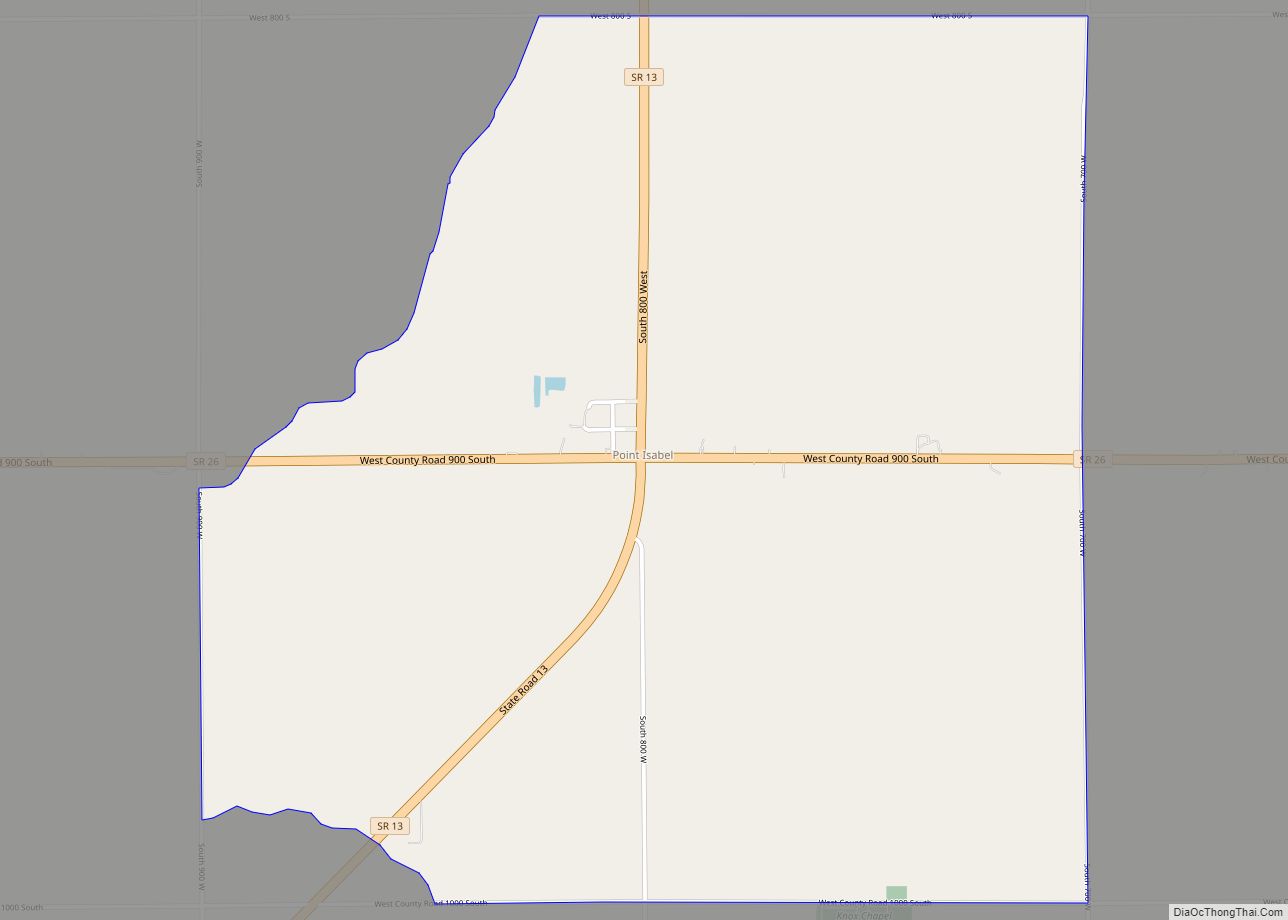
Point Isabel is an unincorporated community and census-designated place (CDP) in central Green Township, Grant County, Indiana, United States. It lies at the intersection of State Roads 13 and 26. As of the 2010 census it had a population of 91. A post office was established at Point Isabel in 1859, and remained in operation ... Read more
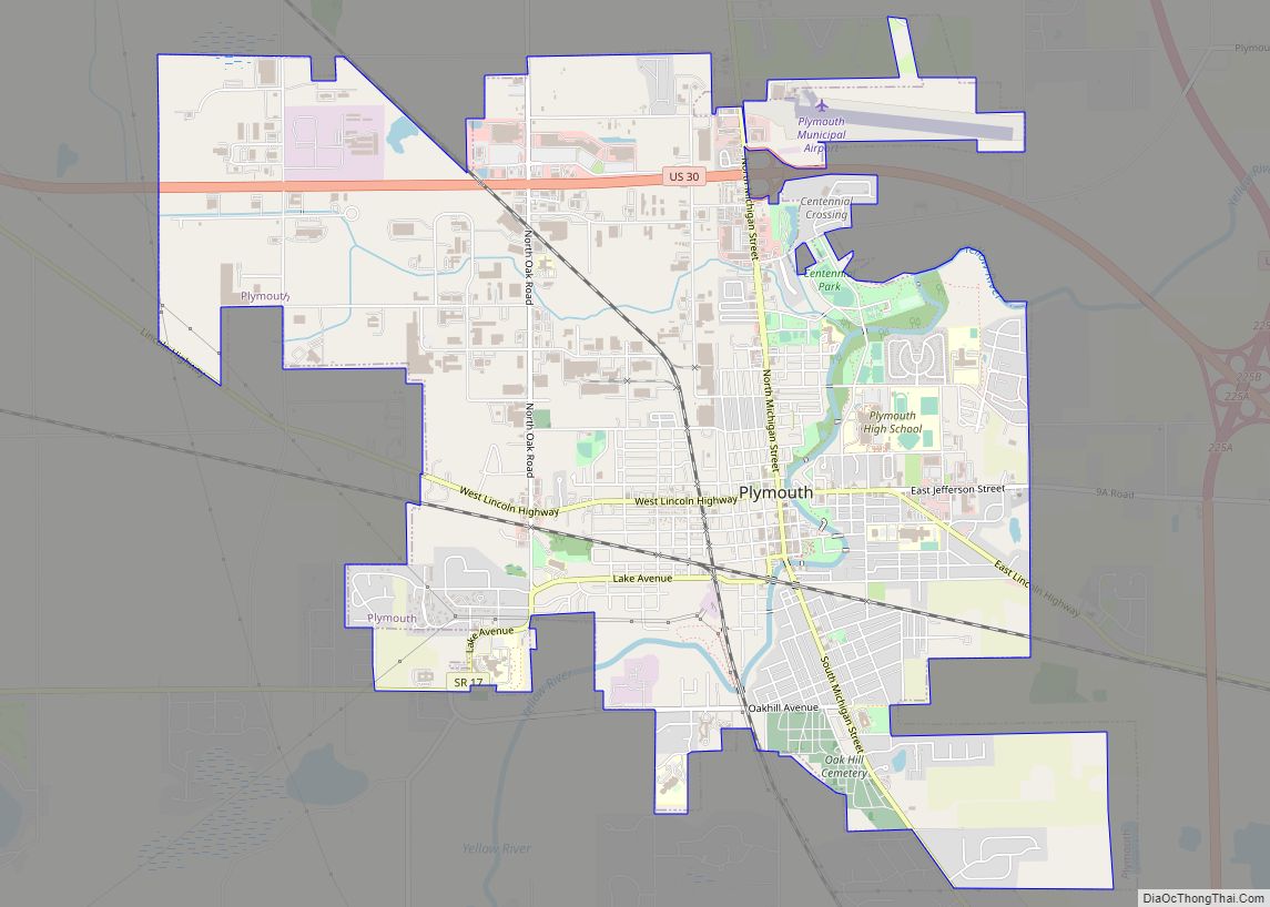
Plymouth is a city in Marshall County, Indiana, United States. The population is 10,214 in the 2020 census. It is the county seat of Marshall County. Plymouth was the site of the first retail outlet of defunct U.S. retailer Montgomery Ward in 1926. Plymouth city overview: Name: Plymouth city LSAD Code: 25 LSAD Description: city ... Read more
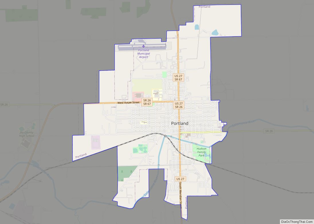
Portland is a city in and the county seat of Jay County, Indiana, United States. The population was 6,223 at the 2010 census, and in 2018 the estimated population was 6,085. Portland city overview: Name: Portland city LSAD Code: 25 LSAD Description: city (suffix) State: Indiana County: Jay County Elevation: 909 ft (277 m) Total Area: 4.88 sq mi ... Read more
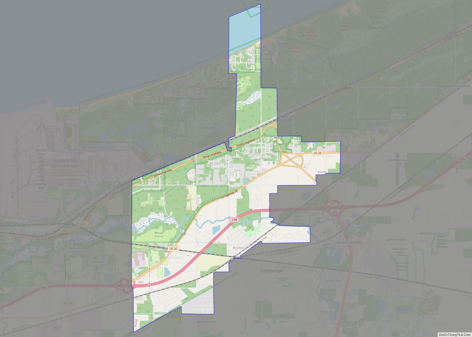
Porter is a town in Westchester Township, Porter County, in the U.S. state of Indiana. The population was 4,858 at the 2010 census. Porter is in the Indiana Dunes ecosystem, which played a role in the creation of The Nature Conservancy, and inspired conservation efforts. Porter is noted for its proximity to Indiana Dunes State ... Read more
