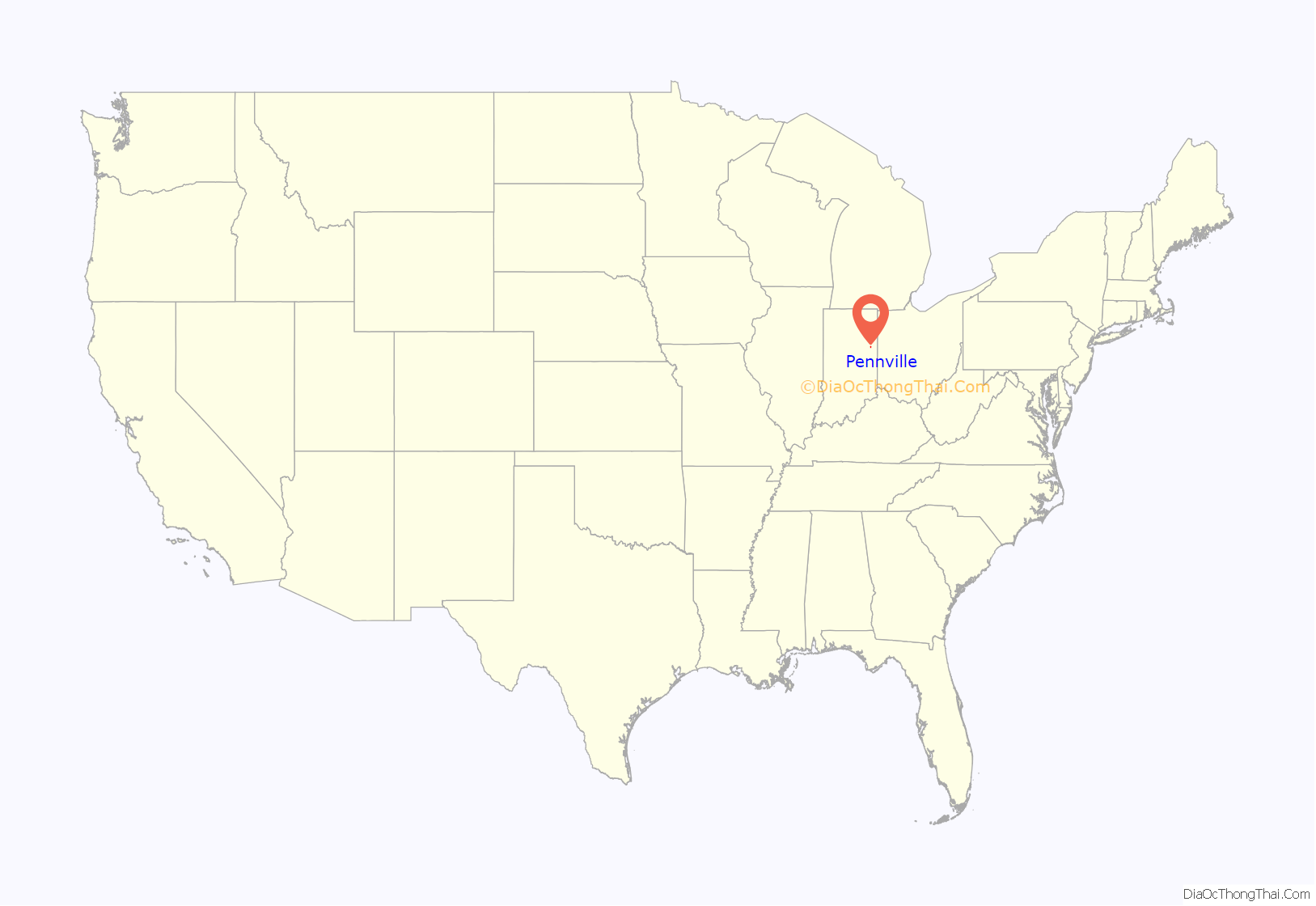
Pennville is a town in Penn Township, Jay County, Indiana, United States. The population was 701 at the 2010 census.
| Name: | Pennville town |
|---|---|
| LSAD Code: | 43 |
| LSAD Description: | town (suffix) |
| State: | Indiana |
| County: | Jay County |
| Elevation: | 879 ft (268 m) |
| Total Area: | 0.50 sq mi (1.29 km²) |
| Land Area: | 0.50 sq mi (1.29 km²) |
| Water Area: | 0.00 sq mi (0.00 km²) |
| Total Population: | 621 |
| Population Density: | 1,249.50/sq mi (482.18/km²) |
| ZIP code: | 47369 |
| Area code: | 260 |
| FIPS code: | 1858788 |
| GNISfeature ID: | 0441003 |
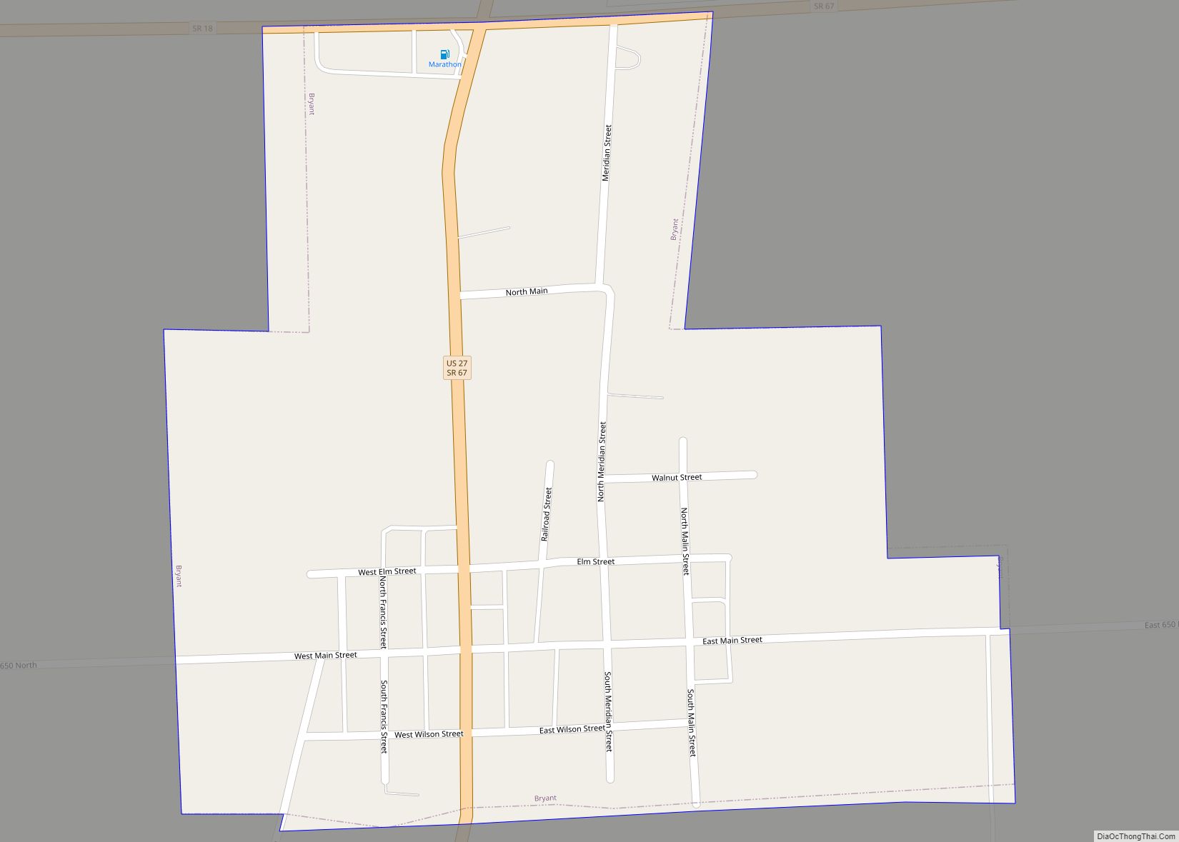
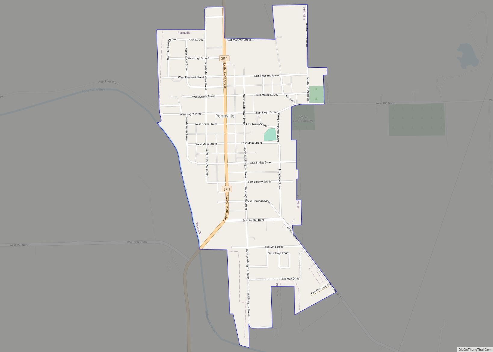
Online Interactive Map
Click on ![]() to view map in "full screen" mode.
to view map in "full screen" mode.
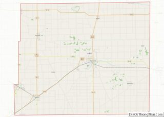
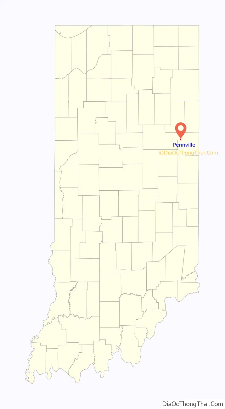
Pennville location map. Where is Pennville town?
History
The history of Pennville began when Samuel Grisell and Moses Hamilton left their homes in Columbiana County, Ohio, in the spring of 1834 to search for government land for a permanent home. Their journey led them to Jay County, Indiana, and on 10 February 1835 Grisell received a Land Patent at the General Land Office at Fort Wayne, purchasing the land “for the North East quarter of Section thirty-five, in Township twenty-four of Range twelve,” which contained 160 acres (0.65 km). Hamilton was the first to move to the new area, and Grisell came shortly thereafter. It is generally accepted, although not proven, that Grisell then platted the land into a town in August 1836, and named it New Lisbon, presumably after the Village of Lisbon in his home county of Columbiana County, Ohio. New Lisbon was short lived and the name of the town changed to Camden around 1837 because there was another town of the same name in Indiana.
Grisell was a member of the Hicksite Quaker faith, mostly country Friends who perceived urban Friends as worldly, a group which split from Orthodox Friends in 1827 due to the views of Elias Hicks. As early as 1841 there were Friends Monthly Meetings in Camden. A post office was established in Camden on 19 January 1839, with John D. Jones as postmaster. The change to the town name of Pennville was gradual and began when the post office was applied for at Camden. Since the new post office could not be called Camden, as that name was already being used by the post office at Camden in Carroll County, Indiana, the new post office was named Penn, allegedly by Grisell, who was a great admirer of William Penn, the famous Quaker. Since Camden no longer existed after an earlier collapse of the corporation, and the post office was named Penn, this caused confusion and more and more the town was called Pennville. The oil and gas boom that began in the 1880s increased business to such an extent that the people felt there should be a legal name for the town. In 1905 a petition was presented to the Jay County Commissioners asking that the town be incorporated under the name of Pennville.
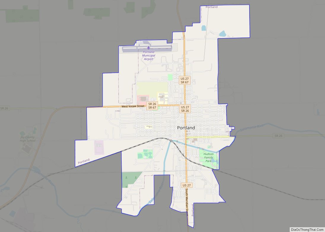
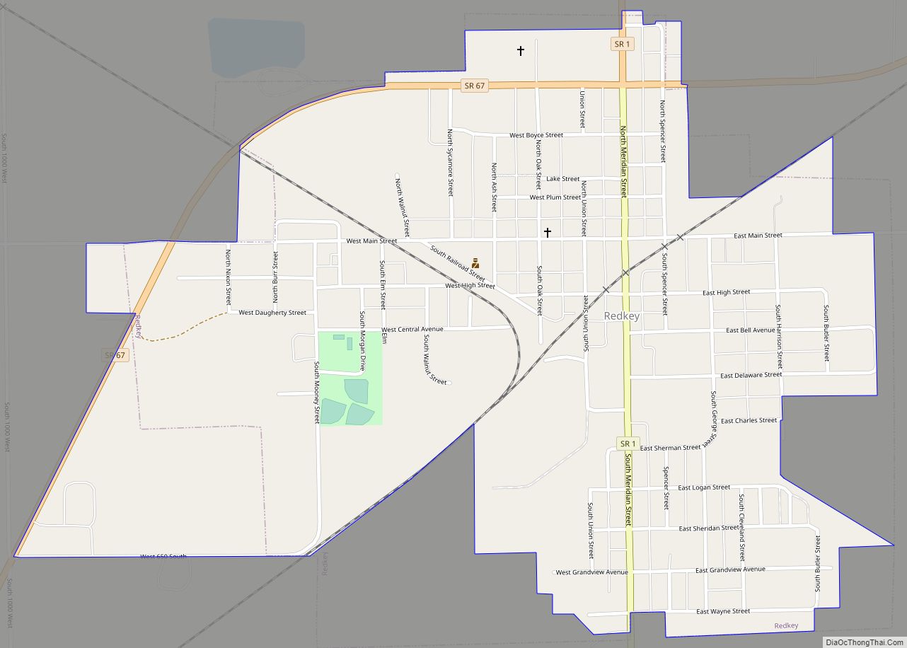
Pennville has had two high schools, the first being organized around 1890 and existing until 1910. The second Pennville High School was built in 1911 on Jones Hill (sometimes called Gregg Hill) and was in session until 1975, when the schools of five Jay County communities – Pennville, Portland, Bryant, Redkey and Dunkirk – were consolidated into Jay County High School, outside Portland.
From 1903 until 1917, the Cincinnati, Bluffton and Chicago Railroad, sometimes referred to as the CB&C, ran through Pennville. Provident Hospital, a precursor to the Caylor-Nickel Clinic in Bluffton, Wells County, Indiana, existed in Pennville from 1 November 1907 until 1917.
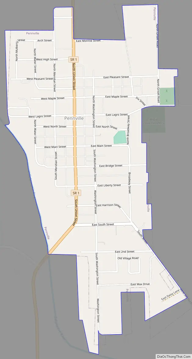
Pennville Road Map
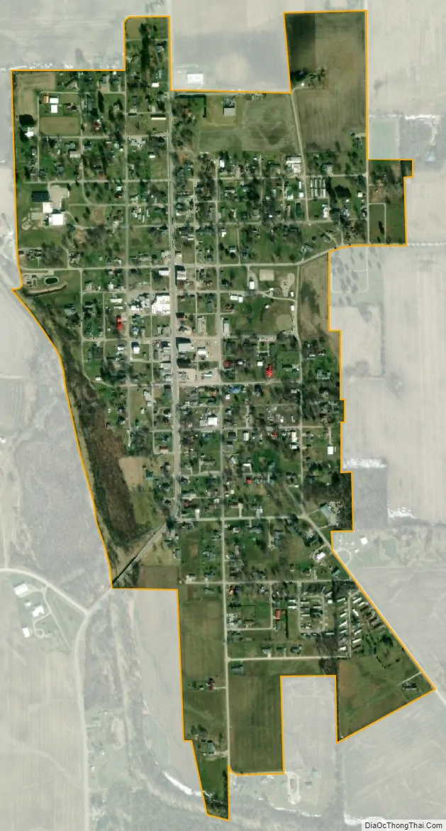
Pennville city Satellite Map
Geography
Pennville is located at 40°29′36″N 85°8′51″W / 40.49333°N 85.14750°W / 40.49333; -85.14750 (40.493323, -85.147414), along the Salamonie River.
According to the 2010 census, Pennville has a total area of 0.5 square miles (1.29 km), all land.
See also
Map of Indiana State and its subdivision:- Adams
- Allen
- Bartholomew
- Benton
- Blackford
- Boone
- Brown
- Carroll
- Cass
- Clark
- Clay
- Clinton
- Crawford
- Daviess
- De Kalb
- Dearborn
- Decatur
- Delaware
- Dubois
- Elkhart
- Fayette
- Floyd
- Fountain
- Franklin
- Fulton
- Gibson
- Grant
- Greene
- Hamilton
- Hancock
- Harrison
- Hendricks
- Henry
- Howard
- Huntington
- Jackson
- Jasper
- Jay
- Jefferson
- Jennings
- Johnson
- Knox
- Kosciusko
- LaGrange
- Lake
- Lake Michigan
- LaPorte
- Lawrence
- Madison
- Marion
- Marshall
- Martin
- Miami
- Monroe
- Montgomery
- Morgan
- Newton
- Noble
- Ohio
- Orange
- Owen
- Parke
- Perry
- Pike
- Porter
- Posey
- Pulaski
- Putnam
- Randolph
- Ripley
- Rush
- Saint Joseph
- Scott
- Shelby
- Spencer
- Starke
- Steuben
- Sullivan
- Switzerland
- Tippecanoe
- Tipton
- Union
- Vanderburgh
- Vermillion
- Vigo
- Wabash
- Warren
- Warrick
- Washington
- Wayne
- Wells
- White
- Whitley
- Alabama
- Alaska
- Arizona
- Arkansas
- California
- Colorado
- Connecticut
- Delaware
- District of Columbia
- Florida
- Georgia
- Hawaii
- Idaho
- Illinois
- Indiana
- Iowa
- Kansas
- Kentucky
- Louisiana
- Maine
- Maryland
- Massachusetts
- Michigan
- Minnesota
- Mississippi
- Missouri
- Montana
- Nebraska
- Nevada
- New Hampshire
- New Jersey
- New Mexico
- New York
- North Carolina
- North Dakota
- Ohio
- Oklahoma
- Oregon
- Pennsylvania
- Rhode Island
- South Carolina
- South Dakota
- Tennessee
- Texas
- Utah
- Vermont
- Virginia
- Washington
- West Virginia
- Wisconsin
- Wyoming