Plainfield is a town in Guilford, Liberty, and Washington townships, Hendricks County, Indiana, United States. The population was 27,631 at the 2010 census, and in 2019 the estimated population was 35,287.
| Name: | Plainfield town |
|---|---|
| LSAD Code: | 43 |
| LSAD Description: | town (suffix) |
| State: | Indiana |
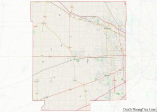
| County: | Hendricks County |
| Incorporated: | 1839 |
| Elevation: | 715 ft (218 m) |
| Total Area: | 26.12 sq mi (67.66 km²) |
| Land Area: | 26.00 sq mi (67.33 km²) |
| Water Area: | 0.13 sq mi (0.33 km²) |
| Total Population: | 34,625 |
| Population Density: | 1,331.99/sq mi (514.28/km²) |
| ZIP code: | 46168 |
| Area code: | 317/463 |
| FIPS code: | 1860246 |
| GNISfeature ID: | 0441219 |
| Website: | www.townofplainfield.com |
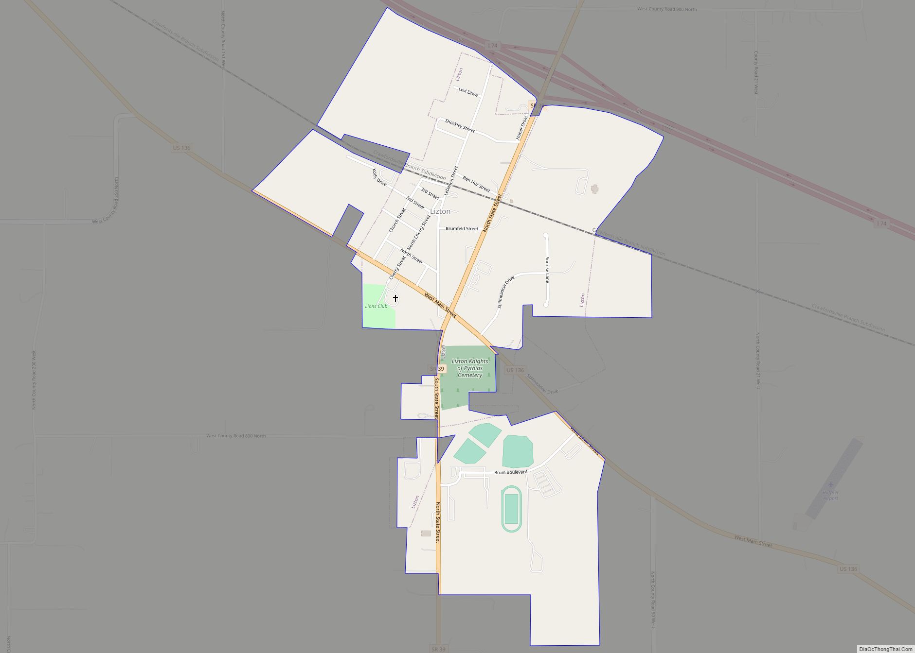
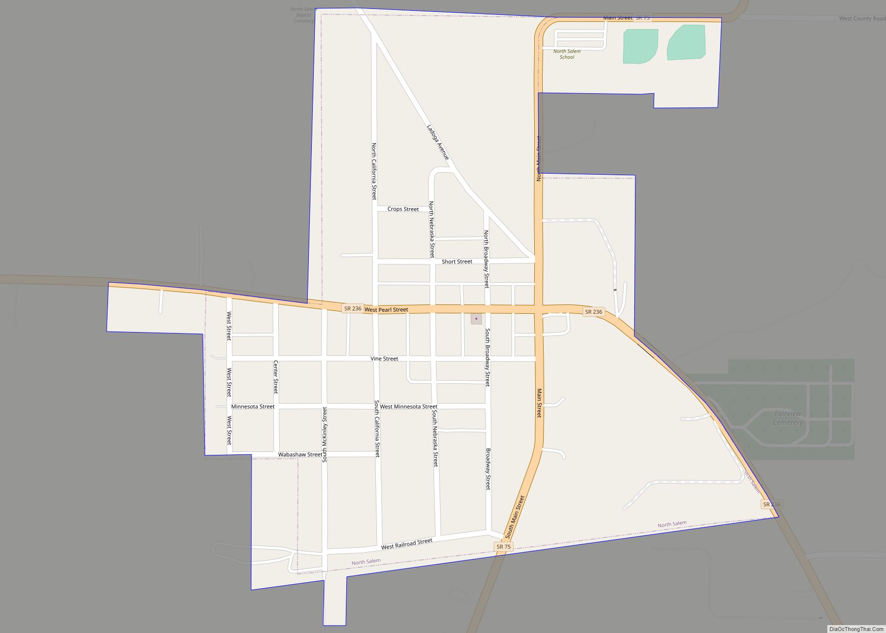
Online Interactive Map
Click on ![]() to view map in "full screen" mode.
to view map in "full screen" mode.
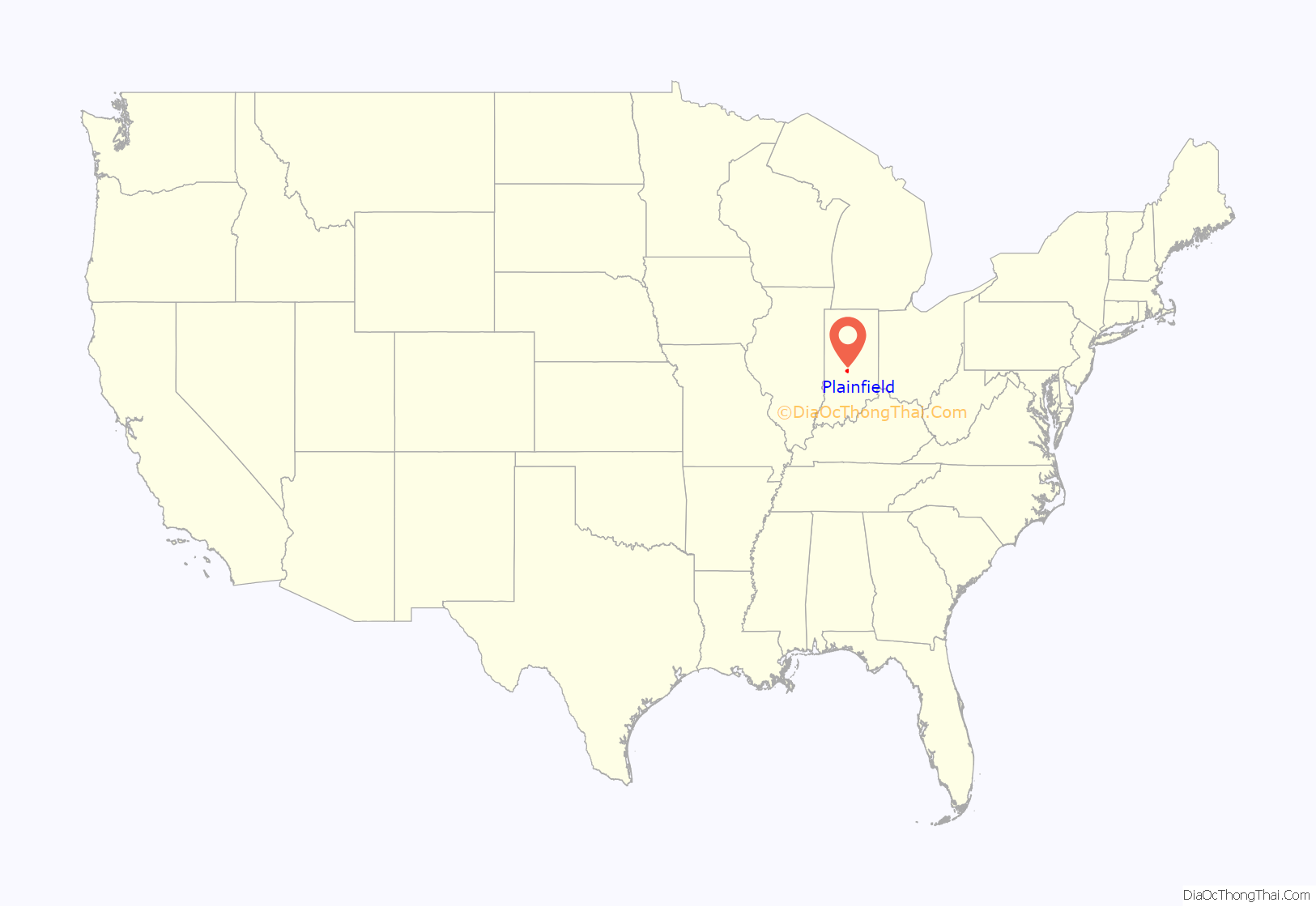
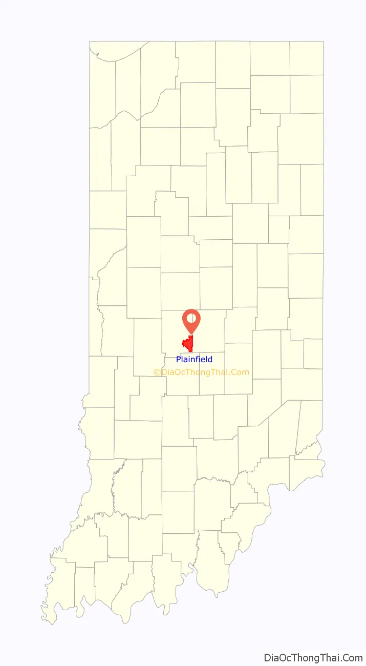
Plainfield location map. Where is Plainfield town?
History
In 1822 a tract of land which included the area now known as Plainfield was obtained by Jeremiah Hadley of Preble County, Ohio. Ten years later he sold it to his son, Elias Hadley. Levi Jessup and Elias Hadley laid out the town in 1839. Plainfield was incorporated as a town in 1839. The town got its name from the early Friends (Quakers) who settled around the area and established several meetinghouses throughout the county, including the important Western Yearly Meeting of Friends in Plainfield. The Friends were “plain” people, and thus the name “Plainfield”. The high school continues to honor the Quakers, using the name for the school’s mascot.
Plainfield has long been associated with the National Road, U.S. Route 40, which goes through town as Main Street. One incident which brought Plainfield national attention occurred in 1842 when former President Martin Van Buren was spilled deliberately from his stagecoach into the thick mud of the highway. The practical joke came as a result of Van Buren’s vetoing a bill from Congress to improve the highway, a move which angered Western settlers. When Van Buren came through Plainfield on a swing to shore up his popularity for the 1844 election, a group of perpetrators set up the incident. The elm tree whose roots caused the president’s carriage to topple became known as the Van Buren Elm.[1] An elementary school near this site is named Van Buren Elementary School.
In the 1980s Plainfield became the headquarters of the Islamic Society of North America.
The Hendricks County Bridge Number 316, Plainfield Historic District, and THI and E Interurban Depot-Substation are listed on the National Register of Historic Places.
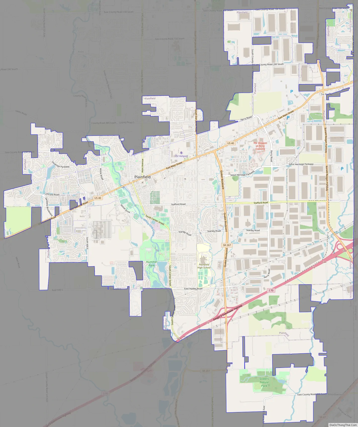
Plainfield Road Map
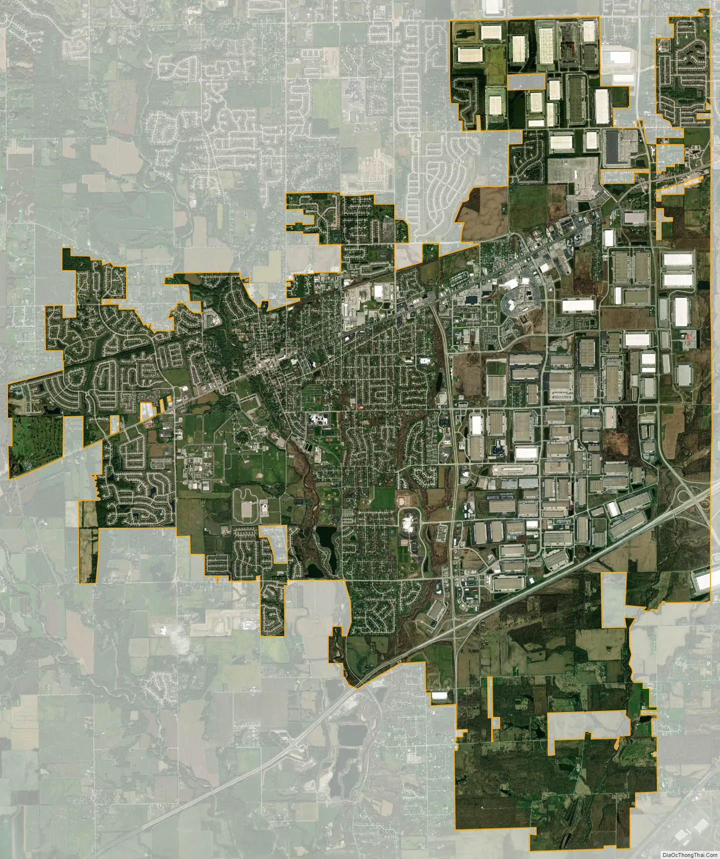
Plainfield city Satellite Map
Geography
According to the 2010 census, Plainfield has a total area of 22.38 square miles (57.96 km), of which 22.27 square miles (57.68 km) (or 99.51%) is land and 0.11 square miles (0.28 km) (or 0.49%) is water.
Plainfield is located in the Central Till Plains region of the United States. There are few moderately sized hills, and a mix of deciduous forests and prairie covers much of the area within the town limits. White Lick Creek, a tributary of the White River, flows north to south through the western side of Plainfield. On the eastern side of town, Clark’s Creek, a tributary of White Lick Creek, flows towards the south.
U.S. Route 40, also known as the Historic National Road and the Cumberland Road, passes through the middle of Plainfield and is the main arterial route running east to west in the town. From north to south runs Quaker Boulevard (former SR 267).
Plainfield’s town center is situated around the intersection of U.S. Route 40 and Center Street, also known as Old State Highway 267.
Indianapolis International Airport borders the east side of Plainfield, in Marion County.
See also
Map of Indiana State and its subdivision:- Adams
- Allen
- Bartholomew
- Benton
- Blackford
- Boone
- Brown
- Carroll
- Cass
- Clark
- Clay
- Clinton
- Crawford
- Daviess
- De Kalb
- Dearborn
- Decatur
- Delaware
- Dubois
- Elkhart
- Fayette
- Floyd
- Fountain
- Franklin
- Fulton
- Gibson
- Grant
- Greene
- Hamilton
- Hancock
- Harrison
- Hendricks
- Henry
- Howard
- Huntington
- Jackson
- Jasper
- Jay
- Jefferson
- Jennings
- Johnson
- Knox
- Kosciusko
- LaGrange
- Lake
- Lake Michigan
- LaPorte
- Lawrence
- Madison
- Marion
- Marshall
- Martin
- Miami
- Monroe
- Montgomery
- Morgan
- Newton
- Noble
- Ohio
- Orange
- Owen
- Parke
- Perry
- Pike
- Porter
- Posey
- Pulaski
- Putnam
- Randolph
- Ripley
- Rush
- Saint Joseph
- Scott
- Shelby
- Spencer
- Starke
- Steuben
- Sullivan
- Switzerland
- Tippecanoe
- Tipton
- Union
- Vanderburgh
- Vermillion
- Vigo
- Wabash
- Warren
- Warrick
- Washington
- Wayne
- Wells
- White
- Whitley
- Alabama
- Alaska
- Arizona
- Arkansas
- California
- Colorado
- Connecticut
- Delaware
- District of Columbia
- Florida
- Georgia
- Hawaii
- Idaho
- Illinois
- Indiana
- Iowa
- Kansas
- Kentucky
- Louisiana
- Maine
- Maryland
- Massachusetts
- Michigan
- Minnesota
- Mississippi
- Missouri
- Montana
- Nebraska
- Nevada
- New Hampshire
- New Jersey
- New Mexico
- New York
- North Carolina
- North Dakota
- Ohio
- Oklahoma
- Oregon
- Pennsylvania
- Rhode Island
- South Carolina
- South Dakota
- Tennessee
- Texas
- Utah
- Vermont
- Virginia
- Washington
- West Virginia
- Wisconsin
- Wyoming