Plymouth is a city in Marshall County, Indiana, United States. The population is 10,214 in the 2020 census. It is the county seat of Marshall County. Plymouth was the site of the first retail outlet of defunct U.S. retailer Montgomery Ward in 1926.
| Name: | Plymouth city |
|---|---|
| LSAD Code: | 25 |
| LSAD Description: | city (suffix) |
| State: | Indiana |
| County: | Marshall County |
| Elevation: | 797 ft (243 m) |
| Total Area: | 7.62 sq mi (19.74 km²) |
| Land Area: | 7.57 sq mi (19.61 km²) |
| Water Area: | 0.05 sq mi (0.13 km²) 0.53% |
| Total Population: | 10,214 |
| Population Density: | 1,349.10/sq mi (520.88/km²) |
| ZIP code: | 46563 |
| Area code: | 574 |
| FIPS code: | 1860822 |
| GNISfeature ID: | 0441379 |
| Website: | plymouthin.com |
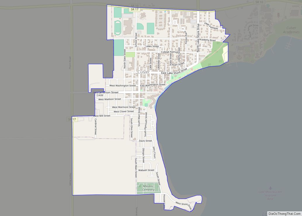
Online Interactive Map
Click on ![]() to view map in "full screen" mode.
to view map in "full screen" mode.
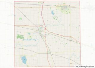
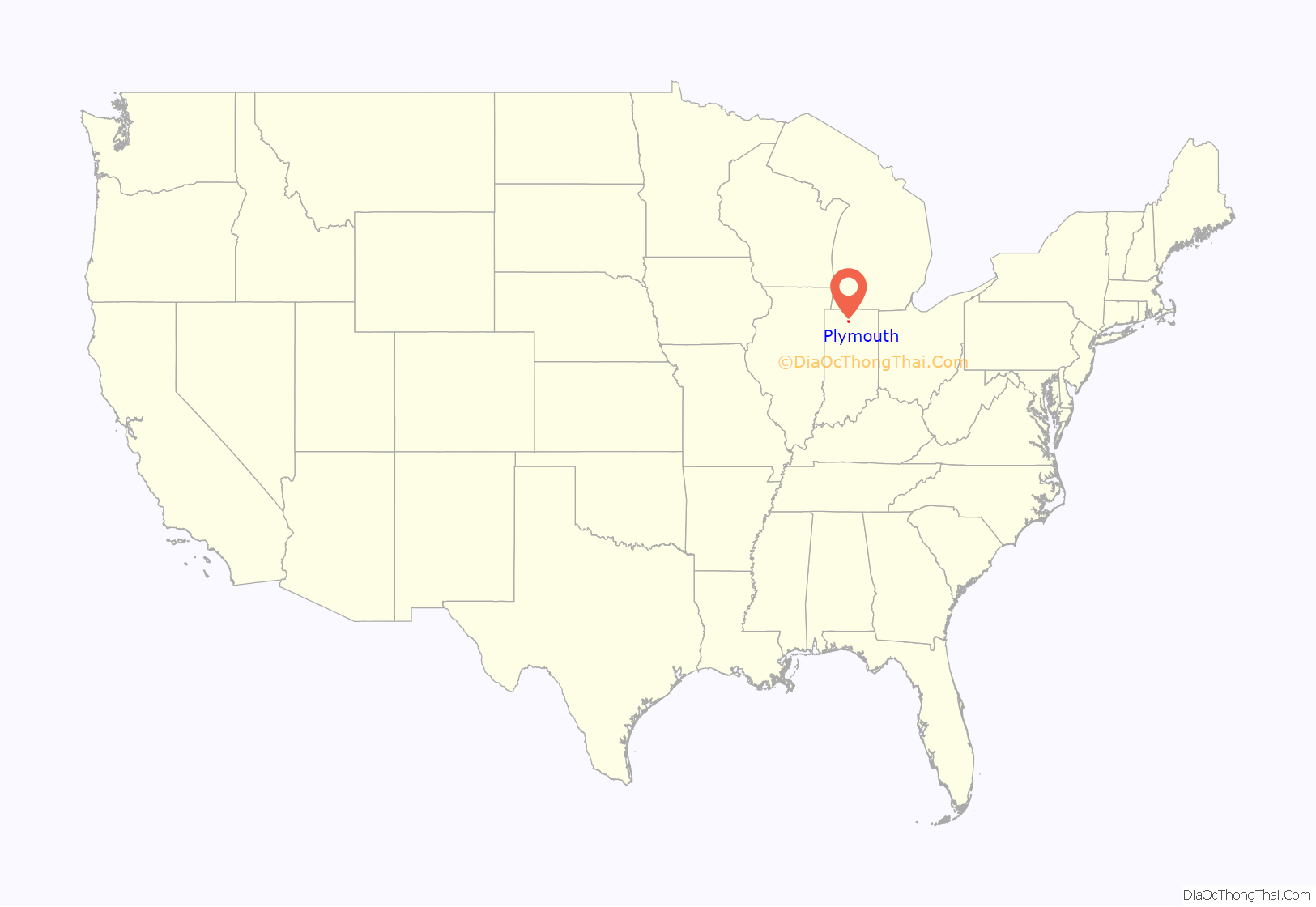
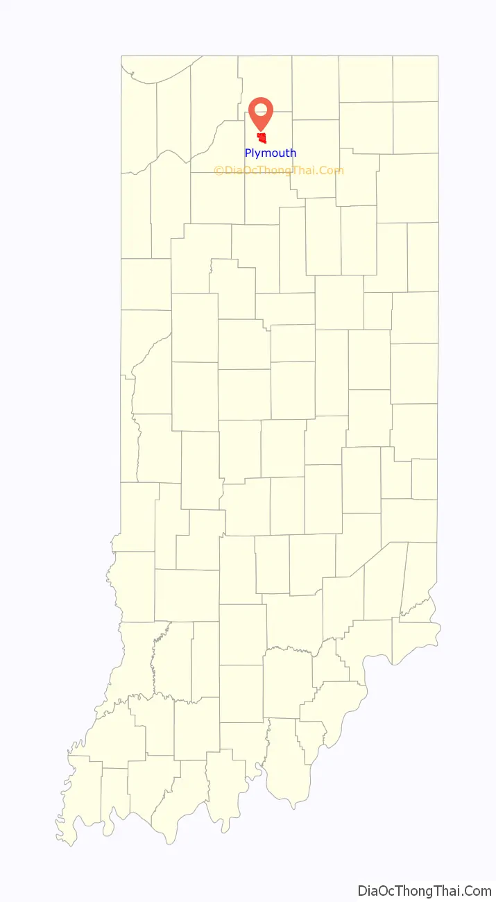
Plymouth location map. Where is Plymouth city?
History
Early history
This area was part of the territory of the Potawatomi Native Americans, one of the historical tribes encountered by American settlers. In the nineteenth century, the United States government made numerous treaties to buy and extinguish Native American claims to land in the former Northwest Territory and the Southeast.
First settlements
Marshall County was formed in 1836, during the early years of settlement and before the forced removal of the Potawatomi people in 1838. It was named for U.S. Chief Justice John Marshall, who died in 1835. Marshall County is notable as the starting point in 1838 of the Potawatomi Trail of Death, which was the forced removal by United States forces of Chief Menominee and 859 Potawatomi Indians from Indiana to Indian Territory, at the site of present-day Osawatomie, Kansas, a distance of 660 miles (1,060 km). The first settlers arrived in what is now Marshall County in 1835. They arrived as a result of the end of the Black Hawk War as well as the completion of the Erie Canal. They consisted primarily of settlers from New England, “Yankees” descended from the English Puritans who settled New England in the colonial era. They were mainly members of the Congregational church, although due to the Second Great Awakening many of them had converted to Methodism and some had become Baptists before coming to what is now Marshall County. As a result of this heritage, some place names in Marshall County are named after places in New England, such as Plymouth, which is named after Plymouth, Massachusetts, the site where the Mayflower landed in 1620. When these settlers arrived, there was nothing but a dense virgin forest and wild marshland, which would need to be cleared and drained before it could be farmed. The Indian Removal Act of 1830 authorized forcible removal if necessary. The United States government purchased this area under the Treaty of Tippecanoe in 1832. Plymouth was incorporated as a town in 1851.
Although many Potawatomi had relocated to Indian Territory in present-day Kansas, Chief Menominee and his band of the Yellow River refused to go. Militia under the authority of United States Army officers rounded them up and in September 1838, the band of 859 headed west, in what became known as the Potawatomi Trail of Death. They traveled more than 660 miles to Osawatomie, Kansas, with many of the Potawatomi walking. More than 40 of the tribal members died on the march.
During the Civil War, Union Army soldiers arrested Daniel E. VanValkenburgh, editor of the Plymouth Weekly Democrat, who criticized what he viewed as Lincoln’s abuses of power. VanValkenburgh also criticized Department of Ohio commander Ambrose Burnside’s lieutenant, General Milo S. Hascall. Hascall was in charge of the District of Indiana. VanValkenburgh called Hascall a donkey in the pages of the Democrat. Hascall promptly dispatched soldiers to arrest VanValkenburgh and brought him before Burnside to answer charges of violating Burnside’s General Order No. 38. Burnside let VanValkenburgh off with a warning. The Democrat became the first of eleven Democratic newspapers suppressed or threatened with suppression in May 1863.
Like many towns and counties in Indiana following the Reconstruction Era, Plymouth was once considered a Sundown town. There are many accounts by locals claiming the existence of signs at the northern city limits stating, “Blacks out of town by sundown” or “All non-residents are required to leave the city by 9 pm”, with a city ordinance listed at the bottom. There were no such signs at the southern border of town on US 31, nor on the east and west entrances on US 30. North of Plymouth, on US 31, is the city of South Bend, which has a large African-American population. These signs remained posted well into the mid 60s until the Fair Housing Act of 1968 which banned racial discrimination in the sale, rental, and financing of housing. Although the city has since become more inclusive, the African-American population still remains remarkably low at 0.6%. As of today, there has been no public acknowledgment by the city of its history of exclusion.
Later History
On July 6, 1915 the Liberty Bell stopped in Plymouth on its trip from Philadelphia to the Exposition at San Francisco.
Much of Plymouth’s history was documented in two major newspapers during the 19th century. The Marshall County Republican (also titled Plymouth Republican and Plymouth Tribune) operated from 1856 to 1922. Its main rival the Marshall County Democrat (also titled Plymouth Democrat) appeared from 1855 to 1932 (and as a weekly only edition until January 1, 1941). During the 20th century, the Plymouth Daily Pilot acquired the Republican in 1922, and the Democrat became the Plymouth Daily News in 1932. The News and Pilot merged to become the Plymouth Pilot-News in 1947.
As part of Plymouth’s sesquicentennial celebration in 1966, organizers created the first Marshall County Blueberry Festival, to take place over Labor Day weekend. This tradition has continued annually, and the Festival typically brings in tens of thousands of visitors over the four-day event.
In July 1982, five firefighters were killed when their fire truck overturned while responding to a call. The tanker truck crashed on a curve near West School on state road 17.
The East Laporte Street Footbridge, Heminger Travel Lodge, Marshall County Courthouse, Plymouth Downtown Historic District, Plymouth Northside Historic District, Plymouth Southside Historic District, and Plymouth Fire Station are listed on the National Register of Historic Places.
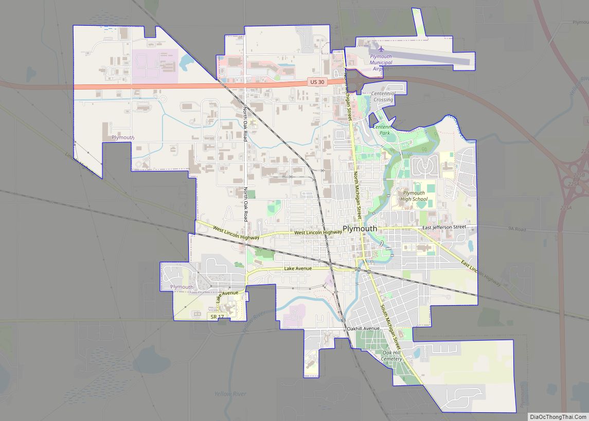
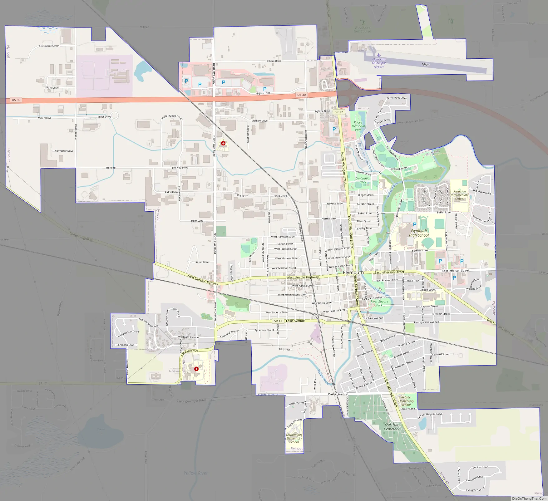
Plymouth Road Map
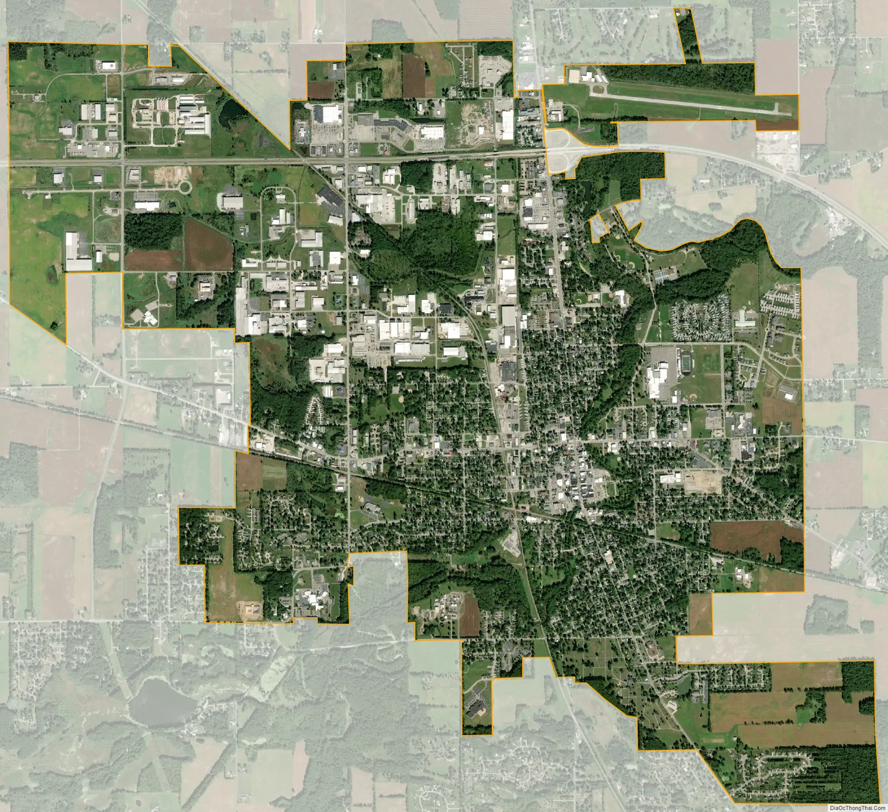
Plymouth city Satellite Map
Geography
Plymouth, Indiana is located at 41°20′38″N 86°18′45″W / 41.34389°N 86.31250°W / 41.34389; -86.31250 (41.343894, -86.312544), along the Yellow River.
According to the 2010 census, Plymouth has a total area of 7.57 square miles (19.61 km), of which 7.53 square miles (19.50 km) (or 99.47%) is land and 0.04 square mile (0.1 km) (or 0.53%) is water.
See also
Map of Indiana State and its subdivision:- Adams
- Allen
- Bartholomew
- Benton
- Blackford
- Boone
- Brown
- Carroll
- Cass
- Clark
- Clay
- Clinton
- Crawford
- Daviess
- De Kalb
- Dearborn
- Decatur
- Delaware
- Dubois
- Elkhart
- Fayette
- Floyd
- Fountain
- Franklin
- Fulton
- Gibson
- Grant
- Greene
- Hamilton
- Hancock
- Harrison
- Hendricks
- Henry
- Howard
- Huntington
- Jackson
- Jasper
- Jay
- Jefferson
- Jennings
- Johnson
- Knox
- Kosciusko
- LaGrange
- Lake
- Lake Michigan
- LaPorte
- Lawrence
- Madison
- Marion
- Marshall
- Martin
- Miami
- Monroe
- Montgomery
- Morgan
- Newton
- Noble
- Ohio
- Orange
- Owen
- Parke
- Perry
- Pike
- Porter
- Posey
- Pulaski
- Putnam
- Randolph
- Ripley
- Rush
- Saint Joseph
- Scott
- Shelby
- Spencer
- Starke
- Steuben
- Sullivan
- Switzerland
- Tippecanoe
- Tipton
- Union
- Vanderburgh
- Vermillion
- Vigo
- Wabash
- Warren
- Warrick
- Washington
- Wayne
- Wells
- White
- Whitley
- Alabama
- Alaska
- Arizona
- Arkansas
- California
- Colorado
- Connecticut
- Delaware
- District of Columbia
- Florida
- Georgia
- Hawaii
- Idaho
- Illinois
- Indiana
- Iowa
- Kansas
- Kentucky
- Louisiana
- Maine
- Maryland
- Massachusetts
- Michigan
- Minnesota
- Mississippi
- Missouri
- Montana
- Nebraska
- Nevada
- New Hampshire
- New Jersey
- New Mexico
- New York
- North Carolina
- North Dakota
- Ohio
- Oklahoma
- Oregon
- Pennsylvania
- Rhode Island
- South Carolina
- South Dakota
- Tennessee
- Texas
- Utah
- Vermont
- Virginia
- Washington
- West Virginia
- Wisconsin
- Wyoming