Point Isabel is an unincorporated community and census-designated place (CDP) in central Green Township, Grant County, Indiana, United States. It lies at the intersection of State Roads 13 and 26. As of the 2010 census it had a population of 91.
A post office was established at Point Isabel in 1859, and remained in operation until it was discontinued in 1911.
| Name: | Point Isabel CDP |
|---|---|
| LSAD Code: | 57 |
| LSAD Description: | CDP (suffix) |
| State: | Indiana |
| County: | Grant County |
| Elevation: | 879 ft (268 m) |
| Total Area: | 0.57 sq mi (1.48 km²) |
| Land Area: | 0.57 sq mi (1.48 km²) |
| Water Area: | 0.00 sq mi (0.00 km²) |
| Total Population: | 114 |
| Population Density: | 200.00/sq mi (77.21/km²) |
| ZIP code: | 46928 |
| FIPS code: | 1860894 |
| GNISfeature ID: | 441391 |
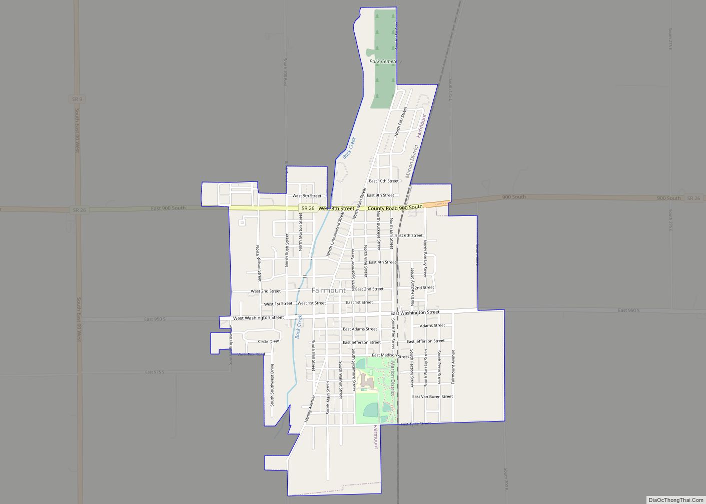
Online Interactive Map
Click on ![]() to view map in "full screen" mode.
to view map in "full screen" mode.
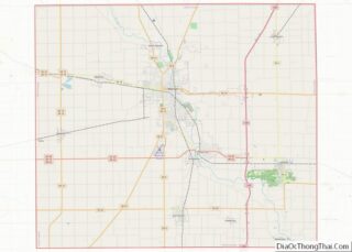
Point Isabel location map. Where is Point Isabel CDP?


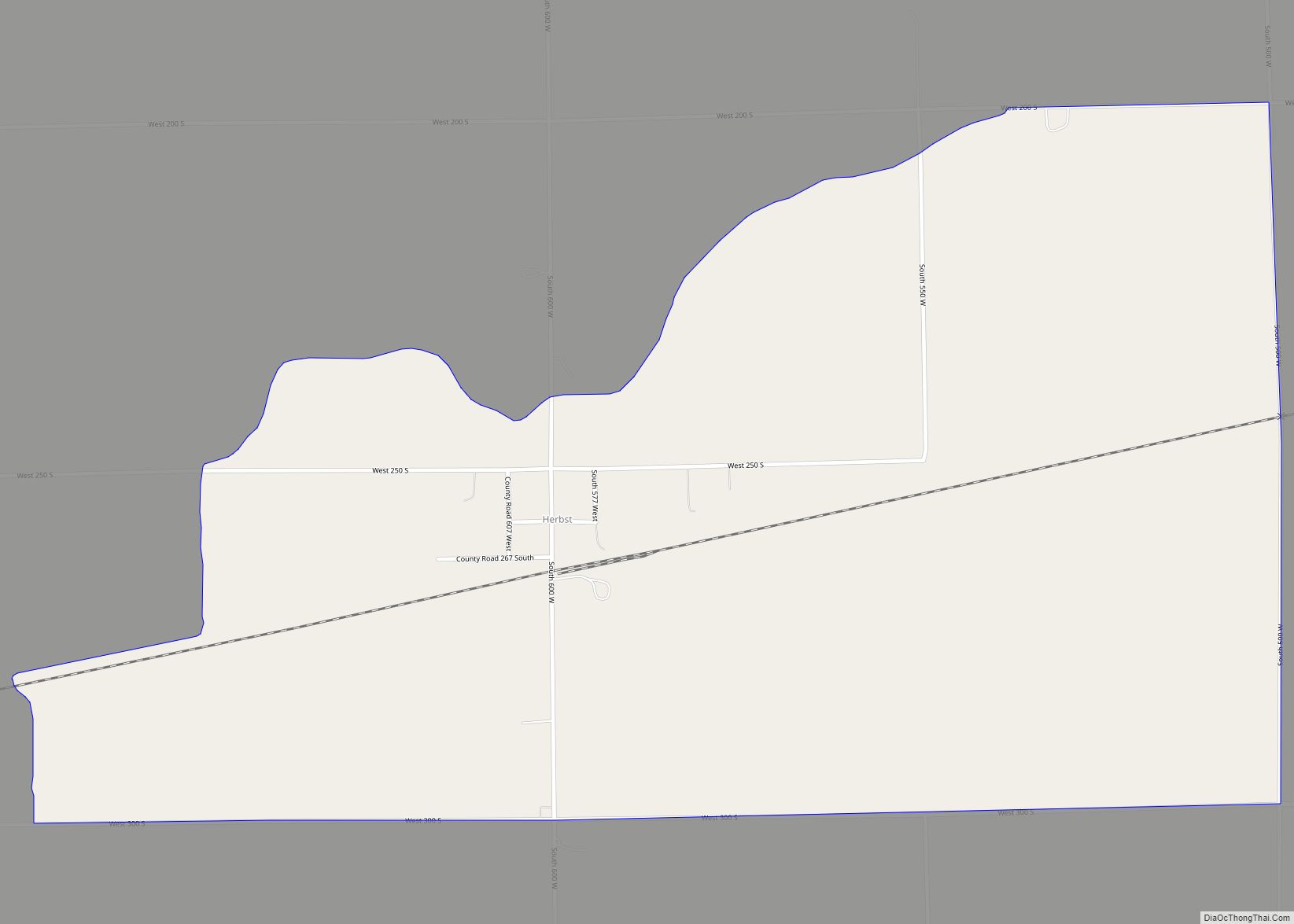
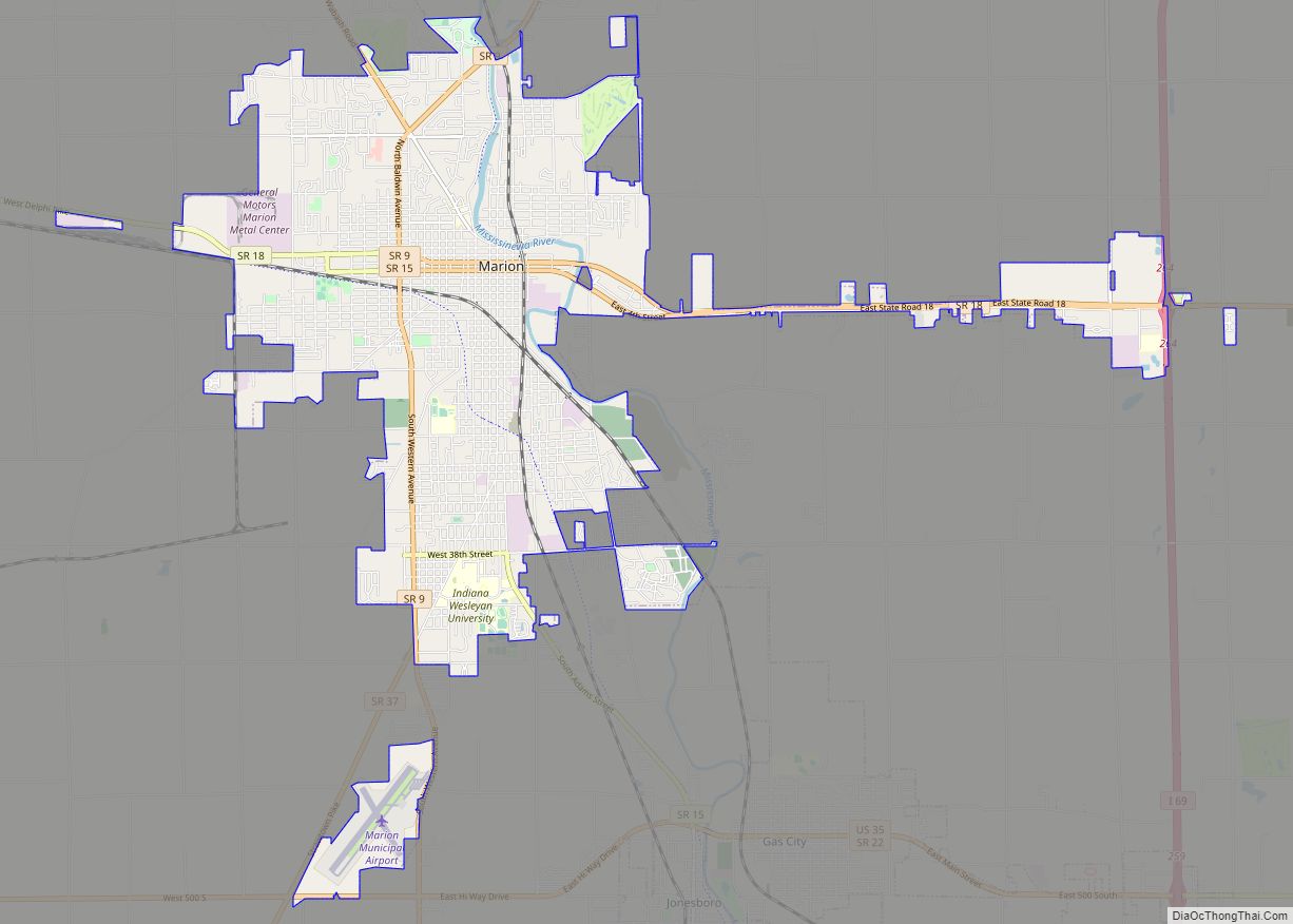
Point Isabel Road Map

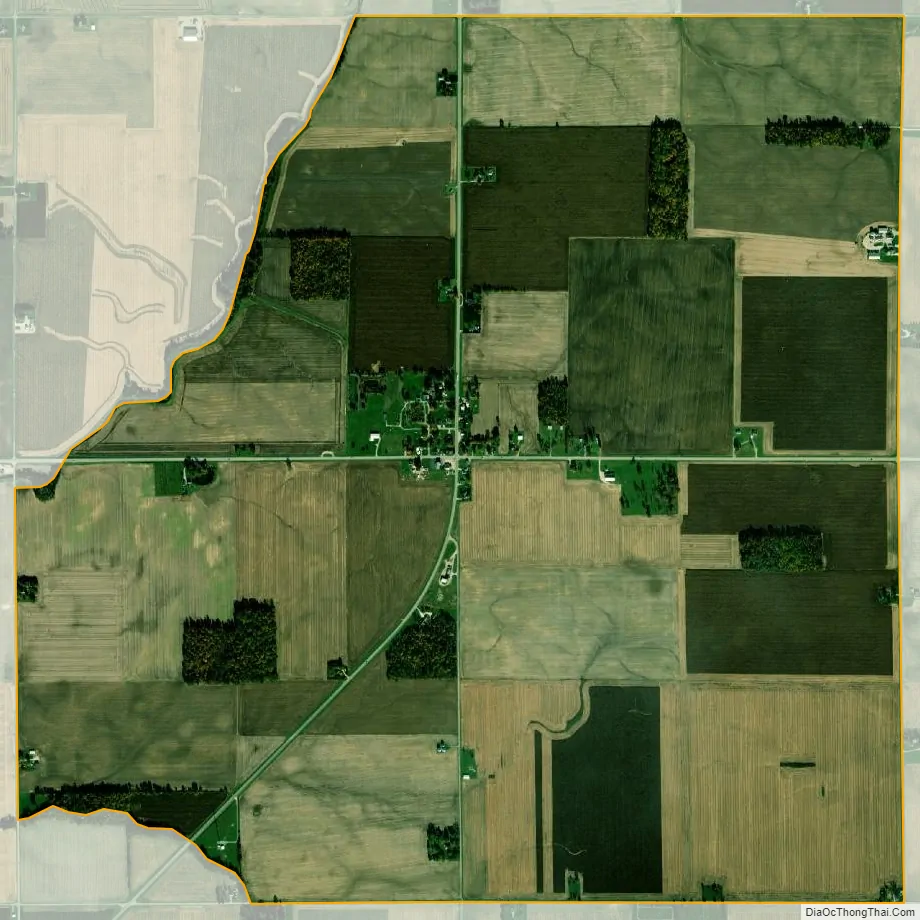
Point Isabel city Satellite Map
Geography
Point Isabel is located in southwestern Grant County at 40°25′18″N 85°49′28″W / 40.42167°N 85.82444°W / 40.42167; -85.82444. State Road 13 leads north 6 miles (10 km) to Swayzee and south 10 miles (16 km) to Elwood, while State Road 26 leads east 9 miles (14 km) to Fairmount and west 16 miles (26 km) to the southern outskirts of Kokomo. Marion, the Grant County seat, is 15 miles (24 km) to the northeast via State Roads 26 and 37.
See also
Map of Indiana State and its subdivision:- Adams
- Allen
- Bartholomew
- Benton
- Blackford
- Boone
- Brown
- Carroll
- Cass
- Clark
- Clay
- Clinton
- Crawford
- Daviess
- De Kalb
- Dearborn
- Decatur
- Delaware
- Dubois
- Elkhart
- Fayette
- Floyd
- Fountain
- Franklin
- Fulton
- Gibson
- Grant
- Greene
- Hamilton
- Hancock
- Harrison
- Hendricks
- Henry
- Howard
- Huntington
- Jackson
- Jasper
- Jay
- Jefferson
- Jennings
- Johnson
- Knox
- Kosciusko
- LaGrange
- Lake
- Lake Michigan
- LaPorte
- Lawrence
- Madison
- Marion
- Marshall
- Martin
- Miami
- Monroe
- Montgomery
- Morgan
- Newton
- Noble
- Ohio
- Orange
- Owen
- Parke
- Perry
- Pike
- Porter
- Posey
- Pulaski
- Putnam
- Randolph
- Ripley
- Rush
- Saint Joseph
- Scott
- Shelby
- Spencer
- Starke
- Steuben
- Sullivan
- Switzerland
- Tippecanoe
- Tipton
- Union
- Vanderburgh
- Vermillion
- Vigo
- Wabash
- Warren
- Warrick
- Washington
- Wayne
- Wells
- White
- Whitley
- Alabama
- Alaska
- Arizona
- Arkansas
- California
- Colorado
- Connecticut
- Delaware
- District of Columbia
- Florida
- Georgia
- Hawaii
- Idaho
- Illinois
- Indiana
- Iowa
- Kansas
- Kentucky
- Louisiana
- Maine
- Maryland
- Massachusetts
- Michigan
- Minnesota
- Mississippi
- Missouri
- Montana
- Nebraska
- Nevada
- New Hampshire
- New Jersey
- New Mexico
- New York
- North Carolina
- North Dakota
- Ohio
- Oklahoma
- Oregon
- Pennsylvania
- Rhode Island
- South Carolina
- South Dakota
- Tennessee
- Texas
- Utah
- Vermont
- Virginia
- Washington
- West Virginia
- Wisconsin
- Wyoming