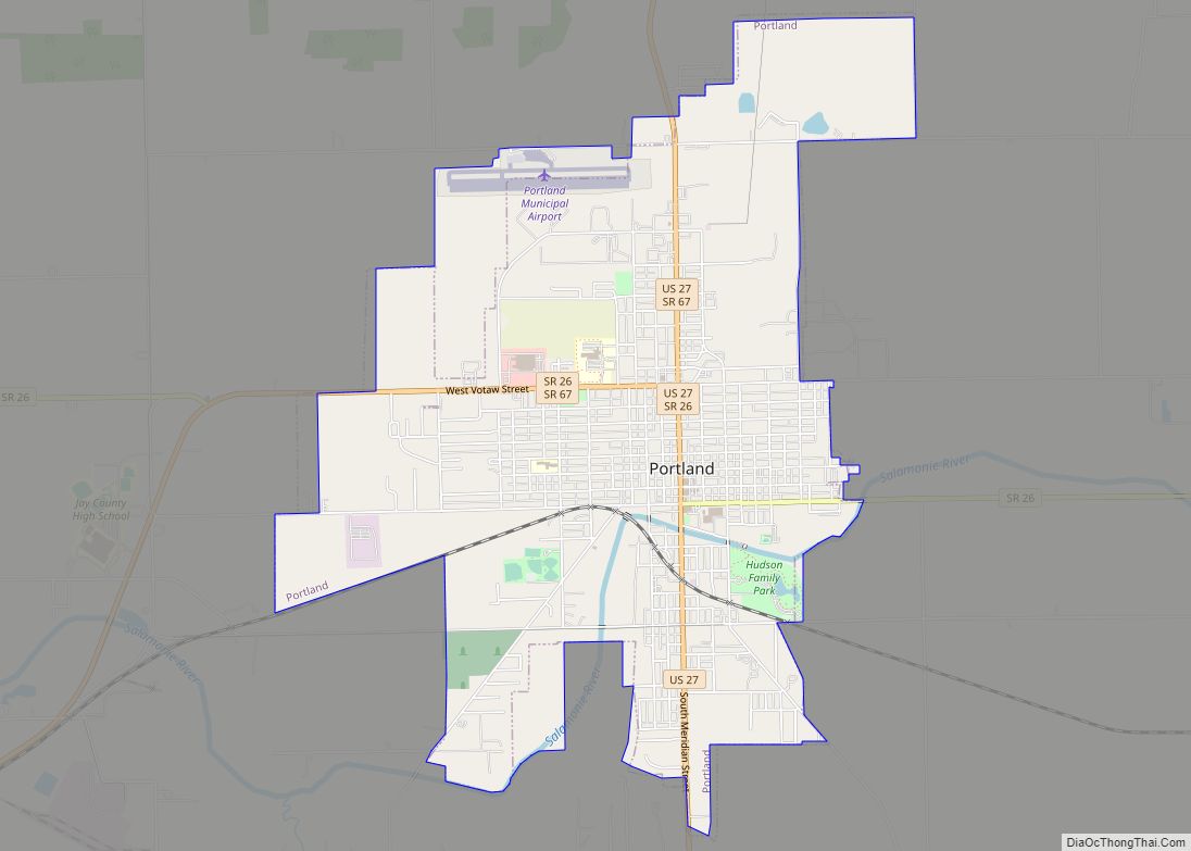
Portland is a city in and the county seat of Jay County, Indiana, United States. The population was 6,223 at the 2010 census, and in 2018 the estimated population was 6,085. Portland city overview: Name: Portland city LSAD Code: 25 LSAD Description: city (suffix) State: Indiana County: Jay County Elevation: 909 ft (277 m) Total Area: 4.88 sq mi ... Read more
Indiana Cities and Places
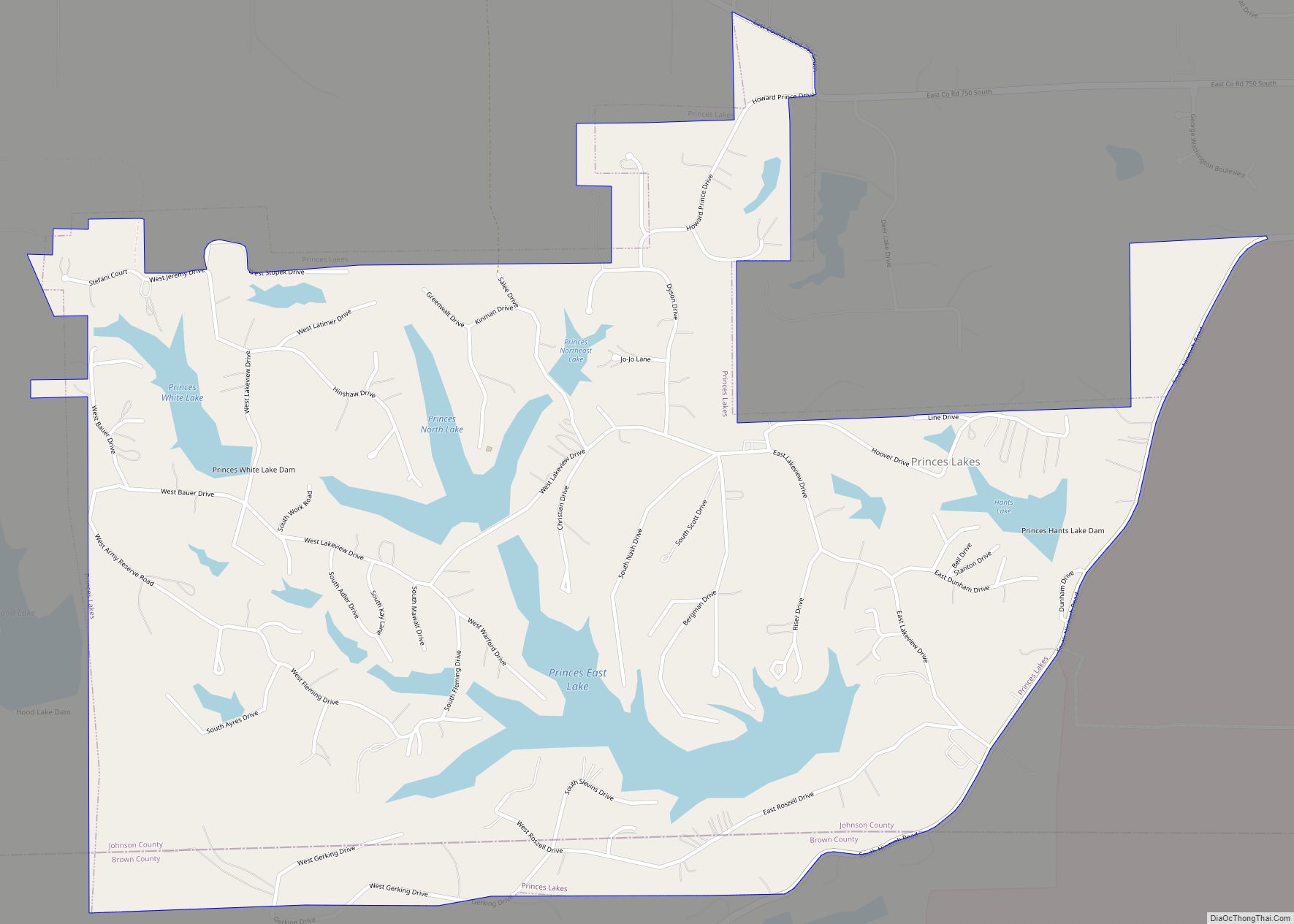
Prince’s Lakes town overview: Name: Prince’s Lakes town LSAD Code: 43 LSAD Description: town (suffix) State: Indiana County: Johnson County FIPS code: 1862028 Online Interactive Map Prince’s Lakes online map. Source: Basemap layers from Google Map, Open Street Map (OSM), Arcgisonline, Wmflabs. Boundary Data from Database of Global Administrative Areas. Prince’s Lakes location map. Where ... Read more
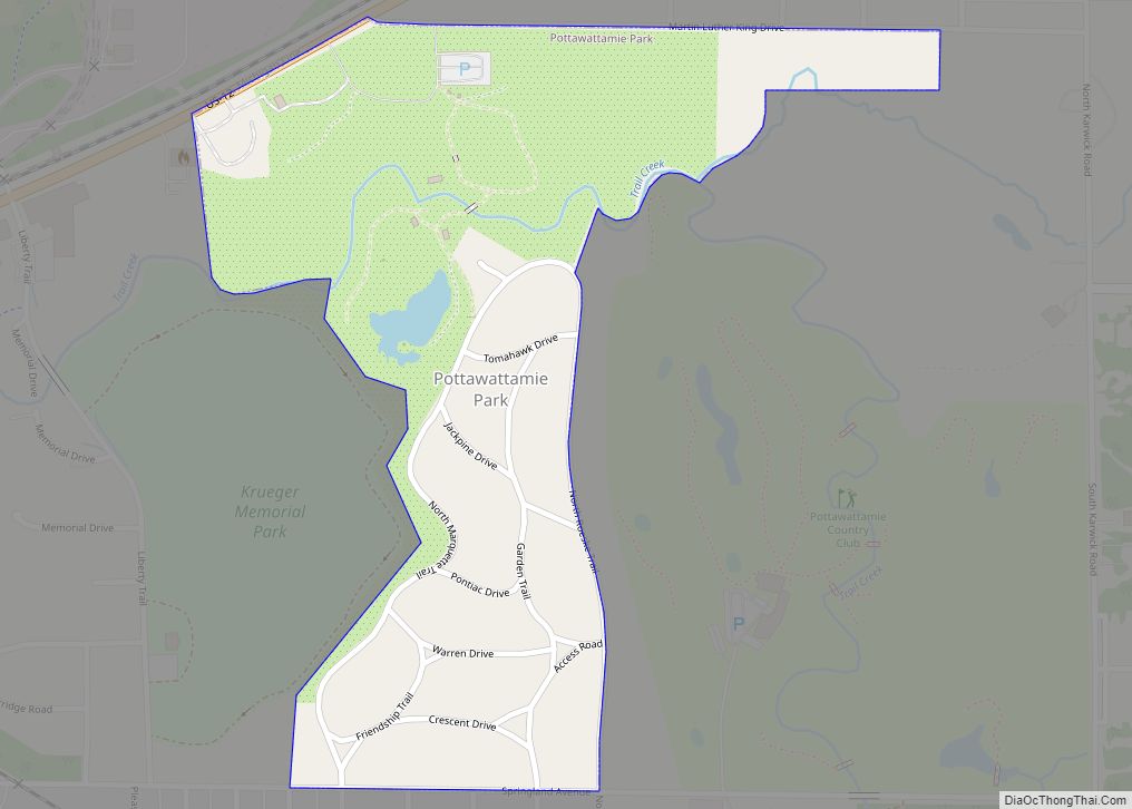
Pottawattamie Park is a town in Michigan Township, LaPorte County, Indiana, United States. The population was 235 at the 2010 census. It is included in the Michigan City, Indiana–La Porte, Indiana Metropolitan Statistical Area. Pottawattamie Park town overview: Name: Pottawattamie Park town LSAD Code: 43 LSAD Description: town (suffix) State: Indiana County: LaPorte County Total ... Read more
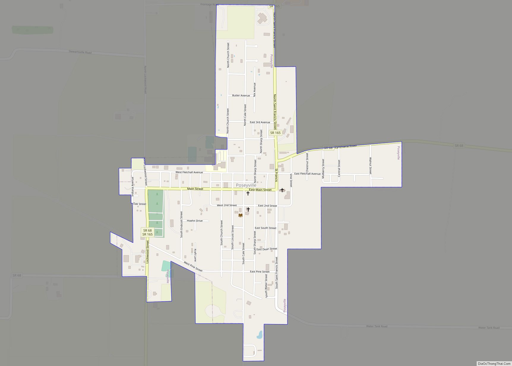
Poseyville is a town in Robb Township, Posey County, in the U.S. state of Indiana. The population was 1,045 at the 2010 census. Poseyville town overview: Name: Poseyville town LSAD Code: 43 LSAD Description: town (suffix) State: Indiana County: Posey County Elevation: 440 ft (130 m) Total Area: 0.65 sq mi (1.67 km²) Land Area: 0.65 sq mi (1.67 km²) Water Area: 0.00 sq mi ... Read more
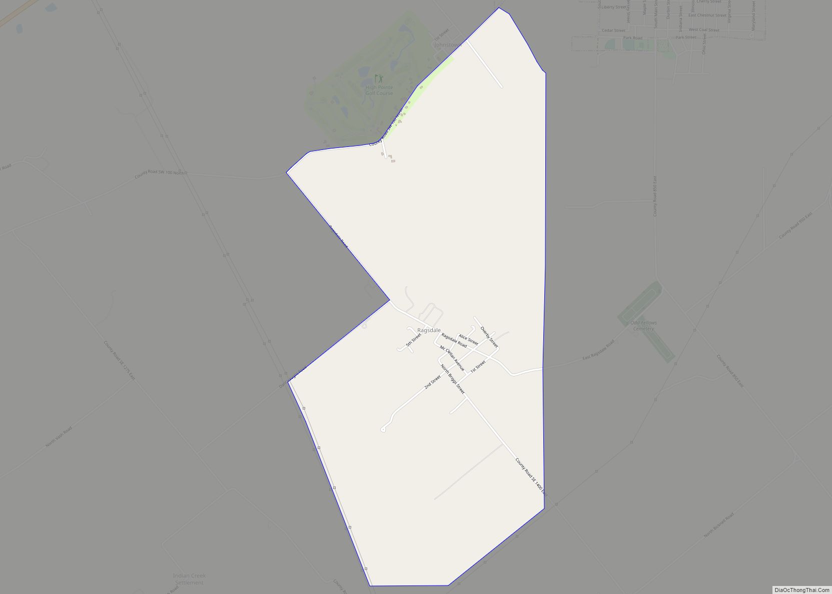
Ragsdale is an unincorporated community and census-designated place in Washington Township, Knox County, Indiana. As of the 2010 census it had a population of 129. Ragsdale CDP overview: Name: Ragsdale CDP LSAD Code: 57 LSAD Description: CDP (suffix) State: Indiana County: Knox County Elevation: 564 ft (172 m) Total Area: 2.23 sq mi (5.77 km²) Land Area: 2.23 sq mi (5.77 km²) Water ... Read more
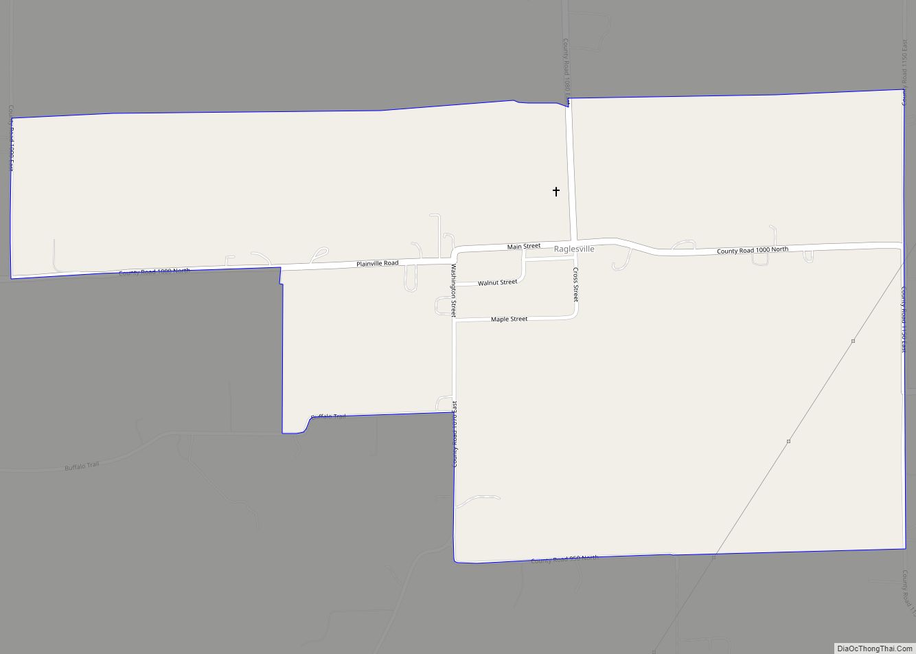
Raglesville is an unincorporated community and census-designated place (CDP) in Van Buren Township, Daviess County, Indiana, United States. As of the 2010 census it had a population of 141. Raglesville CDP overview: Name: Raglesville CDP LSAD Code: 57 LSAD Description: CDP (suffix) State: Indiana County: Daviess County Elevation: 600 ft (200 m) Total Area: 0.86 sq mi (2.22 km²) Land ... Read more
Princeton is the largest city in and the county seat of Patoka Township, Gibson County, Indiana, United States. The population was 8,301 at the 2020 United States Census, and it is part of the greater Evansville, Indiana, Metropolitan Area. Princeton city overview: Name: Princeton city LSAD Code: 25 LSAD Description: city (suffix) State: Indiana County: ... Read more
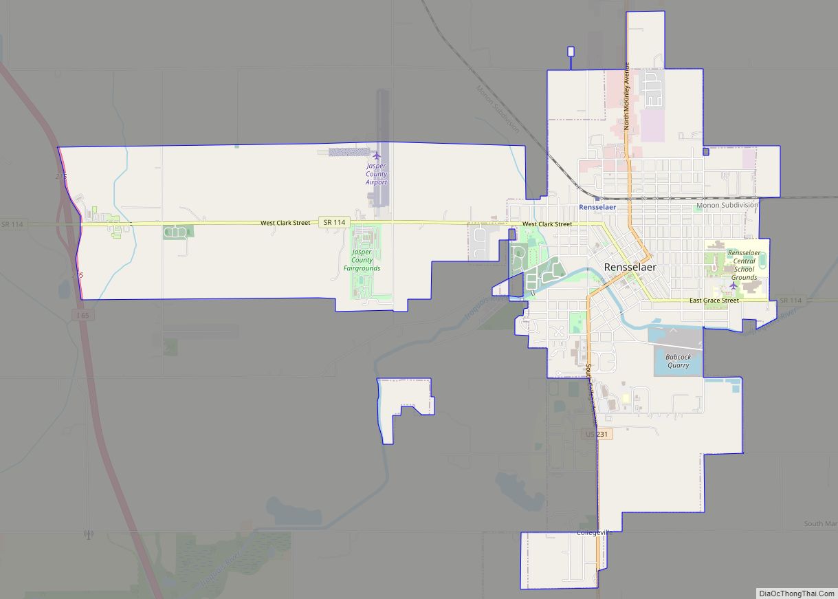
Rensselaer is a city located along the Iroquois River in Marion Township, Jasper County, Indiana, United States. The population was 5,859 at the 2010 census, up from 5,294 at the 2000 census. The city is the county seat of Jasper County. Saint Joseph’s College is located just south of the city limits. Rensselaer city overview: ... Read more
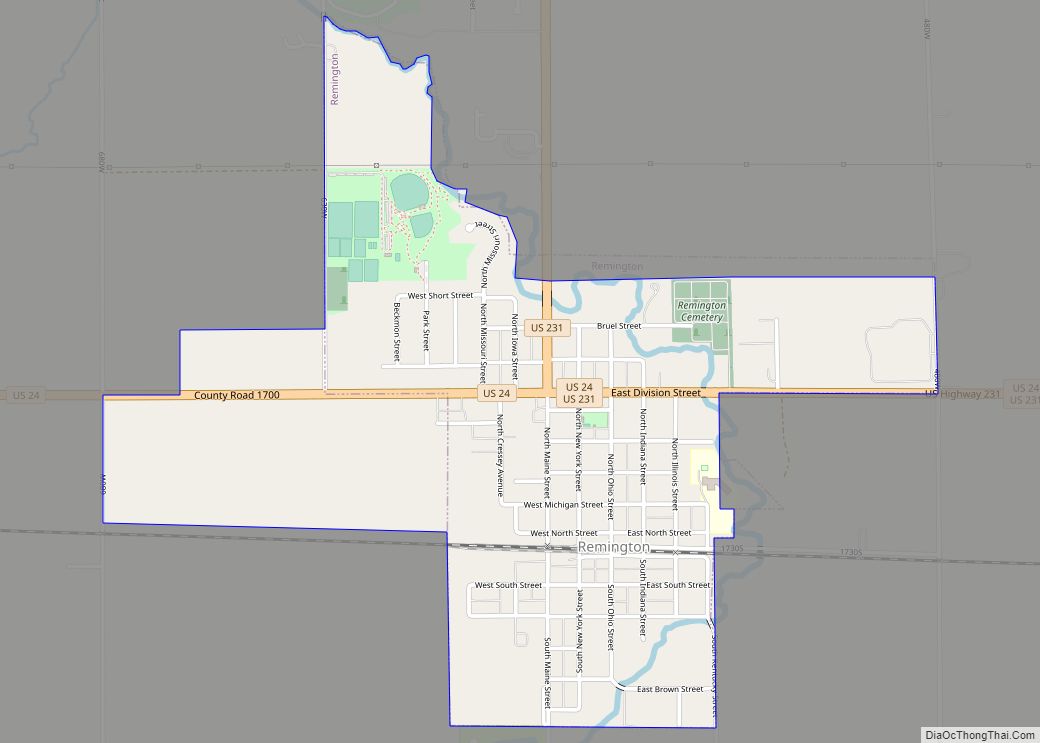
Remington is a town in Carpenter Township, Jasper County, Indiana, United States. The population was 1,185 at the 2010 census. Remington town overview: Name: Remington town LSAD Code: 43 LSAD Description: town (suffix) State: Indiana County: Jasper County Elevation: 725 ft (221 m) Total Area: 3.84 sq mi (9.95 km²) Land Area: 3.81 sq mi (9.88 km²) Water Area: 0.03 sq mi (0.07 km²) Total Population: ... Read more
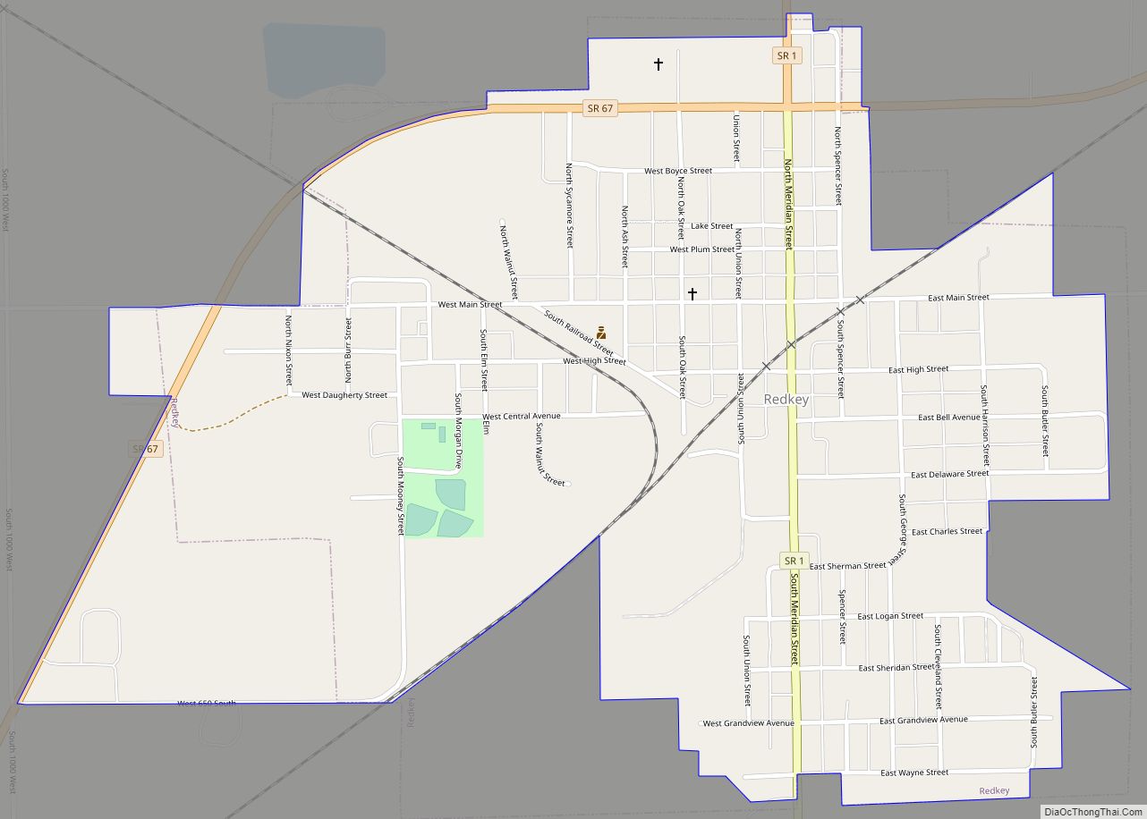
Redkey is a town in Richland Township, Jay County, Indiana, United States. The population was 1,353 at the 2010 census. Redkey town overview: Name: Redkey town LSAD Code: 43 LSAD Description: town (suffix) State: Indiana County: Jay County Elevation: 961 ft (293 m) Total Area: 0.87 sq mi (2.26 km²) Land Area: 0.87 sq mi (2.26 km²) Water Area: 0.00 sq mi (0.00 km²) Total Population: ... Read more
Richmond (/ˈrɪtʃmənd/) is a city in eastern Wayne County, Indiana, United States. Bordering the state of Ohio, it is the county seat of Wayne County. In the 2020 census, the city had a population of 35,720. It is the principal city of the Richmond micropolitan area. Situated largely within Wayne Township, its area includes a ... Read more
Richland town overview: Name: Richland town LSAD Code: 43 LSAD Description: town (suffix) State: Indiana County: Spencer County FIPS code: 1864206 Online Interactive Map Richland online map. Source: Basemap layers from Google Map, Open Street Map (OSM), Arcgisonline, Wmflabs. Boundary Data from Database of Global Administrative Areas. Richland location map. Where is Richland town? Richland ... Read more
