Remington is a town in Carpenter Township, Jasper County, Indiana, United States. The population was 1,185 at the 2010 census.
| Name: | Remington town |
|---|---|
| LSAD Code: | 43 |
| LSAD Description: | town (suffix) |
| State: | Indiana |
| County: | Jasper County |
| Elevation: | 725 ft (221 m) |
| Total Area: | 3.84 sq mi (9.95 km²) |
| Land Area: | 3.81 sq mi (9.88 km²) |
| Water Area: | 0.03 sq mi (0.07 km²) |
| Total Population: | 1,356 |
| Population Density: | 355.53/sq mi (137.26/km²) |
| ZIP code: | 47977 |
| Area code: | 219 |
| FIPS code: | 1863756 |
| GNISfeature ID: | 2396873 |
| Website: | http://remingtonindiana.com/ |
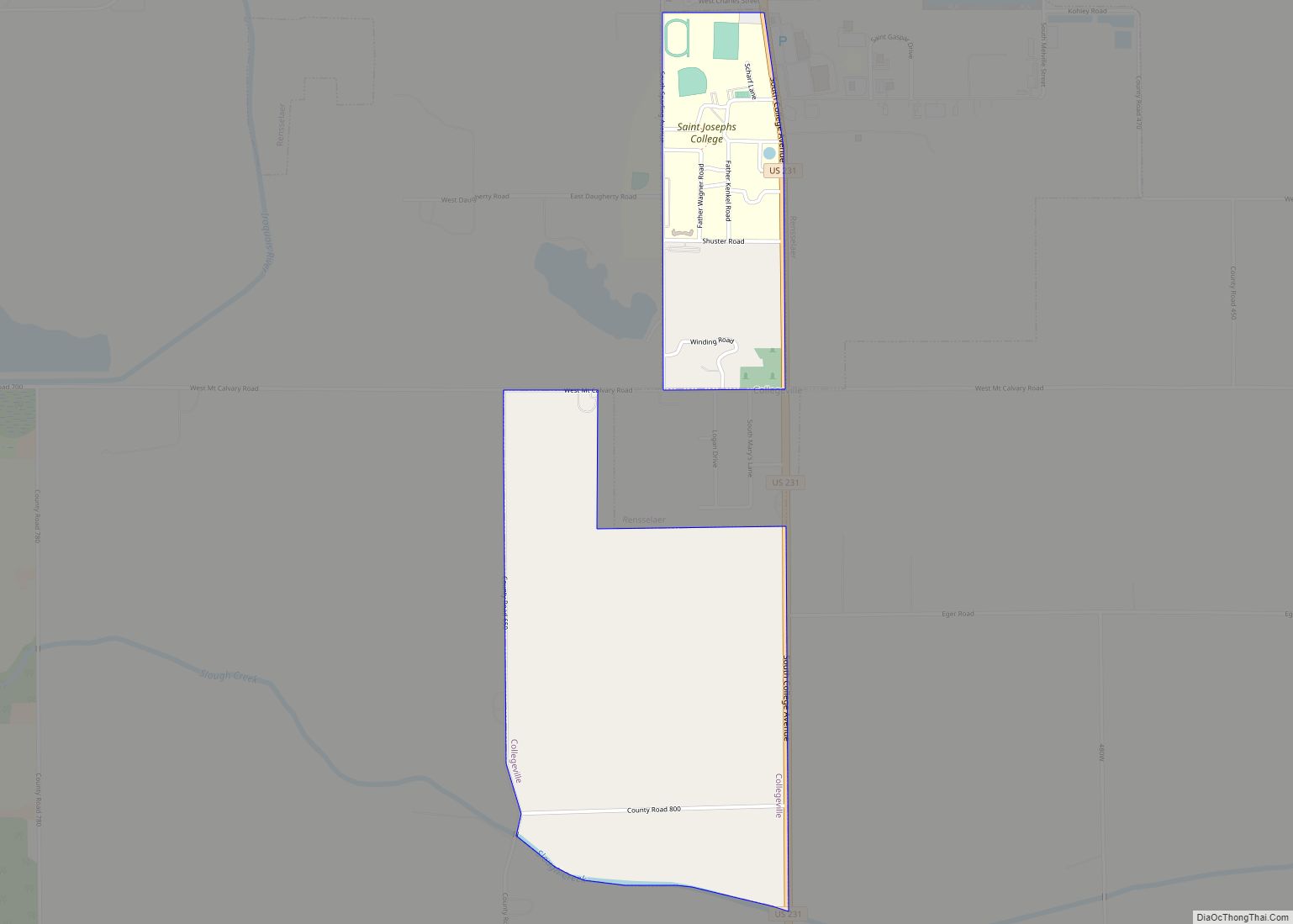
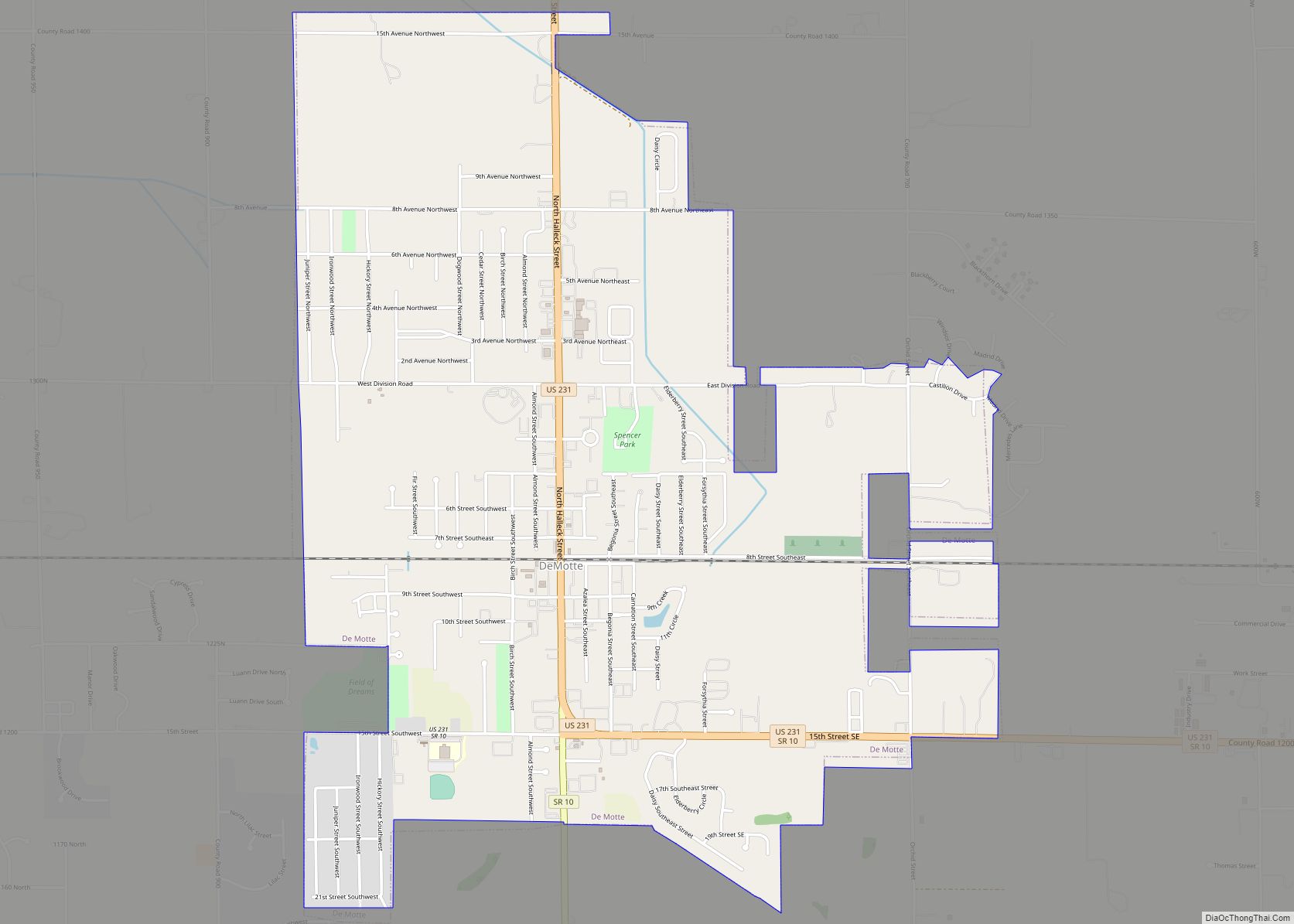
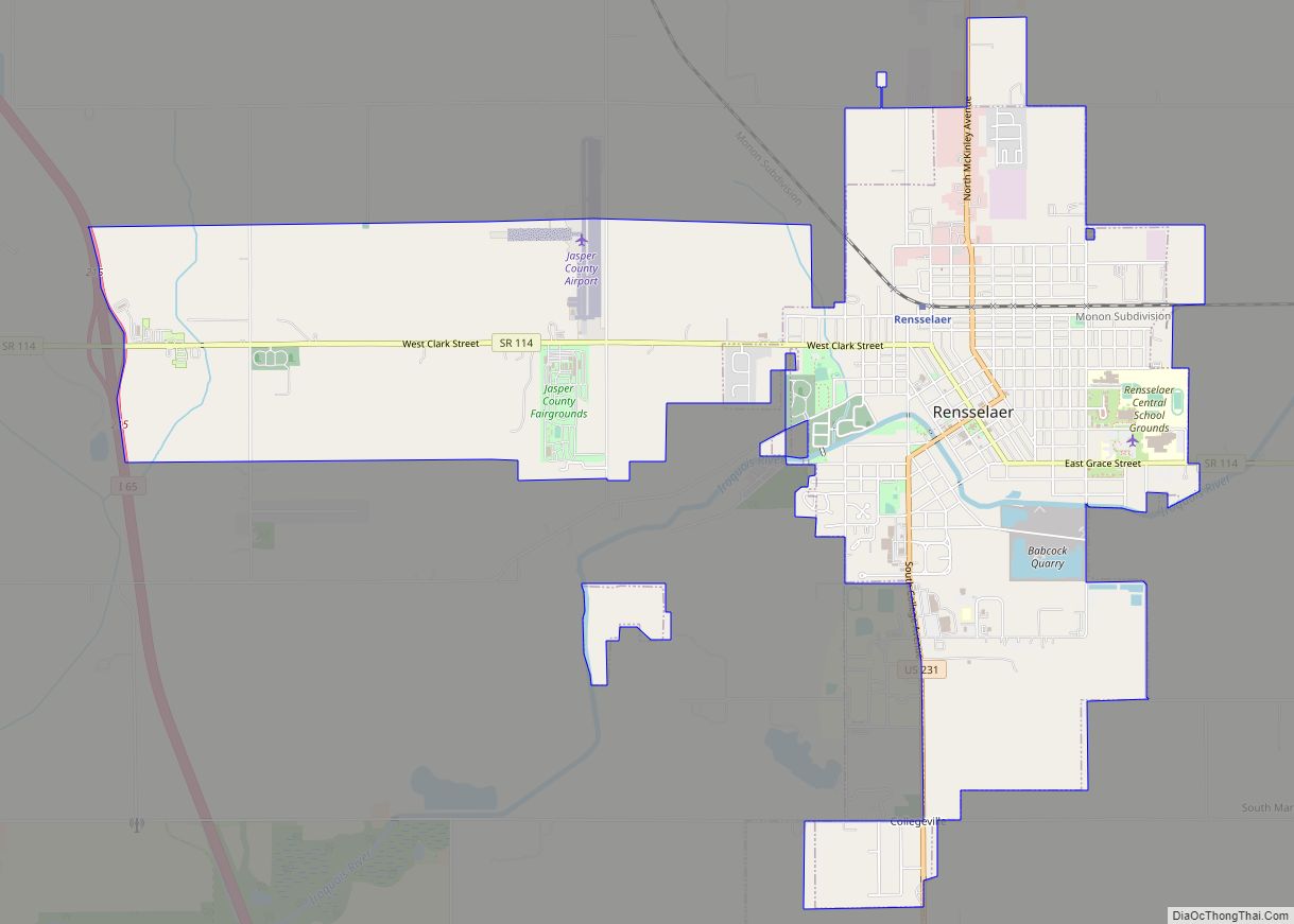
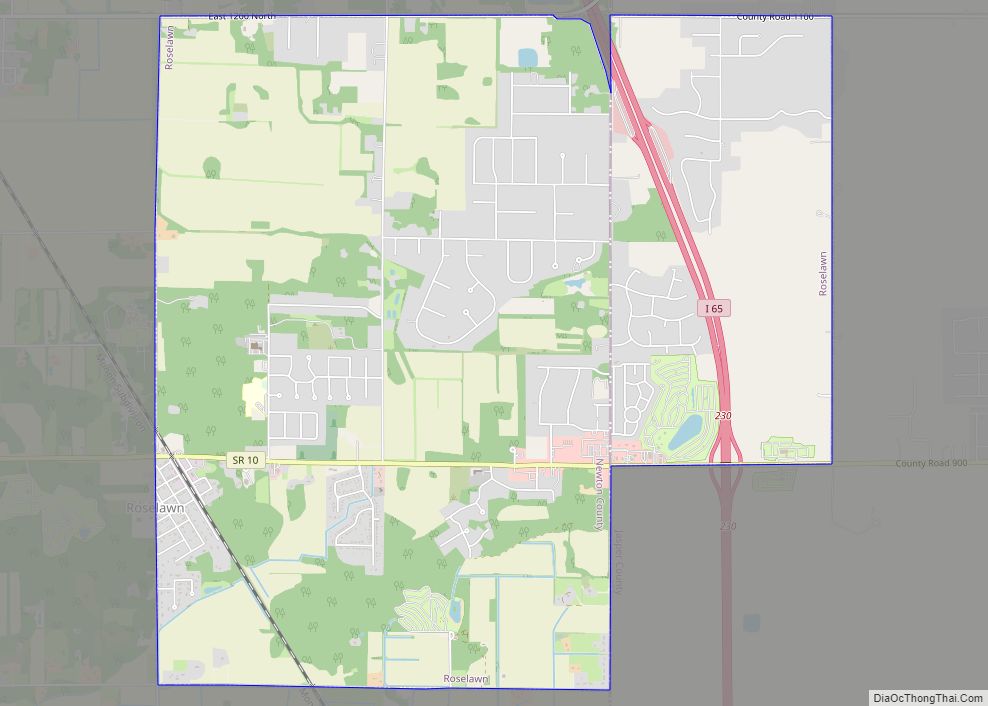
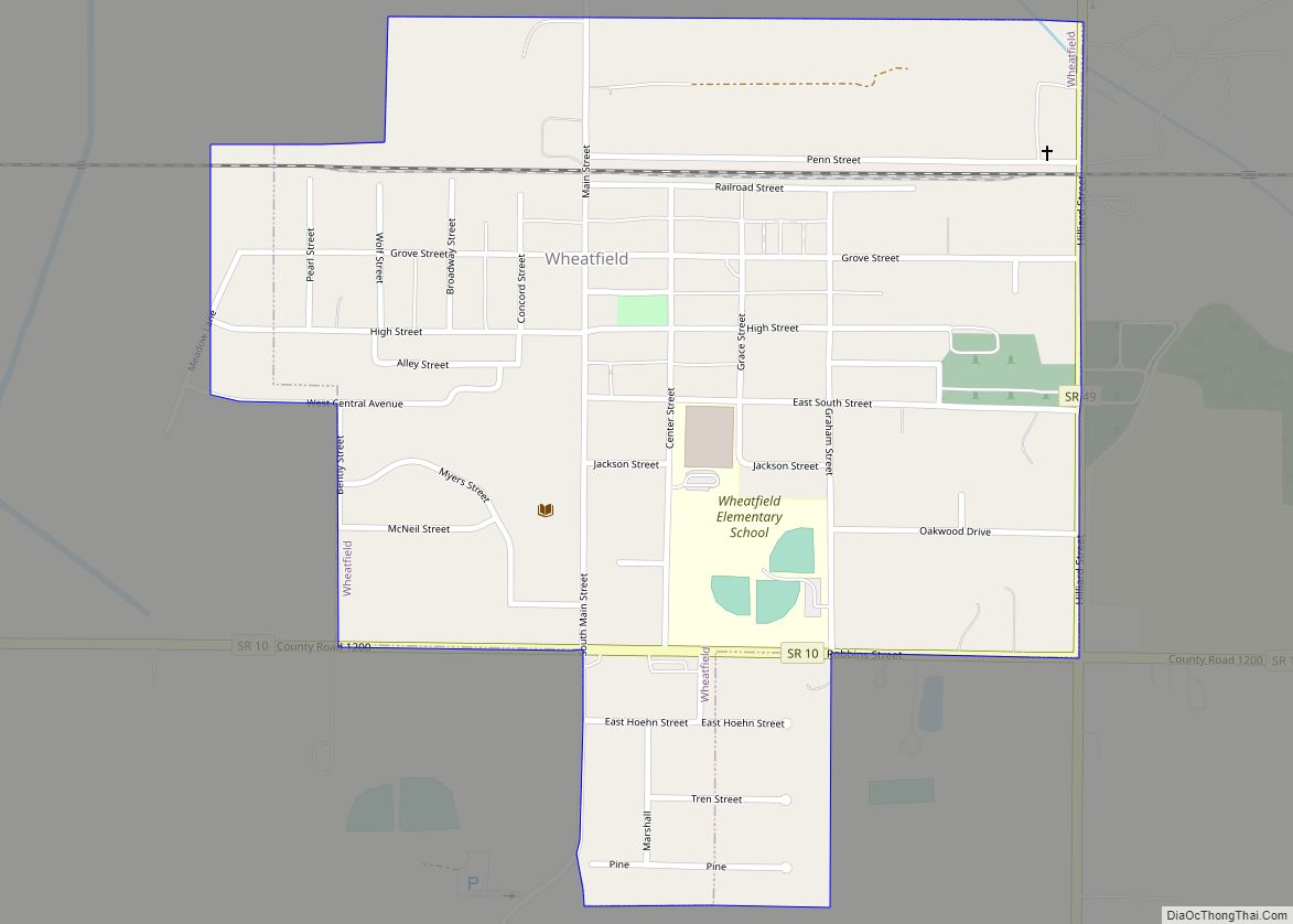
Online Interactive Map
Click on ![]() to view map in "full screen" mode.
to view map in "full screen" mode.
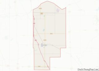
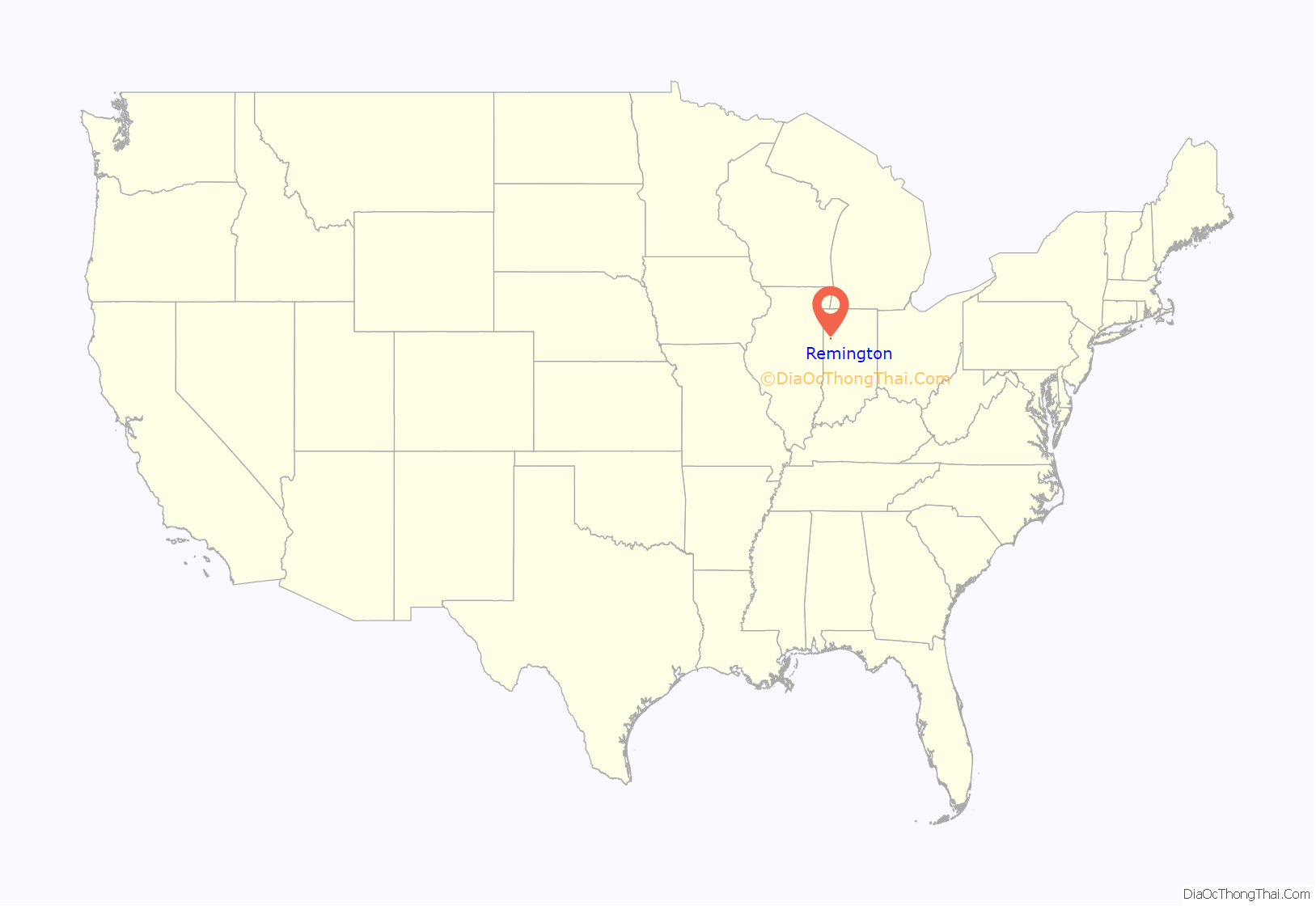
Remington location map. Where is Remington town?

History
Remington was first laid out in 1860 by Jesse H. Fordice. It was originally called Carpenter Station, after Carpenter’s Creek where a railroad station had been established, around which the town grew. The name was later changed to Remington, after the founder of the general store. The main trade was in grain, as the area consisted of excellent prairie farmland; the town’s position on the Pittsburgh, Chicago and St. Louis Railroad made it a good location for such trade. The first grain elevator was built in 1870 by Church and Hartley; the second was built by the Hathaway Brothers in 1872; and in 1879, James Irvin built a third. In 1883 the population was about 900.
Remington Water Tower and Town Hall was listed on the National Register of Historic Places in 2003.
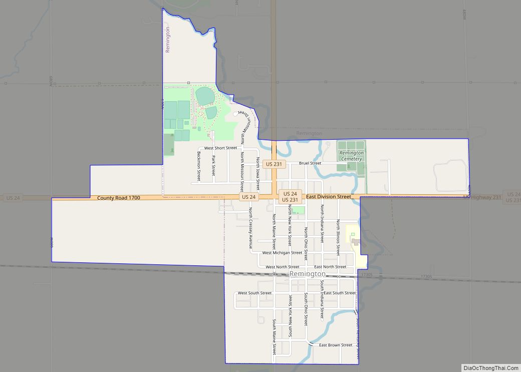
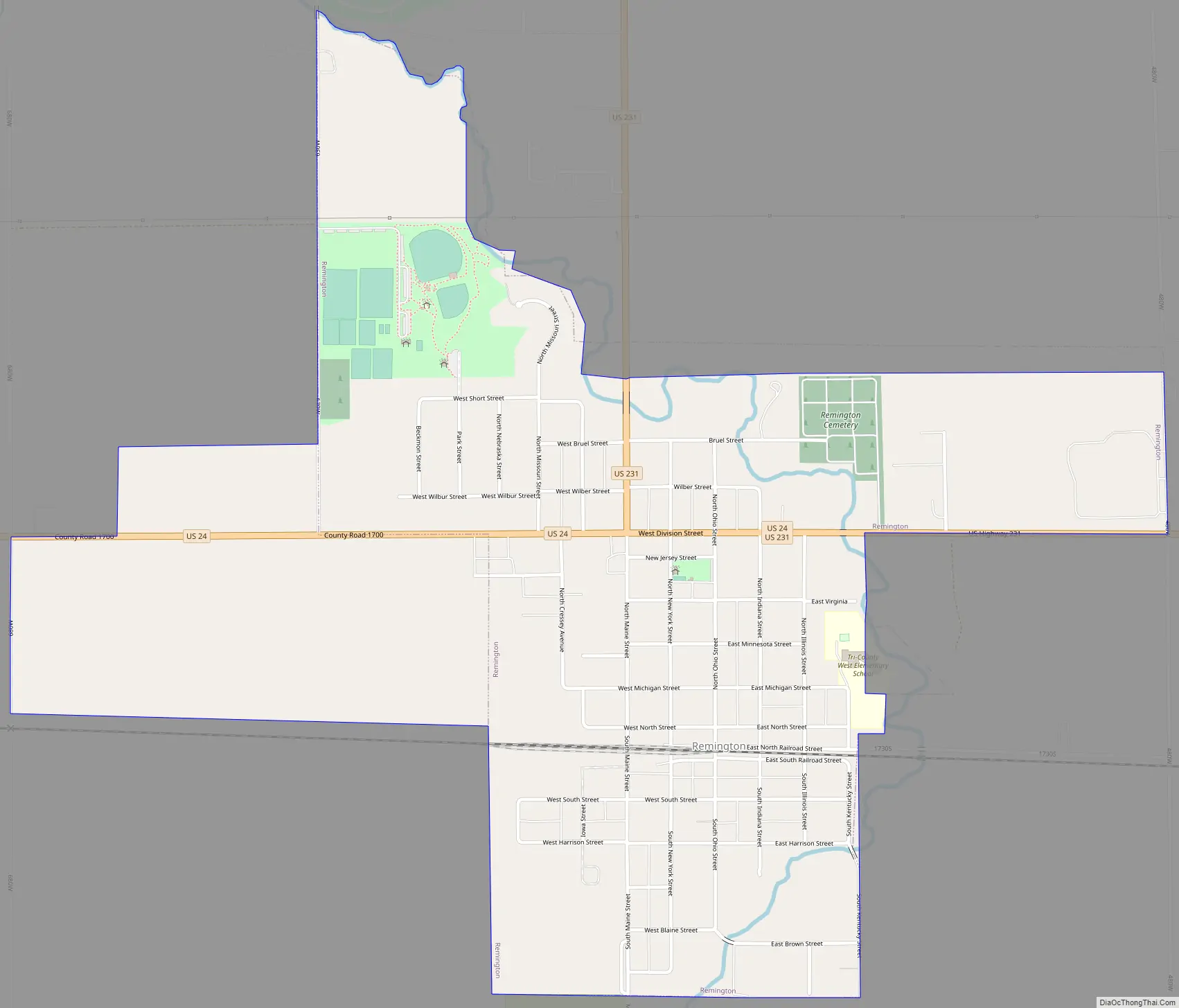
Remington Road Map
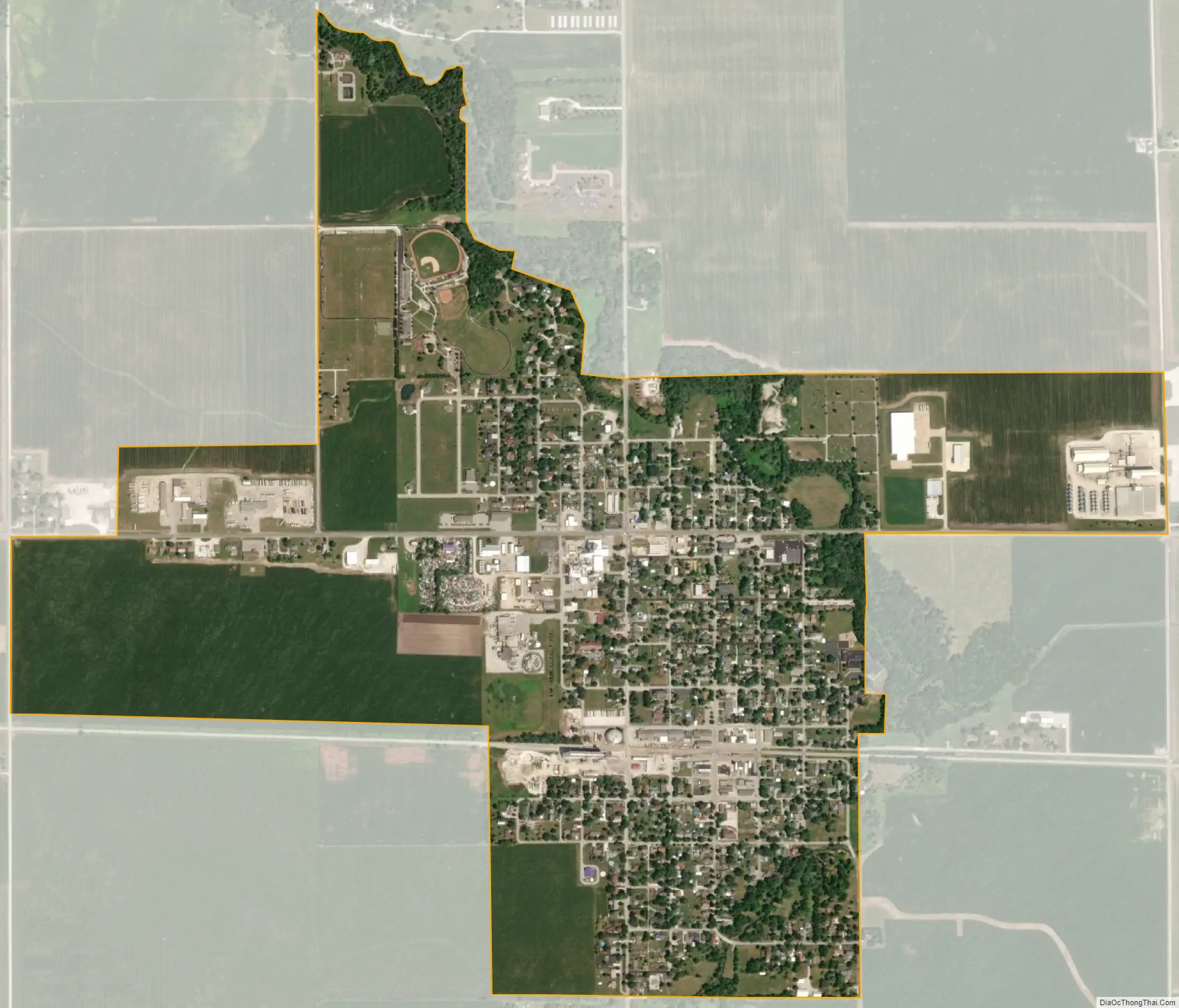
Remington city Satellite Map
Geography
Remington is located about 90 miles northwest of Indianapolis and about 90 miles southeast of Chicago. It is about a mile west of Interstate 65; U.S. Route 24 and U.S. Route 231 pass through the town. Remington is located in the EST Time Zone.
According to the 2010 census, Remington has a total area of 1.02 square miles (2.64 km), all land.
See also
Map of Indiana State and its subdivision:- Adams
- Allen
- Bartholomew
- Benton
- Blackford
- Boone
- Brown
- Carroll
- Cass
- Clark
- Clay
- Clinton
- Crawford
- Daviess
- De Kalb
- Dearborn
- Decatur
- Delaware
- Dubois
- Elkhart
- Fayette
- Floyd
- Fountain
- Franklin
- Fulton
- Gibson
- Grant
- Greene
- Hamilton
- Hancock
- Harrison
- Hendricks
- Henry
- Howard
- Huntington
- Jackson
- Jasper
- Jay
- Jefferson
- Jennings
- Johnson
- Knox
- Kosciusko
- LaGrange
- Lake
- Lake Michigan
- LaPorte
- Lawrence
- Madison
- Marion
- Marshall
- Martin
- Miami
- Monroe
- Montgomery
- Morgan
- Newton
- Noble
- Ohio
- Orange
- Owen
- Parke
- Perry
- Pike
- Porter
- Posey
- Pulaski
- Putnam
- Randolph
- Ripley
- Rush
- Saint Joseph
- Scott
- Shelby
- Spencer
- Starke
- Steuben
- Sullivan
- Switzerland
- Tippecanoe
- Tipton
- Union
- Vanderburgh
- Vermillion
- Vigo
- Wabash
- Warren
- Warrick
- Washington
- Wayne
- Wells
- White
- Whitley
- Alabama
- Alaska
- Arizona
- Arkansas
- California
- Colorado
- Connecticut
- Delaware
- District of Columbia
- Florida
- Georgia
- Hawaii
- Idaho
- Illinois
- Indiana
- Iowa
- Kansas
- Kentucky
- Louisiana
- Maine
- Maryland
- Massachusetts
- Michigan
- Minnesota
- Mississippi
- Missouri
- Montana
- Nebraska
- Nevada
- New Hampshire
- New Jersey
- New Mexico
- New York
- North Carolina
- North Dakota
- Ohio
- Oklahoma
- Oregon
- Pennsylvania
- Rhode Island
- South Carolina
- South Dakota
- Tennessee
- Texas
- Utah
- Vermont
- Virginia
- Washington
- West Virginia
- Wisconsin
- Wyoming