Rensselaer is a city located along the Iroquois River in Marion Township, Jasper County, Indiana, United States. The population was 5,859 at the 2010 census, up from 5,294 at the 2000 census. The city is the county seat of Jasper County. Saint Joseph’s College is located just south of the city limits.
| Name: | Rensselaer city |
|---|---|
| LSAD Code: | 25 |
| LSAD Description: | city (suffix) |
| State: | Indiana |
| County: | Jasper County |
| Incorporated: | December 8, 1858 |
| Elevation: | 659 ft (201 m) |
| Total Area: | 6.73 sq mi (17.44 km²) |
| Land Area: | 6.73 sq mi (17.43 km²) |
| Water Area: | 0.01 sq mi (0.01 km²) |
| Total Population: | 5,733 |
| Population Density: | 852.11/sq mi (328.99/km²) |
| ZIP code: | 47978 |
| Area code: | 219 |
| FIPS code: | 1863792 |
| GNISfeature ID: | 2396349 |
| Website: | cityofrensselaerin.com |
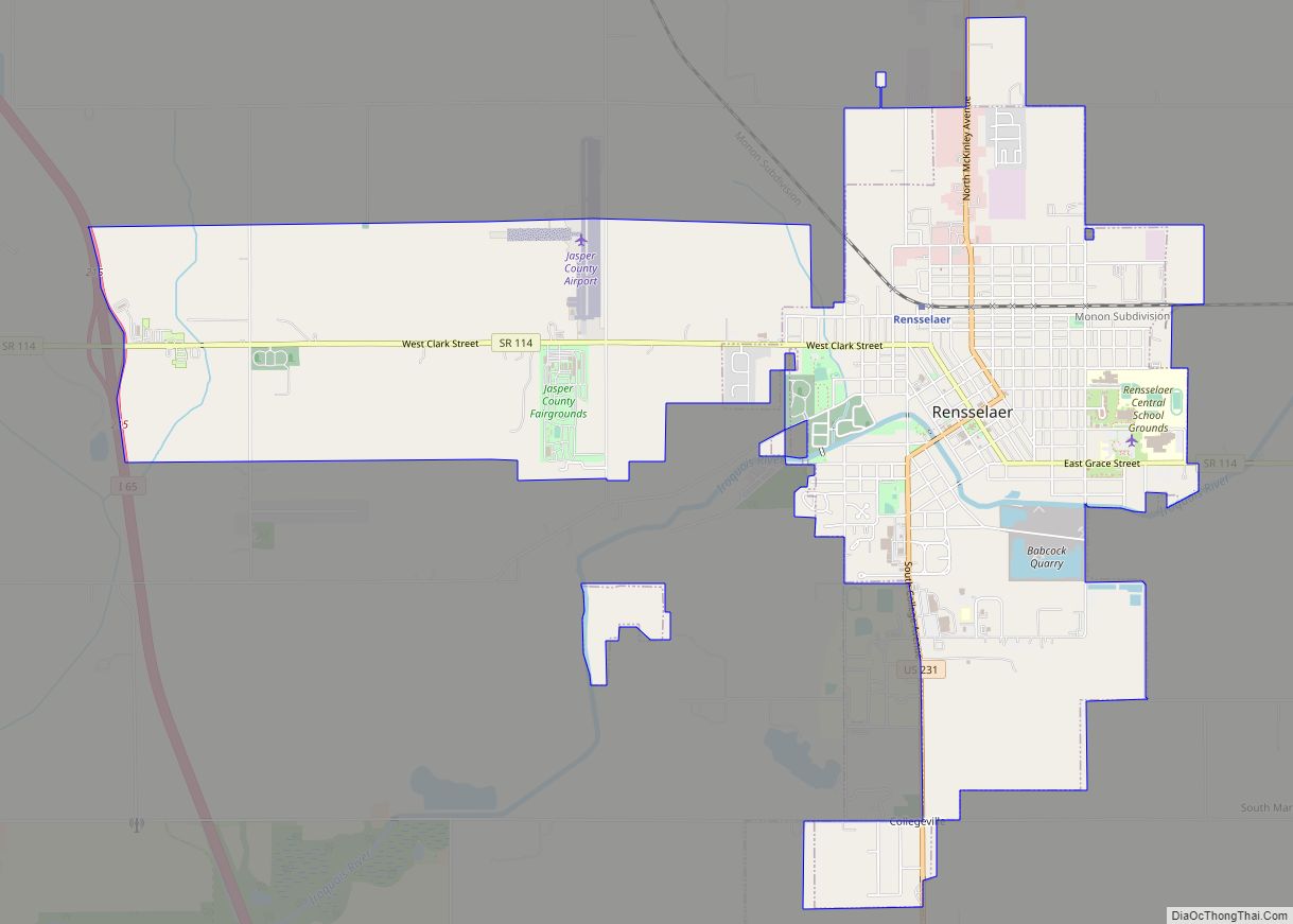
Online Interactive Map
Click on ![]() to view map in "full screen" mode.
to view map in "full screen" mode.
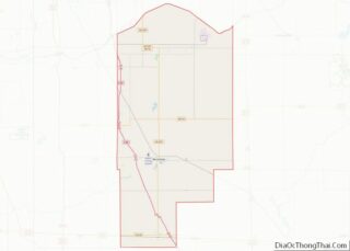
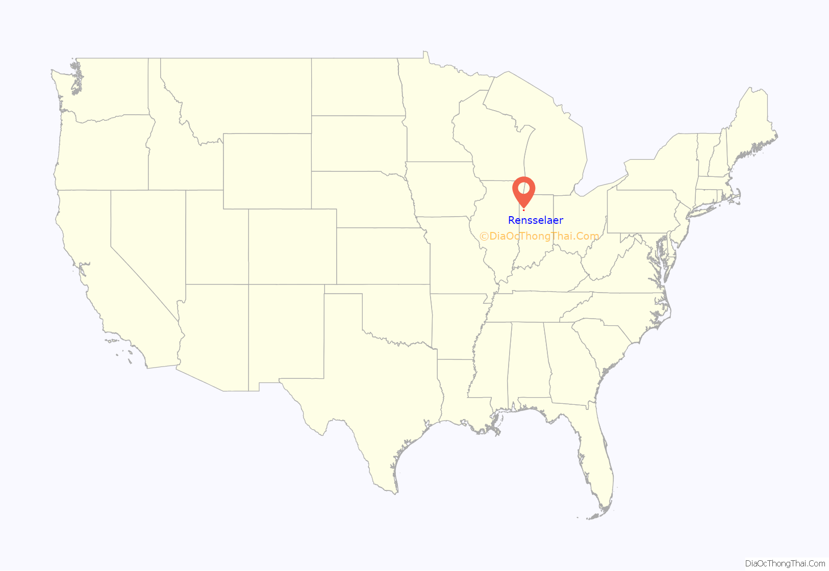
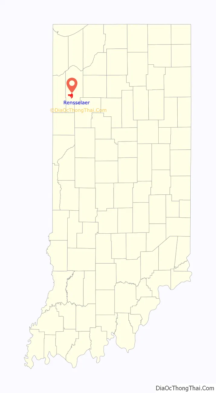
Rensselaer location map. Where is Rensselaer city?
History
This settlement, first platted on June 12, 1839, was originally named “Newton” and was established at the rapids of the Iroquois River. By 1844, it had been renamed “Rensselaer”, after James Van Rensselaer, a merchant from Utica, New York, who came to the area after his business failed in the Panic of 1837. He took over the land from Joseph D. Yeoman, who had established a farm some years earlier and had begun to plan the village.
St. Joseph Indian Normal School was established in 1888 by St. Katherine Drexel, an heiress from Philadelphia, who donated $50,000 for the education of Catholic American Indian boys. The school trained 60 boys annually until 1896. The school was operated by the Bureau of Catholic Indian Missions.
In addition to St. Joseph Indian Normal School, the Jasper County Courthouse, Oren F. and Adelia Parker House, Rensselaer Carnegie Library, and Rensselaer Courthouse Square Historic District are listed on the National Register of Historic Places.
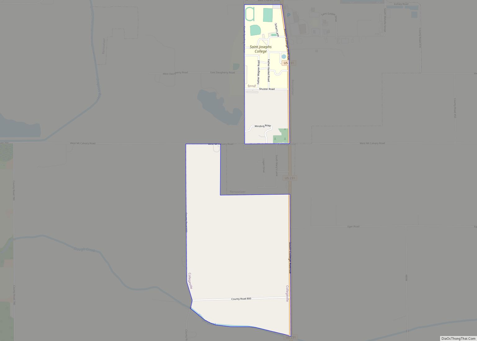
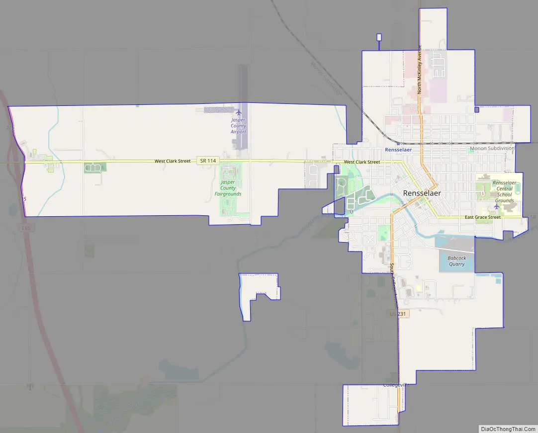
Rensselaer Road Map
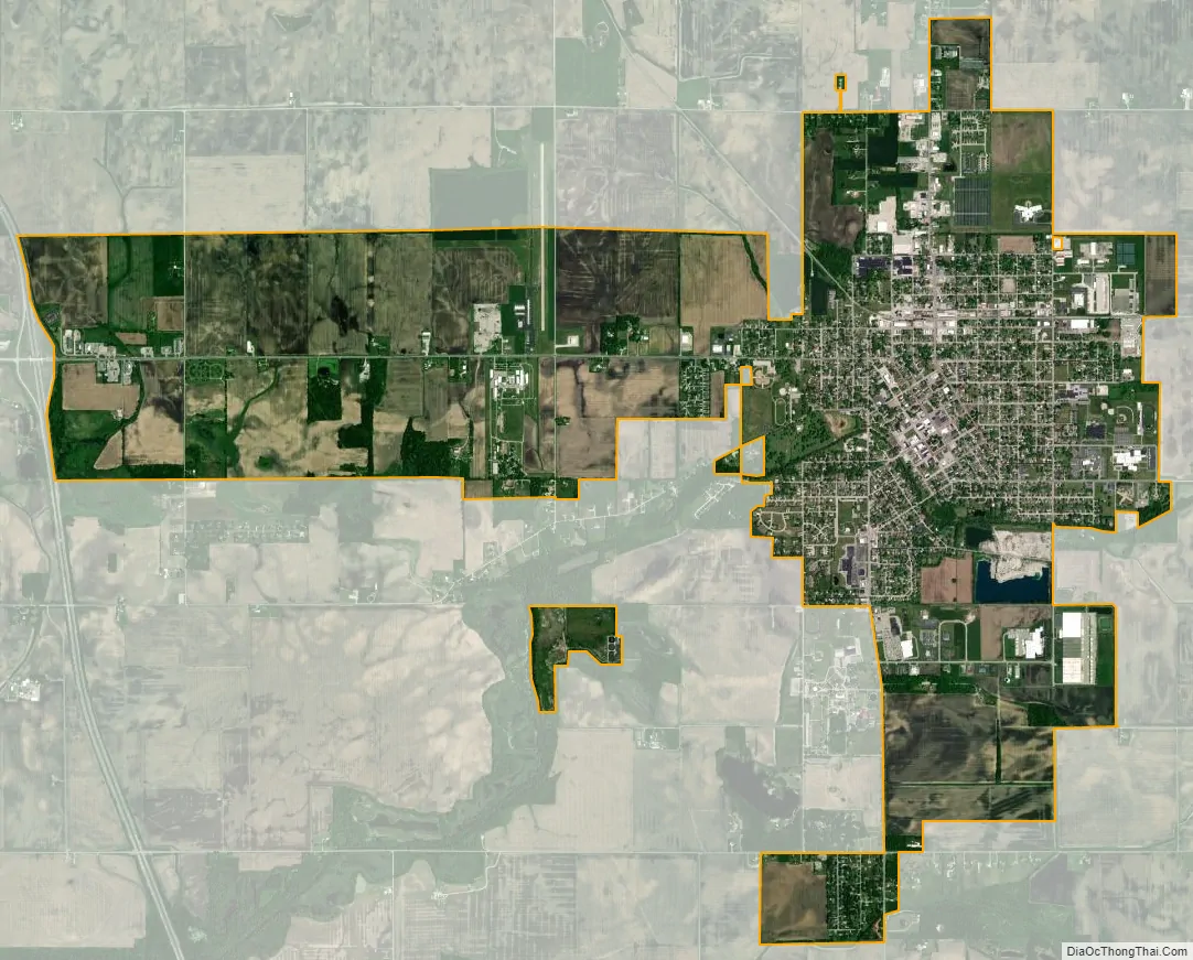
Rensselaer city Satellite Map
Geography
Rensselaer is located southwest of the center of Jasper County. It is bordered to the south by the unincorporated community of Collegeville, home to Saint Joseph’s College. The Iroquois River, a tributary of the Kankakee River and hence part of the Illinois River watershed, flows from east to west through the south part of the city.
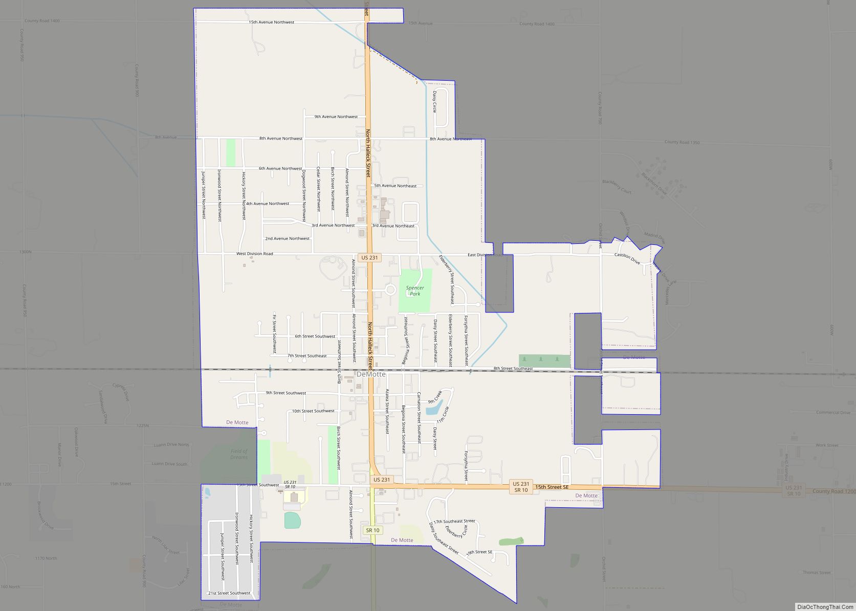
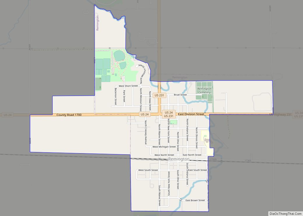
U.S. Route 231 and Indiana State Road 114 intersect in the downtown area. US-231 leads north 20 miles (32 km) to DeMotte and south 12 miles (19 km) to Remington, while State Road 114 leads east 13 miles (21 km) to U.S. Route 421 and west 3.5 miles (5.6 km) to Interstate 65. Via I-65, Rensselaer is 42 miles (68 km) north of Lafayette and 54 miles (87 km) south of Gary.
According to the 2010 census, Rensselaer has a total area of 3.86 square miles (10.00 km), of which 3.8 square miles (9.84 km) (or 98.45%) is land and 0.06 square miles (0.16 km) (or 1.55%) is water.
See also
Map of Indiana State and its subdivision:- Adams
- Allen
- Bartholomew
- Benton
- Blackford
- Boone
- Brown
- Carroll
- Cass
- Clark
- Clay
- Clinton
- Crawford
- Daviess
- De Kalb
- Dearborn
- Decatur
- Delaware
- Dubois
- Elkhart
- Fayette
- Floyd
- Fountain
- Franklin
- Fulton
- Gibson
- Grant
- Greene
- Hamilton
- Hancock
- Harrison
- Hendricks
- Henry
- Howard
- Huntington
- Jackson
- Jasper
- Jay
- Jefferson
- Jennings
- Johnson
- Knox
- Kosciusko
- LaGrange
- Lake
- Lake Michigan
- LaPorte
- Lawrence
- Madison
- Marion
- Marshall
- Martin
- Miami
- Monroe
- Montgomery
- Morgan
- Newton
- Noble
- Ohio
- Orange
- Owen
- Parke
- Perry
- Pike
- Porter
- Posey
- Pulaski
- Putnam
- Randolph
- Ripley
- Rush
- Saint Joseph
- Scott
- Shelby
- Spencer
- Starke
- Steuben
- Sullivan
- Switzerland
- Tippecanoe
- Tipton
- Union
- Vanderburgh
- Vermillion
- Vigo
- Wabash
- Warren
- Warrick
- Washington
- Wayne
- Wells
- White
- Whitley
- Alabama
- Alaska
- Arizona
- Arkansas
- California
- Colorado
- Connecticut
- Delaware
- District of Columbia
- Florida
- Georgia
- Hawaii
- Idaho
- Illinois
- Indiana
- Iowa
- Kansas
- Kentucky
- Louisiana
- Maine
- Maryland
- Massachusetts
- Michigan
- Minnesota
- Mississippi
- Missouri
- Montana
- Nebraska
- Nevada
- New Hampshire
- New Jersey
- New Mexico
- New York
- North Carolina
- North Dakota
- Ohio
- Oklahoma
- Oregon
- Pennsylvania
- Rhode Island
- South Carolina
- South Dakota
- Tennessee
- Texas
- Utah
- Vermont
- Virginia
- Washington
- West Virginia
- Wisconsin
- Wyoming