Princeton is the largest city in and the county seat of Patoka Township, Gibson County, Indiana, United States. The population was 8,301 at the 2020 United States Census, and it is part of the greater Evansville, Indiana, Metropolitan Area.
| Name: | Princeton city |
|---|---|
| LSAD Code: | 25 |
| LSAD Description: | city (suffix) |
| State: | Indiana |
| County: | Gibson County |
| Elevation: | 459 ft (140 m) |
| Total Area: | 5.48 sq mi (14.19 km²) |
| Land Area: | 5.47 sq mi (14.18 km²) |
| Water Area: | 0.01 sq mi (0.01 km²) 0.20% |
| Total Population: | 8,301 |
| Population Density: | 1,516.16/sq mi (585.39/km²) |
| ZIP code: | 47670 |
| Area code: | 812 |
| FIPS code: | 1862046 |
| GNISfeature ID: | 2396277 |
| Website: | https://www.princeton.in.gov/ |
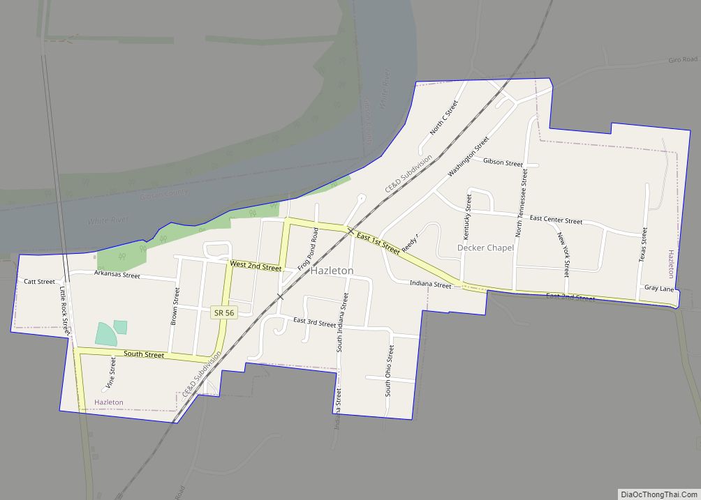
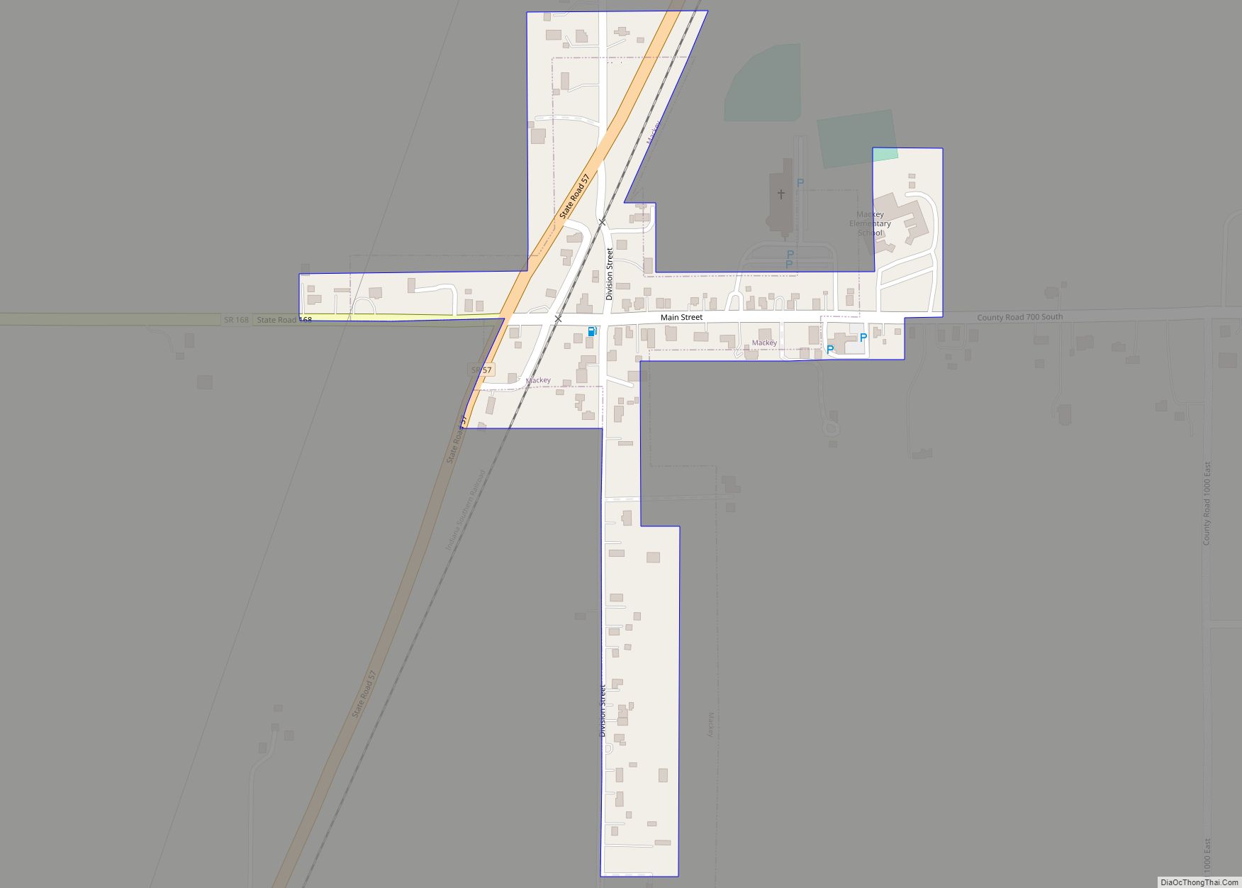
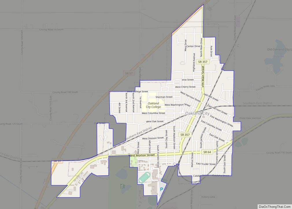
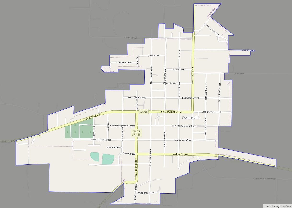
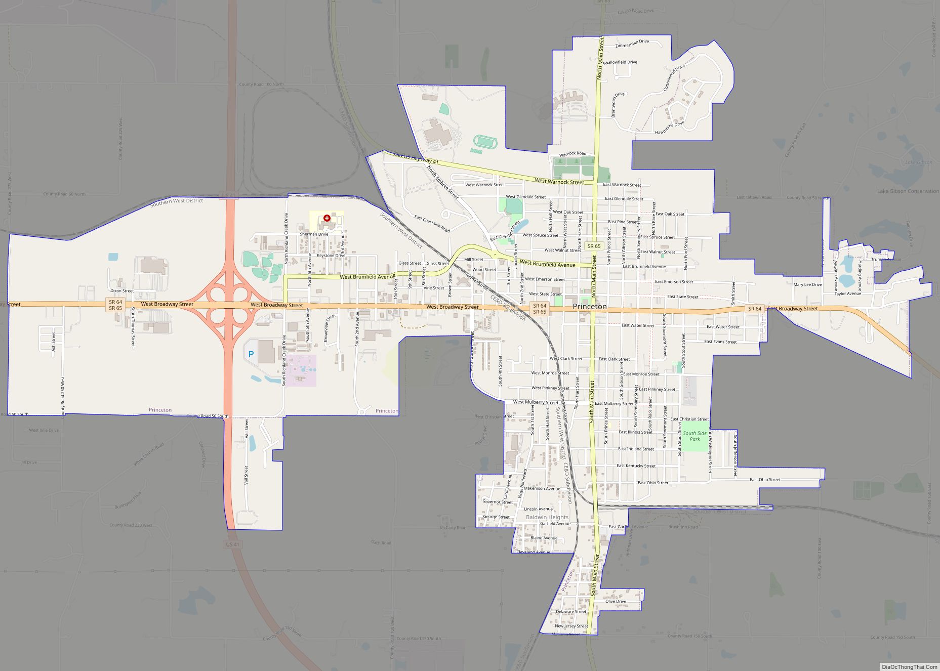
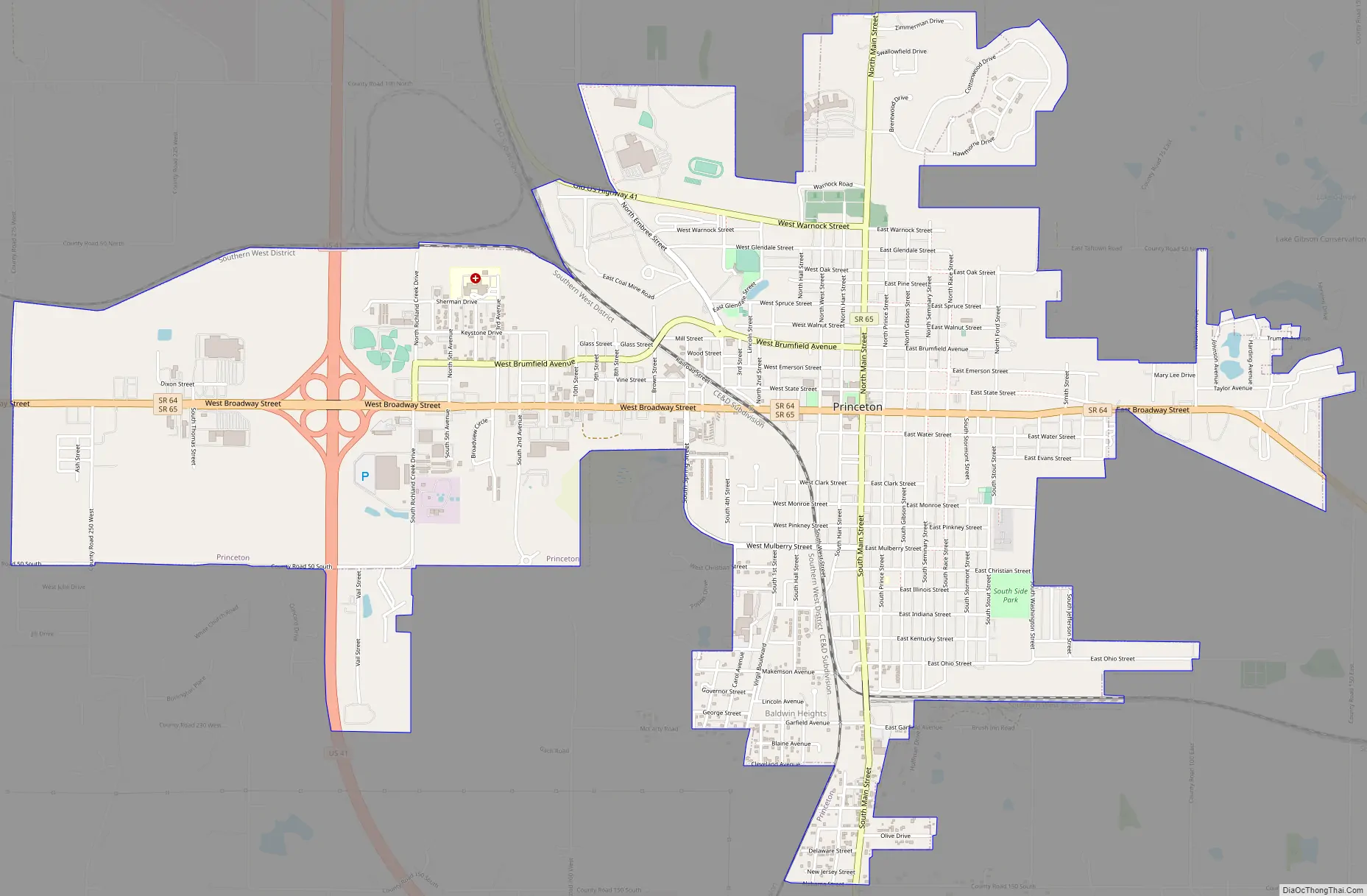
Online Interactive Map
Click on ![]() to view map in "full screen" mode.
to view map in "full screen" mode.
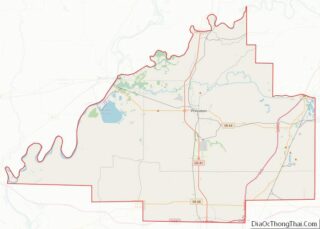
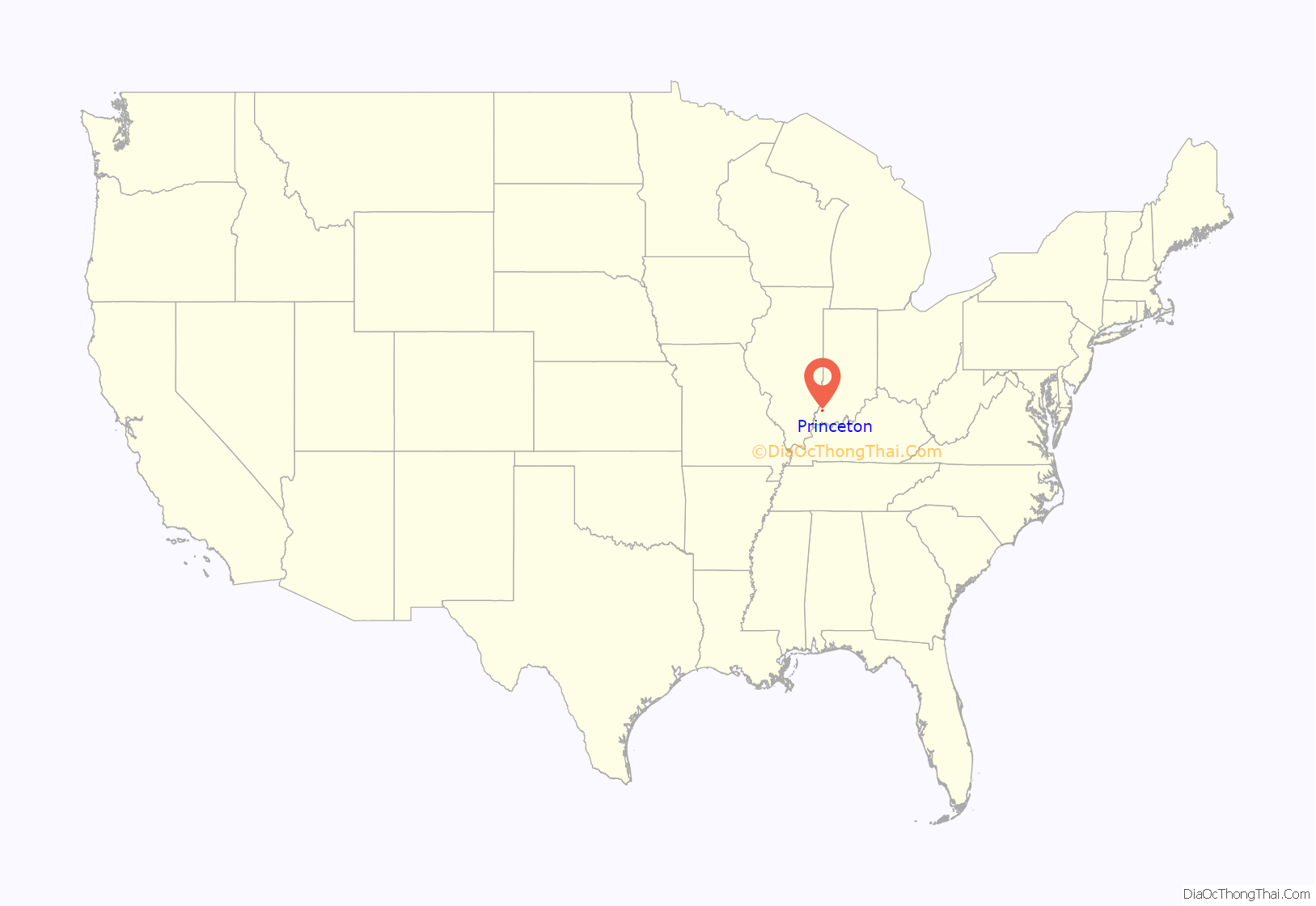
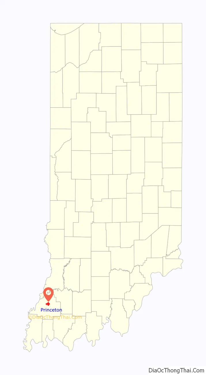
Princeton location map. Where is Princeton city?
History
In 1800, the Indiana Territory was created with Vincennes (Knox County) as its capital. The rich farmlands in the southwest of the territory with access to the Ohio River attracted many pioneers and settlers to the area, one of whom was an Irish immigrant named William Prince. Born in 1772, he immigrated to America at the age of 22. He later became a Gibson County Commissioner and the county seat of Princeton is named after him.
The year 1813 saw the move of the territorial capital east from Vincennes to Corydon and the creation of Gibson County. Gibson had previously been part of the vast Knox County which covered all the land of southwestern Indiana, bordered by the Wabash and Ohio Rivers. By early 1814, settlers to this area were asking for a “seat of justice,” or county seat. Captain William Prince was one of four commissioners who located the seat at the half-way stand on the Evansville and Vincennes stage line. By drawing of lots, commissioners decided to name the town after Captain Prince.
The iconic symbol of Princeton is the Gibson County Courthouse, a structure built in the Second Empire style. It has been featured as a collectible figurine by the Department 56 Original Snow Village. A post office was established in Princeton as early as 1816. The local newspaper, the Princeton Daily Clarion, was first published in 1846. Lyles Station, a small community just west of Princeton, was founded by freed Tennessee slave Joshua Lyles in 1849. It served as a haven for runaway slaves who braved the Ohio River on a northern trek towards freedom.
The Wabash and Erie Canal ran through the nearby towns of Francisco and Port Gibson, providing a means of reaching distant markets with goods from Princeton. The 1850s saw the advance of the railway system through Indiana, spelling doom for the canal system. The Evansville and Terre Haute Railroad line was run through town in 1852 and the Princeton Depot was constructed in 1875. The railroad became a boon to Princeton’s industry as the Southern Railway Shops were constructed on the edge of town in 1892. Other industry included the Heinz plant (because of the area’s famed tomatoes being good for ketchup making) and the Princeton Coal Mine.
In 1925, the Tri-State Tornado left its mark on the town. After hitting Griffin and narrowly missing Owensville to the southwest, the tornado devastated the southern side of Princeton, killing 44 people, injuring another 146 and leaving hundreds homeless. Princeton was the historic storm’s final victim, as the tornado dissipated about 10 miles to the northeast near Petersburg. The deadliest tornado in US history claimed 95 lives in Indiana with almost half of those in Princeton.
Toyota Motor Company opened a truck manufacturing plant between Princeton and Fort Branch in 1998 to build a new full-size pickup and SUV. Toyota significantly increased production at the plant in 2000. As of 2016, the plant builds two SUVs and a van.
On April 18, 2008, Princeton was shaken by the 2008 Illinois earthquake, epicentered approximately 18.5 miles (30 km) away near West Salem, Illinois.
The Gibson County Courthouse and Welborn-Ross House are listed on the National Register of Historic Places.
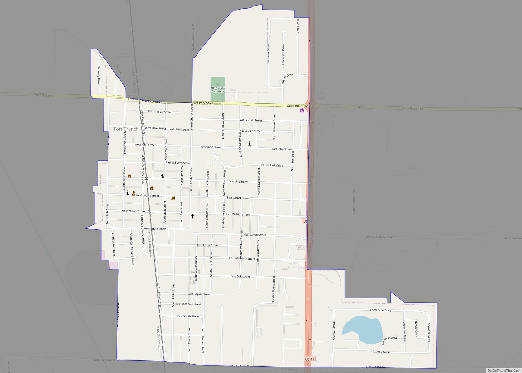
Princeton Road Map
Princeton city Satellite Map

Geography
According to the 2010 census, Princeton has a total area of 5.075 square miles (13.14 km), of which 5.07 square miles (13.13 km) (or 99.9%) is land and 0.005 square miles (0.01 km) (or 0.1%) is water.
Climate
The climate in this area is characterized by hot, humid summers and generally mild to cool winters. According to the Köppen climate classification system, Princeton has a humid subtropical climate, abbreviated “Cfa” on climate maps.
See also
Map of Indiana State and its subdivision:- Adams
- Allen
- Bartholomew
- Benton
- Blackford
- Boone
- Brown
- Carroll
- Cass
- Clark
- Clay
- Clinton
- Crawford
- Daviess
- De Kalb
- Dearborn
- Decatur
- Delaware
- Dubois
- Elkhart
- Fayette
- Floyd
- Fountain
- Franklin
- Fulton
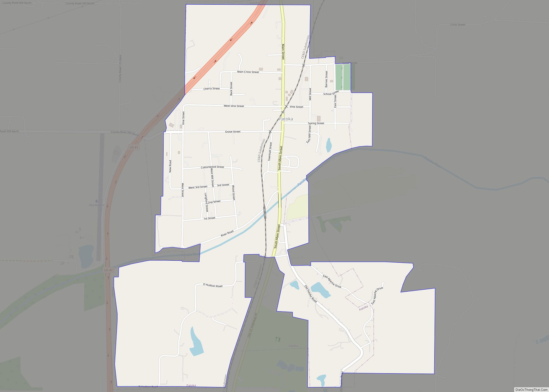
- Gibson
- Grant
- Greene
- Hamilton
- Hancock
- Harrison
- Hendricks
- Henry
- Howard
- Huntington
- Jackson
- Jasper
- Jay
- Jefferson
- Jennings
- Johnson
- Knox
- Kosciusko
- LaGrange
- Lake
- Lake Michigan
- LaPorte
- Lawrence
- Madison
- Marion
- Marshall
- Martin
- Miami
- Monroe
- Montgomery
- Morgan
- Newton
- Noble
- Ohio
- Orange
- Owen
- Parke
- Perry
- Pike
- Porter
- Posey
- Pulaski
- Putnam
- Randolph
- Ripley
- Rush
- Saint Joseph
- Scott
- Shelby
- Spencer
- Starke
- Steuben
- Sullivan
- Switzerland
- Tippecanoe
- Tipton
- Union
- Vanderburgh
- Vermillion
- Vigo
- Wabash
- Warren
- Warrick
- Washington
- Wayne
- Wells
- White
- Whitley
- Alabama
- Alaska
- Arizona
- Arkansas
- California
- Colorado
- Connecticut
- Delaware
- District of Columbia
- Florida
- Georgia
- Hawaii
- Idaho
- Illinois
- Indiana
- Iowa
- Kansas
- Kentucky
- Louisiana
- Maine
- Maryland
- Massachusetts
- Michigan
- Minnesota
- Mississippi
- Missouri
- Montana
- Nebraska
- Nevada
- New Hampshire
- New Jersey
- New Mexico
- New York
- North Carolina
- North Dakota
- Ohio
- Oklahoma
- Oregon
- Pennsylvania
- Rhode Island
- South Carolina
- South Dakota
- Tennessee
- Texas
- Utah
- Vermont
- Virginia
- Washington
- West Virginia
- Wisconsin
- Wyoming