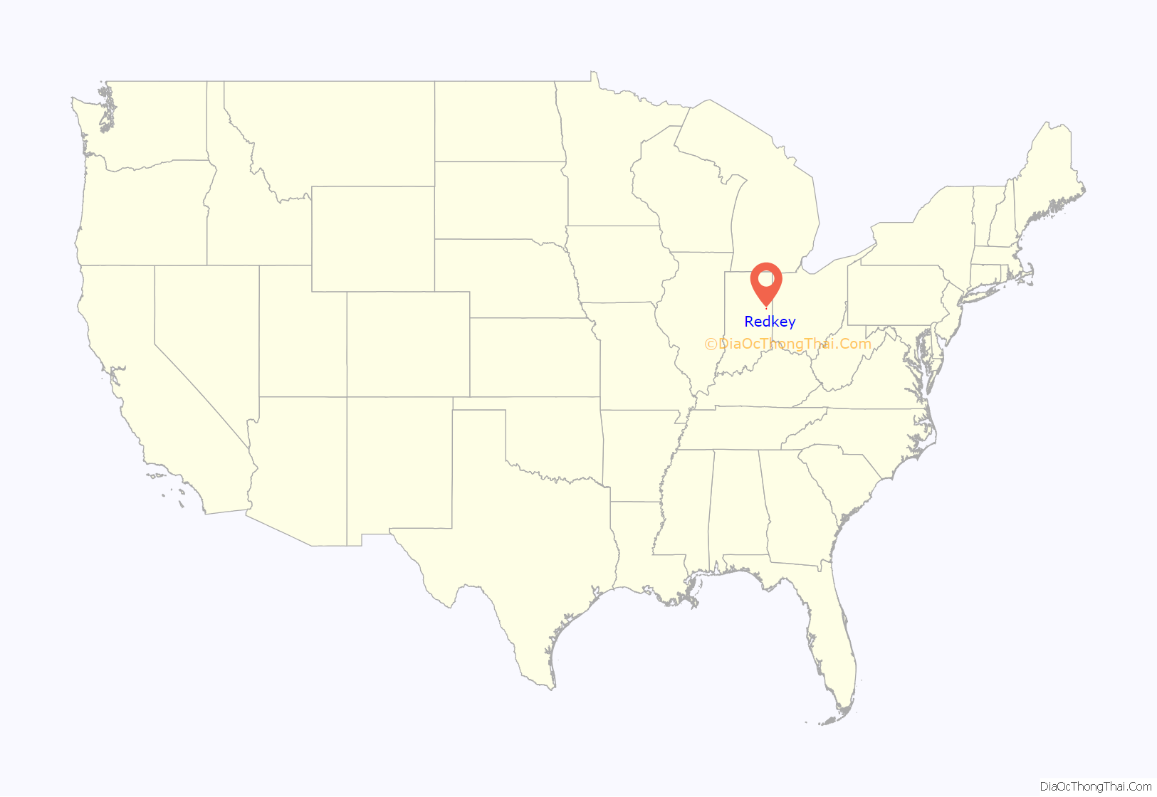
Redkey is a town in Richland Township, Jay County, Indiana, United States. The population was 1,353 at the 2010 census.
| Name: | Redkey town |
|---|---|
| LSAD Code: | 43 |
| LSAD Description: | town (suffix) |
| State: | Indiana |
| County: | Jay County |
| Elevation: | 961 ft (293 m) |
| Total Area: | 0.87 sq mi (2.26 km²) |
| Land Area: | 0.87 sq mi (2.26 km²) |
| Water Area: | 0.00 sq mi (0.00 km²) |
| Total Population: | 1,100 |
| Population Density: | 1,262.92/sq mi (487.40/km²) |
| ZIP code: | 47373 |
| Area code: | 765 |
| FIPS code: | 1863450 |
| GNISfeature ID: | 0441834 |
Online Interactive Map
Redkey location map. Where is Redkey town?
History
Redkey was named for James Redkey, who platted an addition to the town when the railroad was built through it in 1867. The area was originally known as the Wade Settlement, after the family of Josiah Wade, who settled there in 1836. His son William Harrison Wade platted a village there in 1854, which he called Mt. Vernon. James Redkey platted his addition in 1856, but when application was made for a government post office, the name Mt. Vernon was already taken, so the name of Redkey was chosen. Redkey was incorporated in 1883.
The Redkey Historic District was listed on the National Register of Historic Places in 1992.
Redkey Road Map
Redkey city Satellite Map
Geography
Redkey is located at 40°20′58″N 85°9′4″W / 40.34944°N 85.15111°W / 40.34944; -85.15111 (40.349507, -85.151074).
According to the 2010 census, Redkey has a total area of 0.95 square miles (2.46 km), of which 0.94 square miles (2.43 km) (or 98.95%) is land and 0.01 square miles (0.03 km) (or 1.05%) is water.
See also
Map of Indiana State and its subdivision:- Adams
- Allen
- Bartholomew
- Benton
- Blackford
- Boone
- Brown
- Carroll
- Cass
- Clark
- Clay
- Clinton
- Crawford
- Daviess
- De Kalb
- Dearborn
- Decatur
- Delaware
- Dubois
- Elkhart
- Fayette
- Floyd
- Fountain
- Franklin
- Fulton
- Gibson
- Grant
- Greene
- Hamilton
- Hancock
- Harrison
- Hendricks
- Henry
- Howard
- Huntington
- Jackson
- Jasper
- Jay
- Jefferson
- Jennings
- Johnson
- Knox
- Kosciusko
- LaGrange
- Lake
- Lake Michigan
- LaPorte
- Lawrence
- Madison
- Marion
- Marshall
- Martin
- Miami
- Monroe
- Montgomery
- Morgan
- Newton
- Noble
- Ohio
- Orange
- Owen
- Parke
- Perry
- Pike
- Porter
- Posey
- Pulaski
- Putnam
- Randolph
- Ripley
- Rush
- Saint Joseph
- Scott
- Shelby
- Spencer
- Starke
- Steuben
- Sullivan
- Switzerland
- Tippecanoe
- Tipton
- Union
- Vanderburgh
- Vermillion
- Vigo
- Wabash
- Warren
- Warrick
- Washington
- Wayne
- Wells
- White
- Whitley
- Alabama
- Alaska
- Arizona
- Arkansas
- California
- Colorado
- Connecticut
- Delaware
- District of Columbia
- Florida
- Georgia
- Hawaii
- Idaho
- Illinois
- Indiana
- Iowa
- Kansas
- Kentucky
- Louisiana
- Maine
- Maryland
- Massachusetts
- Michigan
- Minnesota
- Mississippi
- Missouri
- Montana
- Nebraska
- Nevada
- New Hampshire
- New Jersey
- New Mexico
- New York
- North Carolina
- North Dakota
- Ohio
- Oklahoma
- Oregon
- Pennsylvania
- Rhode Island
- South Carolina
- South Dakota
- Tennessee
- Texas
- Utah
- Vermont
- Virginia
- Washington
- West Virginia
- Wisconsin
- Wyoming


