Portage (/ˈpɔːrtɪdʒ/ POR-tij) is a city in Portage Township, Porter County, in the U.S. state of Indiana, on the border with Lake County. The population was 37,926 as of the 2020 census. It is the largest city in Porter County, and third largest in Northwest Indiana.
| Name: | Portage city |
|---|---|
| LSAD Code: | 25 |
| LSAD Description: | city (suffix) |
| State: | Indiana |
| County: | Porter County |
| Elevation: | 636 ft (194 m) |
| Total Area: | 27.65 sq mi (71.60 km²) |
| Land Area: | 25.55 sq mi (66.17 km²) |
| Water Area: | 2.10 sq mi (5.43 km²) |
| Total Population: | 37,926 |
| Population Density: | 1,484.38/sq mi (573.13/km²) |
| ZIP code: | 46368 |
| Area code: | 219 |
| FIPS code: | 1861092 |
| GNISfeature ID: | 449815 |
| Website: | http://www.ci.portage.in.us |
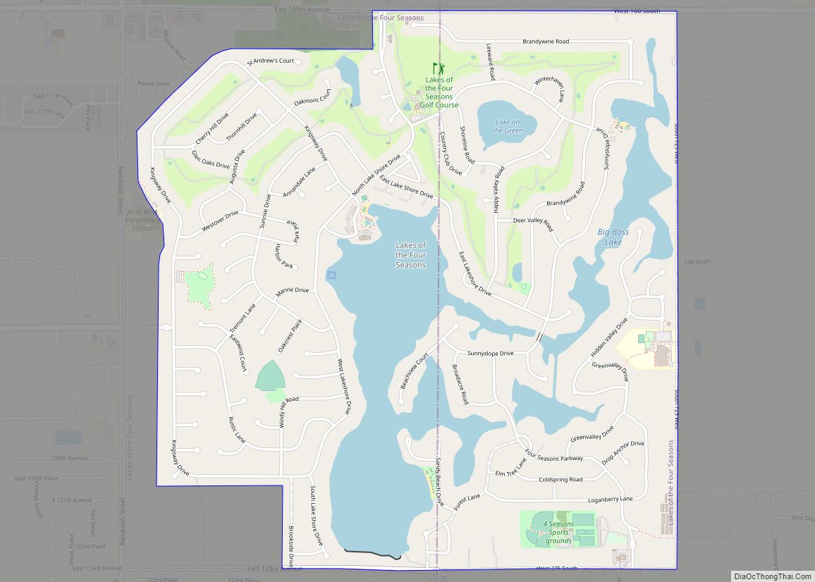
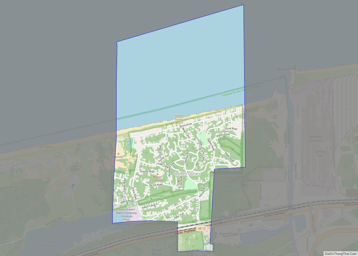
Online Interactive Map
Click on ![]() to view map in "full screen" mode.
to view map in "full screen" mode.
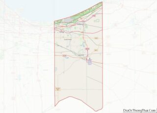
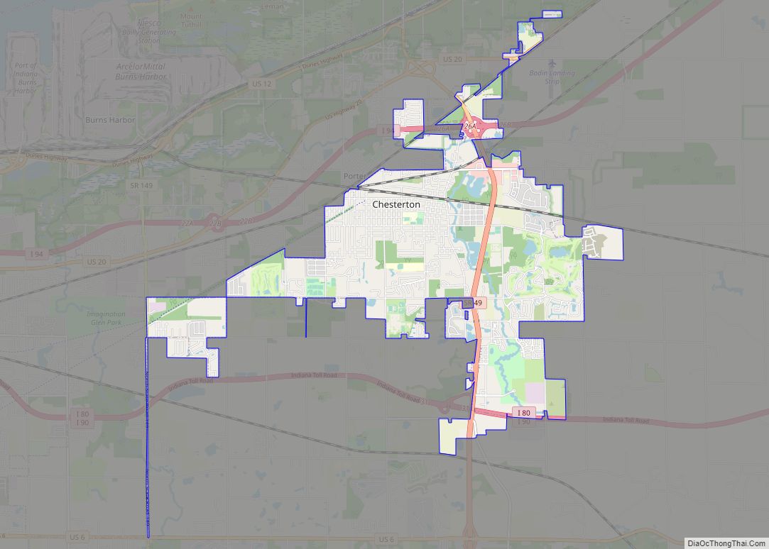
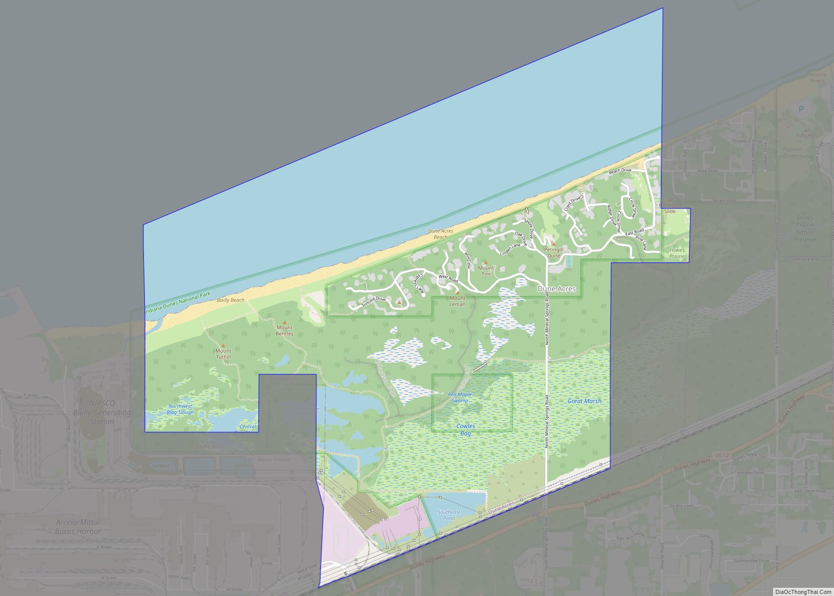
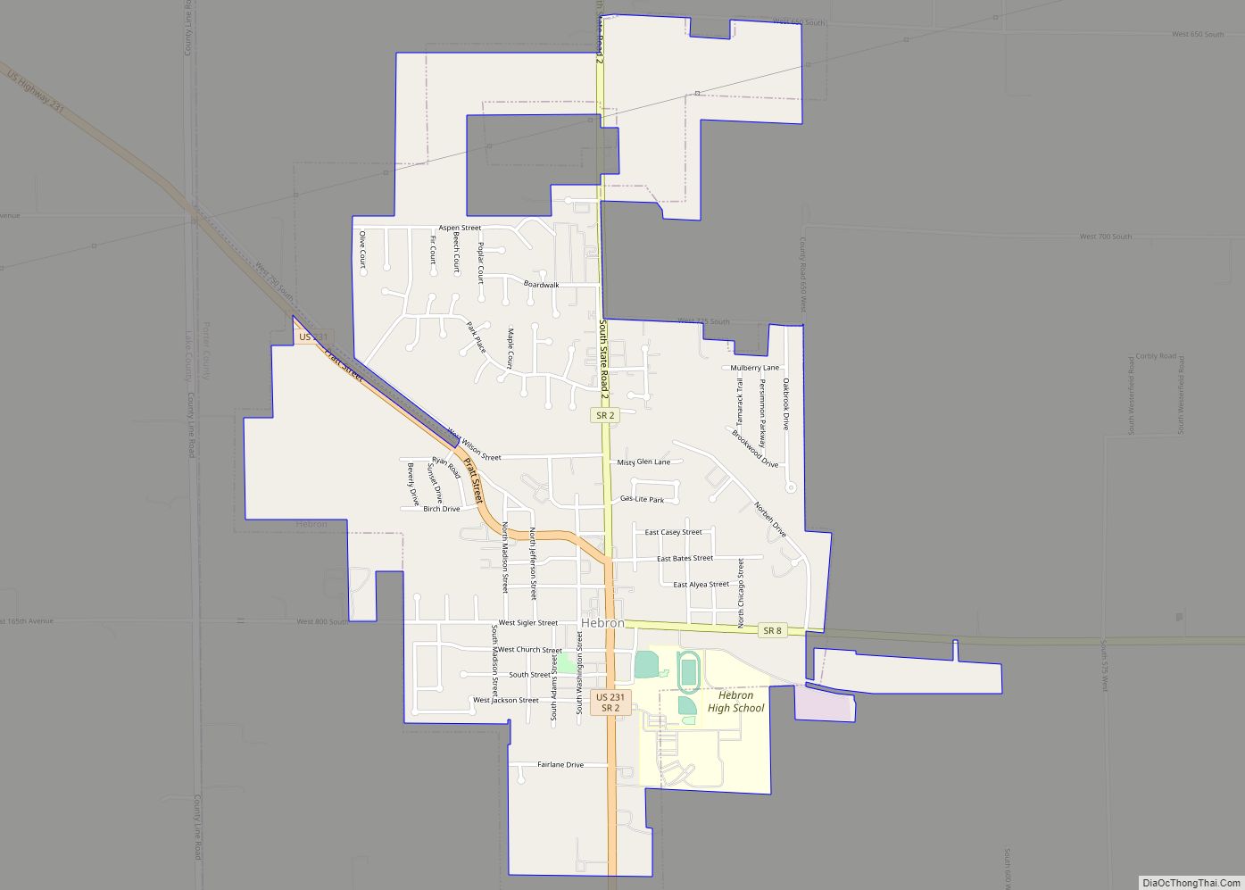
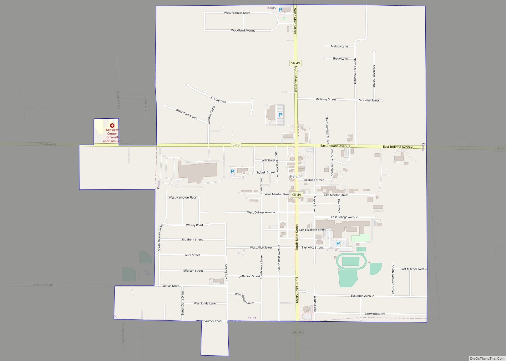
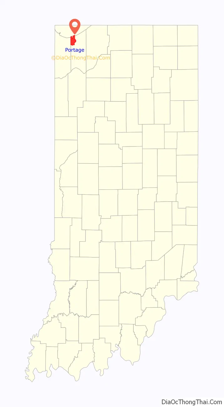
Portage location map. Where is Portage city?

History
Pre-European settlement
Prior to European settlement, Native Americans lived in Northwest Indiana. Mound Builders left a mound in the area now known as McCool, though the mound was destroyed in the early 1900s. Following the Mound Builders, the Wea tribe inhabited the area. The Wea were forced south by the Potawatomi.
Early explorers and settlers
Jacques Marquette, Louis Jolliet, Louis Hennepin or François Pétis de la Croix may have explored the area. Potawatomi chief, Leopold Pokagon, encouraged his tribe to sell tribal lands to European settlers. In 1812, Garyton became one of the first communities in Portage Township.
Samuel Putnam Robbins was among the first settlers, coming from Hocking County, Ohio, and he settled near modern-day Robbins Road between McCool Road and Indiana Highway 149. In 1834, Joseph Wolf squatted on land currently near the modern-day community of South Haven and operated dairy and beef farms there. Other early settlers included Berret Door, Reuben Hurlburt, Wilford Parrott, the Spurloch brothers, William McCool, Benjamin James (and his son, Allen James), and William Holmes. Jacob Blake arrived in Portage in 1833.
Early communities
Before Portage became a town, it consisted primarily of three separate communities in addition to much farmland. They were named McCool, Crisman and Garyton. In 1950, those communities only had 2,116 residents. La Porte County maintained jurisdiction over Porter County in 1835, and founded Portage Township that year.
Railroads
Portage Township was primarily a farming community until railroad development began in the 1850s and 1860s. The first railroad to build in the area was the Michigan Central, completed in 1852. The Michigan Central connected Detroit to Chicago. This enabled local farmers to easily ship livestock, dairy and crops to Chicago and any other stop along the way. It was a boon to the farmers of the area at the time and enabled them to buy more land for farming. The Michigan Central was later bought by the New York Central Railroad.
The next railroad to build through the Portage area was the Baltimore and Ohio in 1874. This railroad crossed the Michigan Central at Willow Creek, near the village of Crisman. The Willow Creek Confrontation occurred in 1874, when the Michigan Central refused to allow the Baltimore and Ohio to cross its track. The situation was eventually resolved peacefully, and a crossing was made. Sand was also an industry in Portage due to demand in the growing city of Chicago. The railroads enabled sand to be delivered to Chicago more efficiently.
Depression era and the world wars
Between the 1870s and the depression era, Portage did not grow very much. It has been estimated that between 1880 and 1950, the growth rate averaged only about 64 people per year. This is despite the growth of towns to the west such as Gary, Hammond and East Chicago due to the industrialization of steel mills. Portage was not unaffected by the Great Depression. Due to the steel mills being in economic trouble, the farmers of Portage did not have demand to produce their products. As a result of this, the farmers had food, but no money. Many even lost their farms.
Like many communities in the country, World War I and World War II affected the economy of Portage in a big way. Steel mills geared into high production and labor was in high demand, thus drawing many people to the area.
Post-World War II
After the war, the economy remained strong because of the high demand for automobiles and appliances, for both of which the steel was produced at the steel mills. The population of post-war Portage grew very quickly. In the early 1950s, people came from Kentucky, southern Indiana and Illinois. Most were seeking the steady salary available in the steel mills and related industries.
National Steel opened a plant along the shore of Lake Michigan in Portage in 1959. This brought in about 1,600 new jobs. The Port of Indiana was also built in 1961 to accommodate trade with the world via Lake Michigan. In 1963, Bethlehem Steel began construction of a plant which was located partly in Portage. This project brought about 6,000 jobs to the area.
In 1959, Portage was incorporated as a town. Ogden Dunes and South Haven were excluded because the residents of these areas did not wish to be included in the town. Due to the surge of population after the war, many farmers were selling land to be subdivided into lots for families to build homes. In 1967, Portage officially became a city. During the 1950s and 1960s, the city of Gary was going through a time of racial strife. White people of Gary were seeking a way out of the turmoil, which drew many people to Portage during this time.
Portage is still a heavily industrial city. While primarily dependent on the steel industry, the 1980s brought a decline in the steel industry. As a result, C.O.I.L. (the Community Organization on Industrial Location) was formed. This organization promotes diversified industry in the area. They have had part in developing the Coca-Cola bottling plant and further development of the Port of Indiana. Very few farms are still active in the Portage area. However, many original descendants of founding families are still in the area.
Portage has seen many new green technology industries locate to the community since the early 2000s including Fronius USA. In 2016, the City opened a new police station and Fire Station in the downtown corridor. The new police station is triple the size of the former station on Irving Street.
Portage Road Map

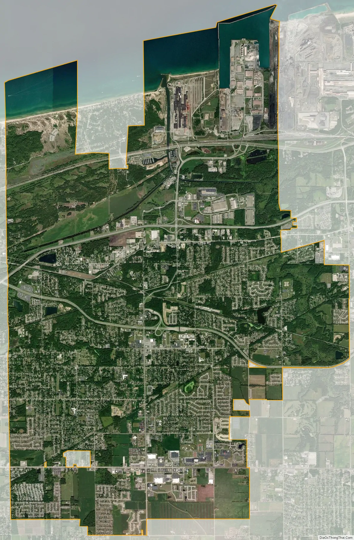
Portage city Satellite Map
Geography
Portage is located at 41°34′55″N 87°11′12″W / 41.581850°N 87.186553°W / 41.581850; -87.186553 (41.581850, −87.186553).
According to the 2010 census, Portage has a total area of 27.614 square miles (71.52 km), of which 25.63 square miles (66.38 km) (or 92.82%) is land and 1.984 square miles (5.14 km) (or 7.18%) is water.
See also
Map of Indiana State and its subdivision:- Adams
- Allen
- Bartholomew
- Benton
- Blackford
- Boone
- Brown
- Carroll
- Cass
- Clark
- Clay
- Clinton
- Crawford
- Daviess
- De Kalb
- Dearborn
- Decatur
- Delaware
- Dubois
- Elkhart
- Fayette
- Floyd
- Fountain
- Franklin
- Fulton
- Gibson
- Grant
- Greene
- Hamilton
- Hancock
- Harrison
- Hendricks
- Henry
- Howard
- Huntington
- Jackson
- Jasper
- Jay
- Jefferson
- Jennings
- Johnson
- Knox
- Kosciusko
- LaGrange
- Lake
- Lake Michigan
- LaPorte
- Lawrence
- Madison
- Marion
- Marshall
- Martin
- Miami
- Monroe
- Montgomery
- Morgan
- Newton
- Noble
- Ohio
- Orange
- Owen
- Parke
- Perry
- Pike
- Porter
- Posey
- Pulaski
- Putnam
- Randolph
- Ripley
- Rush
- Saint Joseph
- Scott
- Shelby
- Spencer
- Starke
- Steuben
- Sullivan
- Switzerland
- Tippecanoe
- Tipton
- Union
- Vanderburgh
- Vermillion
- Vigo
- Wabash
- Warren
- Warrick
- Washington
- Wayne
- Wells
- White
- Whitley
- Alabama
- Alaska
- Arizona
- Arkansas
- California
- Colorado
- Connecticut
- Delaware
- District of Columbia
- Florida
- Georgia
- Hawaii
- Idaho
- Illinois
- Indiana
- Iowa
- Kansas
- Kentucky
- Louisiana
- Maine
- Maryland
- Massachusetts
- Michigan
- Minnesota
- Mississippi
- Missouri
- Montana
- Nebraska
- Nevada
- New Hampshire
- New Jersey
- New Mexico
- New York
- North Carolina
- North Dakota
- Ohio
- Oklahoma
- Oregon
- Pennsylvania
- Rhode Island
- South Carolina
- South Dakota
- Tennessee
- Texas
- Utah
- Vermont
- Virginia
- Washington
- West Virginia
- Wisconsin
- Wyoming