Poseyville is a town in Robb Township, Posey County, in the U.S. state of Indiana. The population was 1,045 at the 2010 census.
| Name: | Poseyville town |
|---|---|
| LSAD Code: | 43 |
| LSAD Description: | town (suffix) |
| State: | Indiana |
| County: | Posey County |
| Elevation: | 440 ft (130 m) |
| Total Area: | 0.65 sq mi (1.67 km²) |
| Land Area: | 0.65 sq mi (1.67 km²) |
| Water Area: | 0.00 sq mi (0.00 km²) 0% |
| Total Population: | 966 |
| Population Density: | 1,497.67/sq mi (577.90/km²) |
| ZIP code: | 47633 |
| Area code: | 812 |
| FIPS code: | 1861416 |
| GNISfeature ID: | 2396864 |
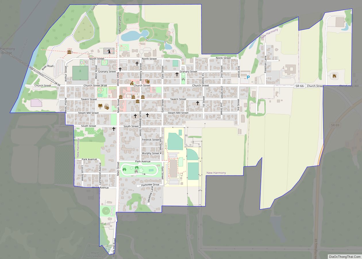
Online Interactive Map
Click on ![]() to view map in "full screen" mode.
to view map in "full screen" mode.
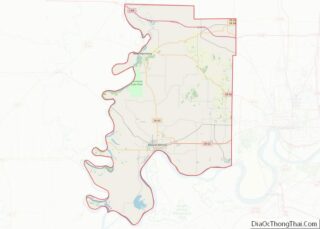
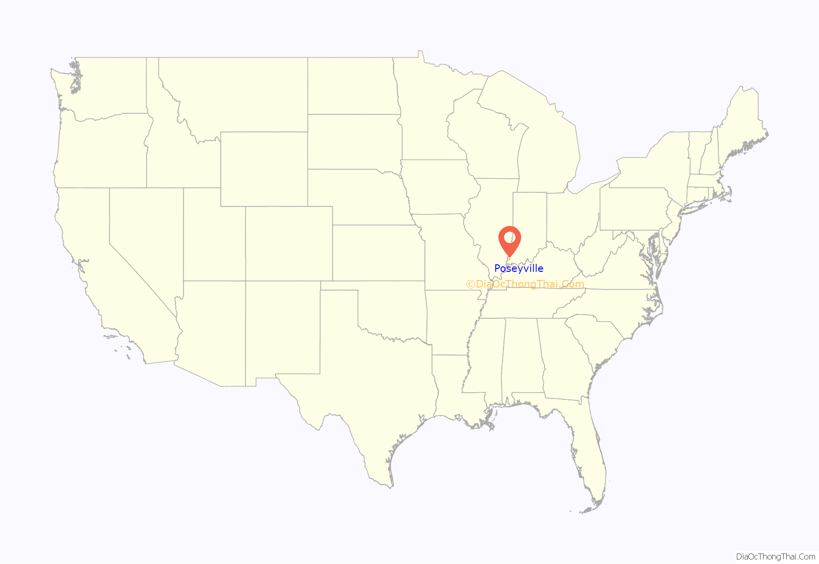
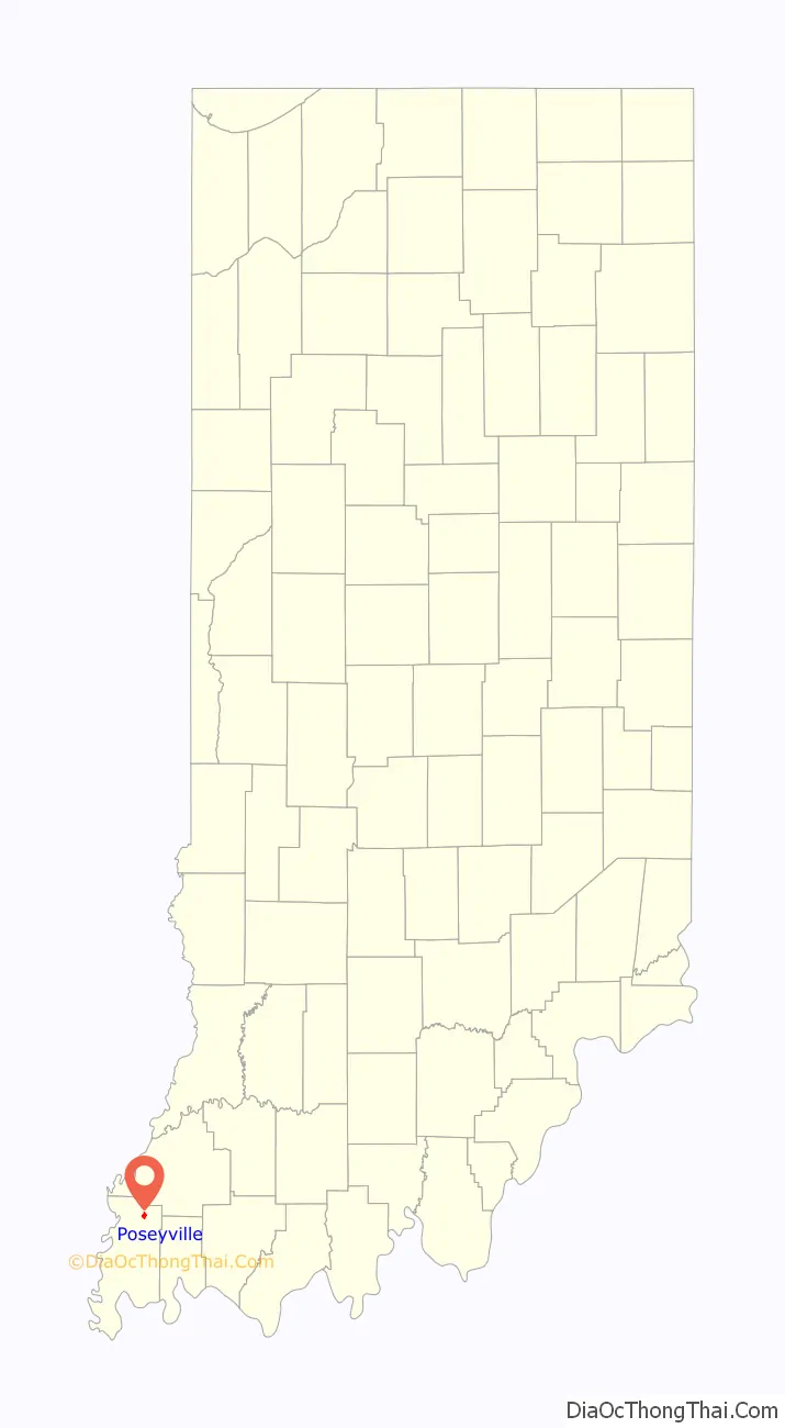
Poseyville location map. Where is Poseyville town?
History
The town of Poseyville was originally called Palestine when the town was first surveyed and laid out by James Smith on February 28, 1840. The town was set up along the New Harmony-Princeton coach line. The new town was recorded at the Posey County Recorder’s Office on November 20, 1840.
Palestine was renamed Poseyville when the town got its first post office on February 10, 1843 due to another town named Palestine, Indiana who already had a post office. The name was officially approved and changed by the Indiana State Legislature on December 26, 1844, but didn’t get recorded locally. The history books of Posey County state the town name was changed in 1852. This was the year that the town was first referred to as Poseyville in the county records. This was due to the addition of two new plats: Cale’s Enlargement and Fletchall’s Enlargement. This tripled the size of the town.
The Bozeman-Waters National Bank was listed on the National Register of Historic Places in 1987.
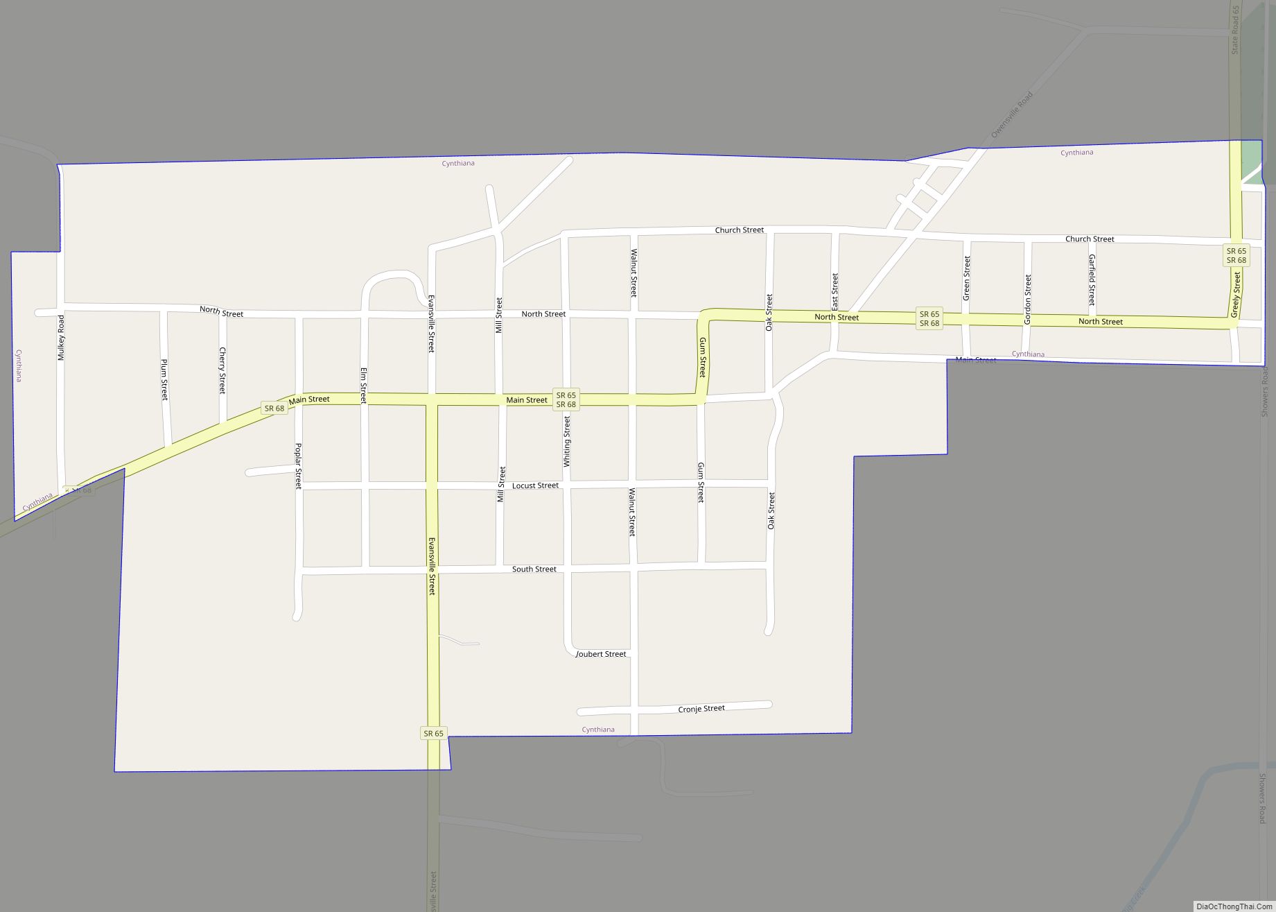
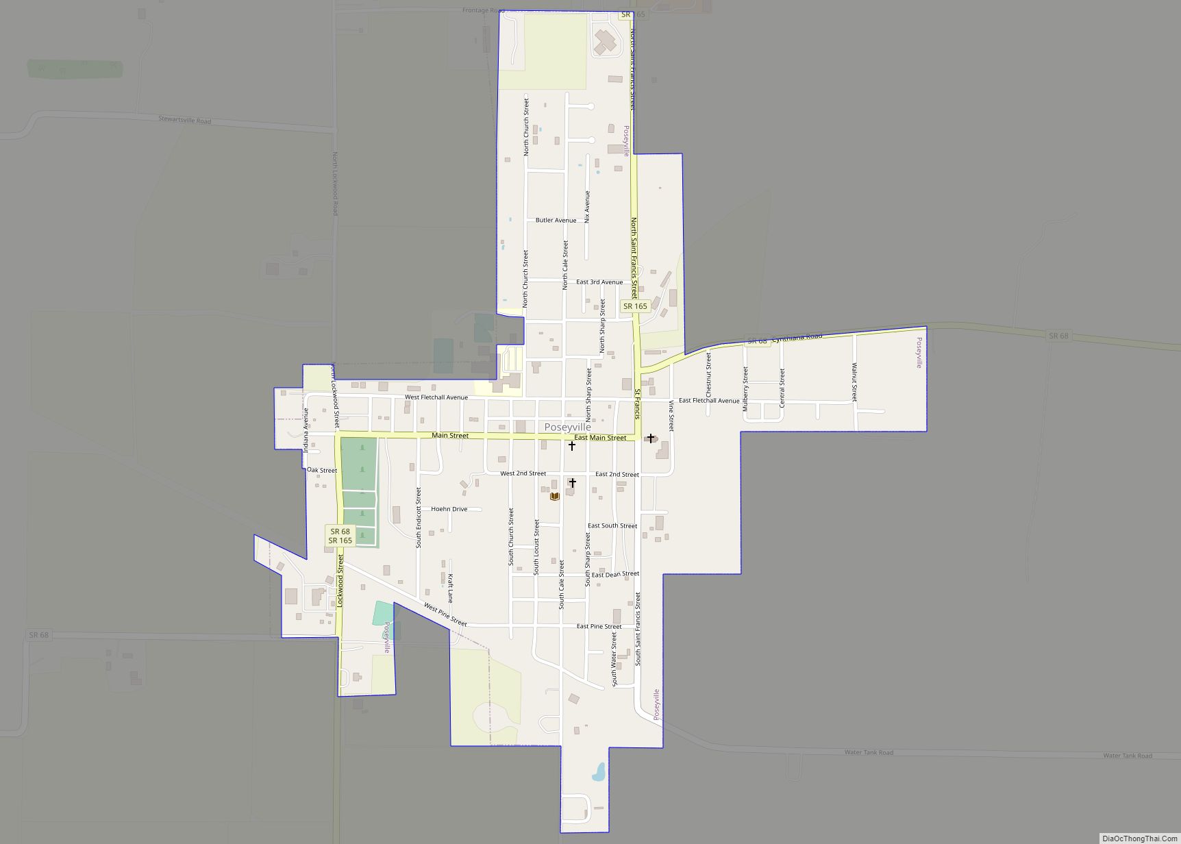
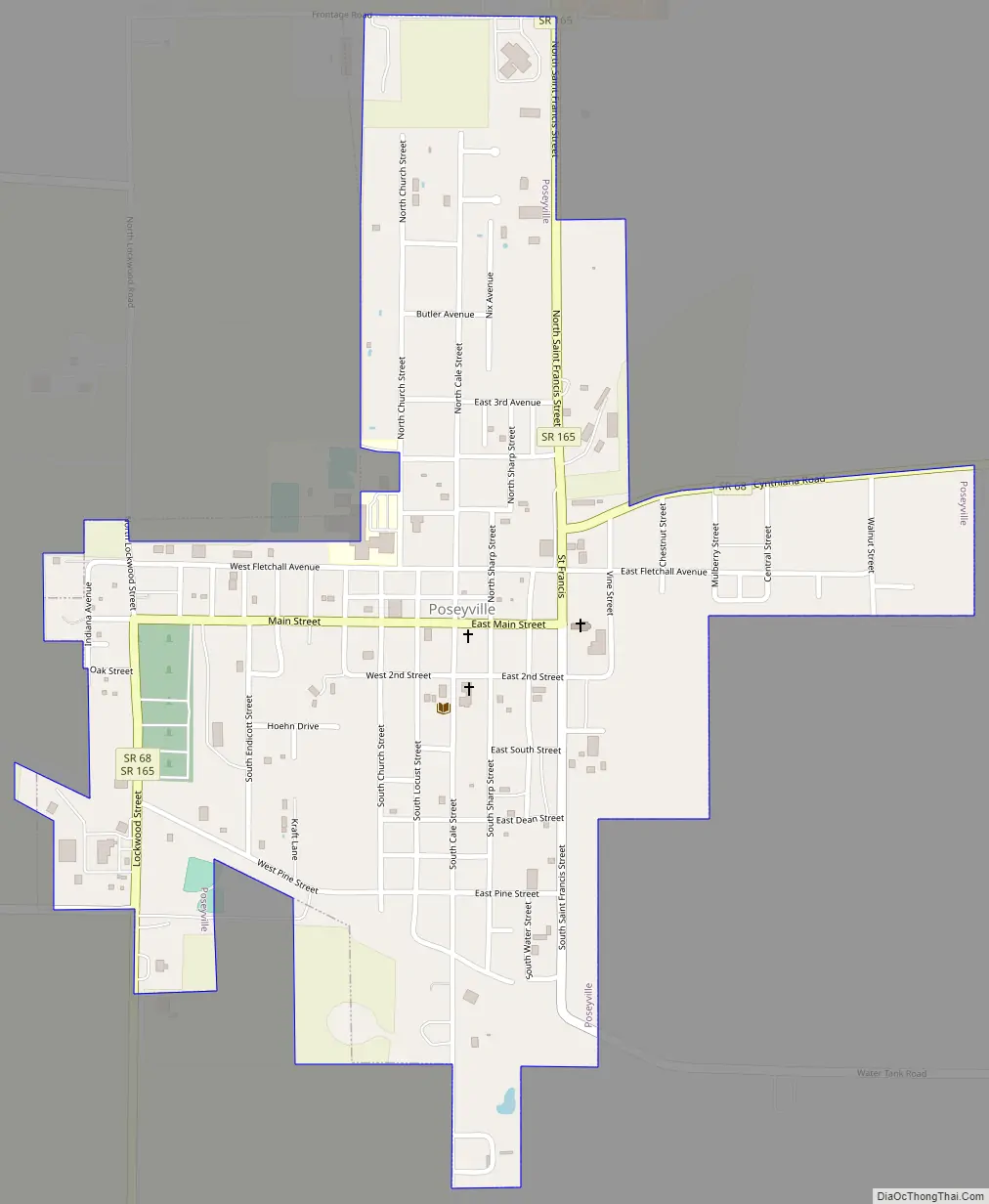
Poseyville Road Map
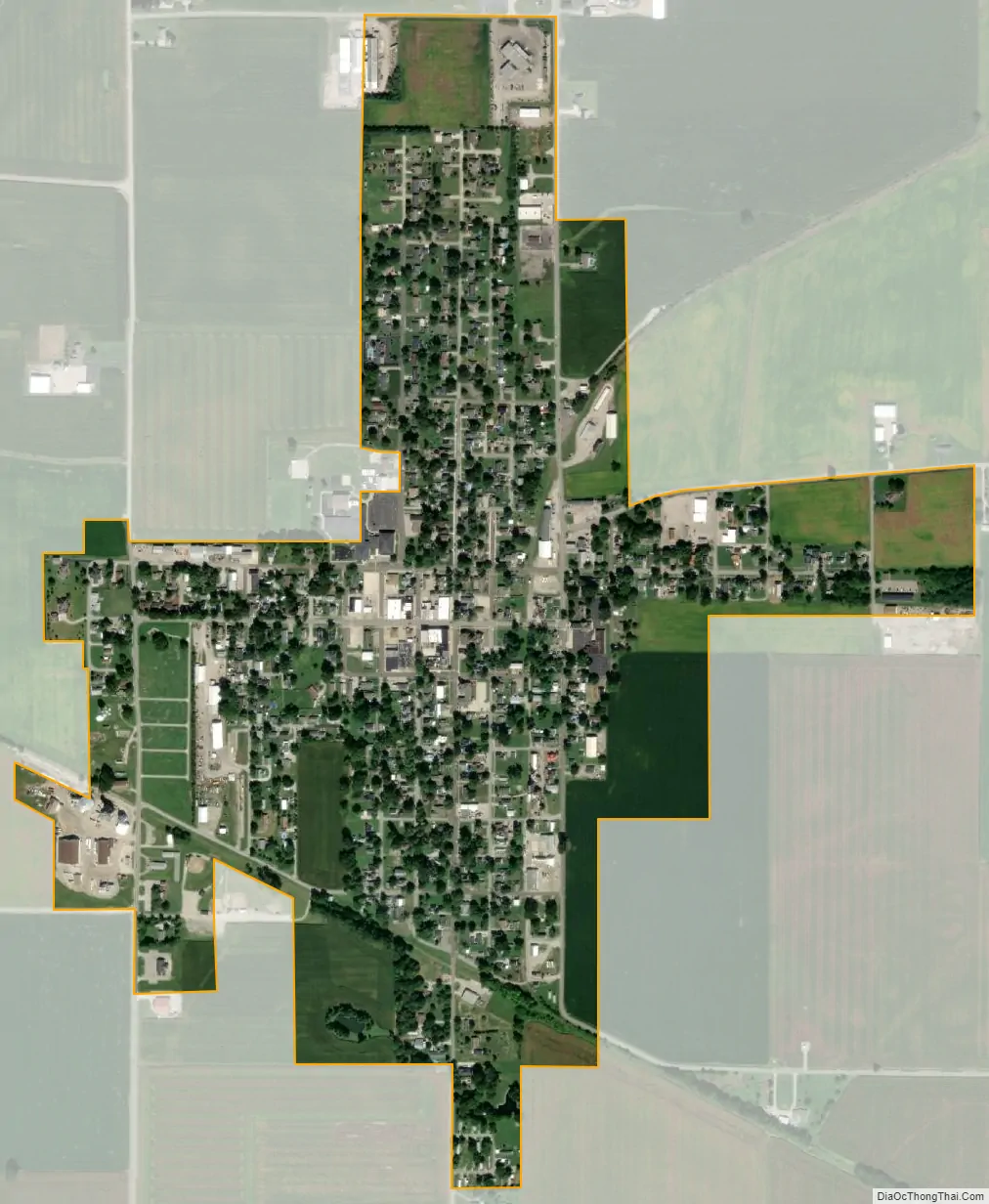
Poseyville city Satellite Map
Geography
According to the 2010 census, Poseyville has a total area of 0.65 square miles (1.68 km), all land.
Climate
The climate in this area is characterized by hot, humid summers and generally mild to cool winters. According to the Köppen Climate Classification system, Poseyville has a humid subtropical climate, abbreviated “Cfa” on climate maps.
See also
Map of Indiana State and its subdivision:- Adams
- Allen
- Bartholomew
- Benton
- Blackford
- Boone
- Brown
- Carroll
- Cass
- Clark
- Clay
- Clinton
- Crawford
- Daviess
- De Kalb
- Dearborn
- Decatur
- Delaware
- Dubois
- Elkhart
- Fayette
- Floyd
- Fountain
- Franklin
- Fulton
- Gibson
- Grant
- Greene
- Hamilton
- Hancock
- Harrison
- Hendricks
- Henry
- Howard
- Huntington
- Jackson
- Jasper
- Jay
- Jefferson
- Jennings
- Johnson
- Knox
- Kosciusko
- LaGrange
- Lake
- Lake Michigan
- LaPorte
- Lawrence
- Madison
- Marion
- Marshall
- Martin
- Miami
- Monroe
- Montgomery
- Morgan
- Newton
- Noble
- Ohio
- Orange
- Owen
- Parke
- Perry
- Pike
- Porter
- Posey
- Pulaski
- Putnam
- Randolph
- Ripley
- Rush
- Saint Joseph
- Scott
- Shelby
- Spencer
- Starke
- Steuben
- Sullivan
- Switzerland
- Tippecanoe
- Tipton
- Union
- Vanderburgh
- Vermillion
- Vigo
- Wabash
- Warren
- Warrick
- Washington
- Wayne
- Wells
- White
- Whitley
- Alabama
- Alaska
- Arizona
- Arkansas
- California
- Colorado
- Connecticut
- Delaware
- District of Columbia
- Florida
- Georgia
- Hawaii
- Idaho
- Illinois
- Indiana
- Iowa
- Kansas
- Kentucky
- Louisiana
- Maine
- Maryland
- Massachusetts
- Michigan
- Minnesota
- Mississippi
- Missouri
- Montana
- Nebraska
- Nevada
- New Hampshire
- New Jersey
- New Mexico
- New York
- North Carolina
- North Dakota
- Ohio
- Oklahoma
- Oregon
- Pennsylvania
- Rhode Island
- South Carolina
- South Dakota
- Tennessee
- Texas
- Utah
- Vermont
- Virginia
- Washington
- West Virginia
- Wisconsin
- Wyoming