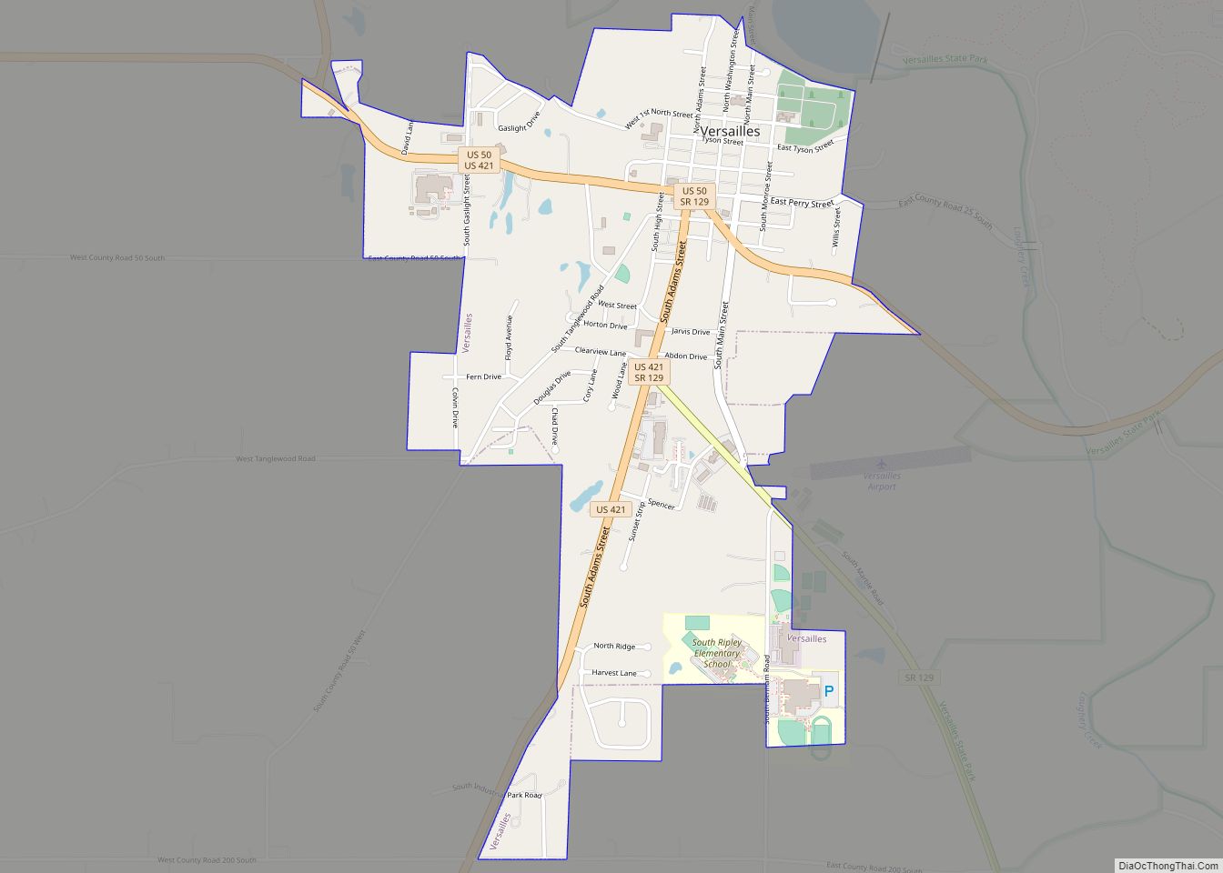
Versailles /vərˈseɪlz/ is a town in Johnson Township, Ripley County, in the U.S. state of Indiana. The population was 2,113 at the 2010 census. The town is the county seat of Ripley County. Versailles town overview: Name: Versailles town LSAD Code: 43 LSAD Description: town (suffix) State: Indiana County: Ripley County Elevation: 965 ft (294 m) Total ... Read more
Indiana Cities and Places
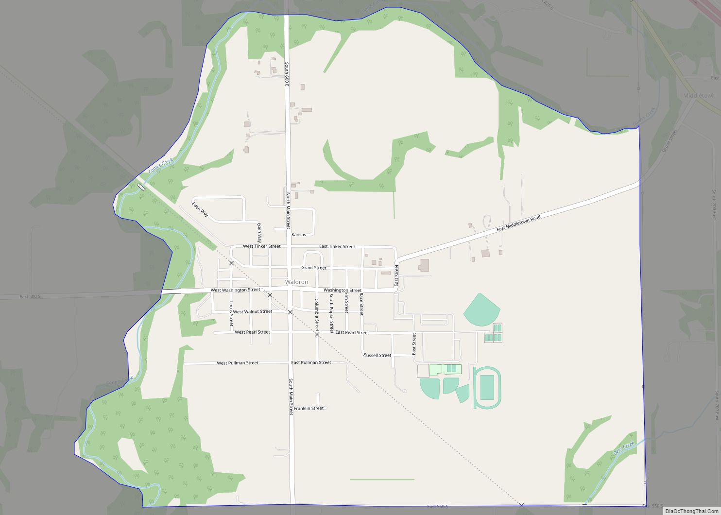
Waldron is an unincorporated community and census-designated place in Liberty Township, Shelby County, in the U.S. state of Indiana. Waldron CDP overview: Name: Waldron CDP LSAD Code: 57 LSAD Description: CDP (suffix) State: Indiana County: Shelby County Elevation: 823 ft (251 m) Total Area: 1.26 sq mi (3.26 km²) Land Area: 1.26 sq mi (3.26 km²) Water Area: 0.00 sq mi (0.00 km²) Total Population: 805 ... Read more
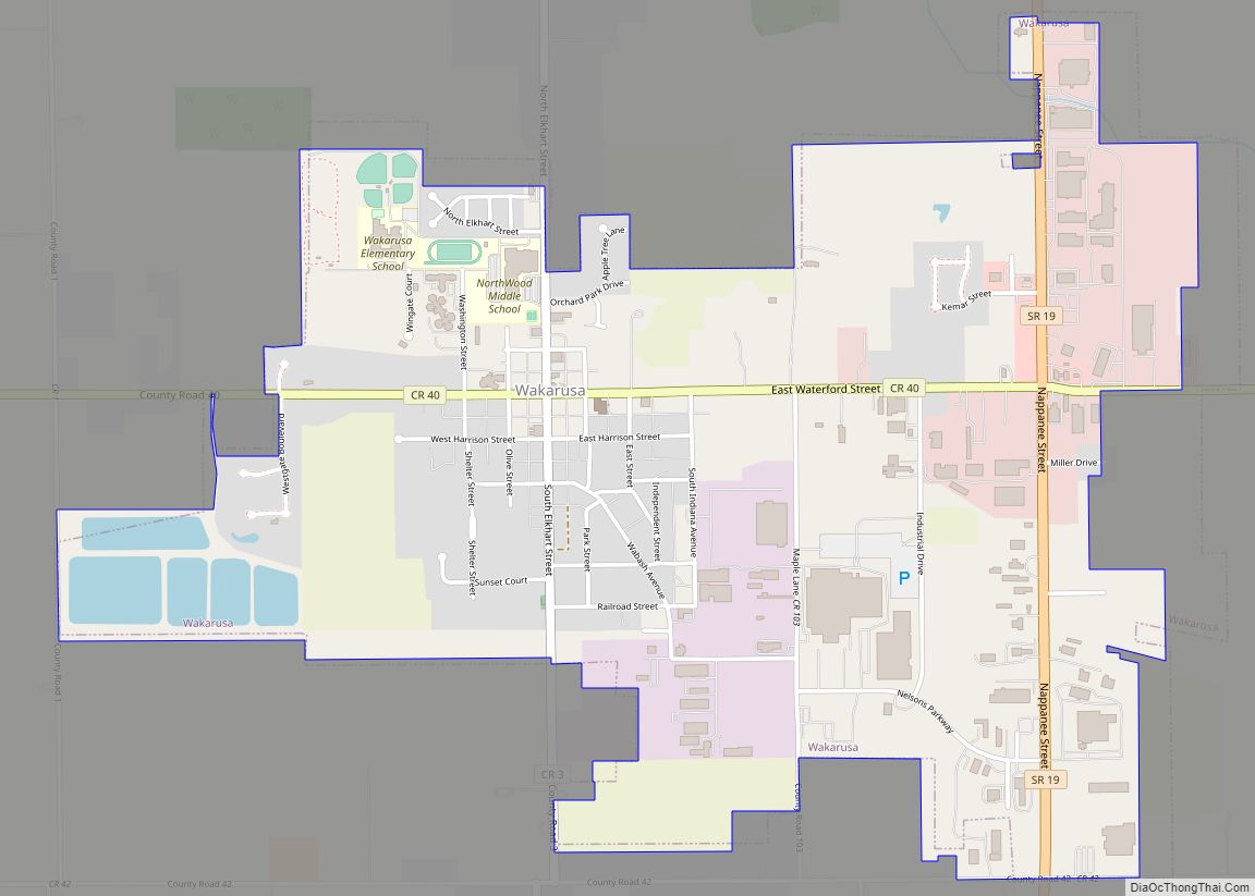
Wakarusa is a town in Harrison and Olive townships in Elkhart County, Indiana, United States. The population was 1,758 at the 2010 census. Wakarusa is a small farming and manufacturing community located on Indiana 19 just north of Indiana 119. The town is 12 miles (19 km) south of Elkhart, 25 miles (40 km) southeast of South ... Read more
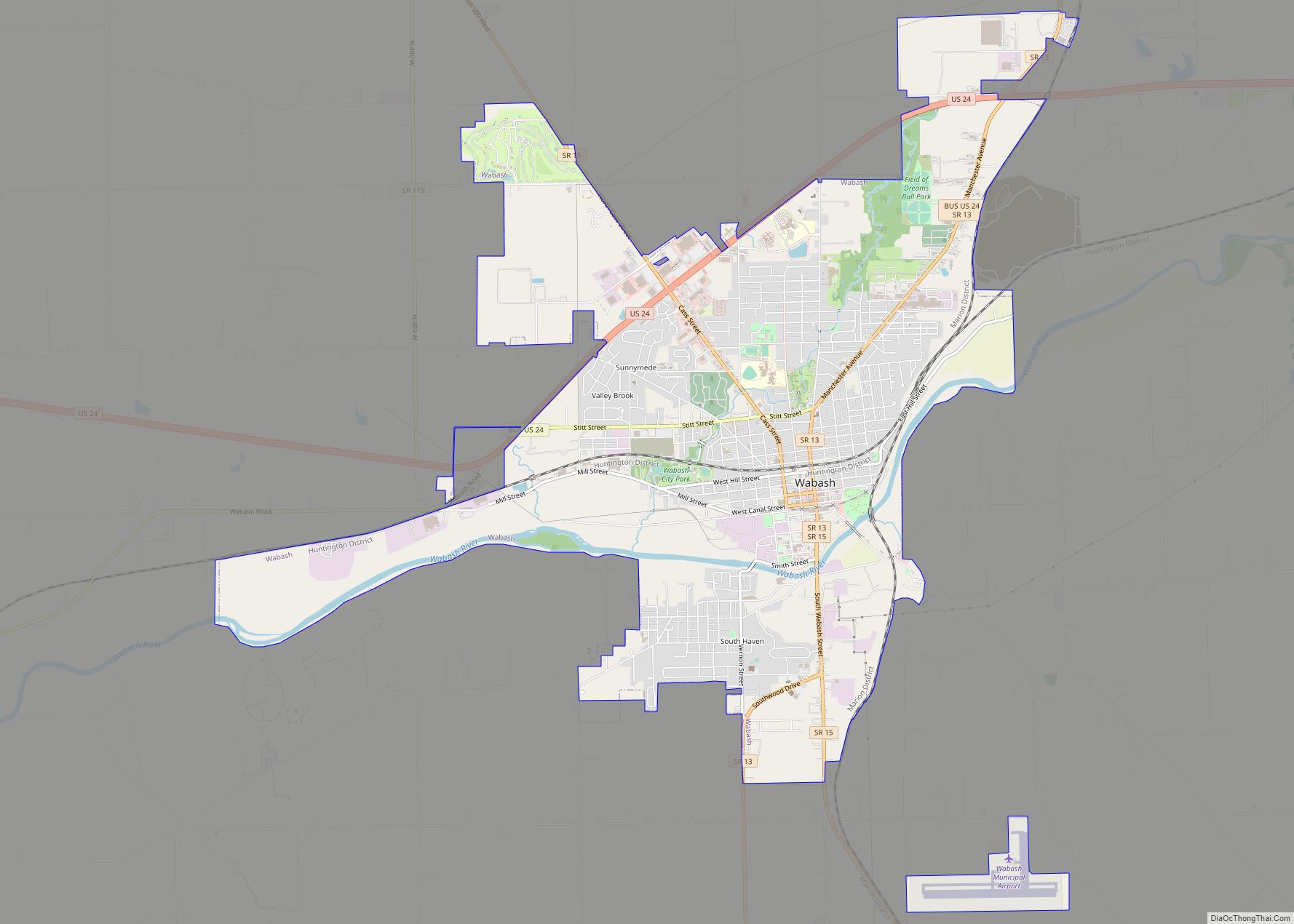
Wabash is a city in Noble Township, Wabash County, in the U.S. state of Indiana. The population was 10,666 at the 2010 census. The city is situated along the Wabash River in the county seat of Wabash County. Wabash is notable as claiming to be the first electrically lighted city in the world, which was ... Read more
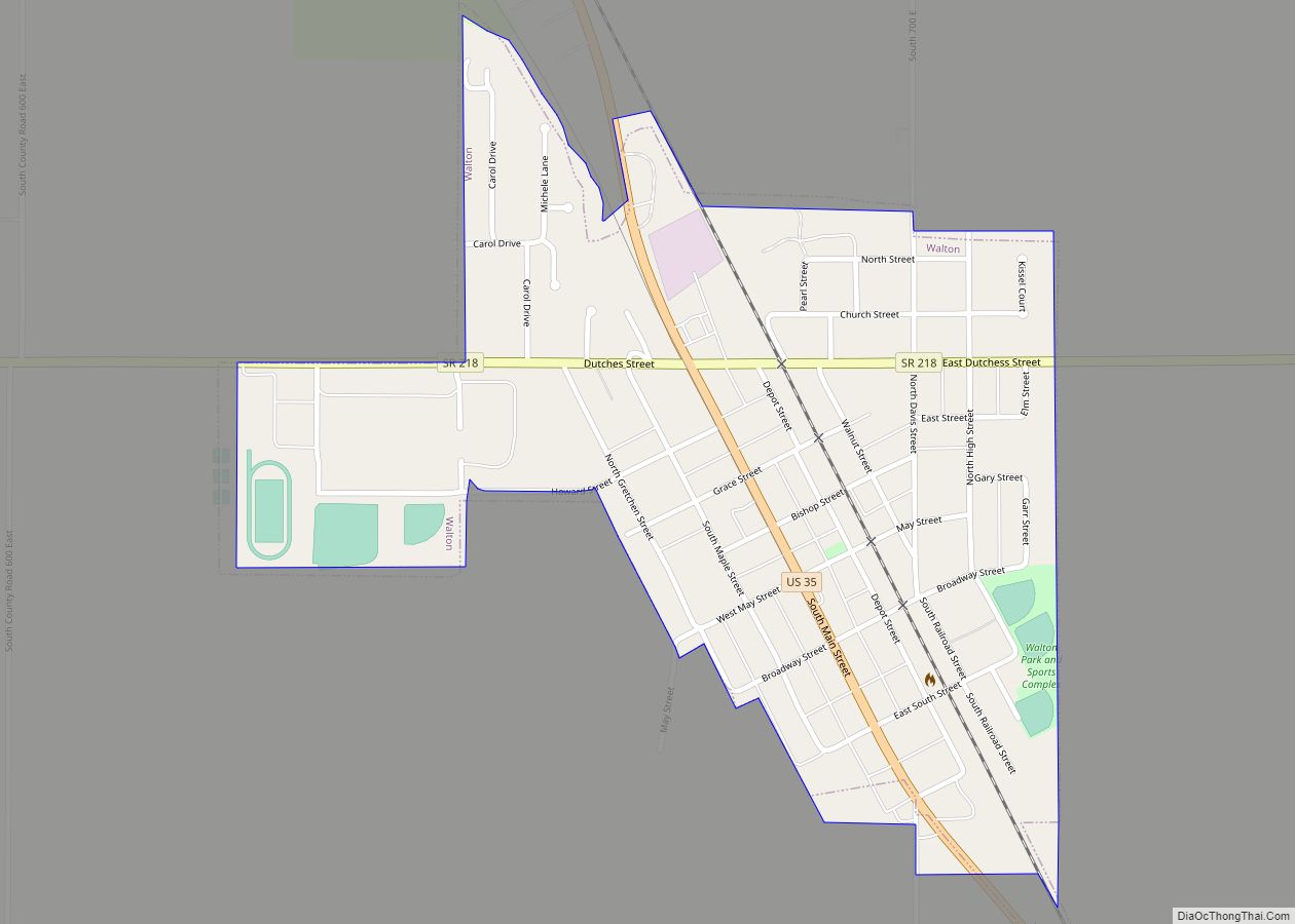
Walton is a town in Tipton Township, Cass County, Indiana, United States. The population was 1,049 at the 2010 census. Walton town overview: Name: Walton town LSAD Code: 43 LSAD Description: town (suffix) State: Indiana County: Cass County Elevation: 771 ft (235 m) Total Area: 0.43 sq mi (1.11 km²) Land Area: 0.43 sq mi (1.11 km²) Water Area: 0.00 sq mi (0.00 km²) Total Population: ... Read more
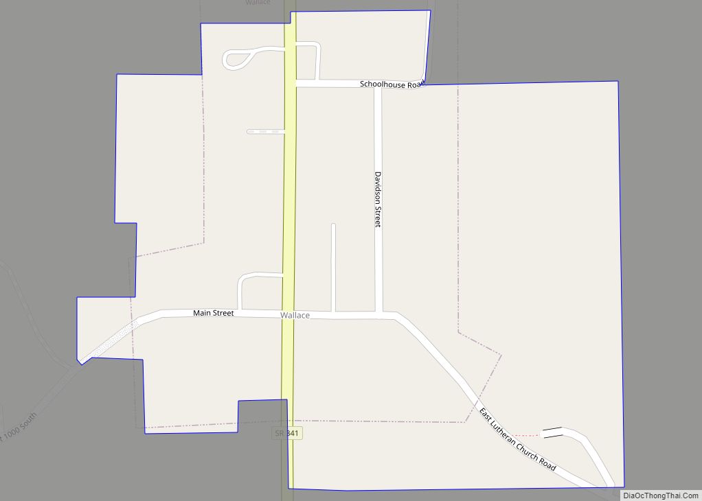
Wallace, originally named Jacksonville, is a town located in Jackson Township, Fountain County, Indiana, United States. At the 2010 census, the town had a total population of 105. Wallace town overview: Name: Wallace town LSAD Code: 43 LSAD Description: town (suffix) State: Indiana County: Fountain County Elevation: 699 ft (213 m) Total Area: 0.14 sq mi (0.37 km²) Land Area: ... Read more
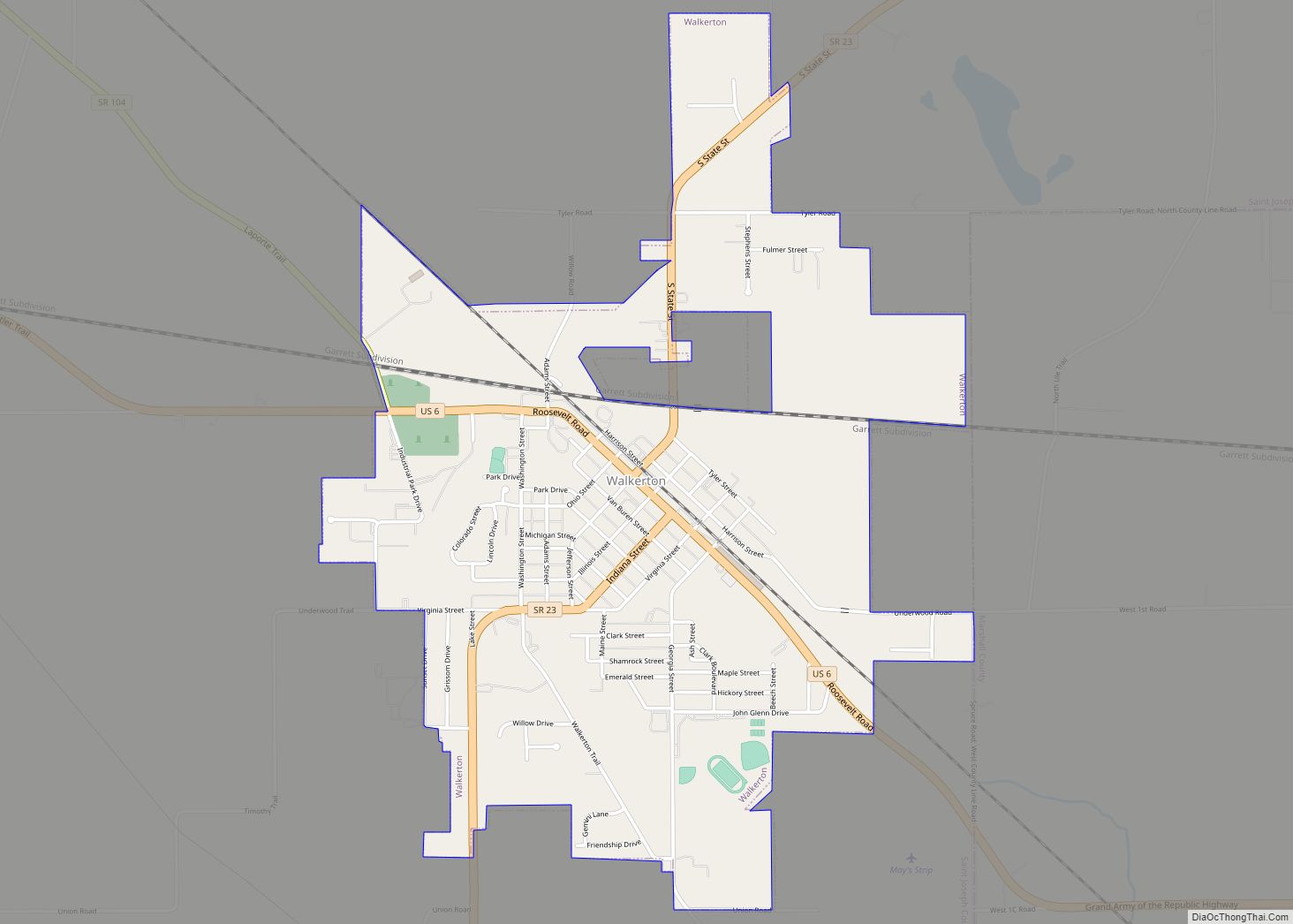
Walkerton is a town in Lincoln Township, St. Joseph County, in the U.S. state of Indiana. The population was 2,144 at the 2010 Census. It is part of the South Bend–Mishawaka, IN-MI, Metropolitan Statistical Area. Walkerton town overview: Name: Walkerton town LSAD Code: 43 LSAD Description: town (suffix) State: Indiana County: St. Joseph County Elevation: ... Read more
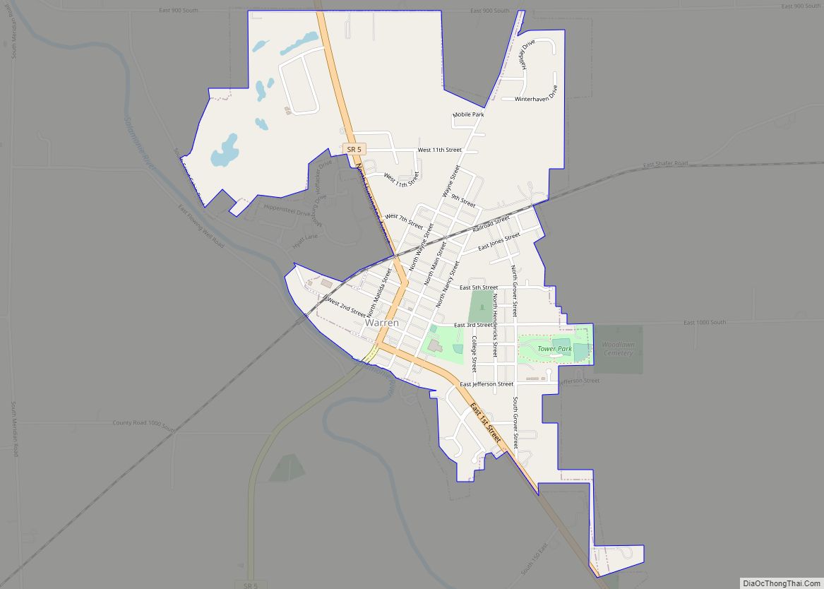
Warren is a town in Salamonie Township, Huntington County, Indiana. The population of Warren was 1,182 at the time of the 2020 census. Warren town overview: Name: Warren town LSAD Code: 43 LSAD Description: town (suffix) State: Indiana County: Huntington County Elevation: 823 ft (251 m) Total Area: 1.09 sq mi (2.82 km²) Land Area: 1.08 sq mi (2.80 km²) Water Area: 0.01 sq mi ... Read more
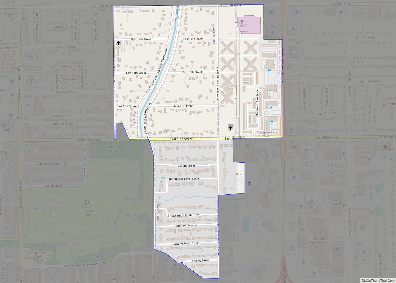
Warren Park is a town in Warren Township, Marion County, Indiana, United States. The population was 1,490 at the 2020 census. It has existed as an “included town” since 1970, when it was incorporated into Indianapolis as part of Unigov. It is part of Indianapolis, but retains a functioning town government under IC 36-3-1-11. Warren ... Read more
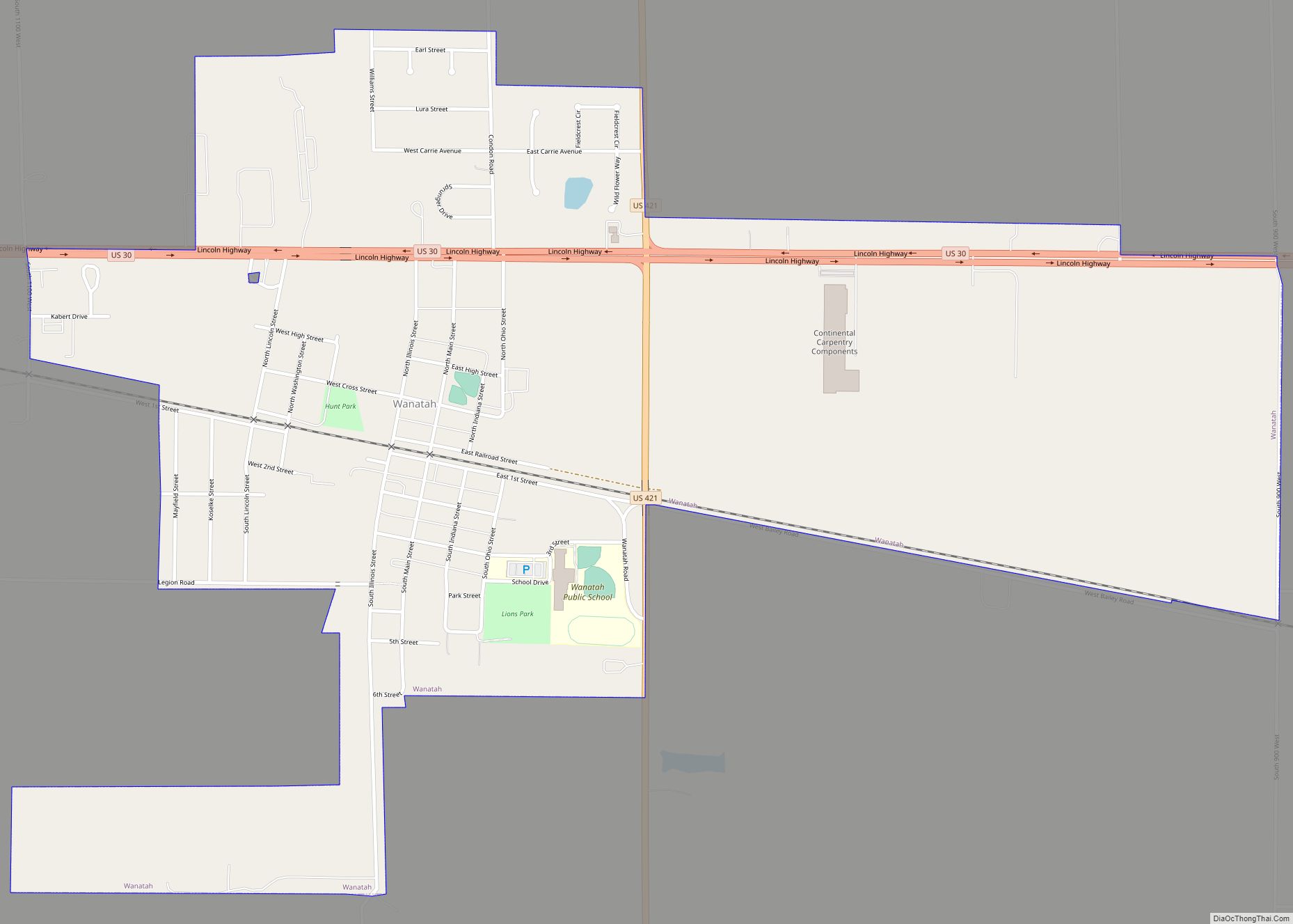
Wanatah is a town in LaPorte County, Indiana, United States. The population was 1,048 at the 2010 census. Wanatah town overview: Name: Wanatah town LSAD Code: 43 LSAD Description: town (suffix) State: Indiana County: LaPorte County Elevation: 732 ft (223 m) Total Area: 1.40 sq mi (3.62 km²) Land Area: 1.40 sq mi (3.62 km²) Water Area: 0.00 sq mi (0.00 km²) Total Population: 1,009 Population ... Read more
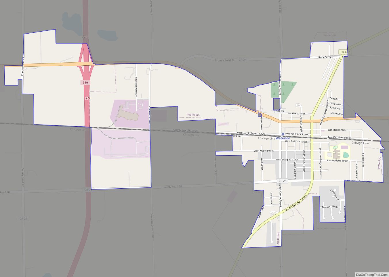
Waterloo is a town in Grant and Smithfield townships, DeKalb County, Indiana, United States. The population was 2,242 at the 2010 census. Waterloo town overview: Name: Waterloo town LSAD Code: 43 LSAD Description: town (suffix) State: Indiana County: DeKalb County Elevation: 906 ft (276 m) Total Area: 2.11 sq mi (5.47 km²) Land Area: 2.11 sq mi (5.47 km²) Water Area: 0.00 sq mi (0.00 km²) ... Read more
Washington is a city in Daviess County, Indiana. The population was 11,509 at the time of the 2010 census. The city is the county seat of Daviess County. It is also the principal city of the Washington, Indiana Micropolitan Statistical Area, which comprises all of Daviess County and had an estimated 2017 population of 31,648. ... Read more
