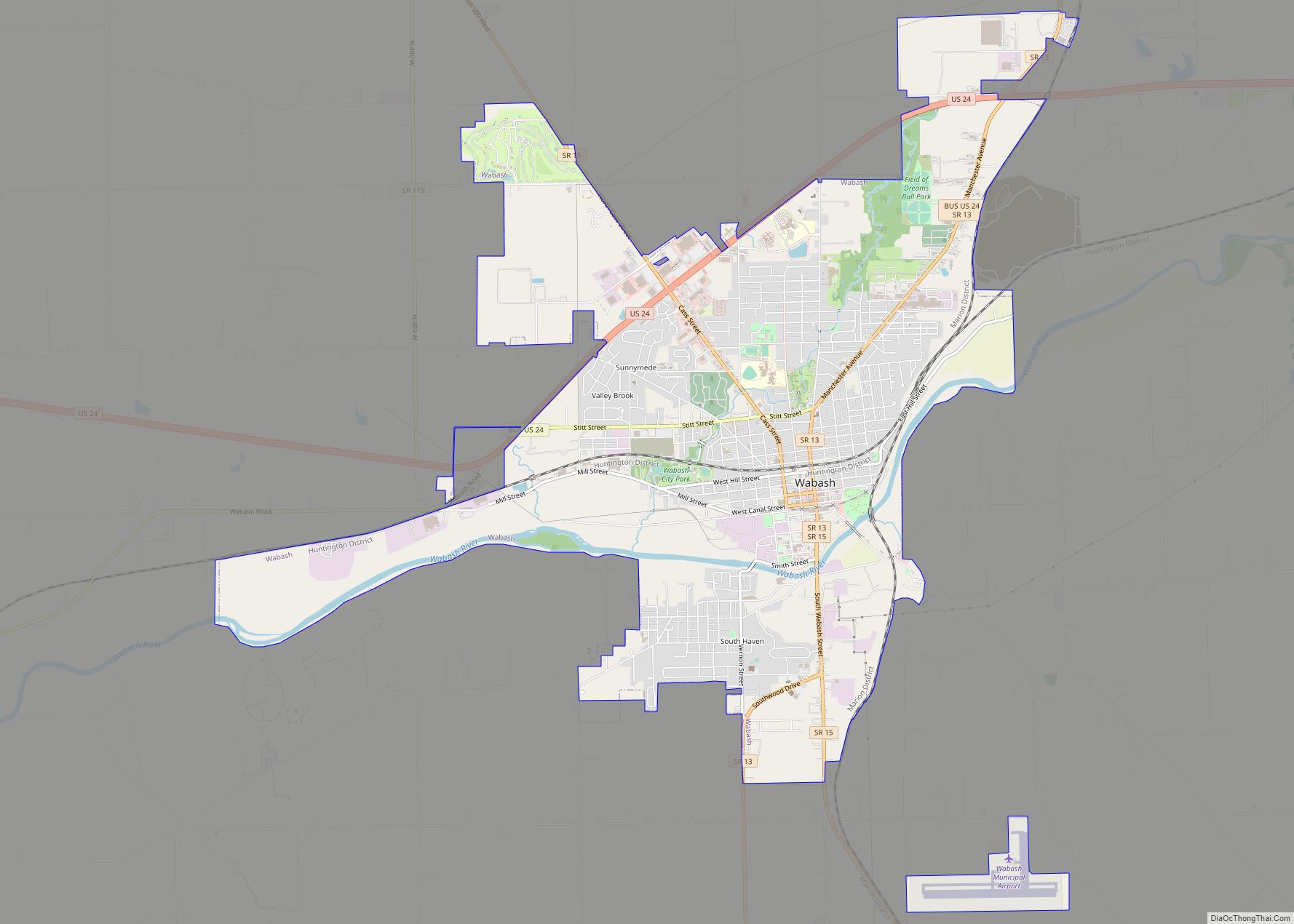
Wabash is a city in Noble Township, Wabash County, in the U.S. state of Indiana. The population was 10,666 at the 2010 census. The city is situated along the Wabash River in the county seat of Wabash County.
Wabash is notable as claiming to be the first electrically lighted city in the world, which was inaugurated on March 31, 1880. However, closer inspection of the reference shows only the court house grounds were lighted. It is also home to the historic Eagles Theatre, Paradise Spring Treaty Grounds (1826), the Wabash and Erie Canal, Presbyterian Church (1880), and Disciples of Christ Christian Church (1865).
| Name: | Wabash city |
|---|---|
| LSAD Code: | 25 |
| LSAD Description: | city (suffix) |
| State: | Indiana |
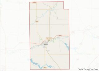
| County: | Wabash County |
| Elevation: | 712 ft (217 m) |
| Total Area: | 9.87 sq mi (25.57 km²) |
| Land Area: | 9.64 sq mi (24.96 km²) |
| Water Area: | 0.24 sq mi (0.62 km²) 2.63% |
| Total Population: | 10,440 |
| Population Density: | 1,083.44/sq mi (418.33/km²) |
| ZIP code: | 46992 |
| Area code: | 260 |
| FIPS code: | 1879370 |
| GNISfeature ID: | 445327 |
| Website: | www.cityofwabash.com |
Online Interactive Map
Click on ![]() to view map in "full screen" mode.
to view map in "full screen" mode.
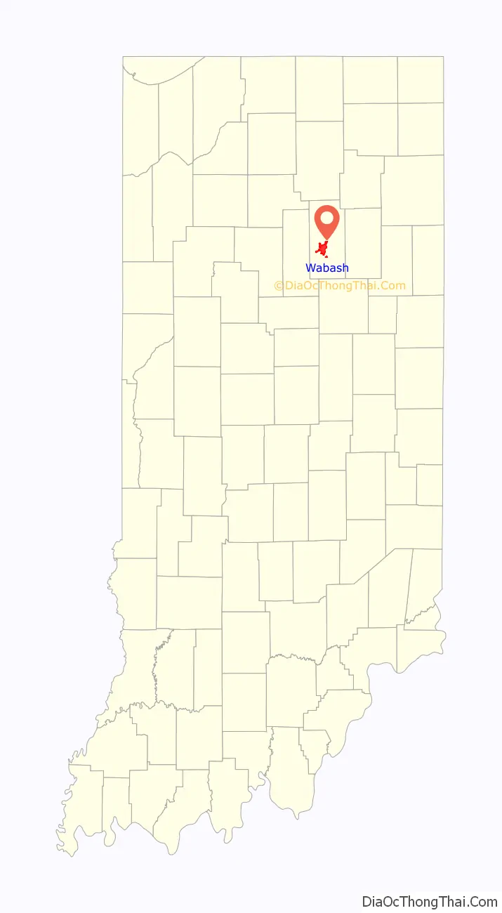
Wabash location map. Where is Wabash city?

History
The town of Wabash was platted in the spring of 1834 by Col. Hugh Hanna and Col. David Burr.
The name Wabash derives from a Miami-Illinois term for “water over white stones.” The Wabash post office has been in operation since 1839. The Miami name reflected the clarity of the river in Huntington County, Indiana where the river bottom is limestone.
Wabash used a new type of carbon arc light invented by Charles Brush in 1870. On March 31, 1880, four 3,000-candle power lamps were suspended from the top of the courthouse. Two telegraph wires ran from the lamps to the courthouse basement, where they were connected to a generator powered by a 12-horsepower steam engine to provide power
The James M. Amoss Building, Downtown Wabash Historic District, East Wabash Historic District, First Christian Church, Honeywell Memorial Community Center, Honeywell Studio, McNamee-Ford House, North Wabash Historic District, West Wabash Historic District, and Solomon Wilson Building are listed on the National Register of Historic Places.
Media
The Wabash Free Trader was published in Wabash from 1871 to 1876. The Wabash Weekly Courier was published from 1876 until 1887.
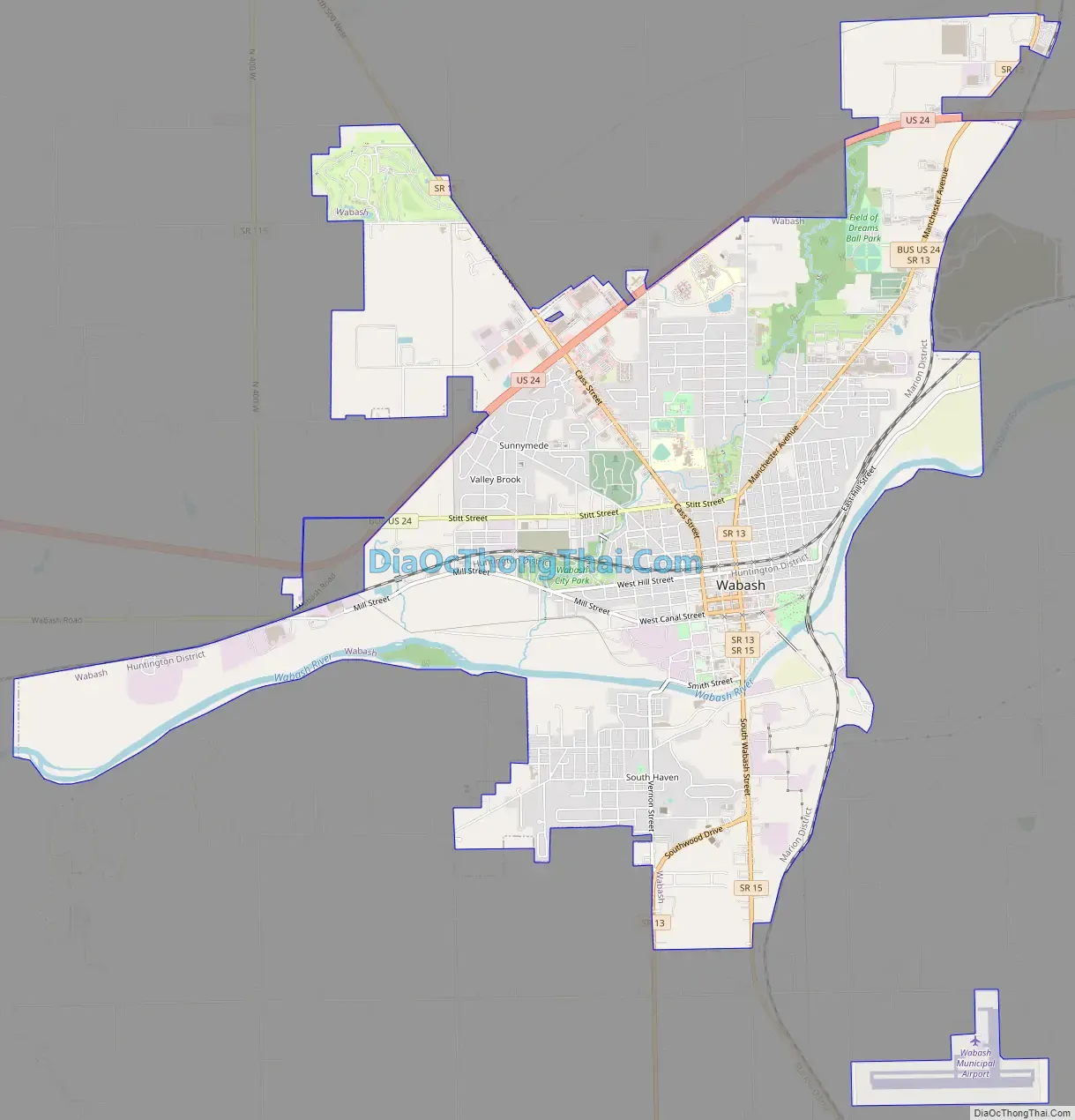
Wabash Road Map
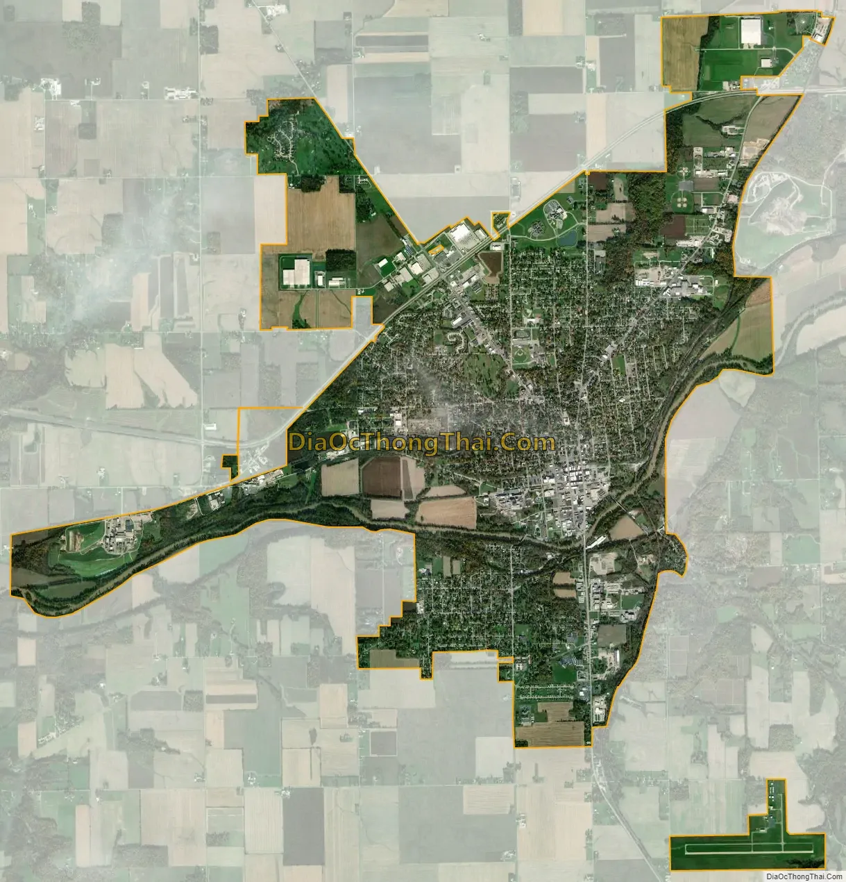
Wabash city Satellite Map
Geography
Wabash is located at 40°48′3″N 85°49′38″W / 40.80083°N 85.82722°W / 40.80083; -85.82722 (40.800799, -85.827163). The Wabash River runs through the town, on its way towards Peru, where it splits creating a series of islands, and where the sandbars are quite common on this stretch.
According to the 2010 census, Wabash has a total area of 9.128 square miles (23.64 km), of which 8.89 square miles (23.02 km) (or 97.39%) is land and 0.238 square miles (0.62 km) (or 2.61%) is water.
Climate
See also
Map of Indiana State and its subdivision:- Adams
- Allen
- Bartholomew
- Benton
- Blackford
- Boone
- Brown
- Carroll
- Cass
- Clark
- Clay
- Clinton
- Crawford
- Daviess
- De Kalb
- Dearborn
- Decatur
- Delaware
- Dubois
- Elkhart
- Fayette
- Floyd
- Fountain
- Franklin
- Fulton
- Gibson
- Grant
- Greene
- Hamilton
- Hancock
- Harrison
- Hendricks
- Henry
- Howard
- Huntington
- Jackson
- Jasper
- Jay
- Jefferson
- Jennings
- Johnson
- Knox
- Kosciusko
- LaGrange
- Lake
- Lake Michigan
- LaPorte
- Lawrence
- Madison
- Marion
- Marshall
- Martin
- Miami
- Monroe
- Montgomery
- Morgan
- Newton
- Noble
- Ohio
- Orange
- Owen
- Parke
- Perry
- Pike
- Porter
- Posey
- Pulaski
- Putnam
- Randolph
- Ripley
- Rush
- Saint Joseph
- Scott
- Shelby
- Spencer
- Starke
- Steuben
- Sullivan
- Switzerland
- Tippecanoe
- Tipton
- Union
- Vanderburgh
- Vermillion
- Vigo
- Wabash
- Warren
- Warrick
- Washington
- Wayne
- Wells
- White
- Whitley
- Alabama
- Alaska
- Arizona
- Arkansas
- California
- Colorado
- Connecticut
- Delaware
- District of Columbia
- Florida
- Georgia
- Hawaii
- Idaho
- Illinois
- Indiana
- Iowa
- Kansas
- Kentucky
- Louisiana
- Maine
- Maryland
- Massachusetts
- Michigan
- Minnesota
- Mississippi
- Missouri
- Montana
- Nebraska
- Nevada
- New Hampshire
- New Jersey
- New Mexico
- New York
- North Carolina
- North Dakota
- Ohio
- Oklahoma
- Oregon
- Pennsylvania
- Rhode Island
- South Carolina
- South Dakota
- Tennessee
- Texas
- Utah
- Vermont
- Virginia
- Washington
- West Virginia
- Wisconsin
- Wyoming