Wallace, originally named Jacksonville, is a town located in Jackson Township, Fountain County, Indiana, United States. At the 2010 census, the town had a total population of 105.
| Name: | Wallace town |
|---|---|
| LSAD Code: | 43 |
| LSAD Description: | town (suffix) |
| State: | Indiana |
| County: | Fountain County |
| Elevation: | 699 ft (213 m) |
| Total Area: | 0.14 sq mi (0.37 km²) |
| Land Area: | 0.14 sq mi (0.37 km²) |
| Water Area: | 0.00 sq mi (0.00 km²) |
| Total Population: | 79 |
| Population Density: | 552.45/sq mi (213.67/km²) |
| ZIP code: | 47988 |
| Area code: | 765 |
| FIPS code: | 1879730 |
| GNISfeature ID: | 0445387 |
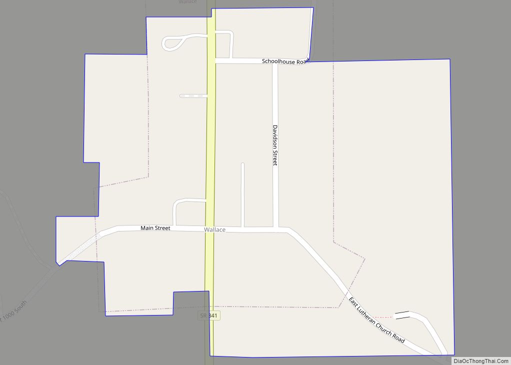
Online Interactive Map
Click on ![]() to view map in "full screen" mode.
to view map in "full screen" mode.
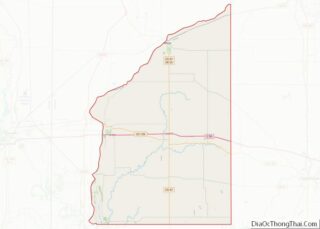
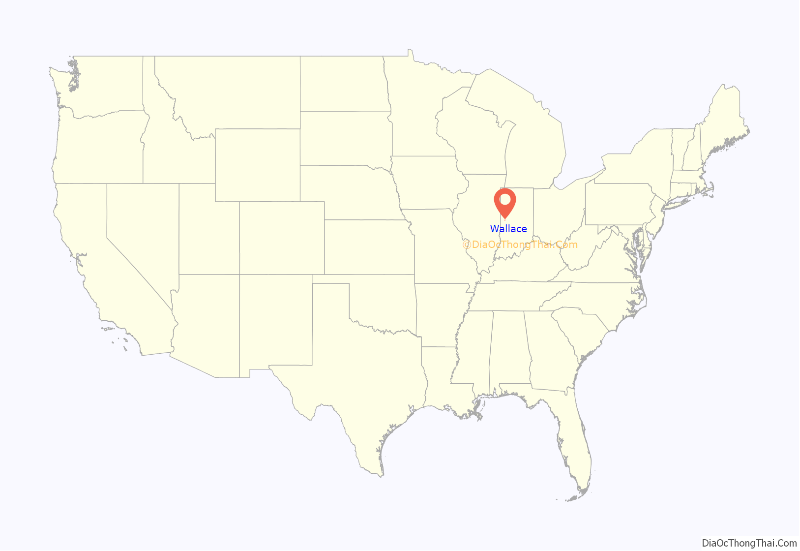
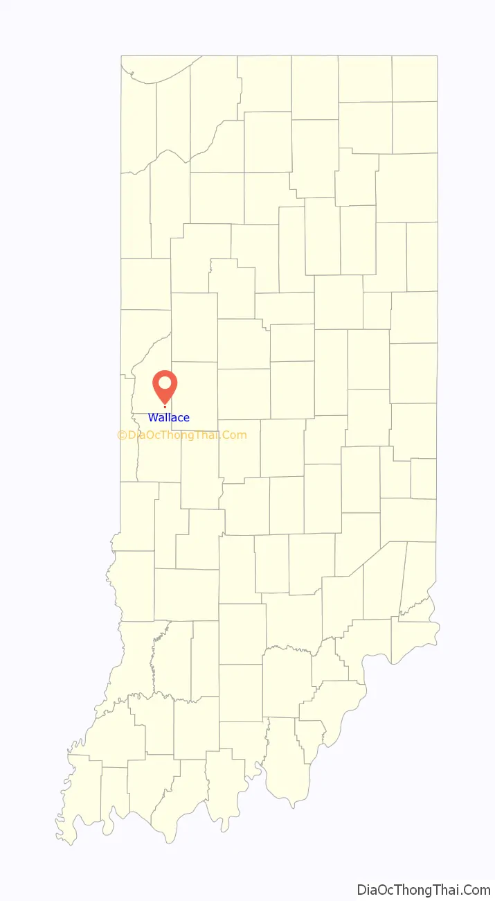
Wallace location map. Where is Wallace town?
History
Jacksonville, one of Fountain County’s early settlements, was established by John Bowman and his father Henry in the early 1830s on land situated just north of Mill Creek and was named for Andrew Jackson. The town’s name in informal speech was often shortened to “Jackville”. The first settler at the site was Richard Williams who erected a cabin as early as 1826, several years before the town was laid out, with the first house erected after Jacksonville’s platting belonging to William Guilliams. By the 1880s it contained about two dozen houses.
Early tradesmen in Jacksonville included William Snooks, the township’s first blacksmith, Samuel Glass who operated a house of entertainment, shoemaker Alvah Doke, cabinet-maker George McCline, physicians Dr. Reeves, Dr. A. M. C. Hawes and Dr. Joseph Roberts and various general storekeepers. An 1881 history offers the following description of the town’s businesses:
The town gained a post office during the administration of Indiana Governor David Wallace, and was named by John Bowman and Judge Mitchell C. Black in the governor’s honor. The town itself later assumed this name. Bowman was the office’s first postmaster and Black the first mailcarrier.
In 1950 the list of merchants in Wallace included; Ira Wilkinson General Store, J. W. Grimes Grocery (which also housed the post office), Ralph Myers TV and Appliances, Carl Starnes Insurance, Uplinger Cafe, Paul Mitchell Barber Shop, McGinnis Garage, Clores Grocery and Lunch, Ellingwood’s Lumber Yard, Alward’s Skelgas Service and the office of Dr. H. M. Rusk physician. A blacksmith shop and food processing plant were also present. The Wallace School, grades 1 through 12, served all of Jackson Township. There were eight students in the high school graduating class of 1951.
Wallace Road Map
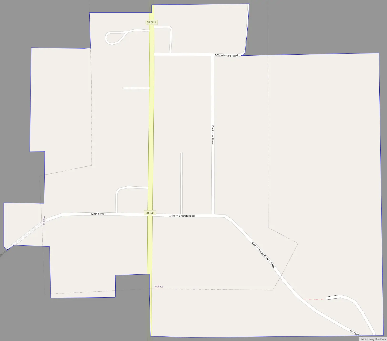
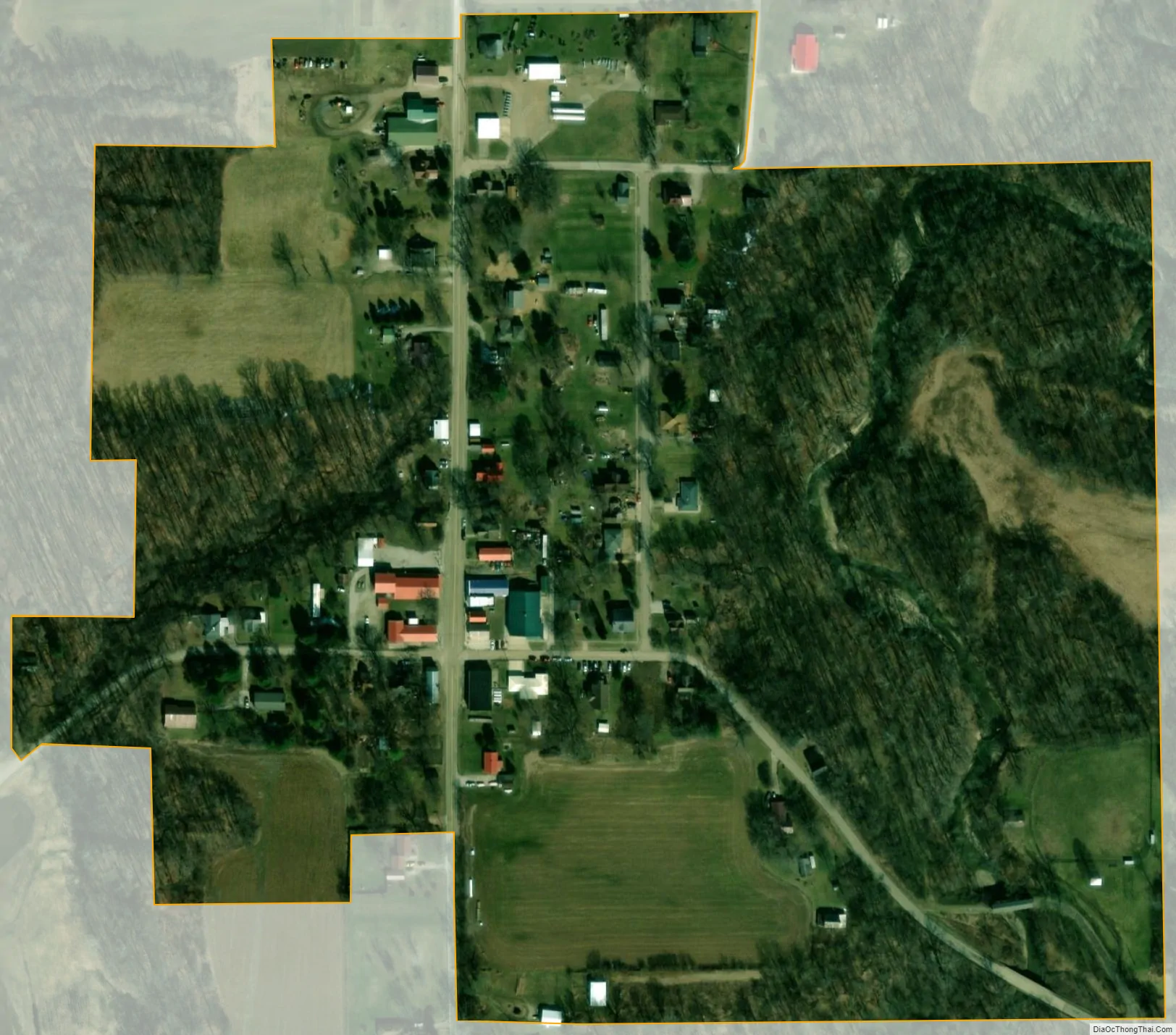
Wallace city Satellite Map
Geography
Wallace is located at 39°59’14” north, 87°8’53” west (39.987282, -87.148050). Mill Creek, which flows from the northeast, borders the town to the east and south.
According to the 2010 census, Wallace has a total area of 0.09 square miles (0.23 km), all land.
See also
Map of Indiana State and its subdivision:- Adams
- Allen
- Bartholomew
- Benton
- Blackford
- Boone
- Brown
- Carroll
- Cass
- Clark
- Clay
- Clinton
- Crawford
- Daviess
- De Kalb
- Dearborn
- Decatur
- Delaware
- Dubois
- Elkhart
- Fayette
- Floyd
- Fountain
- Franklin
- Fulton
- Gibson
- Grant
- Greene
- Hamilton
- Hancock
- Harrison
- Hendricks
- Henry
- Howard
- Huntington
- Jackson
- Jasper
- Jay
- Jefferson
- Jennings
- Johnson
- Knox
- Kosciusko
- LaGrange
- Lake
- Lake Michigan
- LaPorte
- Lawrence
- Madison
- Marion
- Marshall
- Martin
- Miami
- Monroe
- Montgomery
- Morgan
- Newton
- Noble
- Ohio
- Orange
- Owen
- Parke
- Perry
- Pike
- Porter
- Posey
- Pulaski
- Putnam
- Randolph
- Ripley
- Rush
- Saint Joseph
- Scott
- Shelby
- Spencer
- Starke
- Steuben
- Sullivan
- Switzerland
- Tippecanoe
- Tipton
- Union
- Vanderburgh
- Vermillion
- Vigo
- Wabash
- Warren
- Warrick
- Washington
- Wayne
- Wells
- White
- Whitley
- Alabama
- Alaska
- Arizona
- Arkansas
- California
- Colorado
- Connecticut
- Delaware
- District of Columbia
- Florida
- Georgia
- Hawaii
- Idaho
- Illinois
- Indiana
- Iowa
- Kansas
- Kentucky
- Louisiana
- Maine
- Maryland
- Massachusetts
- Michigan
- Minnesota
- Mississippi
- Missouri
- Montana
- Nebraska
- Nevada
- New Hampshire
- New Jersey
- New Mexico
- New York
- North Carolina
- North Dakota
- Ohio
- Oklahoma
- Oregon
- Pennsylvania
- Rhode Island
- South Carolina
- South Dakota
- Tennessee
- Texas
- Utah
- Vermont
- Virginia
- Washington
- West Virginia
- Wisconsin
- Wyoming