Walkerton is a town in Lincoln Township, St. Joseph County, in the U.S. state of Indiana. The population was 2,144 at the 2010 Census. It is part of the South Bend–Mishawaka, IN-MI, Metropolitan Statistical Area.
| Name: | Walkerton town |
|---|---|
| LSAD Code: | 43 |
| LSAD Description: | town (suffix) |
| State: | Indiana |
| County: | St. Joseph County |
| Elevation: | 722 ft (220 m) |
| Total Area: | 1.90 sq mi (4.93 km²) |
| Land Area: | 1.90 sq mi (4.93 km²) |
| Water Area: | 0.00 sq mi (0.00 km²) |
| Total Population: | 2,096 |
| Population Density: | 1,100.84/sq mi (425.05/km²) |
| ZIP code: | 46574 |
| Area code: | 574 |
| FIPS code: | 1879694 |
| GNISfeature ID: | 452831 |
| Website: | http://www.walkerton.org/ |
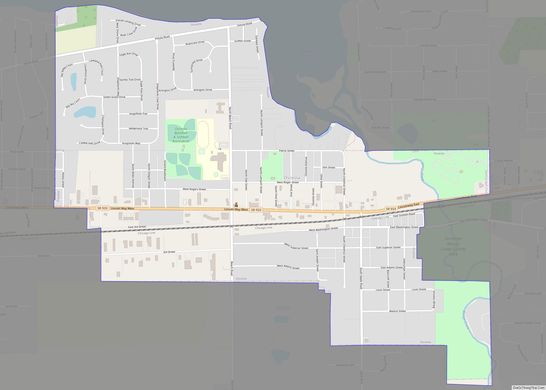
Online Interactive Map
Click on ![]() to view map in "full screen" mode.
to view map in "full screen" mode.
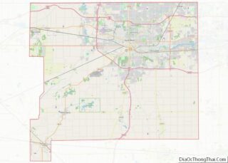
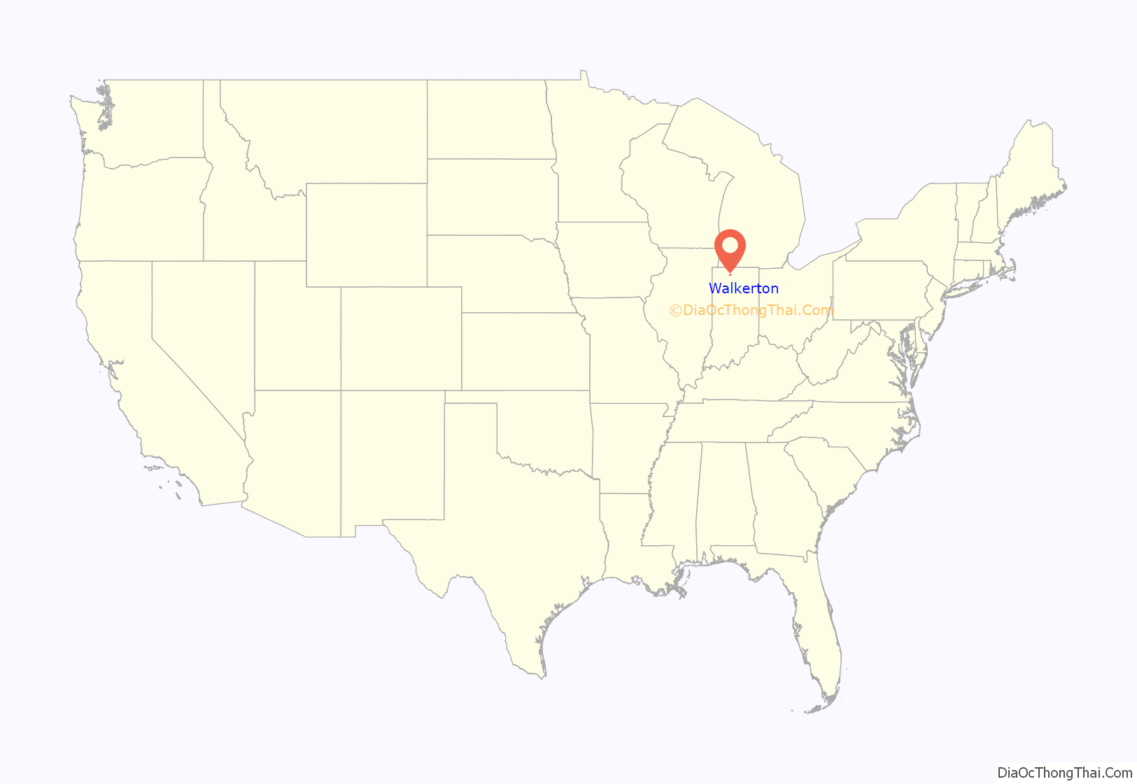
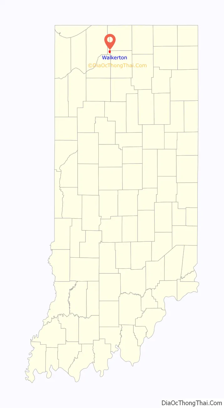
Walkerton location map. Where is Walkerton town?
History
Walkerton was platted in 1856. It was named for John Walker, a railroad promoter. The town was laid out by the railroad surveyors and the first lot was taken by C.W.N. Stephens, Walkerton’s first postmaster. Stephens relocated his general store from nearby West York. The Walkerton post office has been in operation since 1860.
During World War II Walkerton housed some of the workers for the nearby Kingsbury Ordnance Plant. The plant initially sought 10,000 workers, and the entire population of LaPorte numbered only 16,000 in 1940. In August 1941 Kingsbury’s first shells were loaded and en route to the front lines.
In July 2006, Walkerton celebrated its sesquicentennial (150-year anniversary).
In April, 2015, Walkerton gained national attention after the owners of the town’s local pizza parlor, Memories Pizza, became the first known Indiana business to advertise that it would not cater to a gay wedding after the passing of Indiana’s Religious Freedom Restoration Act.
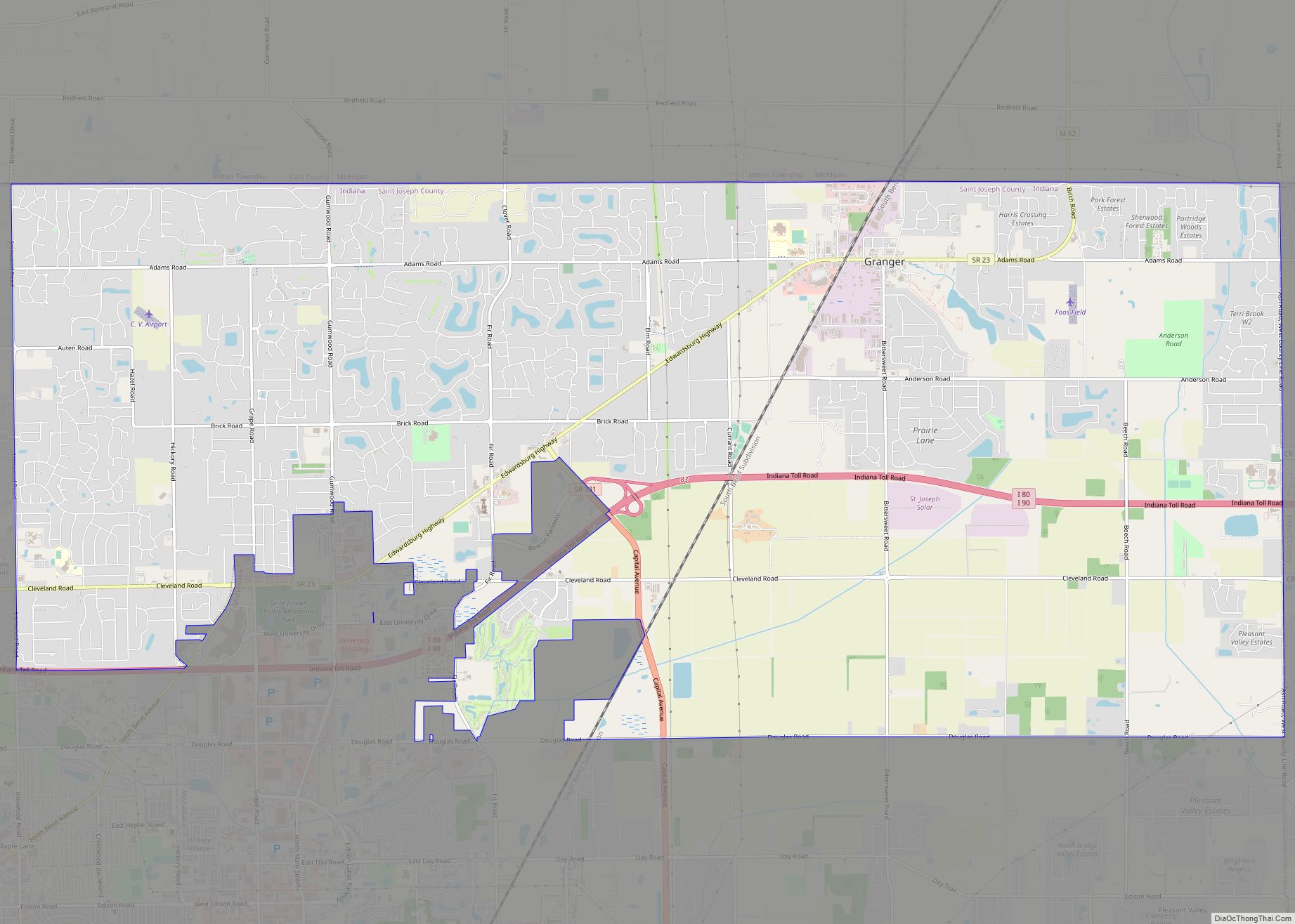
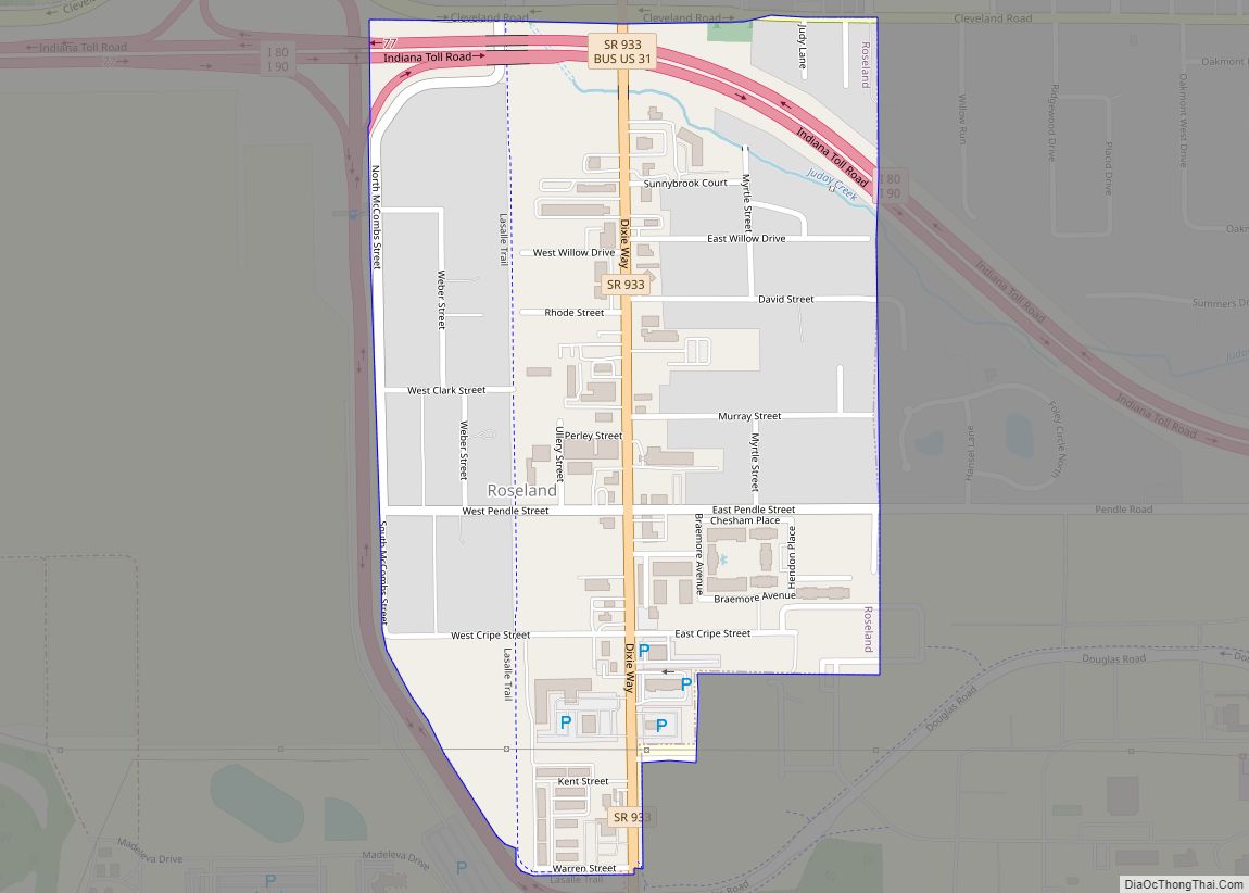
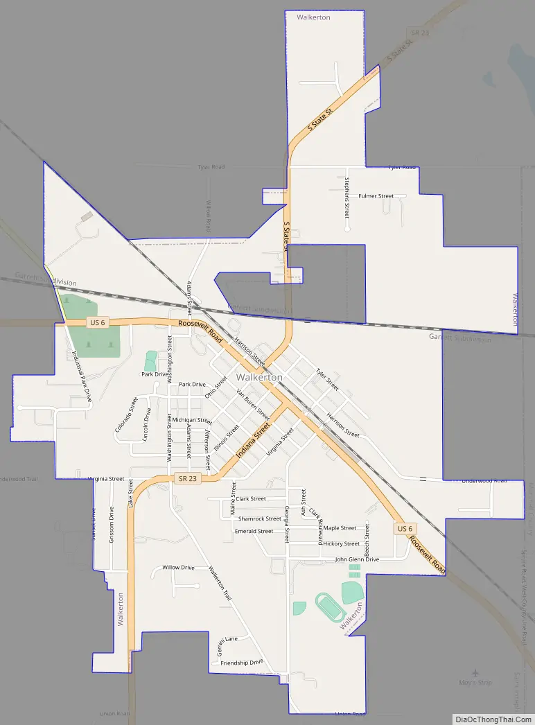
Walkerton Road Map
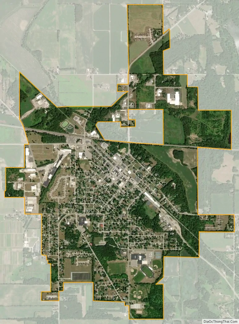
Walkerton city Satellite Map
Geography
According to the 2010 census, Walkerton has a total area of 1.96 square miles (5.08 km), all land.
See also
Map of Indiana State and its subdivision:- Adams
- Allen
- Bartholomew
- Benton
- Blackford
- Boone
- Brown
- Carroll
- Cass
- Clark
- Clay
- Clinton
- Crawford
- Daviess
- De Kalb
- Dearborn
- Decatur
- Delaware
- Dubois
- Elkhart
- Fayette
- Floyd
- Fountain
- Franklin
- Fulton
- Gibson
- Grant
- Greene
- Hamilton
- Hancock
- Harrison
- Hendricks
- Henry
- Howard
- Huntington
- Jackson
- Jasper
- Jay
- Jefferson
- Jennings
- Johnson
- Knox
- Kosciusko
- LaGrange
- Lake
- Lake Michigan
- LaPorte
- Lawrence
- Madison
- Marion
- Marshall
- Martin
- Miami
- Monroe
- Montgomery
- Morgan
- Newton
- Noble
- Ohio
- Orange
- Owen
- Parke
- Perry
- Pike
- Porter
- Posey
- Pulaski
- Putnam
- Randolph
- Ripley
- Rush
- Saint Joseph
- Scott
- Shelby
- Spencer
- Starke
- Steuben
- Sullivan
- Switzerland
- Tippecanoe
- Tipton
- Union
- Vanderburgh
- Vermillion
- Vigo
- Wabash
- Warren
- Warrick
- Washington
- Wayne
- Wells
- White
- Whitley
- Alabama
- Alaska
- Arizona
- Arkansas
- California
- Colorado
- Connecticut
- Delaware
- District of Columbia
- Florida
- Georgia
- Hawaii
- Idaho
- Illinois
- Indiana
- Iowa
- Kansas
- Kentucky
- Louisiana
- Maine
- Maryland
- Massachusetts
- Michigan
- Minnesota
- Mississippi
- Missouri
- Montana
- Nebraska
- Nevada
- New Hampshire
- New Jersey
- New Mexico
- New York
- North Carolina
- North Dakota
- Ohio
- Oklahoma
- Oregon
- Pennsylvania
- Rhode Island
- South Carolina
- South Dakota
- Tennessee
- Texas
- Utah
- Vermont
- Virginia
- Washington
- West Virginia
- Wisconsin
- Wyoming