Waterloo is a town in Grant and Smithfield townships, DeKalb County, Indiana, United States. The population was 2,242 at the 2010 census.
| Name: | Waterloo town |
|---|---|
| LSAD Code: | 43 |
| LSAD Description: | town (suffix) |
| State: | Indiana |
| County: | DeKalb County |
| Elevation: | 906 ft (276 m) |
| Total Area: | 2.11 sq mi (5.47 km²) |
| Land Area: | 2.11 sq mi (5.47 km²) |
| Water Area: | 0.00 sq mi (0.00 km²) |
| Total Population: | 2,116 |
| Population Density: | 1,002.84/sq mi (387.16/km²) |
| ZIP code: | 46793 |
| Area code: | 260 |
| FIPS code: | 1881278 |
| GNISfeature ID: | 0445542 |
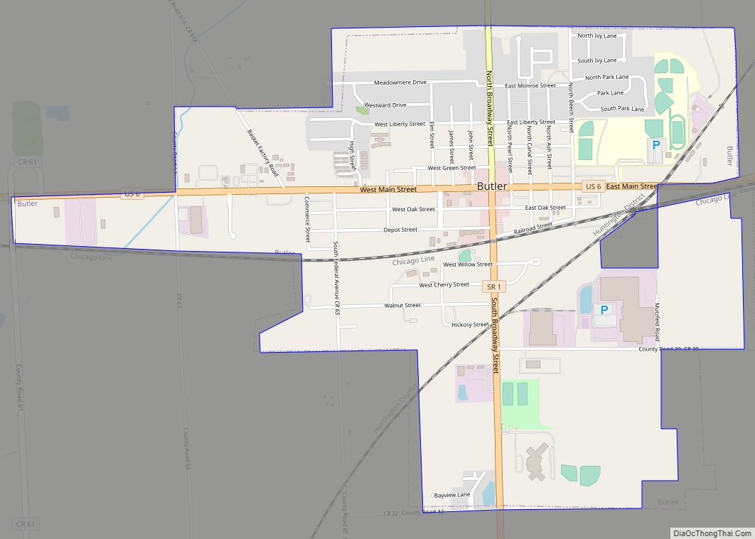
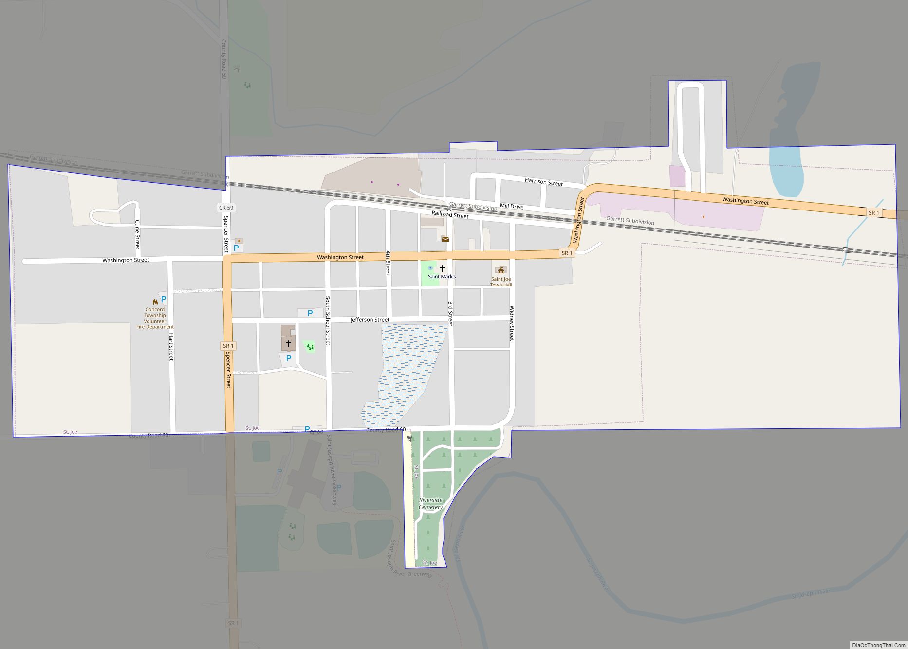
Online Interactive Map
Click on ![]() to view map in "full screen" mode.
to view map in "full screen" mode.
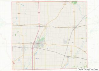
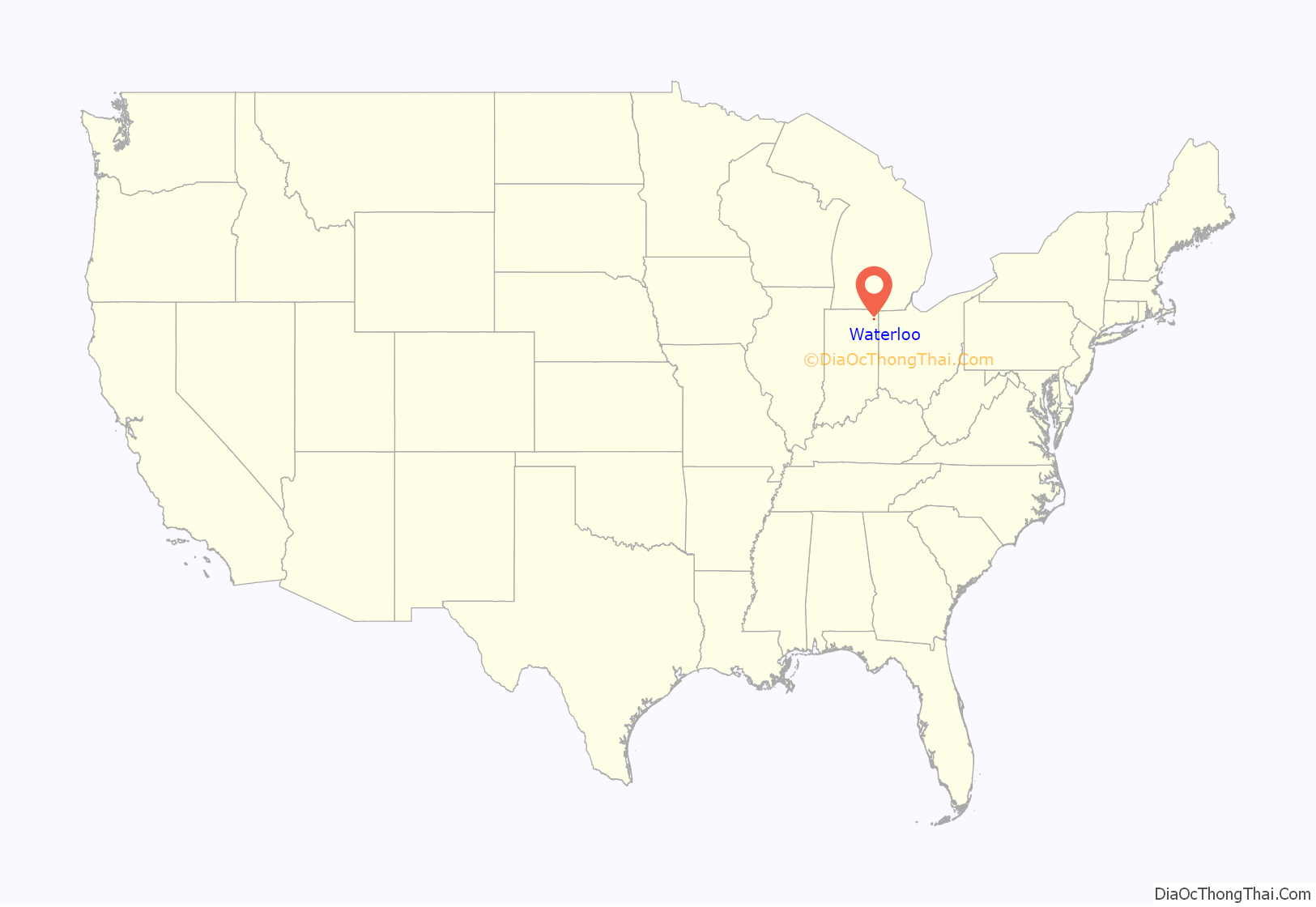
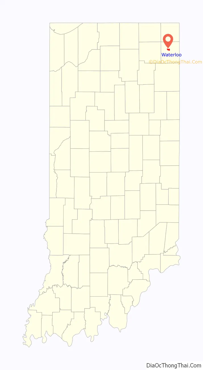
Waterloo location map. Where is Waterloo town?
History
Waterloo was laid out in 1856 when the railroad was extended to that point. It was likely named after Waterloo, in Belgium.
The Waterloo Community Mausoleum was added to the National Register of Historic Places in 2014.
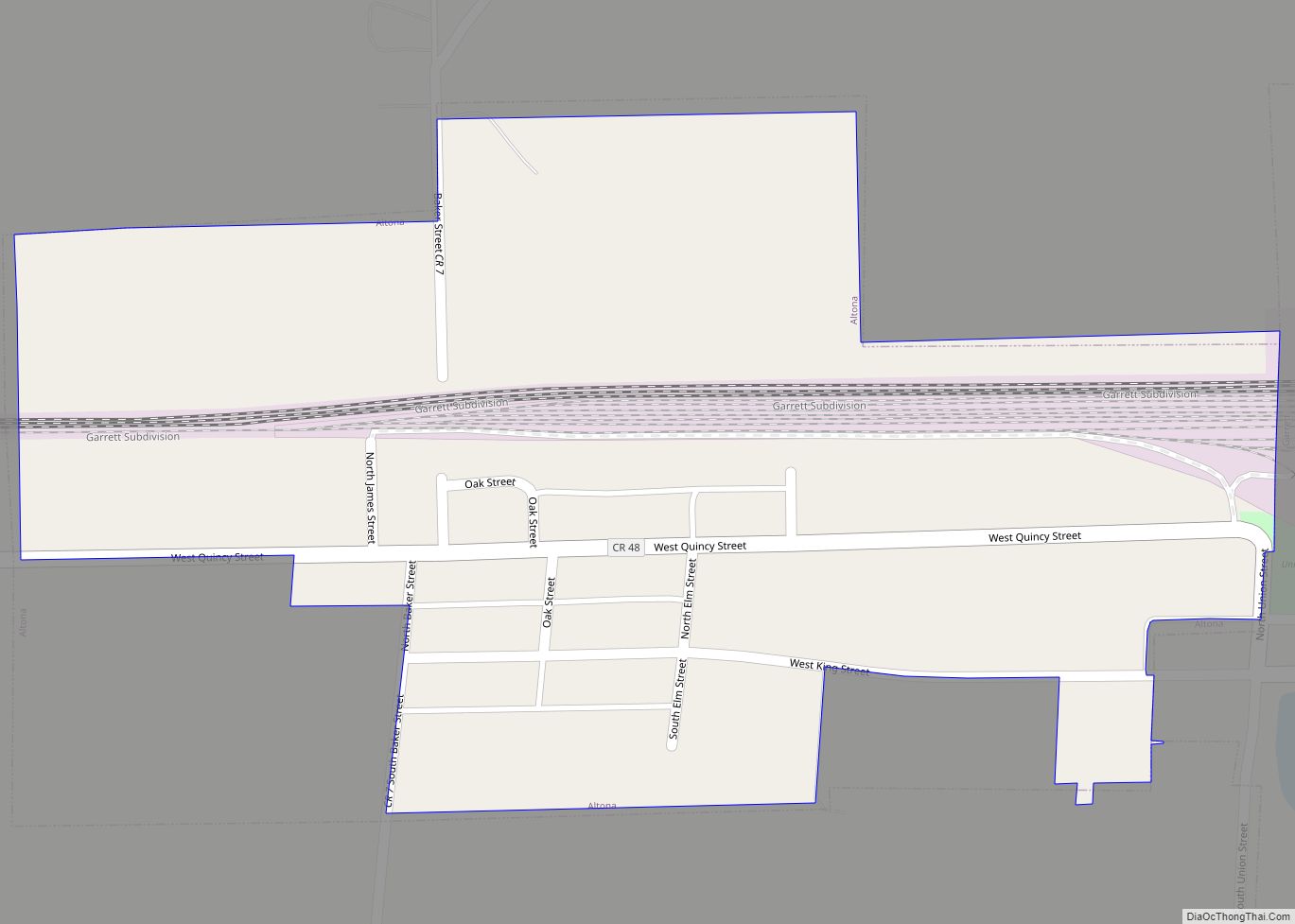
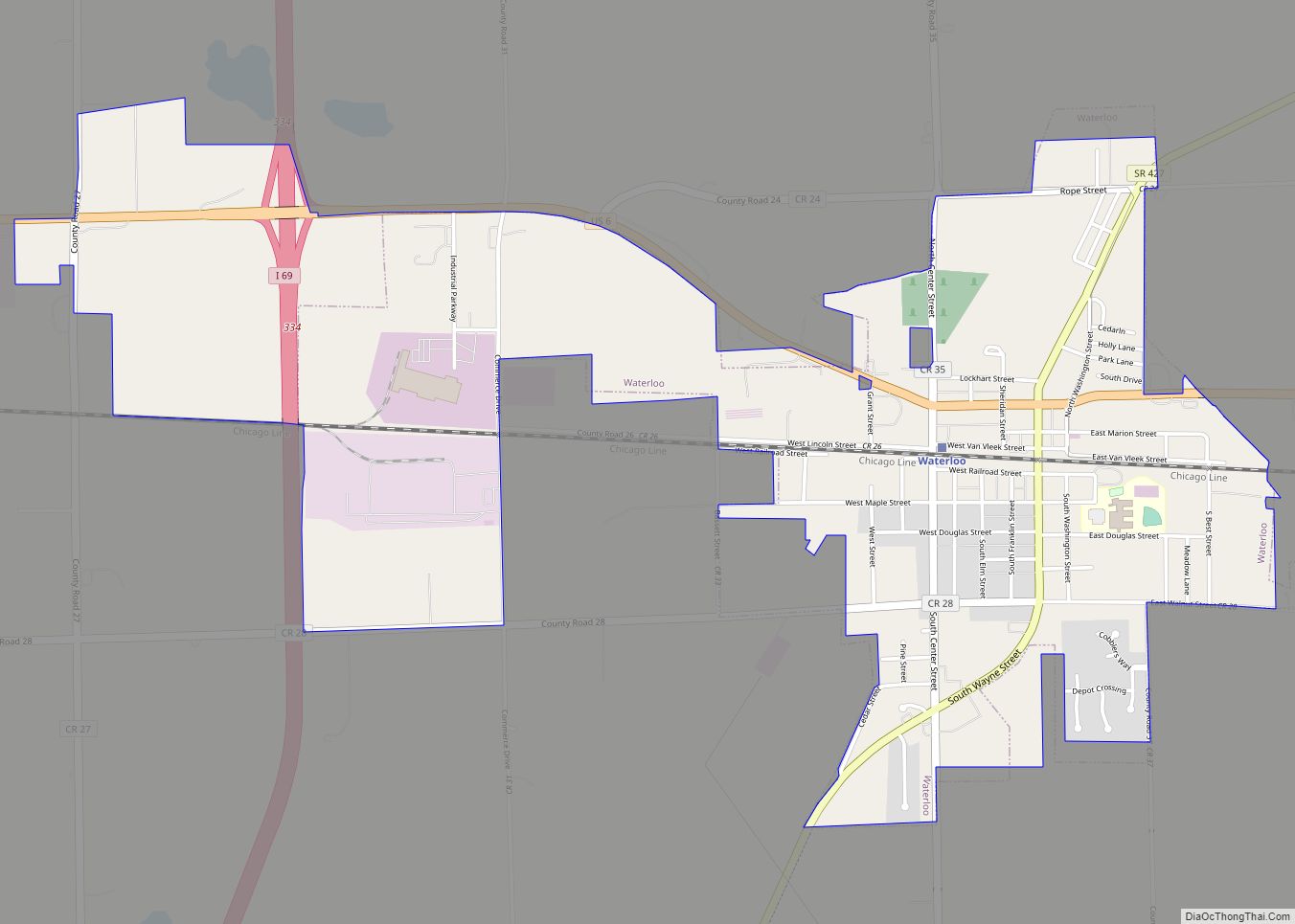
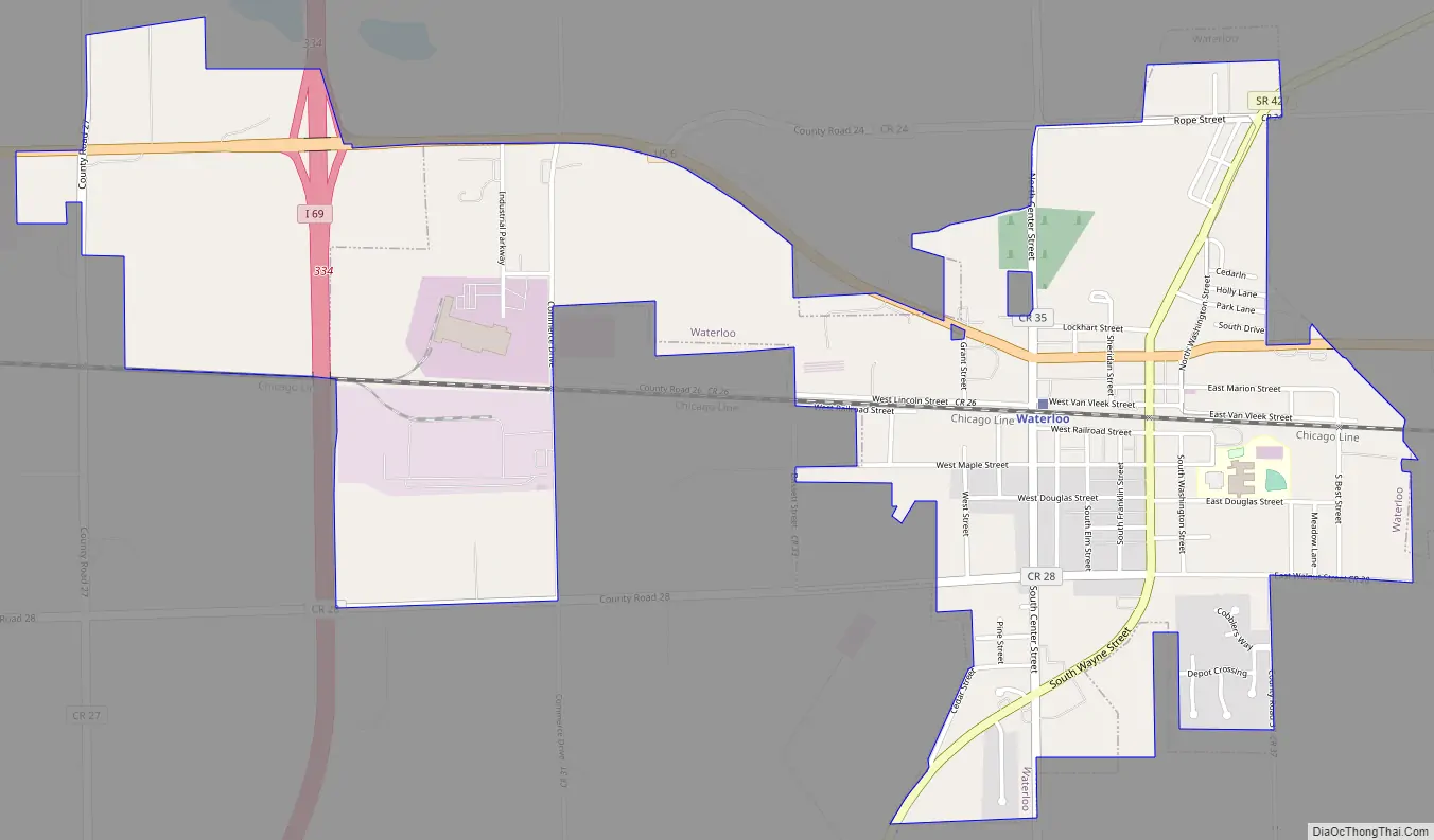
Waterloo Road Map
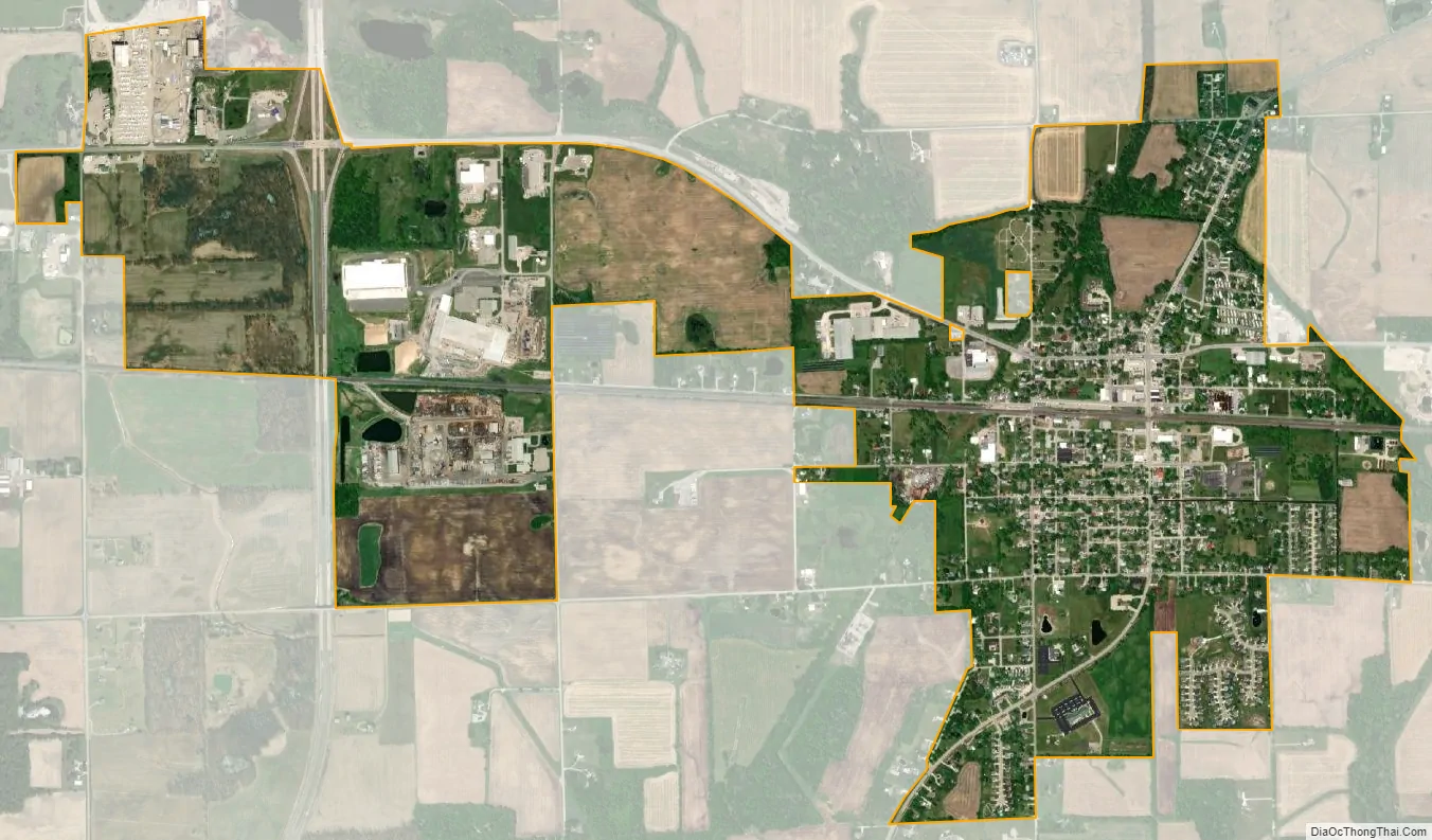
Waterloo city Satellite Map
Geography
Waterloo is located at 41°25′53″N 85°1′21″W / 41.43139°N 85.02250°W / 41.43139; -85.02250.
According to the 2010 census, Waterloo has a total area of 1.74 square miles (4.51 km), all land.
A nearly complete mastodon skeleton discovered near Waterloo in 1888 is displayed at the Carnegie Museum of Natural History in Pittsburgh.
See also
Map of Indiana State and its subdivision:- Adams
- Allen
- Bartholomew
- Benton
- Blackford
- Boone
- Brown
- Carroll
- Cass
- Clark
- Clay
- Clinton
- Crawford
- Daviess
- De Kalb
- Dearborn
- Decatur
- Delaware
- Dubois
- Elkhart
- Fayette
- Floyd
- Fountain
- Franklin
- Fulton
- Gibson
- Grant
- Greene
- Hamilton
- Hancock
- Harrison
- Hendricks
- Henry
- Howard
- Huntington
- Jackson
- Jasper
- Jay
- Jefferson
- Jennings
- Johnson
- Knox
- Kosciusko
- LaGrange
- Lake
- Lake Michigan
- LaPorte
- Lawrence
- Madison
- Marion
- Marshall
- Martin
- Miami
- Monroe
- Montgomery
- Morgan
- Newton
- Noble
- Ohio
- Orange
- Owen
- Parke
- Perry
- Pike
- Porter
- Posey
- Pulaski
- Putnam
- Randolph
- Ripley
- Rush
- Saint Joseph
- Scott
- Shelby
- Spencer
- Starke
- Steuben
- Sullivan
- Switzerland
- Tippecanoe
- Tipton
- Union
- Vanderburgh
- Vermillion
- Vigo
- Wabash
- Warren
- Warrick
- Washington
- Wayne
- Wells
- White
- Whitley
- Alabama
- Alaska
- Arizona
- Arkansas
- California
- Colorado
- Connecticut
- Delaware
- District of Columbia
- Florida
- Georgia
- Hawaii
- Idaho
- Illinois
- Indiana
- Iowa
- Kansas
- Kentucky
- Louisiana
- Maine
- Maryland
- Massachusetts
- Michigan
- Minnesota
- Mississippi
- Missouri
- Montana
- Nebraska
- Nevada
- New Hampshire
- New Jersey
- New Mexico
- New York
- North Carolina
- North Dakota
- Ohio
- Oklahoma
- Oregon
- Pennsylvania
- Rhode Island
- South Carolina
- South Dakota
- Tennessee
- Texas
- Utah
- Vermont
- Virginia
- Washington
- West Virginia
- Wisconsin
- Wyoming