Washington is a city in Daviess County, Indiana. The population was 11,509 at the time of the 2010 census. The city is the county seat of Daviess County. It is also the principal city of the Washington, Indiana Micropolitan Statistical Area, which comprises all of Daviess County and had an estimated 2017 population of 31,648.
| Name: | Washington city |
|---|---|
| LSAD Code: | 25 |
| LSAD Description: | city (suffix) |
| State: | Indiana |
| County: | Daviess County |
| Elevation: | 532 ft (162 m) |
| Total Area: | 6.67 sq mi (17.27 km²) |
| Land Area: | 6.63 sq mi (17.17 km²) |
| Water Area: | 0.04 sq mi (0.11 km²) 0.84% |
| Total Population: | 11,509 |
| Population Density: | 1,890.16/sq mi (729.79/km²) |
| ZIP code: | 47501 |
| Area code: | 812, 930 |
| FIPS code: | 1880504 |
| GNISfeature ID: | 2397205 |
| Website: | http://www.washingtonin.us |
Online Interactive Map
Click on ![]() to view map in "full screen" mode.
to view map in "full screen" mode.
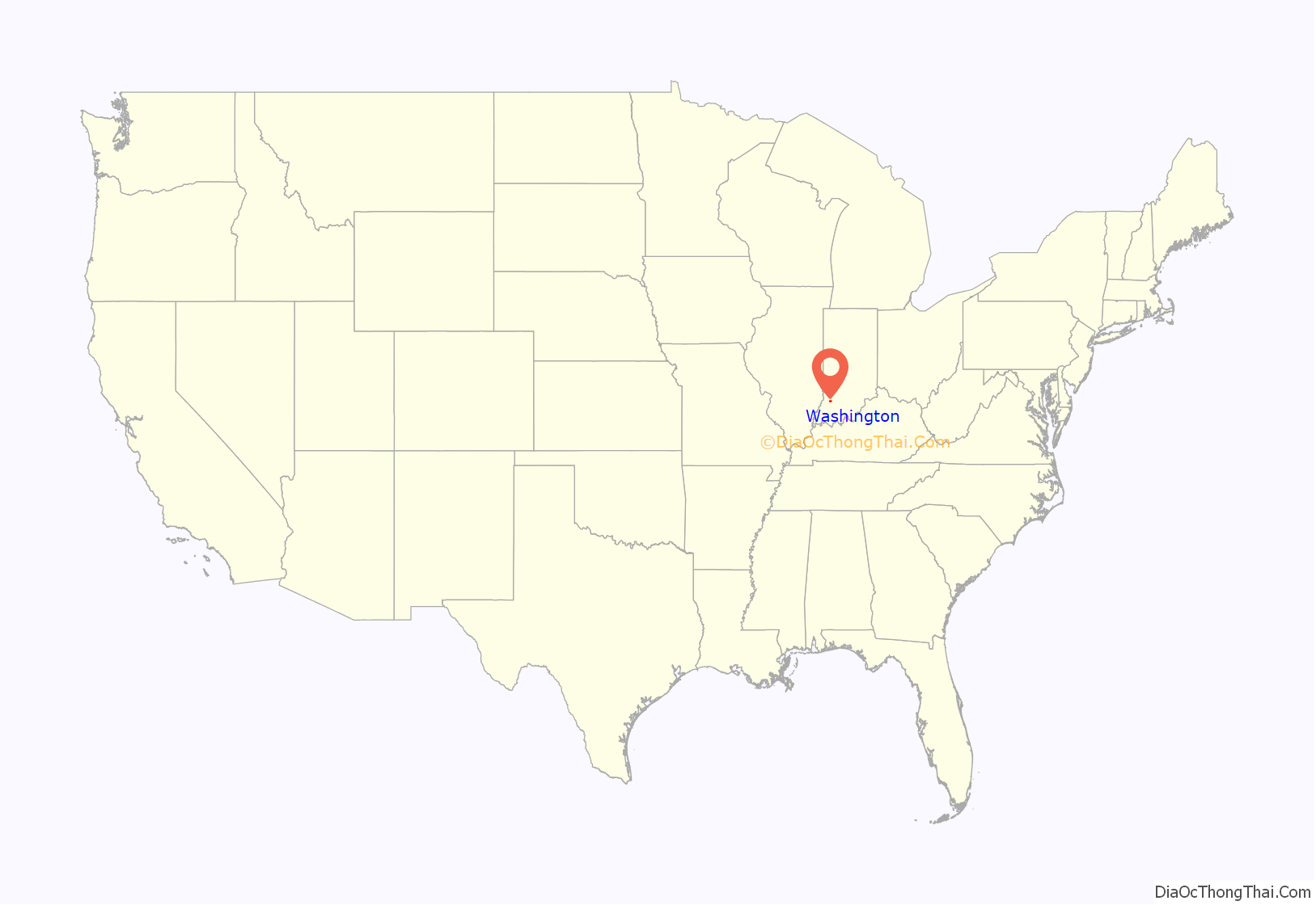
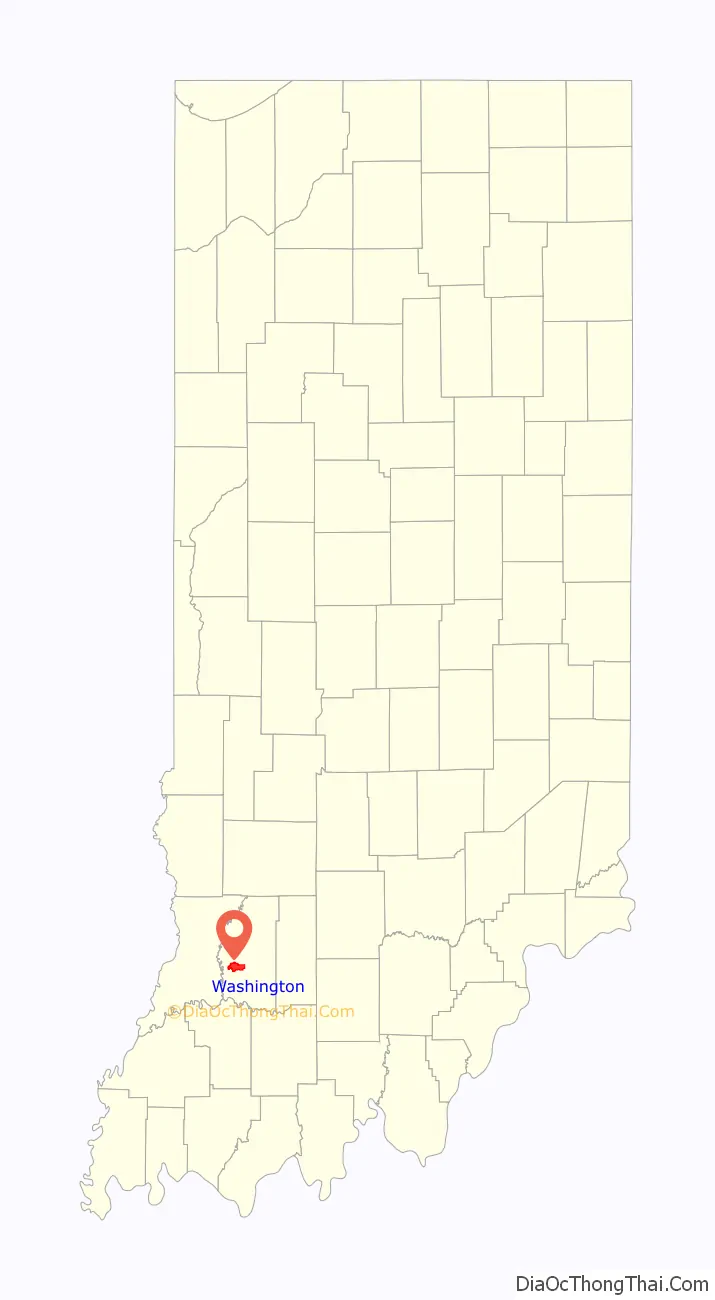
Washington location map. Where is Washington city?
History
Washington was platted in 1815. It was named from Washington Township.
The railroad was built through Washington in 1857. By 1889, it was a major depot and repair yard for the Ohio and Mississippi Railroad. The Baltimore and Ohio Railroad took over the line in 1893. During this time, the railroad employed over 1,000 workers.
On November 17, 2013, an EF2 tornado tore through the western edge of the city destroying 20 homes and severely damaging 20 others.
The Magnus J. Carnahan House, Daviess County Courthouse, Thomas Faith House, Robert C. Graham House, Dr. John A. Scudder House, Washington Commercial Historic District, and Dr. Nelson Wilson House are listed on the National Register of Historic Places.
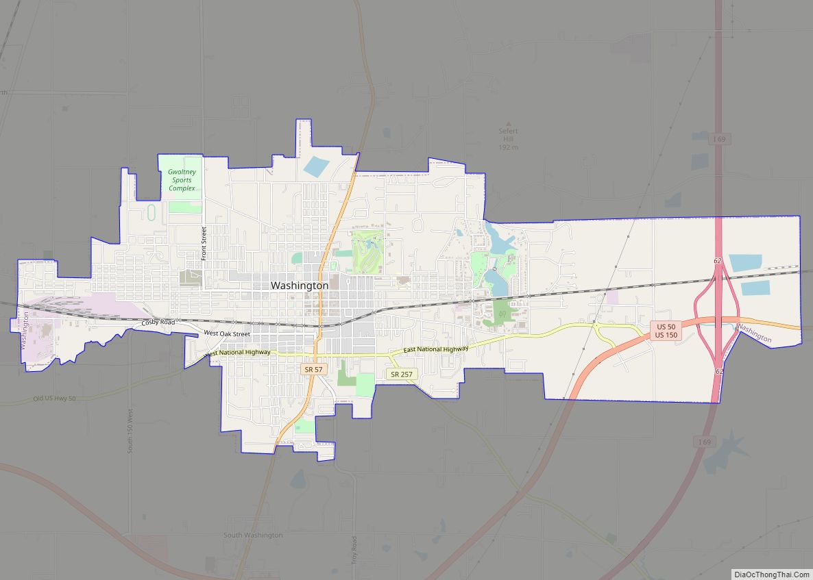
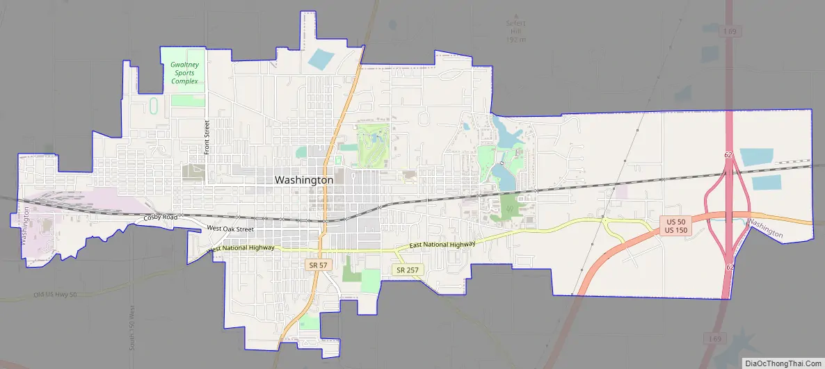
Washington Road Map
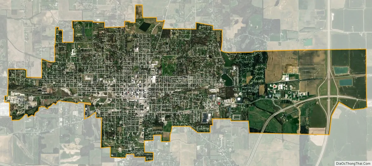
Washington city Satellite Map
Geography
W According to the 2010 census, Washington has a total area of 4.767 square miles (12.35 km), of which 4.73 square miles (12.25 km) (or 99.22%) is land and 0.037 square miles (0.10 km) (or 0.78%) is water.
Climate
Washington has a humid subtropical climate (Köppen classification Cfa), with four distinct seasons. Winters are cool to chilly with moderate snowfall, while summers are warm and humid.
See also
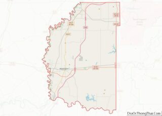
Map of Indiana State and its subdivision:- Adams
- Allen
- Bartholomew
- Benton
- Blackford
- Boone
- Brown
- Carroll
- Cass
- Clark
- Clay
- Clinton
- Crawford
- Daviess
- De Kalb
- Dearborn
- Decatur
- Delaware
- Dubois
- Elkhart
- Fayette
- Floyd
- Fountain
- Franklin
- Fulton
- Gibson
- Grant
- Greene
- Hamilton
- Hancock
- Harrison
- Hendricks
- Henry
- Howard
- Huntington
- Jackson
- Jasper
- Jay
- Jefferson
- Jennings
- Johnson
- Knox
- Kosciusko
- LaGrange
- Lake
- Lake Michigan
- LaPorte
- Lawrence
- Madison
- Marion
- Marshall
- Martin
- Miami
- Monroe
- Montgomery
- Morgan
- Newton
- Noble
- Ohio
- Orange
- Owen
- Parke
- Perry
- Pike
- Porter
- Posey
- Pulaski
- Putnam
- Randolph
- Ripley
- Rush
- Saint Joseph
- Scott
- Shelby
- Spencer
- Starke
- Steuben
- Sullivan
- Switzerland
- Tippecanoe
- Tipton
- Union
- Vanderburgh
- Vermillion
- Vigo
- Wabash
- Warren
- Warrick
- Washington
- Wayne
- Wells
- White
- Whitley
- Alabama
- Alaska
- Arizona
- Arkansas
- California
- Colorado
- Connecticut
- Delaware
- District of Columbia
- Florida
- Georgia
- Hawaii
- Idaho
- Illinois
- Indiana
- Iowa
- Kansas
- Kentucky
- Louisiana
- Maine
- Maryland
- Massachusetts
- Michigan
- Minnesota
- Mississippi
- Missouri
- Montana
- Nebraska
- Nevada
- New Hampshire
- New Jersey
- New Mexico
- New York
- North Carolina
- North Dakota
- Ohio
- Oklahoma
- Oregon
- Pennsylvania
- Rhode Island
- South Carolina
- South Dakota
- Tennessee
- Texas
- Utah
- Vermont
- Virginia
- Washington
- West Virginia
- Wisconsin
- Wyoming