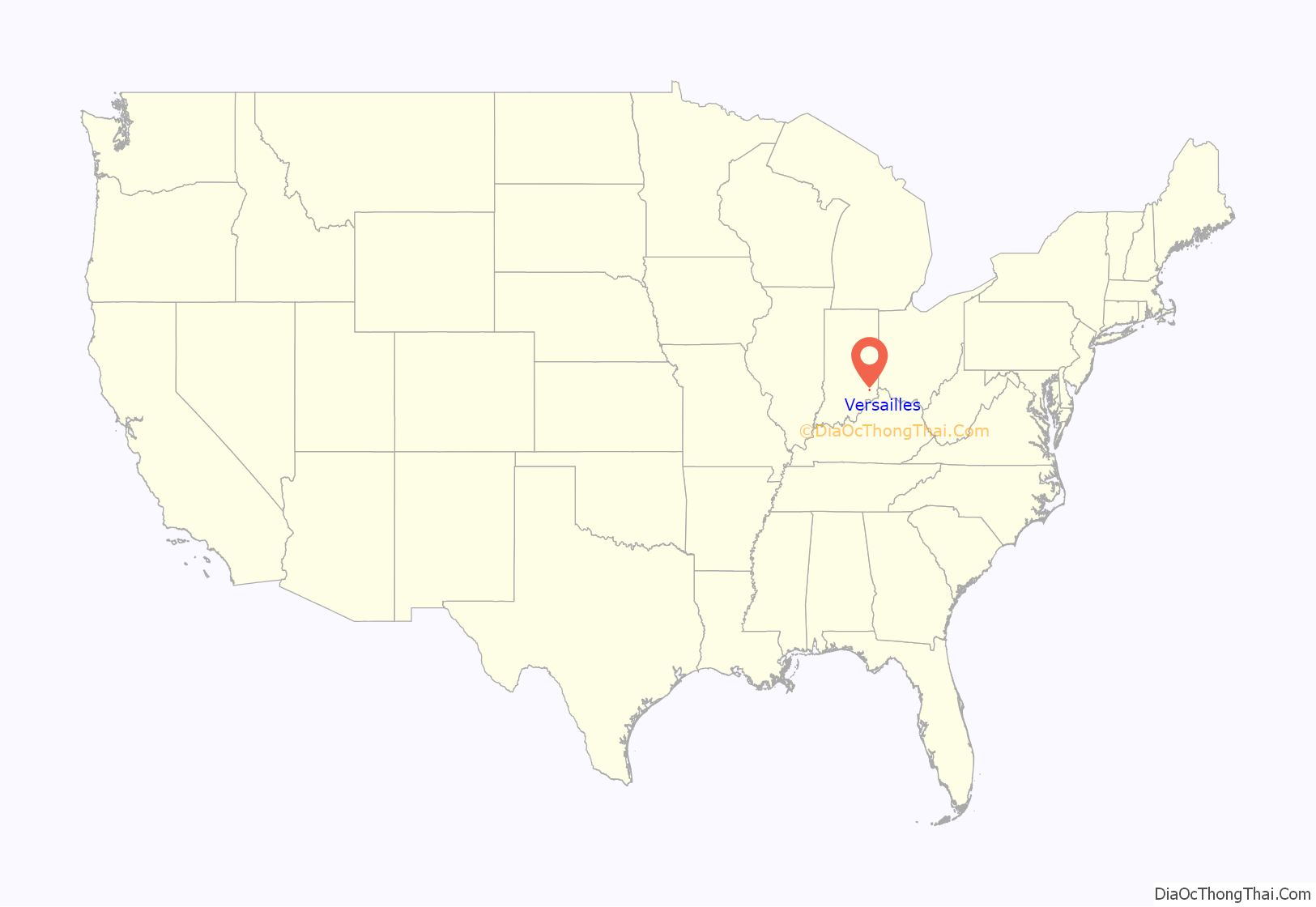
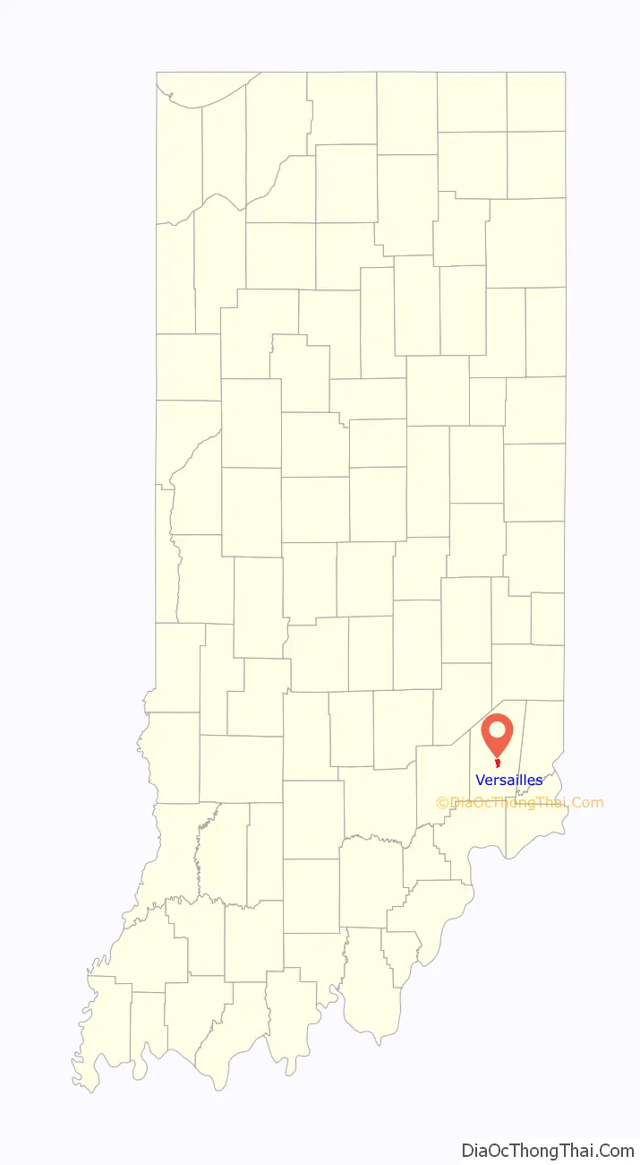
Versailles /vərˈseɪlz/ is a town in Johnson Township, Ripley County, in the U.S. state of Indiana. The population was 2,113 at the 2010 census. The town is the county seat of Ripley County.
| Name: | Versailles town |
|---|---|
| LSAD Code: | 43 |
| LSAD Description: | town (suffix) |
| State: | Indiana |
| County: | Ripley County |
| Elevation: | 965 ft (294 m) |
| Total Area: | 1.57 sq mi (4.06 km²) |
| Land Area: | 1.57 sq mi (4.06 km²) |
| Water Area: | 0.00 sq mi (0.00 km²) |
| Total Population: | 2,184 |
| Population Density: | 1,391.97/sq mi (537.44/km²) |
| ZIP code: | 47042 |
| Area code: | 812 |
| FIPS code: | 1878974 |
| GNISfeature ID: | 445260 |
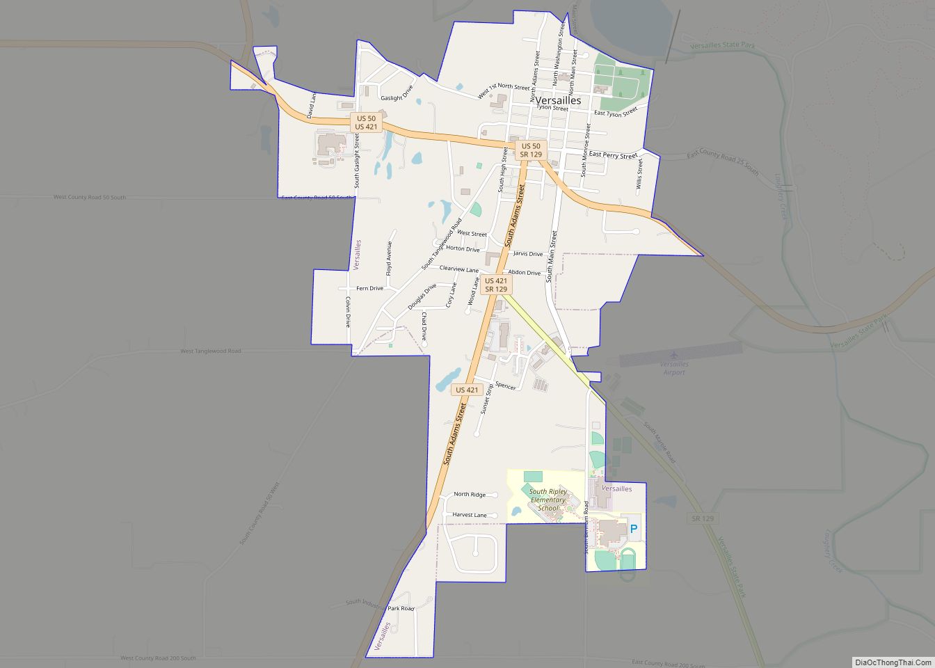
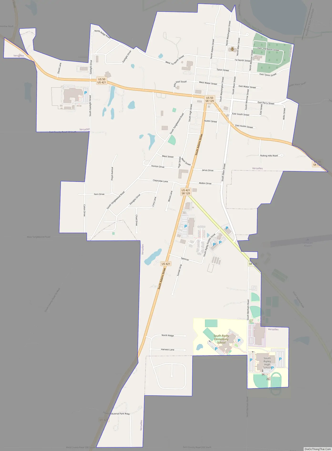
Online Interactive Map
Click on ![]() to view map in "full screen" mode.
to view map in "full screen" mode.
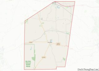
Versailles location map. Where is Versailles town?
History
It was decided in 1818 a county seat should be located at Versailles. The town of Versailles was laid out in 1819. It was named after the Palace of Versailles.
A post office has been in operation at Versailles since 1823.
The Ripley County Courthouse, Fernando G. Taylor House, Tyson United Methodist Church, and Versailles School and Tyson Auditorium are listed on the National Register of Historic Places.
Versailles Road Map
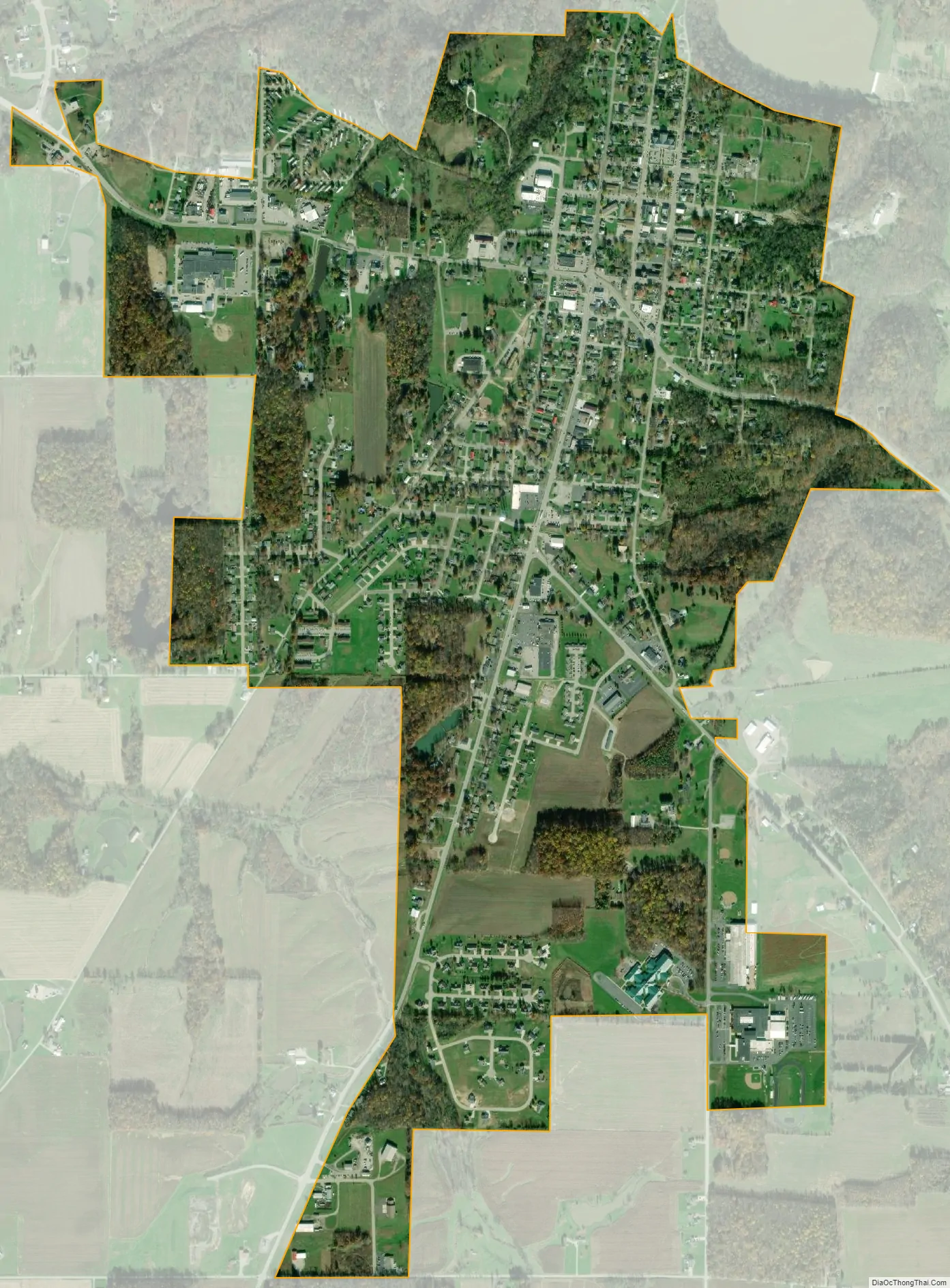
Versailles city Satellite Map
Geography
Versailles is located at 39°4′3″N 85°15′18″W / 39.06750°N 85.25500°W / 39.06750; -85.25500 (39.067624, -85.255026). According to the 2010 census, Versailles has a total area of 1.51 square miles (3.91 km), all land. Laughery Creek is the major stream in the area, and was dammed in 1954 to form 230-acre Versailles Lake, within the Versailles State Park.
See also
Map of Indiana State and its subdivision:- Adams
- Allen
- Bartholomew
- Benton
- Blackford
- Boone
- Brown
- Carroll
- Cass
- Clark
- Clay
- Clinton
- Crawford
- Daviess
- De Kalb
- Dearborn
- Decatur
- Delaware
- Dubois
- Elkhart
- Fayette
- Floyd
- Fountain
- Franklin
- Fulton
- Gibson
- Grant
- Greene
- Hamilton
- Hancock
- Harrison
- Hendricks
- Henry
- Howard
- Huntington
- Jackson
- Jasper
- Jay
- Jefferson
- Jennings
- Johnson
- Knox
- Kosciusko
- LaGrange
- Lake
- Lake Michigan
- LaPorte
- Lawrence
- Madison
- Marion
- Marshall
- Martin
- Miami
- Monroe
- Montgomery
- Morgan
- Newton
- Noble
- Ohio
- Orange
- Owen
- Parke
- Perry
- Pike
- Porter
- Posey
- Pulaski
- Putnam
- Randolph
- Ripley
- Rush
- Saint Joseph
- Scott
- Shelby
- Spencer
- Starke
- Steuben
- Sullivan
- Switzerland
- Tippecanoe
- Tipton
- Union
- Vanderburgh
- Vermillion
- Vigo
- Wabash
- Warren
- Warrick
- Washington
- Wayne
- Wells
- White
- Whitley
- Alabama
- Alaska
- Arizona
- Arkansas
- California
- Colorado
- Connecticut
- Delaware
- District of Columbia
- Florida
- Georgia
- Hawaii
- Idaho
- Illinois
- Indiana
- Iowa
- Kansas
- Kentucky
- Louisiana
- Maine
- Maryland
- Massachusetts
- Michigan
- Minnesota
- Mississippi
- Missouri
- Montana
- Nebraska
- Nevada
- New Hampshire
- New Jersey
- New Mexico
- New York
- North Carolina
- North Dakota
- Ohio
- Oklahoma
- Oregon
- Pennsylvania
- Rhode Island
- South Carolina
- South Dakota
- Tennessee
- Texas
- Utah
- Vermont
- Virginia
- Washington
- West Virginia
- Wisconsin
- Wyoming