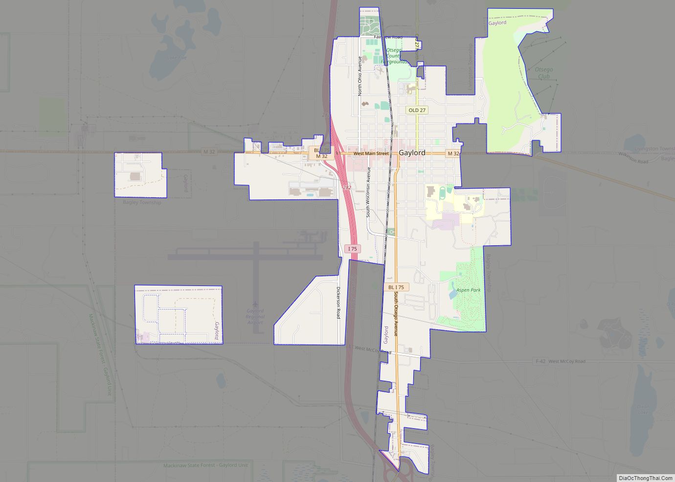
Gaylord (/ɡeɪlərd/ GAY-lərd) is a city in the U.S. state of Michigan. It is the county seat of Otsego County, and is the only city within the county. Gaylord had a population of 4,286 at the 2020 census, an increase from 3,645 at the 2010 census. Gaylord styles itself as an “alpine village” and contains ... Read more
Michigan Cities and Places
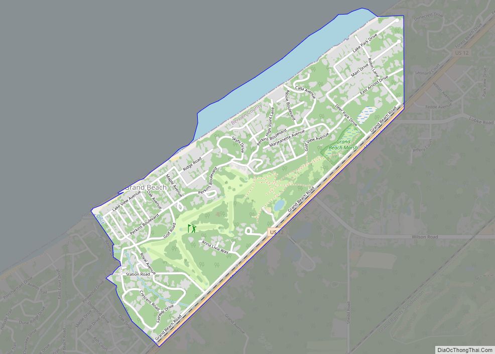
Grand Beach is a village in Berrien County in the U.S. state of Michigan. The population was 272 at the 2010 census. The village is within New Buffalo Township on the shore of Lake Michigan near to the Michigan-Indiana border. Grand Beach village overview: Name: Grand Beach village LSAD Code: 47 LSAD Description: village (suffix) ... Read more
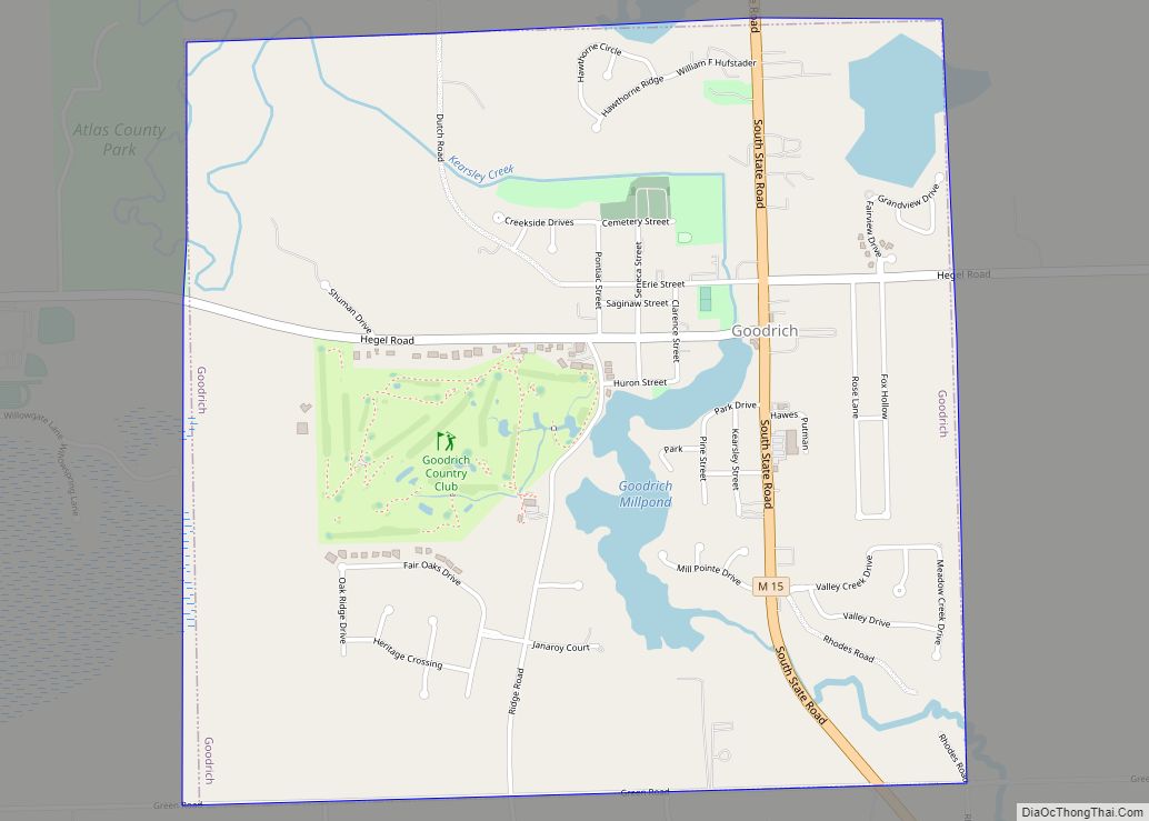
Goodrich is a village in Genesee County in the U.S. state of Michigan. The population was 1,860 at the 2010 census. The village is a suburb of Flint located within Atlas Township. Goodrich village overview: Name: Goodrich village LSAD Code: 47 LSAD Description: village (suffix) State: Michigan County: Genesee County Incorporated: 1957 Elevation: 873 ft (266 m) ... Read more
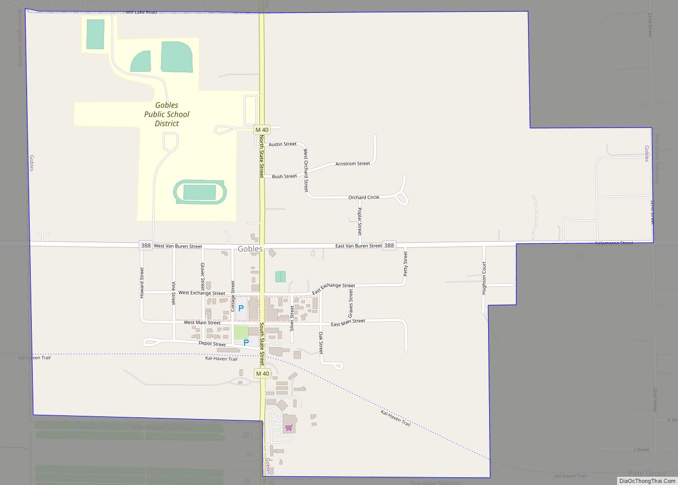
Gobles is a city in Van Buren County of the U.S. state of Michigan. As of the 2010 census, the city population was 829. It was originally called Gobleville, after its founders, the Goble family. Gobles city overview: Name: Gobles city LSAD Code: 25 LSAD Description: city (suffix) State: Michigan County: Van Buren County Elevation: ... Read more
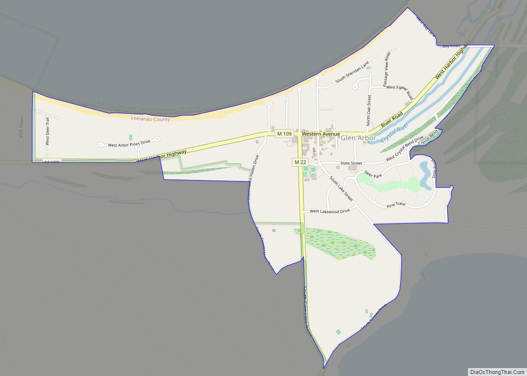
Glen Arbor is an unincorporated community and census-designated place in Glen Arbor Township, Leelanau County, Michigan, United States. A small tourist town, Glen Arbor lies on an isthmus between Lake Michigan and Glen Lake. It is adjacent to Sleeping Bear Dunes National Lakeshore. Its population was 261 as of the 2020 census, up from 229 ... Read more
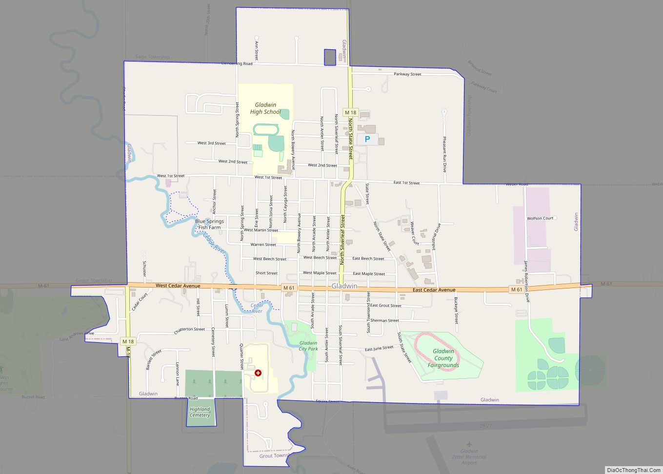
Gladwin is a city in Gladwin County in the U.S. state of Michigan. The population was 2,933 at the 2010 census. Gladwin is the county seat of Gladwin County. The city is at the southwest corner of Gladwin Township, but the two are administered autonomously. Gladwin city overview: Name: Gladwin city LSAD Code: 25 LSAD ... Read more
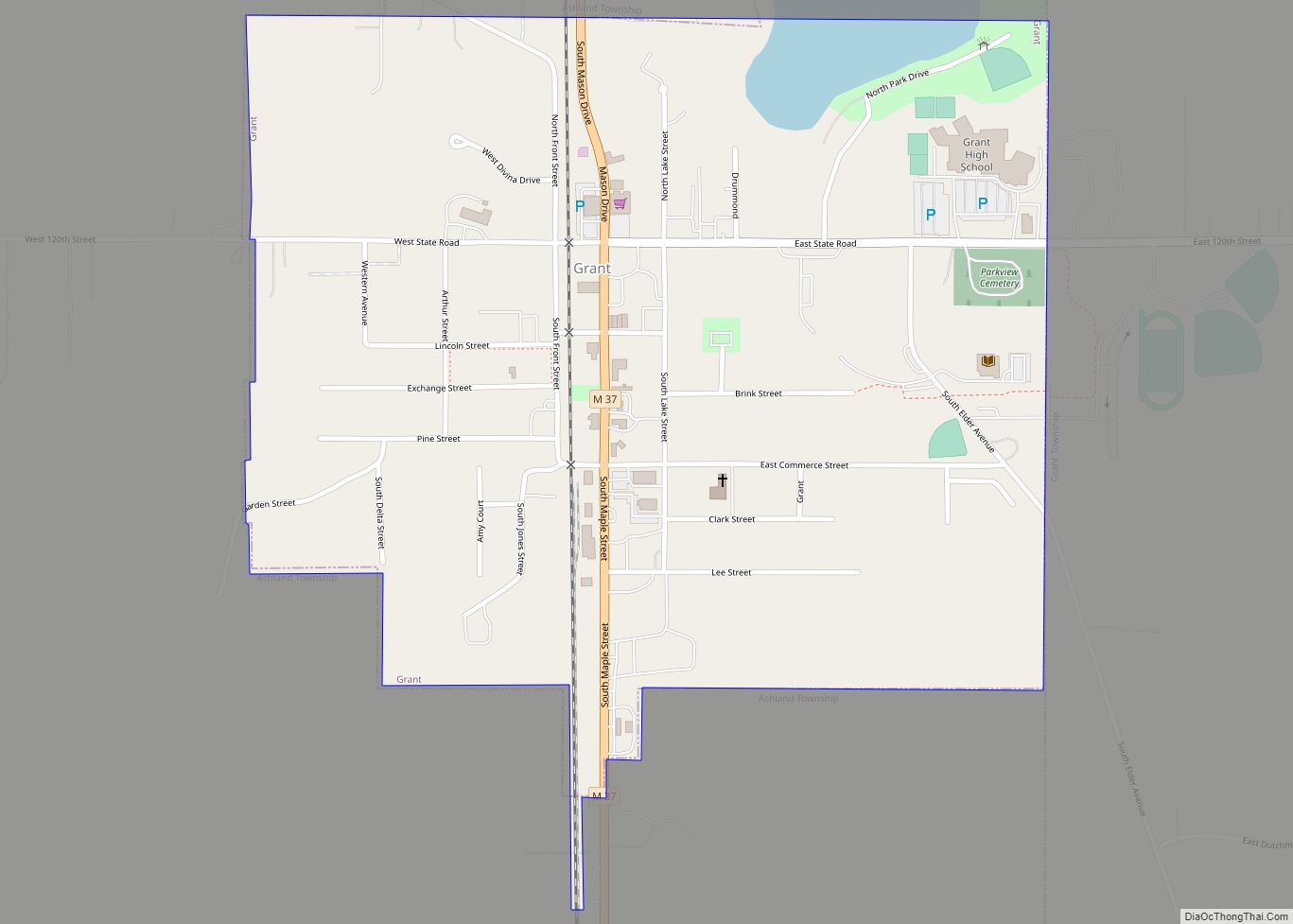
Grant is a city in Newaygo County in the U.S. state of Michigan. The population was 952 at the 2020 census. The city is adjacent to Grant Township and Ashland Township. It is a part of the Grand Rapids-Muskegon-Holland, Michigan combined statistical area. Grant city overview: Name: Grant city LSAD Code: 25 LSAD Description: city ... Read more
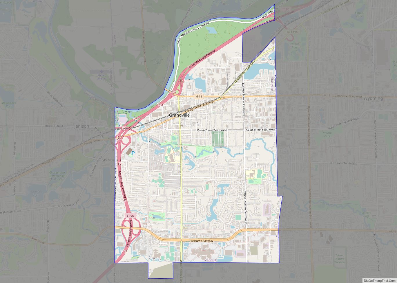
Grandville is a city in Kent County in the U.S. state of Michigan. The population was 15,378 at the 2010 census. Grandville is just southwest of the city of Grand Rapids and is part of the Grand Rapids metropolitan area. It was first settled in 1833 and later incorporated as a city in 1933. Grandville ... Read more
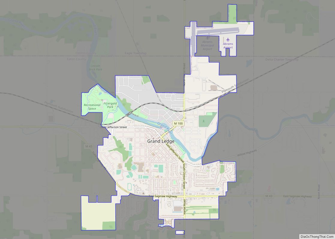
Grand Ledge is a city in the U.S. state of Michigan. The city lies mostly within Eaton County, though a small portion extends into Clinton County to the north. The city sits along the Grand River 12.7 miles (20.4 kilometers) west of downtown Lansing. The population was 7,786 at the 2010 census. The city is ... Read more
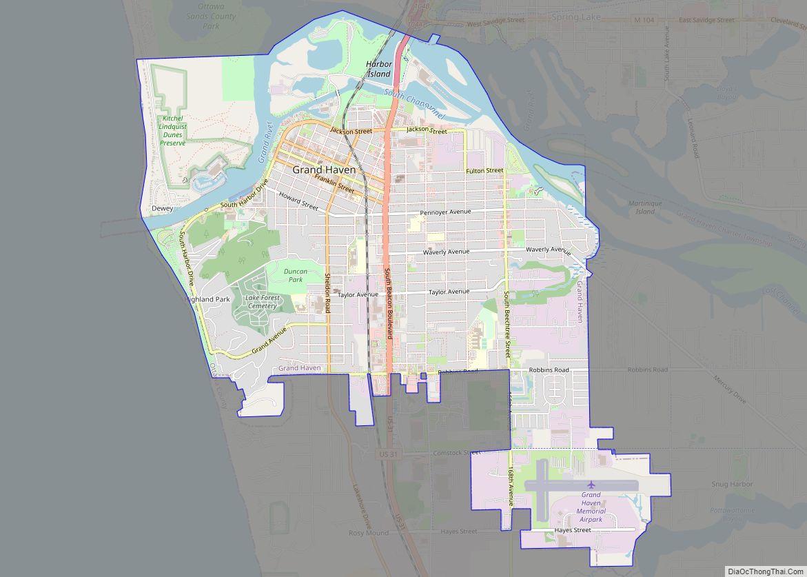
Grand Haven is a city within the U.S. state of Michigan and the county seat of Ottawa County. Grand Haven is located on the eastern shore of Lake Michigan at the mouth of the Grand River, for which it is named. As of the 2010 census, Grand Haven had a population of 10,412. It is ... Read more
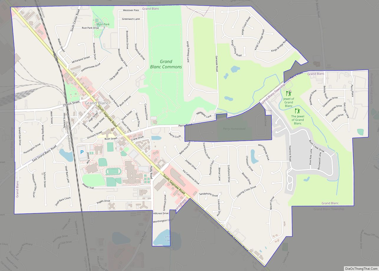
Grand Blanc is a city in Genesee County in the U.S. state of Michigan and a suburb of Flint. The population was 7,784 as of the 2020 US Census. Grand Blanc city overview: Name: Grand Blanc city LSAD Code: 25 LSAD Description: city (suffix) State: Michigan County: Genesee County Incorporated: 1930 Elevation: 837 ft (255 m) Total ... Read more
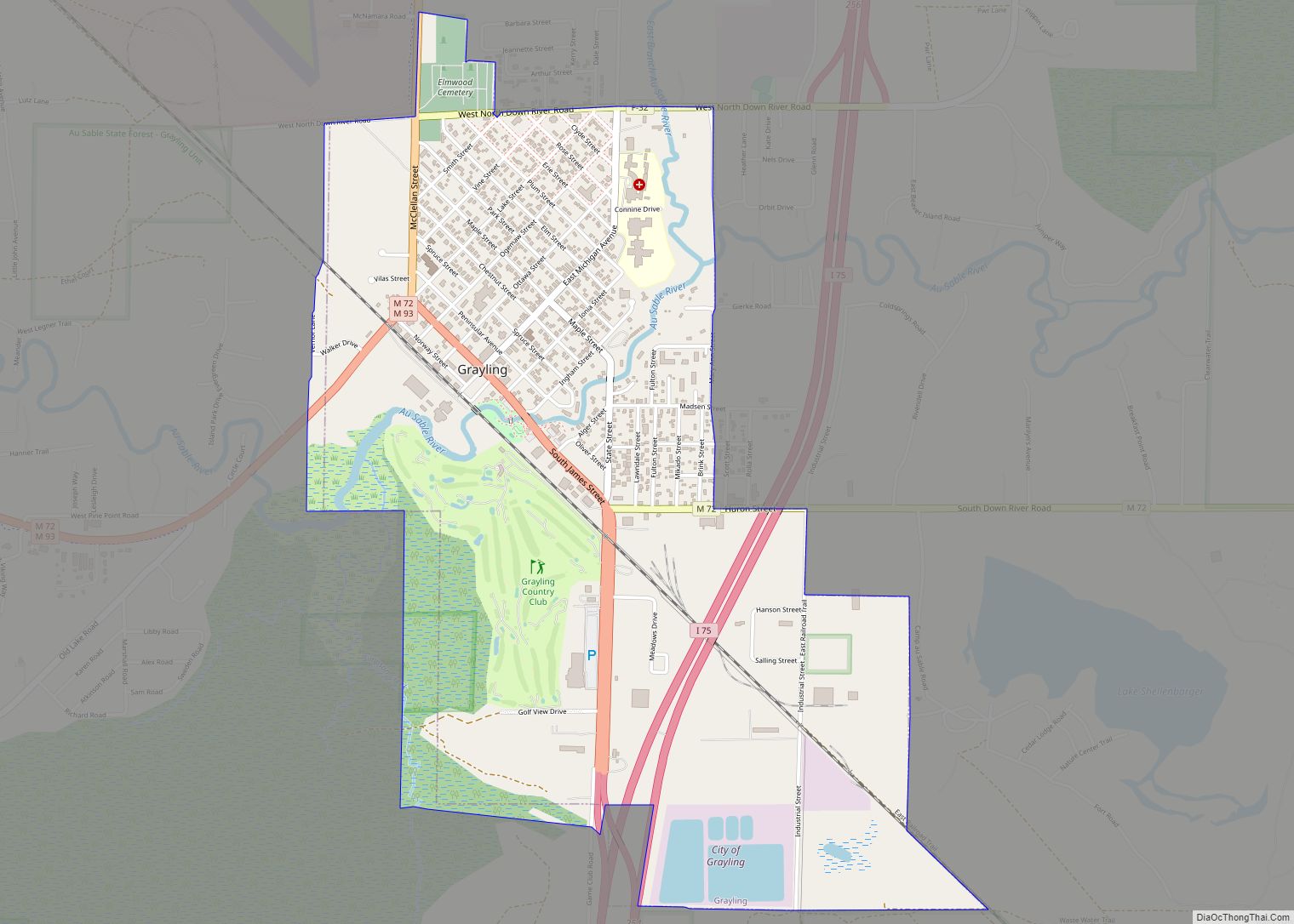
Grayling (/ˈɡreɪlɪŋ/ GRAY-ling) is a city and the county seat of Crawford County in the U.S. state of Michigan. It is the only incorporated community in Crawford County. The population was 1,884 at the 2010 census. The city is surrounded by Grayling Charter Township, but the two are administered autonomously. The city is located in ... Read more
