Grandville is a city in Kent County in the U.S. state of Michigan. The population was 15,378 at the 2010 census.
Grandville is just southwest of the city of Grand Rapids and is part of the Grand Rapids metropolitan area. It was first settled in 1833 and later incorporated as a city in 1933.
| Name: | Grandville city |
|---|---|
| LSAD Code: | 25 |
| LSAD Description: | city (suffix) |
| State: | Michigan |
| County: | Kent County |
| Incorporated: | 1933 |
| Elevation: | 614 ft (187 m) |
| Total Area: | 7.67 sq mi (19.88 km²) |
| Land Area: | 7.25 sq mi (18.77 km²) |
| Water Area: | 0.43 sq mi (1.11 km²) |
| Total Population: | 16,083 |
| Population Density: | 2,219.26/sq mi (856.85/km²) |
| Area code: | 616 |
| FIPS code: | 2634160 |
| GNISfeature ID: | 1626375 |
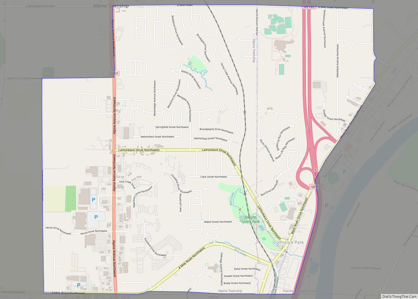
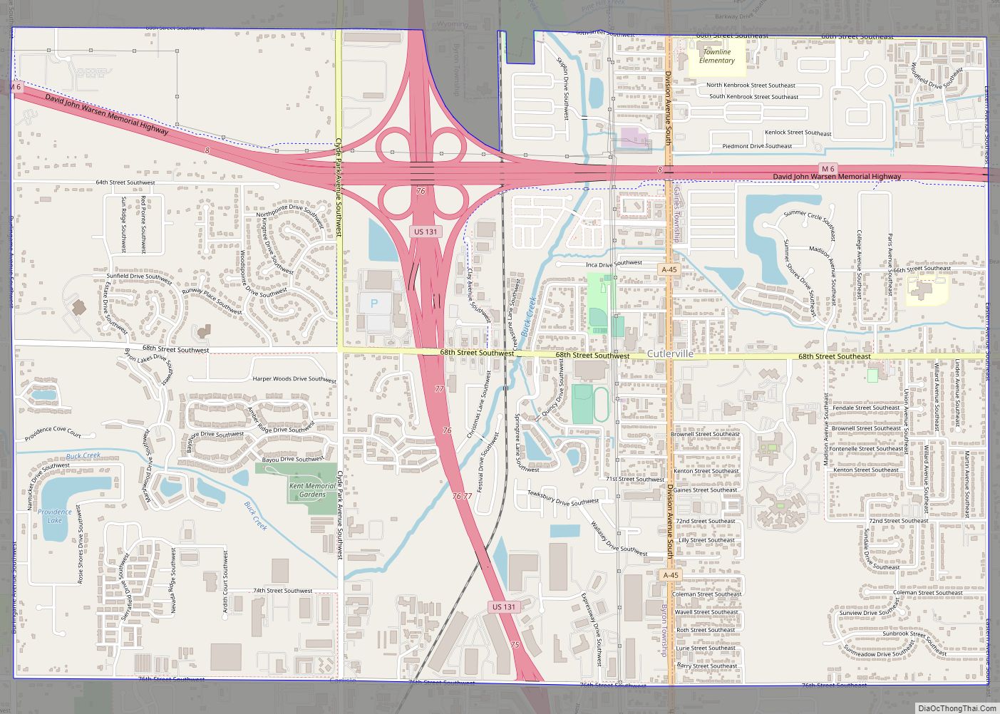
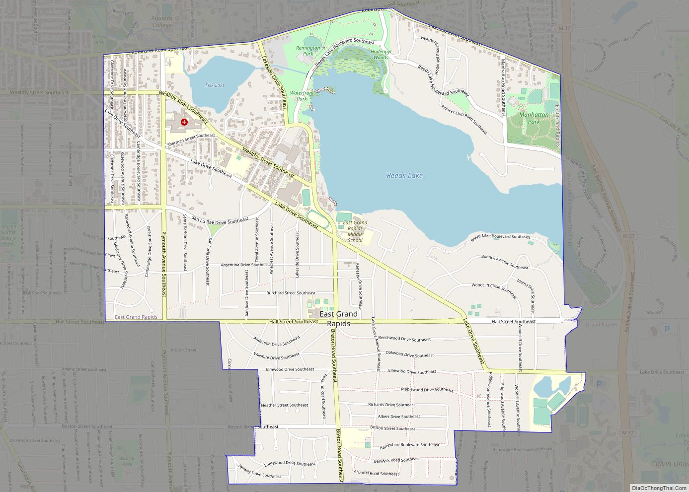
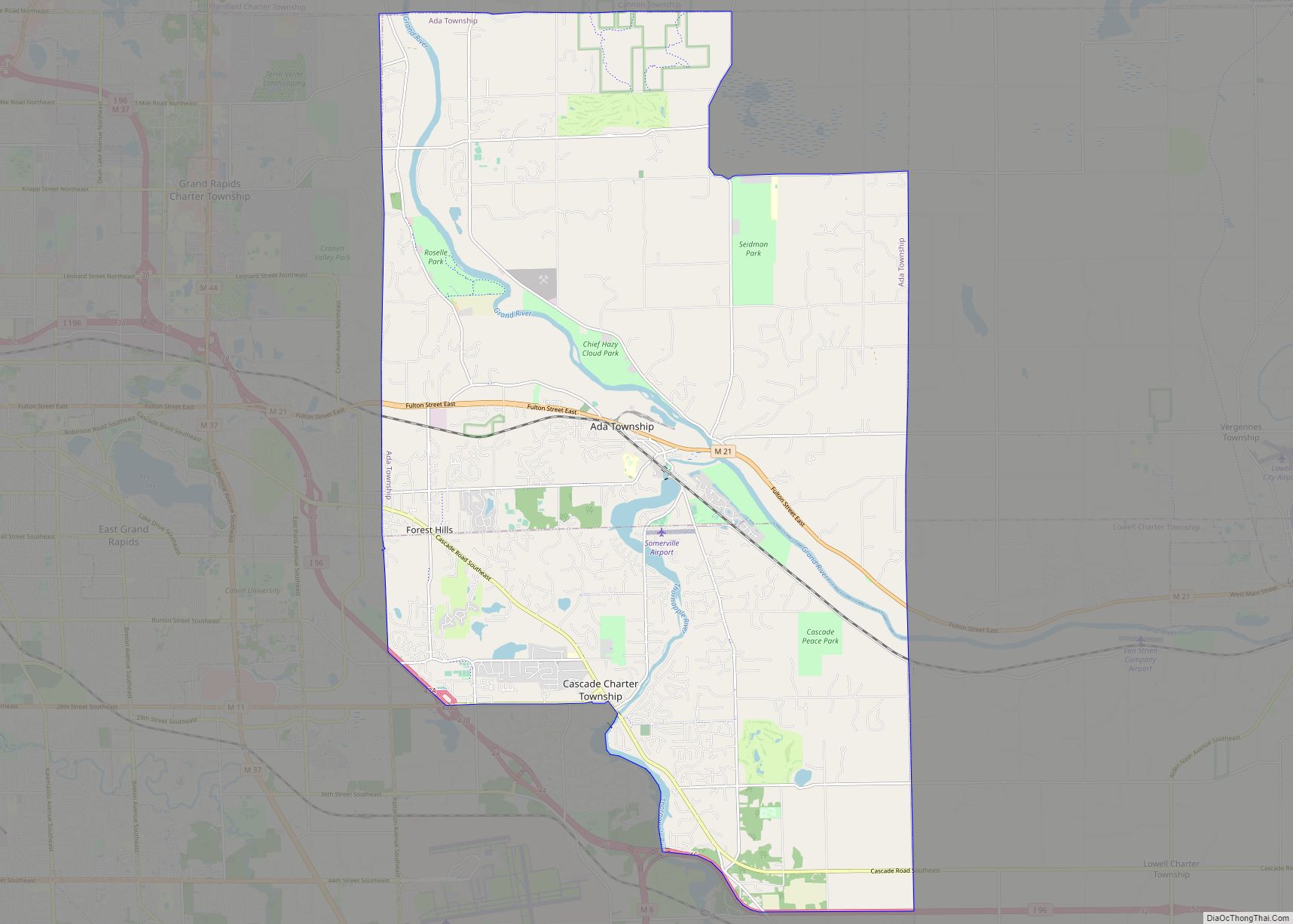
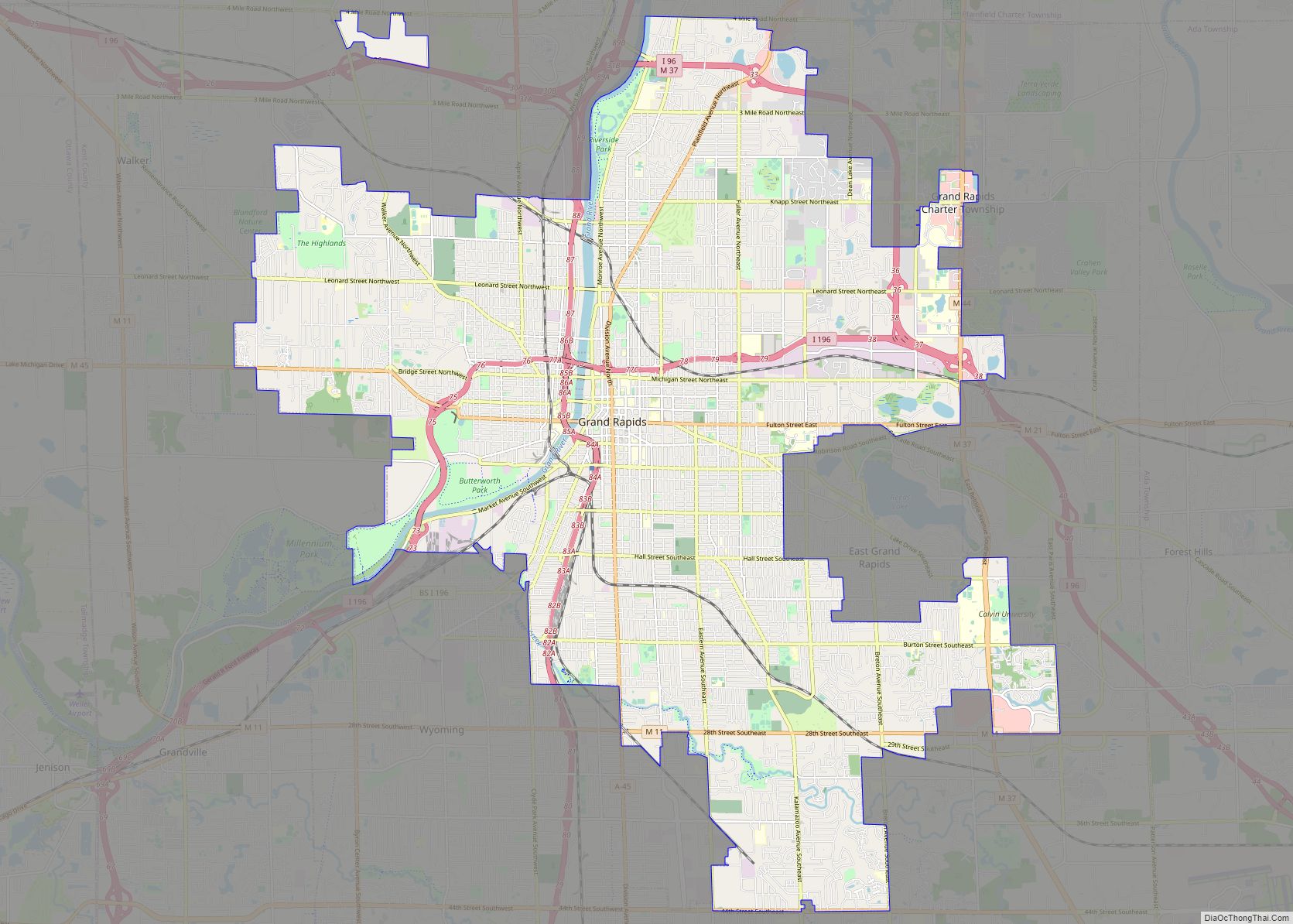
Online Interactive Map
Click on ![]() to view map in "full screen" mode.
to view map in "full screen" mode.
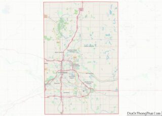
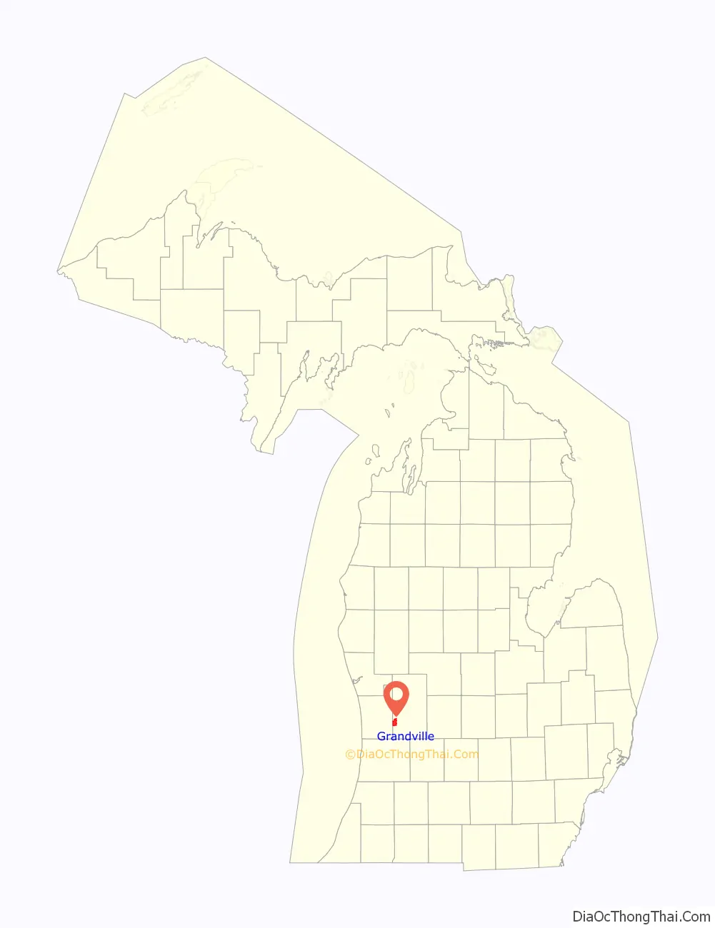
Grandville location map. Where is Grandville city?

History
Settlement
Anishinaabe peoples are indigenous to the Grand Rapids metropolitan area. Grandville was geographically an important place during the logging years in Michigan’s history due to its location at the “river-bend” of the Grand River. It was important to have people there to make sure the logs did not jam up as the river turned north-west toward Grand Haven.
Grandville was founded in 1833 and incorporated as a city in 1933.
Recent history
By the 1980s due to the growth of the Grand Rapids metropolitan area following the early 1980s recession in the United States, Grandville began to experience even more growth. In 1987, color measurement and manufacturer X-Rite established its headquarters in the city a year after it went public, soon becoming one of the fastest growing businesses in Michigan.
In the 1990s, the city was being eyed for larger development. In 1990, developers had begun eyeing a development of a new mall near the intersection of 44th Street and Ivanrest and met with the city for approval. In 1999, construction of RiverTown Crossings, a mall with 1.25 million in storefronts, was finally completed.
Into the 2000s, Grandville experienced continued growth following the opening of Rivertown Crossings. Multiple restaurants and strip malls developed on Rivertown Parkway following the mall’s construction. However, by the beginning of the Great Recession, X-Rite had moved its headquarters nearby to Kentwood in 2007.
A new fire station was constructed across the street from city hall at Prairie and Wilson in 2000 to make way for a new police station and hall of justice in 2003 next to city hall and a Kent District Library on Wilson Avenue.
One of the city’s largest employers is the Rivertown Crossings Mall. In 2013, two stores, Cabela’s and Target, became anchors to a development on the previous Xrite site across from Rivertown Crossings. Following the recession into the 2010s, more development occurred in the city with a Cabela’s and Target anchoring a development on the former X-Rite property in 2013. In 2016, a new apartment development called the Grand Castle that incorporated over 1 million square feet and 400 apartments into its design was constructed.
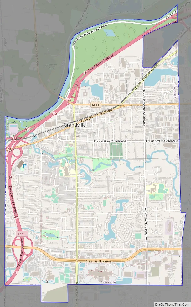
Grandville Road Map
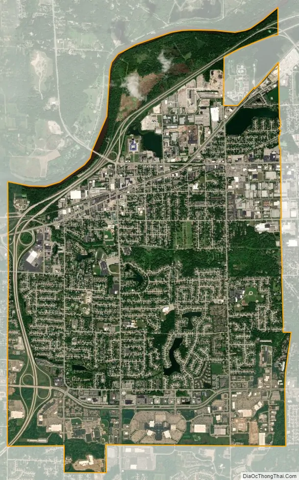
Grandville city Satellite Map
Geography
According to the U.S. Census Bureau, the city has a total area of 7.67 square miles (19.87 km), of which 7.25 square miles (18.78 km) is land and 0.43 square miles (1.11 km) (5.93%) is water.
The Grand River forms the northern border of the city, and the city of Grand Rapids is just to the northeast, while Walker is to the north and Wyoming surrounds the city on the east and south. Ottawa County is to the west.
Major highways
- I-196 (Gerald R. Ford Freeway) run through Grandville near the north and west portions of the city.
- M-11 (28th Street) runs west–east through the northern portion of the city.
- M-121 (Chicago Drive) has its western terminus at I-196 at the western border of the city.
See also
Map of Michigan State and its subdivision:- Alcona
- Alger
- Allegan
- Alpena
- Antrim
- Arenac
- Baraga
- Barry
- Bay
- Benzie
- Berrien
- Branch
- Calhoun
- Cass
- Charlevoix
- Cheboygan
- Chippewa
- Clare
- Clinton
- Crawford
- Delta
- Dickinson
- Eaton
- Emmet
- Genesee
- Gladwin
- Gogebic
- Grand Traverse
- Gratiot
- Hillsdale
- Houghton
- Huron
- Ingham
- Ionia
- Iosco
- Iron
- Isabella
- Jackson
- Kalamazoo
- Kalkaska
- Kent
- Keweenaw
- Lake
- Lake Hurron
- Lake Michigan
- Lake St. Clair
- Lake Superior
- Lapeer
- Leelanau
- Lenawee
- Livingston
- Luce
- Mackinac
- Macomb
- Manistee
- Marquette
- Mason
- Mecosta
- Menominee
- Midland
- Missaukee
- Monroe
- Montcalm
- Montmorency
- Muskegon
- Newaygo
- Oakland
- Oceana
- Ogemaw
- Ontonagon
- Osceola
- Oscoda
- Otsego
- Ottawa
- Presque Isle
- Roscommon
- Saginaw
- Saint Clair
- Saint Joseph
- Sanilac
- Schoolcraft
- Shiawassee
- Tuscola
- Van Buren
- Washtenaw
- Wayne
- Wexford
- Alabama
- Alaska
- Arizona
- Arkansas
- California
- Colorado
- Connecticut
- Delaware
- District of Columbia
- Florida
- Georgia
- Hawaii
- Idaho
- Illinois
- Indiana
- Iowa
- Kansas
- Kentucky
- Louisiana
- Maine
- Maryland
- Massachusetts
- Michigan
- Minnesota
- Mississippi
- Missouri
- Montana
- Nebraska
- Nevada
- New Hampshire
- New Jersey
- New Mexico
- New York
- North Carolina
- North Dakota
- Ohio
- Oklahoma
- Oregon
- Pennsylvania
- Rhode Island
- South Carolina
- South Dakota
- Tennessee
- Texas
- Utah
- Vermont
- Virginia
- Washington
- West Virginia
- Wisconsin
- Wyoming