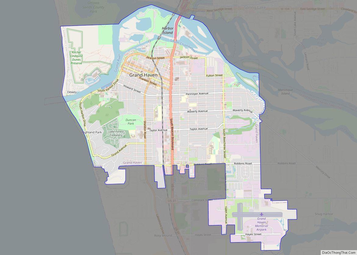
Grand Haven is a city within the U.S. state of Michigan and the county seat of Ottawa County. Grand Haven is located on the eastern shore of Lake Michigan at the mouth of the Grand River, for which it is named. As of the 2010 census, Grand Haven had a population of 10,412. It is part of the Grand Rapids Metropolitan Area, which had a population of 1,027,703 in 2014. The city is home to the Grand Haven Memorial Airpark (3GM) and is located just north of Grand Haven Charter Township.
| Name: | Grand Haven city |
|---|---|
| LSAD Code: | 25 |
| LSAD Description: | city (suffix) |
| State: | Michigan |
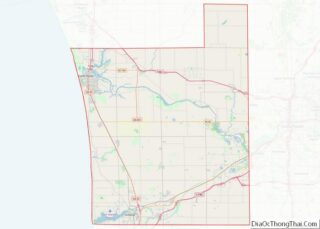
| County: | Ottawa County |
| Founded: | 1834 |
| Incorporated: | 1867 |
| Elevation: | 662 ft (202 m) |
| Total Area: | 6.25 sq mi (16.19 km²) |
| Land Area: | 5.72 sq mi (14.83 km²) |
| Water Area: | 0.53 sq mi (1.37 km²) |
| Total Population: | 11,011 |
| Population Density: | 1,923.65/sq mi (742.70/km²) |
| ZIP code: | 49417 |
| Area code: | 616 |
| FIPS code: | 2633340 |
| GNISfeature ID: | 0627084 |
| Website: | http://www.grandhaven.org |
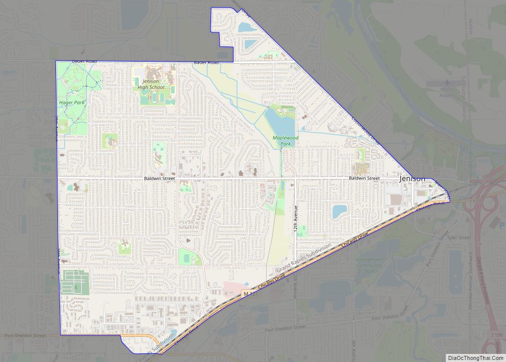
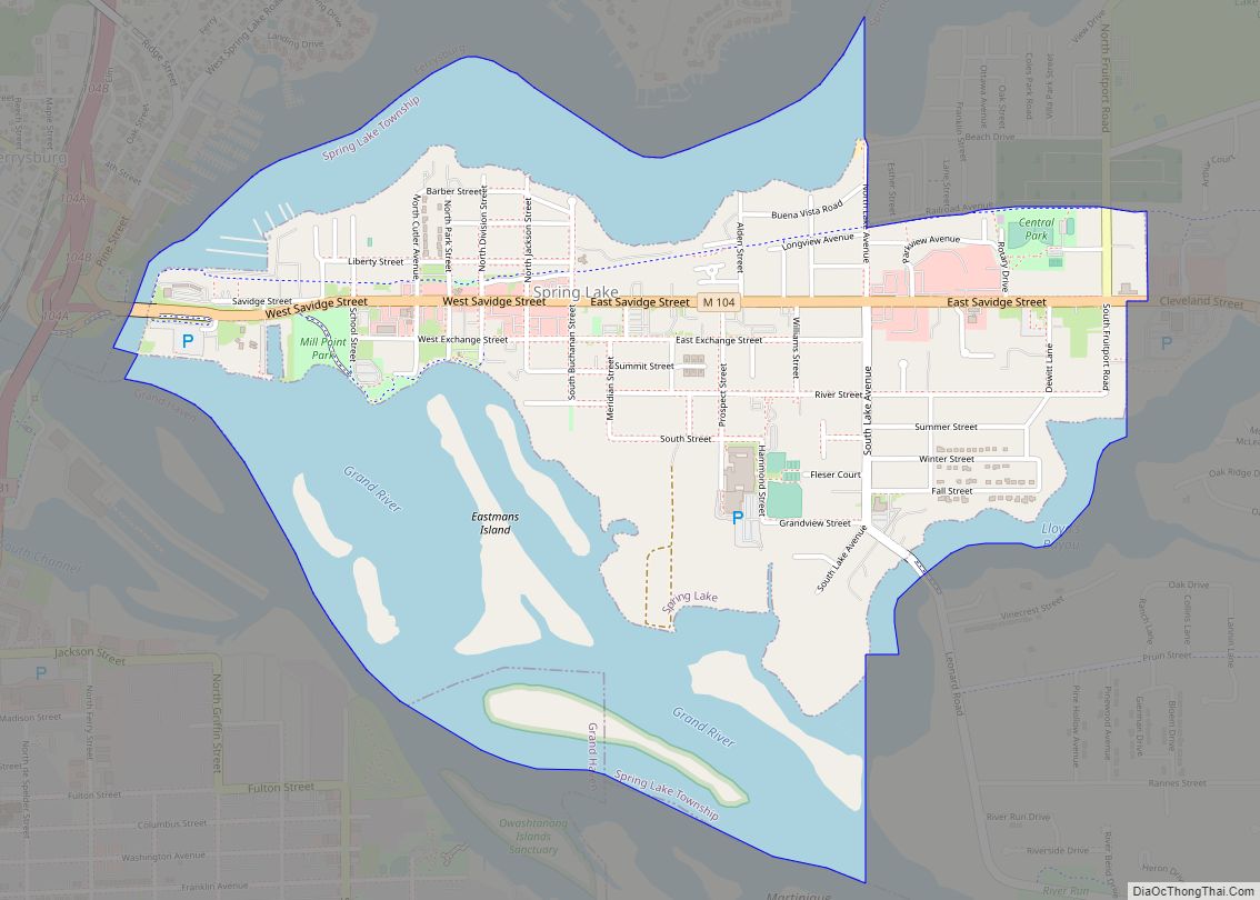
Online Interactive Map
Click on ![]() to view map in "full screen" mode.
to view map in "full screen" mode.
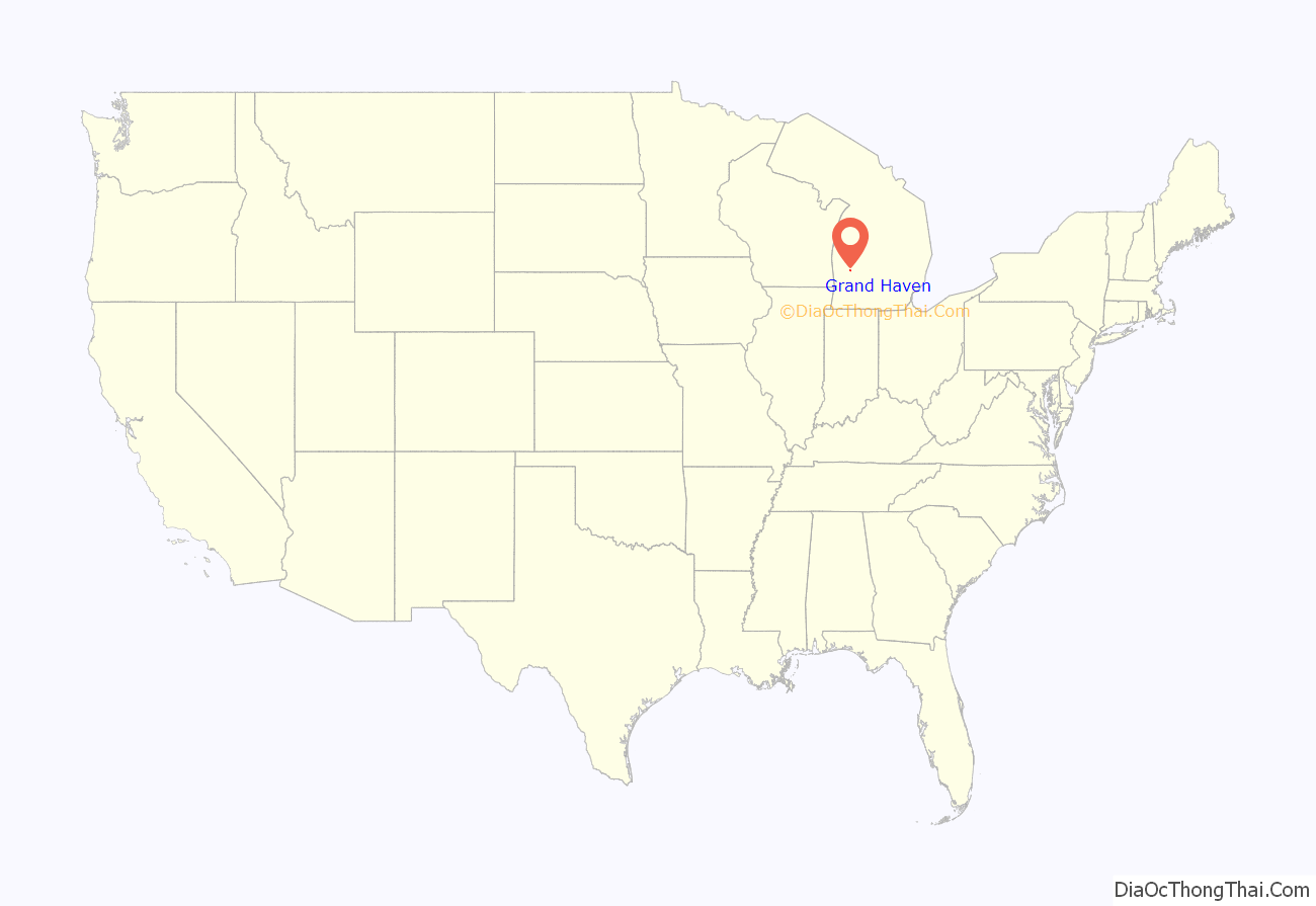
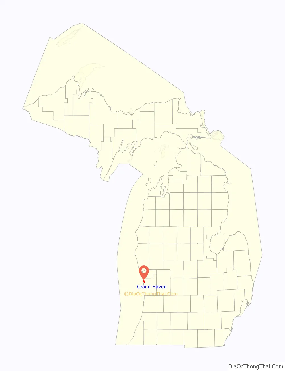
Grand Haven location map. Where is Grand Haven city?
History
The Potawatomi and Ottawa Native Americans lived in the area for centuries and used the river as a trade route into the interior of Michigan. Some of the long cultures of the Ottawa tribe is being revealed through the excavation of archeological artifacts.
The city dates its European-American founding to French colonial settlers. A fur trading outpost called Gabagouache was first established by Madeline La Framboise and her husband Joseph.
After the War of 1812, this area became more settled by Americans. A trading post was established here about 1821 by the American Fur Company, but the first permanent resident was a Presbyterian minister, William Montague Ferry, who founded in 1834 the first area church. Residents named the town as “Grand Haven” in 1835. Sheldon Tannery was founded in 1838, developing to process leathers from the fur trade and cattle. The second church was organized in 1850. Ferry founded the city’s first bank in 1851 in the Ferry & Son building on Harbor Drive. He also started a school, Ferry Elementary, which continues to operate. The city was incorporated in 1867.
In the mid-to-late 19th century, Grand Haven developed as a logging, lumber mill, and shipping town, as well as a shipbuilding center.
The city was served by the Grand Trunk Railway, which ran along the waterfront near the river. Its depot and offices have been adapted for use as a historical museum. The Story and Clark Piano Company built pianos in the city from 1900 to 1984. The smokestack at the piano factory collapsed during the Southern Great Lakes Derecho of 1998. In August 2006, Eagle-Ottawa Leather Co., which developed from the 1838 Sheldon Tannery, announced it would close its local operations that year.
Given the importance of shipping and water trade to the city, the Grand Haven Lighthouses were built in 1839 on the south pier, to mark the most navigable channel into the river. The current lighthouses, painted red, were built in 1875 (outer light) and 1905 (inner). They are connected by a lighted catwalk, which runs along the pier to the shore.
George “Baby Face” Nelson and Homer Van Meter, who became notorious 1930s criminals, committed their first bank robbery at a Grand Haven bank. Nelson teamed up with Eddie Bentz to rob the People’s Saving Bank on the corner of 3rd St. and Washington Ave. Bullet holes can still be found in some of the neighboring brick buildings.
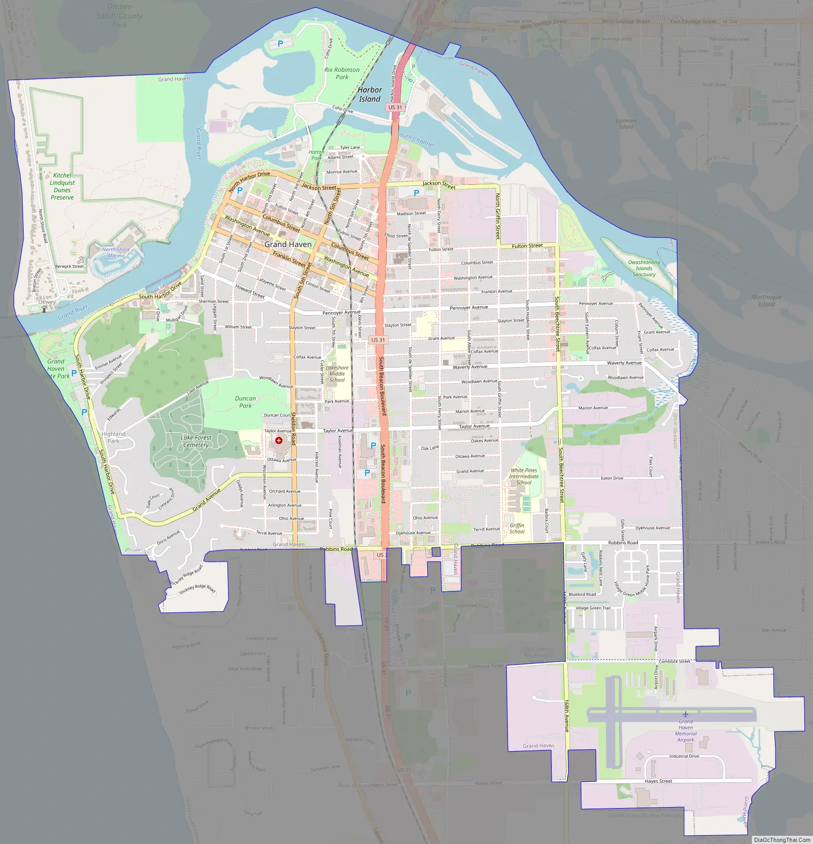
Grand Haven Road Map
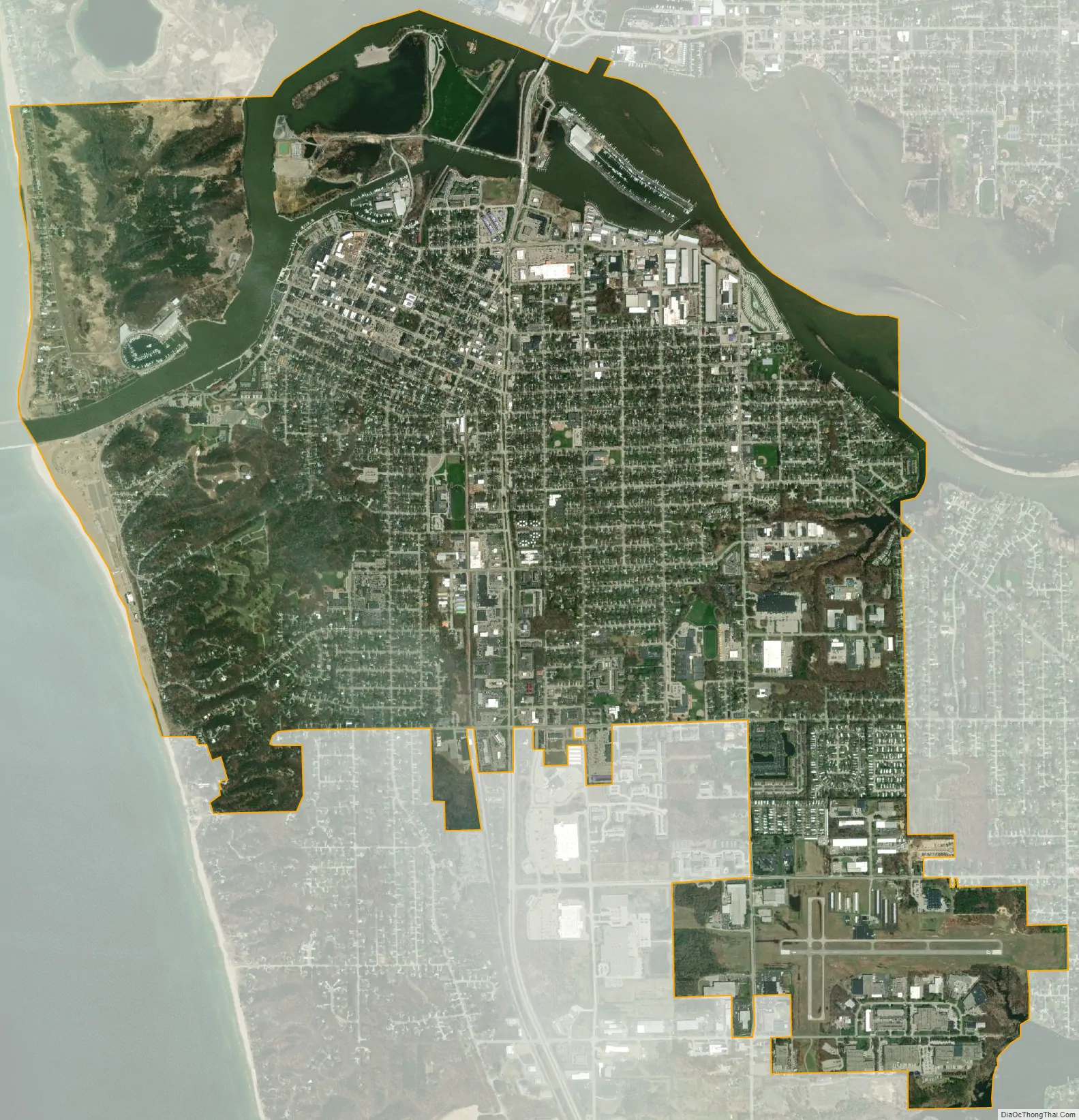
Grand Haven city Satellite Map
Geography
According to the United States Census Bureau, the city has a total area of 7.36 square miles (19.06 km), of which 5.77 square miles (14.94 km) is land and 1.59 square miles (4.12 km) is water.
See also
Map of Michigan State and its subdivision:- Alcona
- Alger
- Allegan
- Alpena
- Antrim
- Arenac
- Baraga
- Barry
- Bay
- Benzie
- Berrien
- Branch
- Calhoun
- Cass
- Charlevoix
- Cheboygan
- Chippewa
- Clare
- Clinton
- Crawford
- Delta
- Dickinson
- Eaton
- Emmet
- Genesee
- Gladwin
- Gogebic
- Grand Traverse
- Gratiot
- Hillsdale
- Houghton
- Huron
- Ingham
- Ionia
- Iosco
- Iron
- Isabella
- Jackson
- Kalamazoo
- Kalkaska
- Kent
- Keweenaw
- Lake
- Lake Hurron
- Lake Michigan
- Lake St. Clair
- Lake Superior
- Lapeer
- Leelanau
- Lenawee
- Livingston
- Luce
- Mackinac
- Macomb
- Manistee
- Marquette
- Mason
- Mecosta
- Menominee
- Midland
- Missaukee
- Monroe
- Montcalm
- Montmorency
- Muskegon
- Newaygo
- Oakland
- Oceana
- Ogemaw
- Ontonagon
- Osceola
- Oscoda
- Otsego
- Ottawa
- Presque Isle
- Roscommon
- Saginaw
- Saint Clair
- Saint Joseph
- Sanilac
- Schoolcraft
- Shiawassee
- Tuscola
- Van Buren
- Washtenaw
- Wayne
- Wexford
- Alabama
- Alaska
- Arizona
- Arkansas
- California
- Colorado
- Connecticut
- Delaware
- District of Columbia
- Florida
- Georgia
- Hawaii
- Idaho
- Illinois
- Indiana
- Iowa
- Kansas
- Kentucky
- Louisiana
- Maine
- Maryland
- Massachusetts
- Michigan
- Minnesota
- Mississippi
- Missouri
- Montana
- Nebraska
- Nevada
- New Hampshire
- New Jersey
- New Mexico
- New York
- North Carolina
- North Dakota
- Ohio
- Oklahoma
- Oregon
- Pennsylvania
- Rhode Island
- South Carolina
- South Dakota
- Tennessee
- Texas
- Utah
- Vermont
- Virginia
- Washington
- West Virginia
- Wisconsin
- Wyoming