Grant is a city in Newaygo County in the U.S. state of Michigan. The population was 952 at the 2020 census. The city is adjacent to Grant Township and Ashland Township. It is a part of the Grand Rapids-Muskegon-Holland, Michigan combined statistical area.
| Name: | Grant city |
|---|---|
| LSAD Code: | 25 |
| LSAD Description: | city (suffix) |
| State: | Michigan |
| County: | Newaygo County |
| Elevation: | 833 ft (255 m) |
| Total Area: | 0.69 sq mi (1.77 km²) |
| Land Area: | 0.67 sq mi (1.72 km²) |
| Water Area: | 0.02 sq mi (0.05 km²) |
| Total Population: | 952 |
| Population Density: | 1,431.58/sq mi (552.51/km²) |
| ZIP code: | 49327 |
| Area code: | 231 |
| FIPS code: | 2634360 |
| GNISfeature ID: | 0627144 |
| Website: | www.cityofgrantmi.com |
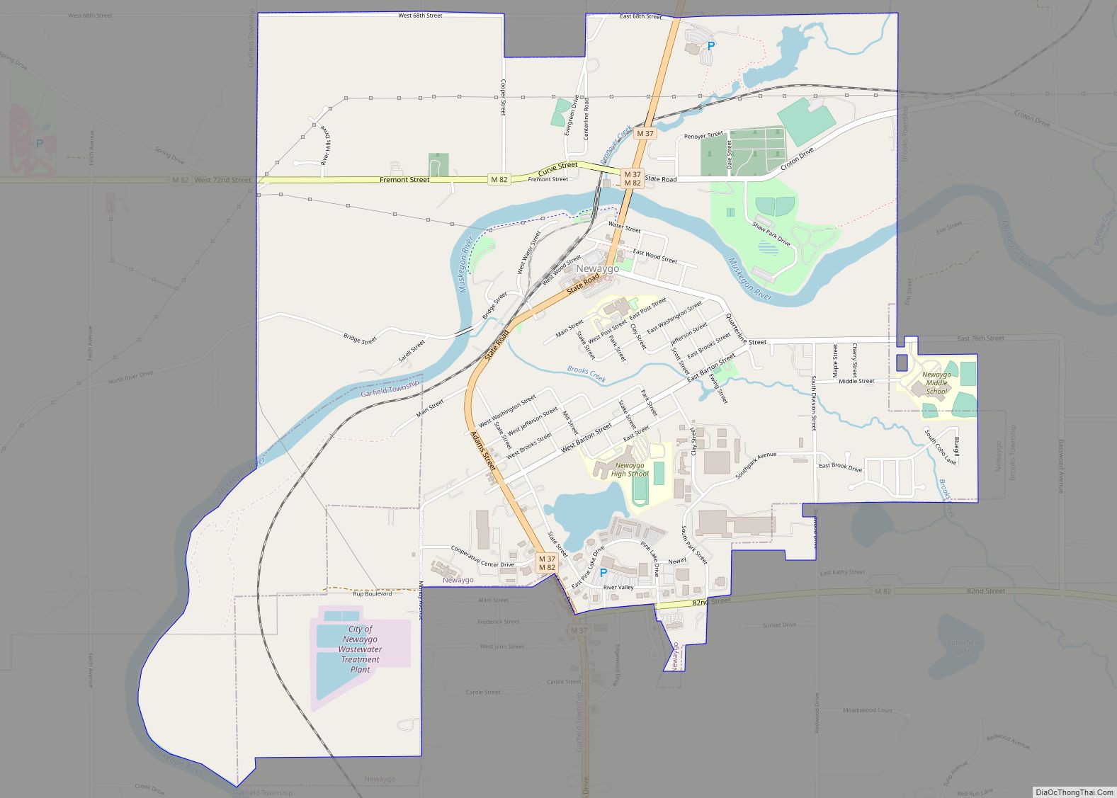
Online Interactive Map
Click on ![]() to view map in "full screen" mode.
to view map in "full screen" mode.
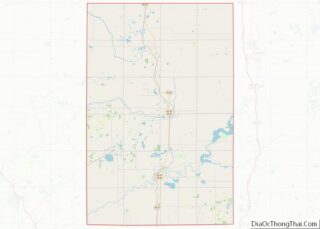
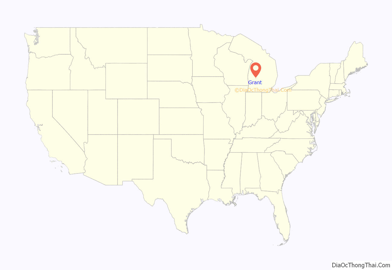
Grant location map. Where is Grant city?

History
The history of Grant started in 1882 when Andrew J. Squier built the first saw mill. Soon, a railroad station was built on the Chicago and Western Michigan Railroad. Squier named the station, Grant Station, after President and Civil War General Ulysses S. Grant. The community was also called Grant Center due to its location in the township.
On May 14, 1892, a post office was opened here as Grant Station. Grant Center was incorporated in 1893 as the village of Grant. The post office name was shortened to Grant in 1899.
At the sawmills’ peak production in the lumber-era, a million feet of lumber was shipped per year. The village of Grant was reincorporated as a city in 1969.
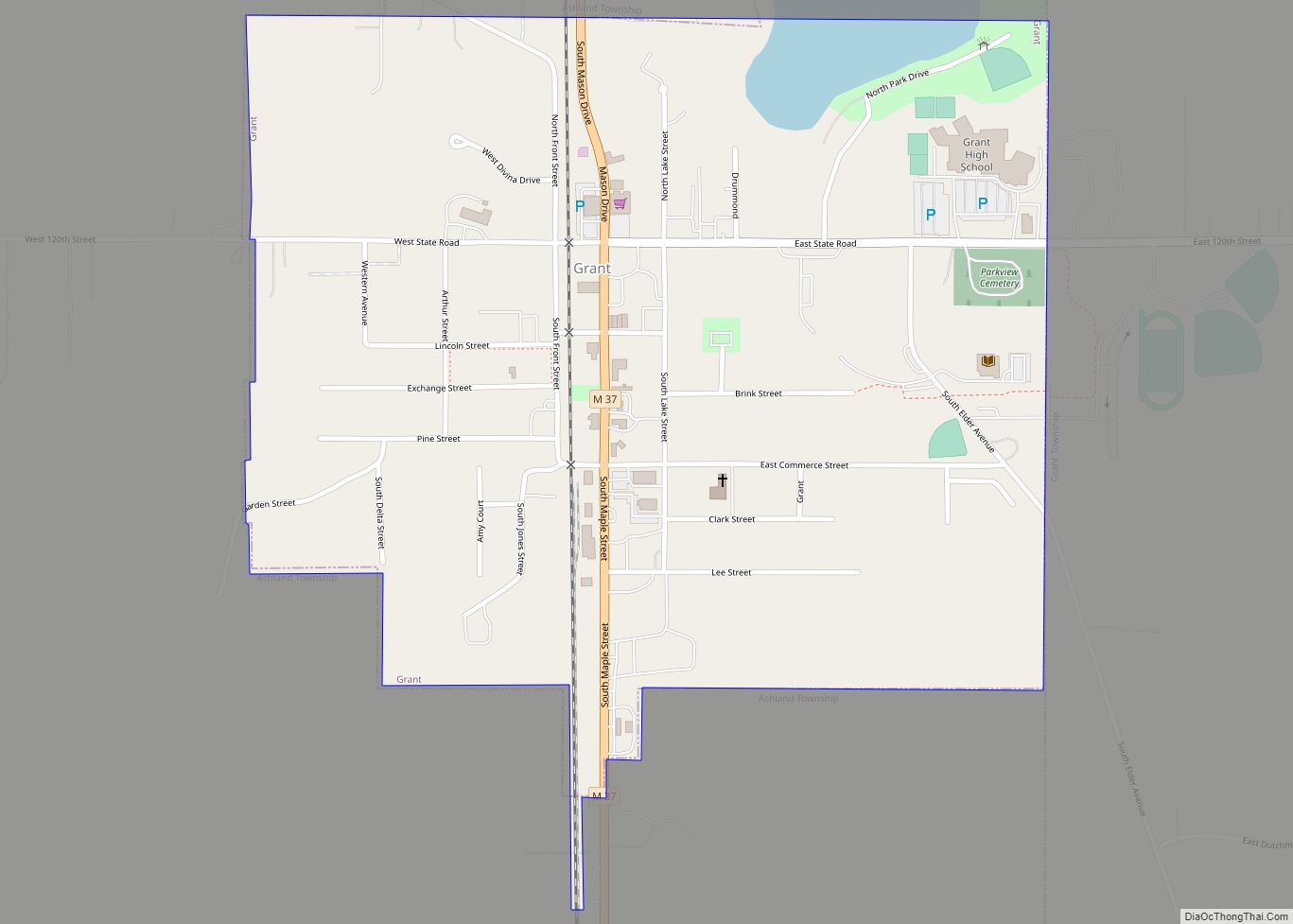
Grant Road Map

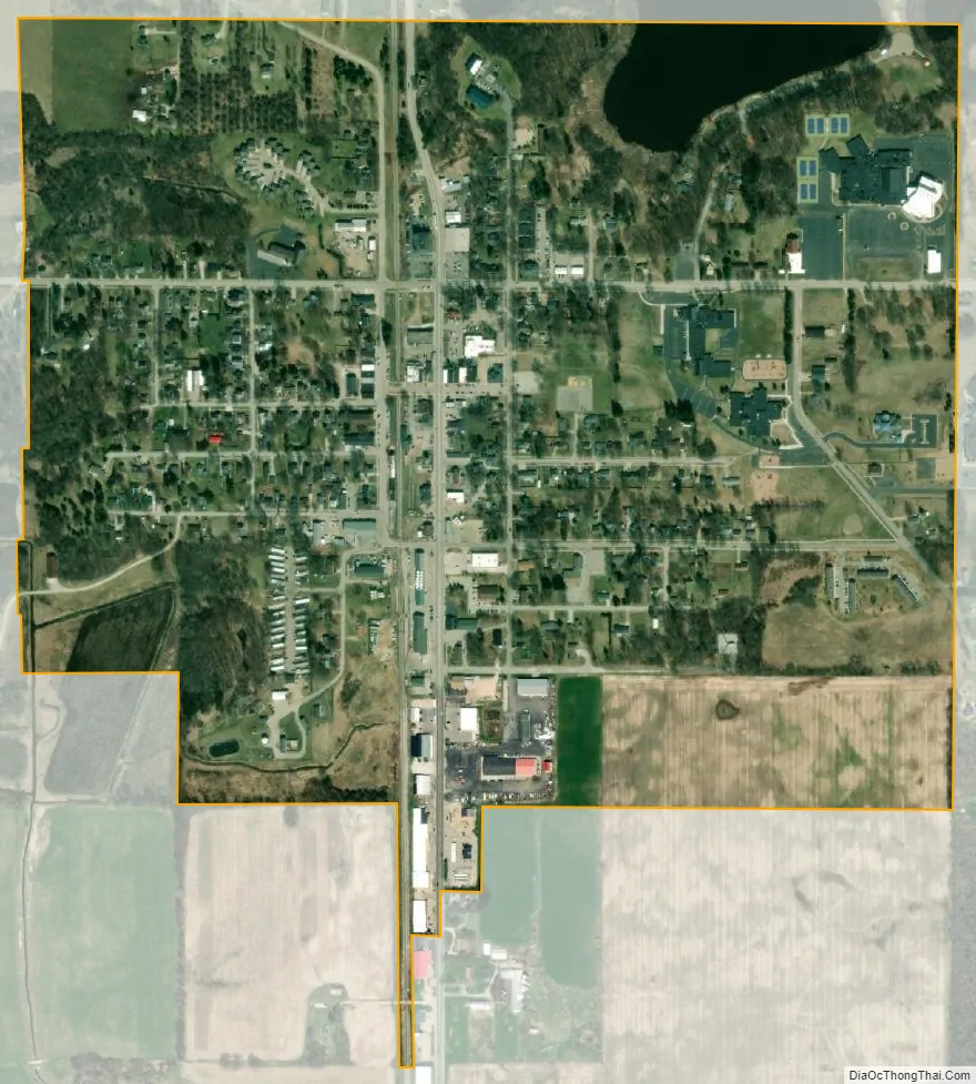
Grant city Satellite Map
Geography
According to the United States Census Bureau, the city has a total area of 0.67 square miles (1.74 km), of which 0.65 square miles (1.68 km) is land and 0.02 square miles (0.05 km) is water.
See also
Map of Michigan State and its subdivision:- Alcona
- Alger
- Allegan
- Alpena
- Antrim
- Arenac
- Baraga
- Barry
- Bay
- Benzie
- Berrien
- Branch
- Calhoun
- Cass
- Charlevoix
- Cheboygan
- Chippewa
- Clare
- Clinton
- Crawford
- Delta
- Dickinson
- Eaton
- Emmet
- Genesee
- Gladwin
- Gogebic
- Grand Traverse
- Gratiot
- Hillsdale
- Houghton
- Huron
- Ingham
- Ionia
- Iosco
- Iron
- Isabella
- Jackson
- Kalamazoo
- Kalkaska
- Kent
- Keweenaw
- Lake
- Lake Hurron
- Lake Michigan
- Lake St. Clair
- Lake Superior
- Lapeer
- Leelanau
- Lenawee
- Livingston
- Luce
- Mackinac
- Macomb
- Manistee
- Marquette
- Mason
- Mecosta
- Menominee
- Midland
- Missaukee
- Monroe
- Montcalm
- Montmorency
- Muskegon
- Newaygo
- Oakland
- Oceana
- Ogemaw
- Ontonagon
- Osceola
- Oscoda
- Otsego
- Ottawa
- Presque Isle
- Roscommon
- Saginaw
- Saint Clair
- Saint Joseph
- Sanilac
- Schoolcraft
- Shiawassee
- Tuscola
- Van Buren
- Washtenaw
- Wayne
- Wexford
- Alabama
- Alaska
- Arizona
- Arkansas
- California
- Colorado
- Connecticut
- Delaware
- District of Columbia
- Florida
- Georgia
- Hawaii
- Idaho
- Illinois
- Indiana
- Iowa
- Kansas
- Kentucky
- Louisiana
- Maine
- Maryland
- Massachusetts
- Michigan
- Minnesota
- Mississippi
- Missouri
- Montana
- Nebraska
- Nevada
- New Hampshire
- New Jersey
- New Mexico
- New York
- North Carolina
- North Dakota
- Ohio
- Oklahoma
- Oregon
- Pennsylvania
- Rhode Island
- South Carolina
- South Dakota
- Tennessee
- Texas
- Utah
- Vermont
- Virginia
- Washington
- West Virginia
- Wisconsin
- Wyoming