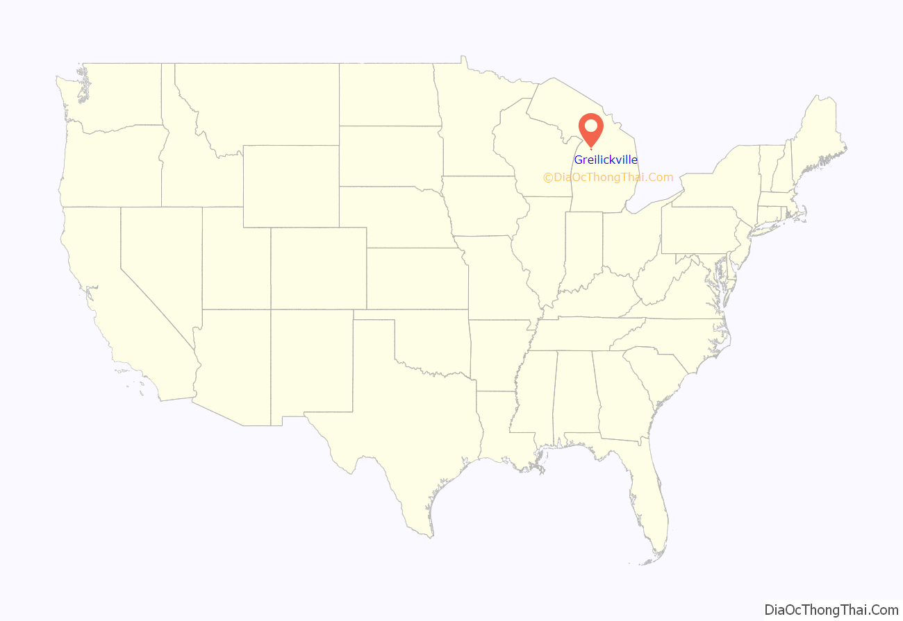
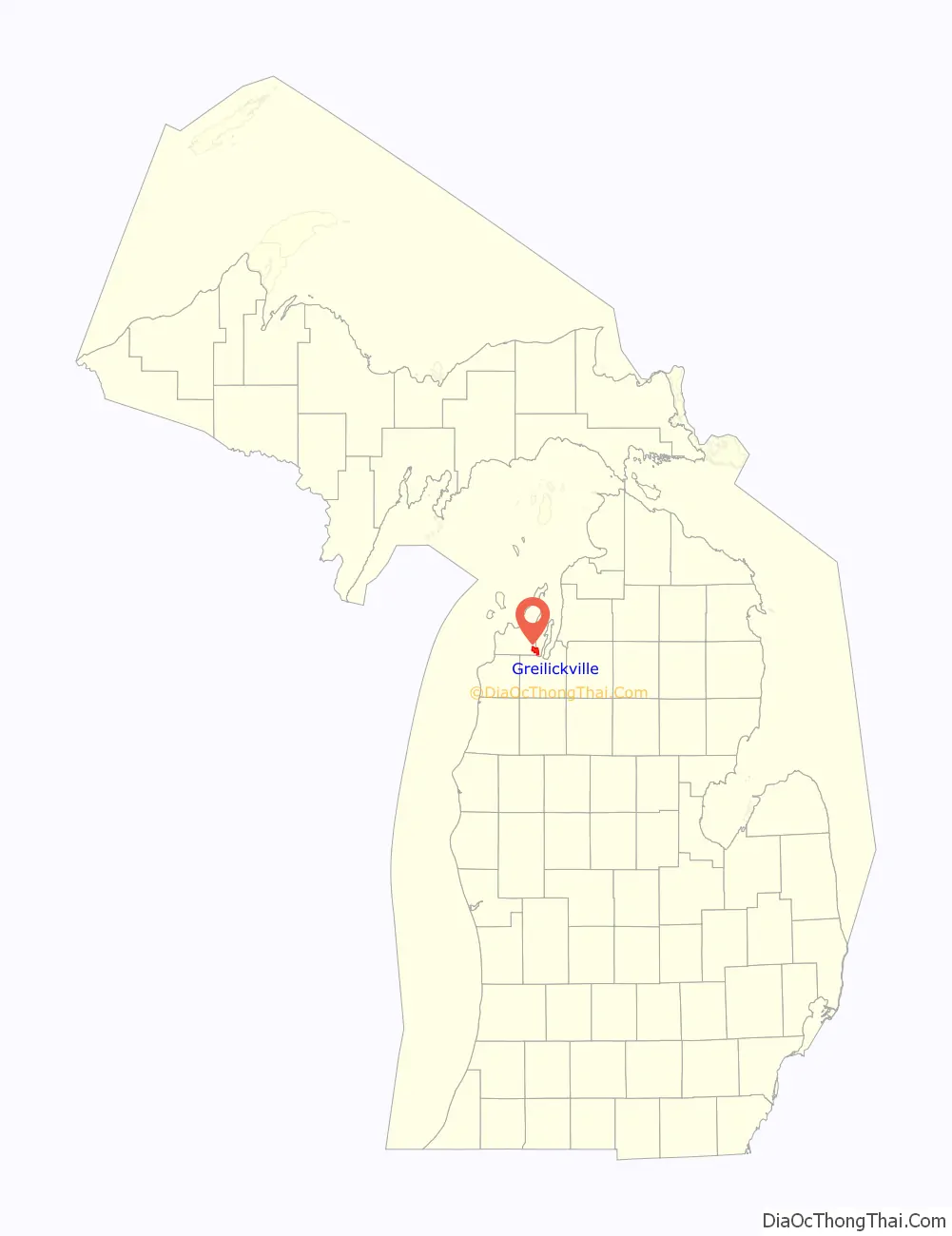
Greilickville (/ˈɡraɪlɪkvɪl/ GRY-lik-vil) is an unincorporated community and census-designated place (CDP) in Leelanau County in the U.S. state of Michigan. At the 2020 census, the population was 1,634, up from 1,530 at the 2010 census. The community is located within Elmwood Charter Township, and is located in the extreme southeast of the Leelanau Peninsula.
The community is located on the western shore of the West Arm of Grand Traverse Bay, a bay of Lake Michigan. Greilickville is immediately northwest of Traverse City, and is part of that city’s urban area. Greilickville is the largest community in Leelanau County by population.
| Name: | Greilickville CDP |
|---|---|
| LSAD Code: | 57 |
| LSAD Description: | CDP (suffix) |
| State: | Michigan |
| County: | Leelanau County |
| Elevation: | 584 ft (178 m) |
| Total Area: | 7.19 sq mi (18.61 km²) |
| Land Area: | 4.59 sq mi (11.90 km²) |
| Water Area: | 2.59 sq mi (6.72 km²) |
| Total Population: | 1,634 |
| Population Density: | 355.76/sq mi (137.35/km²) |
| ZIP code: | 49684 (Traverse City) |
| Area code: | 231 |
| FIPS code: | 2635300 |
| GNISfeature ID: | 627411 |
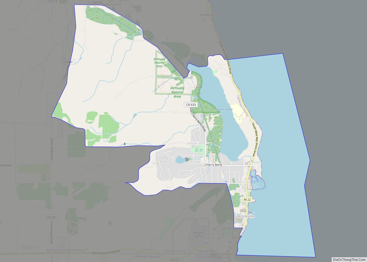
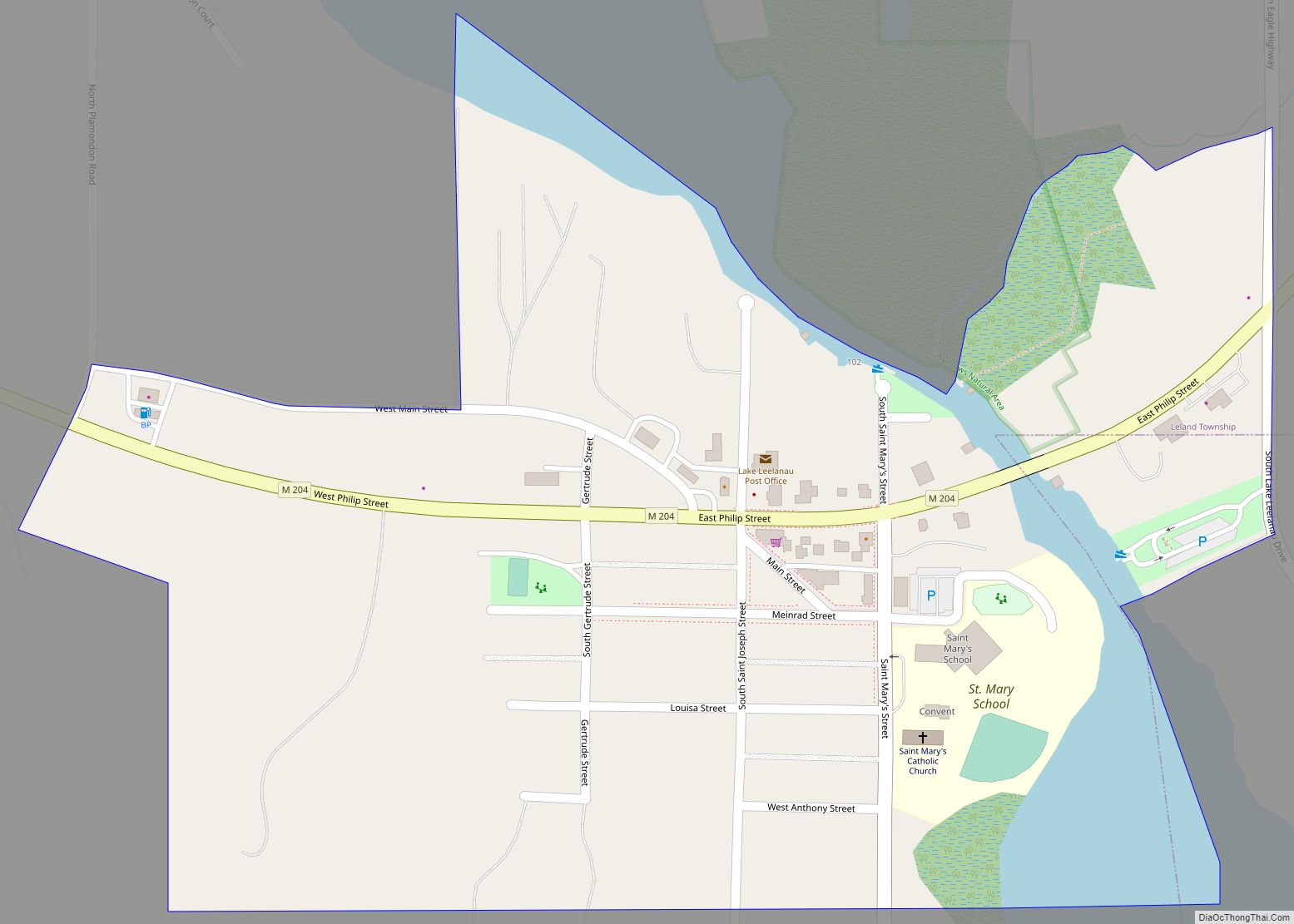
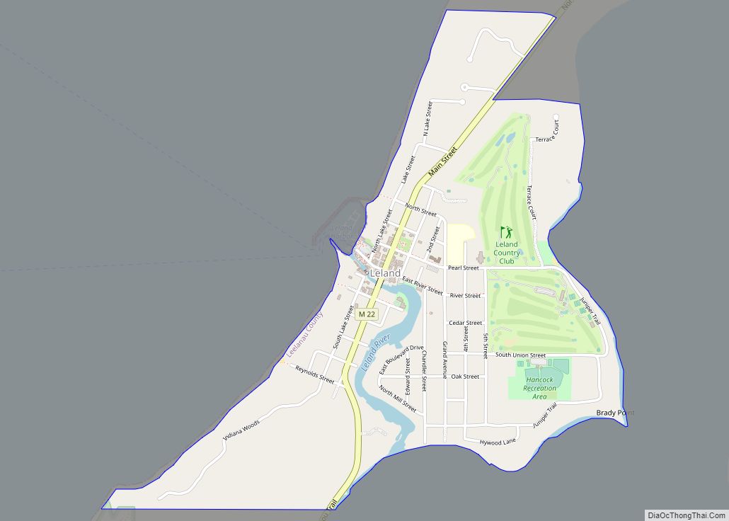
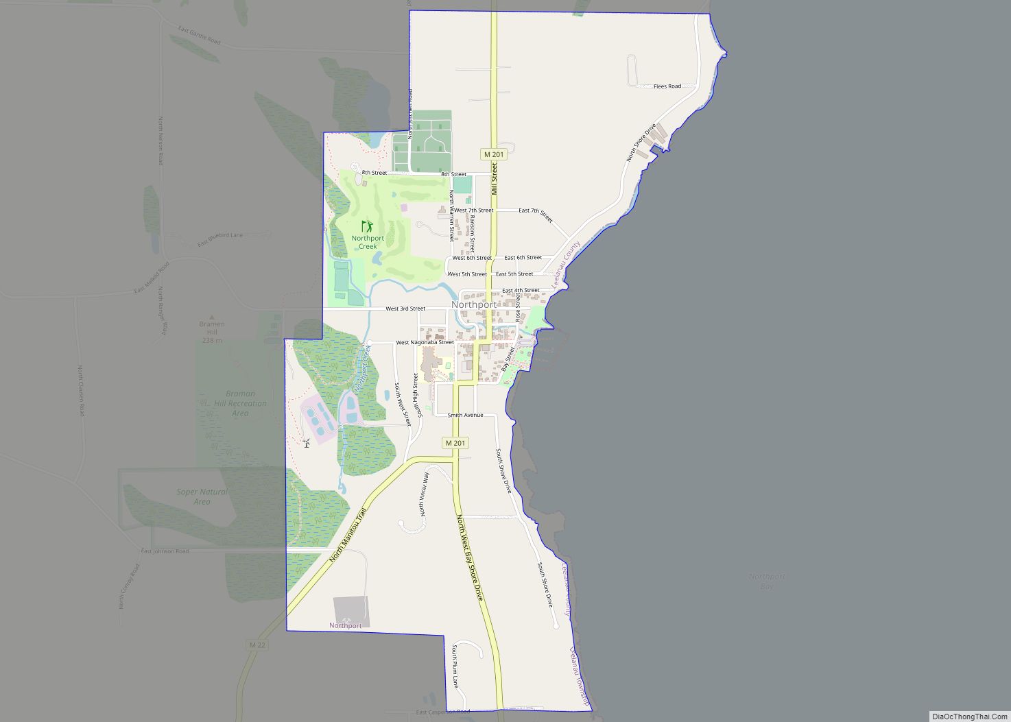
Online Interactive Map
Click on ![]() to view map in "full screen" mode.
to view map in "full screen" mode.
Greilickville location map. Where is Greilickville CDP?
History
The Greilickville area was settled by Godfrey Greilick and his family in 1856, recently emigrating from Bohemia. Greilick operated a number of sawmills in southeast Leelanau County. In 1875, brothers Albert and Seth H. Norris established a settlement on the shore of Grand Traverse Bay consisting of a grist mill, tannery, brickyard, and pottery factory, as well as a post office with the name Norrisville. The post office lasted from September of 1881 to June of 1882, and again from May of 1884 to July of 1902. In 1874, James W. Markham purchased the Norris’ brickyard, expanding it and establishing commercial service. Markham Bricks, renowned for their pale yellow color derived from sediments in Cedar Lake, was supplied to build much of nearby Traverse City and the Traverse City State Hospital.
In 1893, an extension of the Manistee and North-Eastern Railroad was opened through the community, with a station named Greilickville, in honor of Godfrey Greilick. The community later took on the name. In the early 20th century, Greilickville transitioned to a tourism-based economy, and established itself as a convenient location for tall ships to drop off tourists to the region.
In 1961, when Greilickville’s population was about 900, a special election was held in sections 28 and 33 of Elmwood Township, including Greilickville, to decide a proposal regarding making those areas a home-rule village called Elmwood. The proposal was defeated by a vote of 238 to 88.
In 1995, the Leelanau Trail, a public rail trail, opened on the right-of-way of the former Manistee and North-Eastern Railroad.
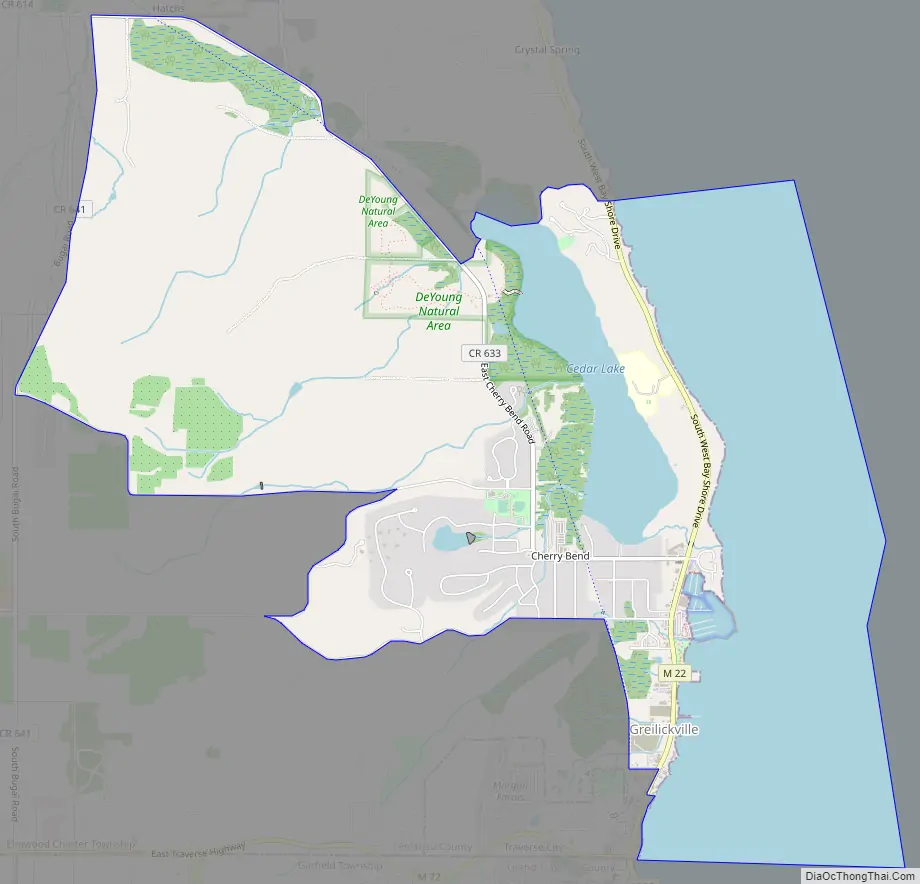
Greilickville Road Map
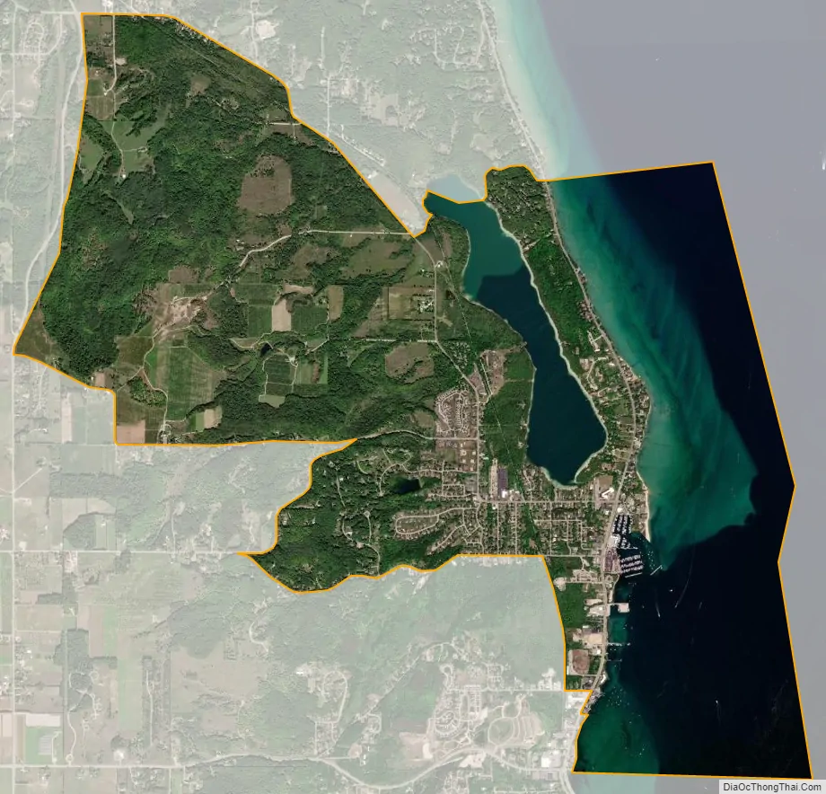
Greilickville city Satellite Map
Geography
Greilickville is in the southeastern corner of Leelanau County and of Elmwood Charter Township. It is bordered to the south by Traverse City in Grand Traverse County and to the east by the West Arm of Grand Traverse Bay, part of Lake Michigan. The CDP extends north to the north end of Cedar Lake and west to Bugai Road. Michigan highway M-22 runs through the east side of Greilickville along the shore of Grand Traverse Bay, leading south into Traverse City and north 14 miles (23 km) to Suttons Bay.
According to the United States Census Bureau, the Greilickville CDP has a total area of 7.1 square miles (18.4 km), of which 4.5 square miles (11.7 km) are land and 2.6 square miles (6.7 km), or 36.47%, are water.
Major highway
- M-22 is a north–south route that parallels the shore of Grand Traverse Bay. The route is popular among tourists, and can be used to access Traverse City, to the south, and Suttons Bay and Northport to the north. South of Greilickville, M-22 reaches junctions with US 31, M-37, and M-72.
See also
Map of Michigan State and its subdivision:- Alcona
- Alger
- Allegan
- Alpena
- Antrim
- Arenac
- Baraga
- Barry
- Bay
- Benzie
- Berrien
- Branch
- Calhoun
- Cass
- Charlevoix
- Cheboygan
- Chippewa
- Clare
- Clinton
- Crawford
- Delta
- Dickinson
- Eaton
- Emmet
- Genesee
- Gladwin
- Gogebic
- Grand Traverse
- Gratiot
- Hillsdale
- Houghton
- Huron
- Ingham
- Ionia
- Iosco
- Iron
- Isabella
- Jackson
- Kalamazoo
- Kalkaska
- Kent
- Keweenaw
- Lake
- Lake Hurron
- Lake Michigan
- Lake St. Clair
- Lake Superior
- Lapeer
- Leelanau
- Lenawee
- Livingston
- Luce
- Mackinac
- Macomb
- Manistee
- Marquette
- Mason
- Mecosta
- Menominee
- Midland
- Missaukee
- Monroe
- Montcalm
- Montmorency
- Muskegon
- Newaygo
- Oakland
- Oceana
- Ogemaw
- Ontonagon
- Osceola
- Oscoda
- Otsego
- Ottawa
- Presque Isle
- Roscommon
- Saginaw
- Saint Clair
- Saint Joseph
- Sanilac
- Schoolcraft
- Shiawassee
- Tuscola
- Van Buren
- Washtenaw
- Wayne
- Wexford
- Alabama
- Alaska
- Arizona
- Arkansas
- California
- Colorado
- Connecticut
- Delaware
- District of Columbia
- Florida
- Georgia
- Hawaii
- Idaho
- Illinois
- Indiana
- Iowa
- Kansas
- Kentucky
- Louisiana
- Maine
- Maryland
- Massachusetts
- Michigan
- Minnesota
- Mississippi
- Missouri
- Montana
- Nebraska
- Nevada
- New Hampshire
- New Jersey
- New Mexico
- New York
- North Carolina
- North Dakota
- Ohio
- Oklahoma
- Oregon
- Pennsylvania
- Rhode Island
- South Carolina
- South Dakota
- Tennessee
- Texas
- Utah
- Vermont
- Virginia
- Washington
- West Virginia
- Wisconsin
- Wyoming