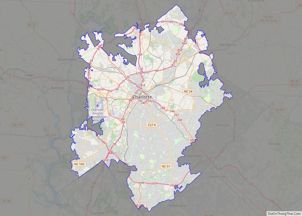
Charlotte city overview: Name: Charlotte city LSAD Code: 25 LSAD Description: city (suffix) State: North Carolina County: Mecklenburg County Incorporated: December 3, 1768 Elevation: 761 ft (232 m) Land Area: 310.02 sq mi (802.94 km²) Water Area: 1.98 sq mi (5.14 km²) Population Density: 2,821.06/sq mi (1,089.22/km²) ZIP code: 282XX 28201-28237, 28240-28247, 28250, 28253-28256, 28258, 28260-28262, 28265-28266, 28269-28275, 28277-28278, 28280-28290, 28296-28297, 28299 FIPS code: ... Read more
North Carolina Cities and Places
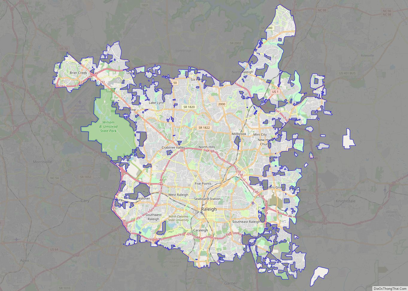
Raleigh (/ˈrɑːli/; RAH-lee) is the capital city of the state of North Carolina and the seat of Wake County in the United States. It is the second-most populous city in North Carolina, after Charlotte. Raleigh is the tenth-most populous city in the Southeast, the 41st-most populous city in the U.S., and the largest city of ... Read more
Greensboro city overview: Name: Greensboro city LSAD Code: 25 LSAD Description: city (suffix) State: North Carolina County: Guilford County Elevation: 897 ft (272 m) Land Area: 131.41 sq mi (340.35 km²) Water Area: 5.24 sq mi (13.57 km²) Population Density: 2,275.59/sq mi (878.61/km²) ZIP code: 27401, 27402, 27403, 27404, 27405, 27406, 27407, 27408, 27409, 27410, 27411, 27412, 27413, 27415, 27420, 27429, 27435, 27438, 27455, ... Read more
Durham (/ˈdʌrəm/ DURR-əm) is a city in the U.S. state of North Carolina and the county seat of Durham County. Small portions of the city limits extend into Orange County and Wake County. With a population of 283,506 in the 2020 census, Durham is the 4th-most populous city in North Carolina, and the 74th-most populous ... Read more
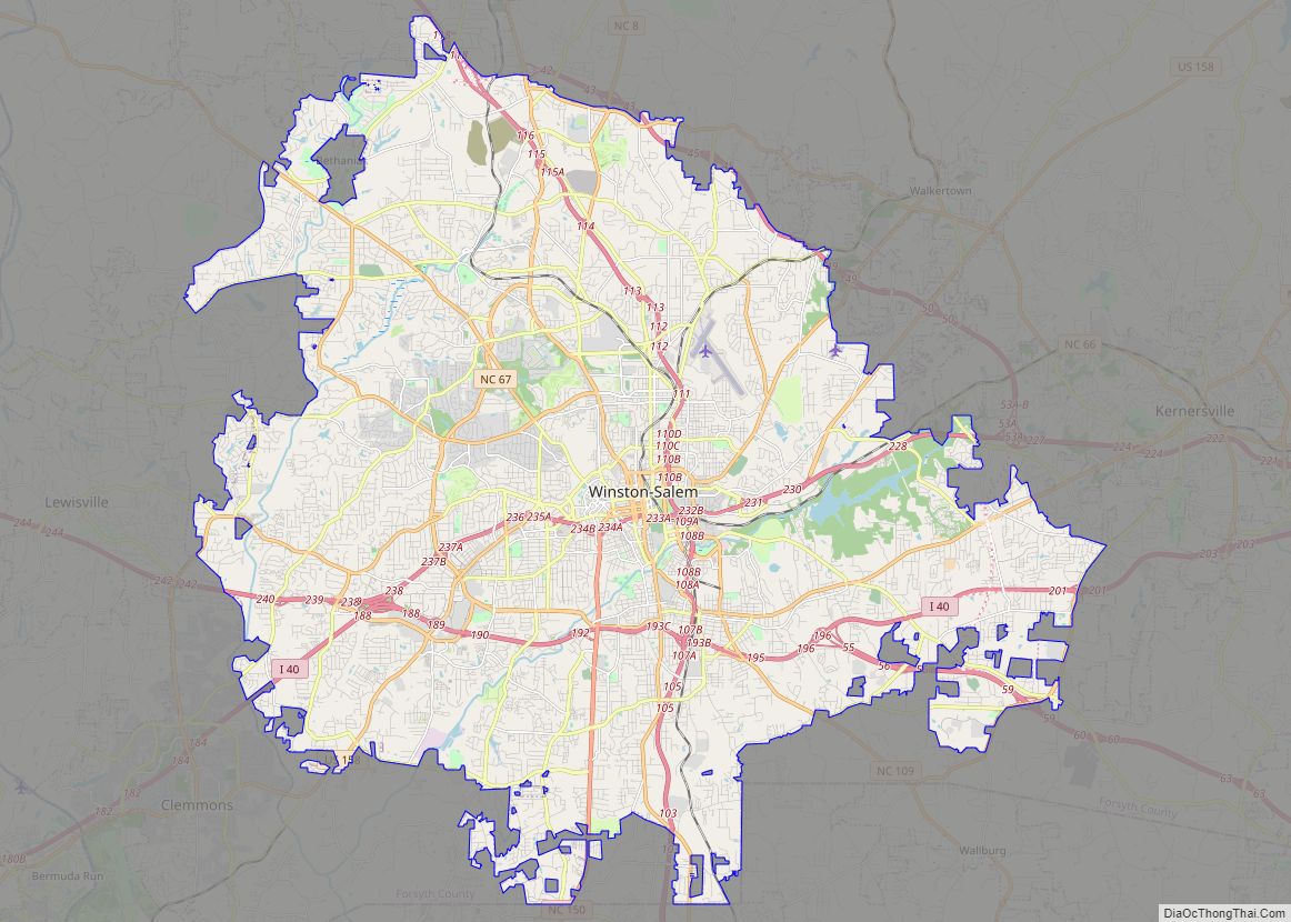
Winston-Salem is a city in and the county seat of Forsyth County, North Carolina, United States. In the 2020 census, the population was 249,545, making it the second-largest municipality in the Piedmont Triad region, the fifth-most-populous city in North Carolina, the third-largest urban area in North Carolina, and the 90th-most-populous city in the United States. ... Read more
Fayetteville (/ˈfeɪətvɪl, ˈfɛdvɪl/) is a city in and the county seat of Cumberland County, North Carolina, United States. It is best known as the home of Fort Bragg, a major U.S. Army installation northwest of the city. Fayetteville has received the All-America City Award from the National Civic League three times. As of the 2020 ... Read more
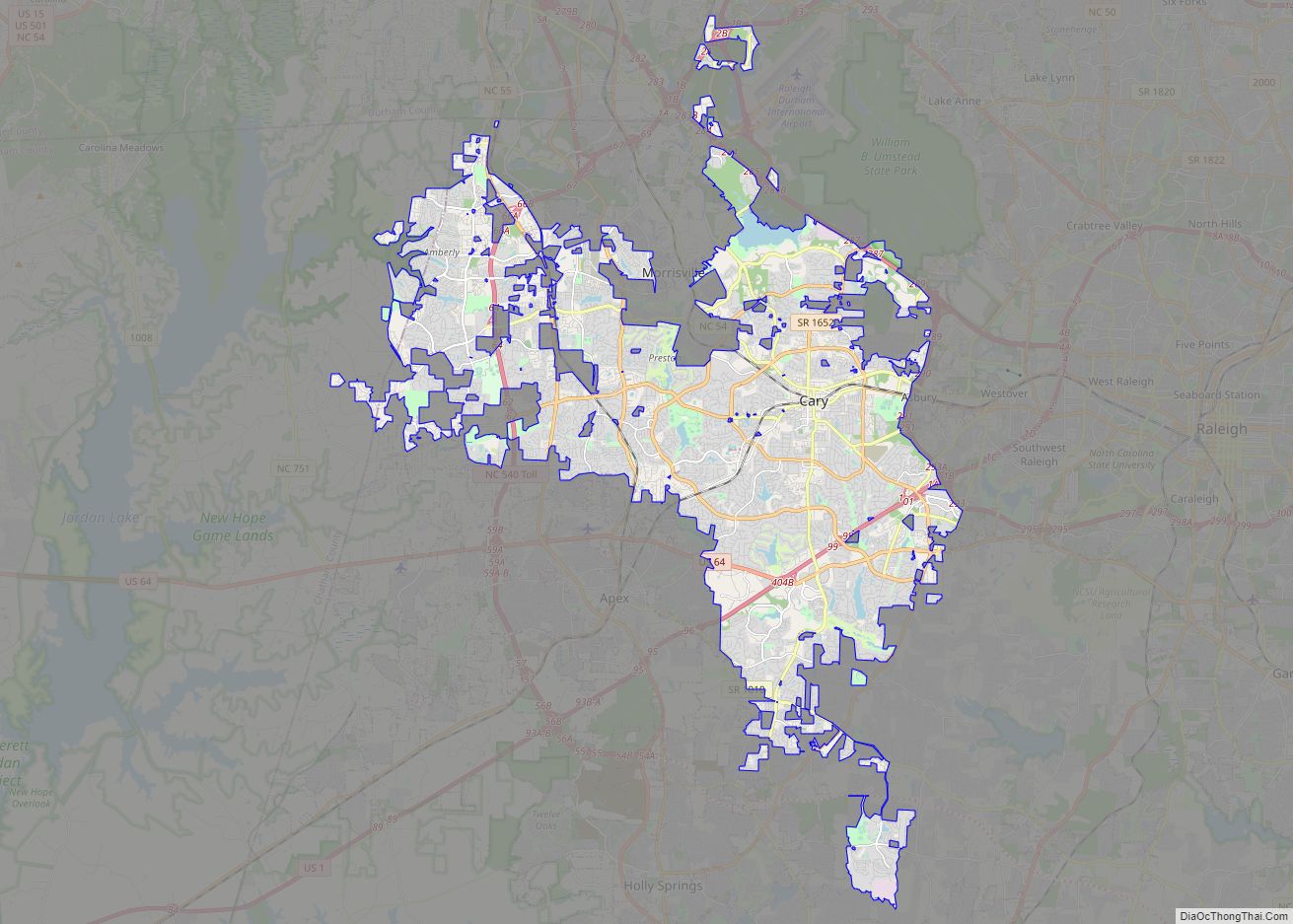
Cary is a town in Wake and Chatham counties in the U.S. state of North Carolina and is part of the Raleigh–Cary, NC Metropolitan Statistical Area. According to the 2020 Census, its population was 174,721, making it the seventh largest municipality in North Carolina, and the 148th largest in the United States. In 2021, the ... Read more
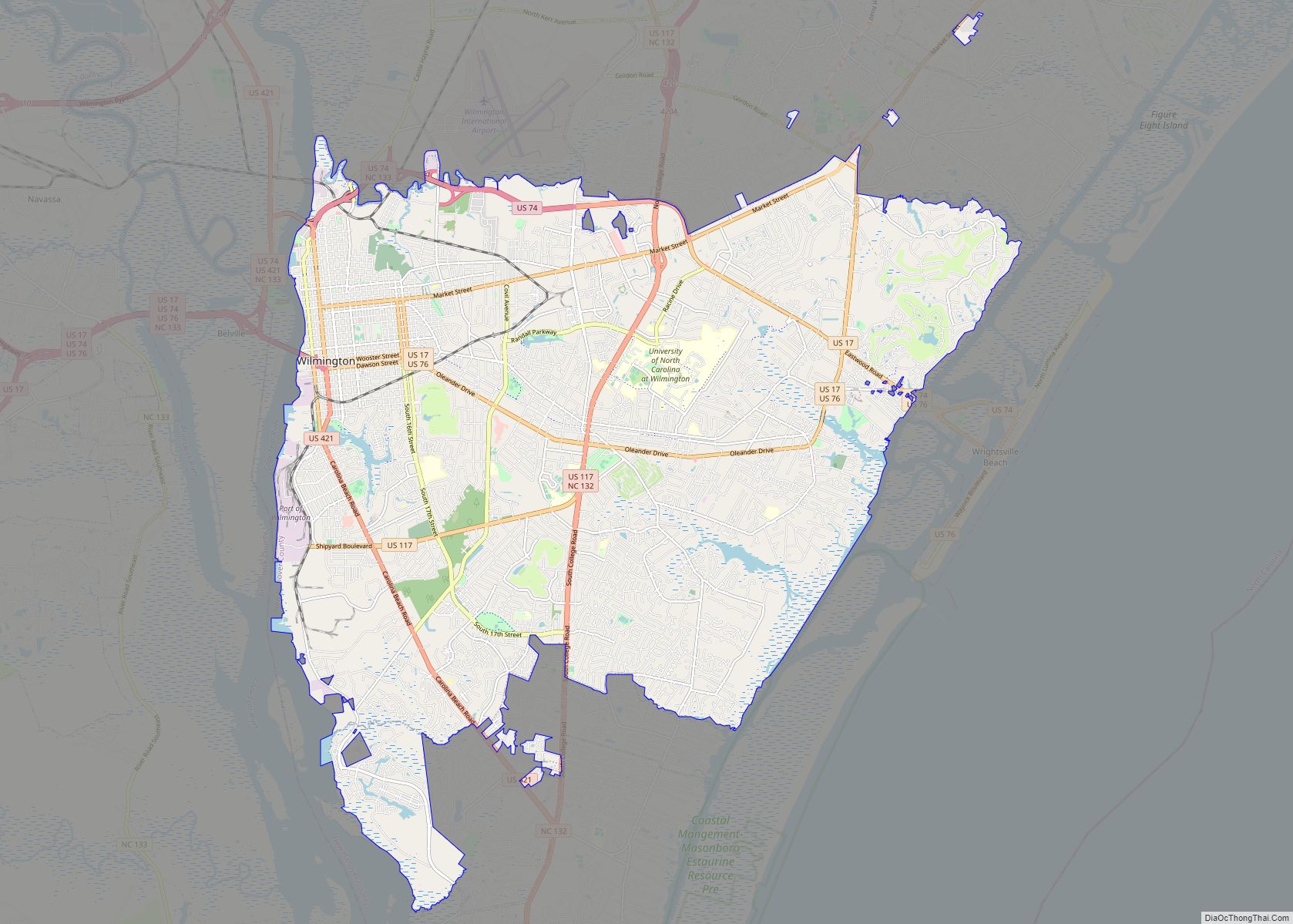
Wilmington is a port city in and the county seat of New Hanover County in coastal southeastern North Carolina. With a population of 115,451 at the 2020 census, it is the eighth-most populous city in the state. Wilmington is the principal city of the Wilmington Metropolitan Statistical Area, which includes New Hanover and Pender counties ... Read more
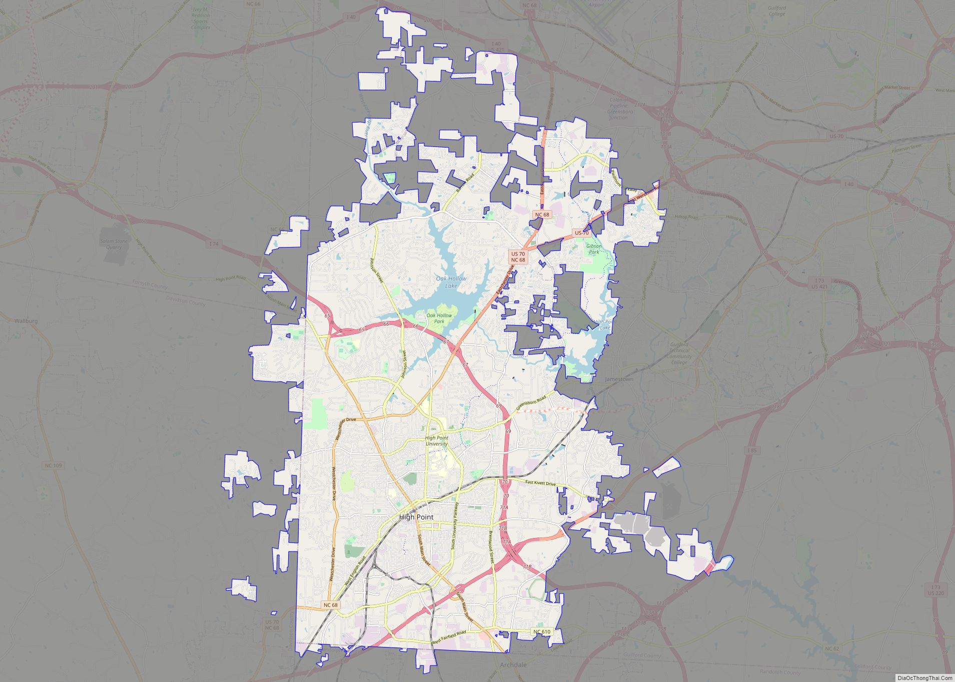
High Point is a city in the Piedmont Triad region of the U.S. state of North Carolina. Most of the city is in Guilford County, with parts extending into Randolph, Davidson, and Forsyth counties. High Point is North Carolina’s only city that extends into four counties. As of the 2020 census the city had a ... Read more
Concord is the county seat and largest city in Cabarrus County, in the U.S. state of North Carolina. At the 2020 census, the city had a population of 105,240. In terms of population, the city of Concord is the second-largest city in the Charlotte metropolitan area and is the 10th most populous city in North ... Read more
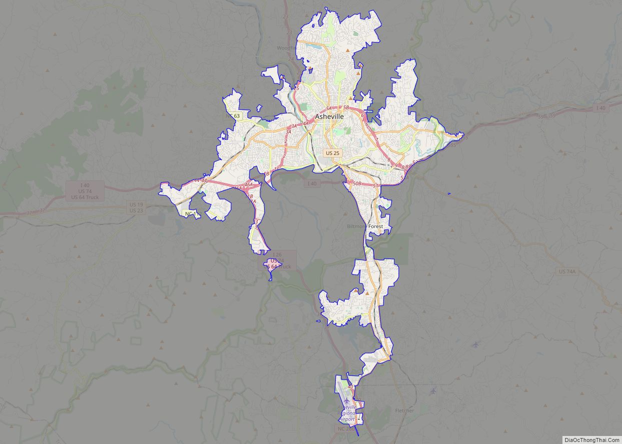
Asheville (/ˈæʃvɪl/ ASH-vil) is a city in, and the county seat of, Buncombe County, North Carolina. Located at the confluence of the French Broad and Swannanoa rivers, it is the largest city in Western North Carolina, and the state’s 11th-most populous city. According to the 2020 census, the city’s population was 94,589, up from 83,393 ... Read more
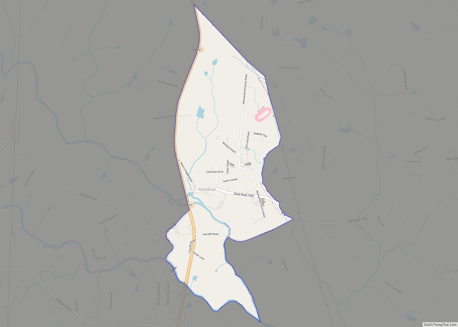
Altamahaw CDP overview: Name: Altamahaw CDP LSAD Code: 57 LSAD Description: CDP (suffix) State: North Carolina County: Alamance County FIPS code: 3701140 Online Interactive Map Altamahaw online map. Source: Basemap layers from Google Map, Open Street Map (OSM), Arcgisonline, Wmflabs. Boundary Data from Database of Global Administrative Areas. Altamahaw location map. Where is Altamahaw CDP? ... Read more
