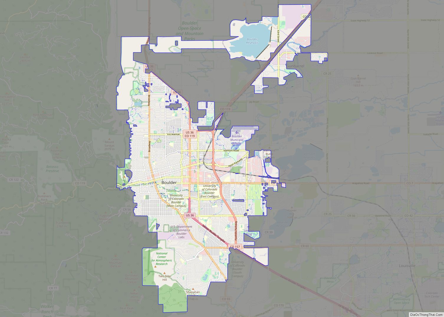
Boulder is a home rule city that is the county seat and most populous municipality of Boulder County, Colorado, United States. The city population was 108,250 at the 2020 United States census, making it the 12th most populous city in Colorado. Boulder is the principal city of the Boulder, CO Metropolitan Statistical Area and an ... Read more
Map of US Cities and Places
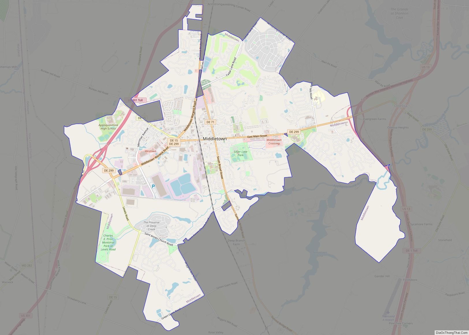
Middletown is a town in New Castle County, Delaware, United States. According to the 2021 Census, the population of the town is 24,164. Middletown town overview: Name: Middletown town LSAD Code: 43 LSAD Description: town (suffix) State: Delaware County: New Castle County Incorporated: 1861 Elevation: 66 ft (20 m) Total Area: 12.65 sq mi (32.75 km²) Land Area: 12.51 sq mi (32.41 km²) ... Read more
Dover (/ˈdoʊvər/) is the capital and second-most populous city of the U.S. state of Delaware. It is also the county seat of Kent County and the principal city of the Dover metropolitan statistical area, which encompasses all of Kent County and is part of the Philadelphia–Wilmington–Camden, PA–NJ–DE–MD, combined satistical area. It is located on the ... Read more
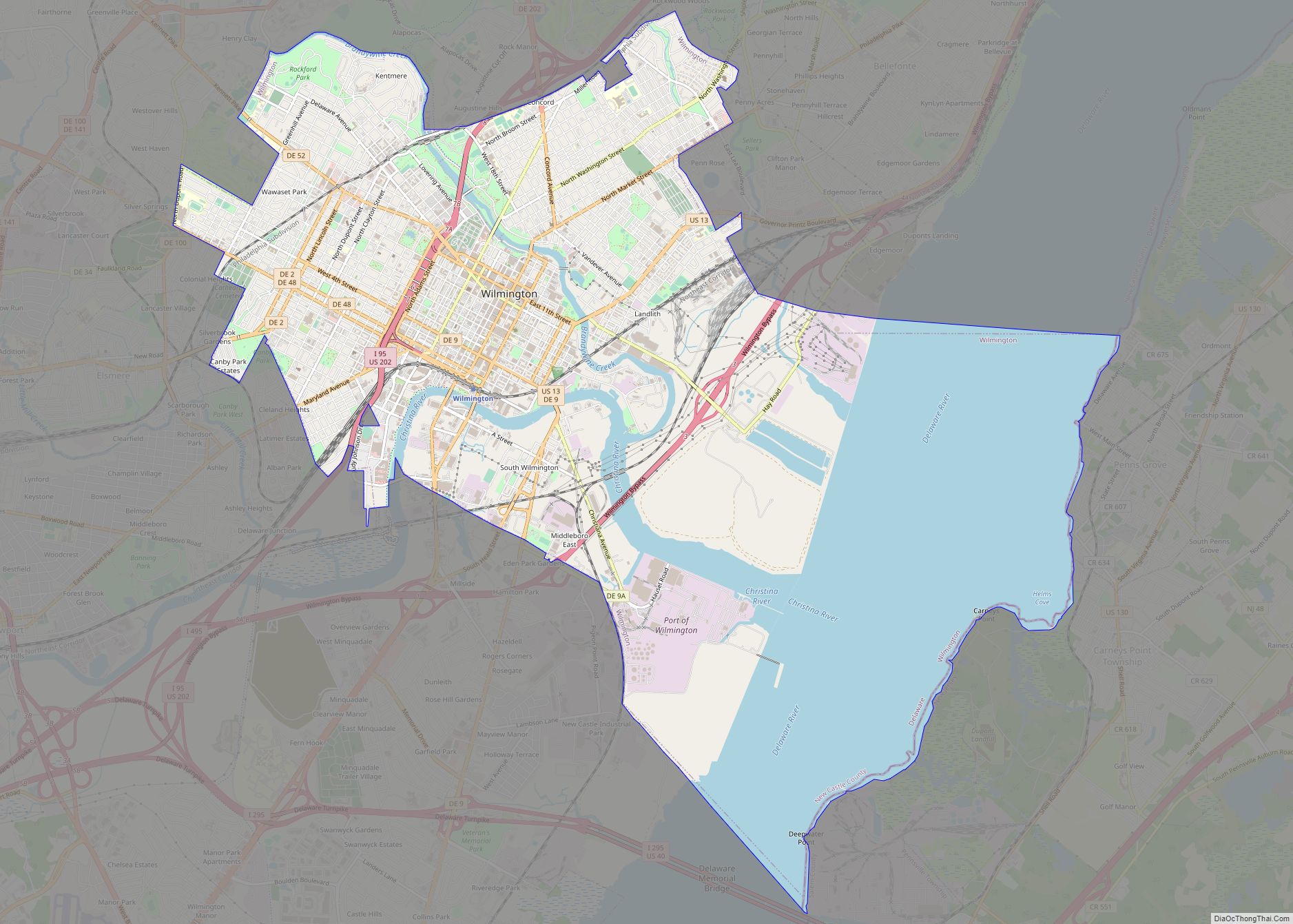
Wilmington (Lenape: Paxahakink / Pakehakink) is the largest city in the U.S. state of Delaware. The city was built on the site of Fort Christina, the first Swedish settlement in North America. It lies at the confluence of the Christina River and Brandywine Creek, two waterways near where the Christina flows into the Delaware River. ... Read more
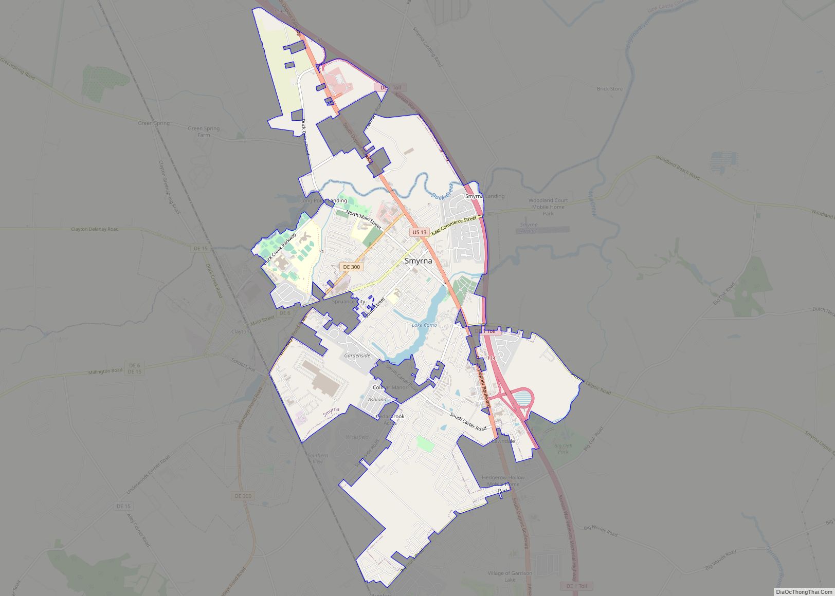
Smyrna is a town in Kent and New Castle counties in the U.S. state of Delaware. It is part of the Dover metropolitan statistical area. According to the U.S. Census Bureau, as of 2020, the population of the town is 12,883. The international jurist John Bassett Moore was born in Smyrna, as were politicians Louis ... Read more
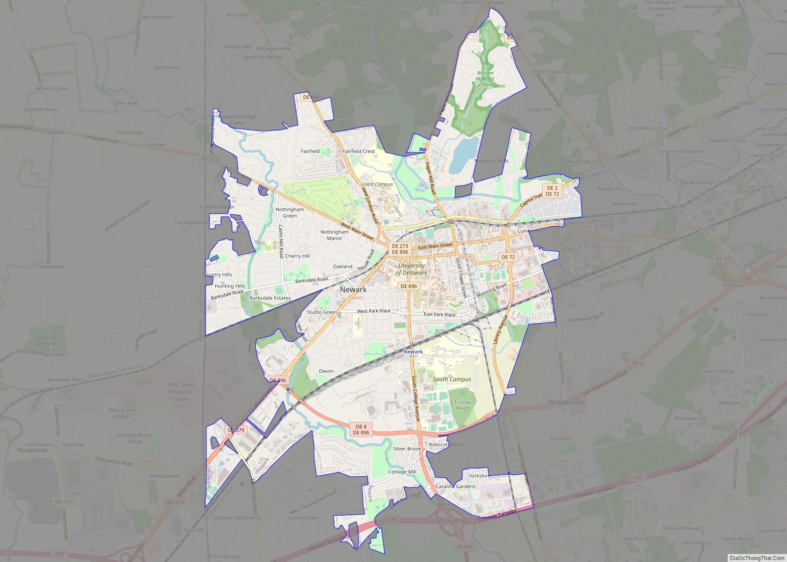
Newark (/ˈnuːɑːrk/ NEW-ark) is a small city in New Castle County, Delaware, United States. It is located 12 miles (19 km) west-southwest of Wilmington. According to the 2010 Census, the population of the city is 31,454. Newark is home to the University of Delaware. The city constitutes part of the Delaware Valley (i.e. the Philadelphia metropolitan ... Read more
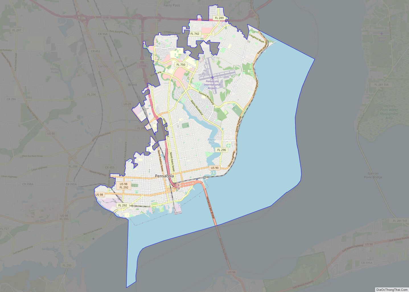
Pensacola (/ˌpɛnsəˈkoʊlə/ pen-SAH-koh-LAH) is the westernmost city in the Florida Panhandle, and the county seat and only incorporated city of Escambia County, Florida. Pensacola is the principal city of the Pensacola Metropolitan Area, which had an estimated 502,629 residents in 2019. At the 2020 United States census, the population was 54,312. Pensacola is the site ... Read more
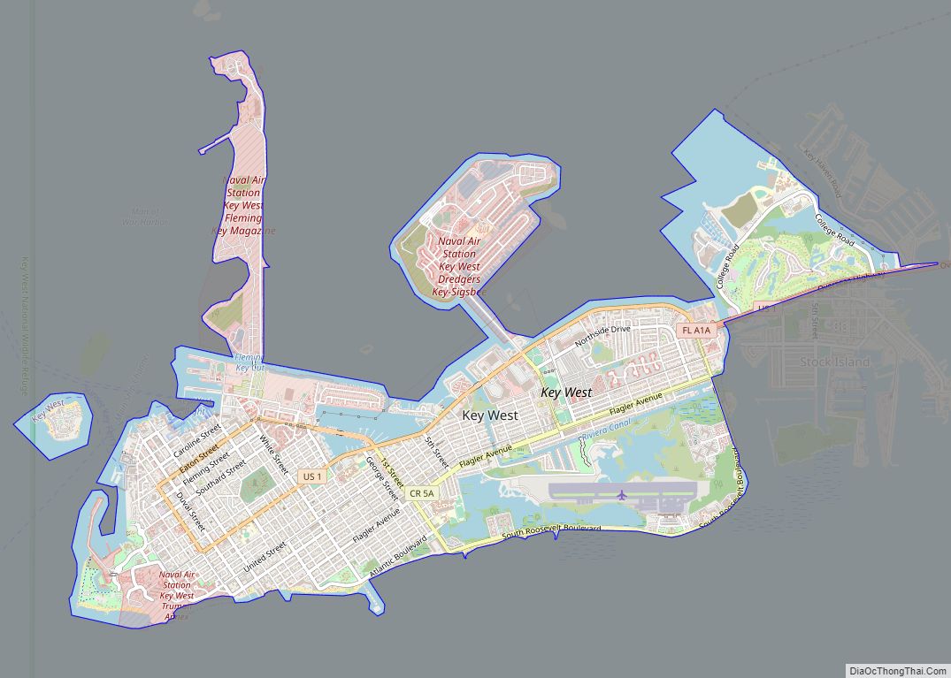
Key West (Spanish: Cayo Hueso) is an island in the Straits of Florida, within the U.S. state of Florida. Together with all or parts of the separate islands of Dredgers Key, Fleming Key, Sunset Key, and the northern part of Stock Island, it constitutes the City of Key West. The island of Key West is ... Read more
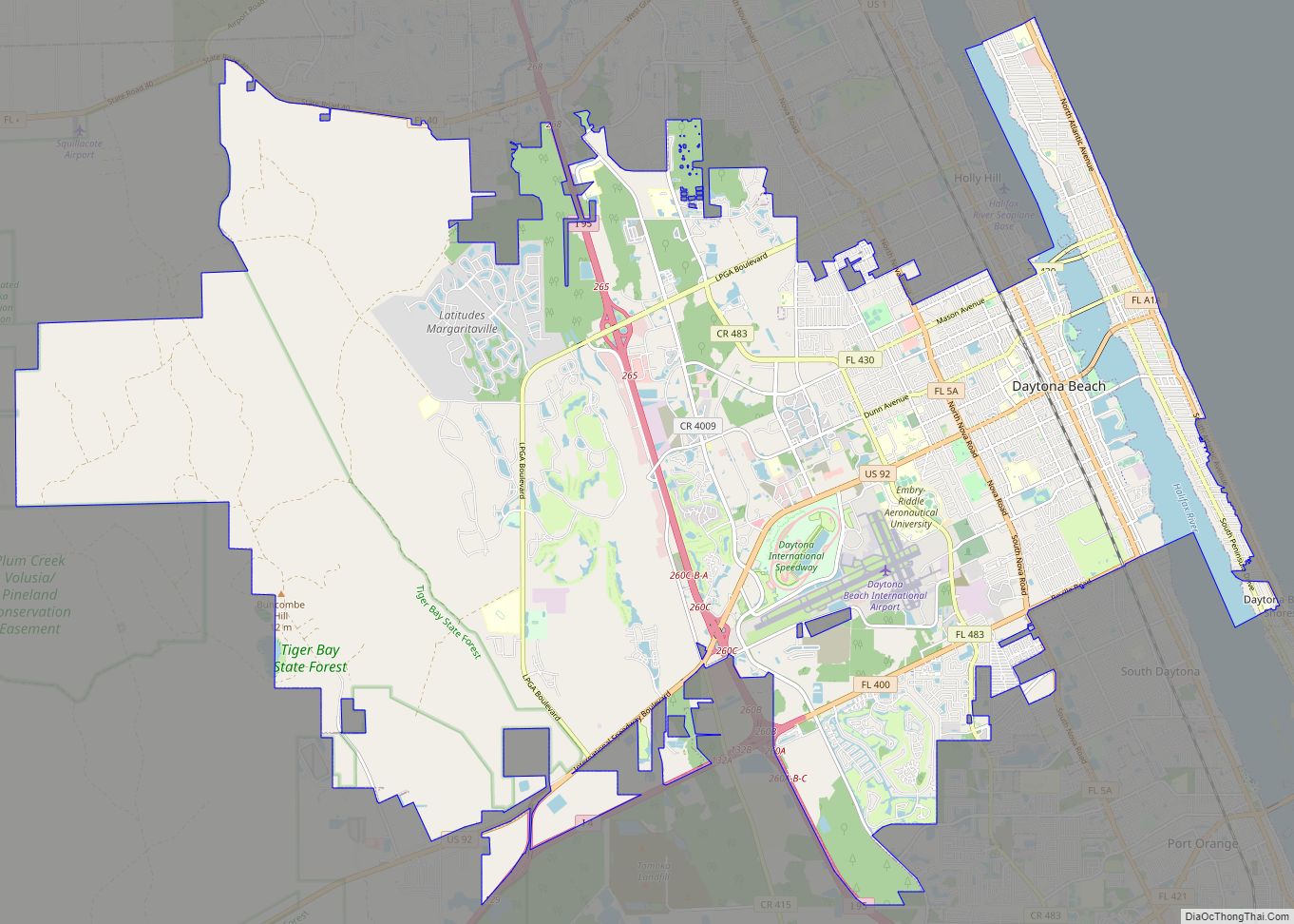
Daytona Beach, or simply Daytona, is a coastal resort city in east-central Florida. Located on the eastern edge of Volusia County near the Atlantic coastline, its population was 72,647 at the 2020 census. Daytona Beach is approximately 42 miles (67.6 km) northeast of Orlando, 90 miles (144.8 km) southeast of Jacksonville, and 231 miles (371.8 km) northwest of ... Read more
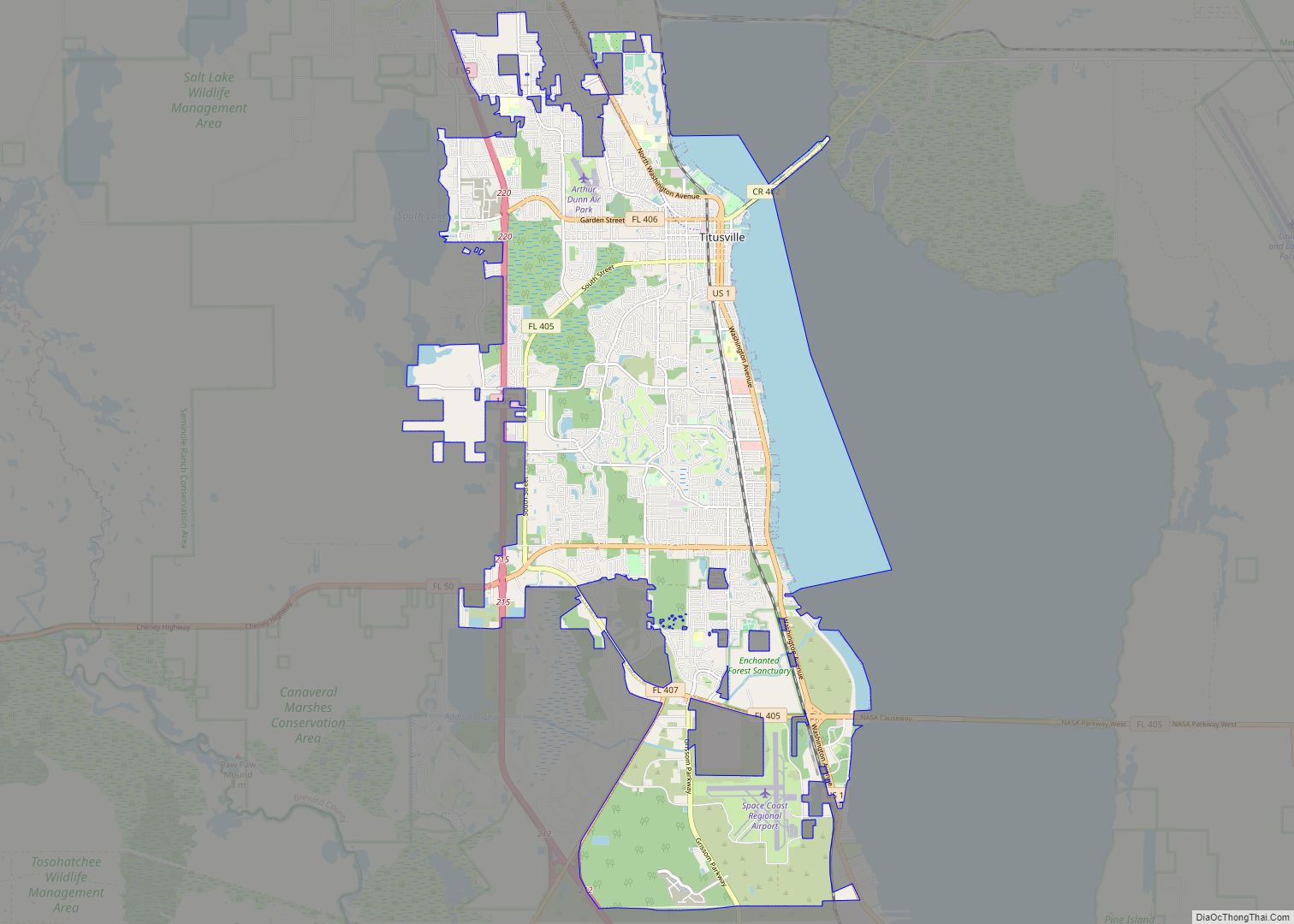
Titusville is a city in and the county seat of Brevard County, Florida, United States. The city’s population was 43,761 as of the 2010 United States Census. Titusville is located along the Indian River, west of Merritt Island and the Kennedy Space Center, and south-southwest of the Canaveral National Seashore. It is a principal city ... Read more
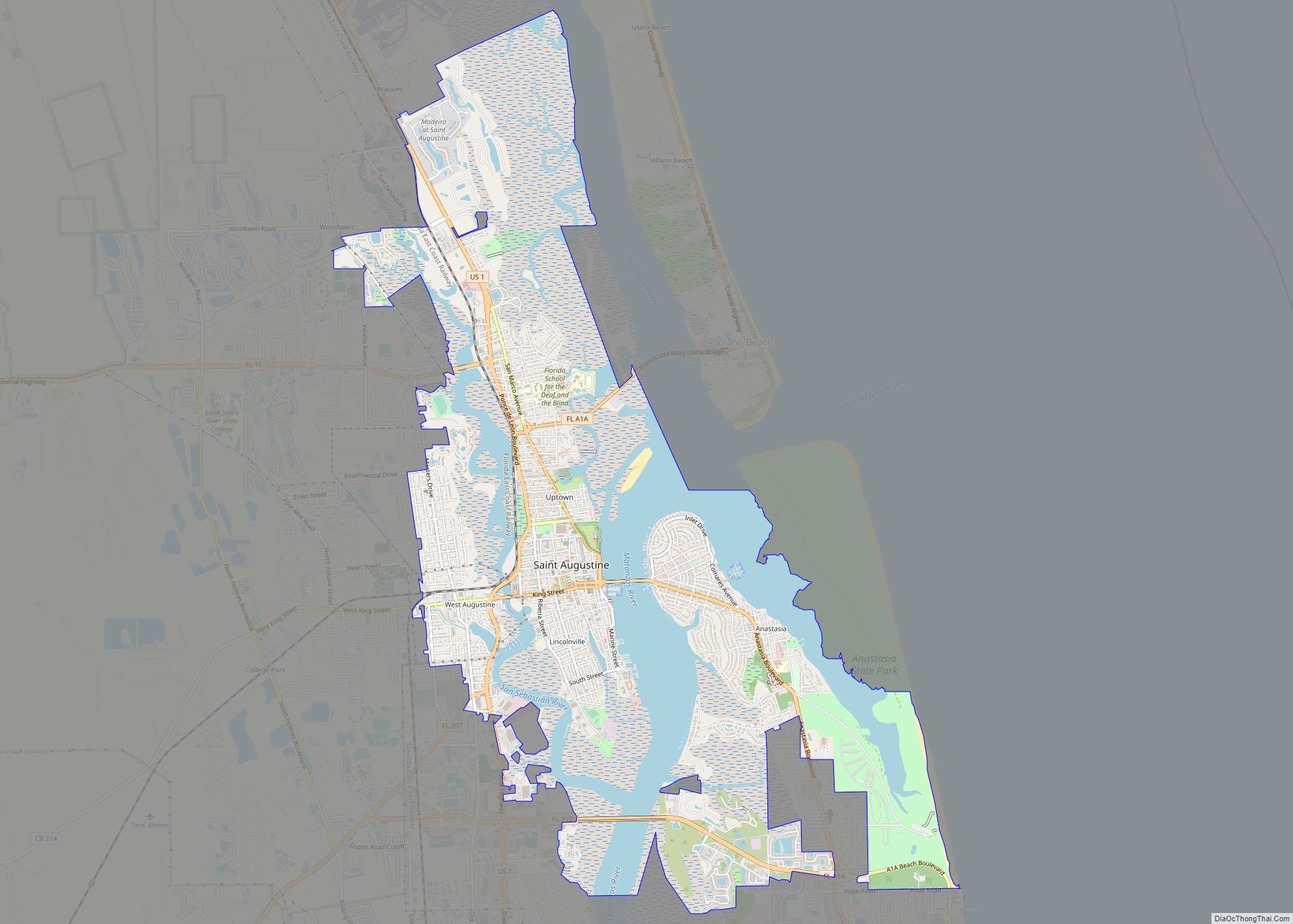
St. Augustine city overview: Name: St. Augustine city LSAD Code: 25 LSAD Description: city (suffix) State: Florida County: St. Johns County Elevation: 0 ft (0 m) Land Area: 9.52 sq mi (24.66 km²) Water Area: 3.33 sq mi (8.63 km²) Population Density: 1,504.99/sq mi (581.05/km²) Area code: 904 FIPS code: 1262500 GNISfeature ID: 0308101 Website: City of St. Augustine Online Interactive Map St. Augustine ... Read more
Brunswick (/ˈbrʌnzwɪk/ BRUN-zwik) is a city in and the county seat of Glynn County in the U.S. state of Georgia. As the primary urban and economic center of the lower southeast portion of Georgia, it is the second-largest urban area on the Georgia coastline after Savannah and contains the Brunswick Old Town Historic District. At ... Read more
