Smyrna is a town in Kent and New Castle counties in the U.S. state of Delaware. It is part of the Dover metropolitan statistical area. According to the U.S. Census Bureau, as of 2020, the population of the town is 12,883.
The international jurist John Bassett Moore was born in Smyrna, as were politicians Louis McLane and James Williams.
| Name: | Smyrna town |
|---|---|
| LSAD Code: | 43 |
| LSAD Description: | town (suffix) |
| State: | Delaware |
| County: | Kent County, New Castle County |
| Elevation: | 33 ft (10 m) |
| Total Area: | 6.31 sq mi (16.34 km²) |
| Land Area: | 6.24 sq mi (16.17 km²) |
| Water Area: | 0.07 sq mi (0.17 km²) |
| Total Population: | 12,883 |
| Population Density: | 2,063.26/sq mi (796.66/km²) |
| ZIP code: | 19977 |
| Area code: | 302 |
| FIPS code: | 1067310 |
| GNISfeature ID: | 214671 |
| Website: | smyrna.delaware.gov |
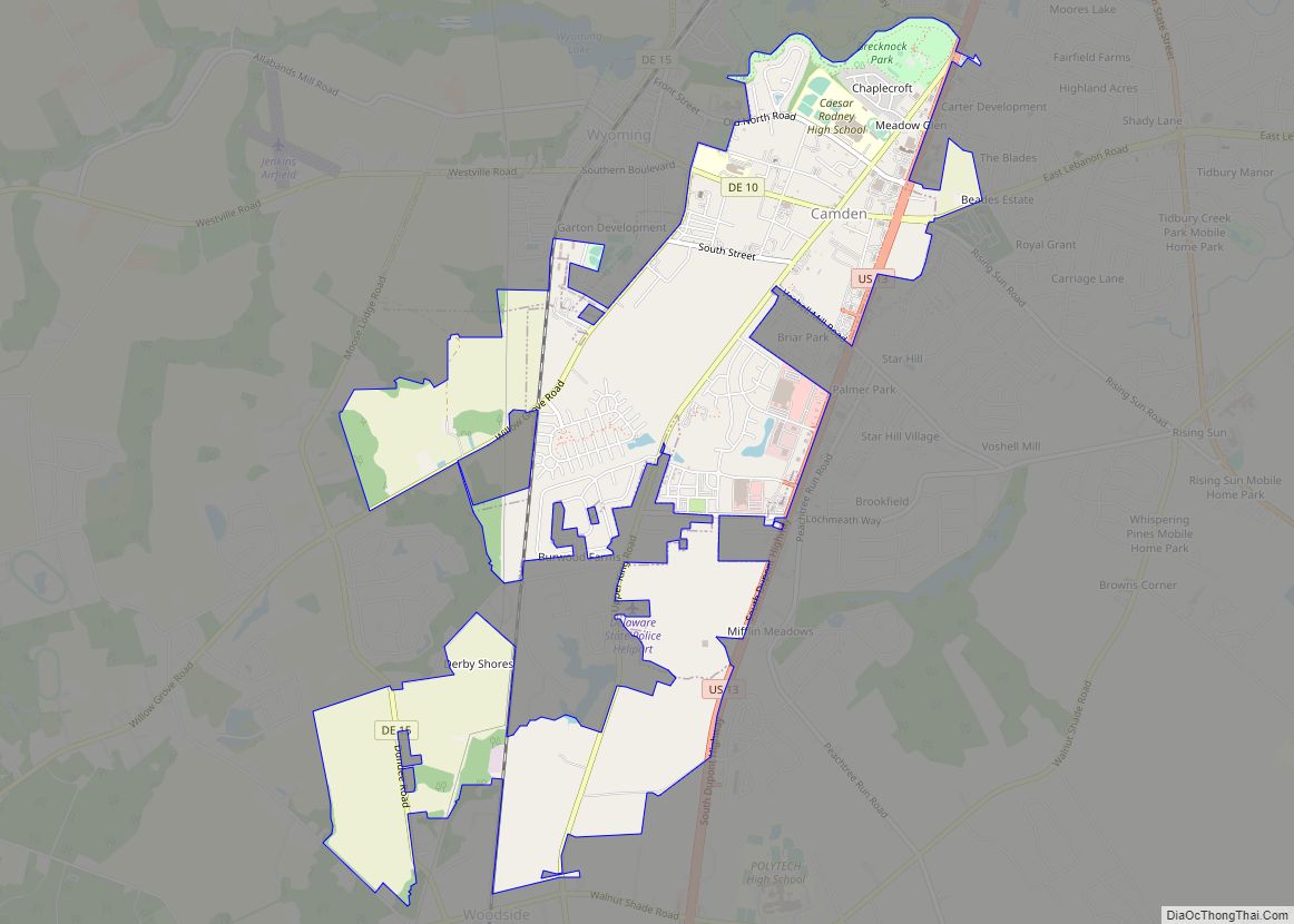
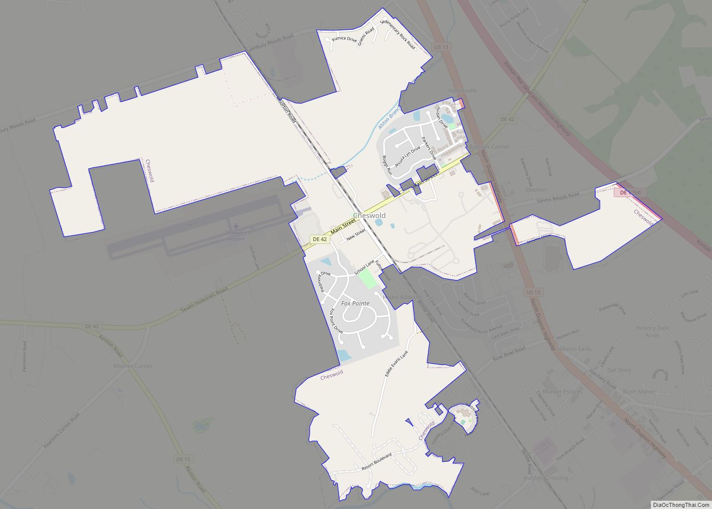
Online Interactive Map
Click on ![]() to view map in "full screen" mode.
to view map in "full screen" mode.
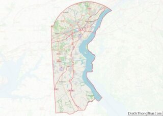
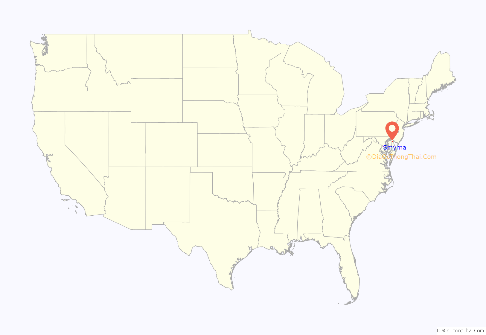
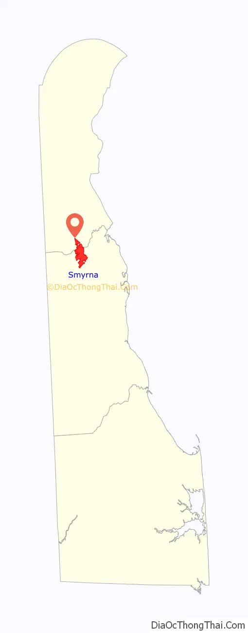
Smyrna location map. Where is Smyrna town?
History
Smyrna was originally called Duck Creek Cross Roads and received its current name in 1806 after the Greek seaport of Smyrna in present-day Turkey. The town was located along the north–south King’s Highway. Smyrna was originally a shipping center along the Duck Creek and was the most important port between Wilmington and Lewes, shipping grain, lumber, tanbark, and produce to points north. After the shipping industry collapsed in the 1850s, the town would continue to be an agricultural center.
Another account of Smyrna’s name goes back to the Second Great Awakening of 1806–1807 when Methodist preacher Frances Asbury preached a sermon on the Church at Smyrna from Revelation 2 to the local Methodist society. The sermon was so well received that the residents changed the name of the town to Smyrna in honor of the sermon.
The Bannister Hall and Baynard House, Belmont Hall, David J. Cummins House, Timothy Cummins House, Duck Creek Village, George Farmhouse, Ivy Dale Farm, Mount Pleasant, Moore House, Peterson and Mustard’s Hermitage Farm, Savin-Wilson House, Short’s Landing Hotel Complex, Smyrna Historic District, John M. Voshell House, and Woodlawn are listed on the National Register of Historic Places.
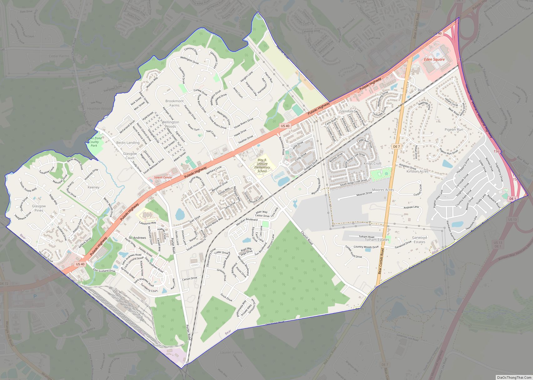
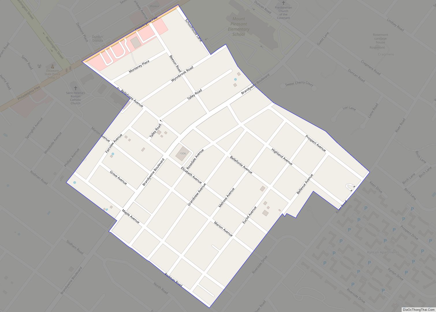
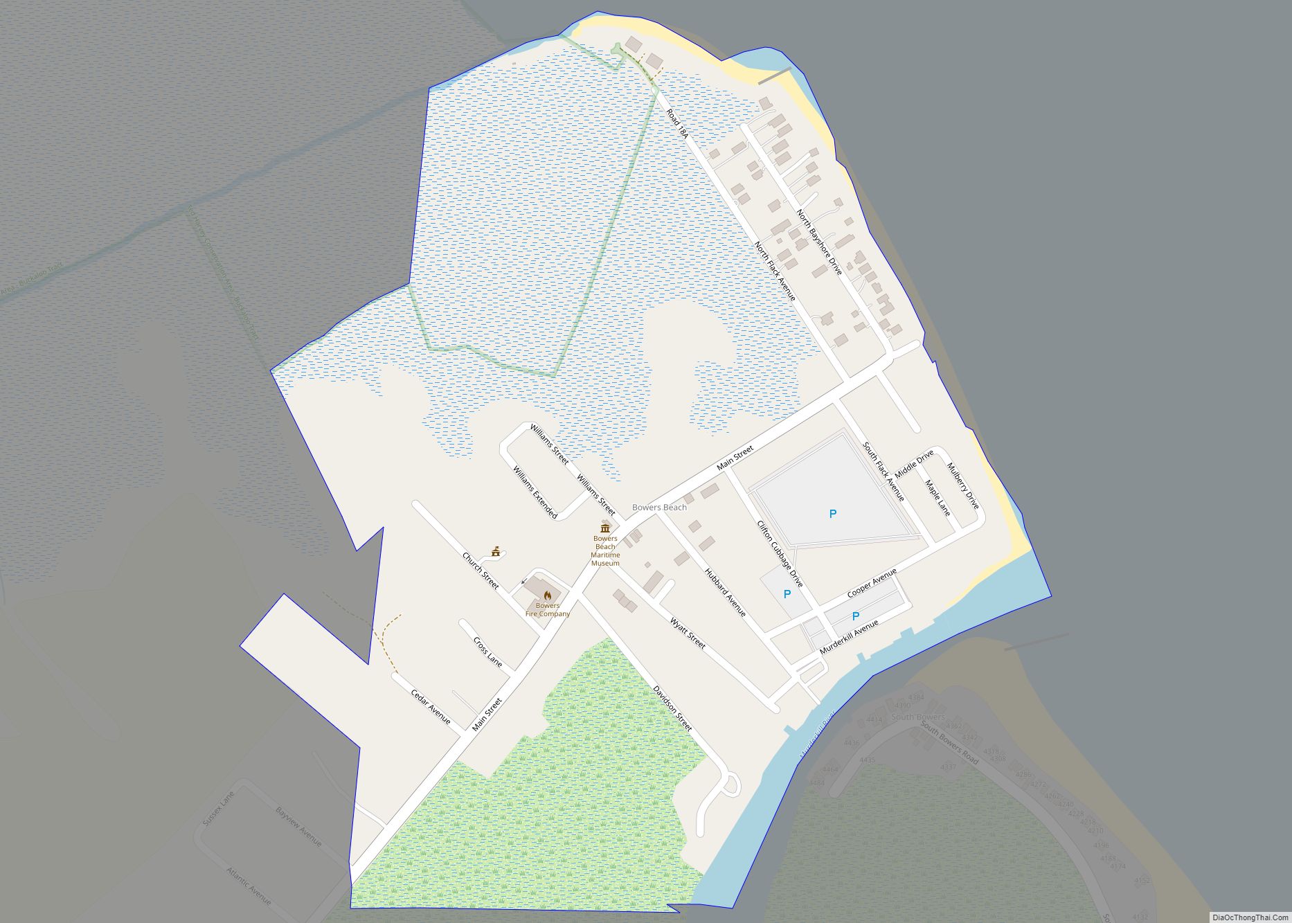
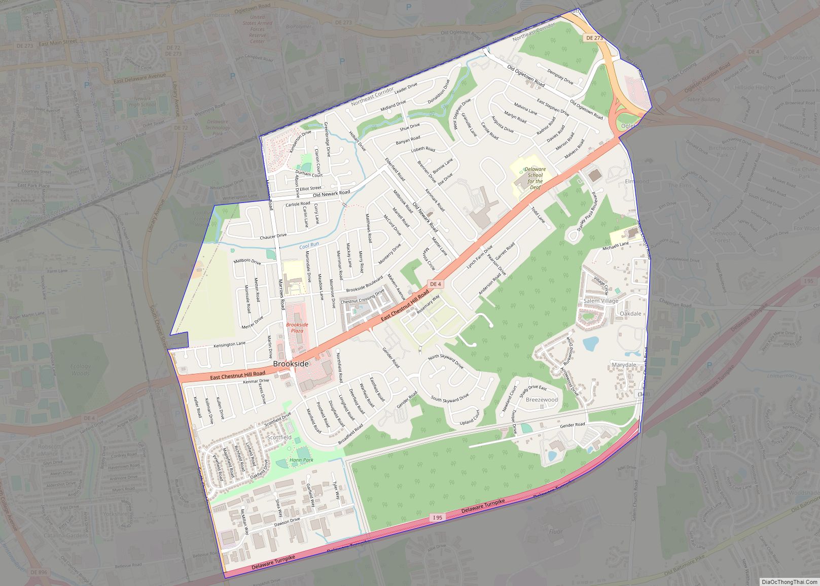
Smyrna Road Map

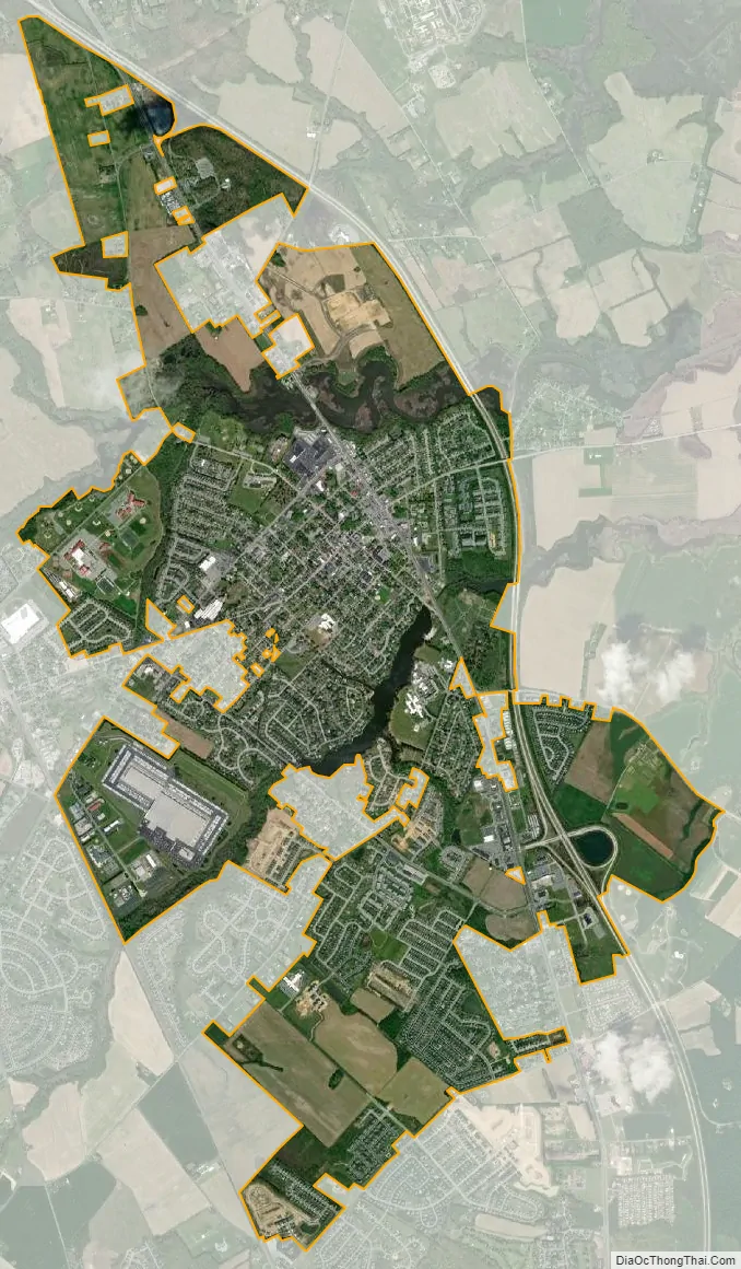
Smyrna city Satellite Map
Geography
According to the United States Census Bureau, the town has a total area of 3.8 square miles (9.8 km), of which 3.7 square miles (9.6 km) is land and 0.1 square miles (0.26 km) (2.13%) is water.
Climate
The climate in this area is characterized by hot, humid summers and generally mild to cool winters. According to the Köppen Climate Classification system, Smyrna has a humid subtropical climate, abbreviated “Cfa” on climate maps.
See also
Map of Delaware State and its subdivision: Map of other states:- Alabama
- Alaska
- Arizona
- Arkansas
- California
- Colorado
- Connecticut
- Delaware
- District of Columbia
- Florida
- Georgia
- Hawaii
- Idaho
- Illinois
- Indiana
- Iowa
- Kansas
- Kentucky
- Louisiana
- Maine
- Maryland
- Massachusetts
- Michigan
- Minnesota
- Mississippi
- Missouri
- Montana
- Nebraska
- Nevada
- New Hampshire
- New Jersey
- New Mexico
- New York
- North Carolina
- North Dakota
- Ohio
- Oklahoma
- Oregon
- Pennsylvania
- Rhode Island
- South Carolina
- South Dakota
- Tennessee
- Texas
- Utah
- Vermont
- Virginia
- Washington
- West Virginia
- Wisconsin
- Wyoming