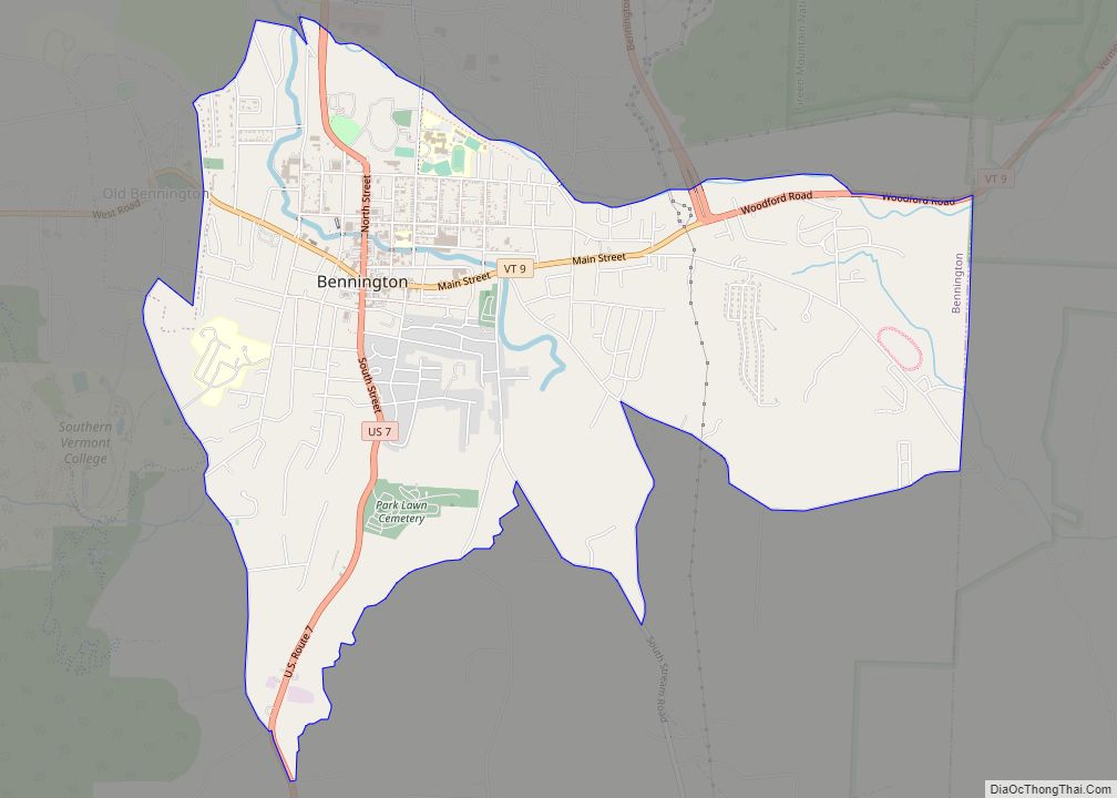
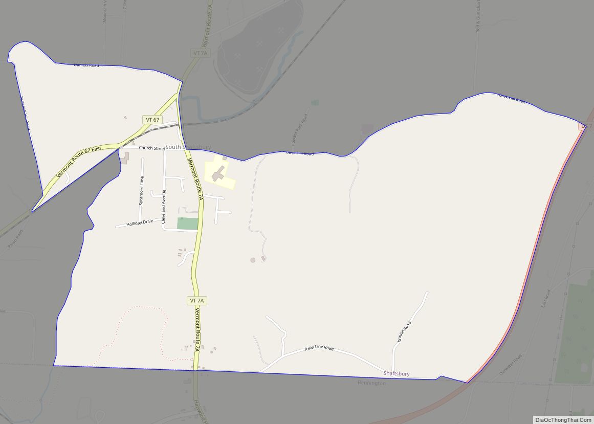
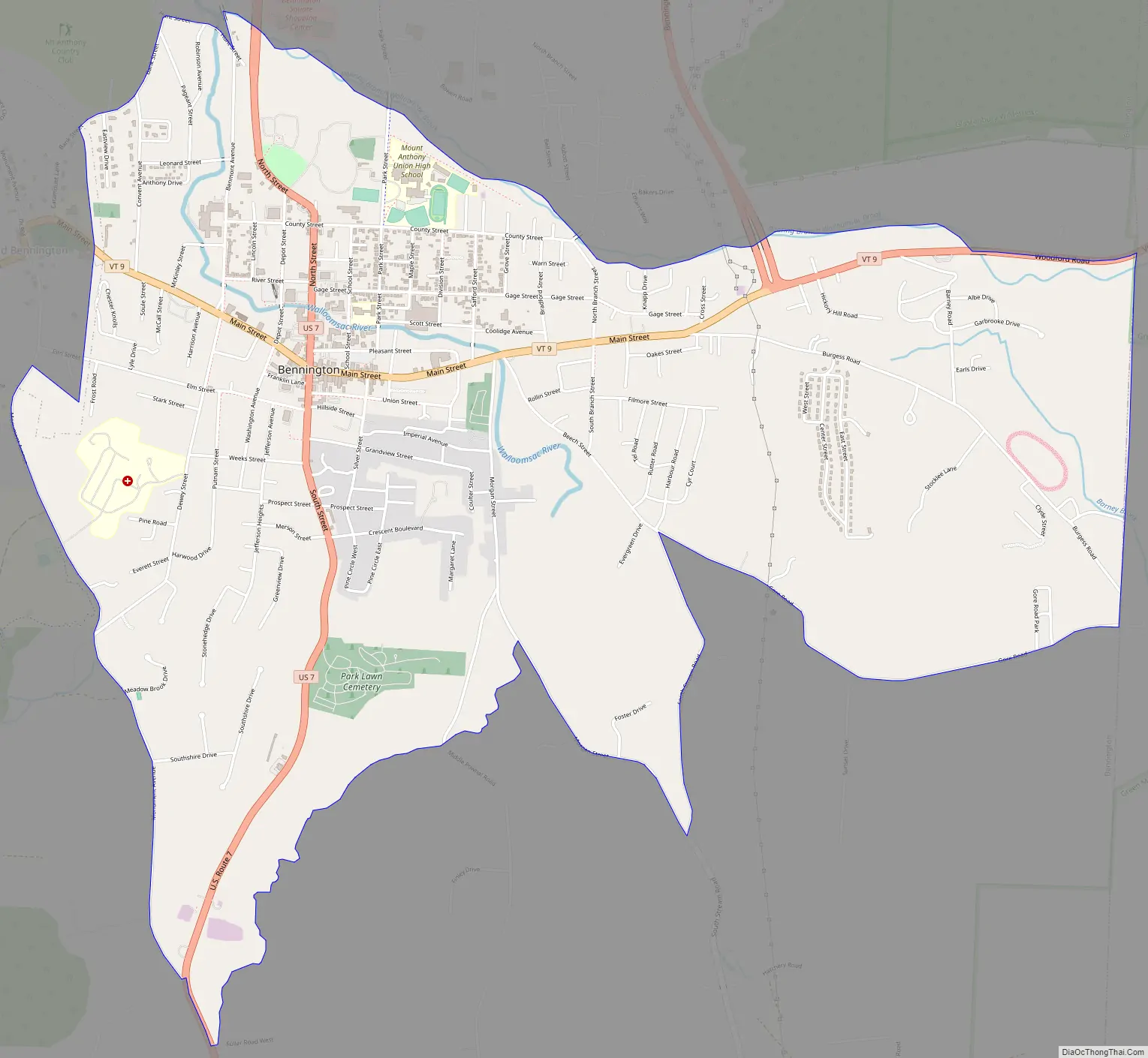
Bennington is a census-designated place (CDP) in Bennington County, Vermont, United States. It is located entirely within the town of Bennington. The population of the CDP was 9,074 at the 2010 census, or 57.6% of the population of the entire town.
| Name: | Bennington CDP |
|---|---|
| LSAD Code: | 57 |
| LSAD Description: | CDP (suffix) |
| State: | Vermont |
| County: | Bennington County |
| Elevation: | 679 ft (207 m) |
| Total Area: | 4.84 sq mi (12.53 km²) |
| Land Area: | 4.80 sq mi (12.44 km²) |
| Water Area: | 0.03 sq mi (0.09 km²) |
| Total Population: | 9,074 |
| Population Density: | 1,890/sq mi (729.7/km²) |
| ZIP code: | 05201 |
| Area code: | 802 |
| FIPS code: | 5004750 |
| GNISfeature ID: | 2378120 |
Online Interactive Map
Click on ![]() to view map in "full screen" mode.
to view map in "full screen" mode.
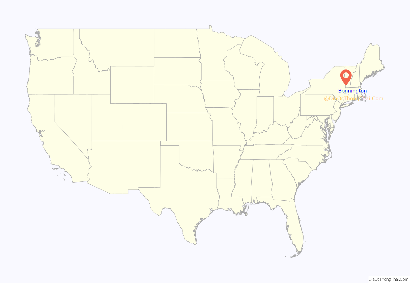
Bennington location map. Where is Bennington CDP?

Bennington Road Map
Bennington city Satellite Map

Geography
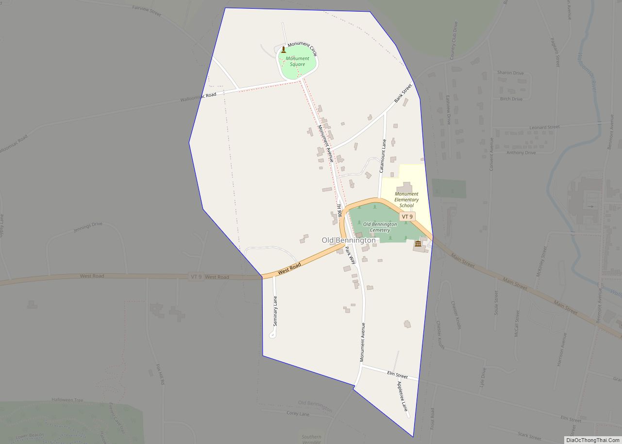
The Bennington CDP comprises the downtown area of the town of Bennington, ranging from the Walloomsac River/Roaring Branch/Walloomsac Brook on the north, to the village of Old Bennington and Monument Avenue on the west, to Jewett Brook, Morgan Street, South Stream Road and Gore Road on the south, and to the Woodford town line on the east.
According to the United States Census Bureau, the CDP has a total area of 4.84 square miles (12.53 km), of which 4.80 square miles (12.44 km) is land and 0.035 square miles (0.09 km), or 0.74%, is water.
See also
Map of Vermont State and its subdivision: Map of other states:- Alabama
- Alaska
- Arizona
- Arkansas
- California
- Colorado
- Connecticut
- Delaware
- District of Columbia
- Florida
- Georgia
- Hawaii
- Idaho
- Illinois
- Indiana
- Iowa
- Kansas
- Kentucky
- Louisiana
- Maine
- Maryland
- Massachusetts
- Michigan
- Minnesota
- Mississippi
- Missouri
- Montana
- Nebraska
- Nevada
- New Hampshire
- New Jersey
- New Mexico
- New York
- North Carolina
- North Dakota
- Ohio
- Oklahoma
- Oregon
- Pennsylvania
- Rhode Island
- South Carolina
- South Dakota
- Tennessee
- Texas
- Utah
- Vermont
- Virginia
- Washington
- West Virginia
- Wisconsin
- Wyoming