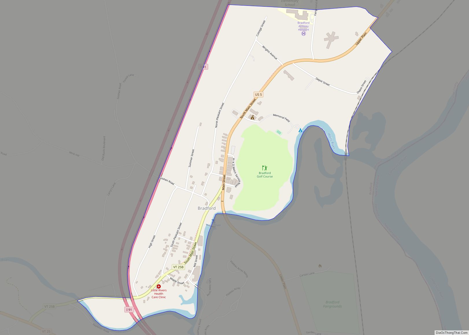
Bradford is a census-designated places in the town of Bradford, Orange County, Vermont, United States. The population was 907 at the 2020 census. The village disincorporated on December 1, 2004. The village became a census-designated place in 2008. The central commercial and residential portion of the village is listed on the National Register of Historic Places as the Bradford Village Historic District.
| Name: | Bradford CDP |
|---|---|
| LSAD Code: | 57 |
| LSAD Description: | CDP (suffix) |
| State: | Vermont |
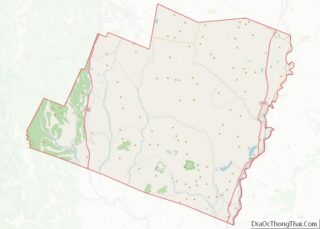
| County: | Orange County |
| Total Area: | 0.5 sq mi (1.3 km²) |
| Land Area: | 0.5 sq mi (1.3 km²) |
| Water Area: | 0.0 sq mi (0.0 km²) |
| Total Population: | 907 |
| Population Density: | 1,800/sq mi (700/km²) |
| ZIP code: | 05033 |
| Area code: | 802 |
| FIPS code: | 5007225 |
Online Interactive Map
Click on ![]() to view map in "full screen" mode.
to view map in "full screen" mode.
Bradford location map. Where is Bradford CDP?


History
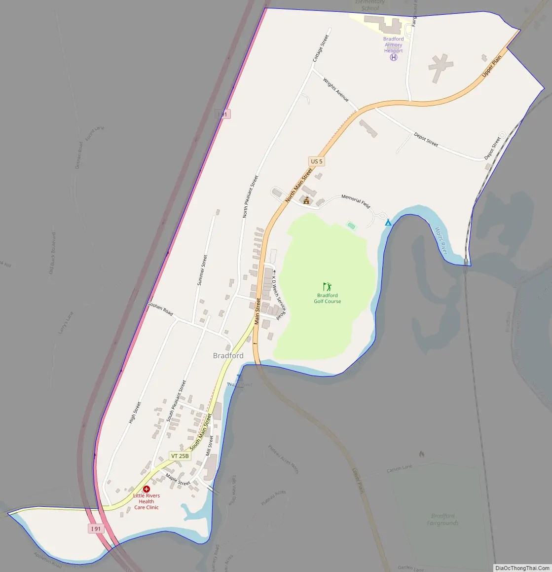
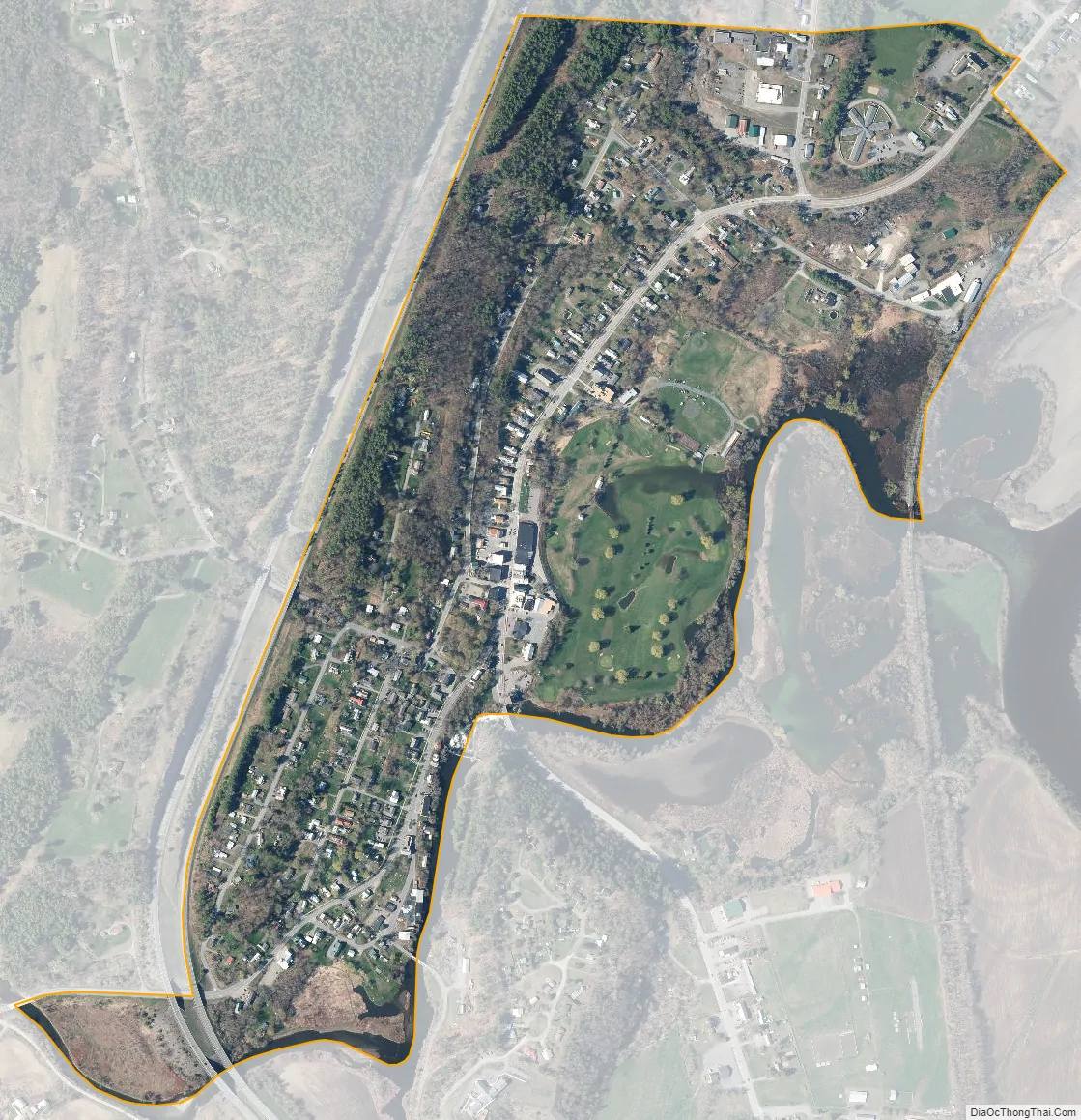
Bradford was established in the early 19th century, the steep drop of the Waits River recognized as a source of water power for industrial use. Asa Low spearheaded development of that industry, building a brick grist mill in 1847. The village saw continued prosperity through the 19th century. The historic district designated in 1975 comprises 81 commercial, public, and religious buildings showcasing architectural styles from Federal and Greek Revival to Italianate and Romanesque. It includes the commercial business district of the village, the former industrial area near the Waits River, and adjacent residential areas.
Historic buildings
Some of Bradford’s more significant historic buildings include:
- Former Boston and Maine Railroad depot (Depot Street), 1890
- Methodist Church (North Main Street), 1849
- Woods School Building or Bradford Academy (North Main Street), 1893–94
- Old Church (North Main Street), 1793–95
- Former Bliss Hotel (North Main Street), 1806
- Former Grist Mill (U.S. Route 5), 1847
- Woods Library Building (South Main Street), 1894–95
- Former Waitsville Fire House (South Main Street), 1871
Bradford Road Map
Bradford city Satellite Map
Geography
According to the United States Census Bureau, the village had a total area of 0.5 square miles (1.3 km), all of it land. The Waits River flows through the village.
See also
Map of Vermont State and its subdivision: Map of other states:- Alabama
- Alaska
- Arizona
- Arkansas
- California
- Colorado
- Connecticut
- Delaware
- District of Columbia
- Florida
- Georgia
- Hawaii
- Idaho
- Illinois
- Indiana
- Iowa
- Kansas
- Kentucky
- Louisiana
- Maine
- Maryland
- Massachusetts
- Michigan
- Minnesota
- Mississippi
- Missouri
- Montana
- Nebraska
- Nevada
- New Hampshire
- New Jersey
- New Mexico
- New York
- North Carolina
- North Dakota
- Ohio
- Oklahoma
- Oregon
- Pennsylvania
- Rhode Island
- South Carolina
- South Dakota
- Tennessee
- Texas
- Utah
- Vermont
- Virginia
- Washington
- West Virginia
- Wisconsin
- Wyoming