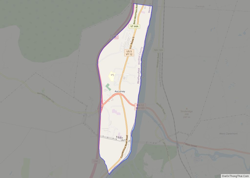
Bethel is a census-designated place (CDP) that comprises the central village of the town of Bethel, Windsor County, Vermont, United States. As of the 2010 census, the population of the CDP was 569, compared to 2,030 for the entire town of Bethel.
| Name: | Bethel CDP |
|---|---|
| LSAD Code: | 57 |
| LSAD Description: | CDP (suffix) |
| State: | Vermont |
| County: | Windsor County |
| Elevation: | 573 ft (175 m) |
| Total Area: | 1.6 sq mi (4.2 km²) |
| Land Area: | 1.6 sq mi (4.1 km²) |
| Water Area: | 0.04 sq mi (0.1 km²) |
| Total Population: | 569 |
| Population Density: | 350/sq mi (140/km²) |
| ZIP code: | 05032 |
| Area code: | 802 |
| FIPS code: | 5005725 |
| GNISfeature ID: | 1456042 |
Online Interactive Map
Click on ![]() to view map in "full screen" mode.
to view map in "full screen" mode.
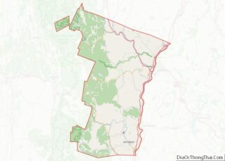
Bethel location map. Where is Bethel CDP?

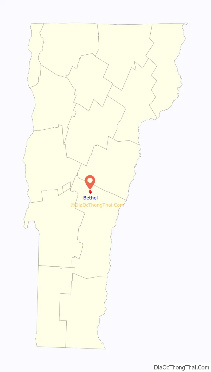
Bethel Road Map

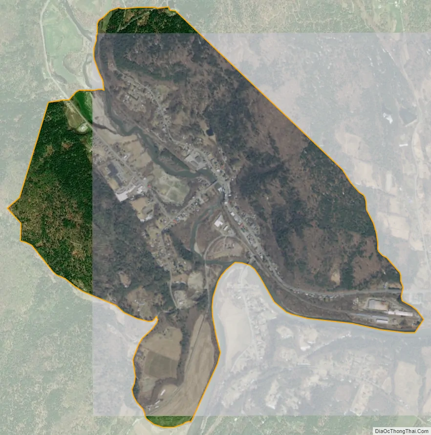
Bethel city Satellite Map
Geography
Bethel is located along the Third Branch of the White River, at its confluence with the White River. Vermont Routes 12 and 107 diverge at the village, with Route 12 heading north up the Third Branch valley towards Randolph and Route 107 heading southwest up the White River Valley towards Stockbridge. The two routes travel east in a concurrency down the White River valley into Royalton.
See also
Map of Vermont State and its subdivision: Map of other states:- Alabama
- Alaska
- Arizona
- Arkansas
- California
- Colorado
- Connecticut
- Delaware
- District of Columbia
- Florida
- Georgia
- Hawaii
- Idaho
- Illinois
- Indiana
- Iowa
- Kansas
- Kentucky
- Louisiana
- Maine
- Maryland
- Massachusetts
- Michigan
- Minnesota
- Mississippi
- Missouri
- Montana
- Nebraska
- Nevada
- New Hampshire
- New Jersey
- New Mexico
- New York
- North Carolina
- North Dakota
- Ohio
- Oklahoma
- Oregon
- Pennsylvania
- Rhode Island
- South Carolina
- South Dakota
- Tennessee
- Texas
- Utah
- Vermont
- Virginia
- Washington
- West Virginia
- Wisconsin
- Wyoming