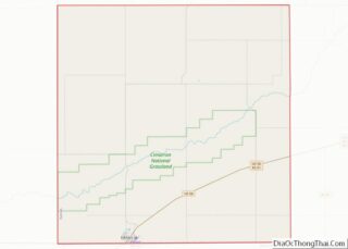
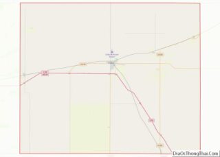
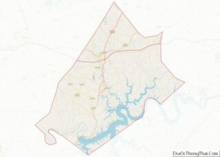
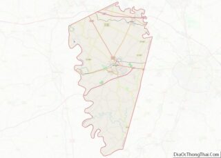
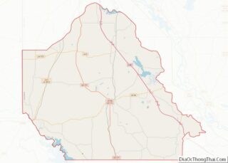
McPherson County (standard abbreviation: MP) is a county located in the U.S. state of Kansas. As of the 2020 census, the county population was 30,223. The largest city and county seat is McPherson. The county is named for Civil War General James B. McPherson. McPherson County overview: Name: McPherson County FIPS code: 20-113 State: Kansas ... Read more
Map of US Counties
Pottawatomie County (standard abbreviation: PT) is a county located in the U.S. state of Kansas. As of the 2020 census, the county population was 25,348. The county seat is Westmoreland. The county takes its name from the Potawatomi tribe of Native Americans. Pottawatomie County overview: Name: Pottawatomie County FIPS code: 20-149 State: Kansas Founded: February ... Read more
Sherman County (standard abbreviation: SH) is a county located in the U.S. state of Kansas. As of the 2020 census, the county population was 5,927. Its county seat is Goodland. Sherman County was created by the Legislature of 1873, and named after General William Tecumseh Sherman. Sherman County overview: Name: Sherman County FIPS code: 20-181 ... Read more
Allen County is a county located in the U.S. state of Kentucky. As of the 2020 census, the population was 20,588. Its county seat is Scottsville. The county is named for Colonel John Allen, a state senator and soldier who was killed leading the 1st Regiment of Kentucky Rifleman at the Battle of Frenchtown, Michigan ... Read more
Calloway County is a county located in the southwest part of the U.S. Commonwealth of Kentucky. As of the 2020 census, the population was 37,103. Its county seat is Murray. The county was founded in November 1822 and named for Colonel Richard Callaway, one of the founders of Boonesborough. Calloway County comprises the Murray, KY ... Read more
Fayette County is located in the central part of the U.S. state of Kentucky. As of the 2020 census, the population was 322,570, making it the second-most populous county in the commonwealth. Its territory, population and government are coextensive with the city of Lexington, which also serves as the county seat. Fayette County is part ... Read more
Hart County is a county located in the south central portion of the Commonwealth of Kentucky. As of the 2020 census, the population was 19,288. Its county seat is Munfordville. Its largest city is Horse Cave. Hart County is a prohibition or dry county. Hart County overview: Name: Hart County FIPS code: 21-099 State: Kentucky ... Read more
Leslie County is located in the U.S. state of Kentucky. Its county seat is Hyden. Leslie is a prohibition or dry county. Leslie County overview: Name: Leslie County FIPS code: 21-131 State: Kentucky Founded: 1878 Named for: Preston Leslie Seat: Hyden Largest city: Hyden Total Area: 404 sq mi (1,050 km²) Land Area: 401 sq mi (1,040 km²) Total Population: 10,513 ... Read more
Meade County is a county located in the U.S. state of Kentucky. As of the 2020 census, the population was 30,003. Its county seat is Brandenburg. The county was founded December 17, 1823, and named for Captain James M. Meade, who was killed in action at the Battle of River Raisin during the War of ... Read more
Pike County is a county in the U.S. state of Kentucky. As of the 2020 Census, the population was 58,669. Its county seat is Pikeville. The county was founded in 1821. With regard to the sale of alcohol, it is classified as a moist county–– a county in which alcohol sales are prohibited (a dry ... Read more
Warren County is a county located in the south central portion of the U.S. state of Kentucky. As of the 2020 census, the population was 134,554, making it the fifth-most populous county in Kentucky. The county seat is Bowling Green. Warren County is now classified as a wet county after voters approved the measure in ... Read more
Calcasieu Parish (/ˈkælkəˌʃuː/; French: Paroisse de Calcasieu) is a parish located on the southwestern border of the U.S. state of Louisiana. As of the 2020 census, the population was 216,785. The parish seat is Lake Charles. Calcasieu Parish is part of the Lake Charles metropolitan statistical area; it is also located near the Beaumont–Port Arthur ... Read more