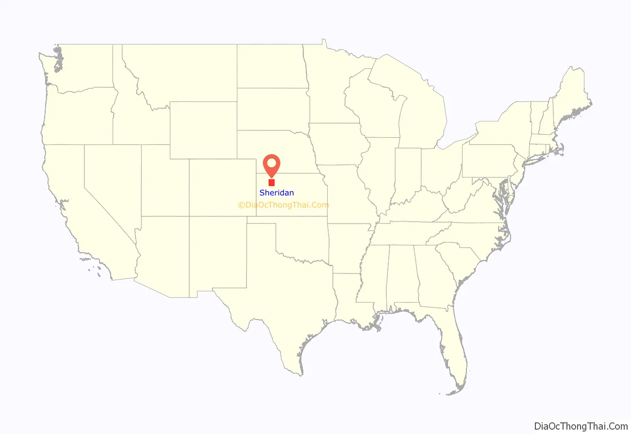
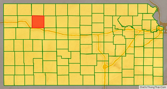
Sheridan County (standard abbreviation: SD) is a county located in the U.S. state of Kansas. As of the 2020 census, the county population was 2,447. Its county seat is Hoxie. The county was named in honor of Phillip H. Sheridan, a general of the American Civil War era.
| Name: | Sheridan County |
|---|---|
| FIPS code: | 20-179 |
| State: | Kansas |
| Founded: | 1873 |
| Named for: | Philip Sheridan |
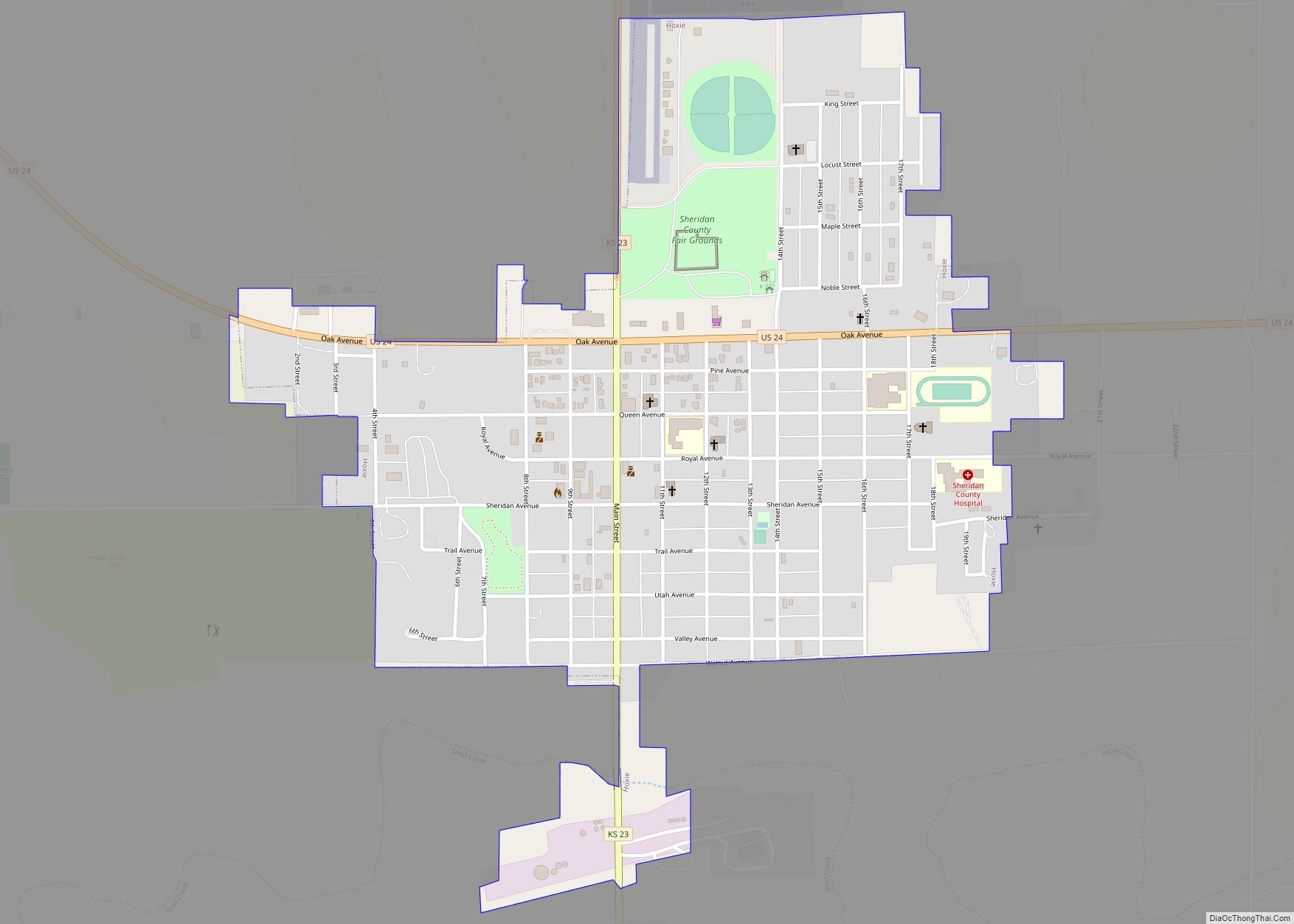
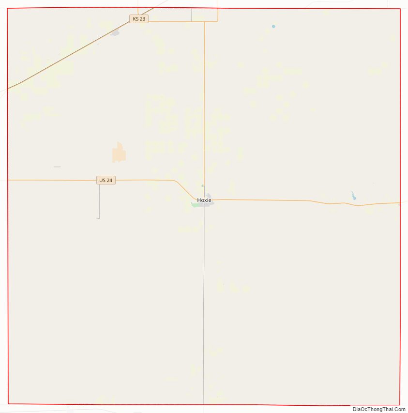
| Seat: | Hoxie |
| Largest city: | Hoxie |
| Total Area: | 896 sq mi (2,320 km²) |
| Land Area: | 896 sq mi (2,320 km²) |
| Total Population: | 2,447 |
| Population Density: | 2.7/sq mi (1.0/km²) |
| Time zone: | UTC−6 (Central) |
| Summer Time Zone (DST): | UTC−5 (CDT) |
| Website: | County Website |
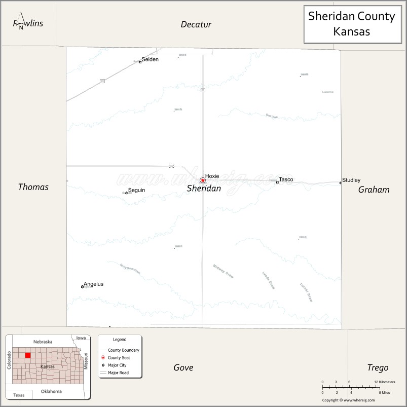
Sheridan County location map. Where is Sheridan County?
History
Early history
For many millennia, the Great Plains of North America was inhabited by nomadic Native Americans. From the 16th century to 18th century, the Kingdom of France claimed ownership of large parts of North America. In 1762, after the French and Indian War, France secretly ceded New France to Spain, per the Treaty of Fontainebleau.
19th century
In 1802, Spain returned most of the land to France while keeping title to about 7,500 square miles. In 1803, most of the land for modern day Kansas was acquired by the United States from France as part of the 828,000 square miles Louisiana Purchase for 2.83 cents per acre.
In 1854, the Kansas Territory was organized, then in 1861 Kansas became the 34th U.S. state. In 1873, the remaining unorganized western part of the state was divided into 22 new counties, including Sheridan County. Sheridan County was then organized in 1880, with the county seat at Kenneth. After it became apparent in 1886, that the railroad line coming to the area would run south of Kenneth to the new town of Hoxie, the residents of Kenneth accepted an offer to get new lots in Hoxie (and move their buildings at no expense), and the county seat transferred to Hoxie. The Lincoln-Colorado railroad line opened through the county in 1888, and formally became part of the Union Pacific Railroad in the late 1890s.
20th century
The population of Sheridan County grew in the early 20th century and peaked in 1930 at 6,038 residents. Since then the population has steadily declined, as part of the general depopulation of the Great Plains.
The rail line stayed in operation in Sheridan County until 1998. After flooding east of Plainville in the 1993 floods damaged the line, the railroad concluded it would not be cost effective to rebuild, and the entire line from Plainville to Colby was abandoned by 1998.
Sheridan County Road Map
Geography
According to the U.S. Census Bureau, the county has a total area of 896 square miles (2,320 km), of which 896 square miles (2,320 km) is land and 0.3 square miles (0.78 km) (0.03%) is water.
Adjacent counties
- Decatur County (north)
- Norton County (northeast)
- Graham County (east)
- Gove County (south)
- Thomas County (west)
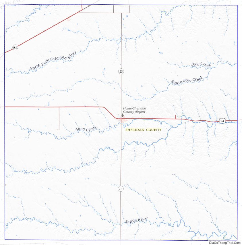
Sheridan County Topographic Map
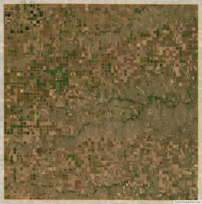
Sheridan County Satellite Map
Sheridan County Outline Map