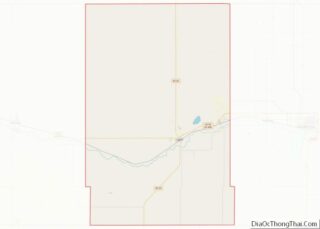
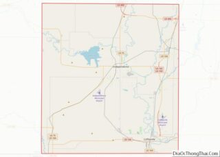
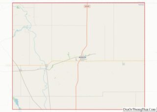
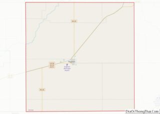
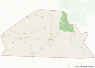
Map of Lancaster County

Map of Lancaster County, Virginia

Lancaster County is a county located on the Northern Neck in the Commonwealth of Virginia. As of the 2020 census, the population sits at 10,919. Its county seat is Lancaster. Located on the Northern Neck near the mouth of the Rappahannock River, Lancaster County is part of the Northern Neck George Washington Birthplace wine-growing region … Read more

Map of New Kent County

Map of New Kent County, Virginia

New Kent County is a county in the eastern part the Commonwealth of Virginia. As of the 2020 United States Census, its population was 22,945. Its county seat is New Kent. New Kent County is included in the Greater Richmond Region. New Kent County overview: Name: New Kent County FIPS code: 51-127 State: Virginia Founded: … Read more

Map of Prince George County

Map of Prince George County, Virginia

Prince George County is a county located in the Commonwealth of Virginia. As of the 2020 census, the population was 43,010. Its county seat is Prince George. Prince George County is located within the Greater Richmond Region of the U.S. state of Virginia. Prince George County overview: Name: Prince George County FIPS code: 51-149 State: … Read more

Map of Spotsylvania County

Map of Spotsylvania County, Virginia

Spotsylvania County is a county in the U.S. state of Virginia. As of the July 2021 estimate, the population was 143,676. Its county seat is Spotsylvania Courthouse. Spotsylvania County overview: Name: Spotsylvania County FIPS code: 51-177 State: Virginia Founded: 1721 Named for: Alexander Spotswood Seat: Spotsylvania Courthouse Total Area: 414 sq mi (1,070 km²) Land Area: 401 sq mi (1,040 km²) … Read more

Map of York County

Map of York County, Virginia

York County (formerly Charles River County) is a county in the eastern part of the Commonwealth of Virginia, located in the Tidewater. As of the 2020 census, the population was 70,045. The county seat is the unincorporated town of Yorktown. Located on the north side of the Virginia Peninsula, with the York River as its … Read more

Map of Jefferson County

Map of Jefferson County, Washington

Jefferson County is a county located in the U.S. state of Washington. As of the 2020 census, the population was 32,977. The county seat and only incorporated city is Port Townsend. The county is named for Thomas Jefferson. Jefferson County was formed out of Thurston County on December 22, 1852, by the legislature of Oregon … Read more

Map of Spokane County

Map of Spokane County, Washington

Spokane County is a county located in the U.S. state of Washington. As of the 2020 census, its population was 539,339, making it the fourth-most populous county in Washington. The largest city and county seat is Spokane, the second largest city in the state after Seattle. The county is named after the Spokane tribe. Spokane … Read more

Map of Doddridge County

Map of Doddridge County, West Virginia

Doddridge County overview: Name: Doddridge County FIPS code: 54-017 State: West Virginia Founded: February 4, 1845 Named for: Philip Doddridge Seat: West Union Largest town: West Union Total Area: 320 sq mi (800 km²) Land Area: 320 sq mi (800 km²) Total Population: 7,808 Population Density: 24/sq mi (9.4/km²) Doddridge County location map. Where is Doddridge County? History First settlers The area … Read more

Map of Marshall County

Map of Marshall County, West Virginia

Marshall County is a county in the U.S. state of West Virginia. At the 2020 census, the population was 30,591. Its county seat is Moundsville. With its southern border at what would be a continuation of the Mason-Dixon line to the Ohio River, it forms the base of the Northern Panhandle of West Virginia. Marshall … Read more

Map of Raleigh County

Map of Raleigh County, West Virginia

Raleigh County is a county in the U.S. state of West Virginia. As of the 2020 census, the population was 74,591. Its county seat is Beckley. The county was founded in 1850 and is named for Sir Walter Raleigh. Raleigh County is included in the Beckley, West Virginia Metropolitan Statistical Area. Raleigh County overview: Name: … Read more

Map of Ashland County

Map of Ashland County, Wisconsin

Ashland County is a county located in the U.S. state of Wisconsin. As of the 2020 census, the population was 16,027. Its county seat is Ashland. The county was formed on March 27, 1860, from La Pointe County. The county partly overlaps with the reservation of the Bad River Band of the Lake Superior Tribe … Read more

Map of Eau Claire County

Map of Eau Claire County, Wisconsin

Eau Claire County overview: Name: Eau Claire County FIPS code: 55-035 State: Wisconsin Founded: 1856 Named for: Eau Claire River Seat: Eau Claire Largest city: Eau Claire Total Area: 645 sq mi (1,670 km²) Land Area: 638 sq mi (1,650 km²) Total Population: 105,710 Population Density: 165.7/sq mi (64.0/km²) Eau Claire County location map. Where is Eau Claire County? History Eau Claire … Read more